 F4LUFTBILDER
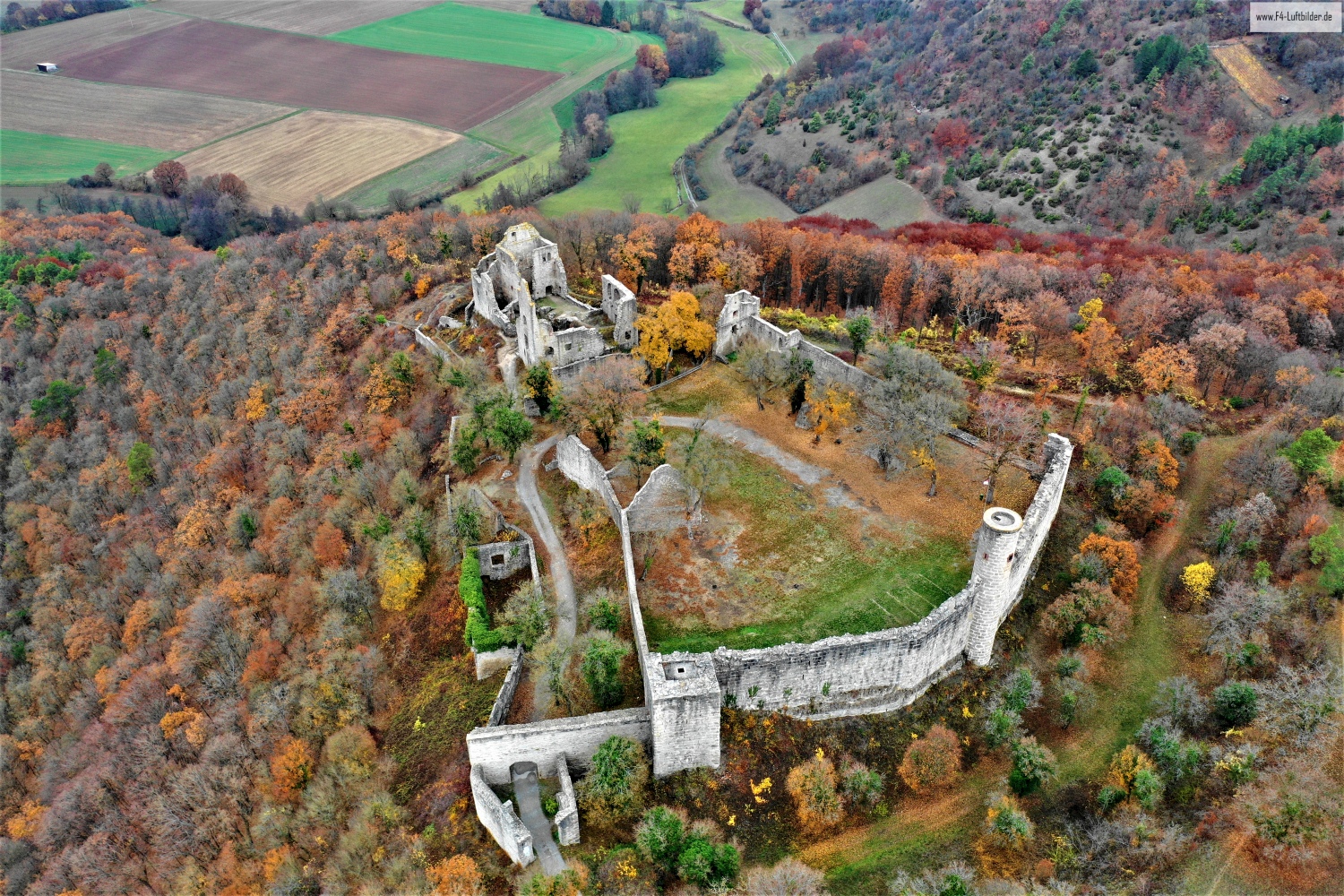
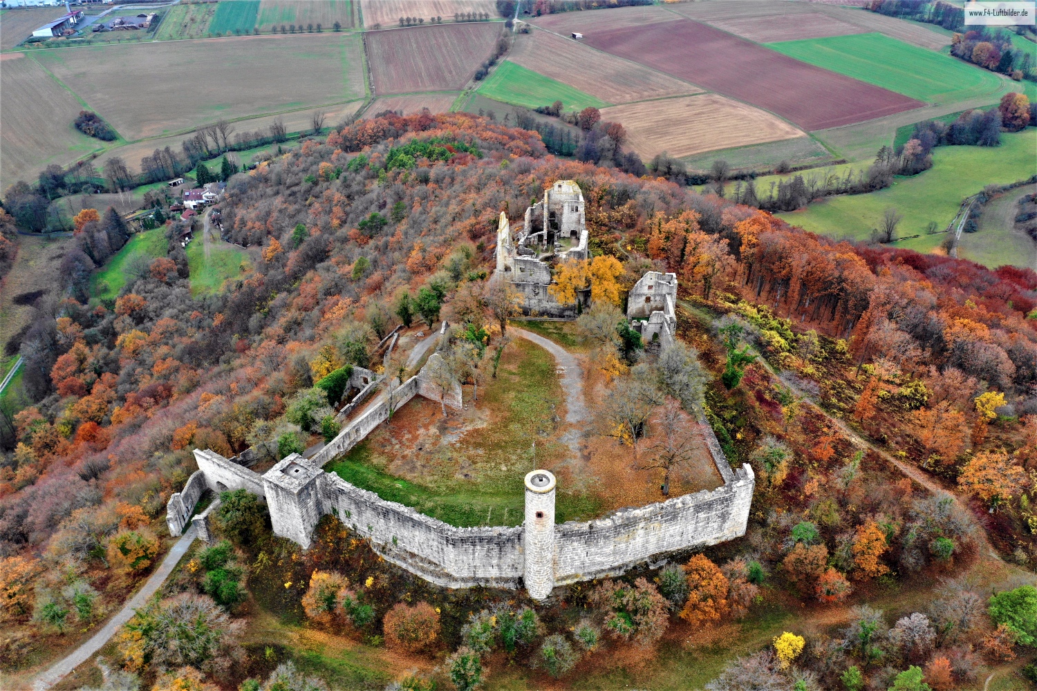
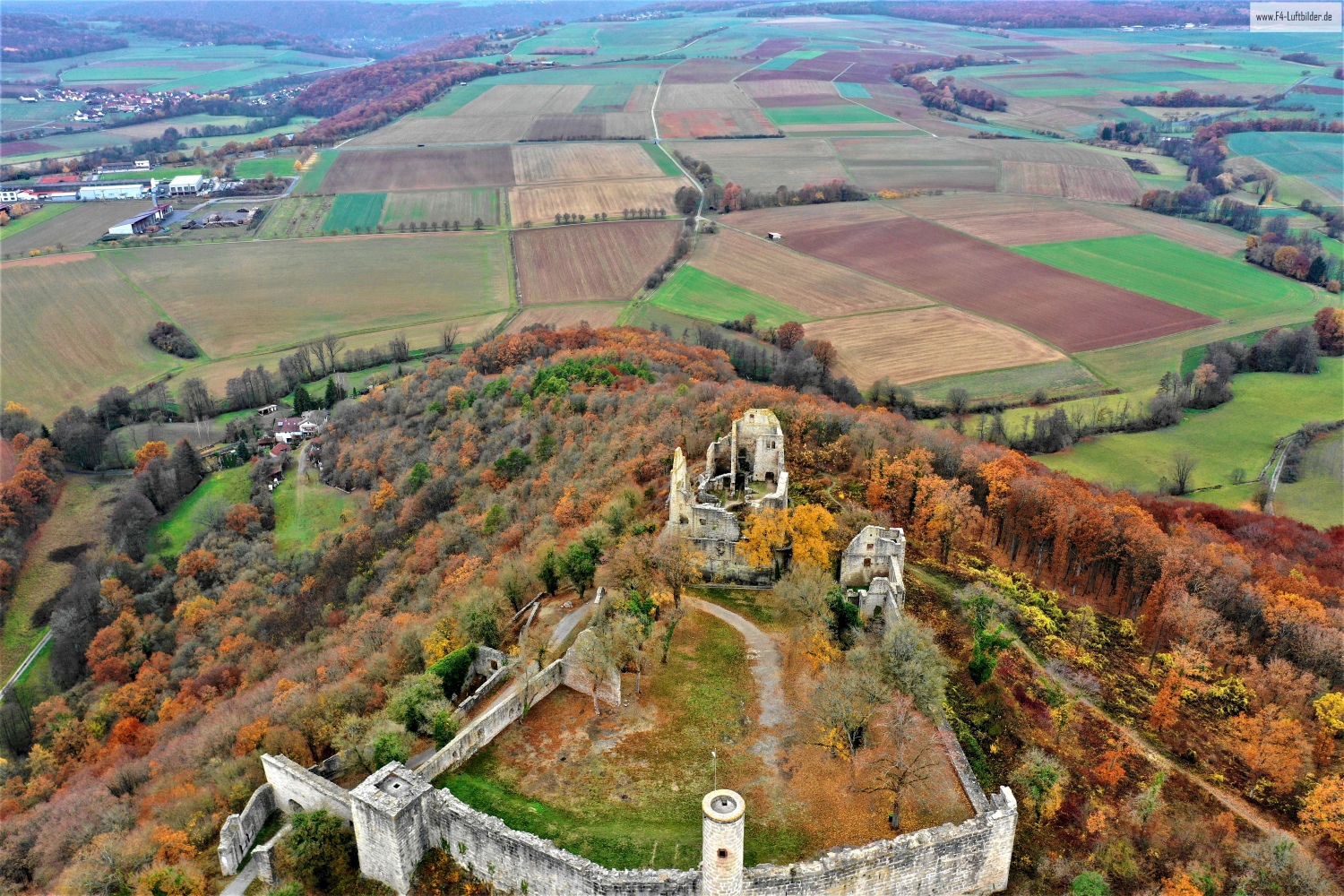
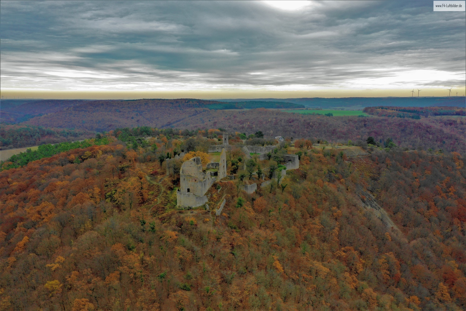
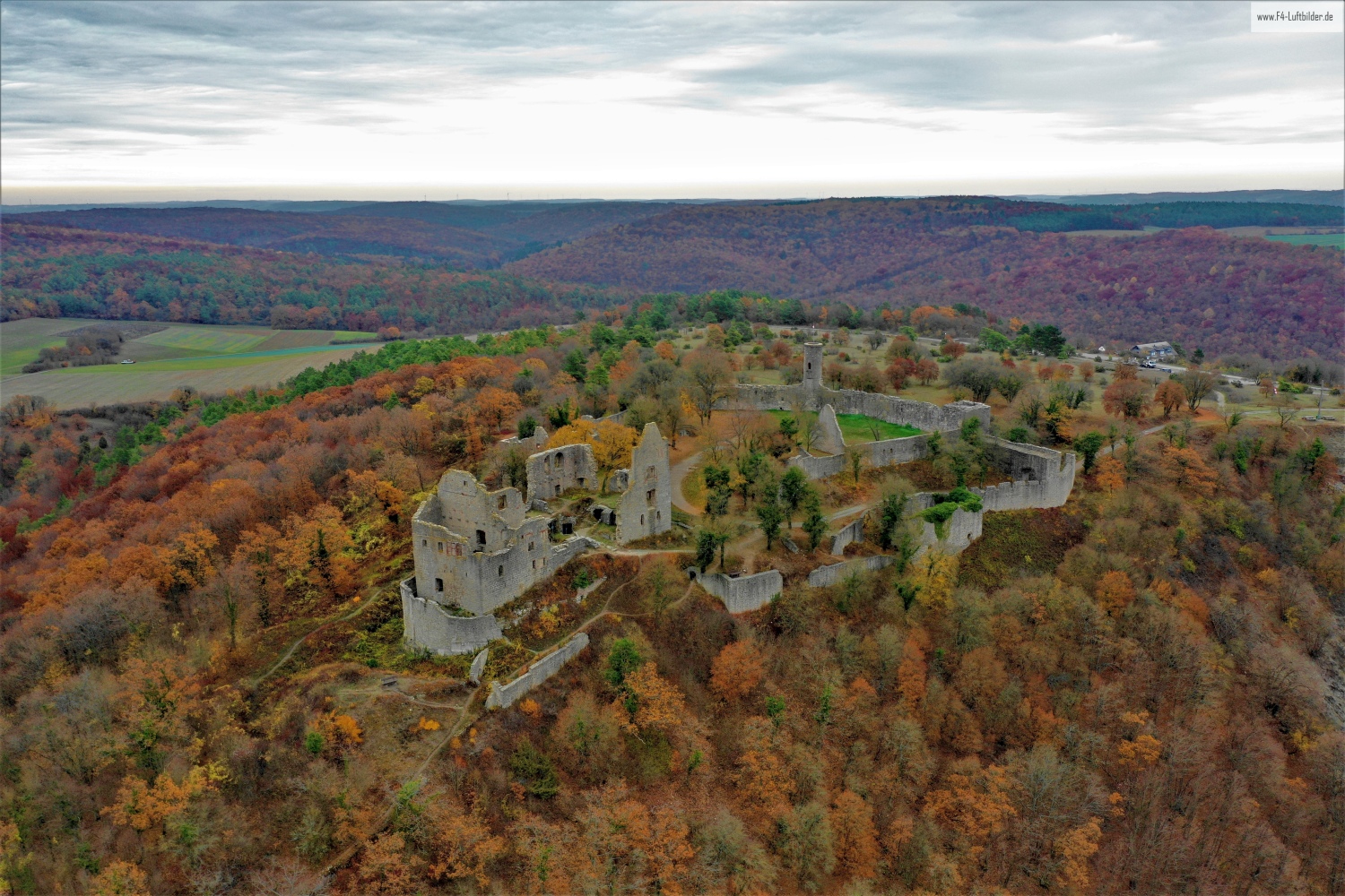
The Homburg near Gössenheim
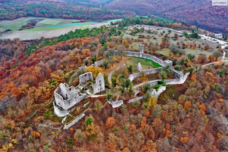
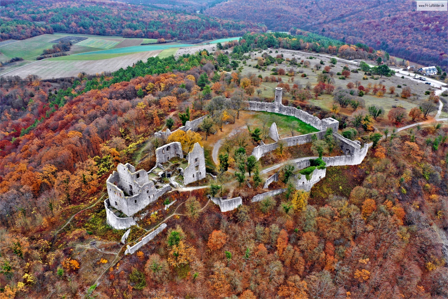
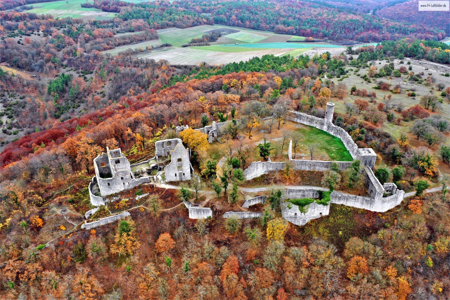
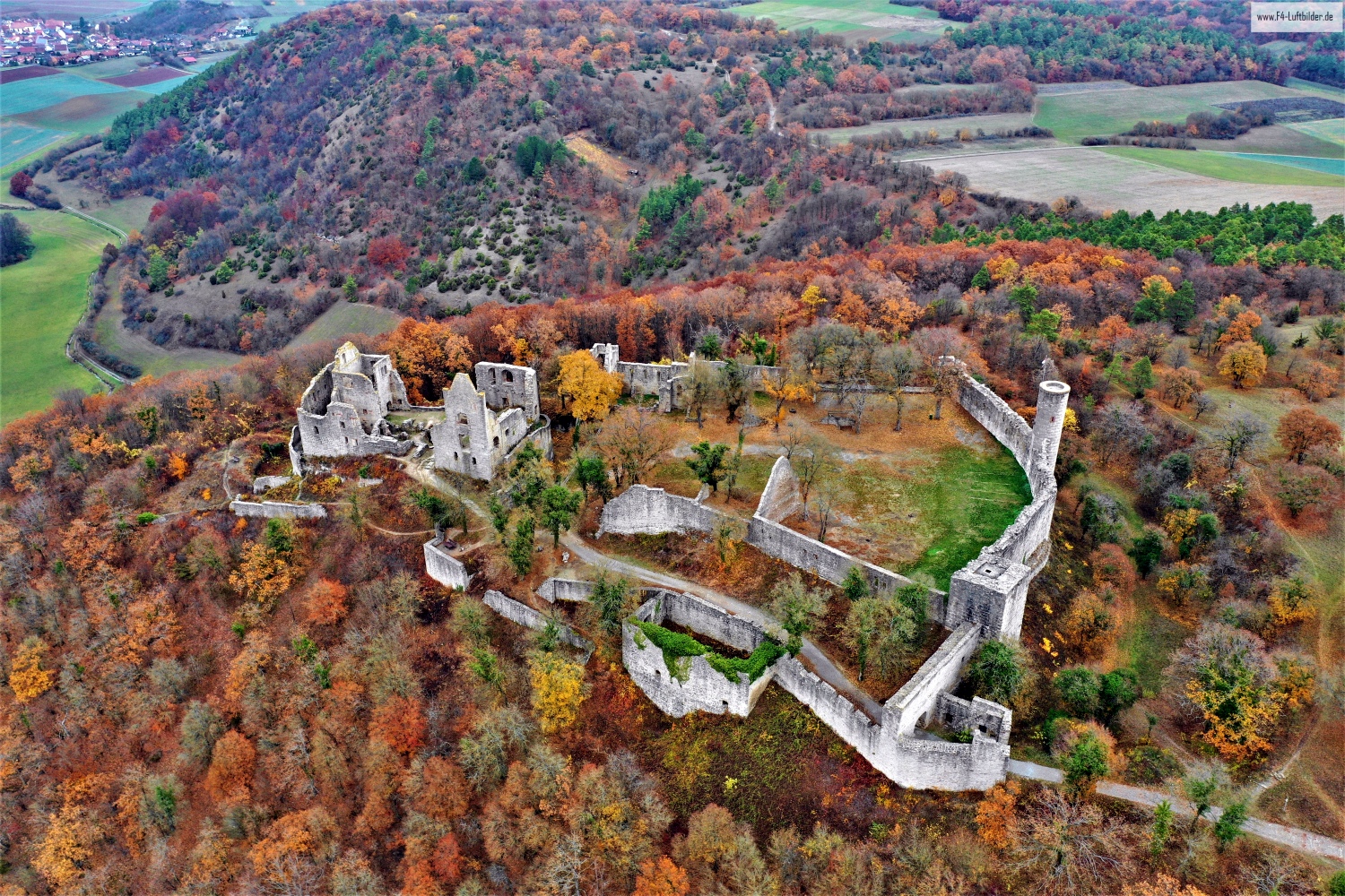
On the Homburg near Gössenheim, the walls of the ruins can be traced into the green interior areas. Behind it, forests and field paths begin. A photo from a wider horizon shows why the rocky location is just as important to the appearance of the complex as the preserved stone.
Wall courses on the ridge
From above, the Homburg can be read as a series of open spaces. A preserved outer wall says more about the extent than a close look at the highest section of the wall.
A ruin is visible from above in places where walls change direction or merge into open interior spaces. There you can follow the floor plan, even if only individual sections have been preserved. Growth and shadows are part of the visible situation. A careful description of the image names the recognizable parts without reconstructing missing buildings from their outline alone. In comparison with a closer picture, it also becomes clear where the large lines of the overview consist of several individual pieces of wall.
Courtyards and entrances
In a courtyard, the relationships between buildings change. What appears from the outside to be a single long building can actually wrap around several open areas. In a steep aerial view, the passageways, the corners and the orientation of the adjacent roofs become understandable. For a caption, a specific reference to the visible side of the courtyard is often more helpful than a list of all the buildings. This means the viewer can recognize the spatial connection themselves and find it again in other images.
The graduation of the mountain ranges
The silhouette of a mountain range is a good way to start looking. First you notice the highest point, then the succession of saddles and flatter sections. In an oblique shot, this profile connects with the shapes in the foreground. A steeper perspective takes more interest in the surface of the slope. A direct comparison makes it understandable why a location can change significantly when the viewing angle changes, even though the recognizable heights in the background remain the same.
Light and dark areas of the image
To switch between two of the 8 aerial photos, shot 4 and shot 8 can be called up directly in the gallery. In the first photo, light and dark areas are closer together in tonal value. In the second shot the contrast is more pronounced. When switching between photos, it is worth looking from the lightest area to the dark areas. The greater the distance, the more individual contours can stand out, even in a small preview.
Shot 8 and Shot 5 are among the views from November 12, 2018. According to the camera's time information, there is about a minute between the two images. The exposure time was 1/80 second for the first of the images mentioned and 1/50 second for the second.
Communicate architecture and location together
Anyone who has visited a building themselves often remembers the entrance and the first view upwards. In the aerial photograph, these exact areas can disappear behind a roof or a wall. A suitable caption helps to connect the tour experienced with the spatial overview. For an aerial photographer, planned use is therefore a good starting point. A view for a site plan needs clear outer edges. An image for the cover page may focus more on the interaction between the building and its surroundings.
Related motifs in the aerial photo archive
Two additional views can be used in the archive for comparison. The first can be found under Ruins of Botenlauben Castle. The preserved walls of Botenlauben Castle make the hill appear from above like a building floor plan. The second belongs to the article Ebersburg castle ruins. From a distance, the Ebersburg is almost hidden in the autumn forest.