 F4LUFTBILDER
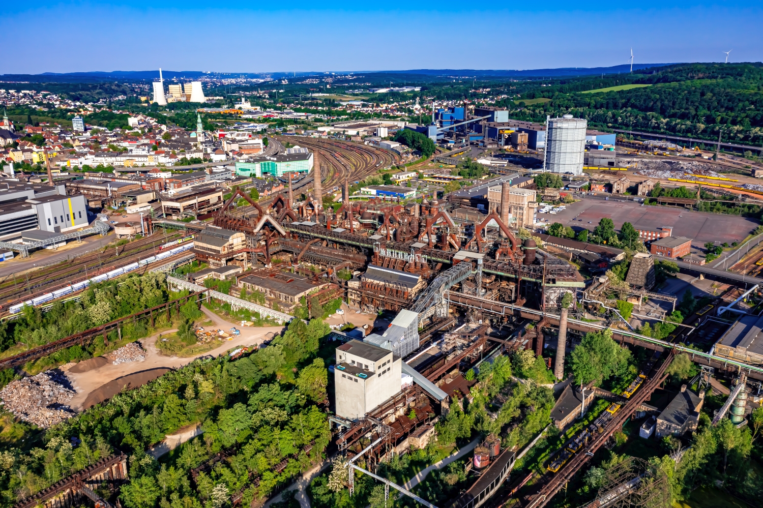
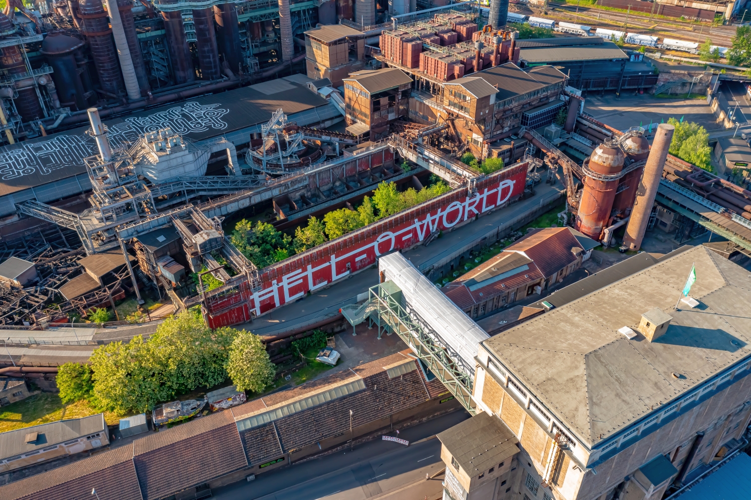
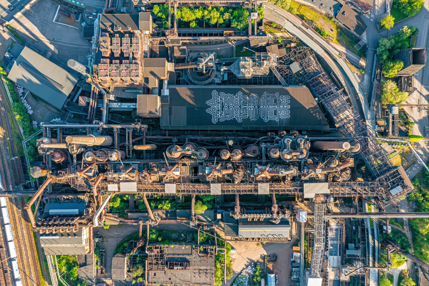
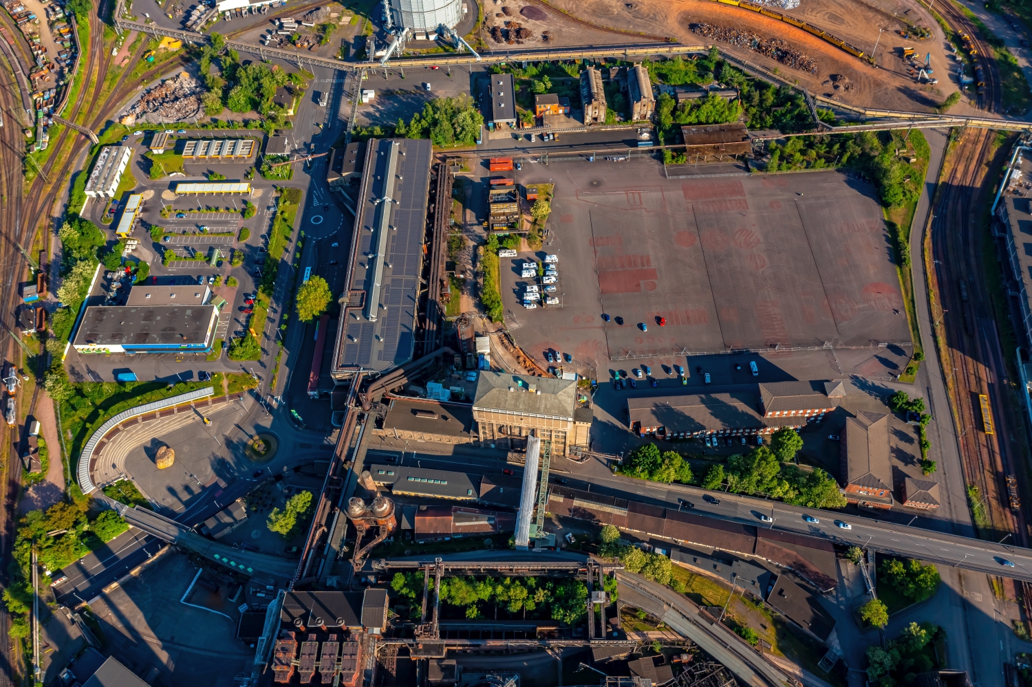
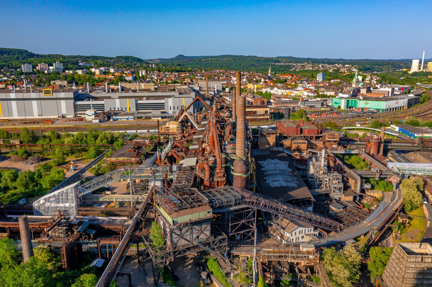
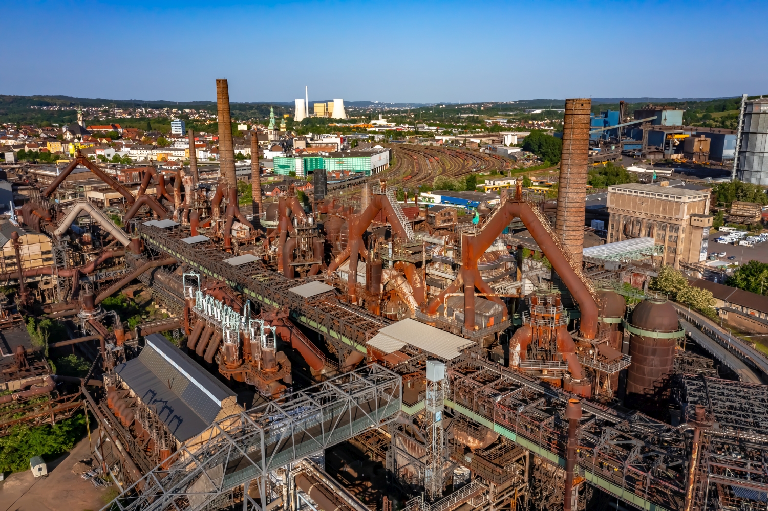
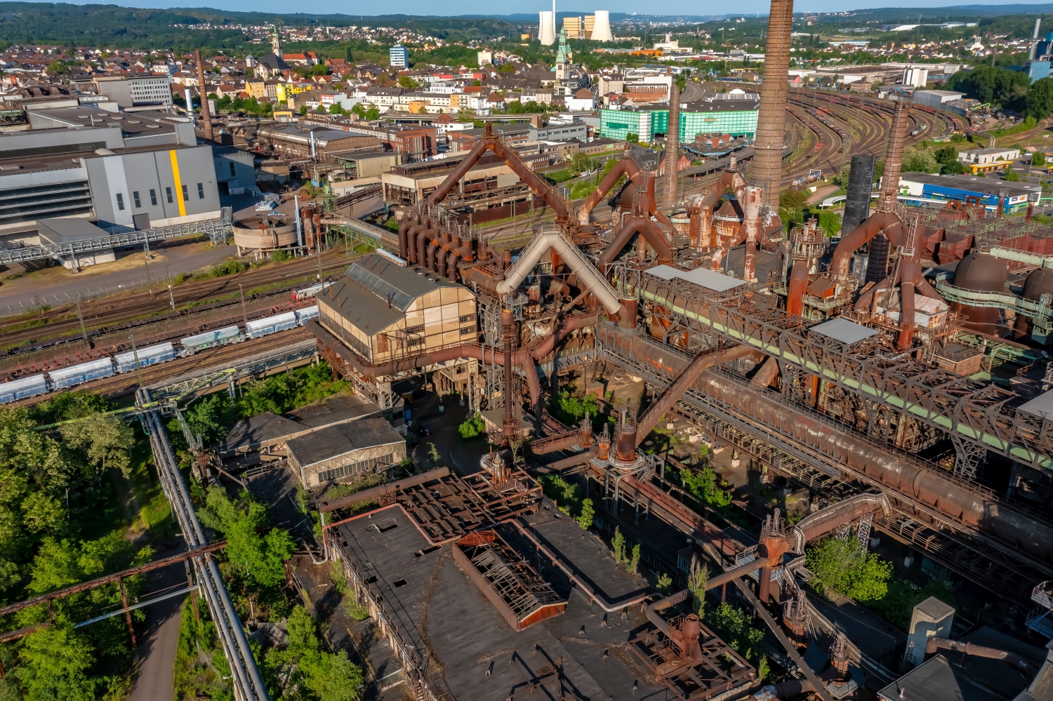
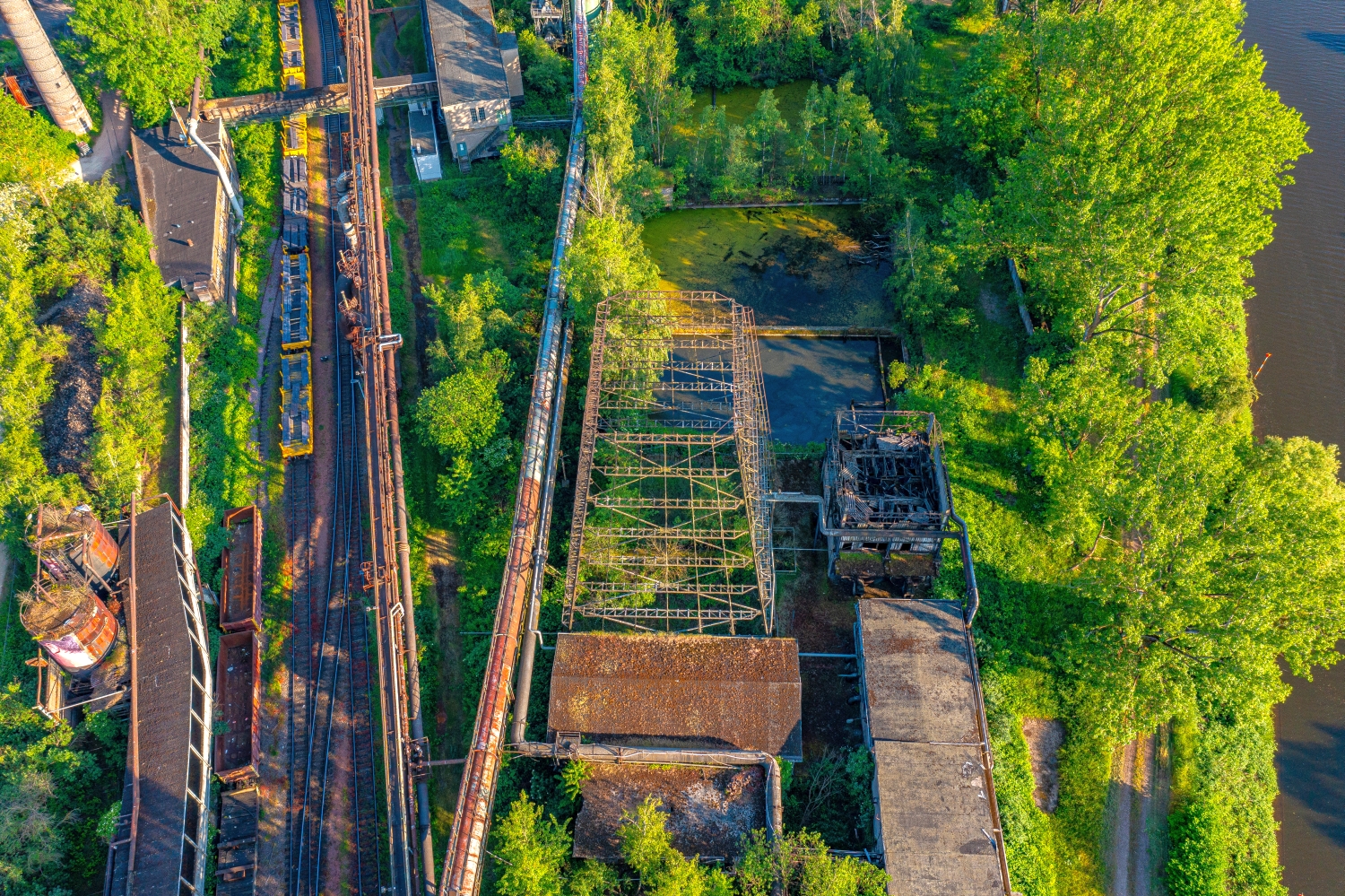
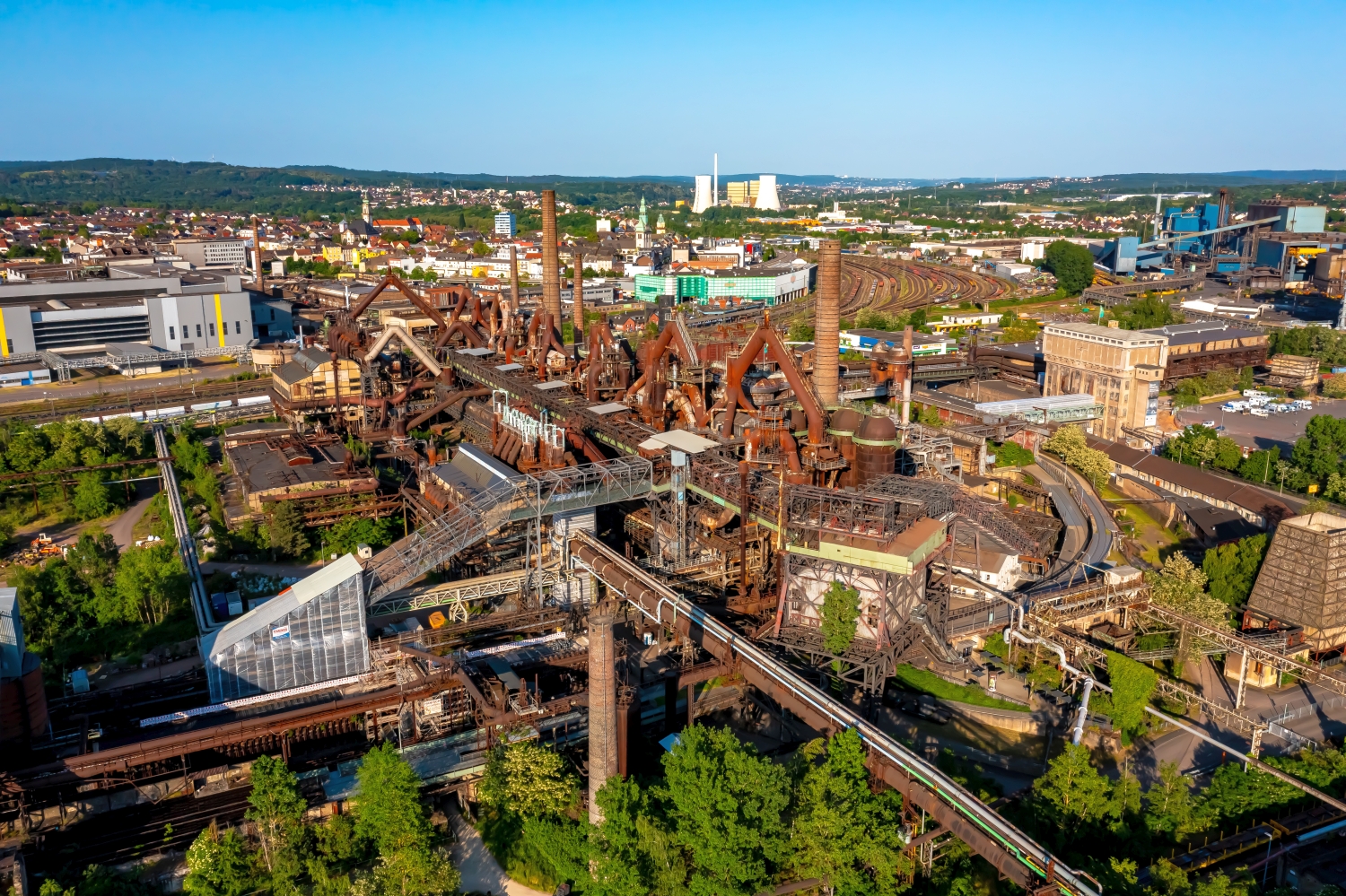
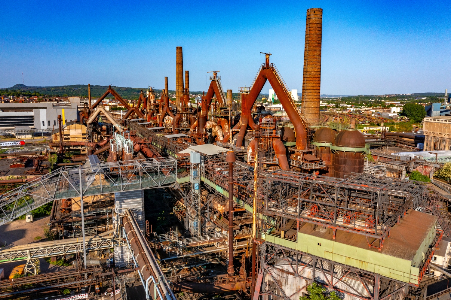
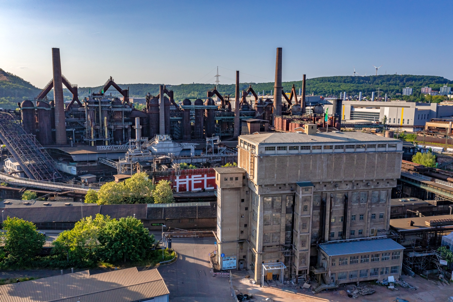
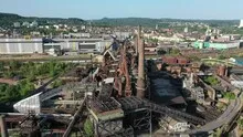
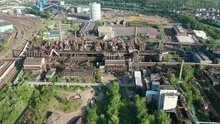
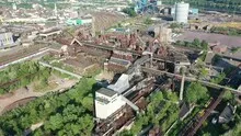
The structure of the Völklinger Hütte
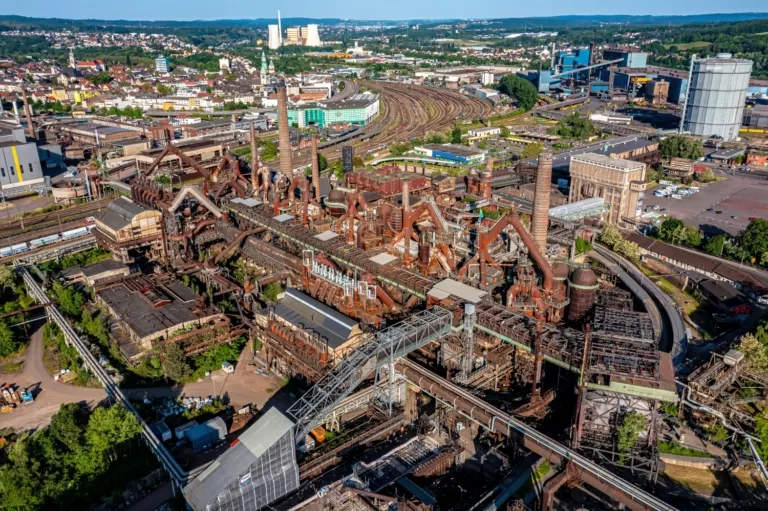
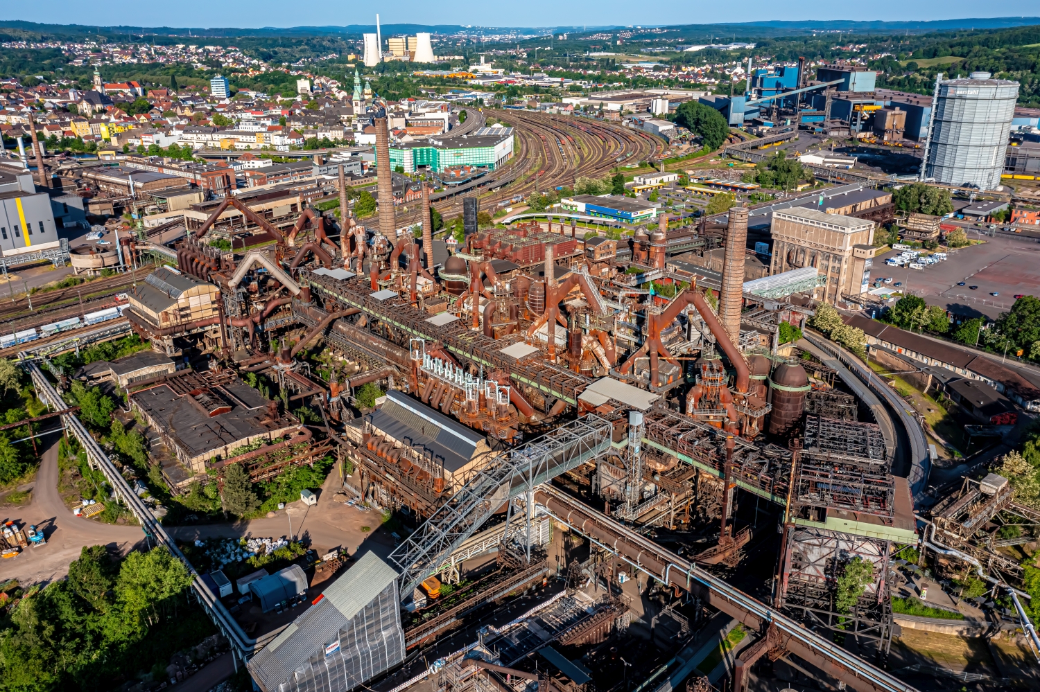
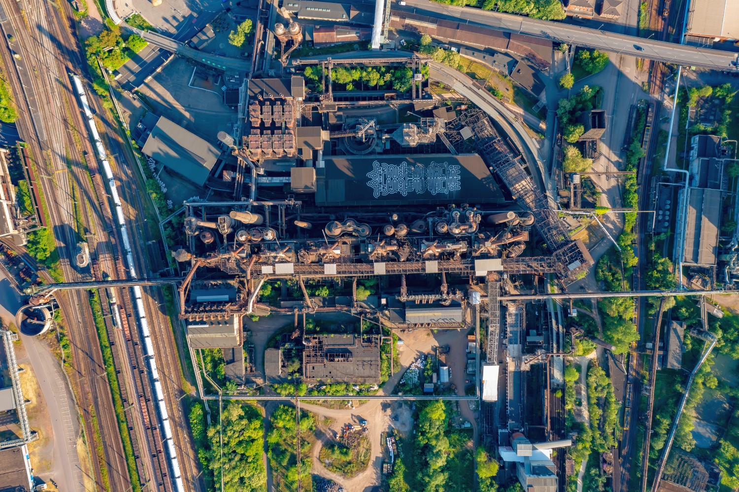
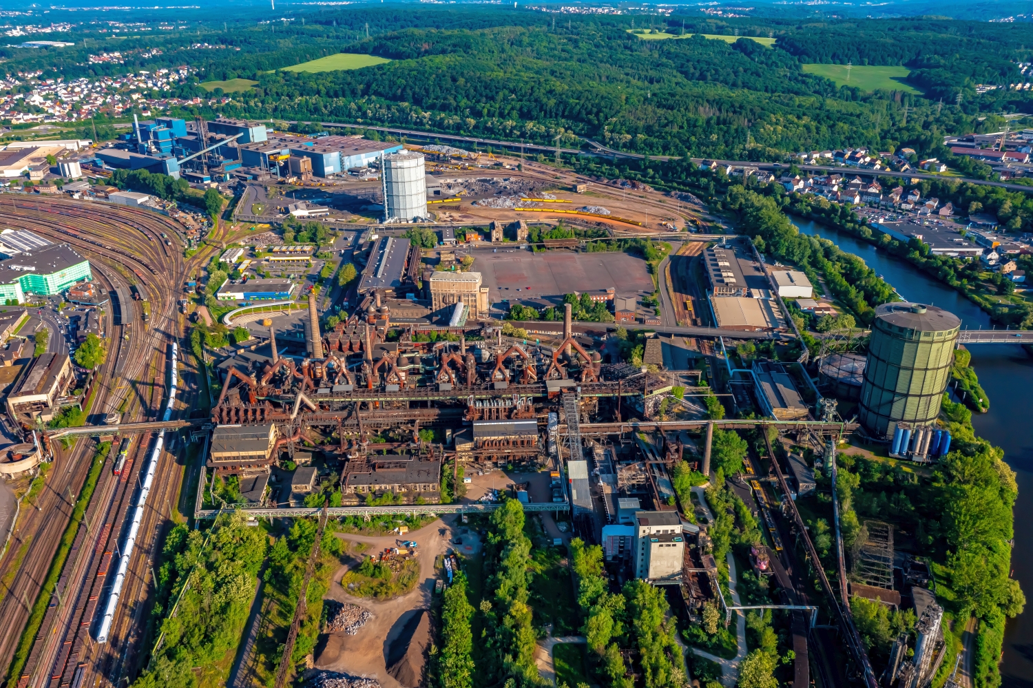
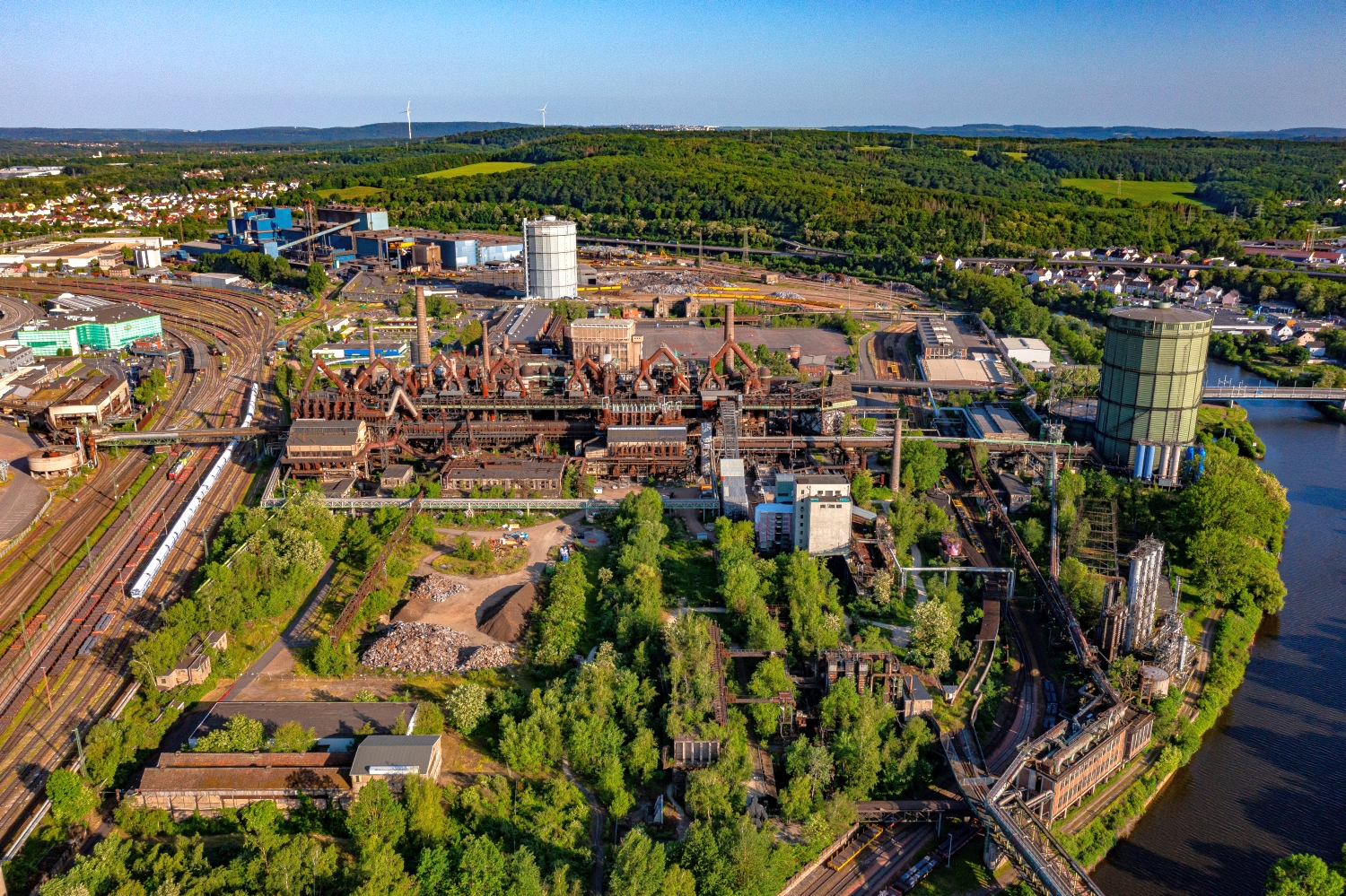
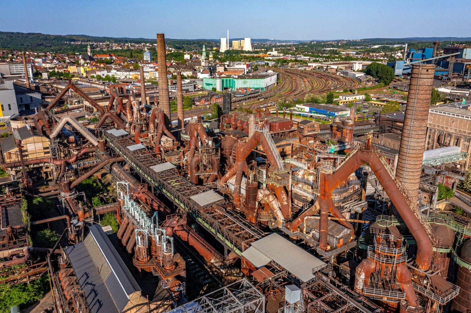
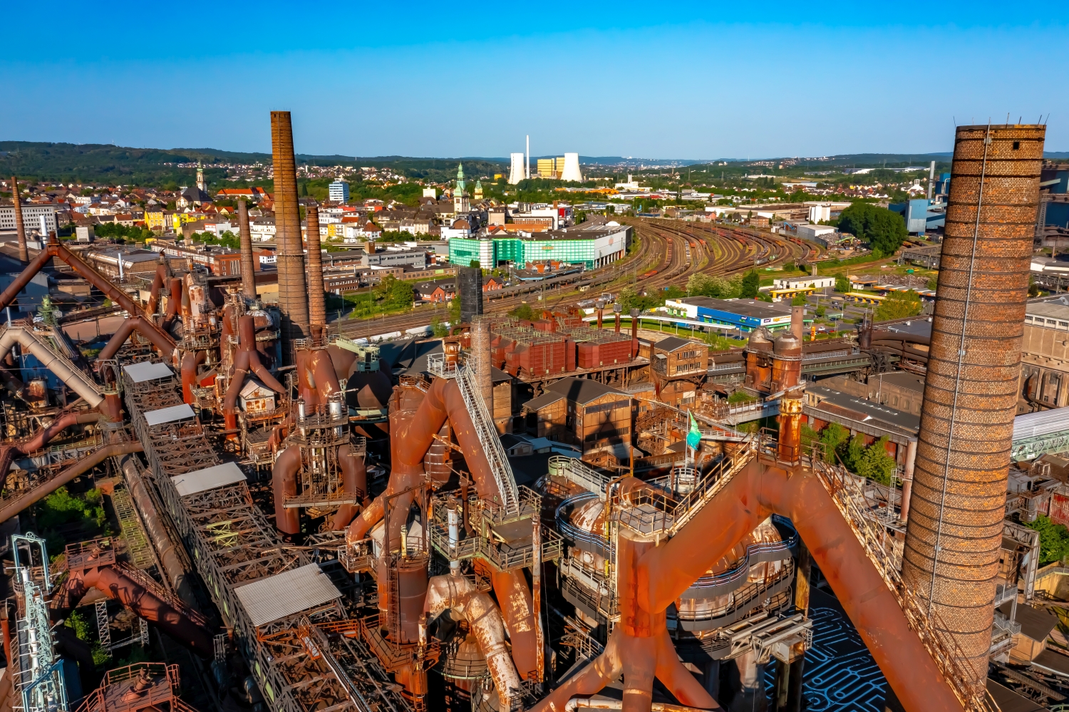
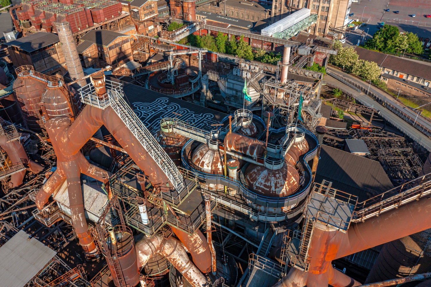
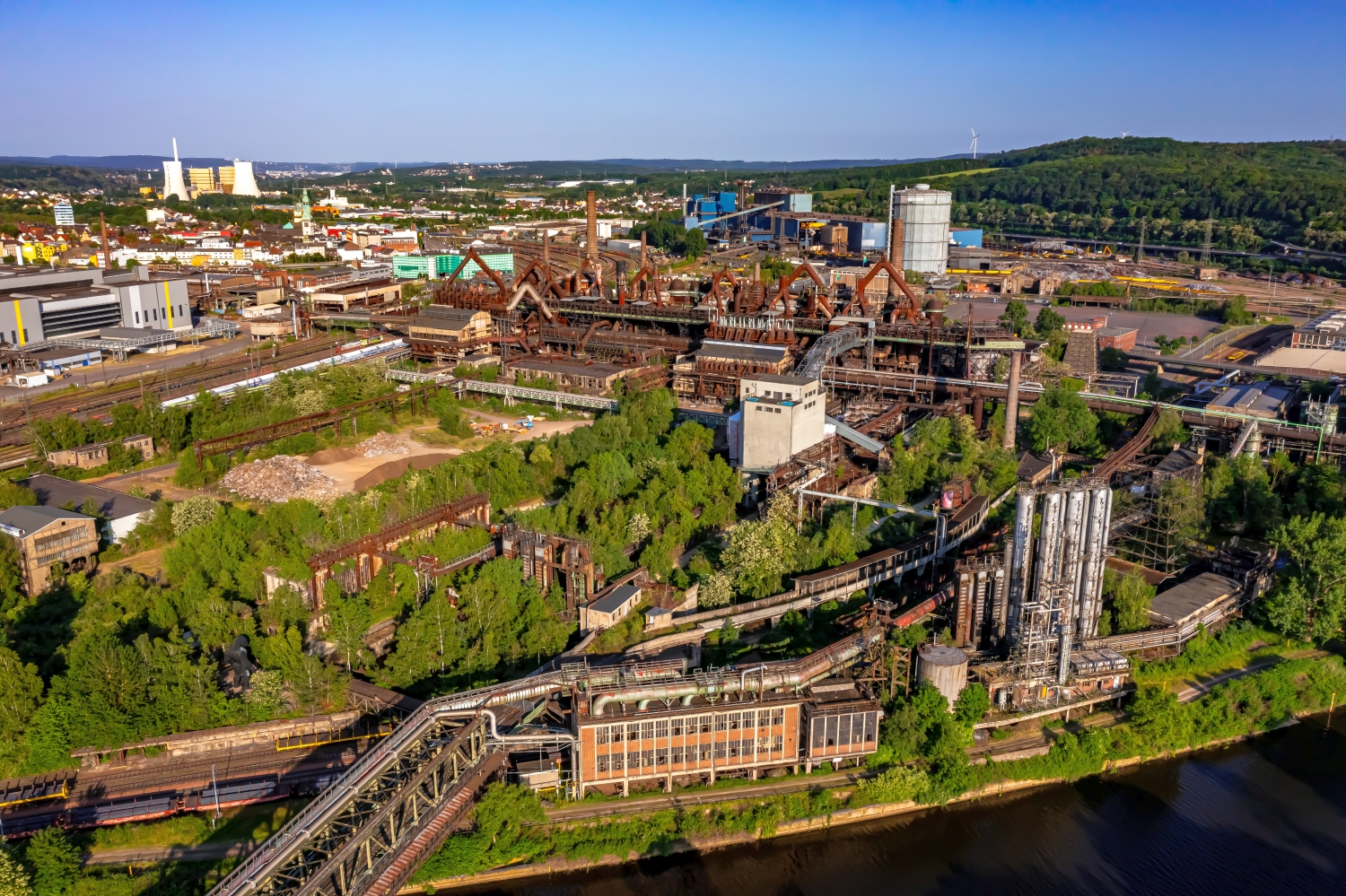
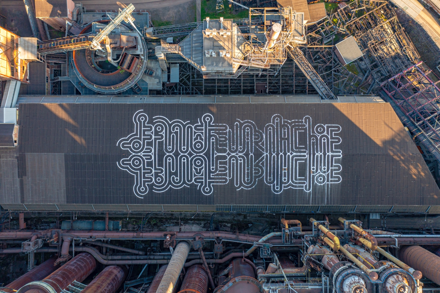
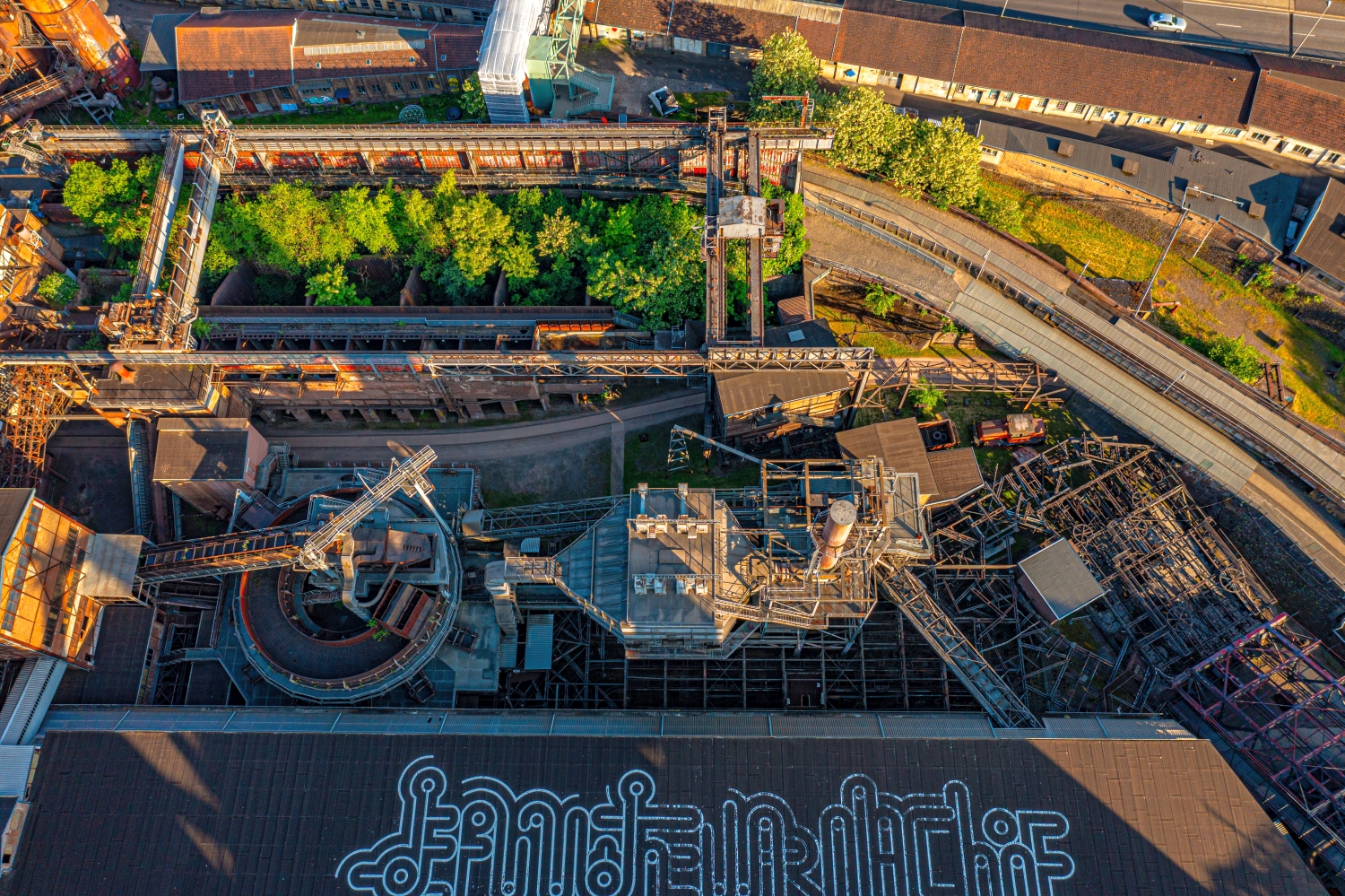
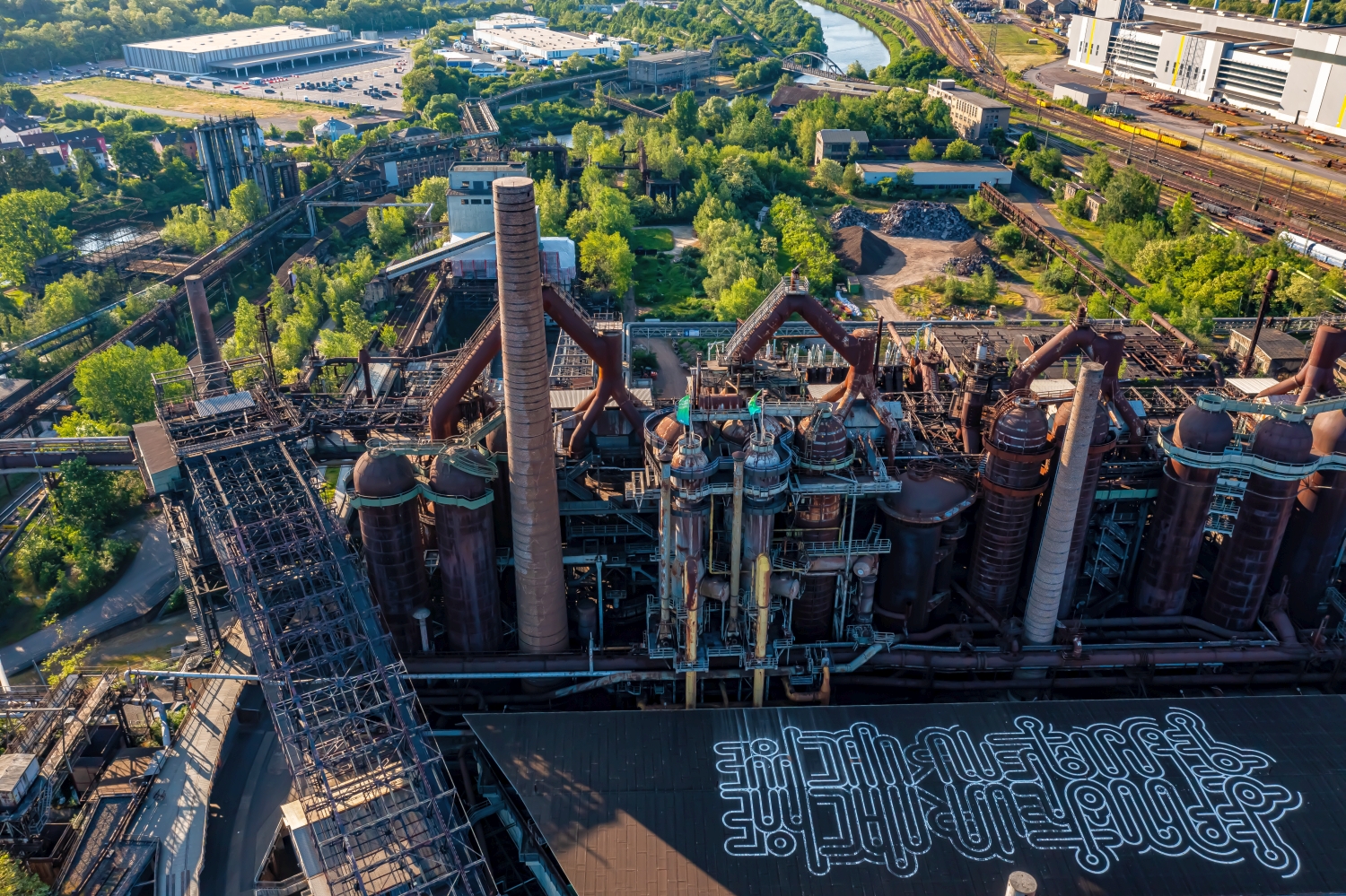
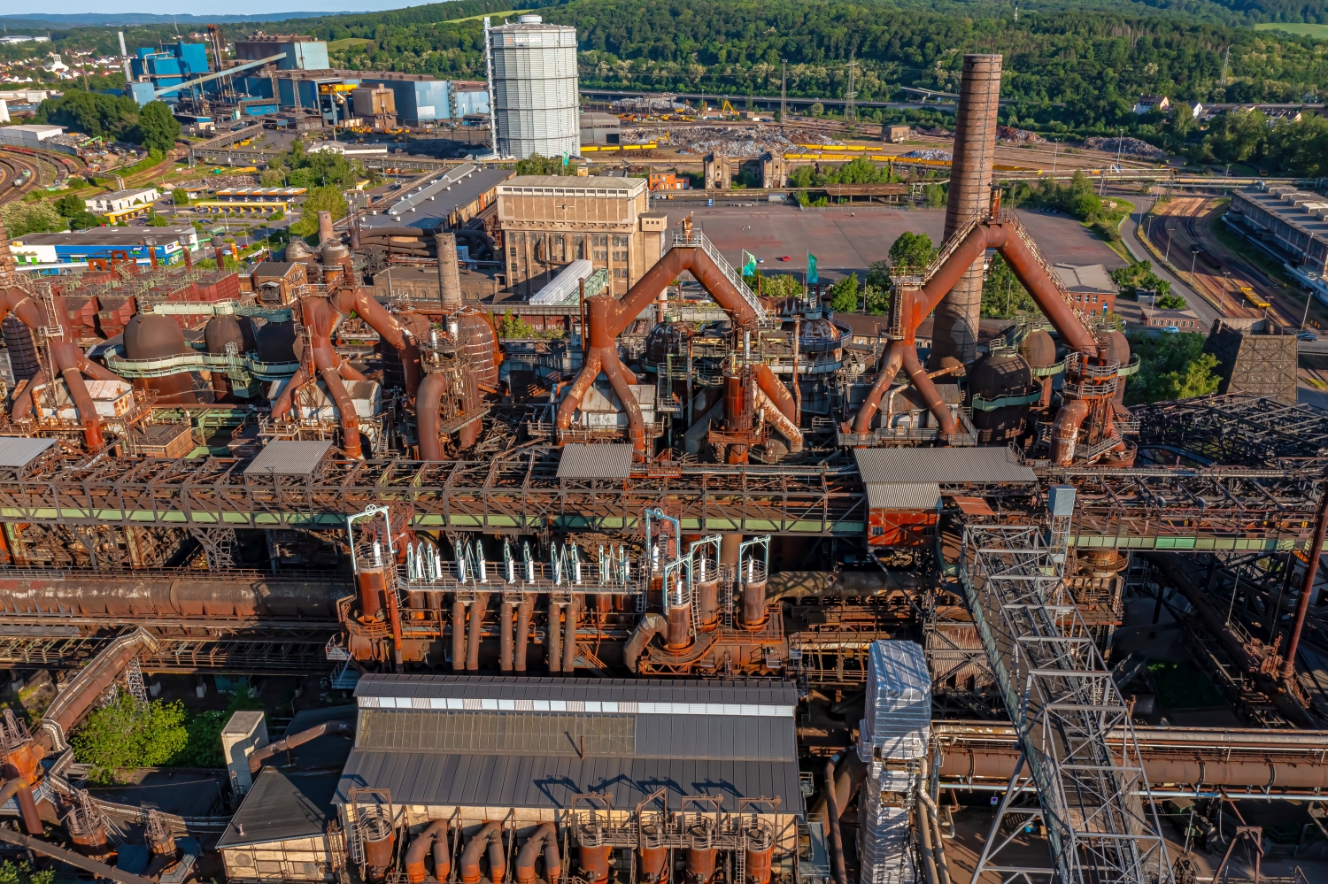
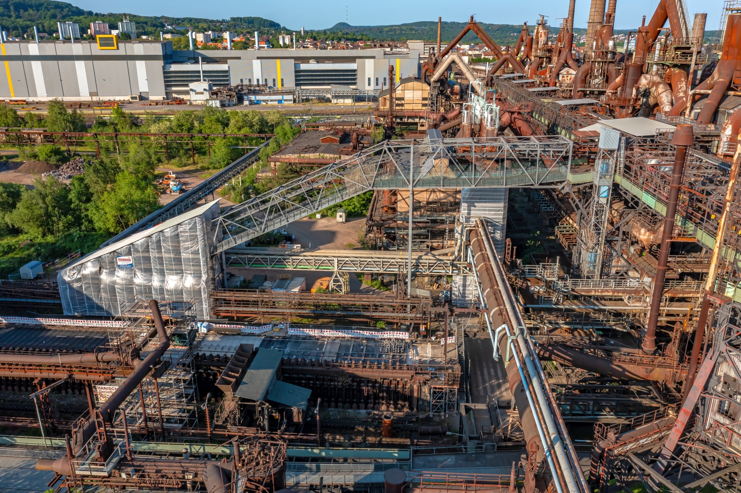
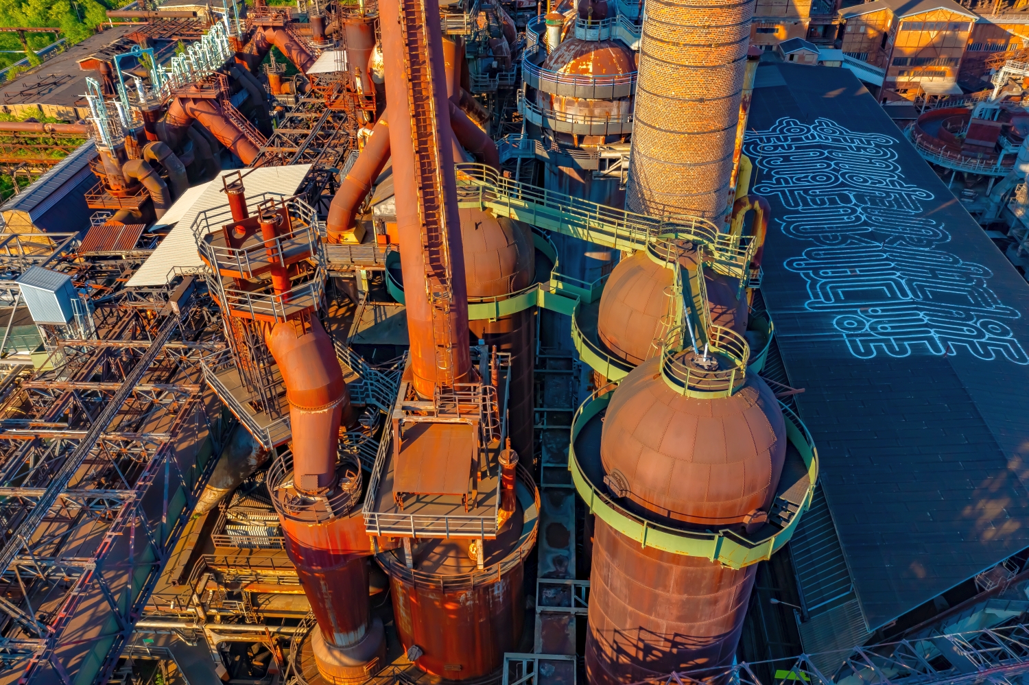
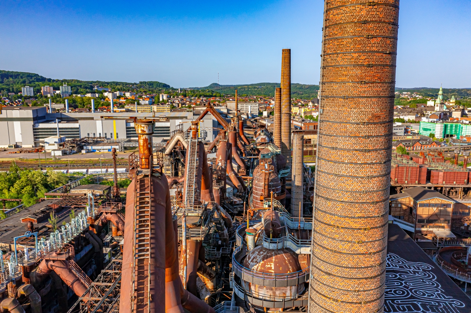
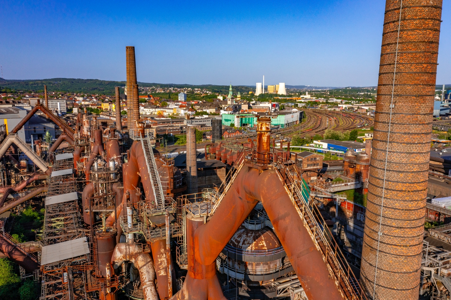
Rust-brown scaffolding, pipes and high technical installations make the Völklingen Ironworks visible even from a greater distance. The aerial photos give the branched ensemble a legible order. Up close, a single line is dominant; from above, its path through several parts of the system is noticeable.
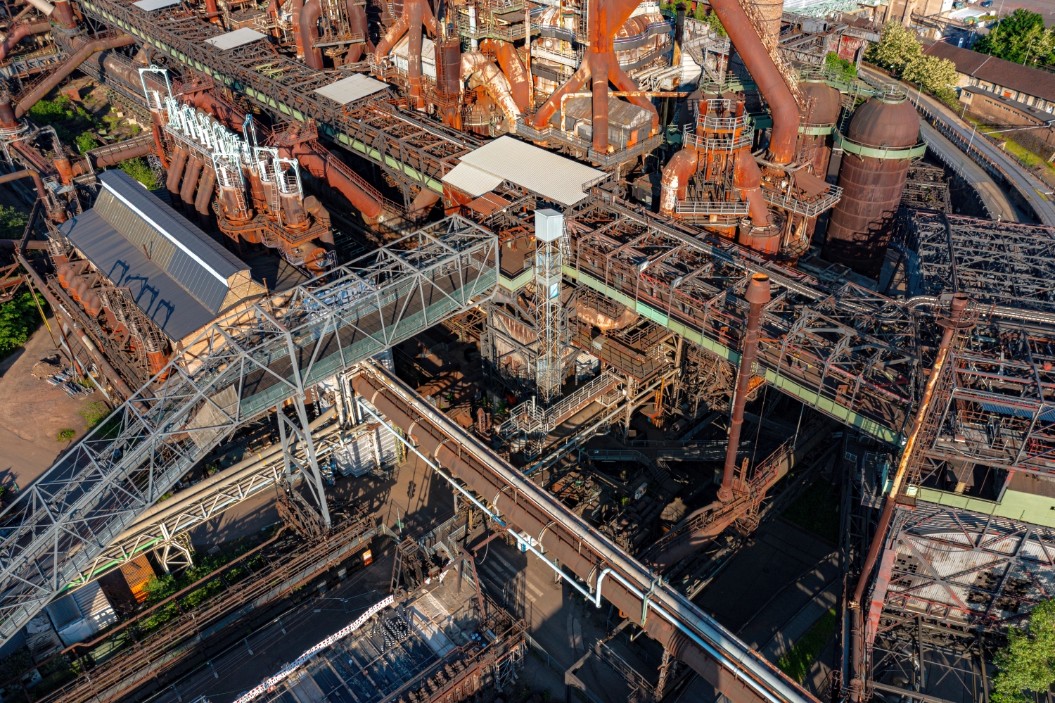
Follow the lines of the ironworks
The irregular horizon of the Völklingen Ironworks is created by many individual technical forms. In an overview, they visually intertwine. A narrow section can show where scaffolding exposes the background and how many levels the ironworks extends over.
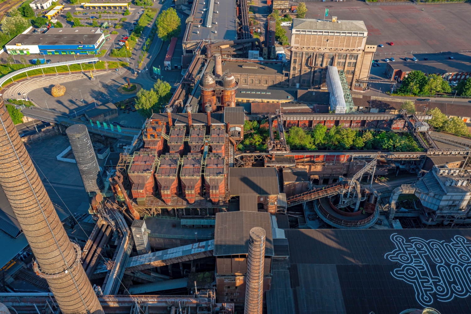
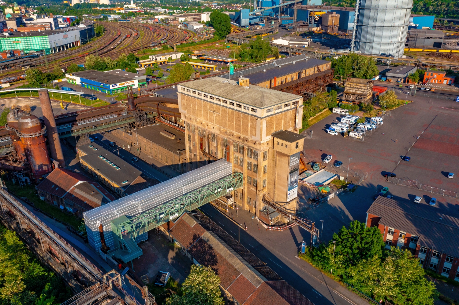
A technical site often has several striking shapes that appear separated from the ground by fences or neighboring buildings. The elevated perspective shows their arrangement relative to each other. Interruptions, connecting routes and free operating areas are just as informative as the largest buildings. A carefully chosen section shows where a system begins and how it connects to its surroundings. The exact function of individual lines or system parts should only be stated if it can be reliably assigned based on additional information.
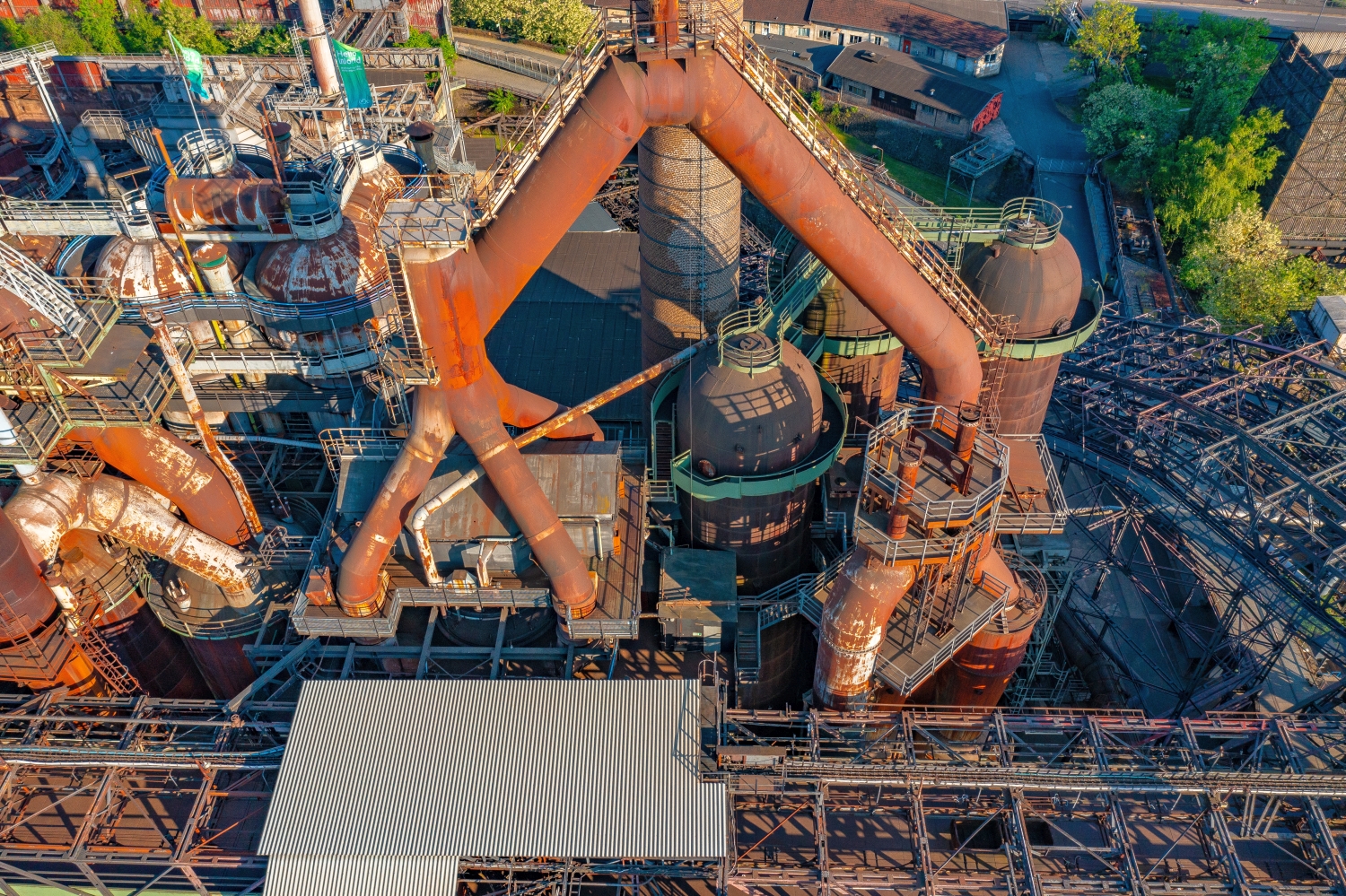
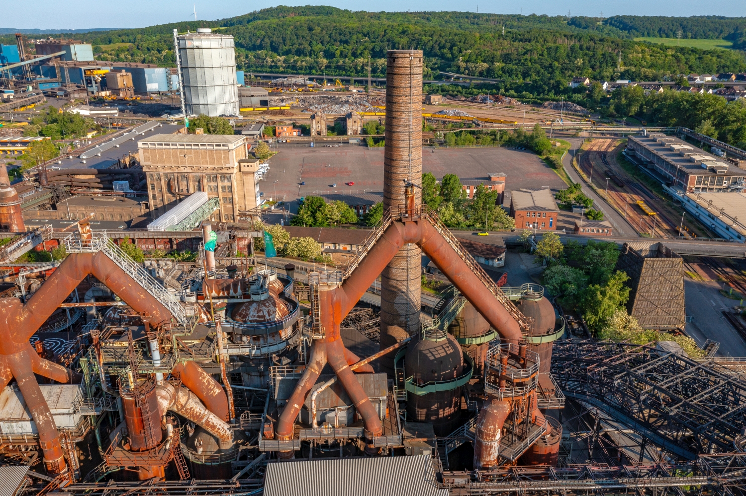
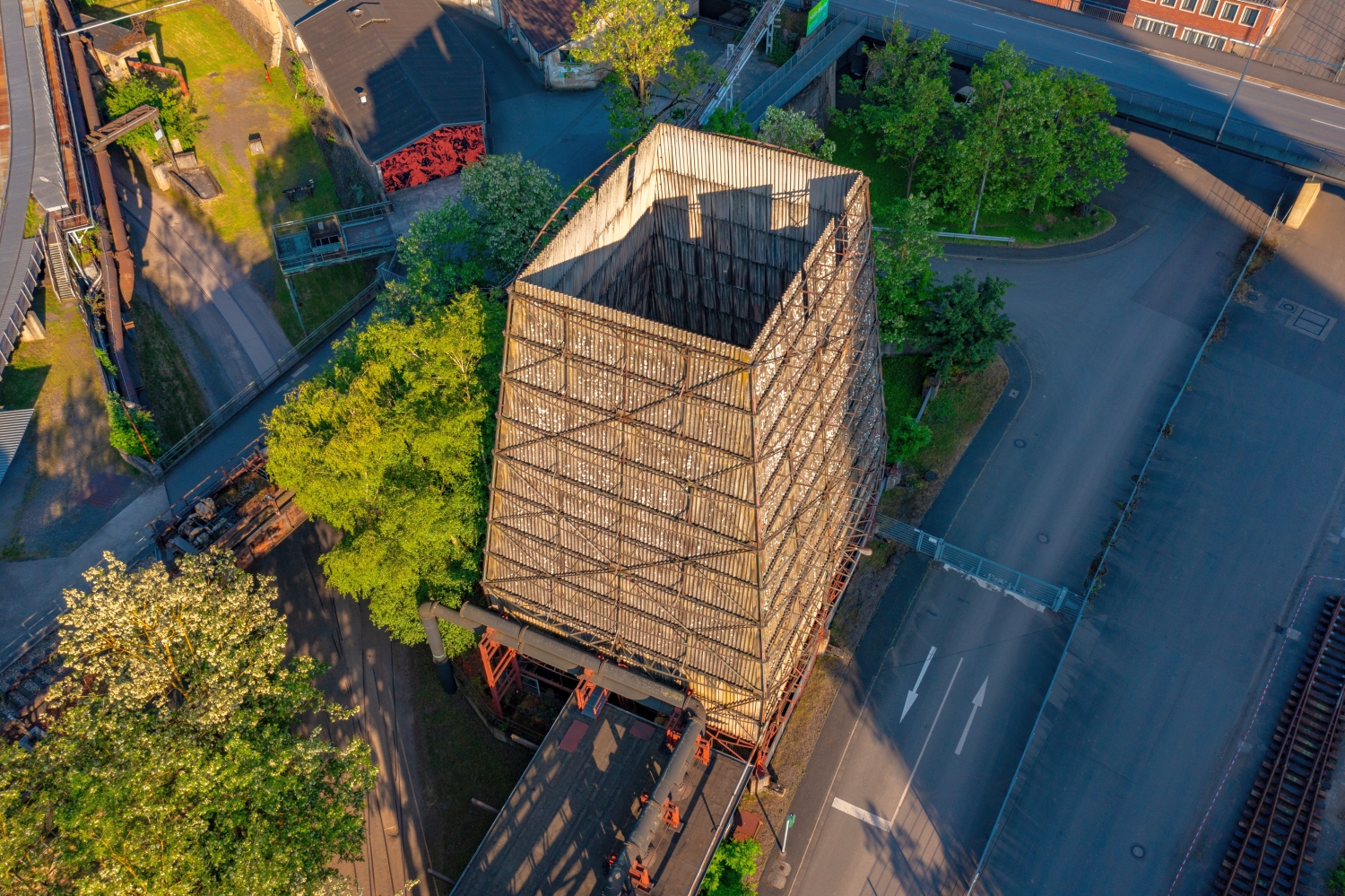
How a tower dictates the direction of view
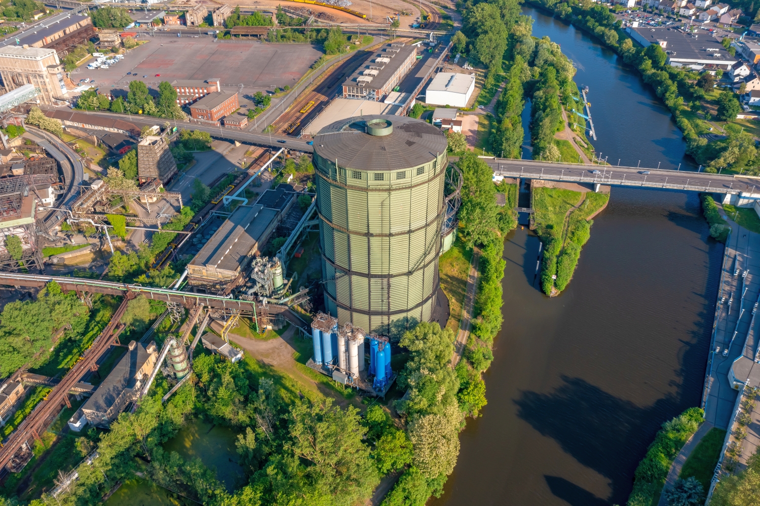
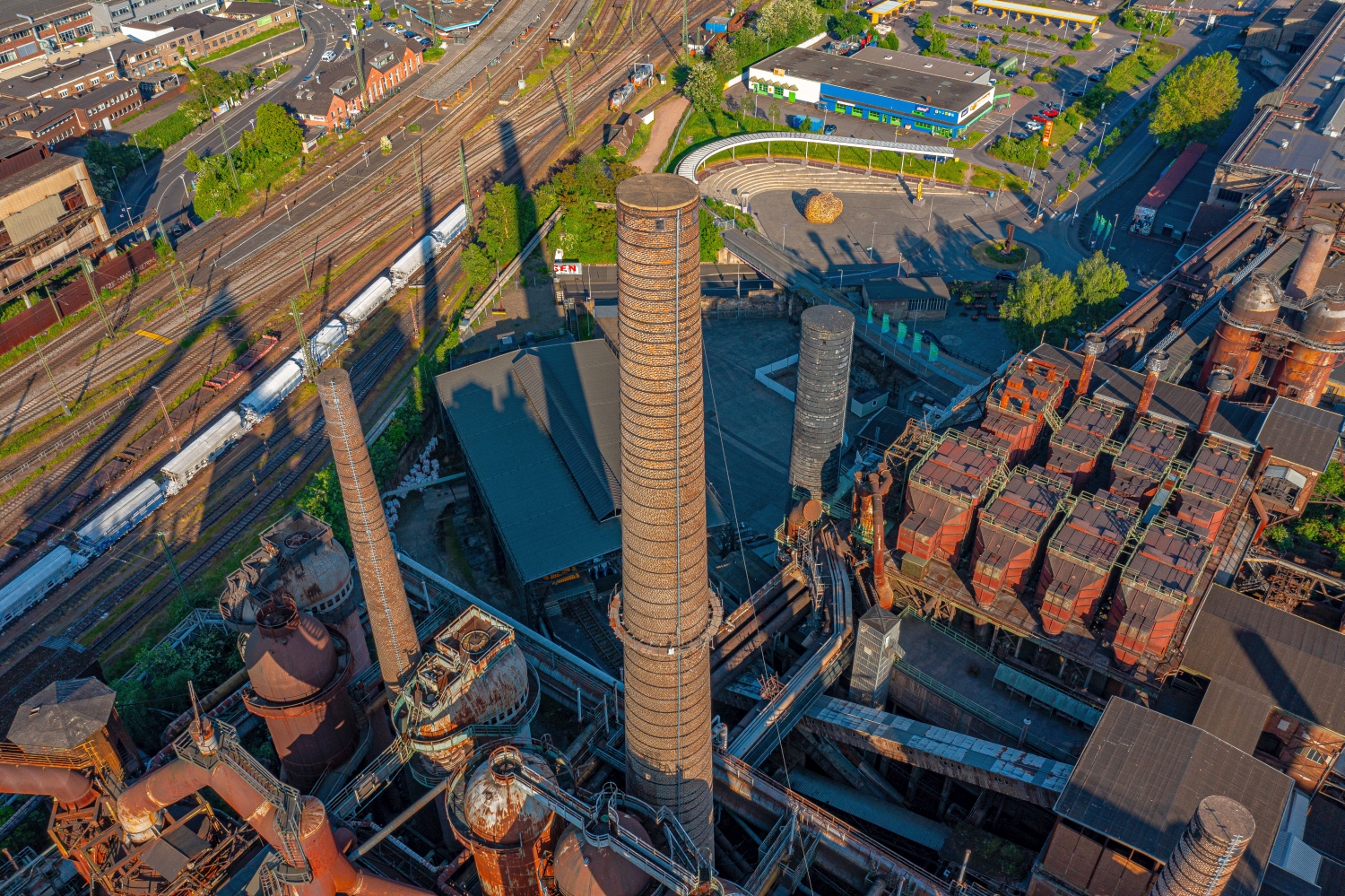
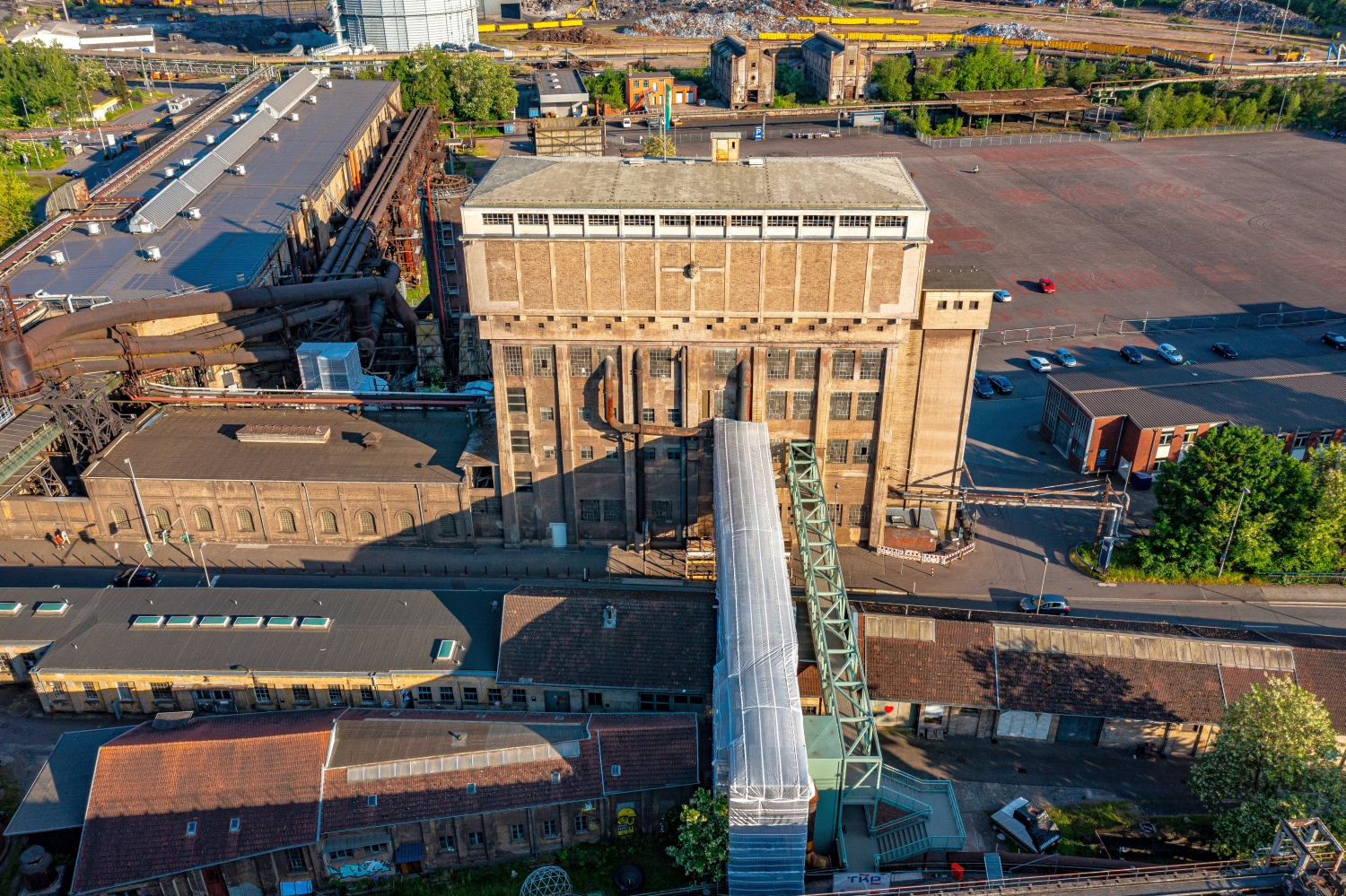
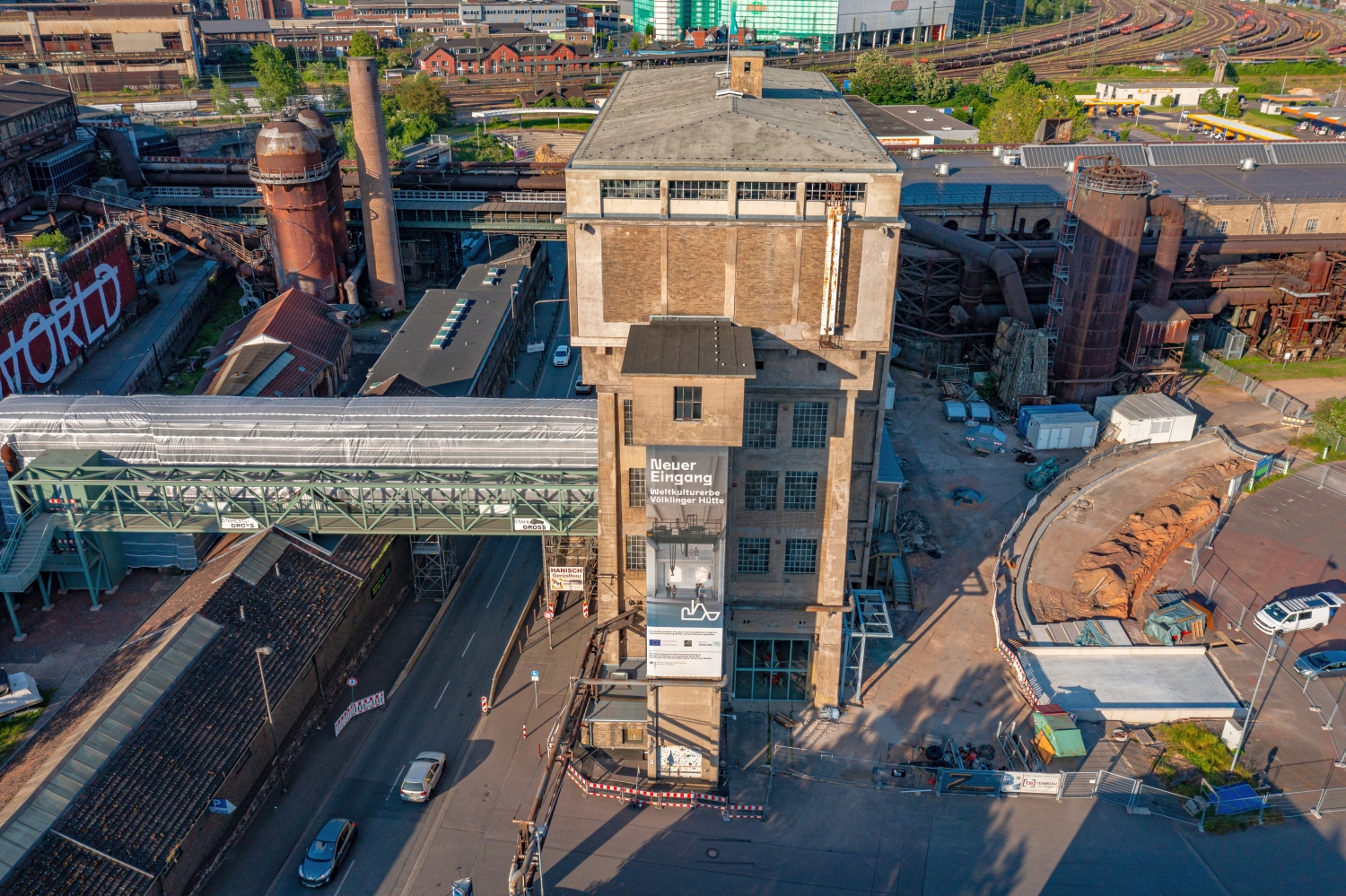
Up close, a tower draws the eye upwards. In the aerial photograph this movement is reversed. From the top, the eye follows the sides down to the ground and finds paths, neighboring buildings or vegetation for size comparison. A steep perspective shortens the visible shaft. When viewed from the side, it stands out from its surroundings. When selecting a representative image, it is therefore crucial whether the shape of the tower or its location in the terrain should be shown.
Follow a line through the area
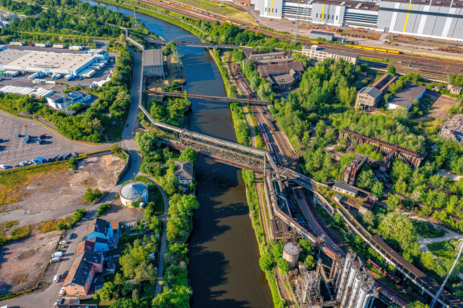
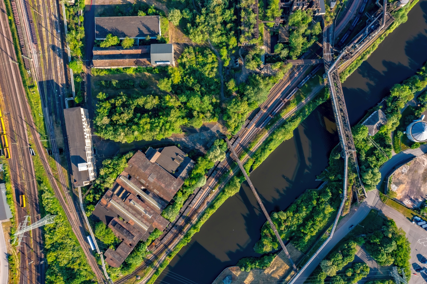
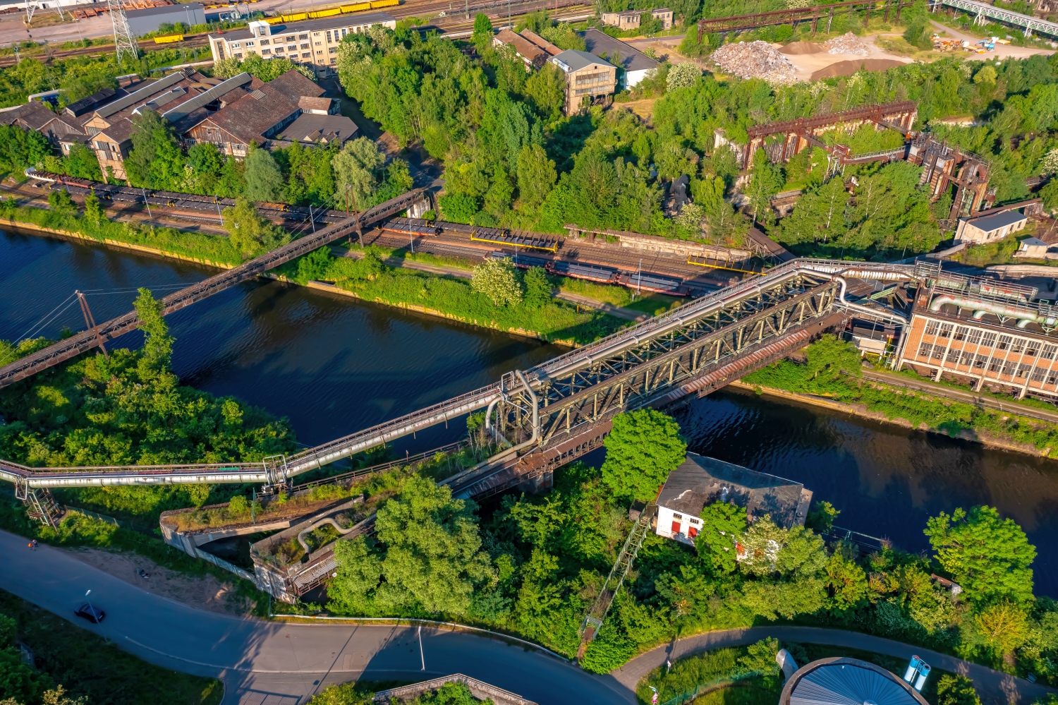
A traffic route gives direction to an aerial view. From above you can see where the route is, where it adapts to the terrain and where another path crosses it. An easily recognizable crossing is particularly useful for an illustration. It arranges the section in the larger network and brings together different proportions. A second look along the route can then show how the line from the first image continues into the adjacent landscape.
The distribution of blue tones
Among the 40 photos in the gallery, shot 27 and shot 23 provide a good starting point for the comparison. In the first excerpt, shades of blue play a smaller role. In the second shot, blue areas take up more space. Blue can extend over a large contiguous area or only appear in individual parts. What also counts for the effect is whether these areas extend to the edge of the picture or surround the main subject.
The camera captured May 26, 2023 for shot 1 and shot 40. The time interval between these two views is approximately 22 minutes. The exposure time was 1/320 second for the first of the images mentioned and 1/500 second for the second.
For a selection of moving images, the gallery contains 6 linked clips. Among them is “Völklingen Ironworks World Heritage Site from the air”. Under Aerial Videos the preview leads to the aerial photographer's respective offer at Adobe Stock.
An image for spatial documentation
In the case of a technical system, the direction of view determines which relationships can be explained. The course is clear along a traffic axis, and across it often the connection to the neighborhood. Both questions are valid for a project portrait. The aerial photographer can treat them in separate views. When publishing later, it will help to organize the selection according to these questions. Two visually different images can otherwise repeat the same information, while an entrance, a crossing or the connection to a neighboring property remains incomprehensible.
Related motifs in the aerial photo archive
Two further articles invite comparison. In the first, Antiga central tèrmica de Cercs – Barcelona, a different detail is in the foreground. The Antiga central tèrmica de Cercs stands in a landscape surrounded by steep rock faces. After that, Merseburg is a good option. The series from Merseburg combines large commercial buildings with residential areas and open water areas.