 F4LUFTBILDER
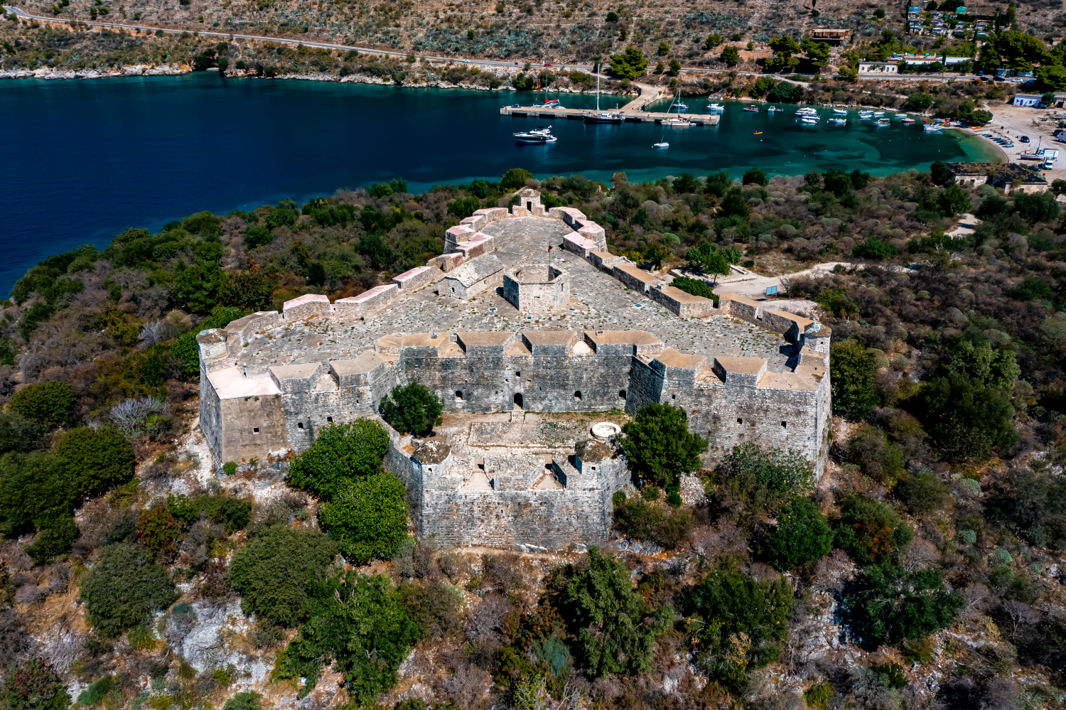
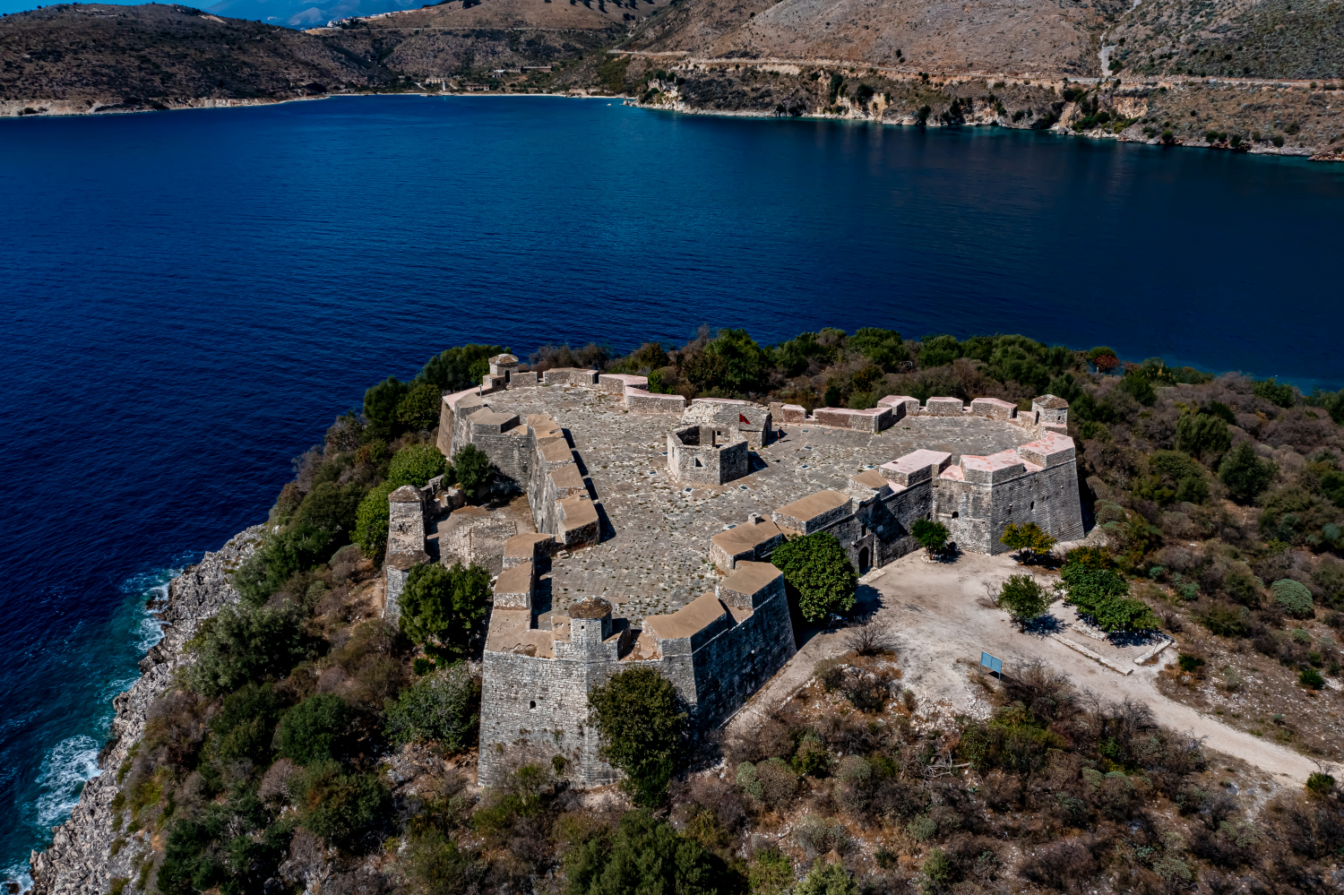
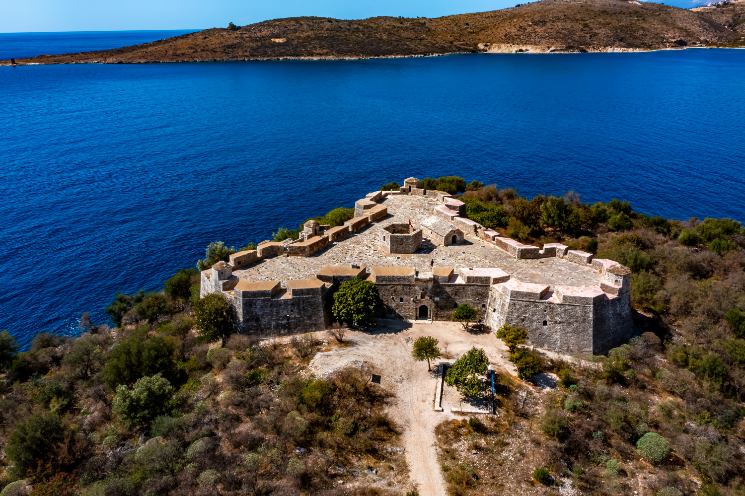
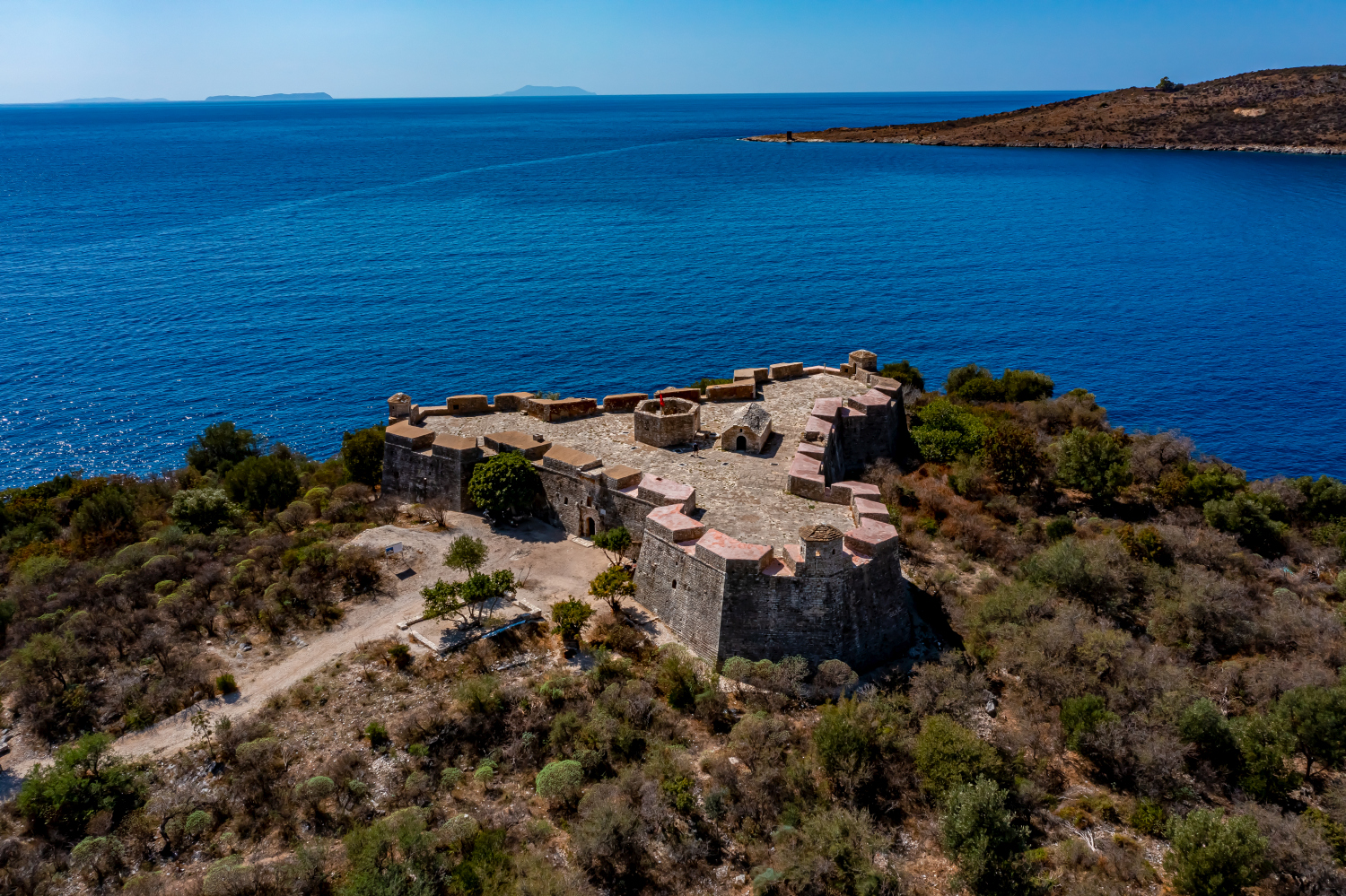
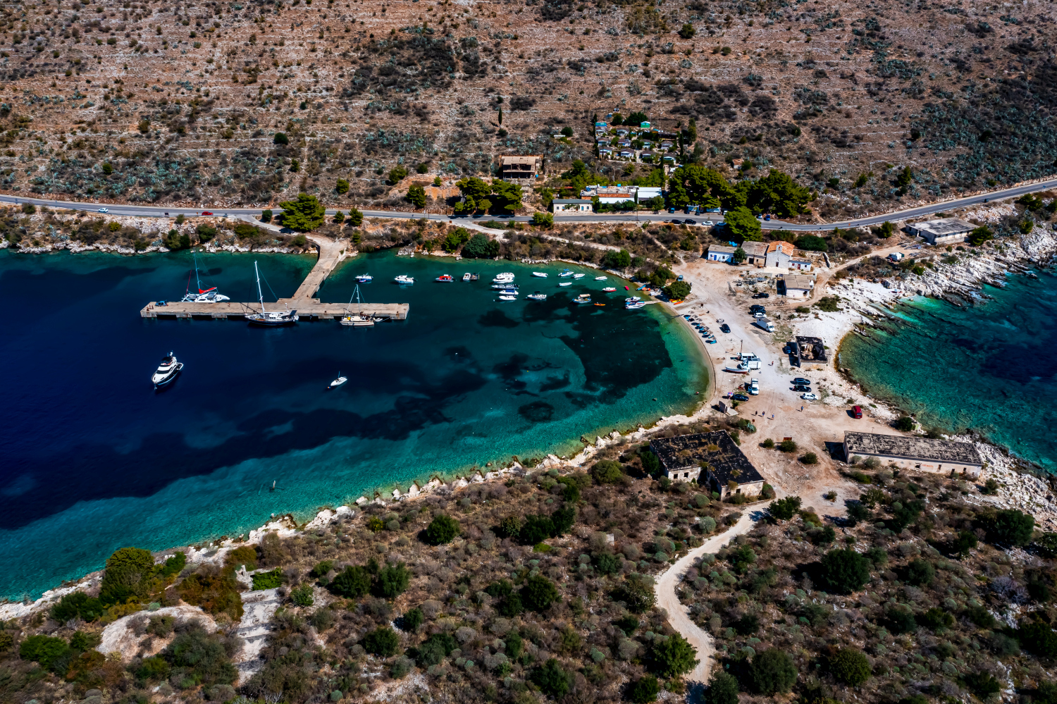
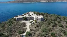
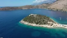
The Ali Pasha Fortress on the waterfront
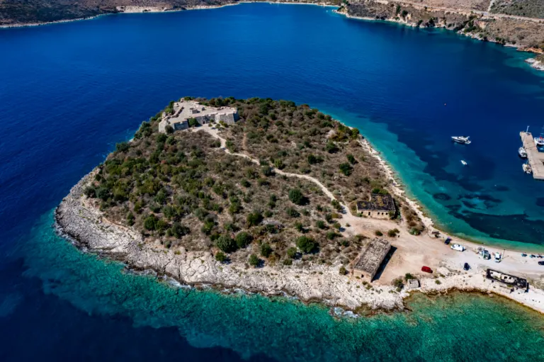
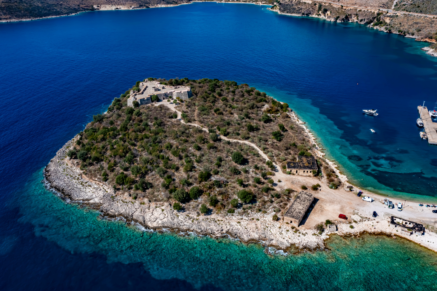
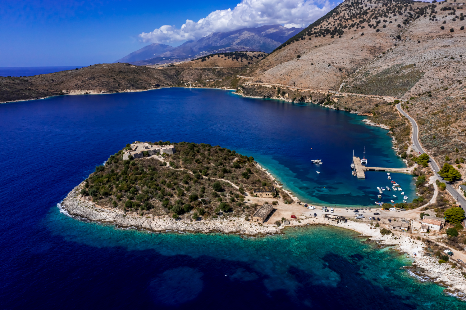
The dark surface of water traces the contour of the Ali Pasha Fortress in Albania. The walls adjoin a narrow, green area of land. From above, the different directions of the shoreline and fortifications become particularly clear.
The location of the fortress on the coast
At the Ali Pasha Fortress, access from the water is part of the spatial history. The outline of the walls cannot be fully read until some of the shore is visible around them.
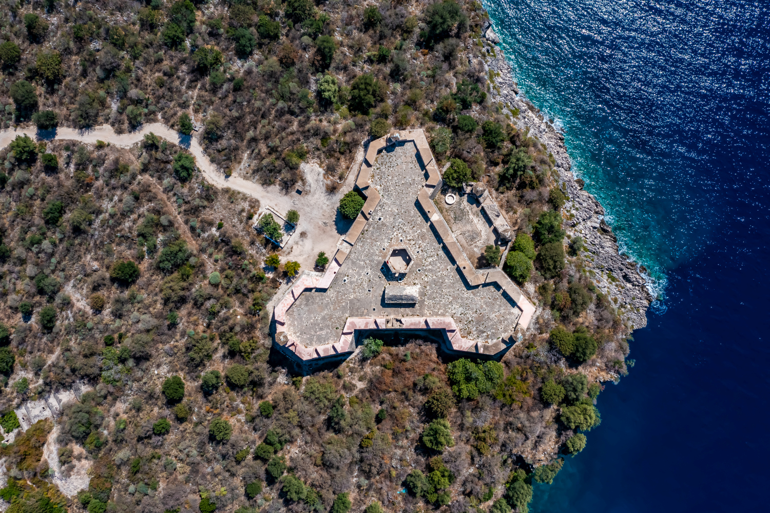
The system can be told from two distances. The overview first clarifies how much space the building takes up on its hill or on the bank. The view then turns to a characteristic corner, the transition between two wings or the opening to a courtyard. This order is clear for an editorial article because readers can find the detailed section on the overview image. This is particularly helpful when multiple towers or wall edges obscure each other in a single view.
The coastline as orientation
From land the first thing you notice is the open water. In an aerial view, the process can be reversed and the coast can be seen from the sea. Wherever it changes direction, small protected spaces are created. Other sections extend almost straight to the edge of the picture. When selecting a motif, it is worth comparing these transitions with each other. A single, striking rocky outcrop can identify a location more clearly than a much larger expanse of water with only light and waves visible.
Follow the course of the border
You can usually only see the next side of a wall on the ground. From the air, several changes of direction are visible at the same time. The transition from a straight stretch to a corner or goal area is particularly revealing. It gives the image a tangible reference point. If you want to show the outer contour, leave some space in front of and behind the border in addition to the wall. This makes it clear which areas belong together and where the view extends into the adjacent terrain.
The distribution of blue tones
To switch between two of the 8 aerial photos, shot 4 and shot 2 can be called up directly in the gallery. In the first excerpt, shades of blue play a smaller role. In the second shot, blue areas take up more space. Blue can extend over a large contiguous area or only appear in individual parts. What also counts for the effect is whether these areas extend to the edge of the picture or surround the main subject.
Shot 1 and Shot 8 are among the views from September 21, 2021. According to the camera's time information, there are approximately 6 minutes between the two images. The exposure time was 1/500 second for the first of the images mentioned and 1/640 second for the second.
The Aerial Videos section supplements the photos with 2 clips. The aerial photographer's photographs linked there include “Ali Pasha Fortress in Albania”. The relevant video page on Adobe Stock can be opened using the respective preview.
Communicate architecture and location together
Anyone who has visited a building themselves often remembers the entrance and the first view upwards. In the aerial photograph, these exact areas can disappear behind a roof or a wall. A suitable caption helps to connect the tour experienced with the spatial overview. For an aerial photographer, planned use is therefore a good starting point. A view for a site plan needs clear outer edges. An image for the cover page may focus more on the interaction between the building and its surroundings.
Related motifs in the aerial photo archive
Two additional views can be used in the archive for comparison. The first can be found under Big Bunker. At the Big Bunker in Albania, the opening in the slope can be seen from above. The second belongs to the article Akkerman Fortress. The walls of Akkerman separate an extensive fortress area from the water on one side and the buildings on the other.
Aerial photos of Ali Pasha Fortress – Albania
Your aerial photographer across Europe
Request a free quote