 F4LUFTBILDER


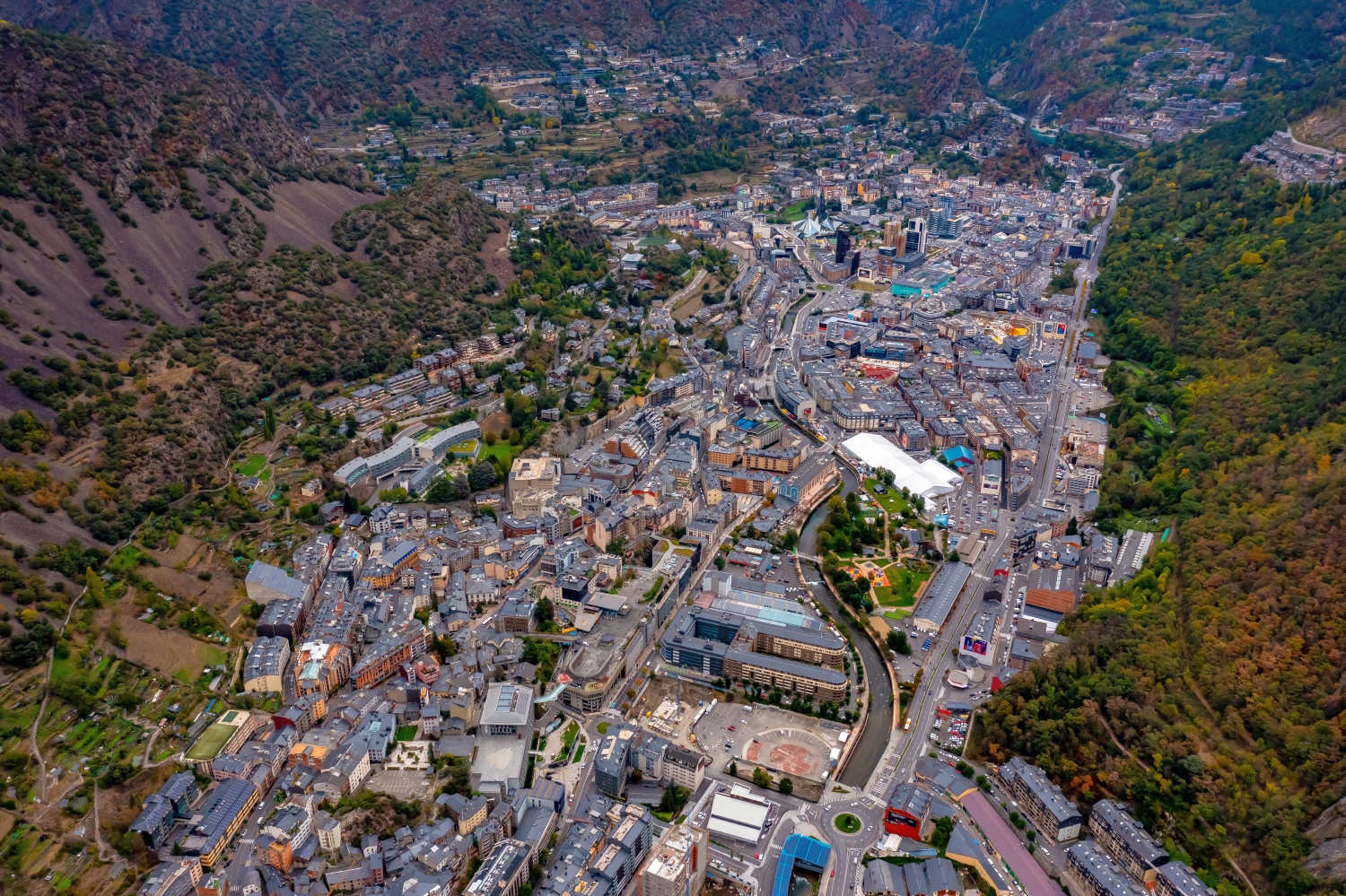
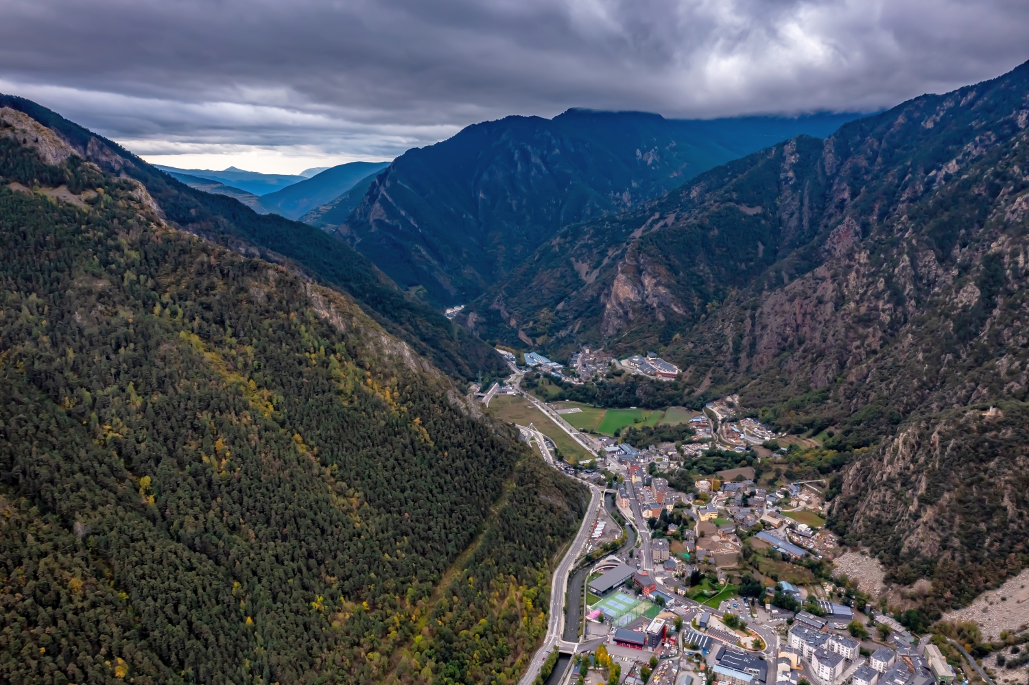
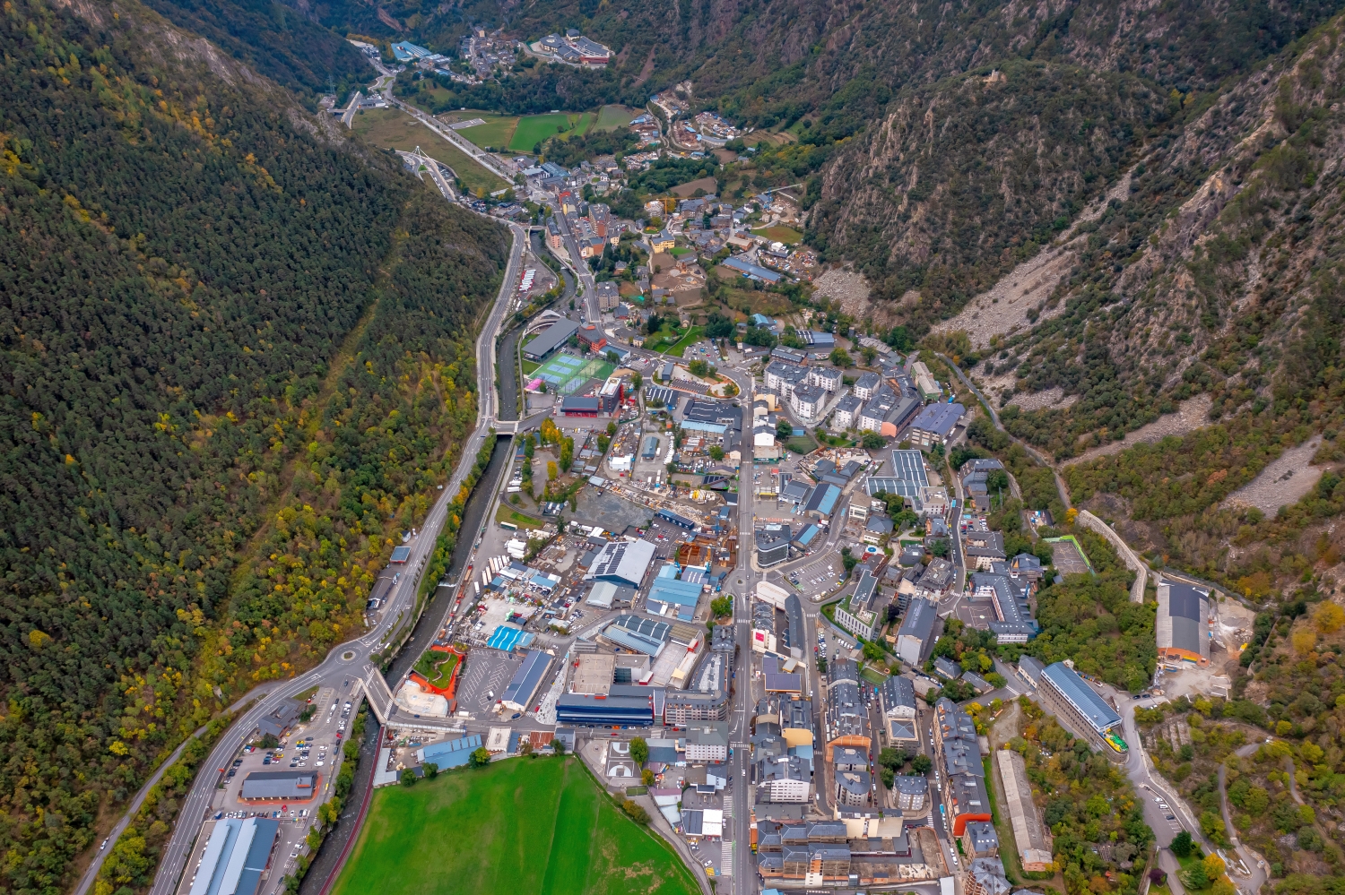
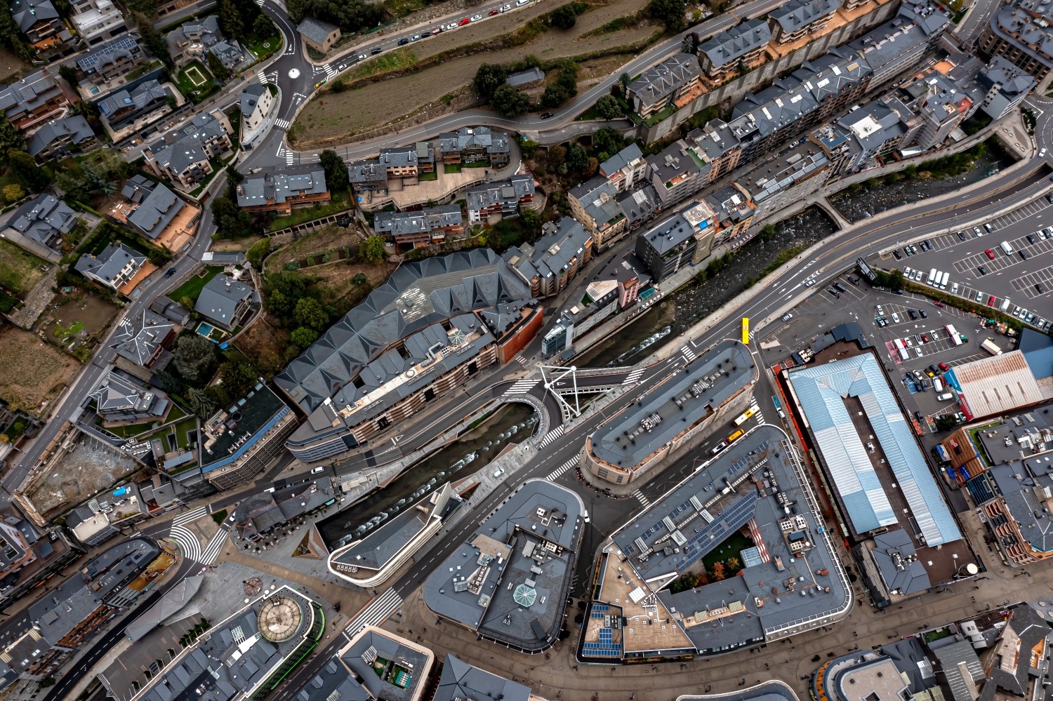
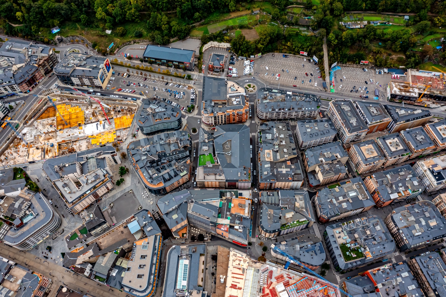
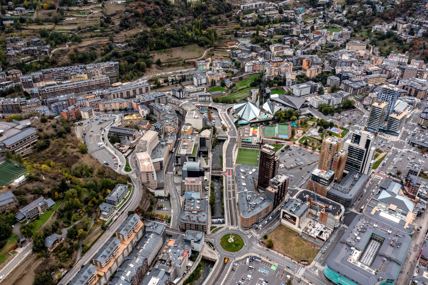
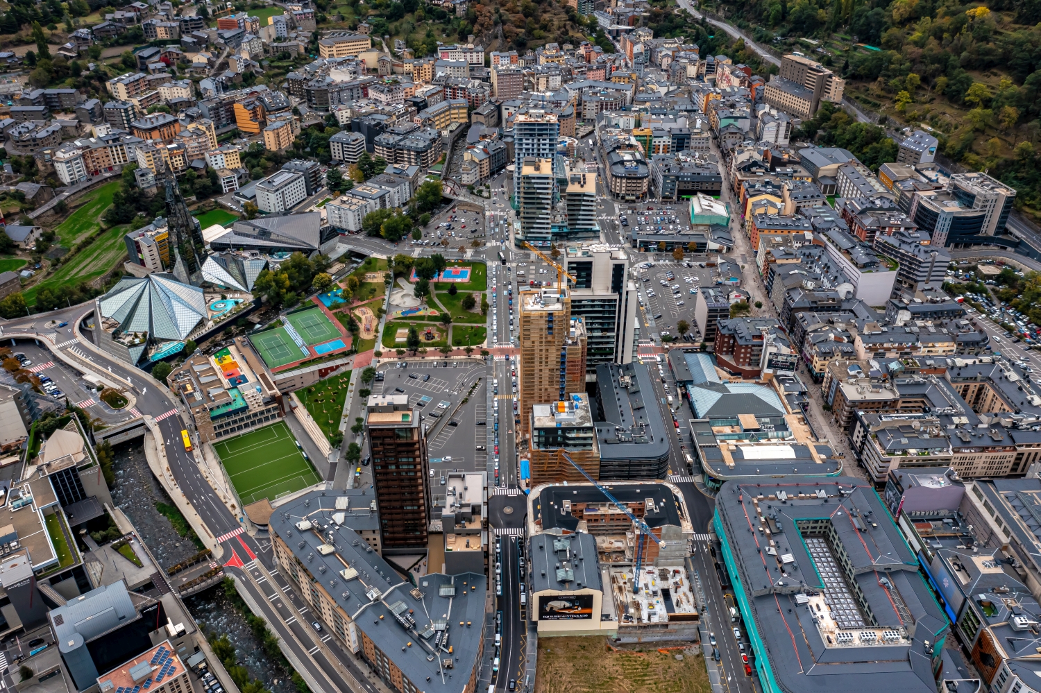

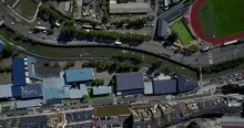
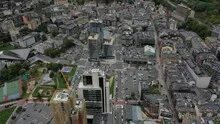
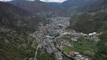

Andorra between mountain ridges
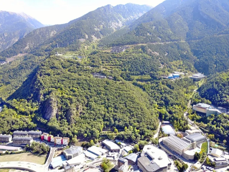
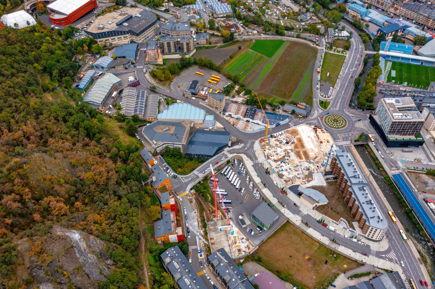
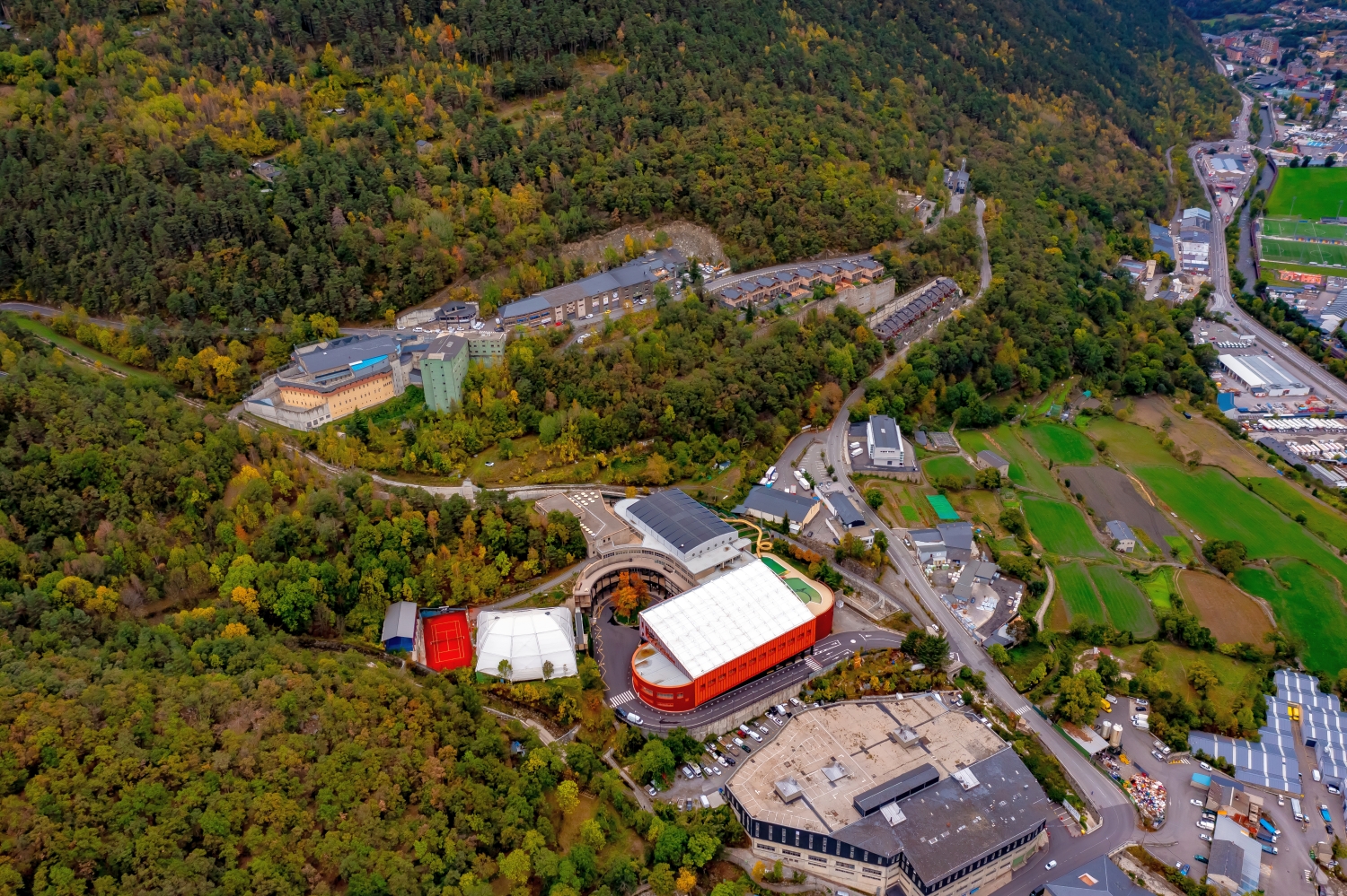
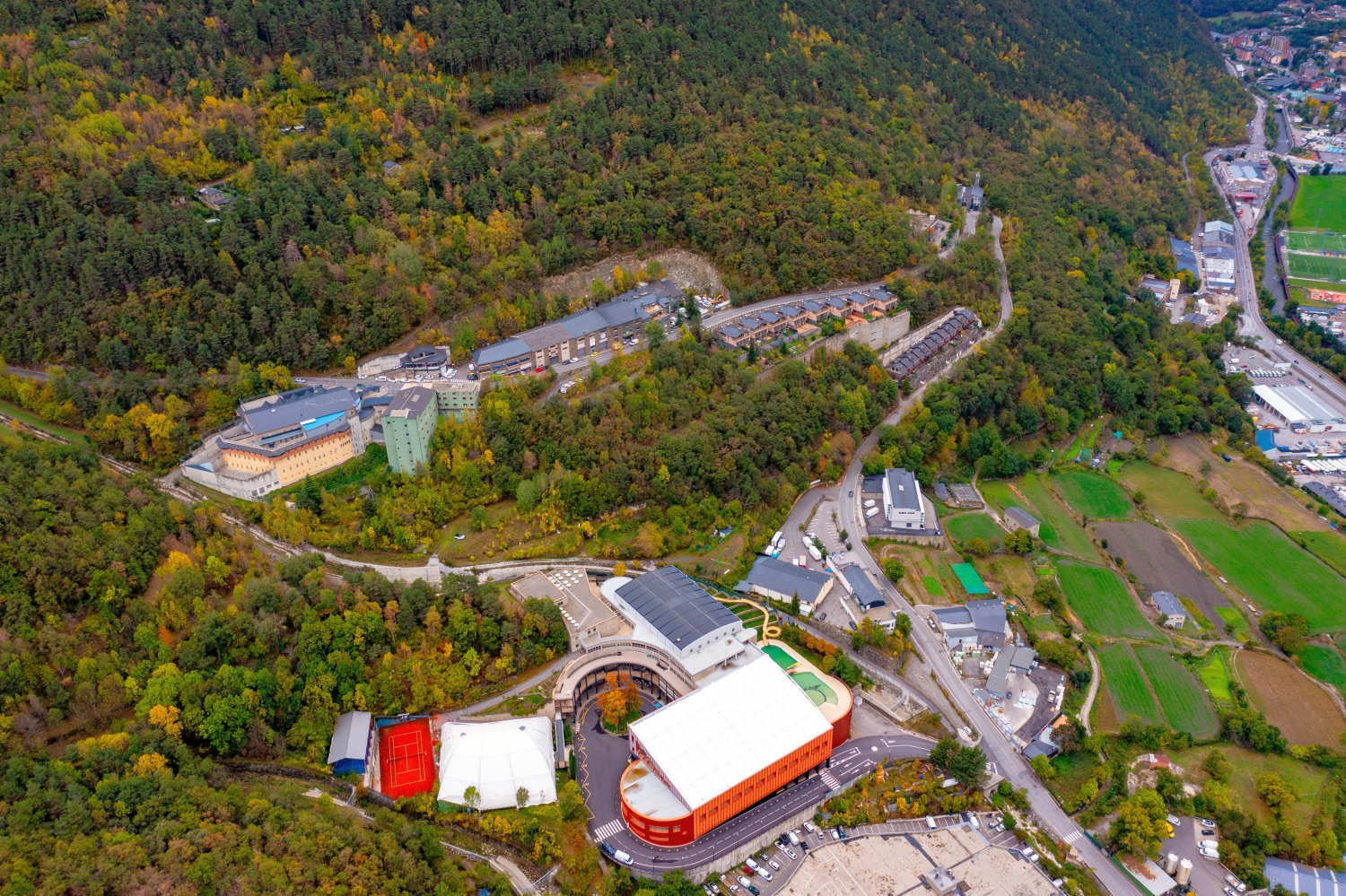
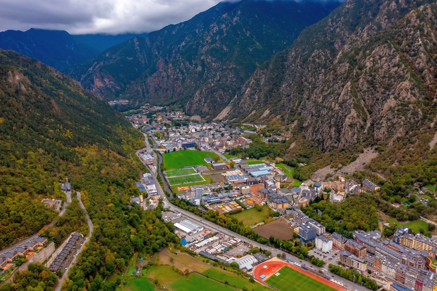
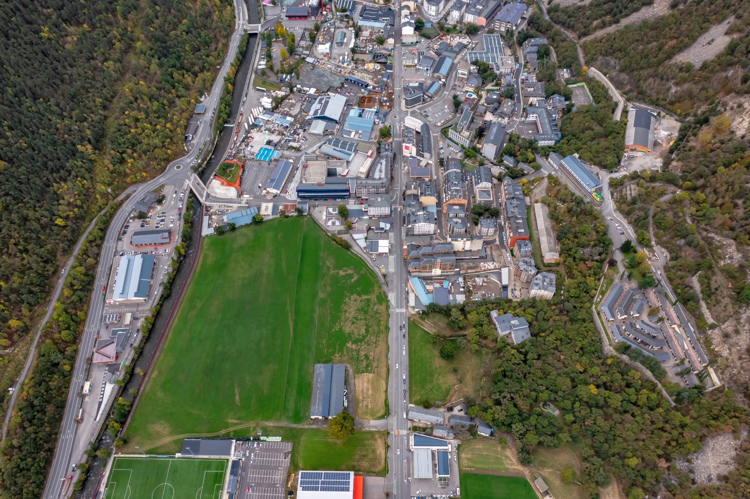
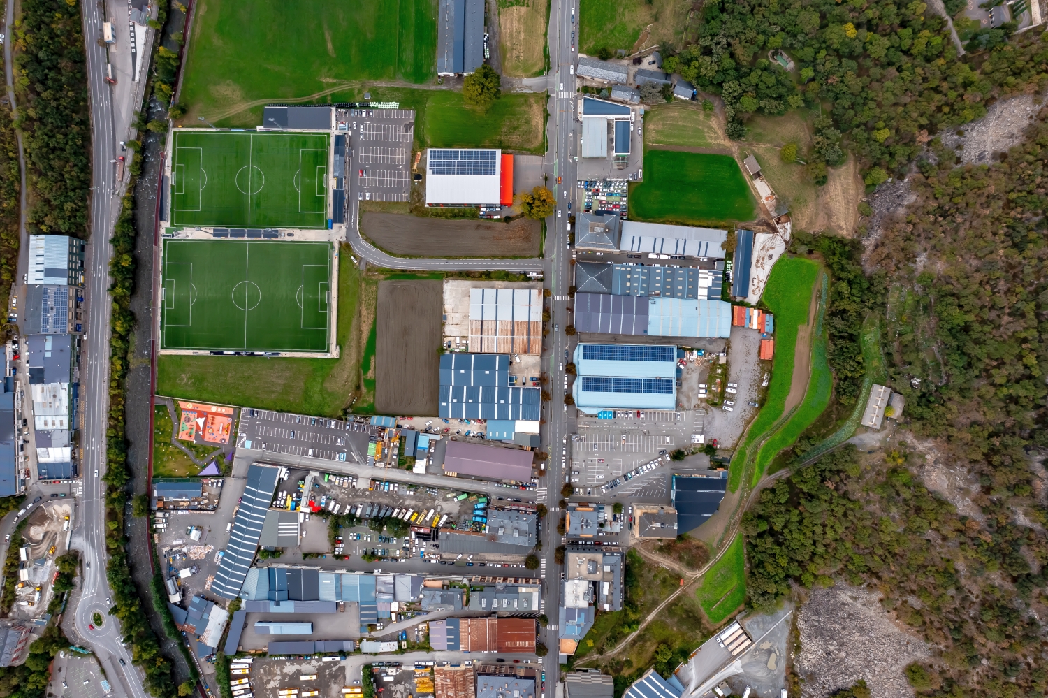
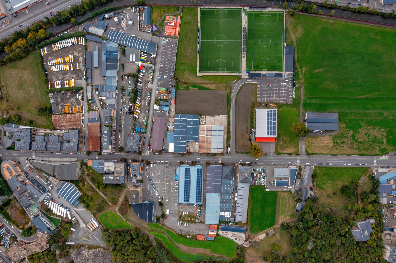
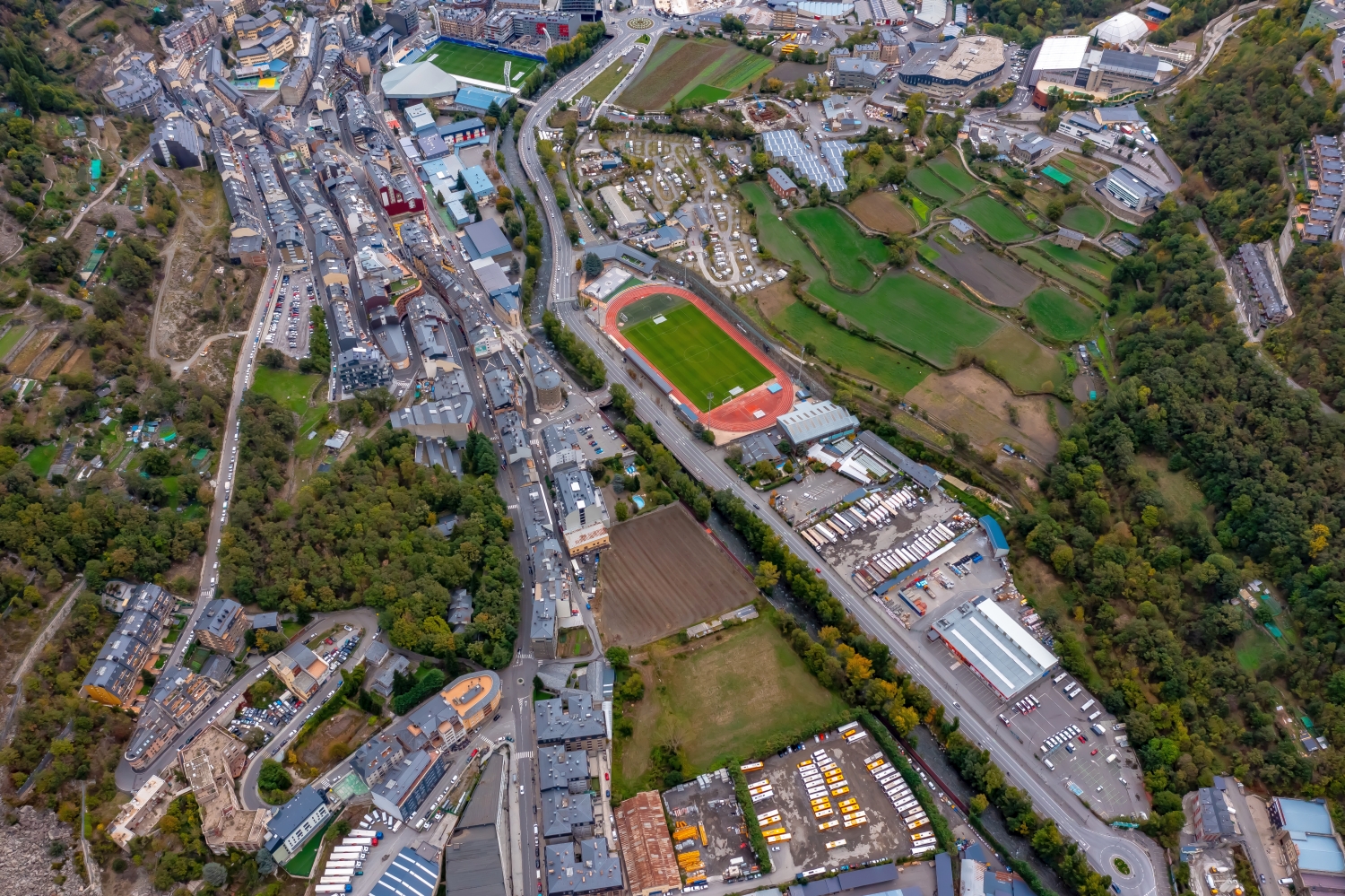
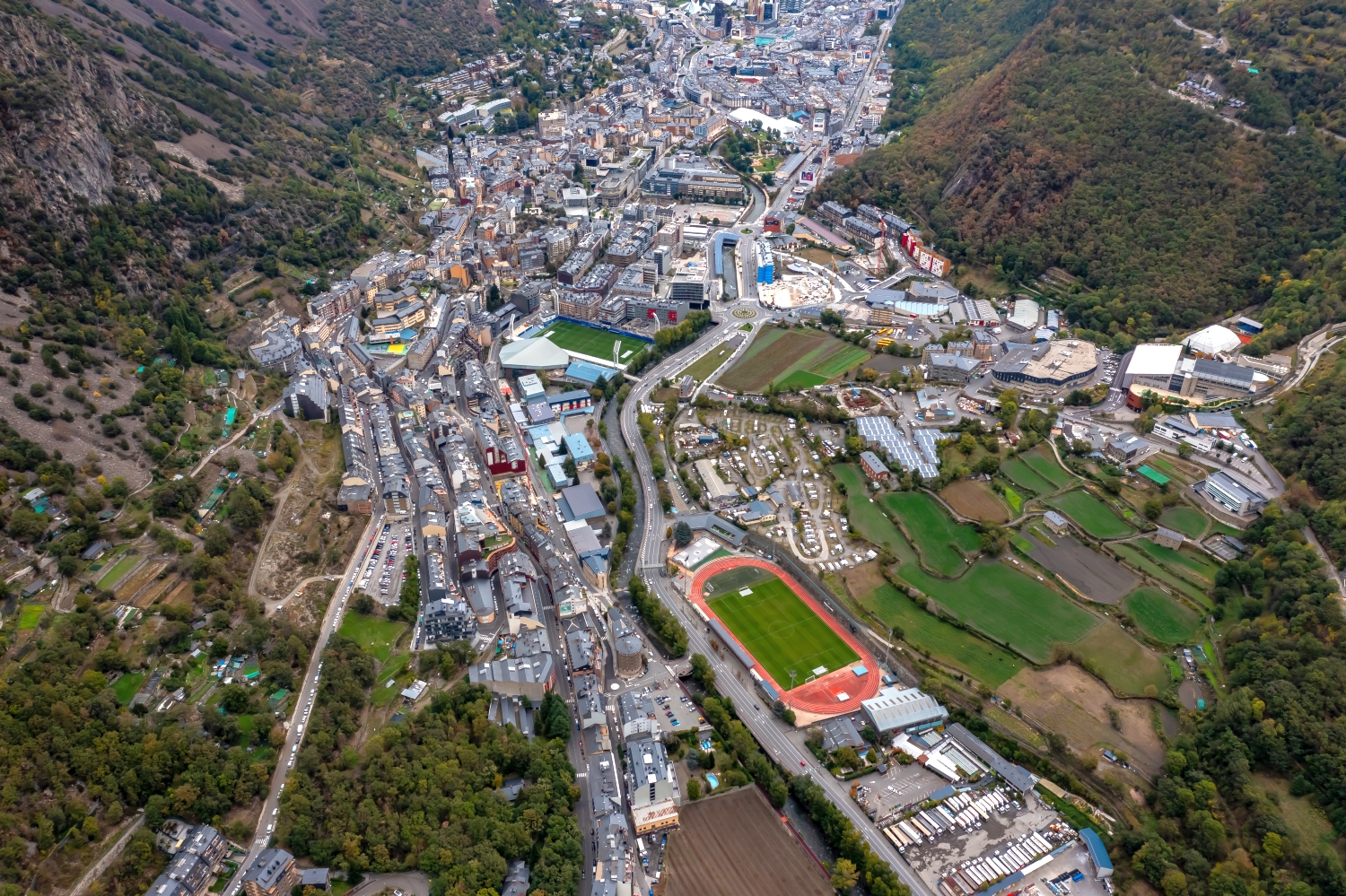
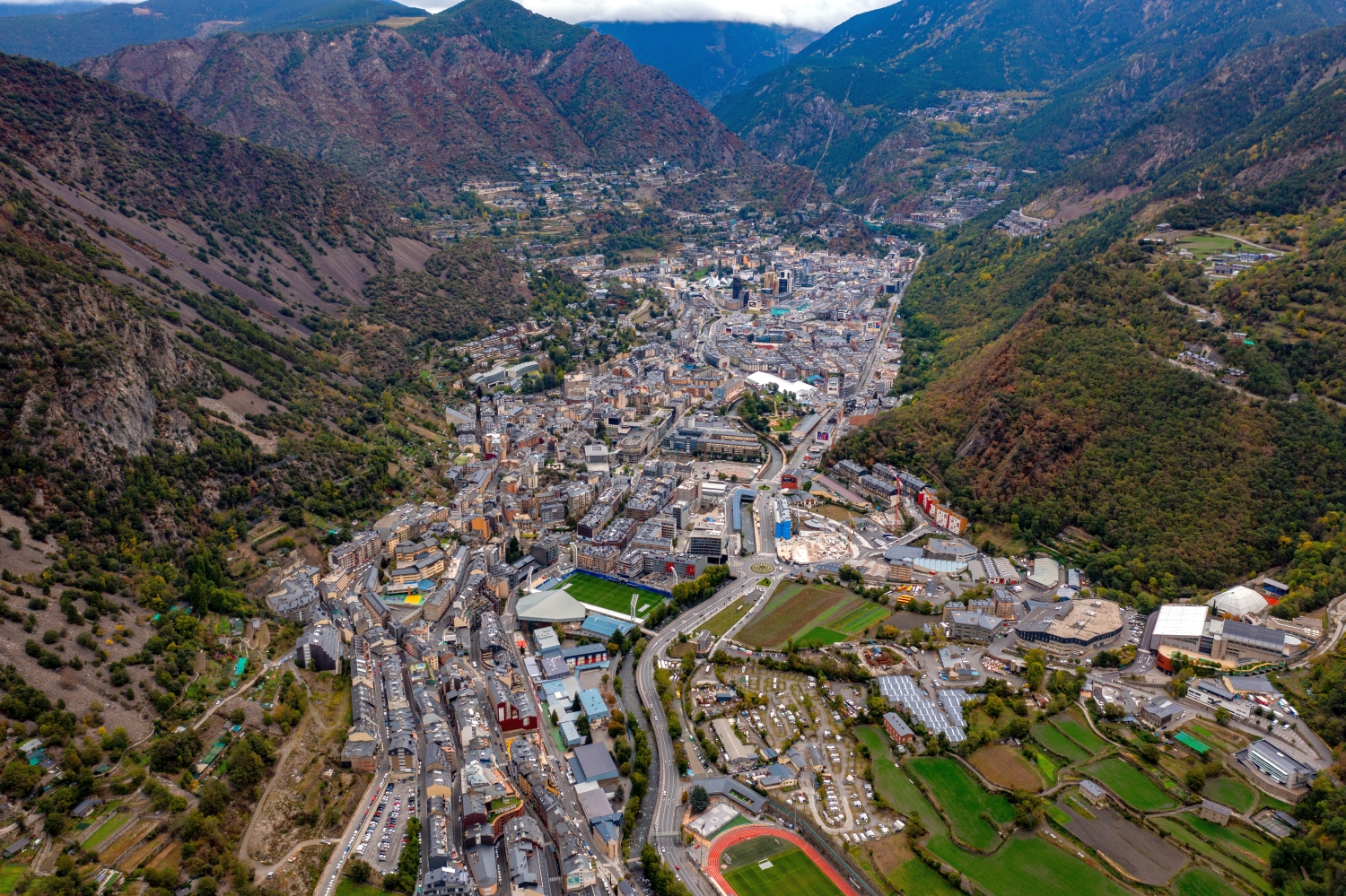
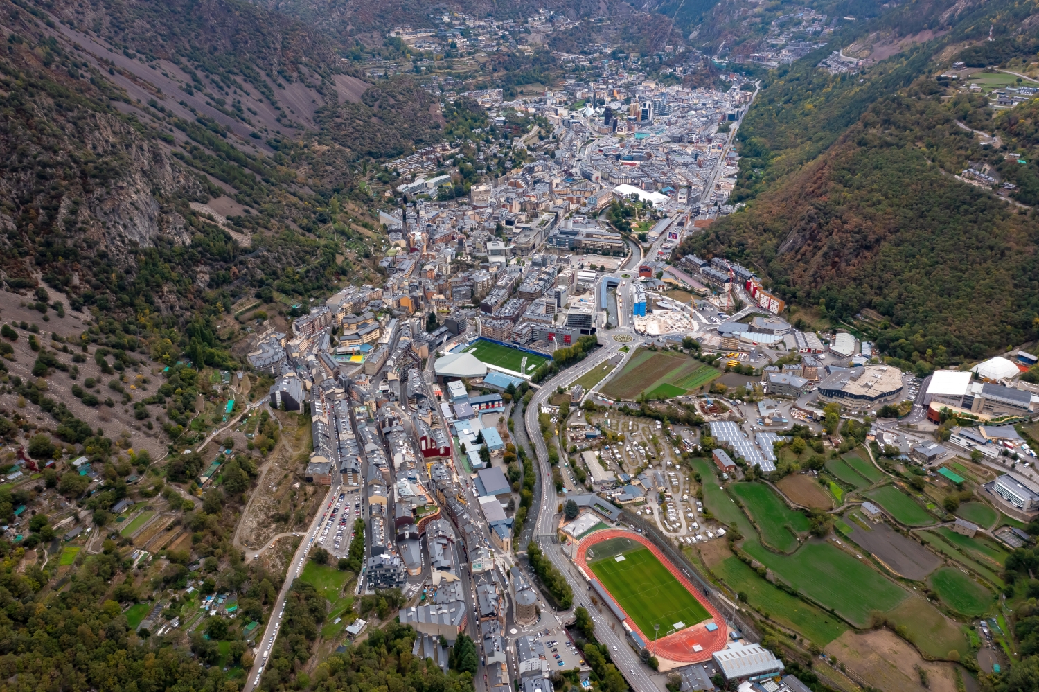
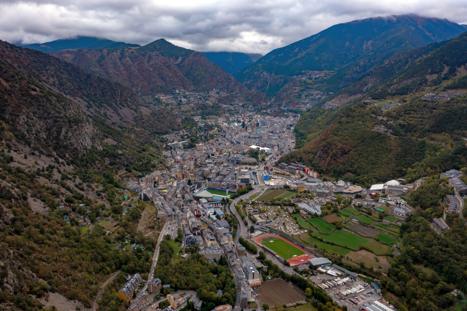
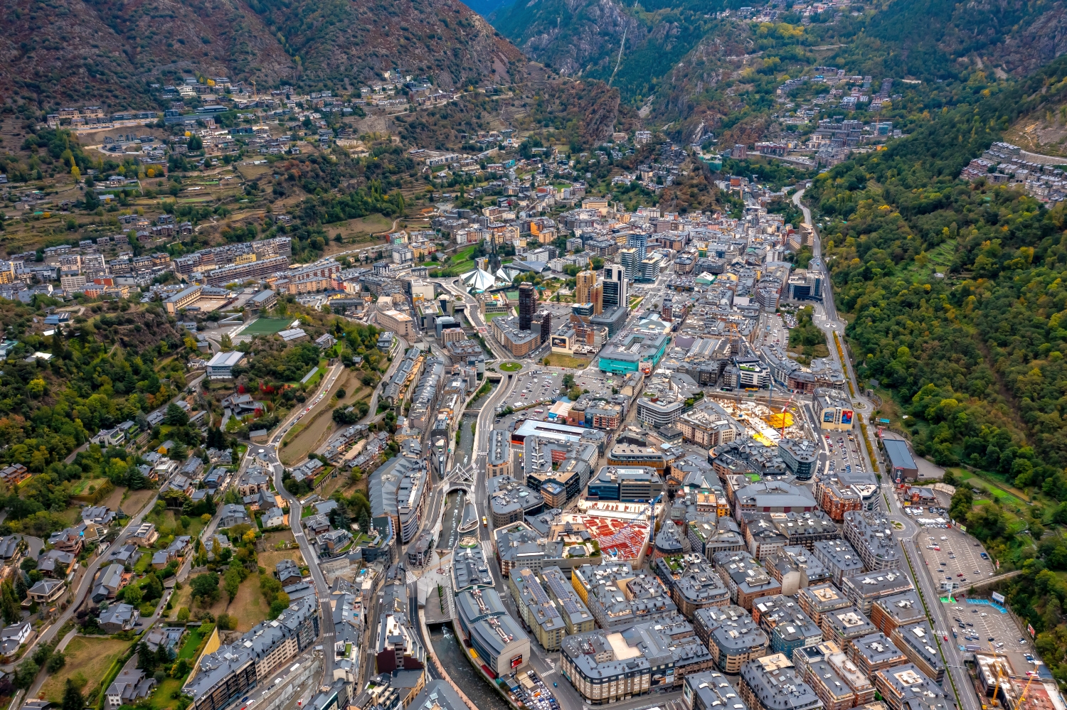
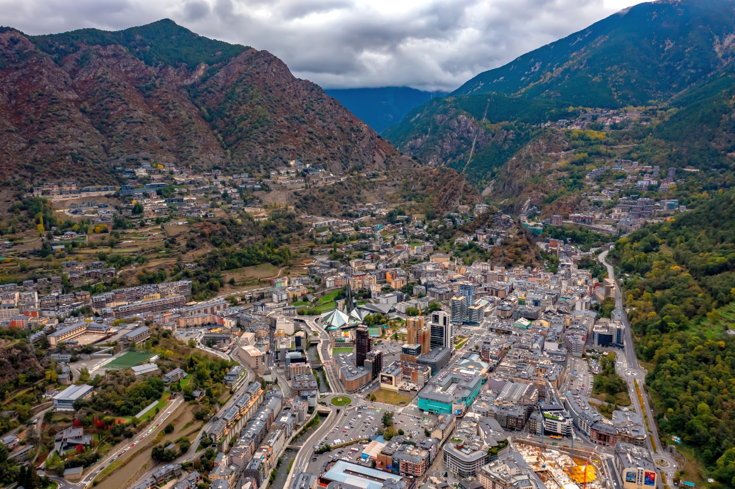
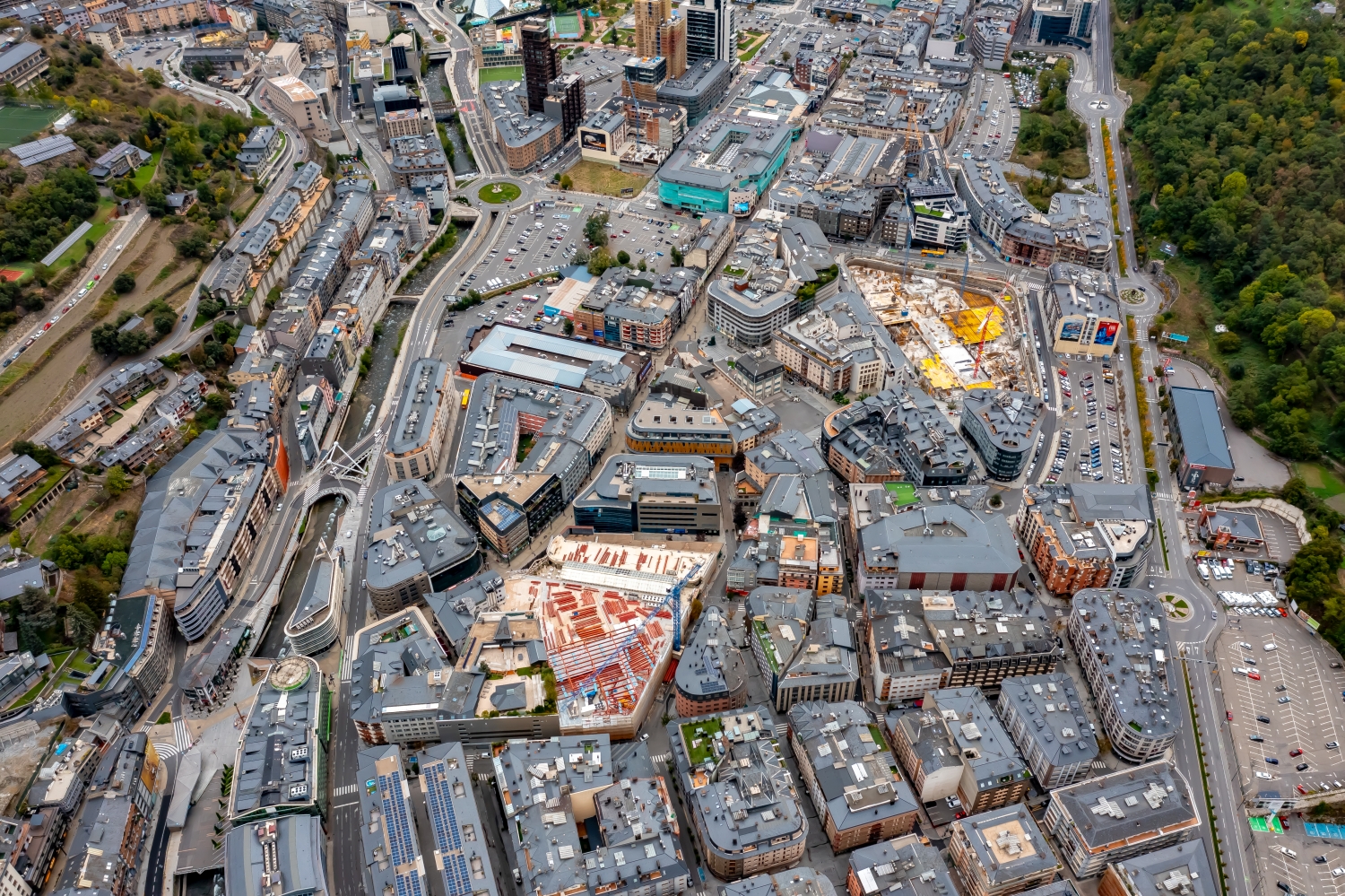
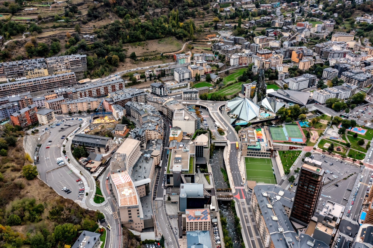
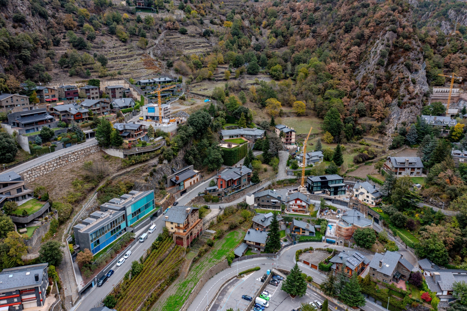
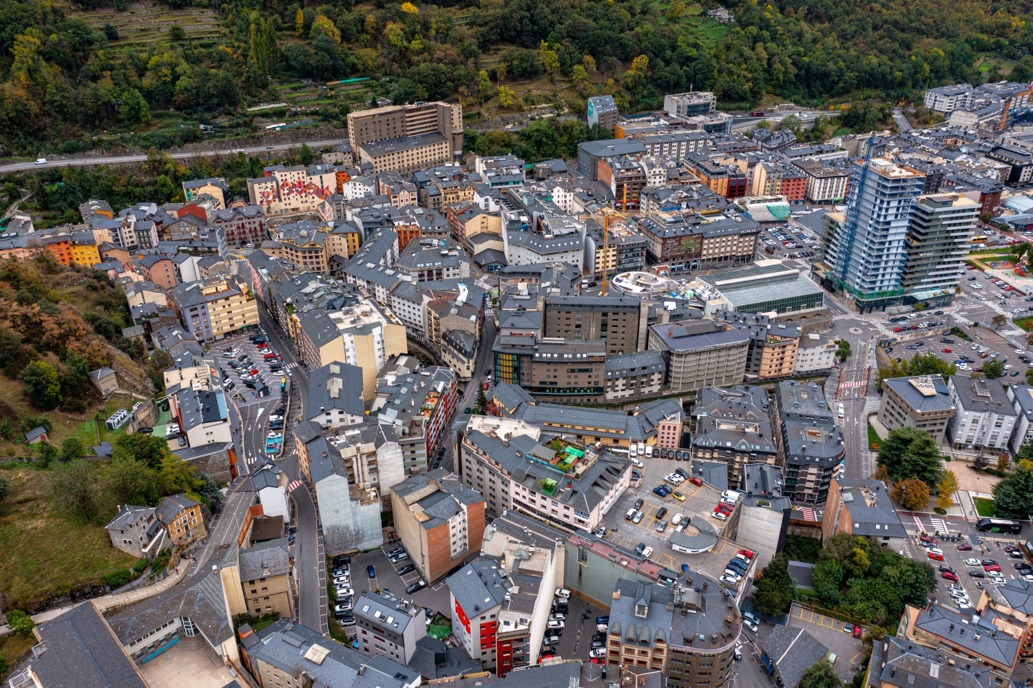
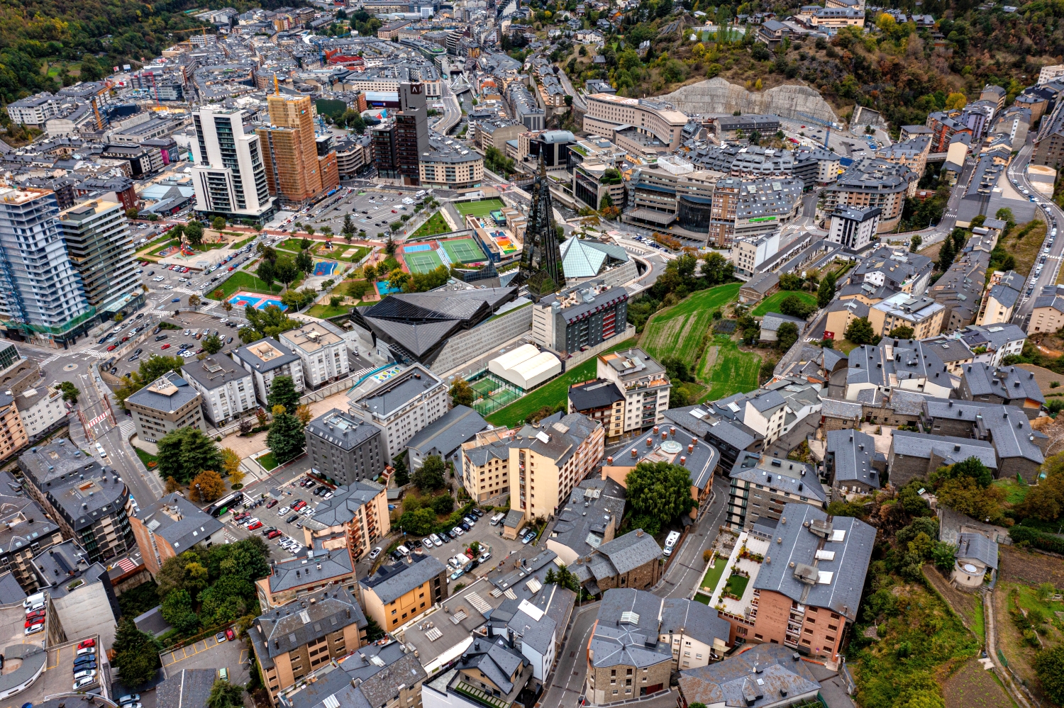
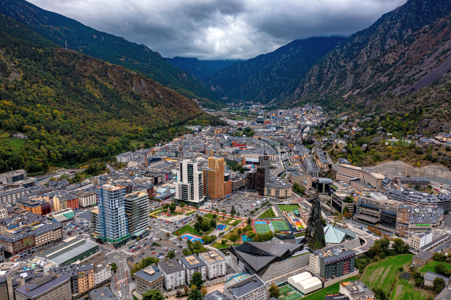
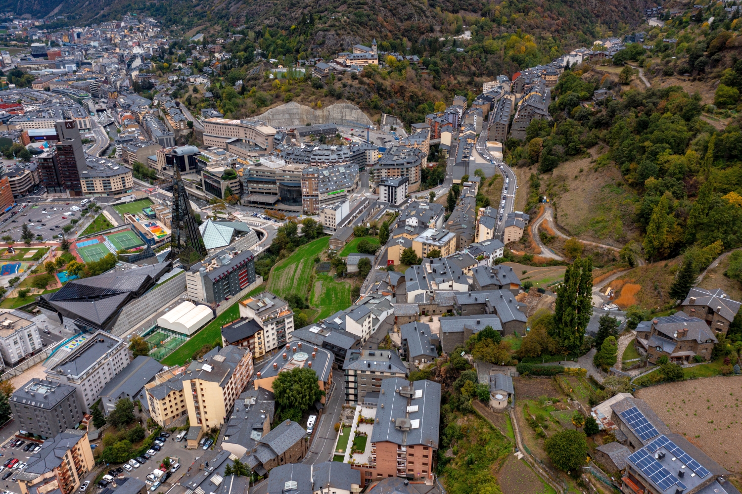
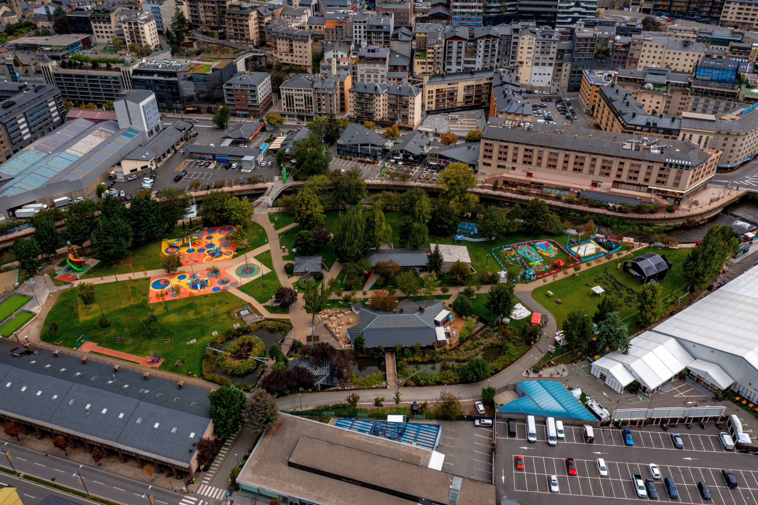
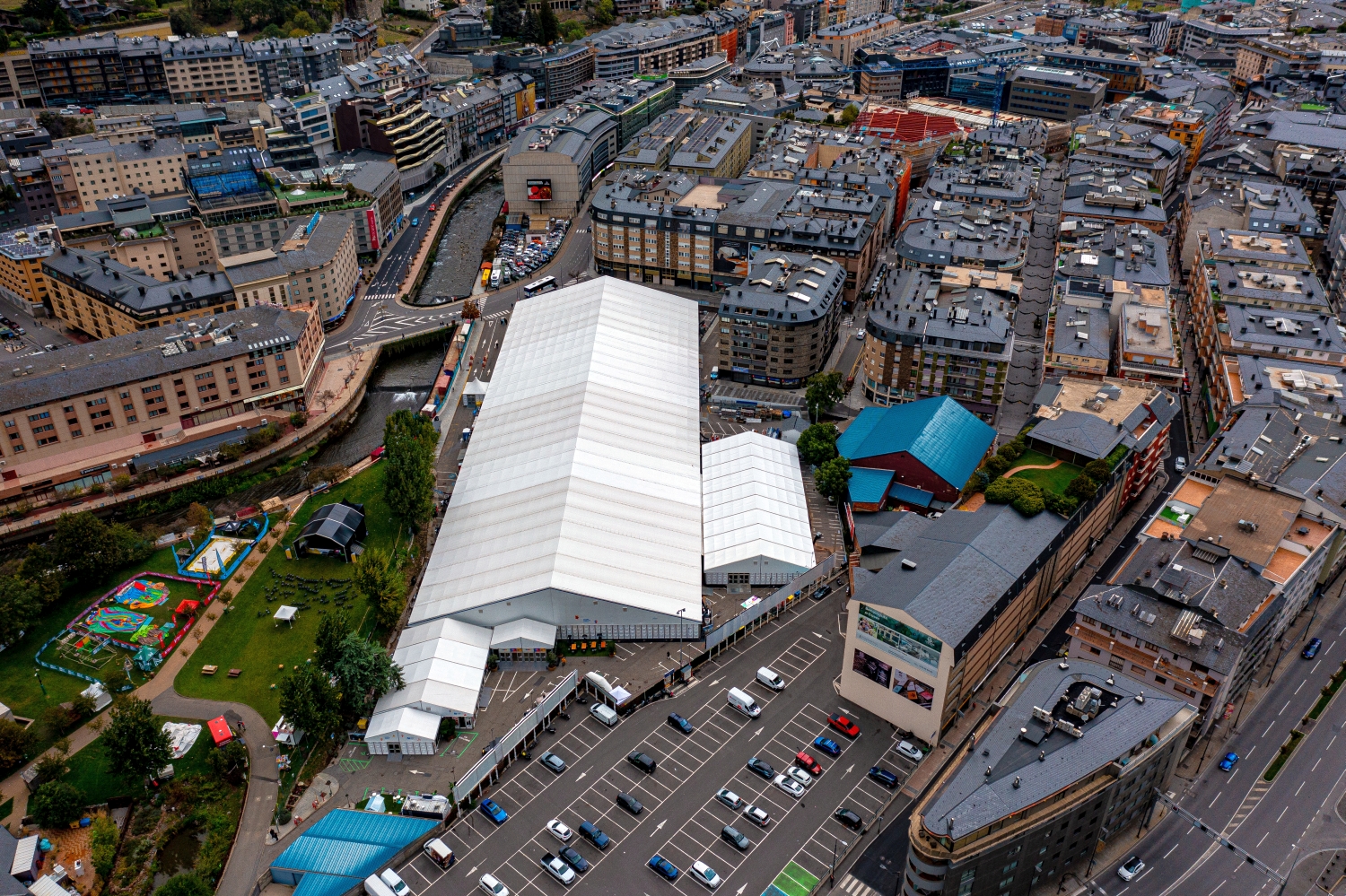
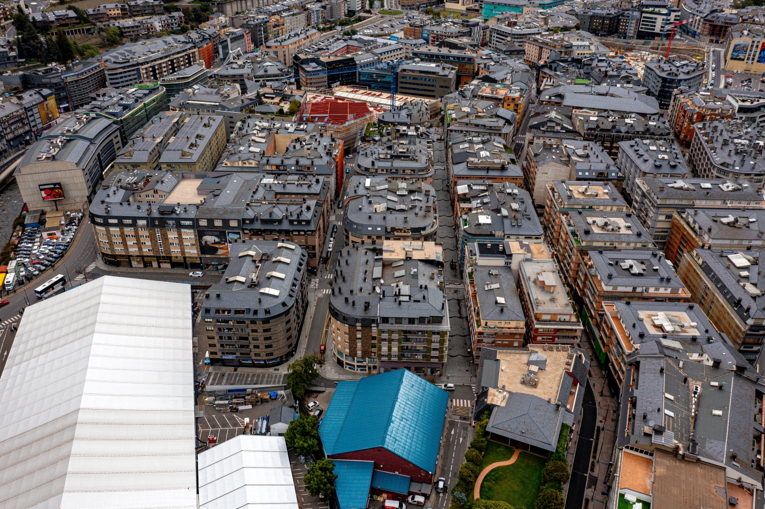
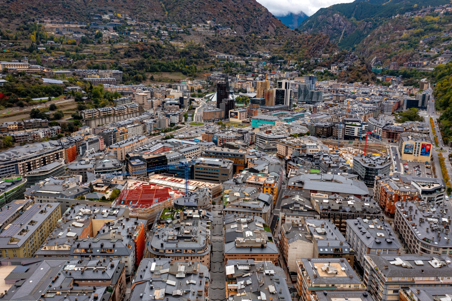
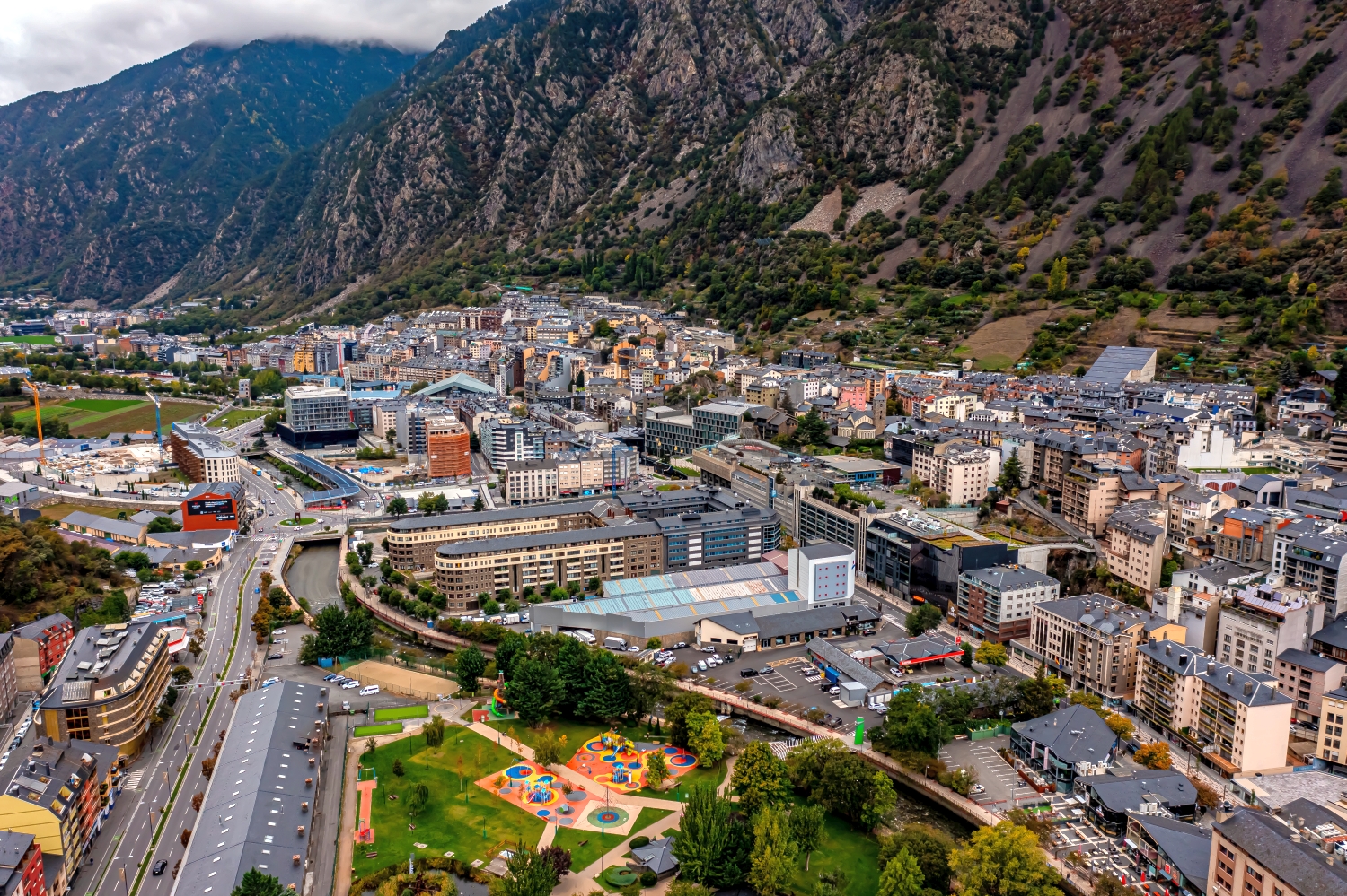
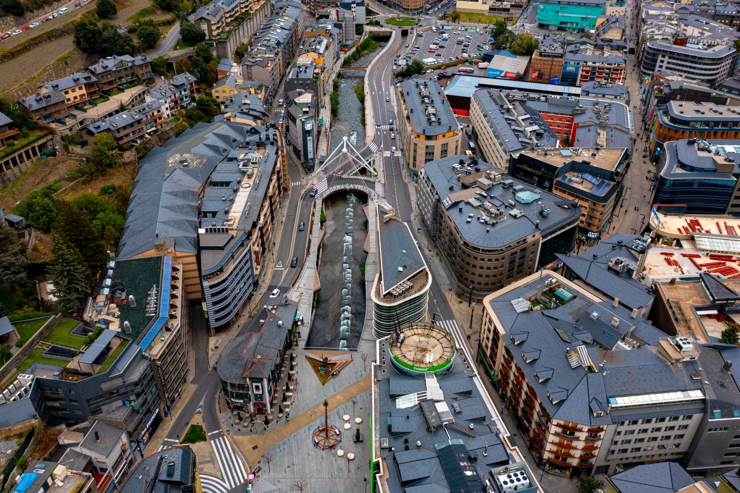
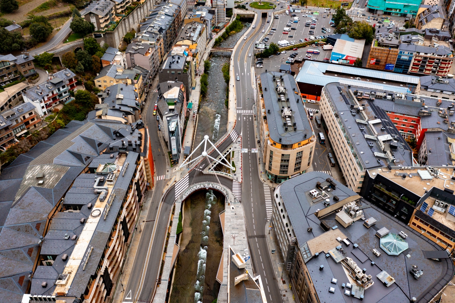
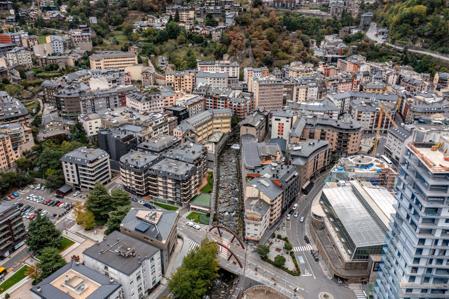
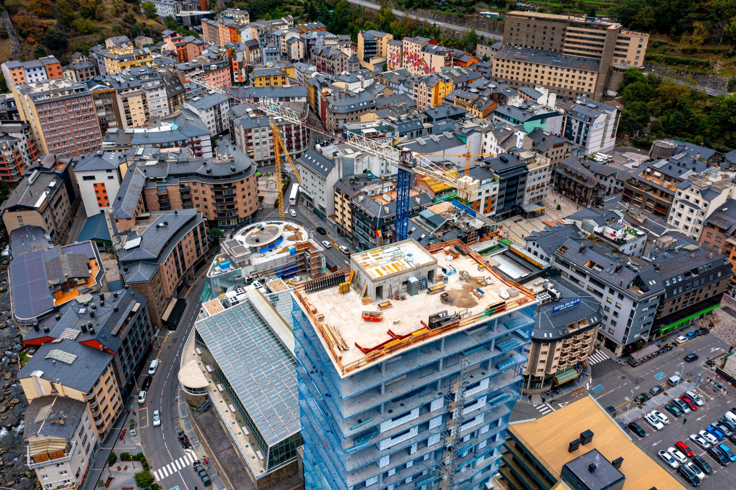
In Andorra, the valley floor and mountain slopes come close together. The settlements fill the available space; on the open heights, paths run in loops across the terrain. The change between built-up valley and open pass landscape makes the spatial differences in the country tangible.
Between the valley town and the top of the pass
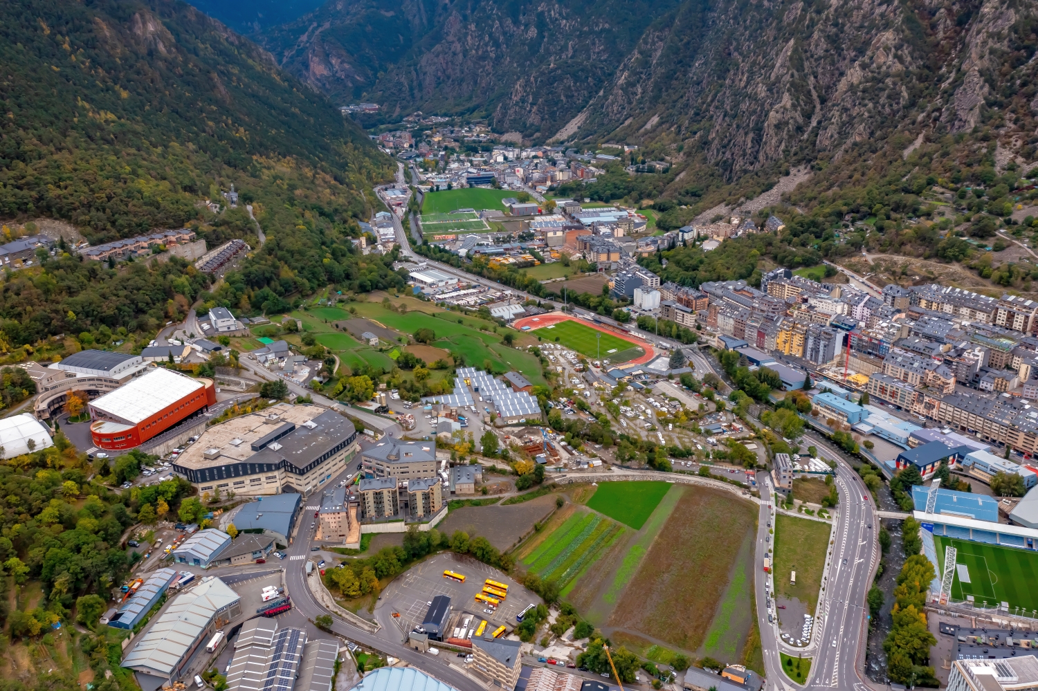
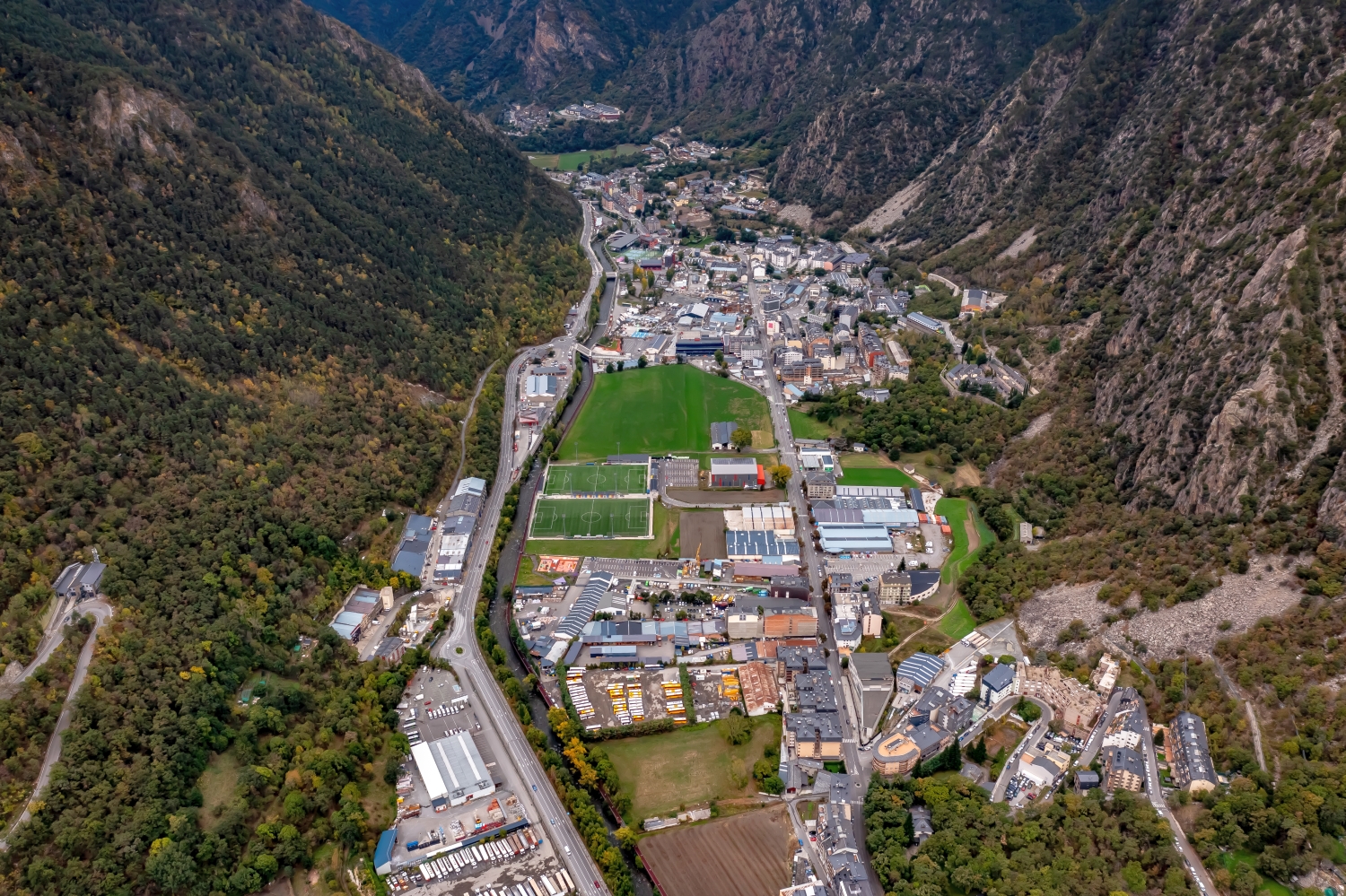
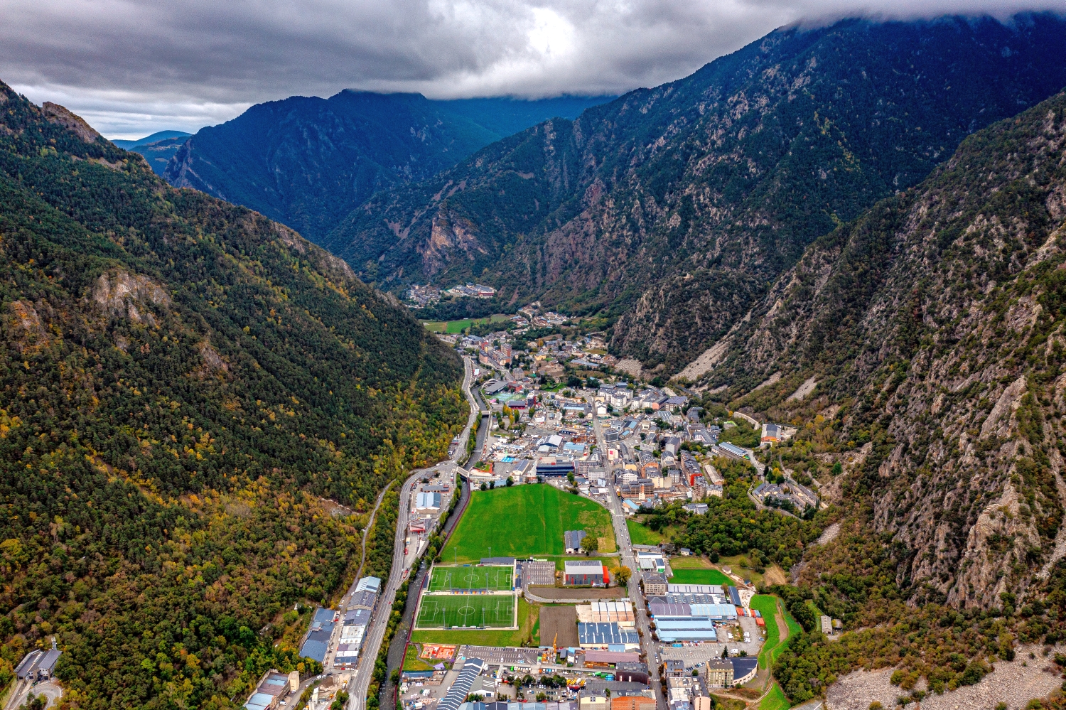
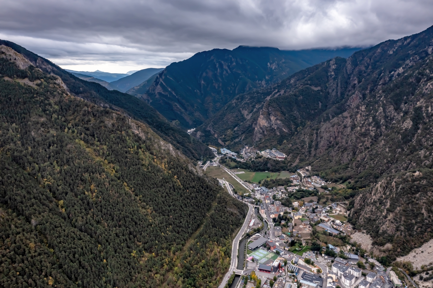
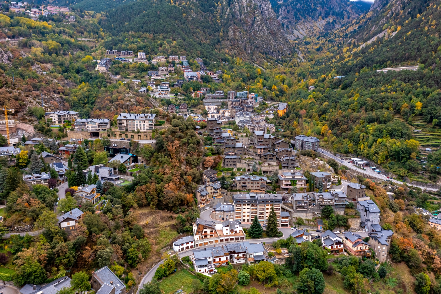
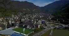
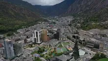
In Andorra, paths and houses lie between striking mountain ranges. A shot across the valley highlights the steepness, while a longitudinal view shows its further course.
A pass road shows the climb through its changes of direction. In an oblique aerial photo, several curves can appear to be at the same height. Only the embankment between two sections makes the difference in height visible. For a landscape photograph, it is therefore interesting to have a perspective that includes not only the street line but also the surrounding flanks. In a closer view, a single bend can then be the focus. Together, both images convey both the course of the route and the nature of the terrain.
Recognize the shape of the valley area
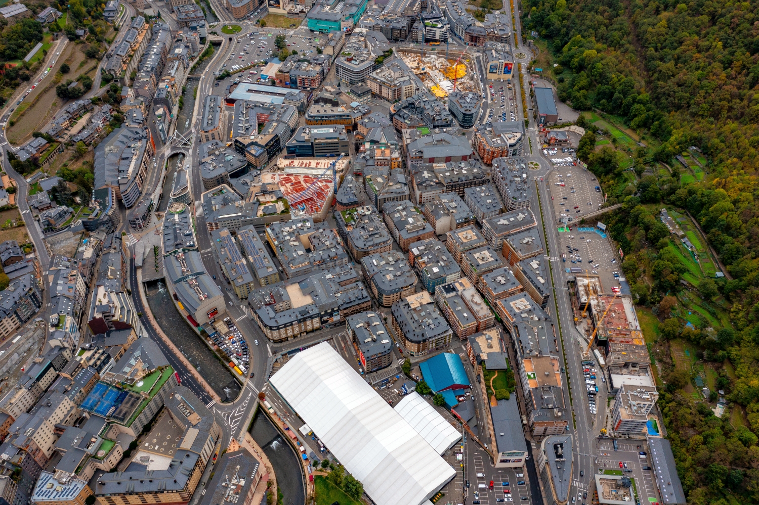
Two different narrative directions emerge along a valley and across it. The longitudinal view leads into the distance and shows what is arranged one behind the other. Looking sideways, the width of the valley floor and the rise on either side become clearer. Which view is convincing depends on the question asked of the image. For a description of the location, a lateral view is often productive. For a stretch along a route, the longitudinal view gives the viewer a direction to follow across multiple subjects.
The graduation of the mountain ranges
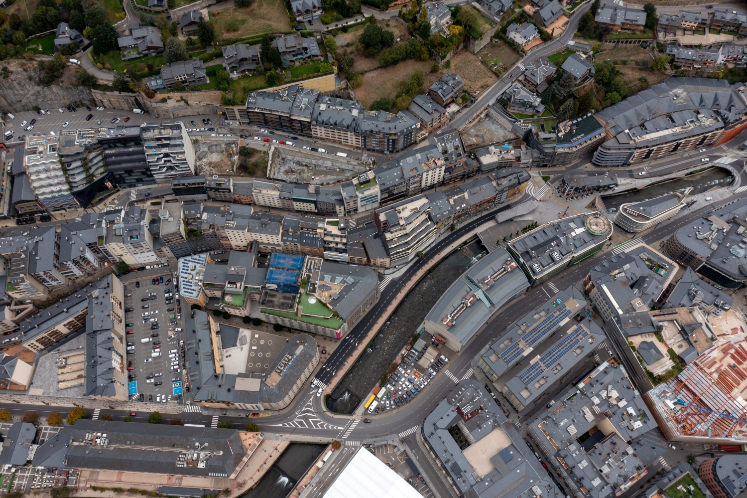
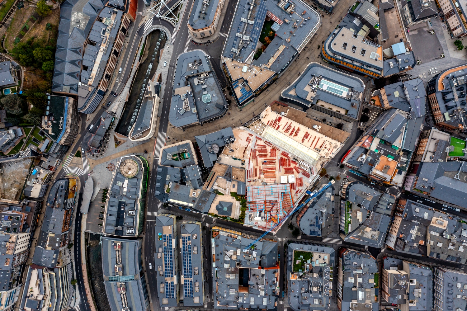
The silhouette of a mountain range is a good way to start looking. First you notice the highest point, then the succession of saddles and flatter sections. In an oblique shot, this profile connects with the shapes in the foreground. A steeper perspective takes more interest in the surface of the slope. A direct comparison makes it understandable why a location can change significantly when the viewing angle changes, even though the recognizable heights in the background remain the same.
Warm tones within the series
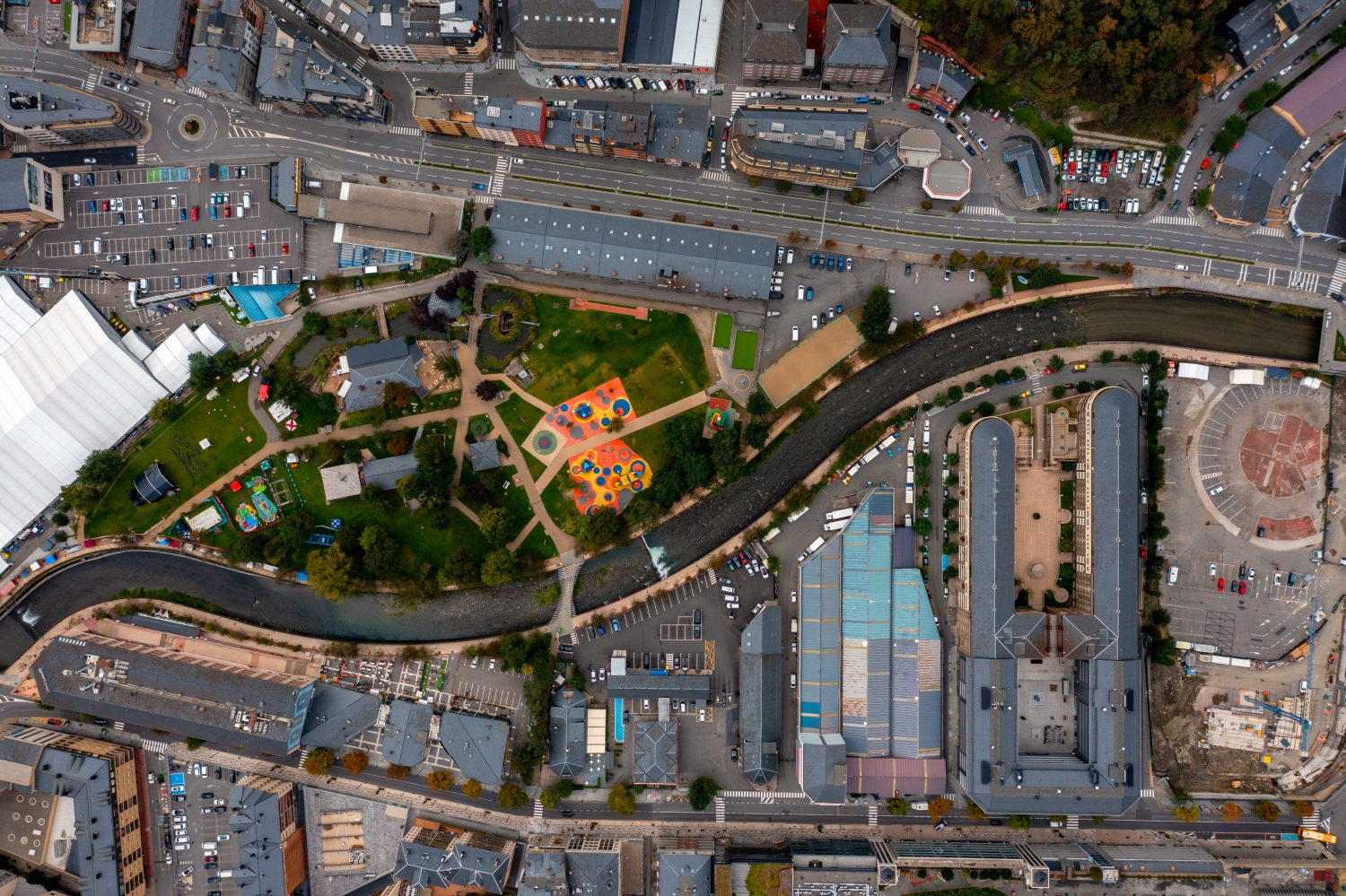
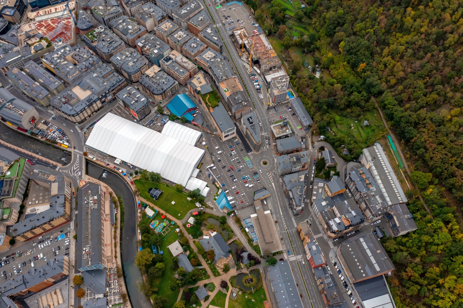
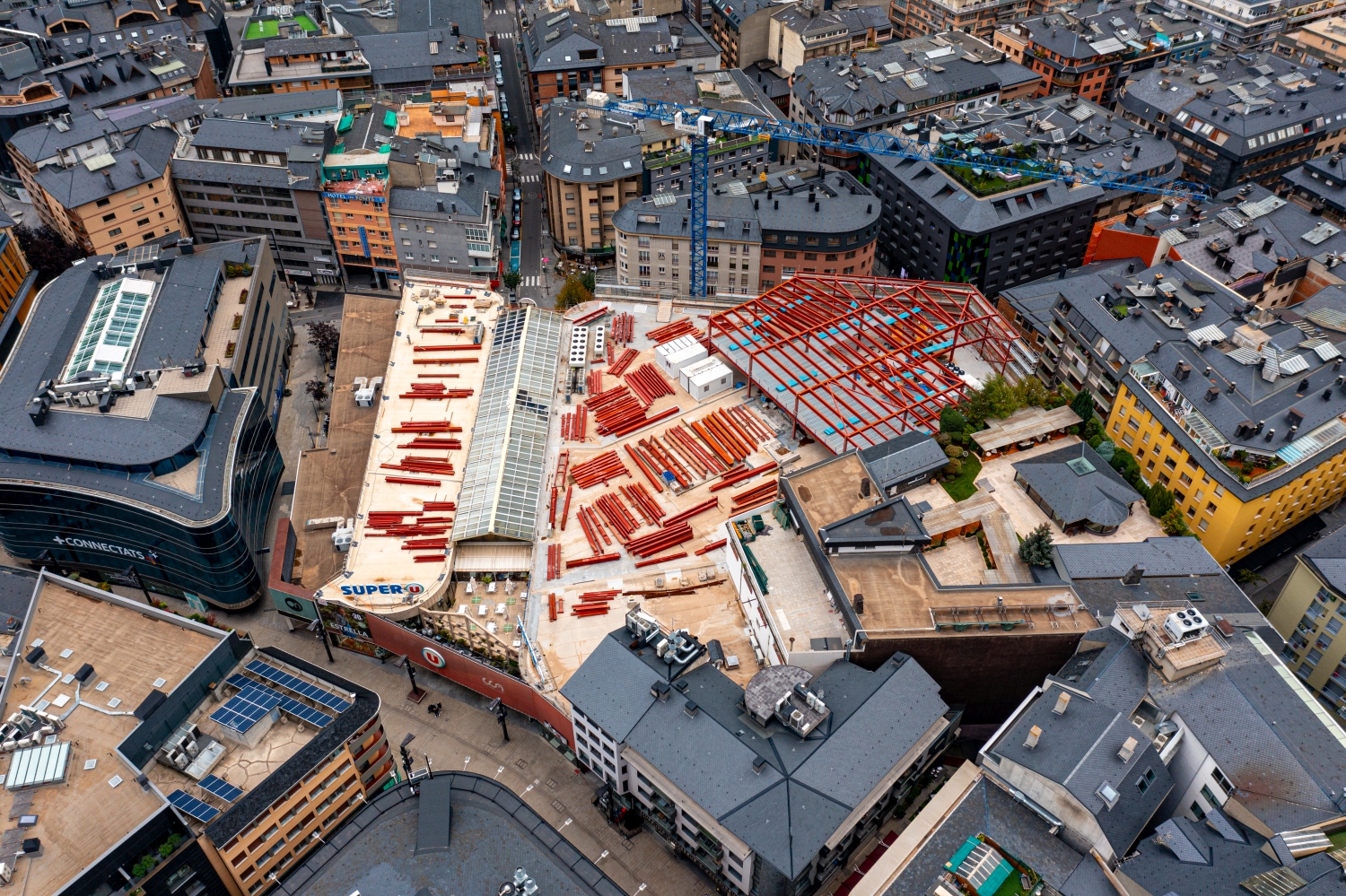
If you browse through the 90 aerial photos, you can stay at shot 1 and shot 27 for a comparison. In the second view, warm reds and browns have more weight than in the first. Red-brown and yellowish areas are particularly noticeable next to cooler surfaces. What is interesting when comparing is whether they are concentrated on a single object or appear spread out across the entire view.
The camera data for shot 1 is September 28th, 2017, the camera data for shot 90 is October 29th, 2023. When making a comparison, the time distance should therefore be taken into account in addition to the chosen viewing angle. The dating belongs to the individual photo. The exposure time for the first of the images mentioned was 41/8886 of a second and for the second it was 1/160 of a second.
For a selection of moving images, the gallery contains 8 linked clips. Below is “Andorra from the air”. Under Aerial Videos the preview leads to the aerial photographer's respective offer at Adobe Stock.
Select landforms for a landscape portrait
A single contour line can shape the impression of a landscape and yet reveal little about its extent. For a printed panorama, it is worth looking at the widest view first and then at a section of the same area. In a small format, a foreground with a clear contour can become more important than the most distant peak. If you plan a new view with an aerial photographer, you can make this decision based on the intended page layout and clarify in advance which part of the landscape definitely belongs in the picture.
Related motifs in the aerial photo archive
If you are looking for related motifs, you can start with France - Pyrenees. The Pyrenees series follows the sequence of valley locations, road bends and open mountain slopes. It's worth taking a second look at Maloja am Silsersee. At the Maloja Pass, the direction of view changes with every bend in the road.
Aerial Photos Andorra
Aerial Photographs & Aerial Videos
F4 Aerial Photographs – Your specialist for aerial photographs throughout Europe. Benefit from our many years of experience and technical equipment and let us convince you with a quick implementation and unbureaucratic processing. We look forward to inspiring you with breathtaking aerial photographs throughout Europe.
All pictures & videos | 25€Buy now >>>
Services
Aerial photos in 4K resolution
Aerial videos in 4K resolution
Individual perspective requests
Including image editing
All necessary permits and insurance
Your benefits
No appointment required
Short-term processing
Pay conveniently via Paypal
Picture delivery via download
Direct contact person
Aerial Photographs & Aerial Videos from Andorra
Use the contact form and send us your ideas and specifications for aerial photographs & aerial videos in Andorra and the surrounding area. We will contact you immediately and make you an offer that will convince you and implement your wishes in detail. We would be happy to inspire you with impressive aerial photographs and aerial photos in Andorra and the surrounding area. If you would like to buy existing aerial photographs from our website, please do not hesitate to contact us
Request a quote