 F4LUFTBILDER
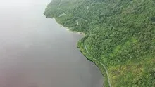
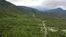
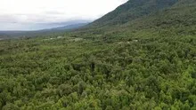
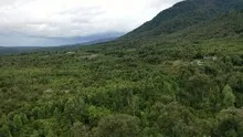
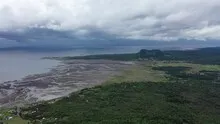
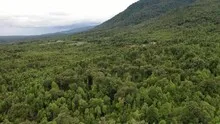
The Carretera Austral on the water
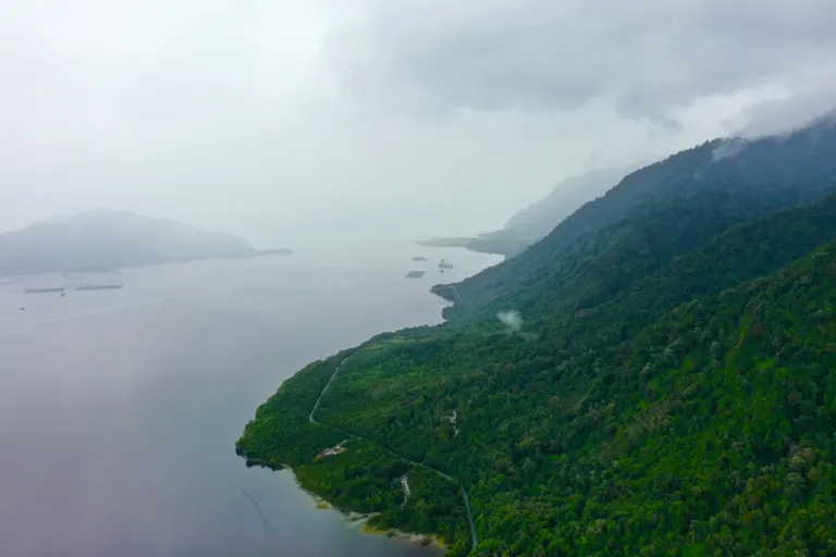
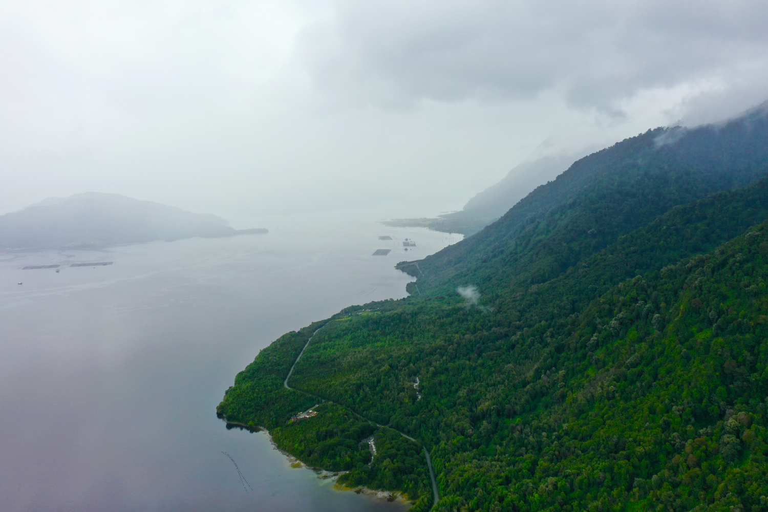
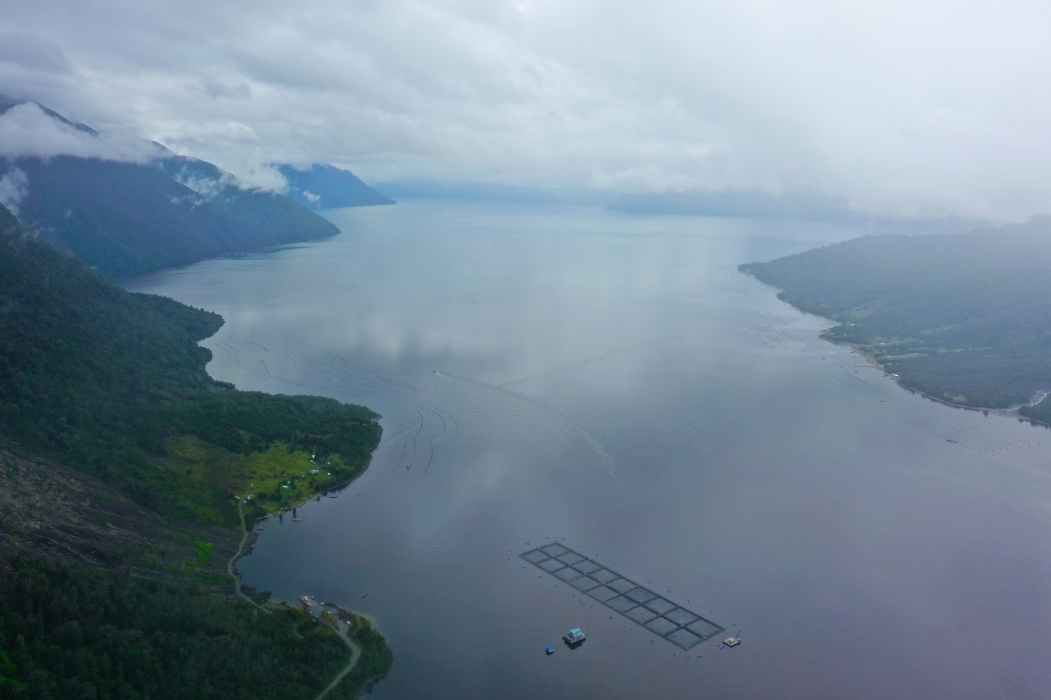
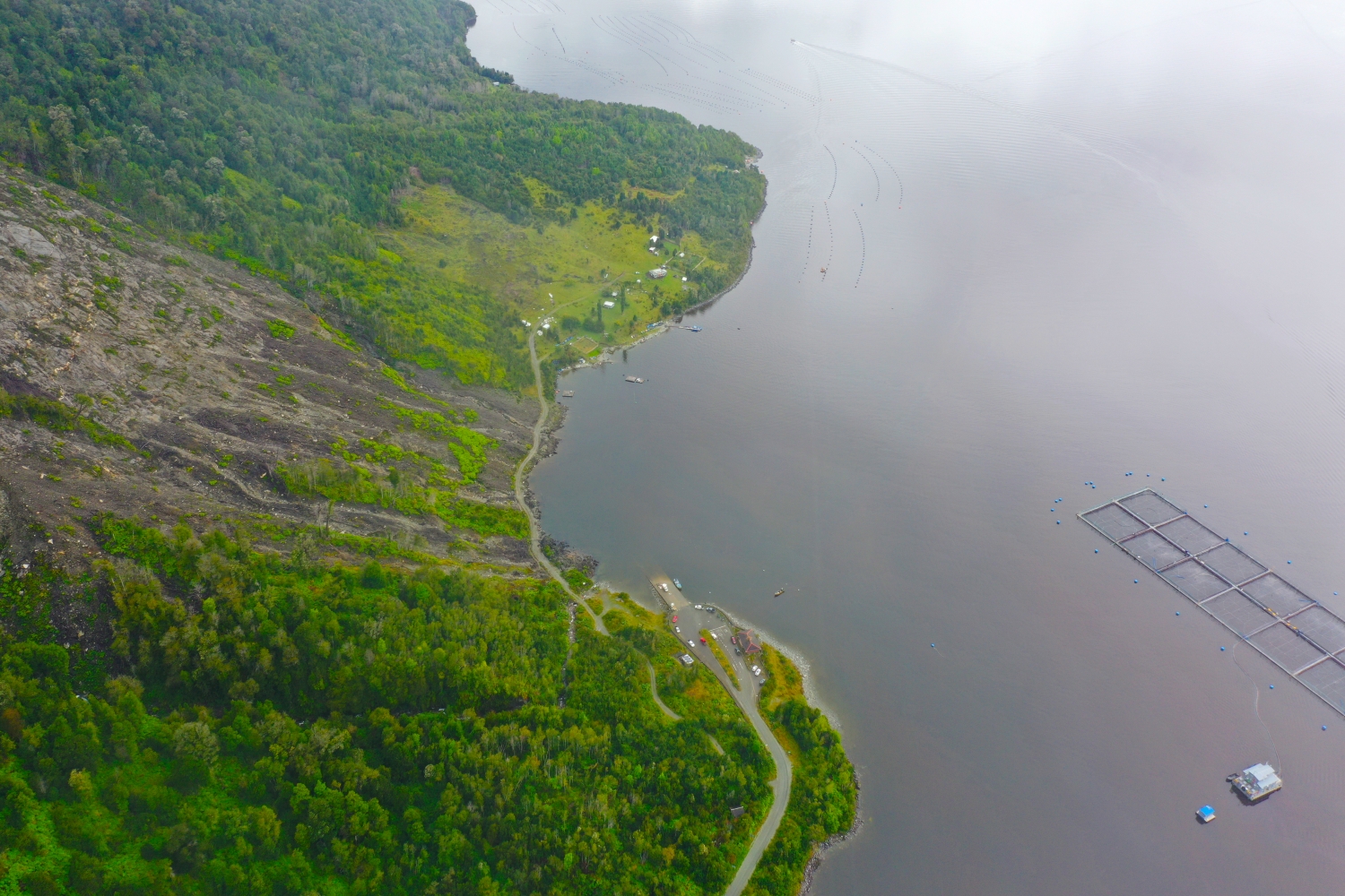
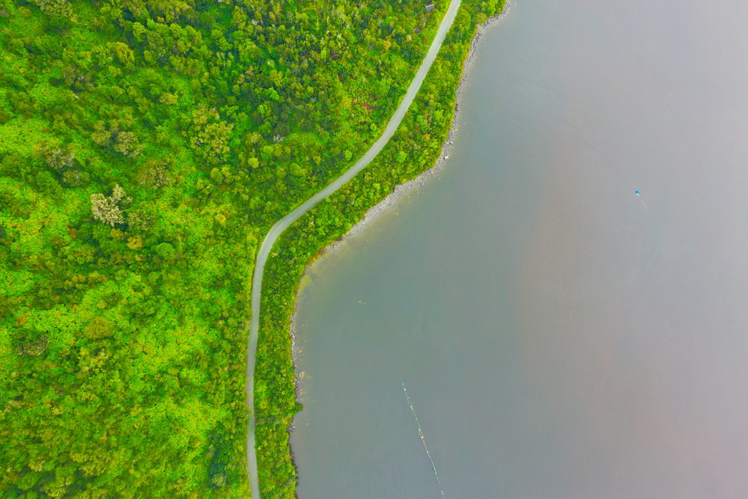
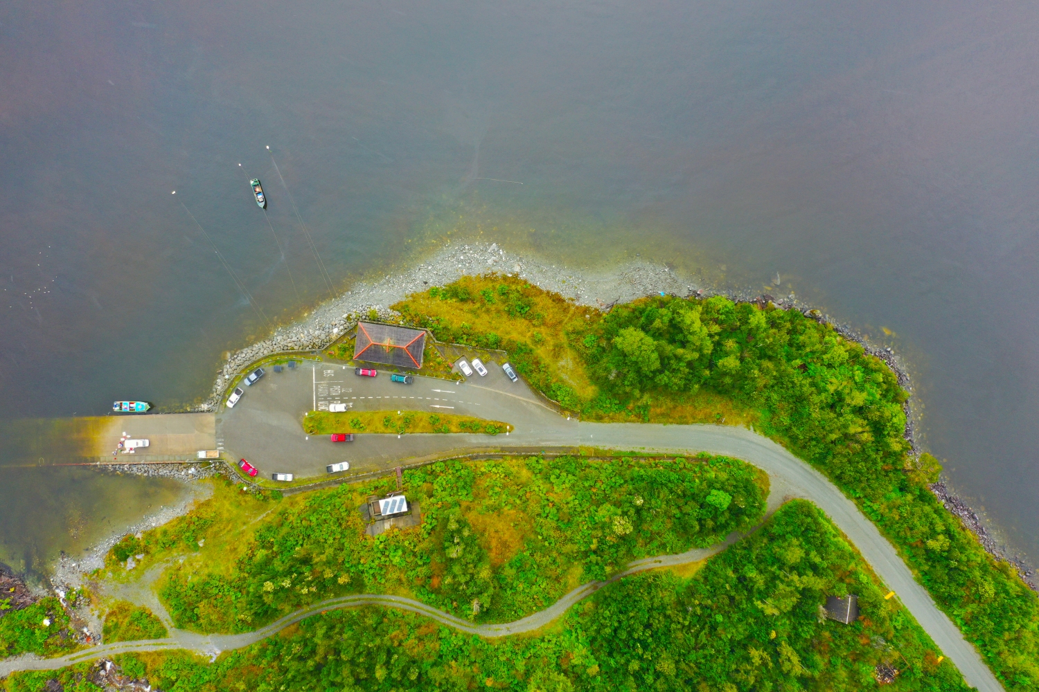
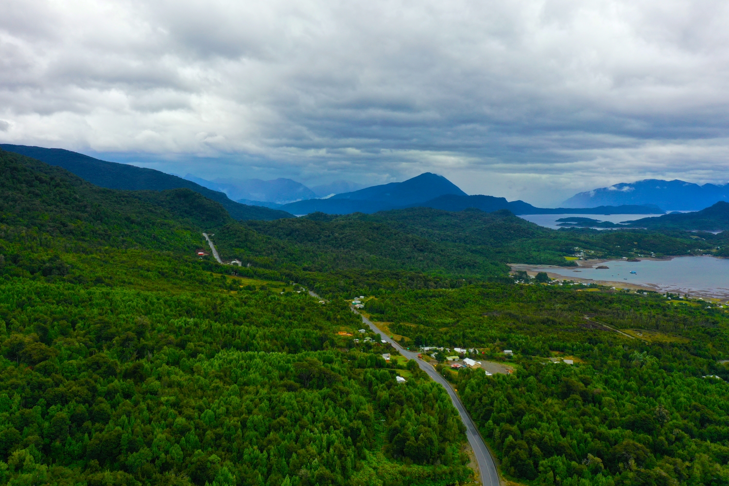
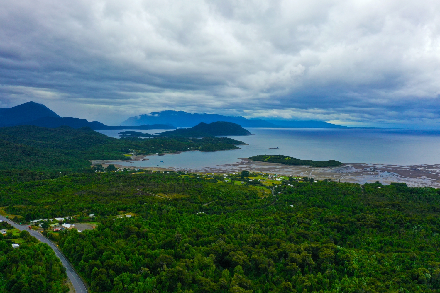
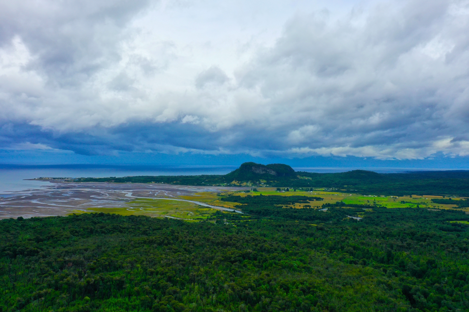
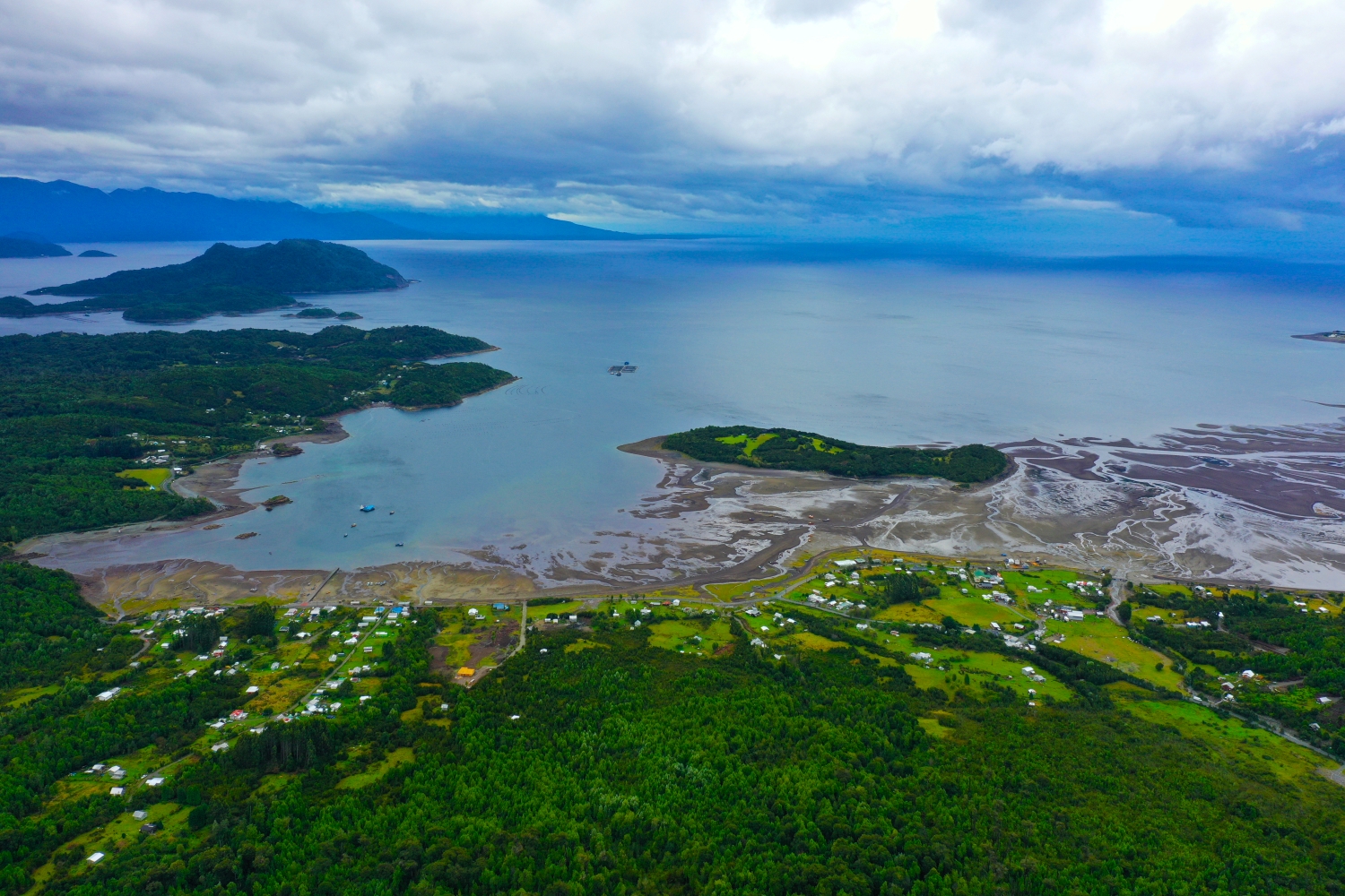
Where the Carretera Austral in Chile runs along the bank, there is often only a narrow strip between the water and the forested slope. The street line connects several image depths. It is particularly noticeable in low clouds because the distant slopes are more faintly marked.
A road follows the landscape
The Carretera Austral becomes a clear motif where the road and the bank come close. Its course makes it understandable why some sections of the site are only narrowly accessible.
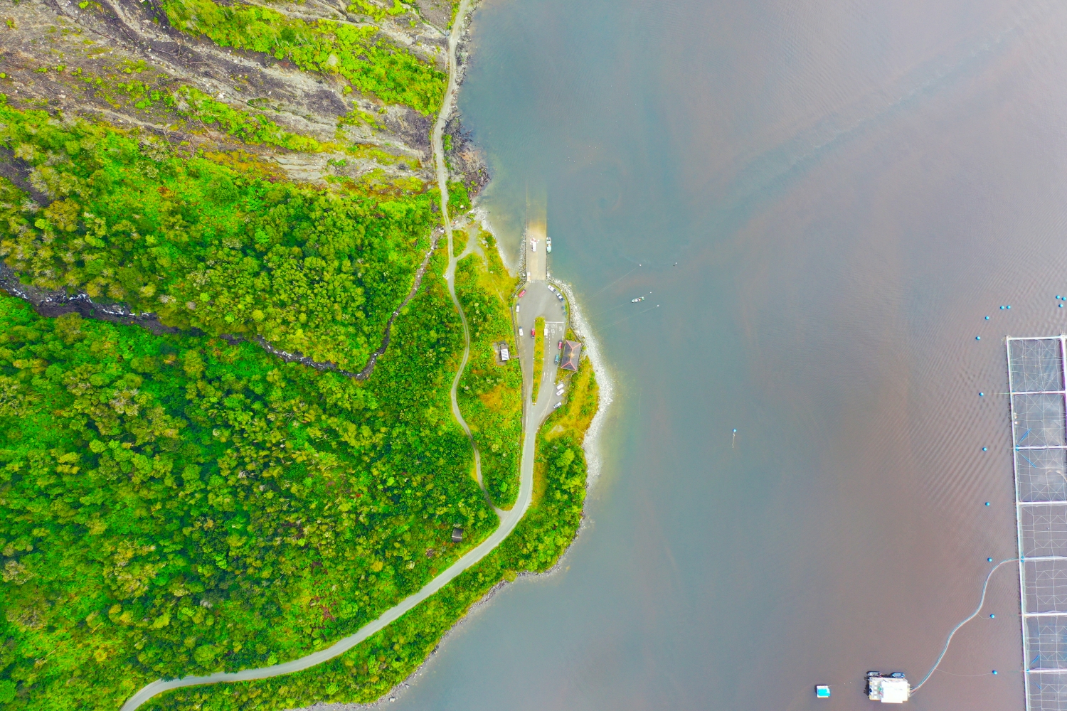
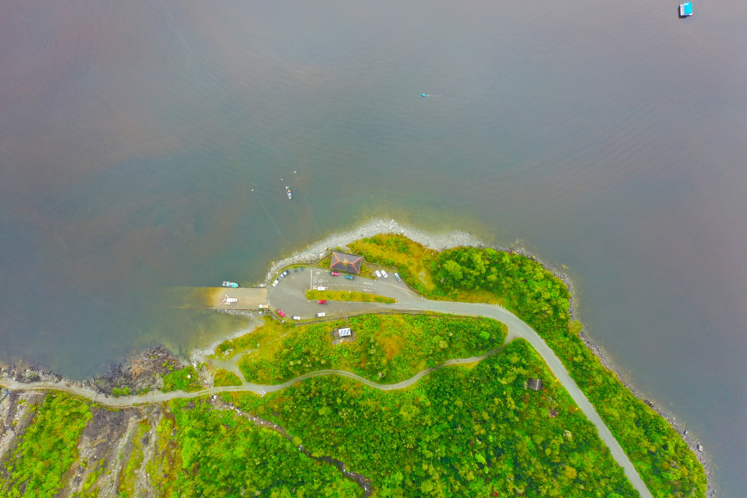
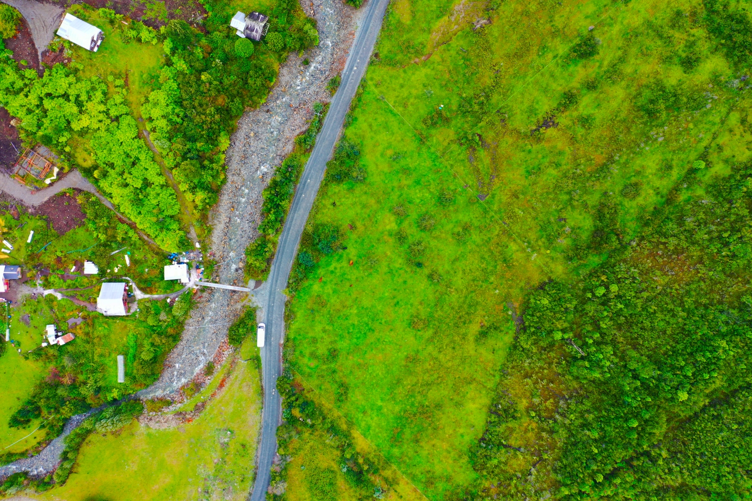
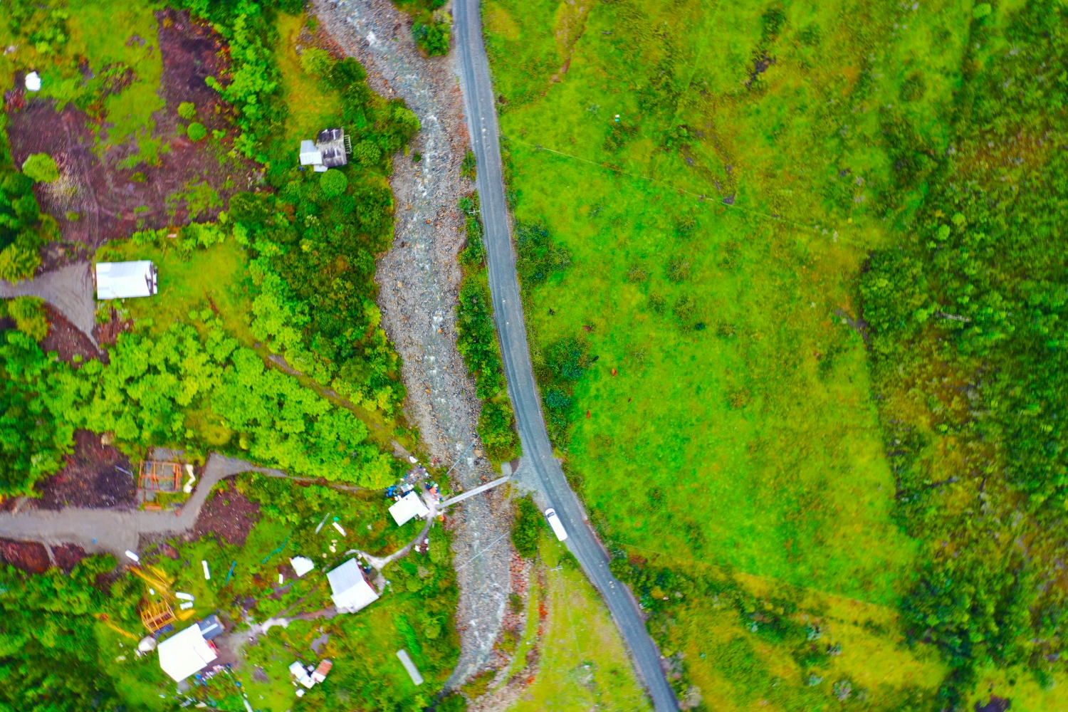
A traffic route gives direction to an aerial view. From above you can see where the route is, where it adapts to the terrain and where another path crosses it. An easily recognizable crossing is particularly useful for an illustration. It arranges the section in the larger network and brings together different proportions. A second look along the route can then show how the line from the first image continues into the adjacent landscape.
The shore zone in detail
On the bank, the familiar solid surface and the changing water surface lie right next to each other. An embankment or a narrow path can appear significantly wider when viewed from an angle than when viewed from a steeper perspective. That's why it's helpful to keep a point such as a junction or a prominent curve in the image. It combines the close-up view with the panorama. Even when switching from landscape format to portrait format, this transition should remain visible if the location on the water is the actual topic.
What role does visibility play?
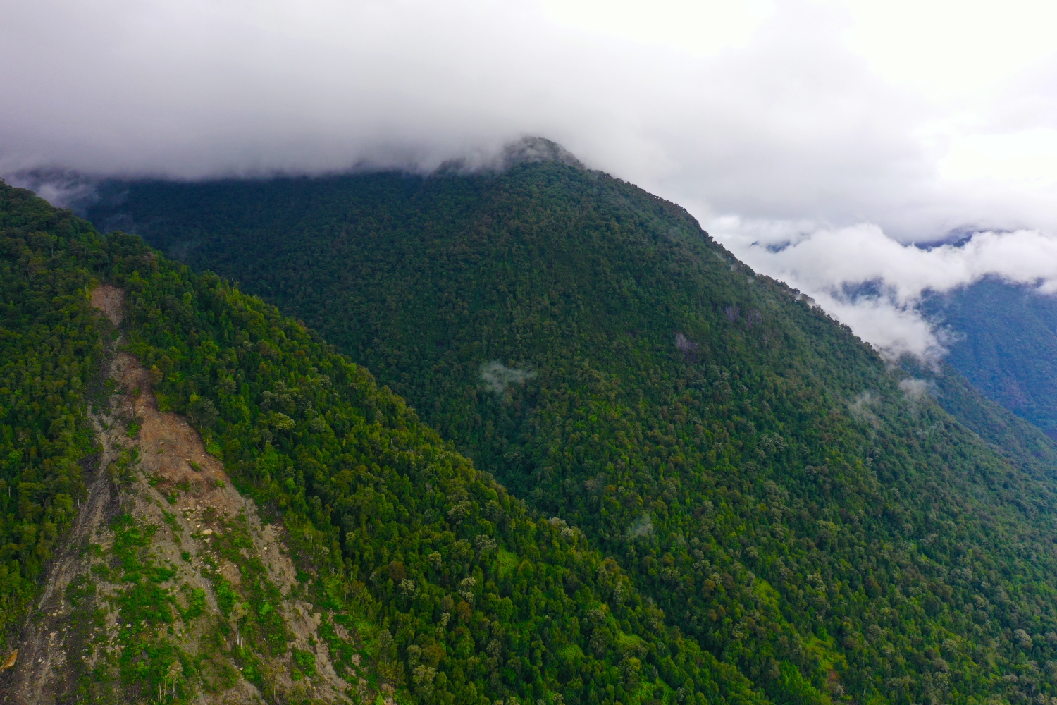
When haze or clouds weaken the distance, the closer landscape stands out all the more. Colors and contrasts change with distance. For a calm landscape portrait, this may be exactly what you want. When it comes to the spatial assignment of a specific motif, at least one prominent point should remain clearly recognizable. A caption can indicate the visibility conditions. It makes it understandable why part of the landscape is only hinted at and where the view can begin.
The distribution of blue tones
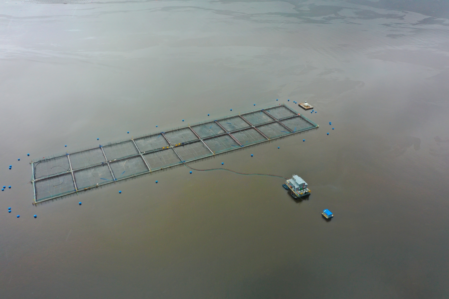
For a direct image comparison, use shot 6 and shot 4 from the gallery with 15 aerial photos. In the first excerpt, shades of blue play a smaller role. In the second shot, blue areas take up more space. Blue can extend over a large contiguous area or only appear in individual parts. What also counts for the effect is whether these areas extend to the edge of the picture or surround the main subject.
The camera data for shot 1 is March 5, 2022, and that for shot 15 is March 6, 2022. When making a comparison, the time distance should therefore be taken into account in addition to the chosen viewing angle. The dating belongs to the individual photo. The exposure time was 1/160 second for the first of the images mentioned and 1/80 second for the second.
For a selection of moving images, the gallery contains 6 linked clips. Among them is “Carretera Austral in Chile”. Under Aerial Videos the preview leads to the aerial photographer's respective offer at Adobe Stock.
An image for spatial documentation
In the case of a technical system, the direction of view determines which relationships can be explained. The course is clear along a traffic axis, and across it often the connection to the neighborhood. Both questions are valid for a project portrait. The aerial photographer can treat them in separate views. When publishing later, it will help to organize the selection according to these questions. Two visually different images can otherwise repeat the same information, while an entrance, a crossing or the connection to a neighboring property remains incomprehensible.
Related motifs in the aerial photo archive
The article Malleco Viaduct offers another perspective. At the Malleco Viaduct in Chile, a straight girder line runs over a deep, green cut. In the gallery Laja-Falls there is a different focus. At the Laja Falls in Chile, bright water divides at the edge of the rock and collects again in darker pools deeper down.
Aerial Photos Carretera Austral
Aerial Photographs & Aerial Videos
F4 Aerial Photographs – Your specialist for aerial photographs Worldwide. Benefit from our many years of experience and technical equipment and let us convince you with a quick implementation and unbureaucratic processing. We look forward to inspiring you with breathtaking aerial photographs Worldwide.
Services
Aerial photos in 4K resolution
Aerial videos in 4K resolution
Individual perspective requests
Including image editing
All necessary permits and insurance
Your benefits
No appointment required
Short-term processing
Pay conveniently via Paypal
Picture delivery via download
Direct contact person
Aerial Photographs & Aerial Videos from Carretera Austral
Use the contact form and send us your ideas and specifications for aerial photographs & aerial videos in Carretera Austral and the surrounding area. We will contact you immediately and make you an offer that will convince you and implement your wishes in detail. We would be happy to inspire you with impressive aerial photographs and aerial photos in Carretera Austral and the surrounding area. If you would like to buy existing aerial photographs from our website, please do not hesitate to contact us
Request a quote