 F4LUFTBILDER
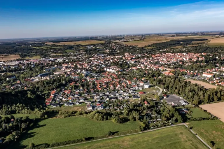
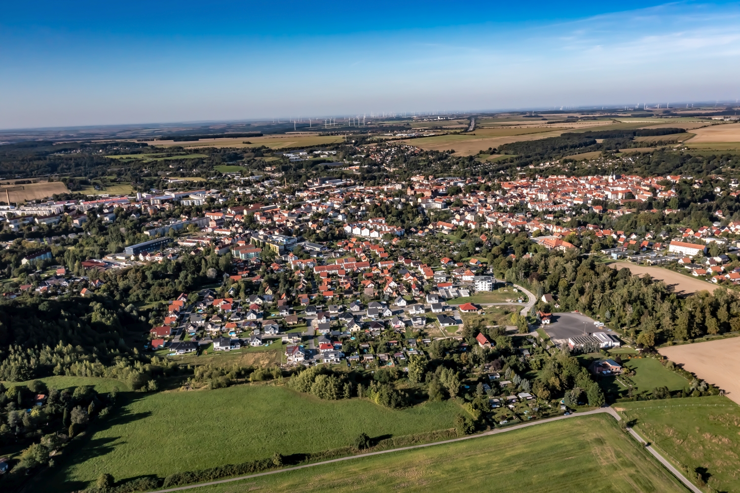
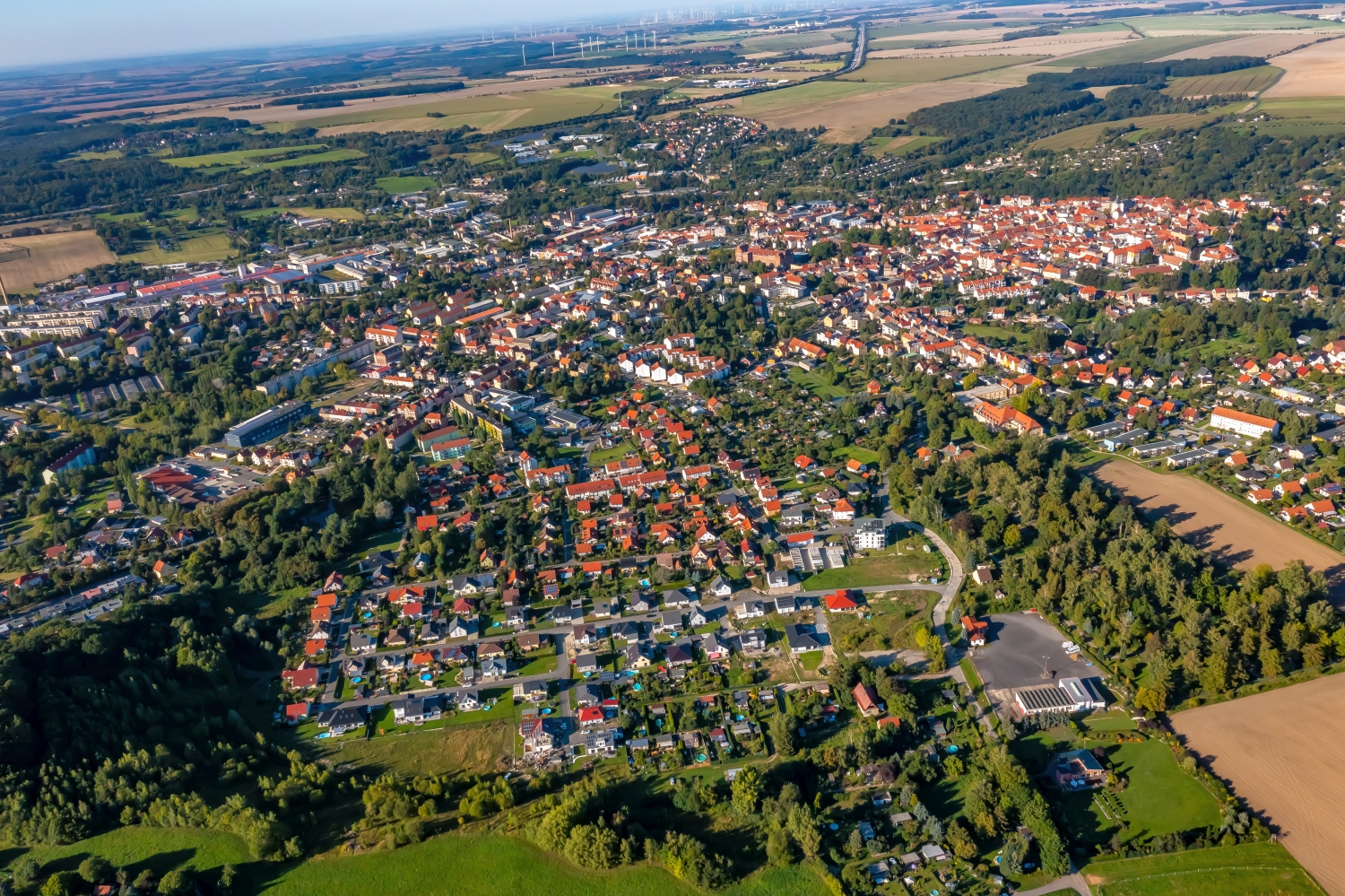
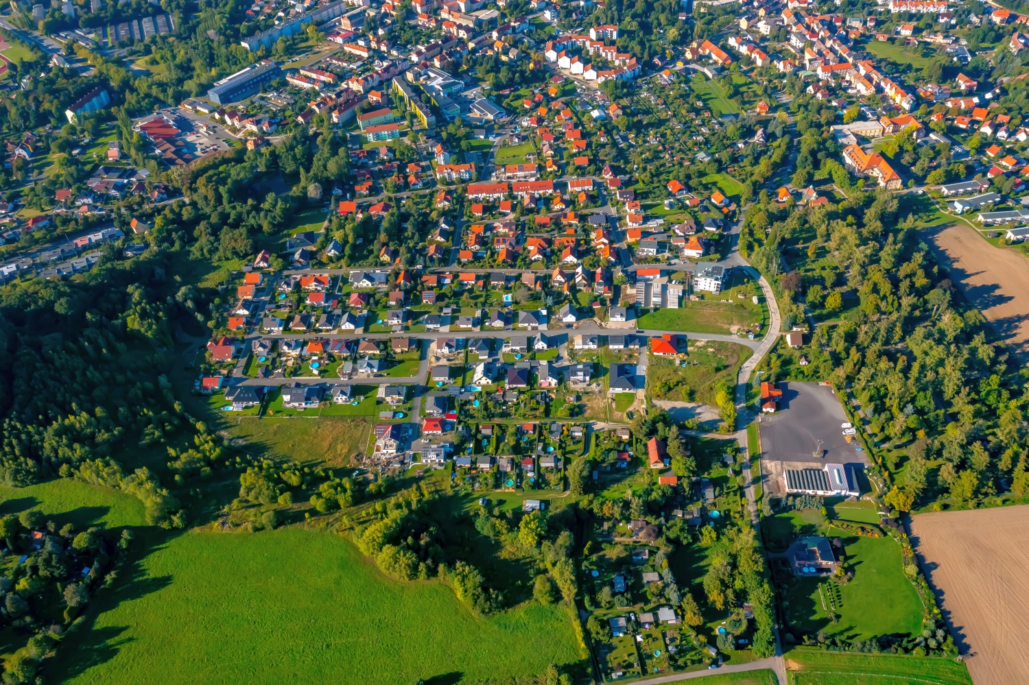
Eisenberg's roofs between open heights
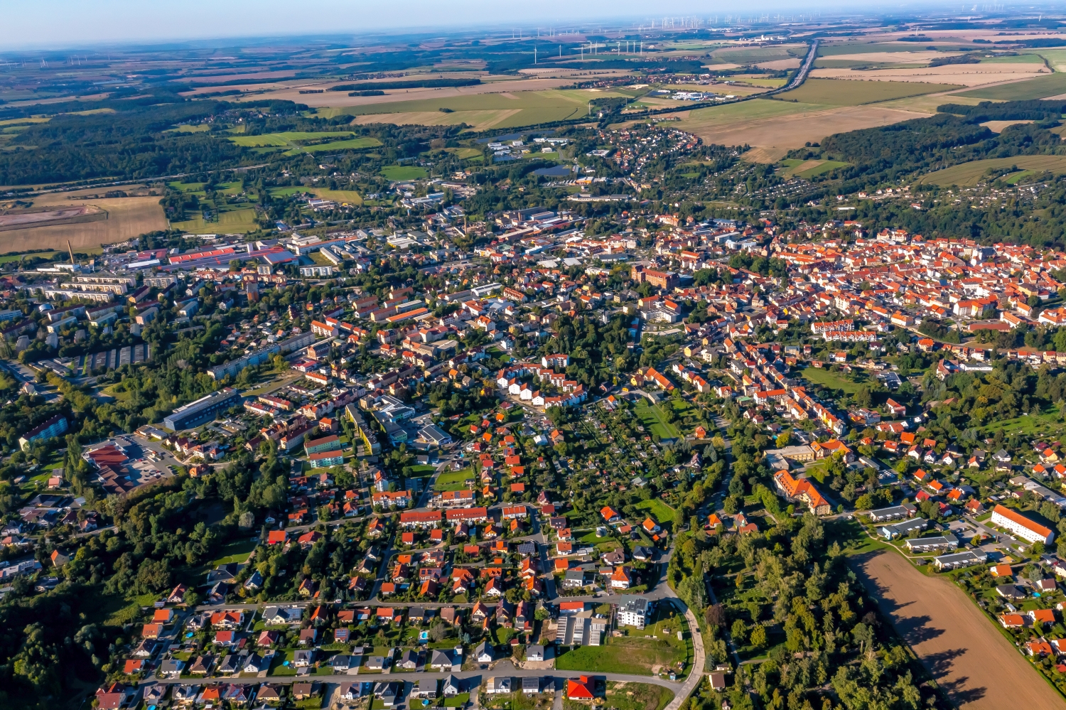
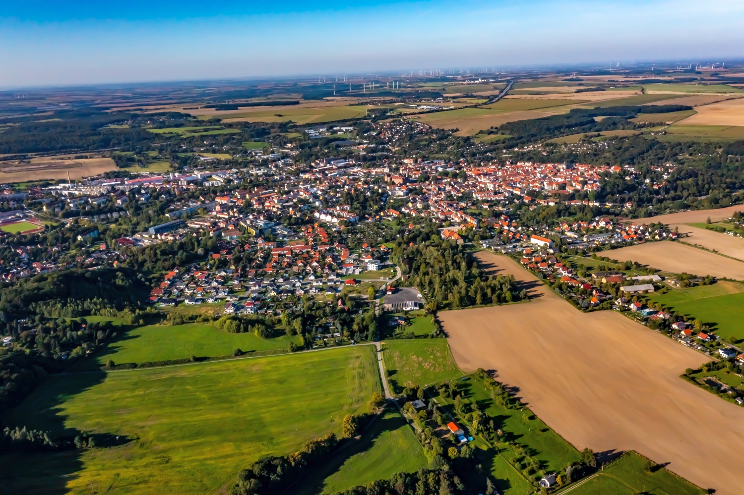
At Eisenberg in Thuringia, the long transitions between town and field are striking. Even a narrow strip of hilly land gives the densely built-up streets a sense of scale. The side view in particular shows how far the place extends over the undulations of the terrain.
The Thuringian hilly landscape in the cityscape
In Eisenberg, the roof groups that slope in different directions are the first thing you notice. Only the brighter fields behind it reveal that the city is spread over an undulating plateau. If you look across the slope, this location is better appreciated than along a single street.
On the edge of town, several scales come together in a small section. On one side there are individual buildings with gardens and driveways. On the other hand, a single open area sometimes takes up as much space as several streets. This change can be shown in the picture over a common edge. A section in which the border between the two areas remains visible even when displayed narrowly is suitable for a website. The motif then retains its local reference even in the mobile view.
Field boundaries as a benchmark
On a map, fields become similar areas. In the aerial photo they differ in color, structure and processing direction. A bright dirt path divides two plots, a row of trees interrupts the straight lines. In such places, the size of the open hallway is better understood than by just looking at the horizon. Color changes should initially be left as an observation. Which crop is growing in a field or when it was cultivated can often only be determined from a single photo with additional local knowledge.
What the roofs reveal about the floor plan
A city center can often be read by its roofs. Where narrow gables are close together, the street space is also divided into short sections. A large, connected building interrupts this sequence. In the aerial photo you can follow the direction of an alley from such an interruption. For an illustration in a smaller format, a section with just a few easily distinguishable roof groups is worthwhile. In a large print, however, the spaces and small changes in direction are allowed to keep their place.
Shades of green in the image
For a direct image comparison, use shot 1 and shot 3 from the gallery with 5 aerial photos. In the first image, green areas make up a smaller part of the section than in the second. It's worth tracking the green areas individually. Only in connection with neighboring forms does it become clear what is in the foreground and what belongs to the more distant surroundings.
According to camera data, Shot 1 and Shot 5 were taken on September 7, 2023. There is a gap of around 5 minutes between the two images. The exposure time was 1/640 second for the first of the images mentioned and 1/1250 second for the second.
A townscape for chronicle and community
For a local chronicle, the outer edge of the development is just as interesting as the middle. That's often where things change first. A meadow becomes a building site, a driveway is given a new route, a single house disappears behind the larger trees. If you want to talk about the same place again later, a dated overall view is helpful. You can agree with the aerial photographer on a point that should remain in the image when repeated. A street intersection is usually better suited for this than a moving object on the side of the road.
Related motifs in the aerial photo archive
The article Vechta offers another perspective. In Vechta, the agricultural area extends right up to the residential areas. In the gallery Ilmenau there is a different focus. In the series, Ilmenau shows the larger building complexes in the green space and the narrower streets of the city center.