 F4LUFTBILDER
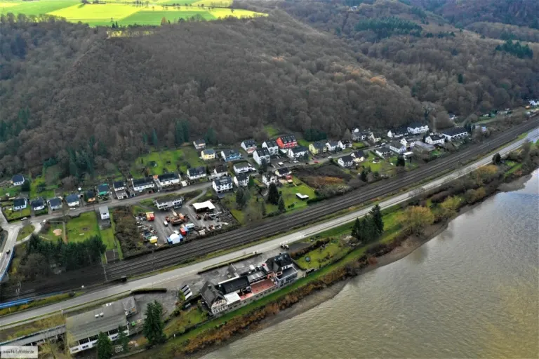

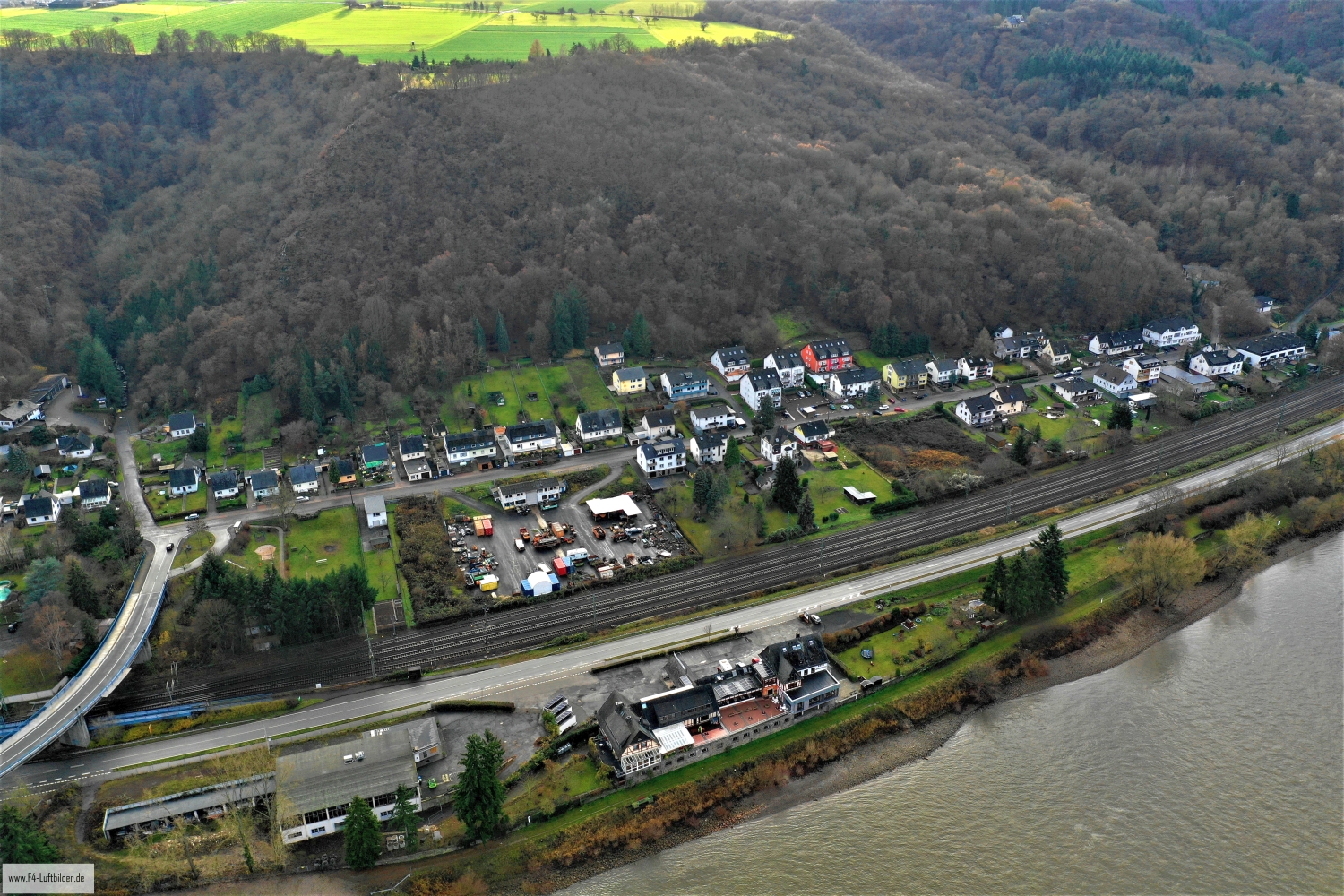
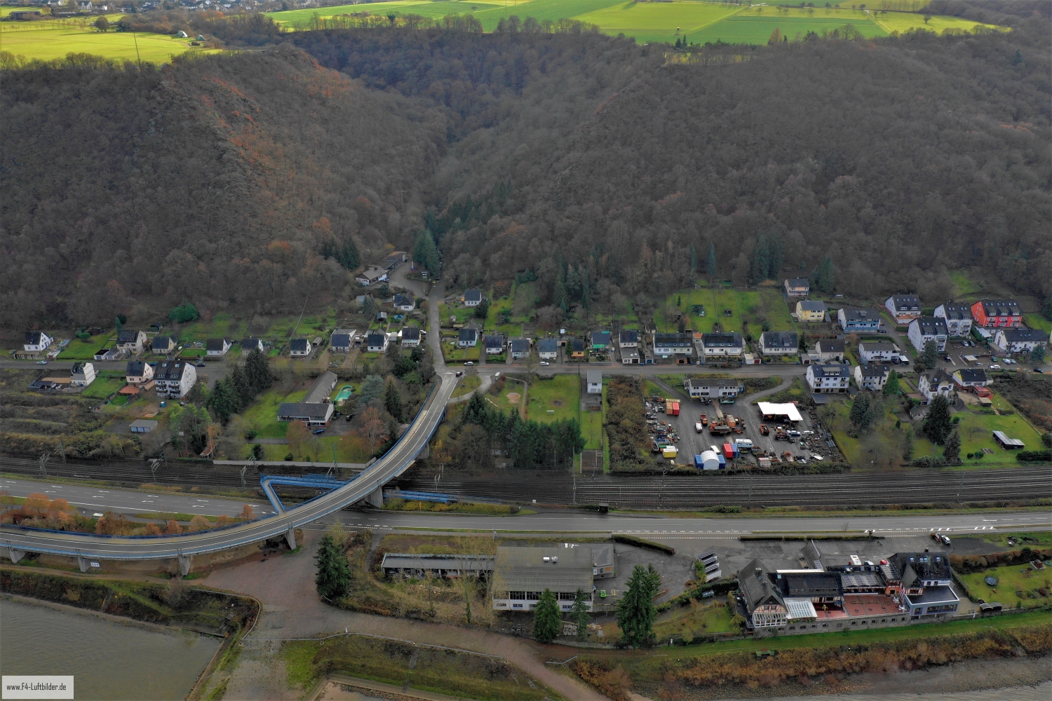
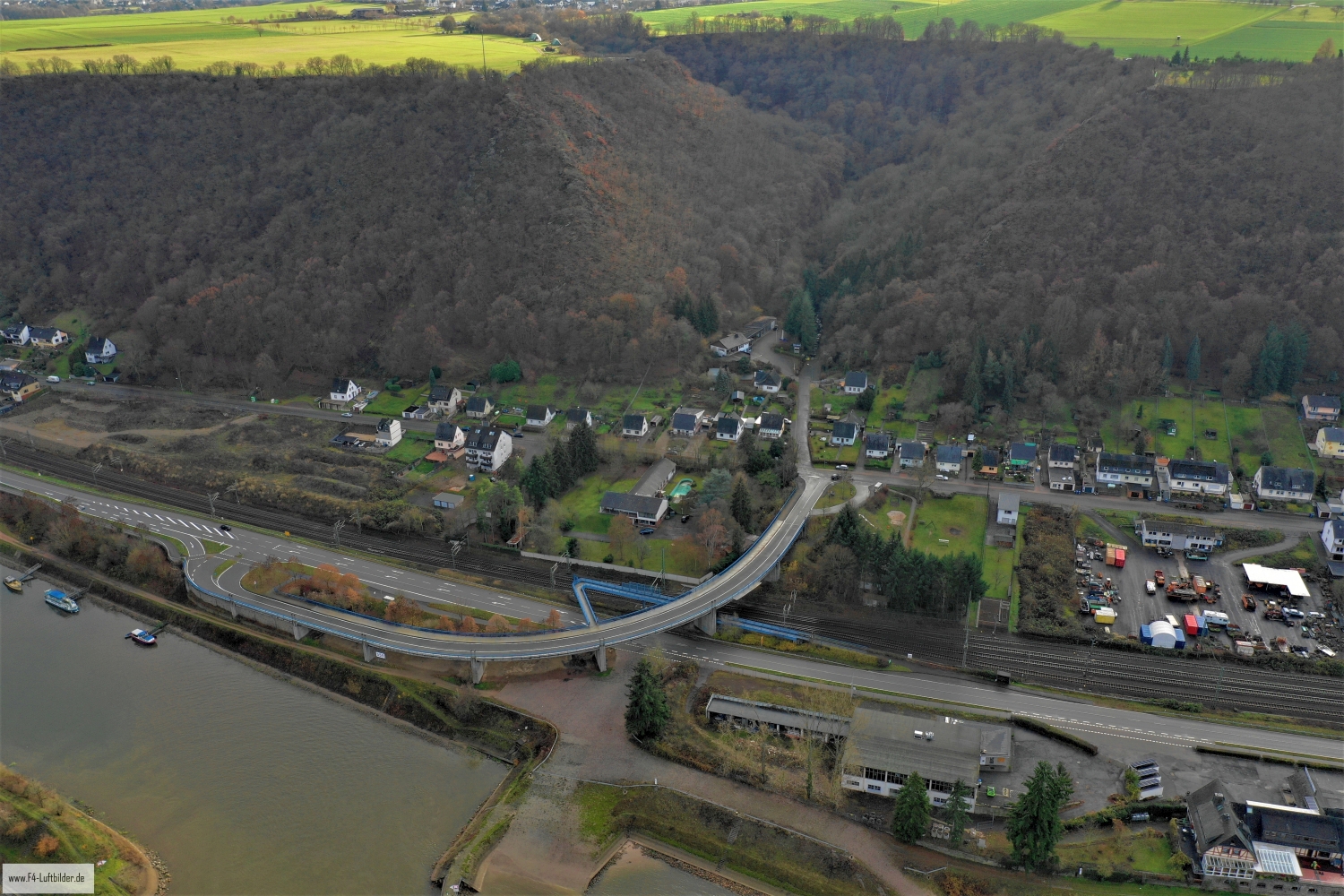
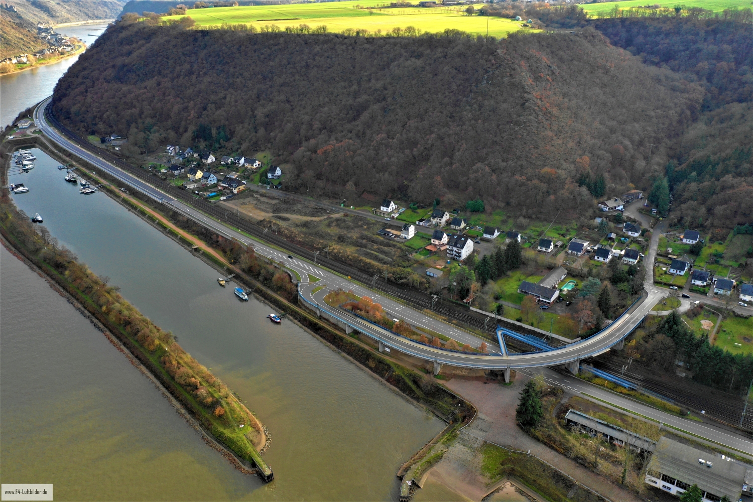
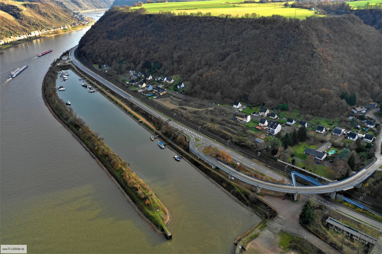
Fellen on the Rhine between the railway line and the slope
In these photos, Fellen is located on the left bank of the Rhine near Sankt Goar. The railway line and the main road follow the stream, while the wooded slope moves close to the houses. The elongated shape of the settlement can be seen particularly well in the narrow section between the bank and the embankment.
The narrow strip of settlements on the Middle Rhine
In Fellen, the course of the Rhine also explains the direction of the settlement. Between the first row of houses and the slope there is little space for a widespread network of streets.
A river changes its role with the direction of view. Across the water you can clearly see how close the development is to the bank. A view along the run connects several sections that appear separate from the street. A particularly vivid image is one in which there is a prominent bank in the foreground and a second reference point further back. The eye can then follow the distance between them itself. A picture caption is achieved by indicating which side of the river the main motif is on.
Follow a line through the area
A traffic route gives direction to an aerial view. From above you can see where the route is, where it adapts to the terrain and where another path crosses it. An easily recognizable crossing is particularly useful for an illustration. It arranges the section in the larger network and brings together different proportions. A second look along the route can then show how the line from the first image continues into the adjacent landscape.
The slope of a landscape
It is difficult to estimate how steep a slope is from a top view alone. A street that rises in curves or the staggering of neighboring buildings gives the eye additional clues. The relief becomes even more vivid if part of the valley floor or the bank remains in the picture. Anyone who selects a recording for a location description can pay attention to this connection. It helps to understand the position of individual subjects without having to estimate height differences from the apparent distance in the image.
Light and dark areas of the image
If you browse through the 6 aerial photos, you can stay at shot 3 and shot 1 for a comparison. In the first photo, light and dark areas are closer together in tonal value. In the second shot the contrast is more pronounced. When switching between photos, it is worth looking from the lightest area to the dark areas. The greater the distance, the more individual contours can stand out, even in a small preview.
For Shot 1 and Shot 6, the same day is noted in the image files, December 10, 2018. The recording times recorded are less than a minute apart. ISO 100 and an exposure time of 1/200 second are recorded for both files.
Explain the course of the river in the picture
An image path along a body of water can follow the direction of flow. In order for readers to understand the transition between the local views, they need a recognizable reference point for each section. This can be a crossing or a significant bend. Whether water can still be seen on the left or right of the finished print also depends on the page format. It is therefore worthwhile for the aerial photographer to know whether a wide double page or a narrow single image is intended. A cut-off bend in the river can significantly change the view of the town.
Related motifs in the aerial photo archive
If you are looking for related motifs, you can start with Spay. Seen from the water, the Spayer houses form a long strip in front of the slope. It's worth taking a second look at Kamp-Bornhofen. Kamp-Bornhofen follows the Rhine along a narrow bank zone.