 F4LUFTBILDER
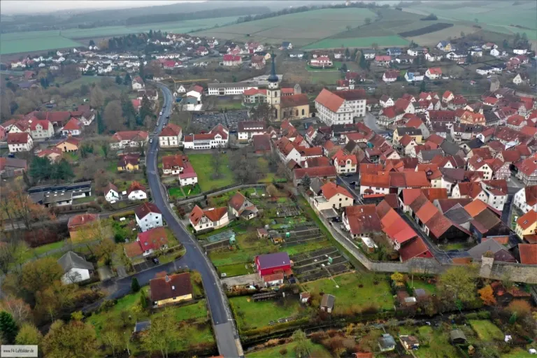
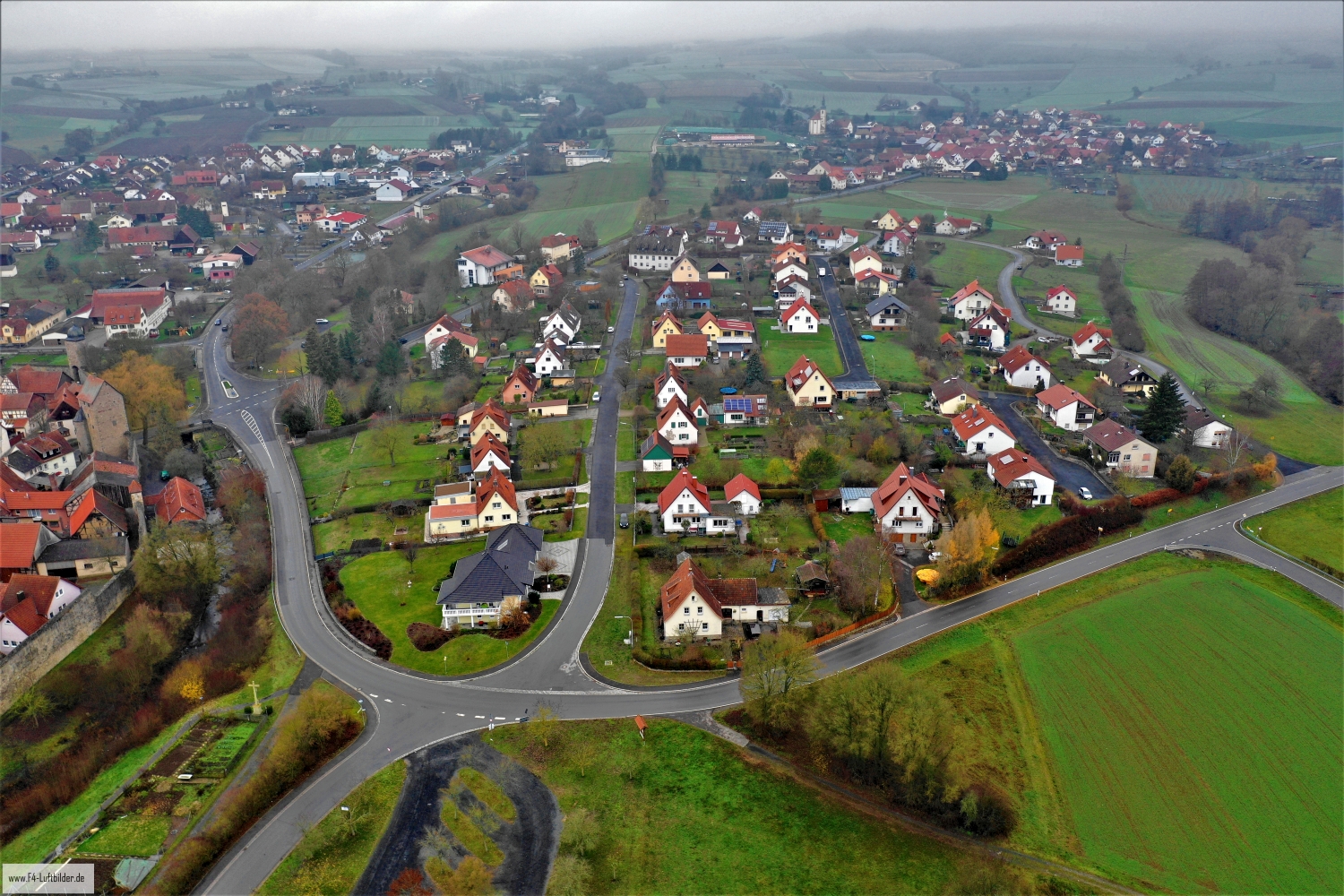
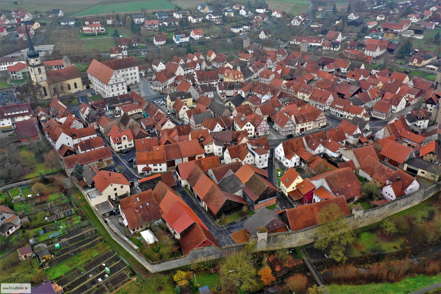
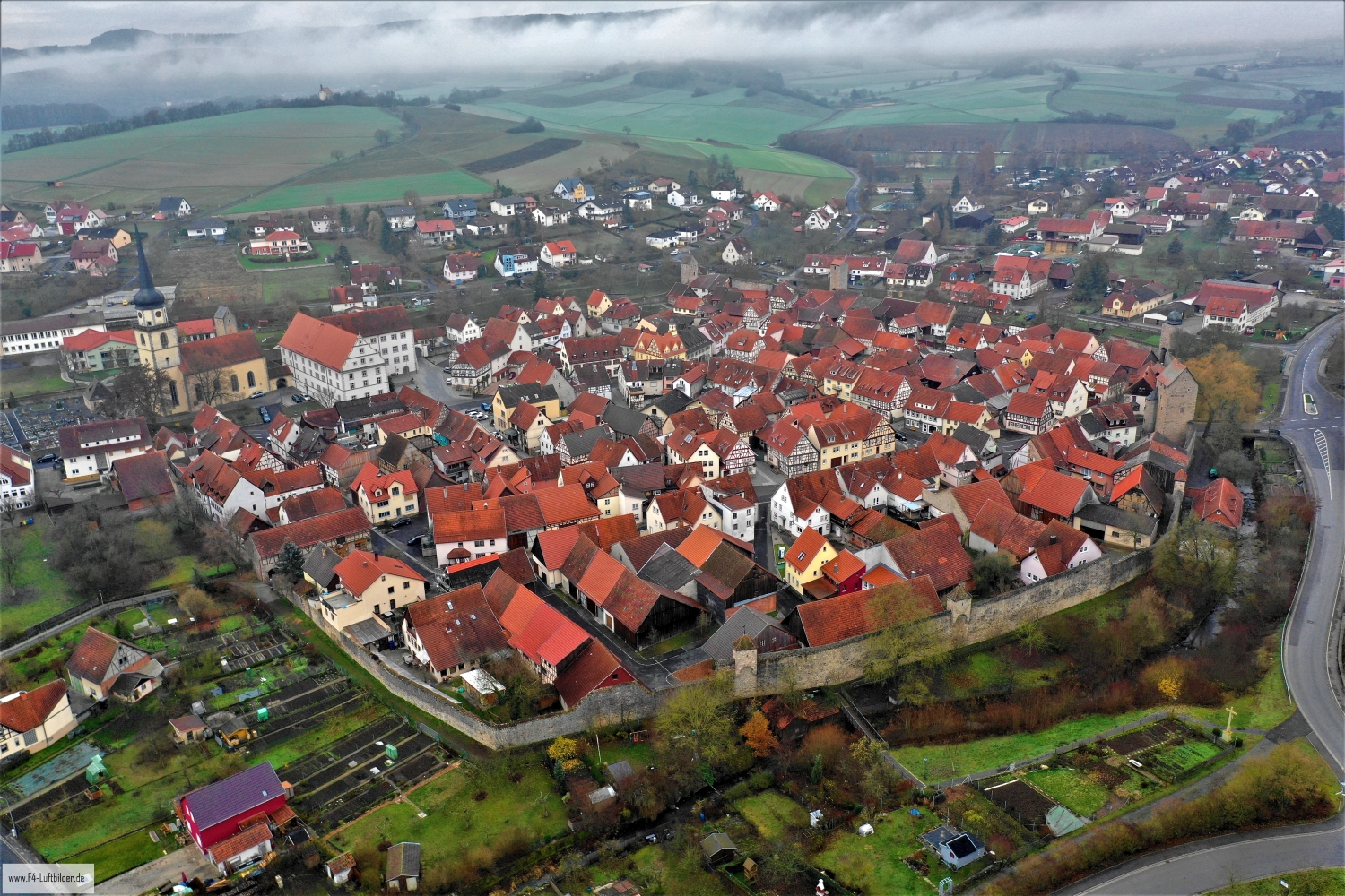
Fladen's roofs and green edges
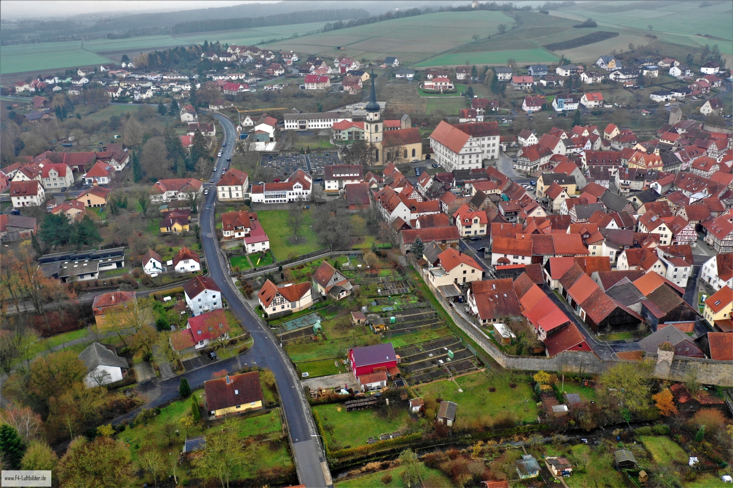
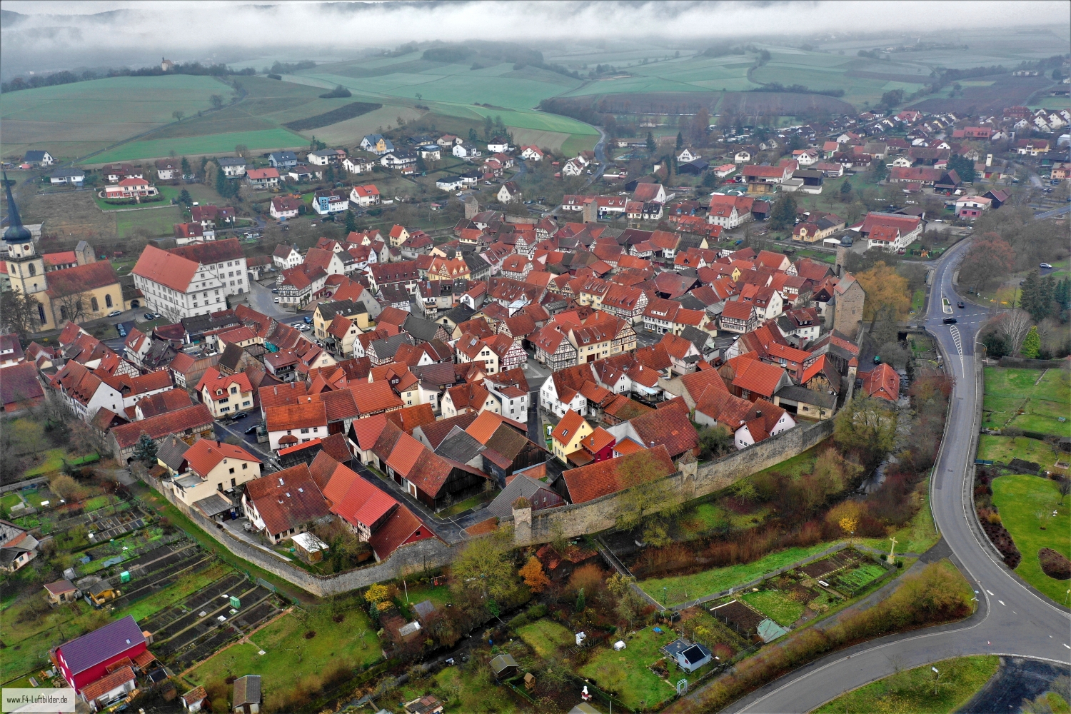
Fladen shows a dense red core in the overview. Lawns, individual tall trees and gardens form clearly visible gaps. Behind it, the corridors of the Rhön open up, giving the small city layout a generous landscape setting.
Green spaces in the town center
In Fladen, the change to the gardens is almost as interesting as the city center itself. Individual roofs remain visible between larger crowns as a connection to the outskirts.
The gaps between the houses reveal how tightly built the place is. An inner courtyard opens up the roof structure, a treetop covers part of it, and a wide street separates two blocks. Anyone who looks at the photo can follow these gaps and get a clearer picture than if they tried to identify each building individually. A particularly suitable view for a city portrait is one in which the view from a clearly visible roof can move on to the neighboring streets.
How the place changes from the inside out
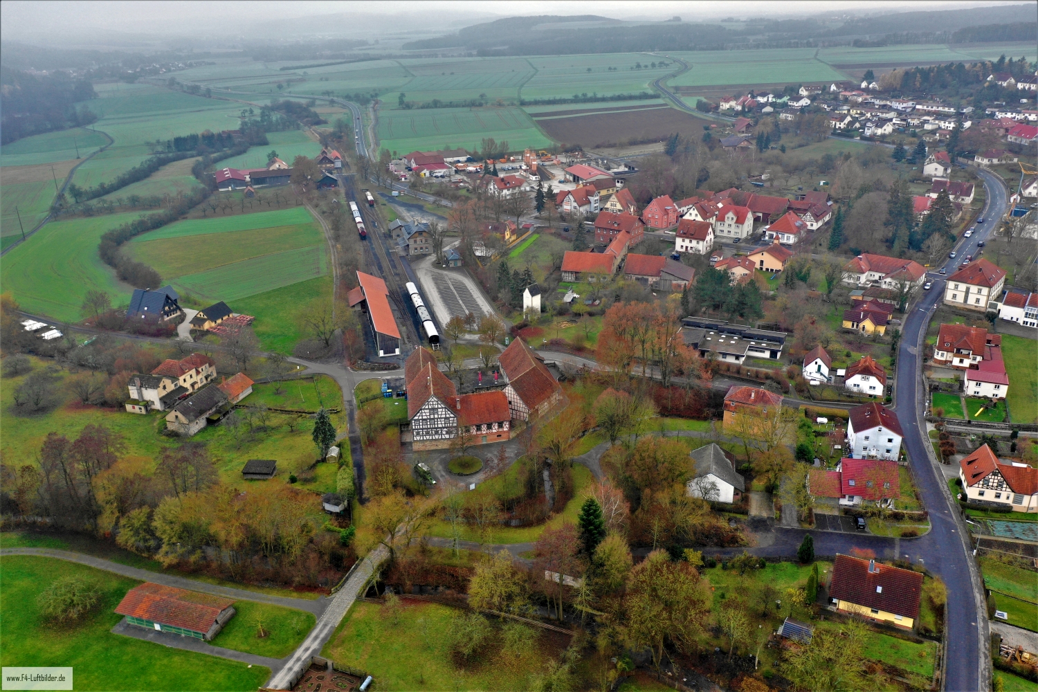
A village view needs a comprehensible starting point. This can be an intersection, a prominent group of houses or the end of a street. From there, the paths to the outskirts of town can be more easily followed in the image. When publishing for readers from outside, a brief location information in the caption helps. Resident viewers are often interested in another level. They are looking for the location of a house, the route of their route to school or a familiar open space between buildings.
What becomes visible on the edge of town
On the edge of town, several scales come together in a small section. On one side there are individual buildings with gardens and driveways. On the other hand, a single open area sometimes takes up as much space as several streets. This change can be shown in the picture over a common edge. A section in which the border between the two areas remains visible even when displayed narrowly is suitable for a website. The motif then retains its local reference even in the mobile view.
Warm tones within the series
If you browse through the 6 aerial photos, you can stay at shot 4 and shot 5 for a comparison. In the second view, warm reds and browns have more weight than in the first. Red-brown and yellowish areas are particularly noticeable next to cooler surfaces. What is interesting when comparing is whether they are concentrated on a single object or appear spread out across the entire view.
For Shot 6 and Shot 4 the same day is noted in the image files, December 5th, 2018. The recording times recorded are less than a minute apart. The exposure time was 1/80 second for the first of the images mentioned and 1/60 second for the second.
Prepare a cityscape for readers
For a city history, it can be informative to place the aerial photograph next to a street view. In one picture the roof is the reliable reference point, in the other it is often the entrance or the facade. The transition is best achieved via a corner, a square or a visible junction. An aerial photographer can take this connection into account when taking photos. In the printed photo series, a brief note about which side of the street the next photo was taken from is often enough.
Related motifs in the aerial photo archive
If you are looking for related motifs, you can start with Bad Bocklet. In the aerial photos, Bad Bocklet pushes itself to the edge of open agricultural land. It's worth taking a second look at Esselbach. Esselbach stretches over moving terrain in which arable land and forest come close to the houses.