 F4LUFTBILDER


Goldenstedt between water and fields
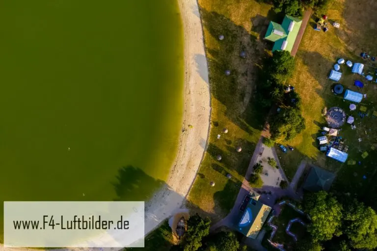
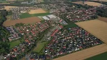
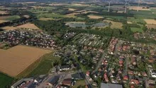
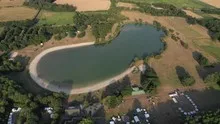
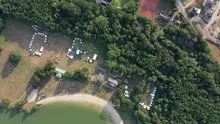
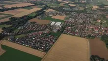
The Goldenstedter series shows the near edge of a body of water as well as open fields and loosely built-up settlement areas. The size differences are particularly clear in the overview. In a larger section, a single property becomes part of a widely branched network of paths.
The interplay of open spaces
In Goldenstedt, the water surface gives the view over the field a second focal point. A bank edge or a path helps to estimate the distance to the built-up area.
On a map, fields become similar areas. In the aerial photo they differ in color, structure and processing direction. A bright dirt path divides two plots, a row of trees interrupts the straight lines. In such places, the size of the open hallway is better understood than by just looking at the horizon. Color changes should initially be left as an observation. Which crop is growing in a field or when it was cultivated can often only be determined from a single photo with additional local knowledge.
The view over a calm body of water
On a lake, a large area can appear almost uniform. Only an arch on the bank, a boat or the reflection of a slope gives the eye something to hold on to. In aerial photography, the image often appears particularly spatial, as it contains a piece of land in the foreground in addition to the water. For a wide image, the water surface can have more space. In a narrow format, their connection to the shore should be retained so that the landscape becomes a recognizable place and not just any blue area.
How the place changes from the inside out
The center of a town can often be recognized from the air by the intersection of several streets. These lines diverge towards the open landscape, the properties become longer and the distances between the houses become larger. Anyone who chooses an image for a location portrait can pay attention to these transitions. A motif with a piece of the surrounding area tells where the place is. A narrower shot, on the other hand, gives people who live or have lived here more opportunities to find familiar buildings in the picture.
Shades of green in the image
To switch between two of the 16 aerial photos, shot 11 and shot 16 can be called up directly in the gallery. In the first image, green areas make up a smaller part of the section than in the second. It's worth tracking the green areas individually. Only in connection with neighboring forms does it become clear what is in the foreground and what belongs to the more distant surroundings.
Shot 16 and Shot 1 are among the views from July 19, 2019. According to the camera's time information, there are approximately 10 minutes between the two images. ISO 100 and an exposure time of 1/320 second are recorded for both files.
In the Aerial Videos section there are 5 clips for this article. An example is “Goldenstedt in Lower Saxony from the air”. Its preview leads directly to the video in the aerial photographer's Adobe Stock portfolio.
A townscape for chronicle and community
Anyone who wants to show their family their place of origin often first looks for their own house in the aerial photo. When publishing for the community, the task is different. Even a non-local reader should be able to easily follow the path from the core to the landscape. An aerial photographer can start from the same terrain for both purposes and choose the section differently. What counts for the family portrait is the recognizability of a specific property. When it comes to the townscape, however, it is worth adding a little more surrounding area, even if it means that the individual roof appears smaller.
Related motifs in the aerial photo archive
Two additional views can be used in the archive for comparison. The first can be found under Twistringen. In Twistringen you can see a striking amount of green between the houses. The second belongs to the article Bassum. From above, Bassum appears as a series of residential streets, leafy properties and fields further out.
Aerial photos Goldenstedt
Aerial photography & aerial videos
Your aerial photographer for Goldenstedt and the surrounding area
F4 Luftbilder – Your specialist for aerial photography and aerial photography in Goldenstedt and the surrounding area. Benefit from our many years of experience and technical equipment and let us convince you of quick implementation and unbureaucratic processing. We look forward to inspiring you with breathtaking aerial photographs and aerial photos in Goldenstedt and the surrounding area.
Services
Aerial photos in 4K resolution
Aerial videos in 4K resolution
Individual perspective wishes
Including image editing
All necessary permits and insurance
Free travel to Goldenstedt and the surrounding area
Your advantages
Direct contact person
No appointment required
Unbureaucratic & short-term processing
Pay conveniently by invoice: bank transfer & Paypal
Delivery of images conveniently via download
Order processing within 10 days
Aerial photography & aerial photos for Goldenstedt and the surrounding area
Real Estate & Land
Real Estate
We present your property in Goldenstedt and the surrounding area perfectly. Discover your property from a completely new perspective and present your property in a modern and contemporary way. Ideal for selling your own house, for real estate agents & architects, as a gift or just for yourself.
Plots
Show your entire property in Goldenstedt and the surrounding area with high-resolution aerial photos from above and give potential buyers an overall overview of your property. Ideal for architects, property sellers and real estate agents in Goldenstedt and the surrounding area. With aerial photos you also ensure increased visibility in real estate search engines.
 License on Adobe Stock

Companies & self-employed people
Company
Boost your business in Goldenstedt and the surrounding area: Present your company from a completely new perspective. With aerial photos of your company in Goldenstedt and the surrounding area you can highlight your product/service. Ideal image material for your company's website and social media channels.
Self-employed people
Present your products/services in Goldenstedt and the surrounding area from a bird's eye view. Use impressive aerial photography for your marketing and stand out from the crowd. Feed your local social media channels in Goldenstedt and the surrounding area with impressive visual media and win new customers.
Use the contact form and send us your ideas and specifications for aerial photography in Goldenstedt and the surrounding area. We will contact you immediately and make you an offer that will convince you and implement your wishes in detail. We would be happy to inspire you with impressive aerial photographs and aerial photos in Goldenstedt and the surrounding area.
Request a quote