 F4LUFTBILDER
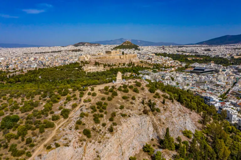


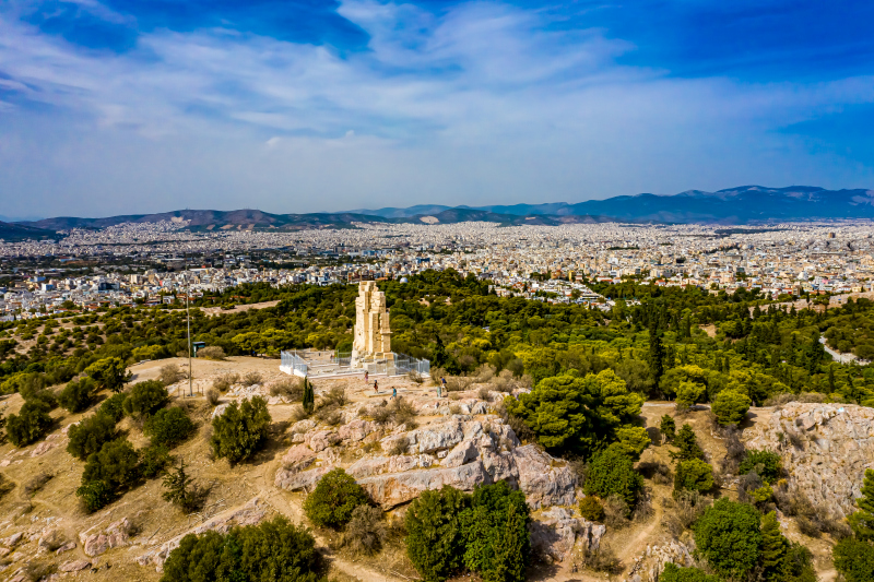
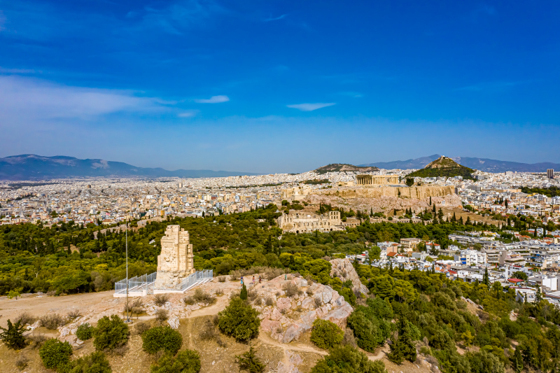
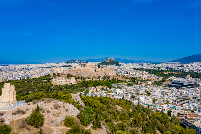
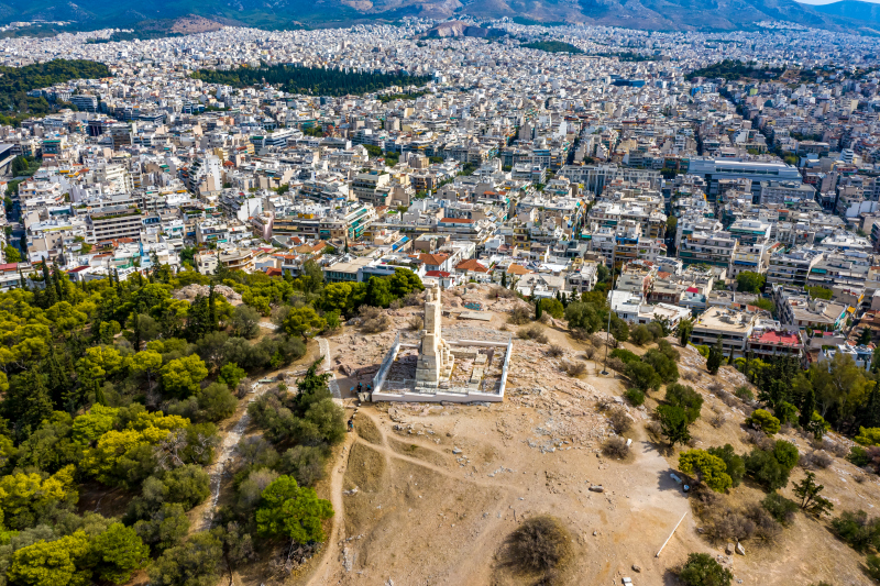
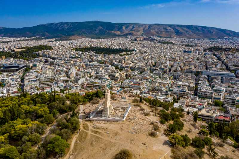
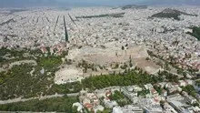
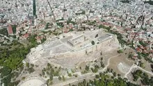
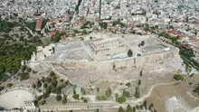
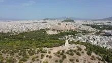
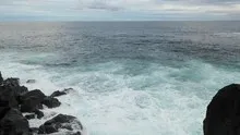

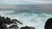

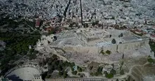
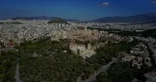
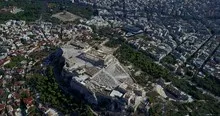
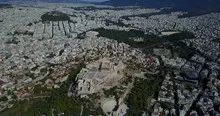
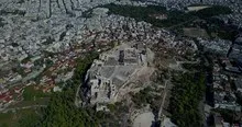
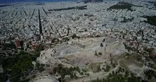
Athens around the rock of the Acropolis
The rock of the Acropolis interrupts the densely built-up urban area of Athens. In the overview, this free, bright height is the first thing you notice, and only then are the buildings around it. With a narrower section, paths on the slope and the streets at the bottom can be related to each other.
The city rock in the sea of houses
In Athens, the Acropolis Rock divides the densely built-up urban area from a distance. Its open space differs even on a small scale from the sea of houses around it.
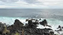
Rock surfaces are often harder to read in an aerial photograph than their sharp outline suggests. A dark area can be a deep crevice or just in shadow. The connection of several visible edges provides information. Where they converge and cover a surface, a spatial jump is understandable. A location with clear rock contours is suitable for publication with smaller images. In a larger format, the eye can wander more over the finer differences in the surface.
What the roofs reveal about the floor plan
If you look at it at an angle, the houses not only show their roofs, but also their facades of different widths. This gives the motif more depth than in the pure top view. Even the change from a low neighboring building to a taller building reveals something about the gradation of the place. Such a view is particularly useful for a local chronicle if the caption indicates the starting point of the view. Readers can then follow the rows of houses themselves to the edge of the picture.
The distance in the composition of the image
The position of the horizon determines how much space the landscape receives. If it is high in the image, more details can be seen on the ground. A lower horizon gives greater weight to the sky and weather. Both options can accurately describe a place if the connection to the main motif remains recognizable. When comparing two aerial photos, it is worth taking a look at the foreground. Often it is an inconspicuous piece of land at the bottom edge of the picture that conveys a sense of the vastness.
The distribution of blue tones
If you browse through the 45 aerial photos, you can stay at shot 7 and shot 38 for a comparison. In the first excerpt, shades of blue play a smaller role. In the second shot, blue areas take up more space. Blue can extend over a large contiguous area or only appear in individual parts. What also counts for the effect is whether these areas extend to the edge of the picture or surround the main subject.
For Shot 1 and Shot 45, the same day is noted in the image files, October 4th, 2020. The recording times recorded are approximately 16 minutes apart. The exposure time was 1/1000 second for the first of the images mentioned and 1/640 second for the second.
The Aerial Videos section supplements the photos with 17 clips. The aerial photographer's photographs linked there include “Athens from the Air”. The relevant video page on Adobe Stock can be opened using the respective preview.
Show the proportions of the landscape
For a series of natural history images, an observable form is the best starting point. Where does a surface end, what structure continues next to it, and how much environment do you need to tell the two apart? The questions can be followed directly from the photo. Statements about origin, depth or age, however, require additional sources. An aerial photographer can capture the visible traces and draw attention to a detail. In the later caption you can then clearly explain what can be seen in the photo and what comes from the technical classification.
Related motifs in the aerial photo archive
If you are looking for related motifs, you can start with Italy – Corniglia. Corniglia sits high above the sea on a protruding stretch of the Ligurian coast. It's worth taking a second look at Matera. At Matera, the deep gorge directly approaches the densely built-up city.