 F4LUFTBILDER


Lake Garda between steep banks
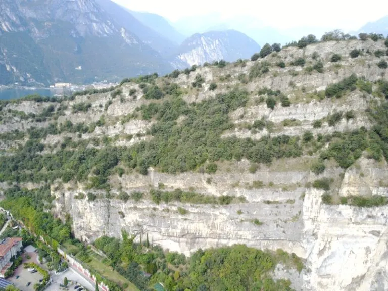
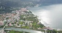
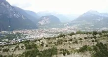
On Lake Garda, bright rock faces rise directly above the water surface. In hazy views the other bank almost disappears completely. A shot from a closer slope still retains depth because the rock, lake and distant view form three easily distinguishable levels.
The lake in the haze
On Lake Garda, the image is less influenced by the surface of the water than by the relationship to the steep banks. Clouds can obscure certain parts of the slope and make others more visible.
On a lake, a large area can appear almost uniform. Only an arch on the bank, a boat or the reflection of a slope gives the eye something to hold on to. In aerial photography, the image often appears particularly spatial, as it contains a piece of land in the foreground in addition to the water. For a wide image, the water surface can have more space. In a narrow format, their connection to the shore should be retained so that the landscape becomes a recognizable place and not just any blue area.
The shape of the rock in the light
Rock surfaces are often harder to read in an aerial photograph than their sharp outline suggests. A dark area can be a deep crevice or just in shadow. The connection of several visible edges provides information. Where they converge and cover a surface, a spatial jump is understandable. A location with clear rock contours is suitable for publication with smaller images. In a larger format, the eye can wander more over the finer differences in the surface.
What role does visibility play?
When haze or clouds weaken the distance, the closer landscape stands out all the more. Colors and contrasts change with distance. For a calm landscape portrait, this may be exactly what you want. When it comes to the spatial assignment of a specific motif, at least one prominent point should remain clearly recognizable. A caption can indicate the visibility conditions. It makes it understandable why part of the landscape is only hinted at and where the view can begin.
Differences in brightness
To switch between two of the 18 aerial photos, shot 10 and shot 1 can be called up directly in the gallery. The first shot is darker overall. In the second, brighter areas of the image take up more space. A bright foreground draws the eye to a different place than a large, dark image area. This can be easily followed when switching back and forth between views.
Shot 10 and Shot 1 are among the views from October 4, 2017. According to the camera's time information, there are approximately 46 minutes between the two images. The exposure time for the first of the images mentioned was 10/11751 second and for the second 39/10903 second.
In the Aerial Videos section there are 2 clips for this article. An example is “Lake Garda”. Its preview leads directly to the video in the aerial photographer's Adobe Stock portfolio.
Show the proportions of the landscape
For a series of natural history images, an observable form is the best starting point. Where does a surface end, what structure continues next to it, and how much environment do you need to tell the two apart? The questions can be followed directly from the photo. Statements about origin, depth or age, however, require additional sources. An aerial photographer can capture the visible traces and draw attention to a detail. In the later caption you can then clearly explain what can be seen in the photo and what comes from the technical classification.
Related motifs in the aerial photo archive
Two additional views can be used in the archive for comparison. The first can be found under Italy – Tuscany. The Tuscany series shows, among other things, a place whose roofs rise from a low-lying layer of clouds. The second belongs to the article Maloja am Silsersee. At the Maloja Pass, the direction of view changes with every bend in the road.
Aerial photos of Lake Garda
Your aerial photographer across Europe
Request a free quote