 F4LUFTBILDER


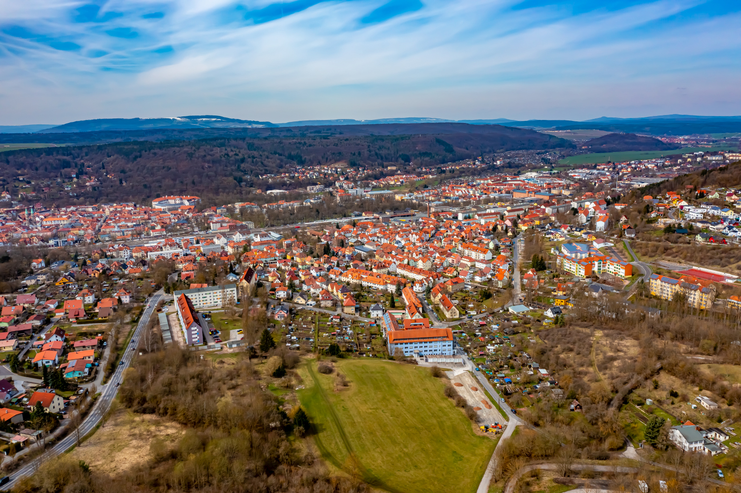
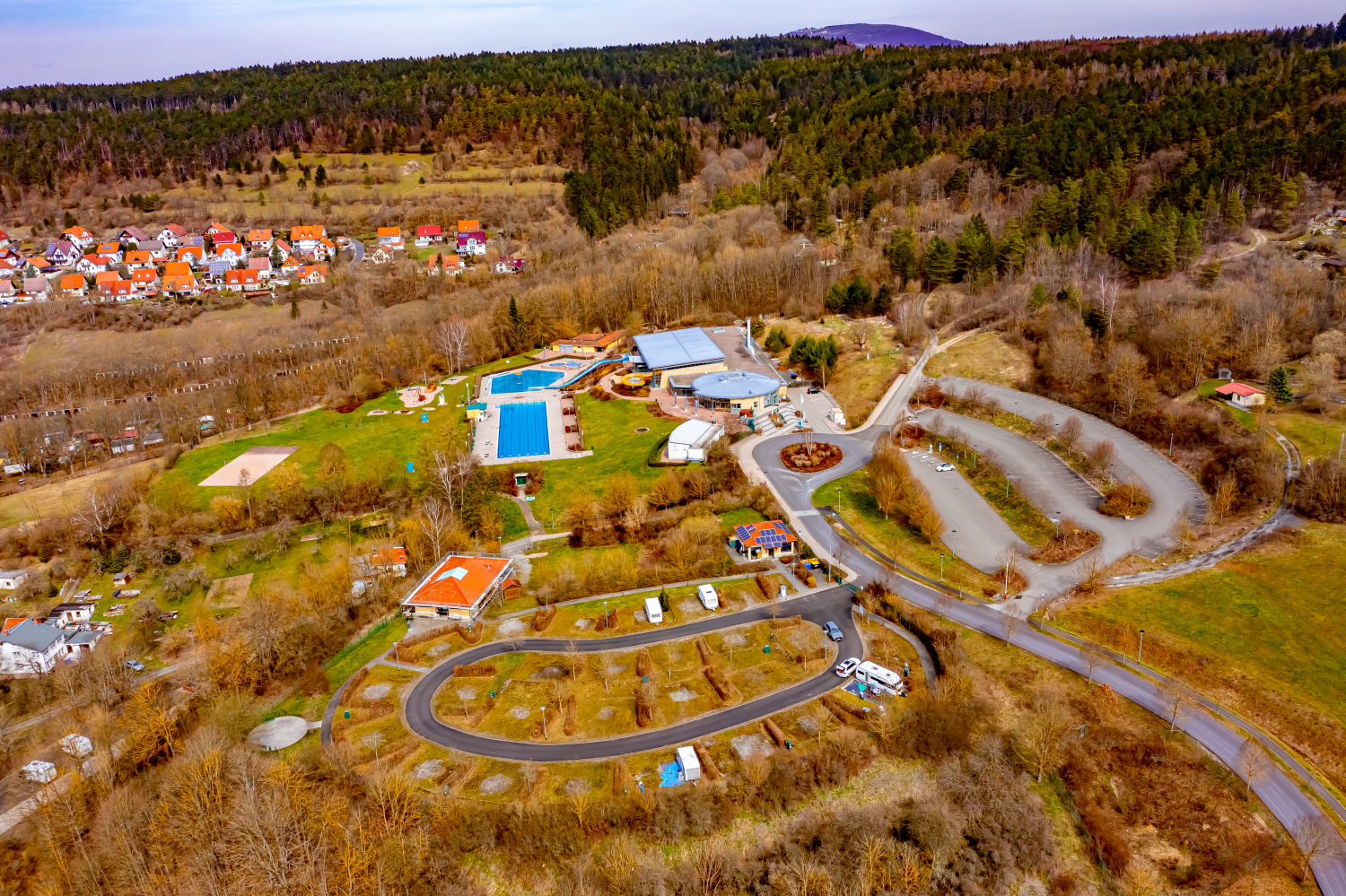
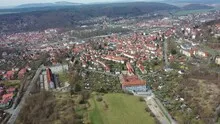
Meiningen above the city center
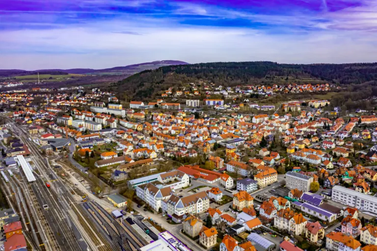
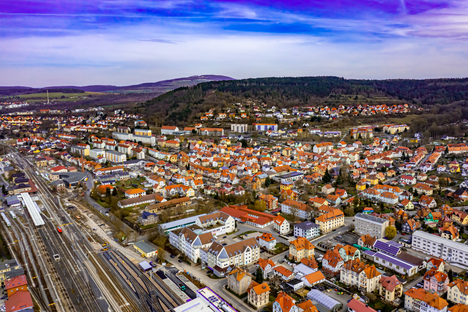
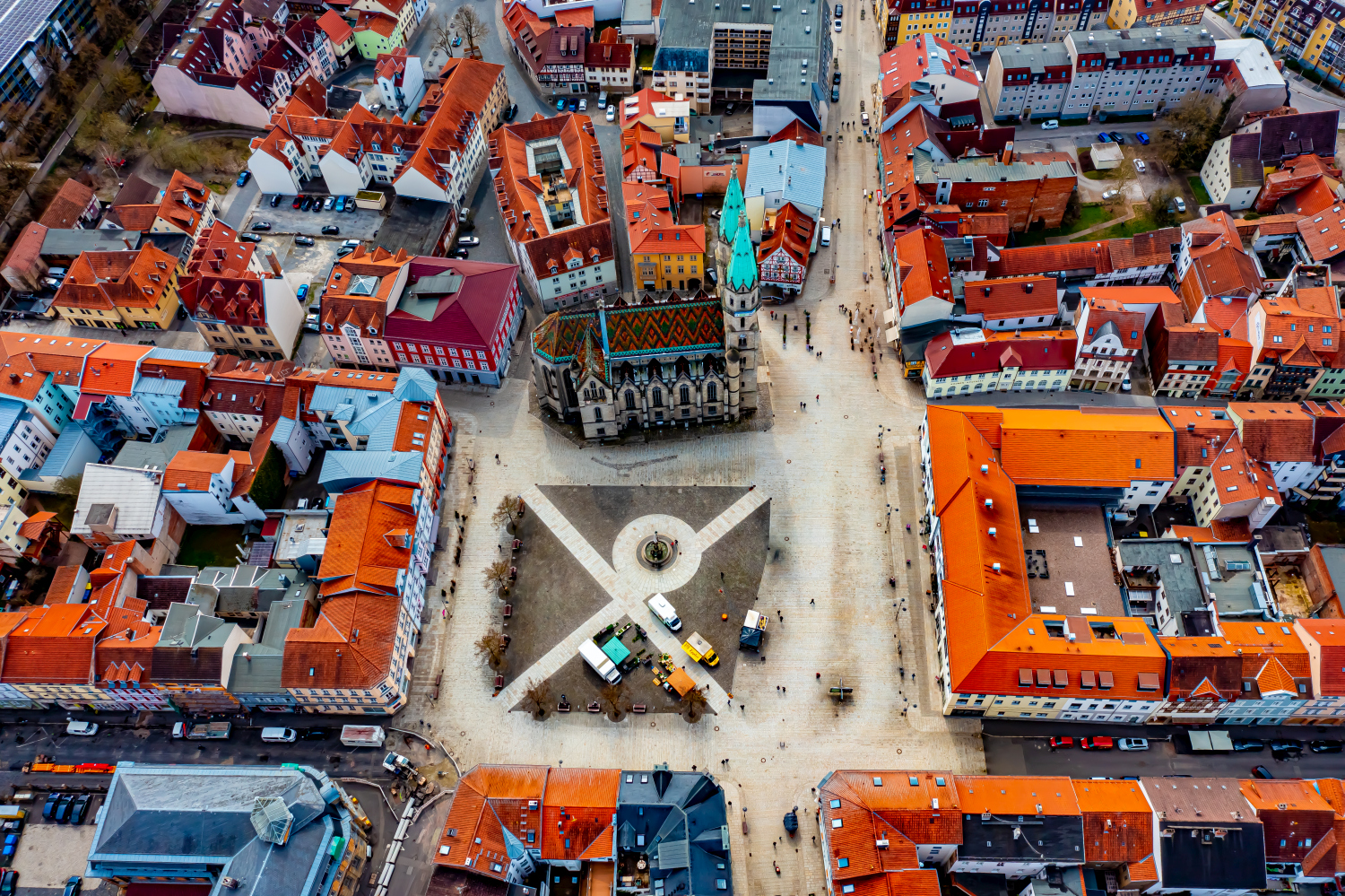
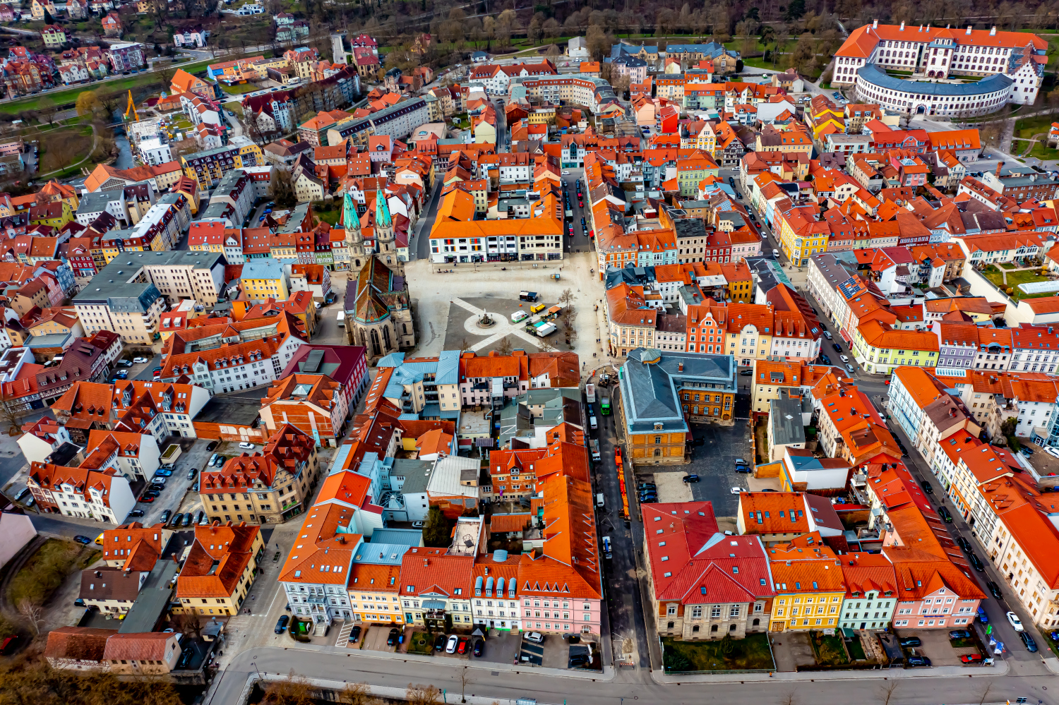
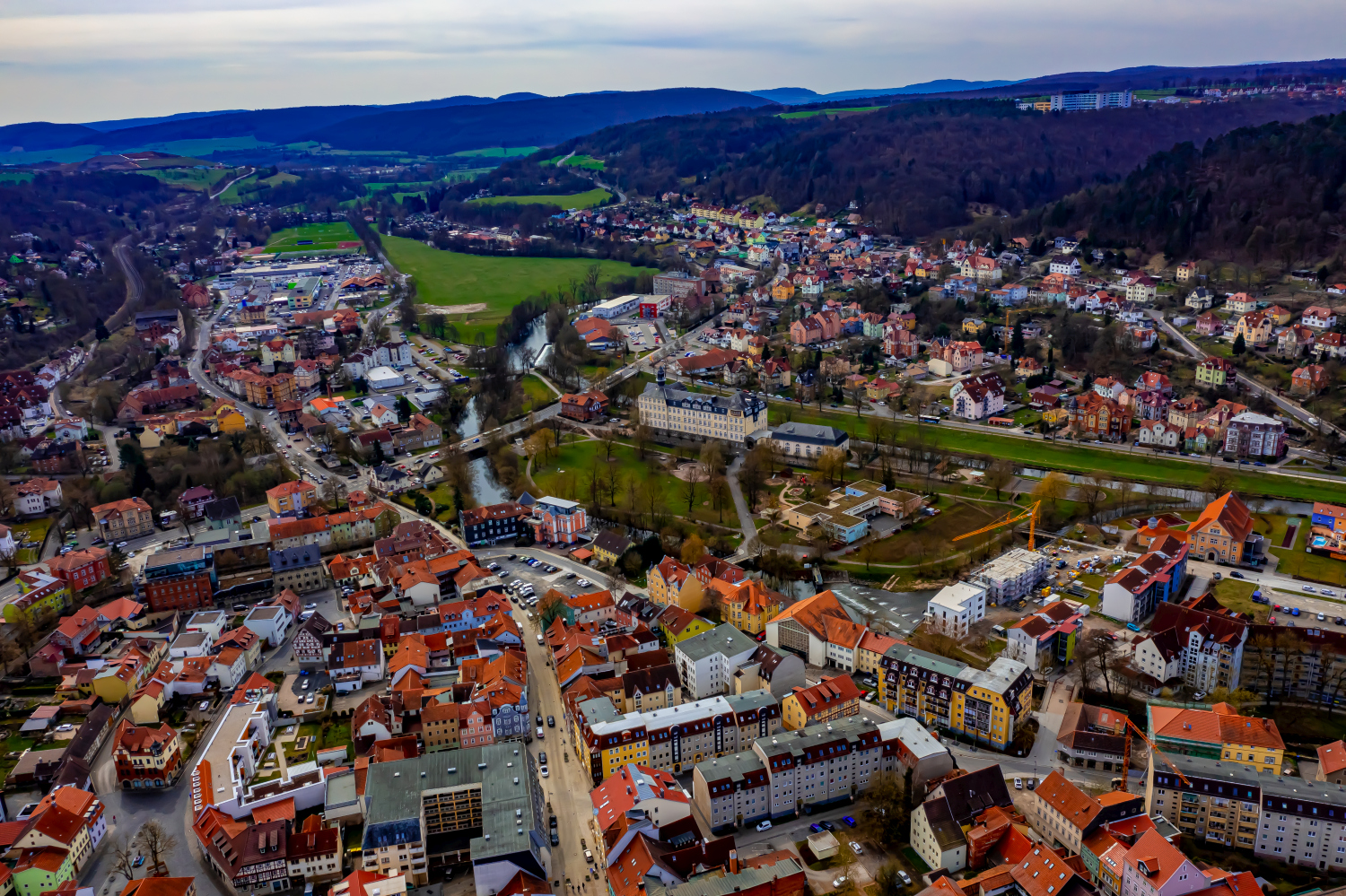
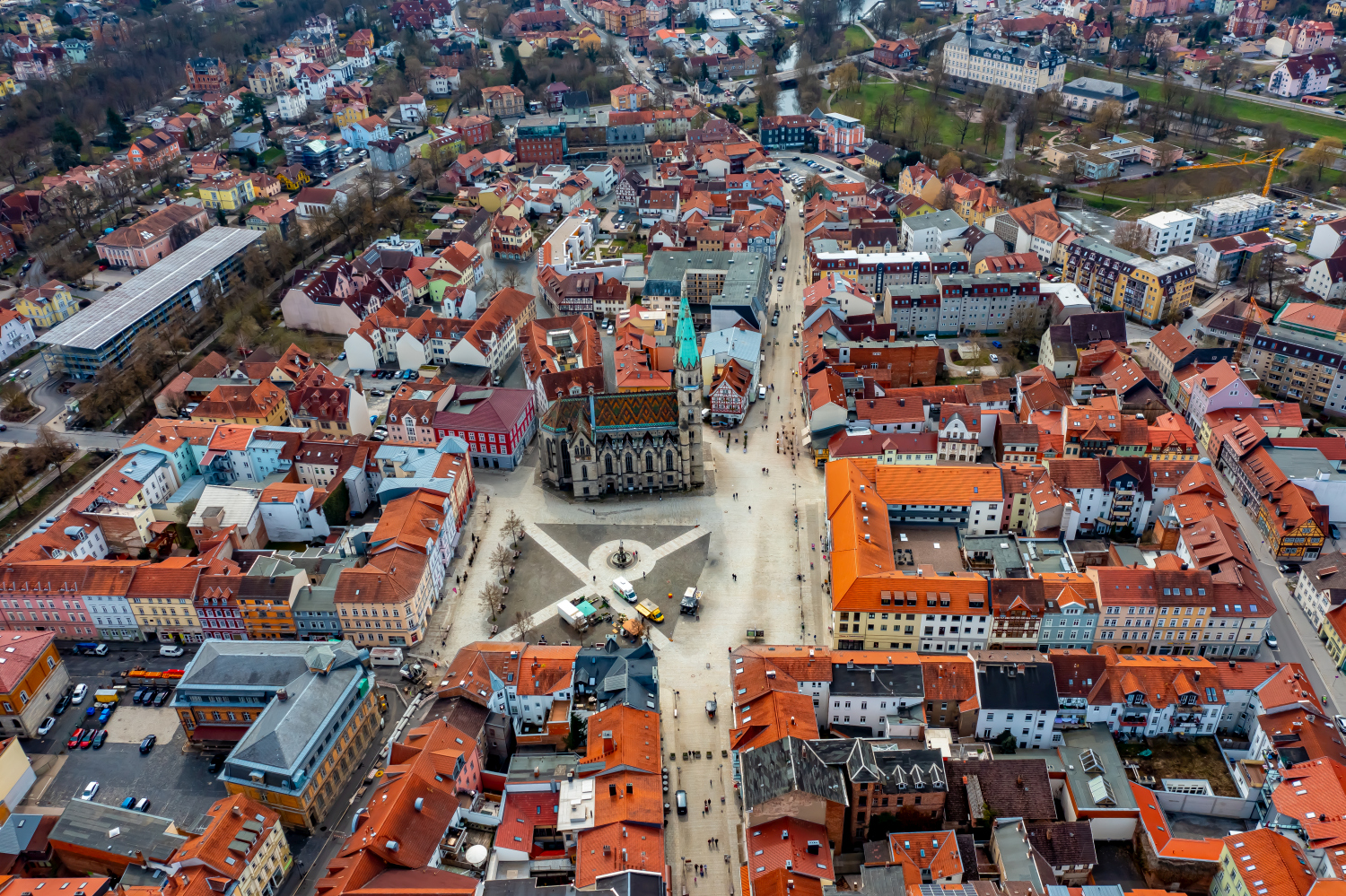
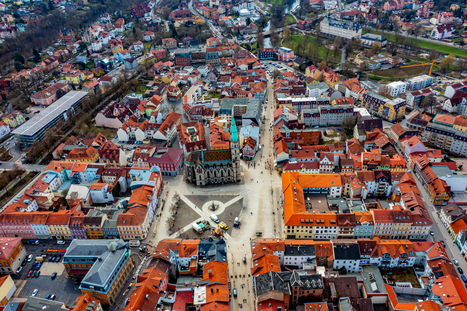
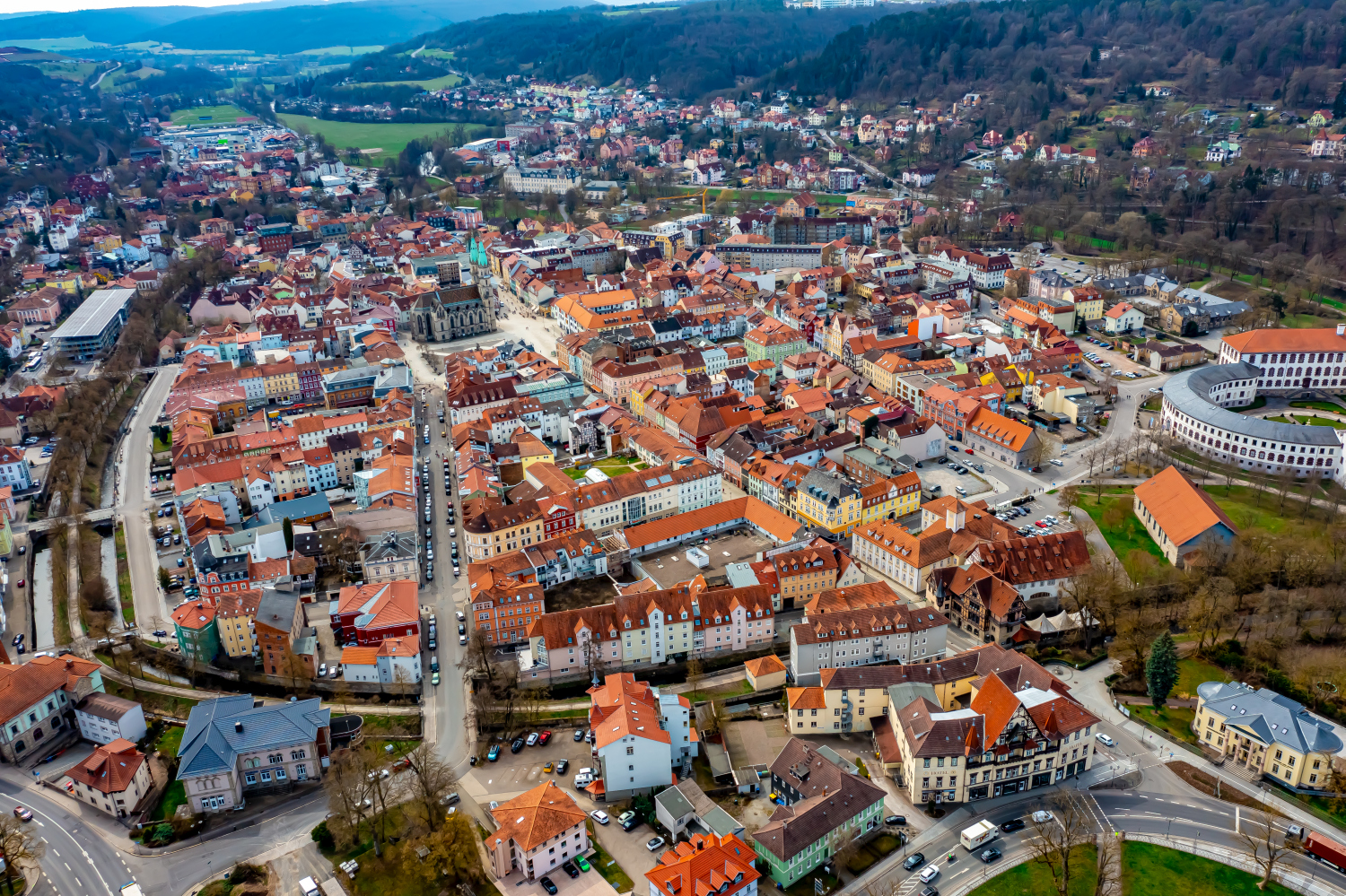
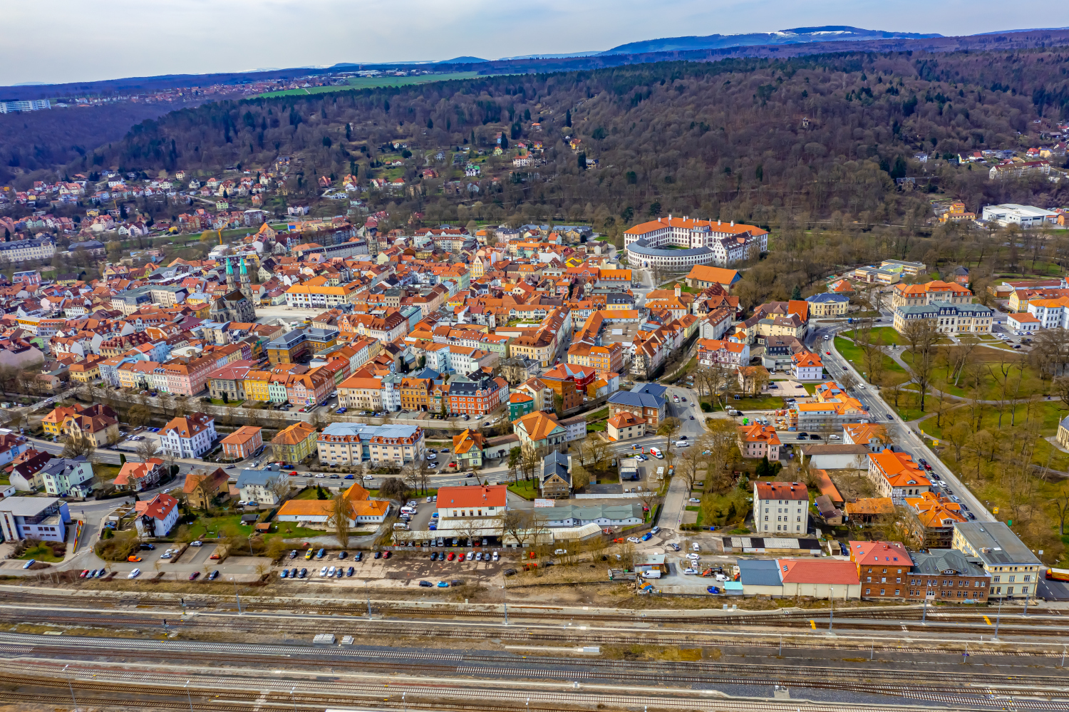
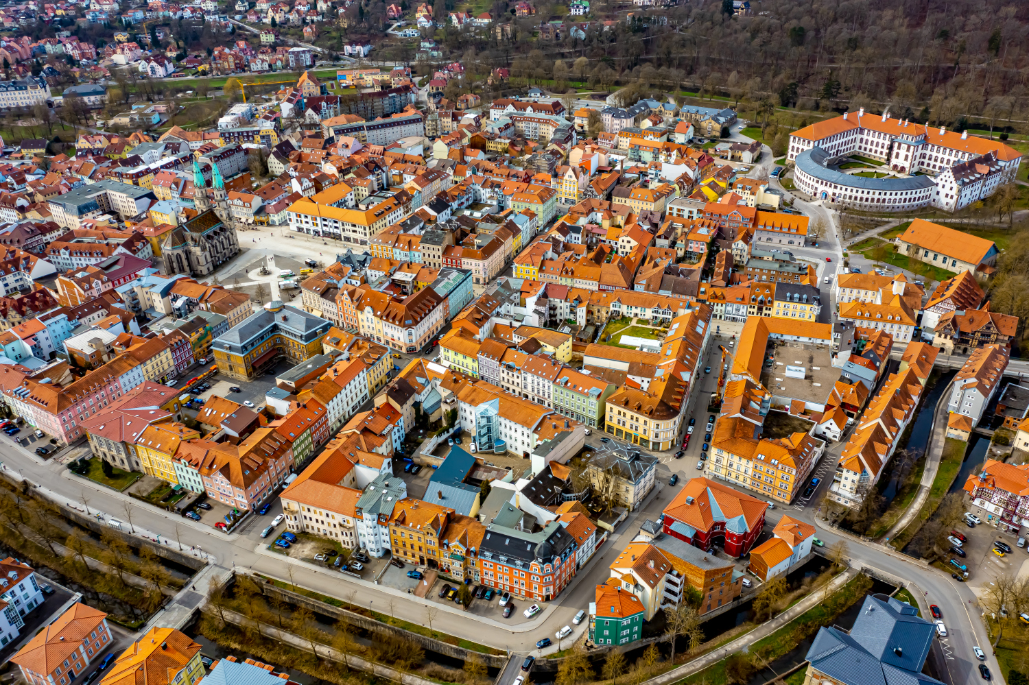
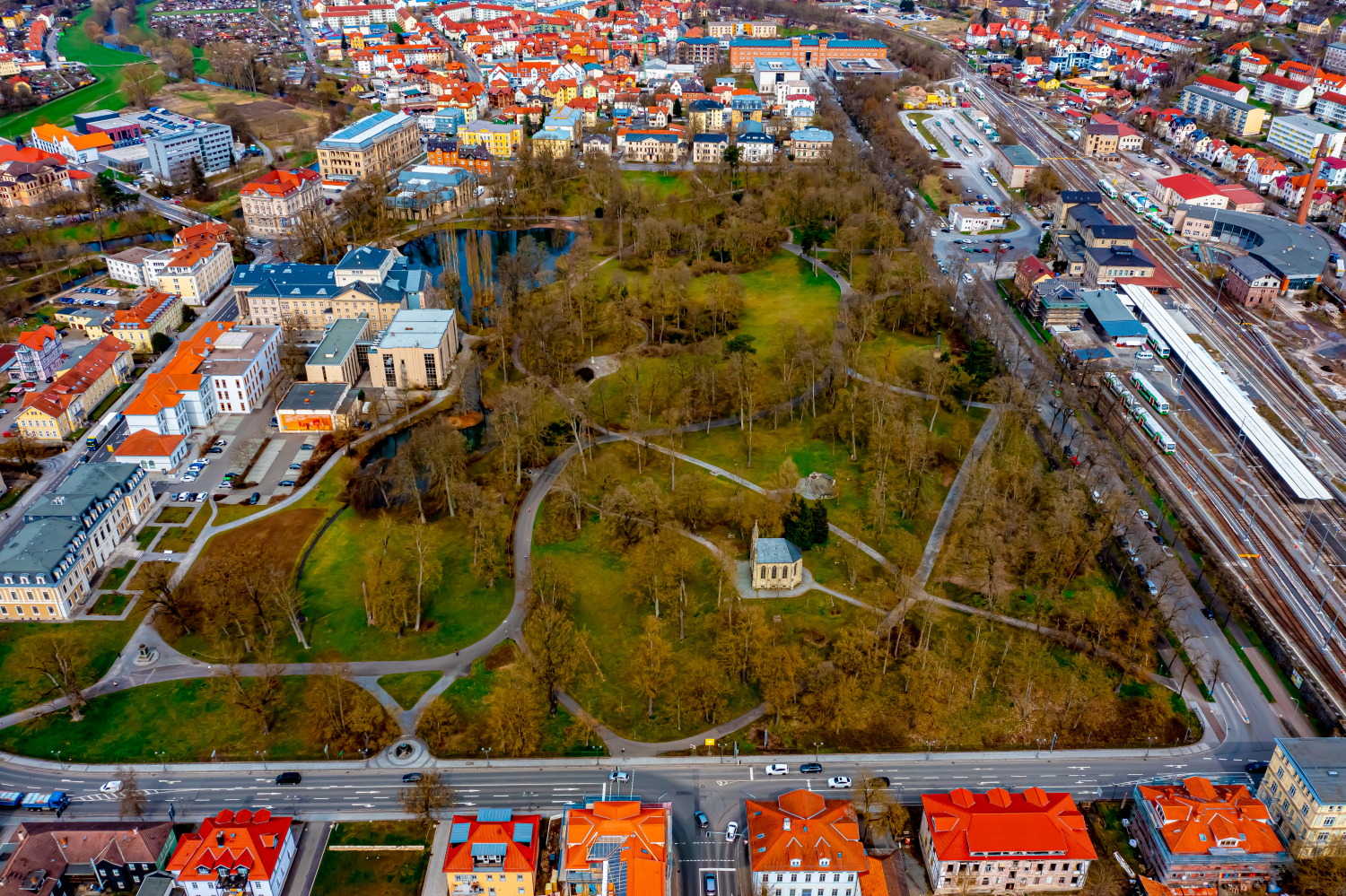
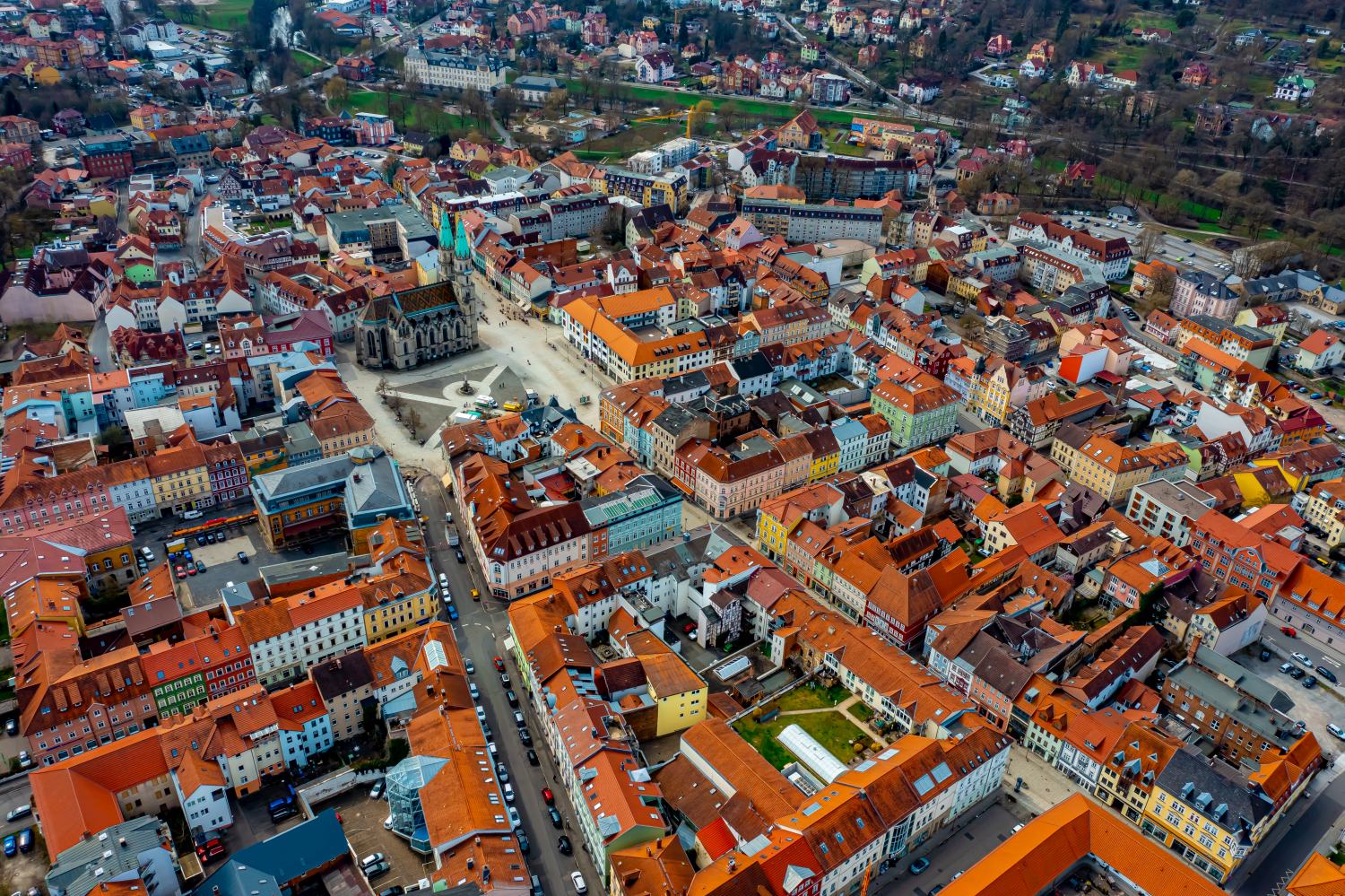
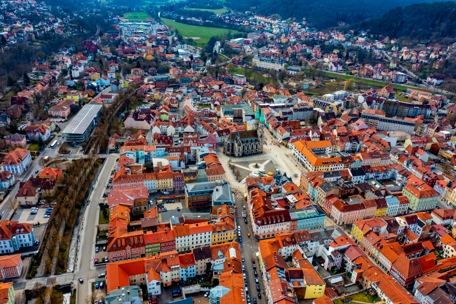
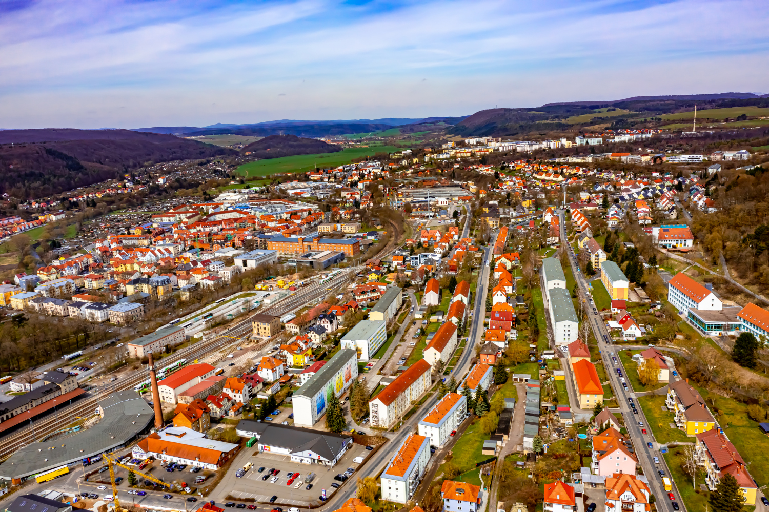
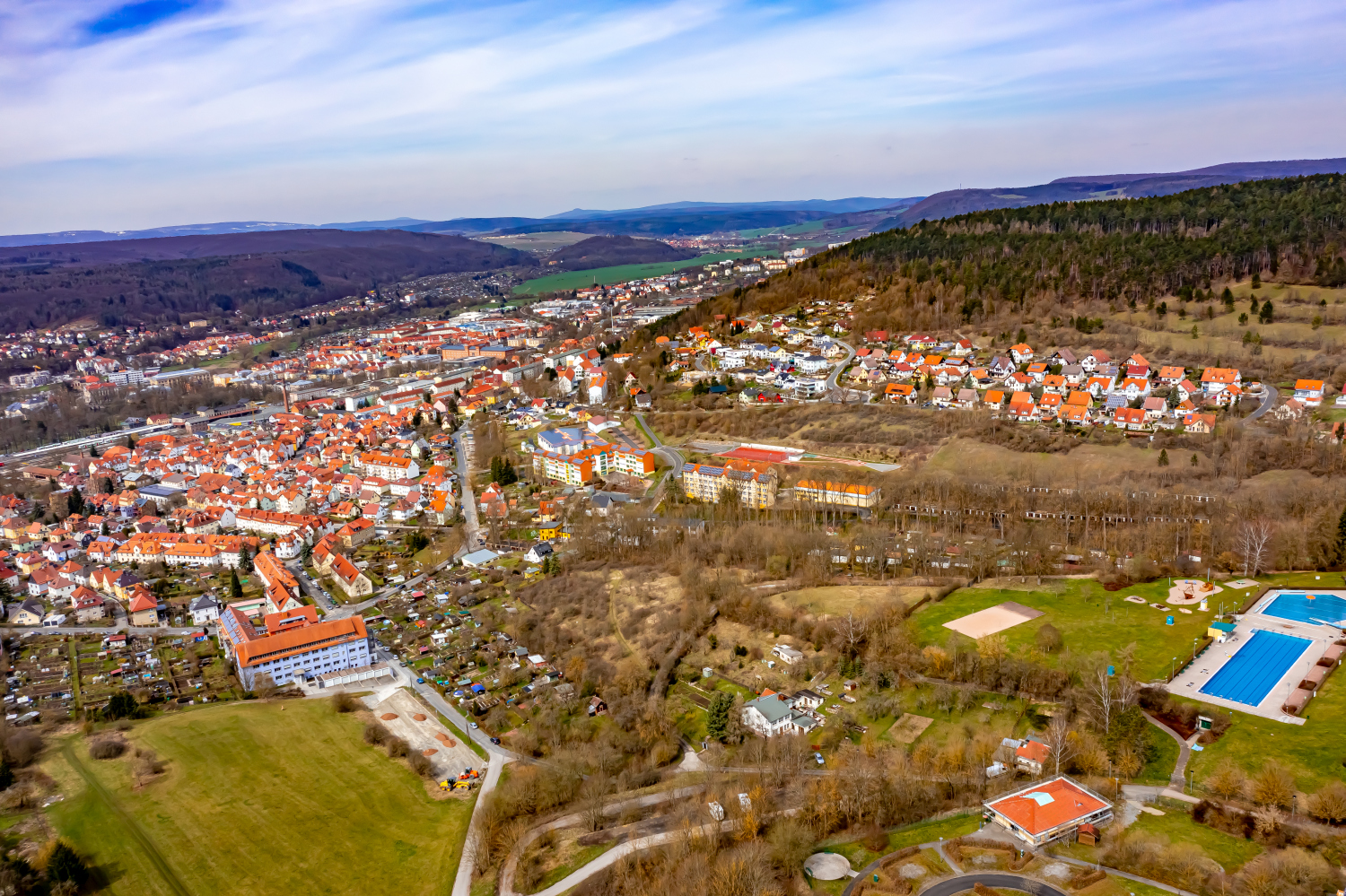
The aerial photos of Meiningen show a dense network of red roofs, larger buildings and green interior surfaces. From the city center, the view can be seen all the way to the wooded slopes. The structure is particularly clear where a park faces the closed roof areas.
Parks and roofs in the Werra Valley
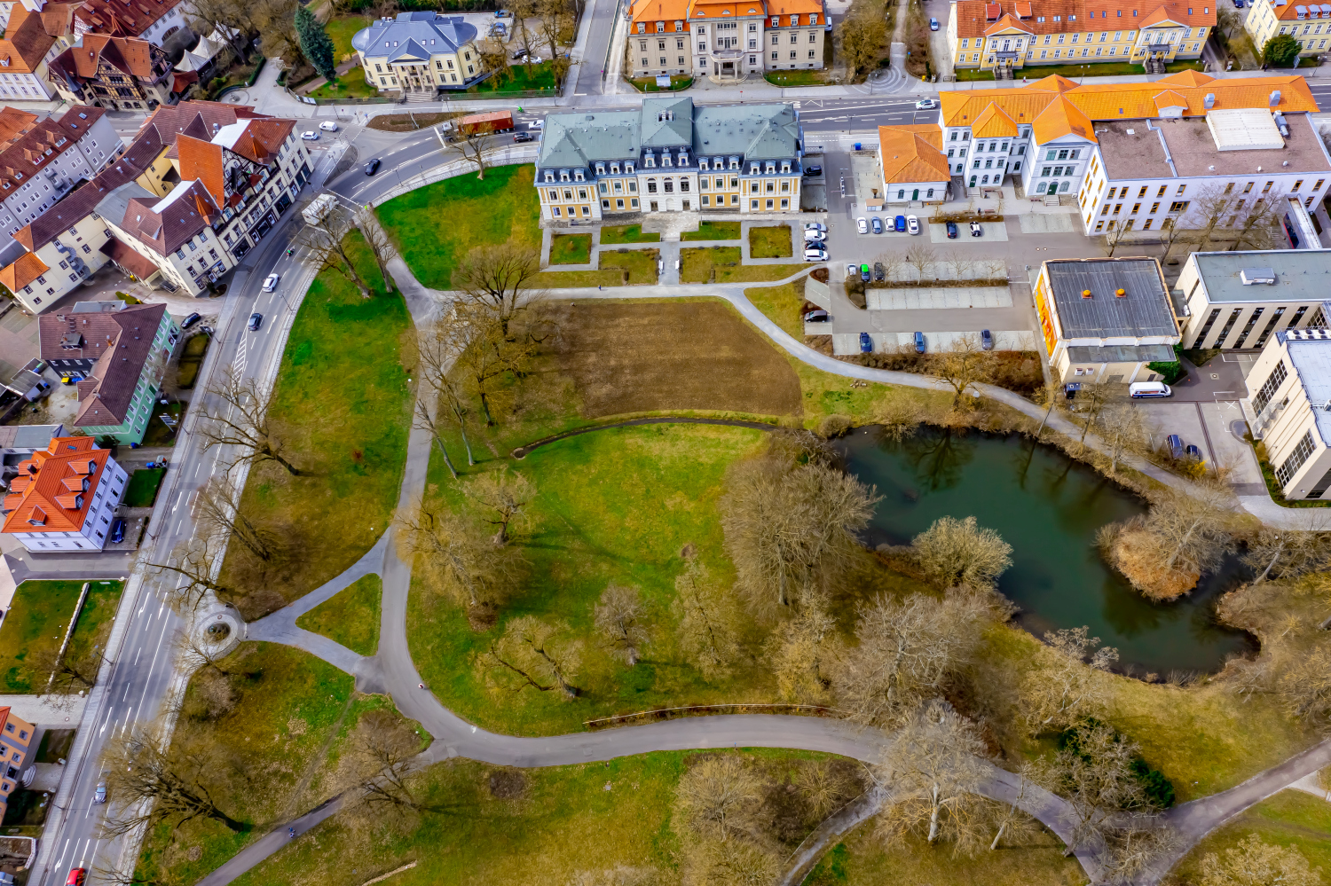
In Meiningen, green spaces interrupt the dense roof structure. For a coherent cityscape, a section is useful in which the transition between houses, paths and treetops is visible.
The gaps between the houses reveal how tightly built the place is. An inner courtyard opens up the roof structure, a treetop covers part of it, and a wide street separates two blocks. Anyone who looks at the photo can follow these gaps and get a clearer picture than if they tried to identify each building individually. A particularly suitable view for a city portrait is one in which the view from a clearly visible roof can move on to the neighboring streets.
The open spaces between the buildings
In a green area, the view from above shows, in addition to the trees, primarily the open spaces. A path can change direction in an open area, and dense vegetation can almost completely obscure a building. The system is easier to understand when they interact together than through individual trees or roofs. If you want to explain a park area in a picture, look for a place where the path, open space and vegetation come together. It offers an easy-to-read introduction to the larger floor plan.
Recognize the shape of the valley area
The location in a valley is made clear in the aerial photo by the lateral boundaries. A nearby slope pushes forward in front of a distant one, and the valley floor opens up in between. If the section is too narrow, it can easily give the impression of a flat surface. A shot with a bit of a slope at the edge of the image preserves the context. Orientation is particularly successful when there is also a familiar size comparison, such as a street or a house. The eye can then better assess the depth between the individual landscape levels.
Warm tones within the series
To switch between two of the 19 aerial photos, shot 4 and shot 19 can be called up directly in the gallery. In the second view, warm reds and browns have more weight than in the first. Red-brown and yellowish areas are particularly noticeable next to cooler surfaces. What is interesting when comparing is whether they are concentrated on a single object or appear spread out across the entire view.
Shot 19 and Shot 1 are among the views from April 9, 2021. According to the camera's time information, there are approximately 11 minutes between the two images. The exposure time was 1/320 second for the first of the images mentioned and 1/500 second for the second.
The Aerial Videos section supplements the photos with 3 clips. The aerial photographer’s photographs linked there include “Meiningen from the air”. The relevant video page on Adobe Stock can be opened using the respective preview.
Prepare a cityscape for readers
For a city history, it can be informative to place the aerial photograph next to a street view. In one picture the roof is the reliable reference point, in the other it is often the entrance or the facade. The transition is best achieved via a corner, a square or a visible junction. An aerial photographer can take this connection into account when taking photos. In the printed photo series, a brief note about which side of the street the next photo was taken from is often enough.
Related motifs in the aerial photo archive
Two additional views can be used in the archive for comparison. The first can be found under Suhl. In the Suhl series, the snow highlights individual roof surfaces and slope areas. The second belongs to the article Arnstadt. In Arnstadt the squares are bright interruptions in the dense structure of the roofs.
Aerial photos Meiningen
Click here to insert your own text
Aerial photography & aerial videos
Your aerial photographer for Meiningen and the surrounding area
F4 Luftbilder – Your specialist for aerial photography and aerial photography in Meiningen and the surrounding area. Benefit from our many years of experience and technical equipment and let us convince you of quick implementation and unbureaucratic processing. We look forward to inspiring you with breathtaking aerial photographs and aerial photos in Meiningen and the surrounding area.
All pictures & videos | 25€Buy now >>>
Services
Aerial photos in 4K resolution
Aerial videos in 4K resolution
Individual perspective wishes
Including image editing
All necessary permits and insurance
Free travel to Meiningen and the surrounding area
Your advantages
Direct contact person
No appointment required
Unbureaucratic & short-term processing
Pay conveniently by invoice: bank transfer & Paypal
Delivery of images conveniently via download
Order processing within 10 days
Request a quoteAerial photos of Meiningen: A breathtaking sight
The city of Meiningen from the air
Meiningen is a city in Thuringia that is worth a visit due to its many sights and beautiful landscape. When you look at the city from the air, you can immediately see why it is so popular. The city of Meiningen is located on the edge of the Thuringian Forest and therefore offers a beautiful view of the surrounding nature. There are also many historical buildings and sights in Meiningen that you should definitely see when you visit. One of the most famous buildings in Meiningen is the castle, which was formerly inhabited by the Dukes of Saxe-Meiningen. The castle is now a museum and offers visitors an exciting insight into the history of the city. The old town of Meiningen is also worth seeing. Here you will find many old buildings, narrow streets and small shops. In the old town you can really relax and enjoy the historical flair of the city. If you want to visit the city of Meiningen, you should definitely take a trip to the Thuringian Forest. There are beautiful hiking trails through nature where you can enjoy the peace and beauty of the forest.
A breathtaking sight
The view of Meiningen from the air is simply breathtaking. Even though the city is not particularly big, there is so much to see and discover. The various streets, buildings and squares are like a giant puzzle that you can only really see from the sky. Looking at the aerial photos, it's hard to believe that all of these elements are combined in such a small city. This sight is truly impressive and I am sure it will captivate everyone!