 F4LUFTBILDER
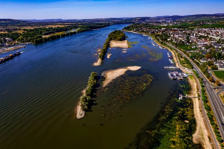
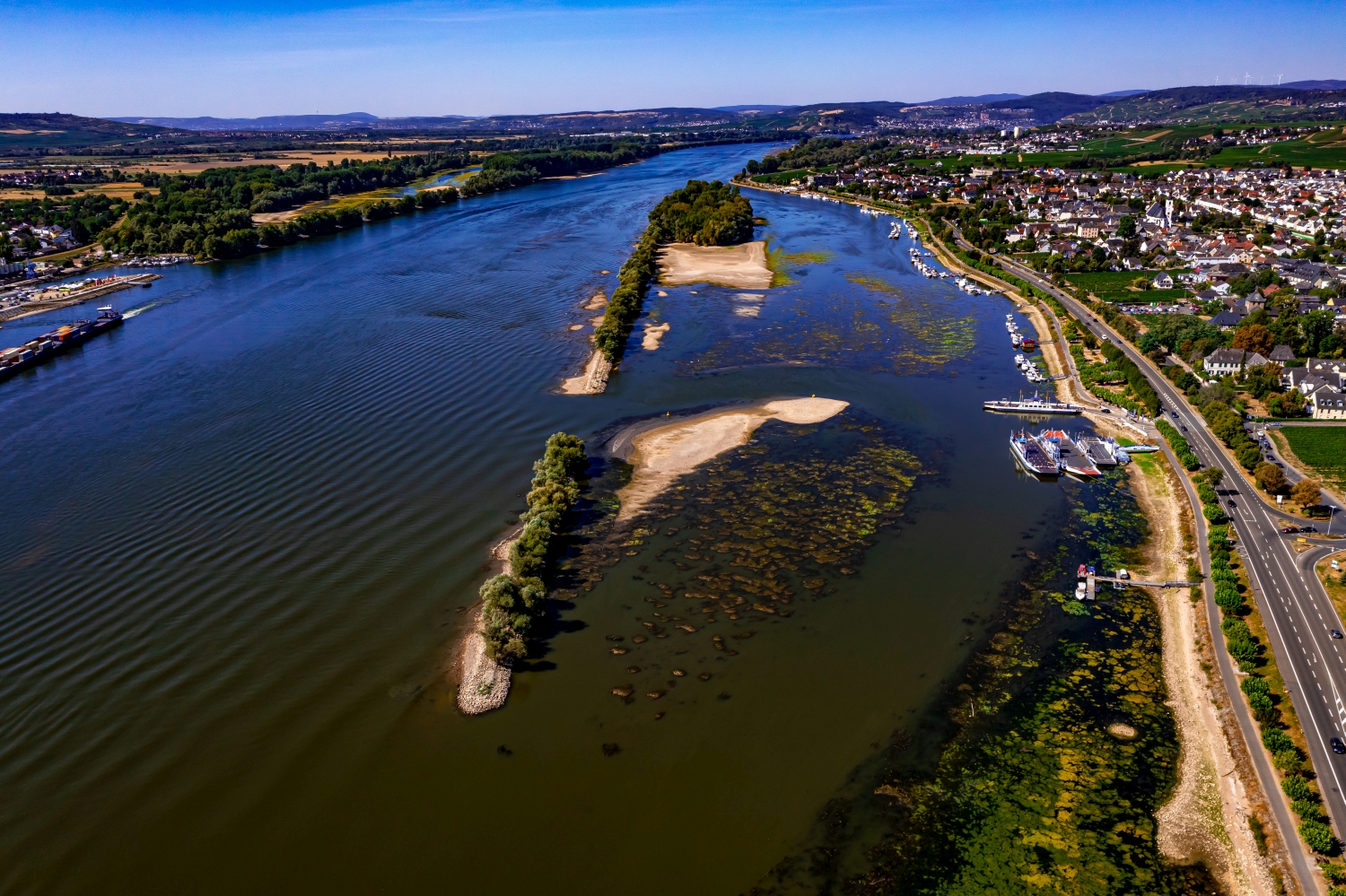
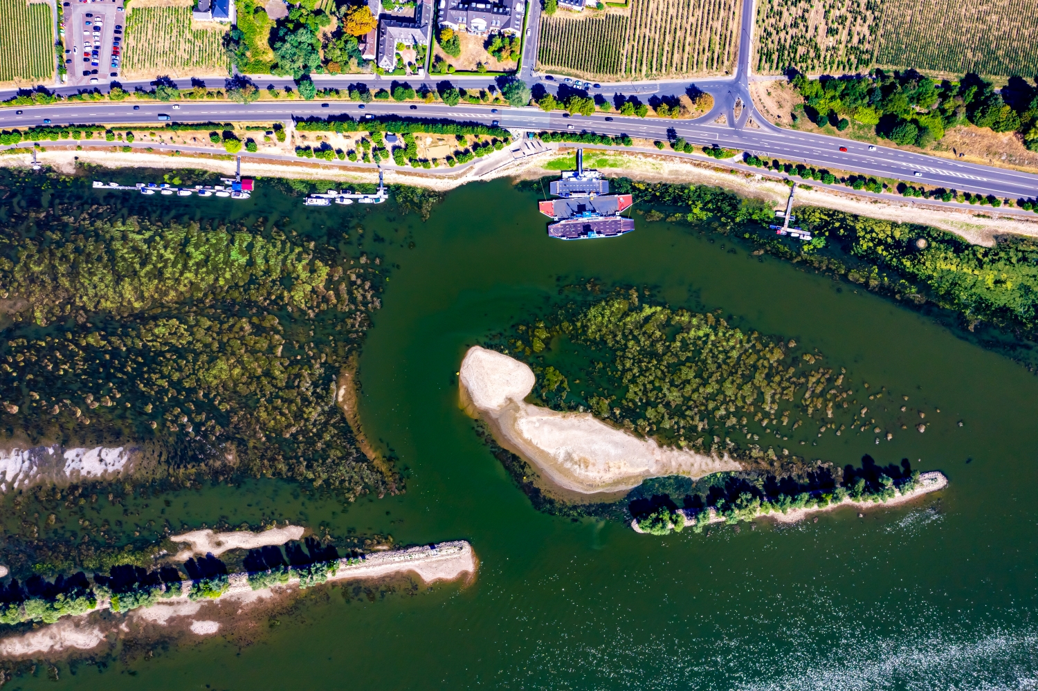
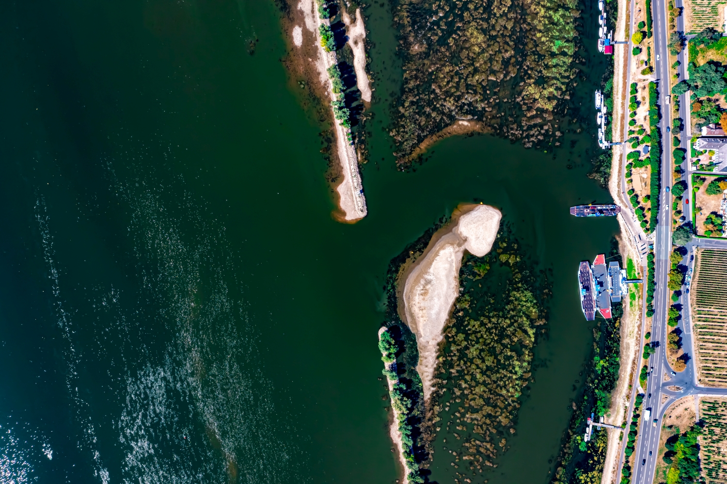

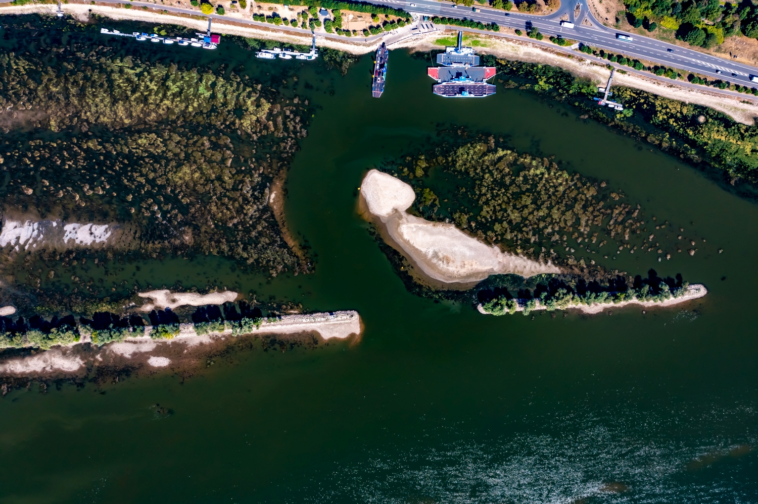
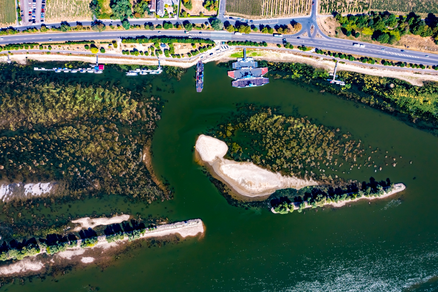
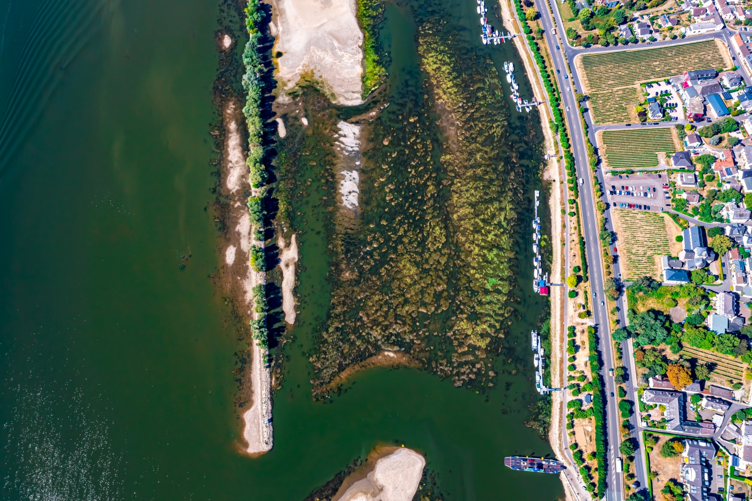
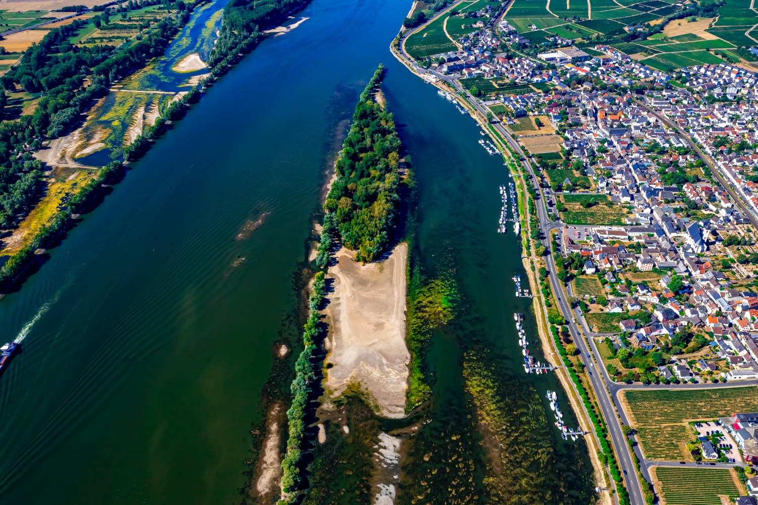
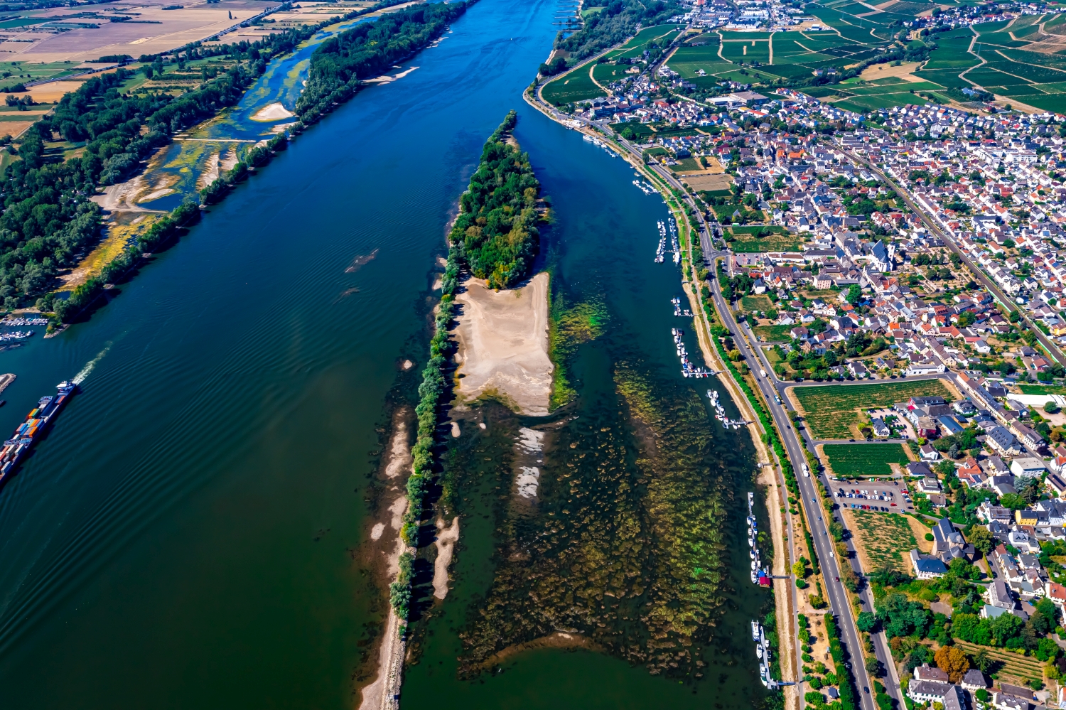
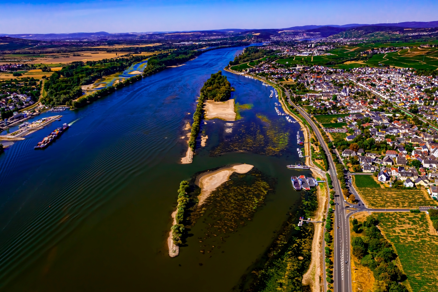
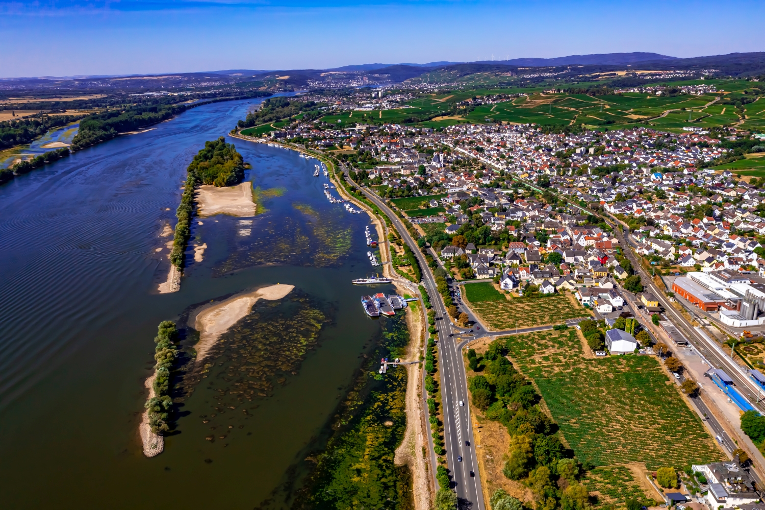
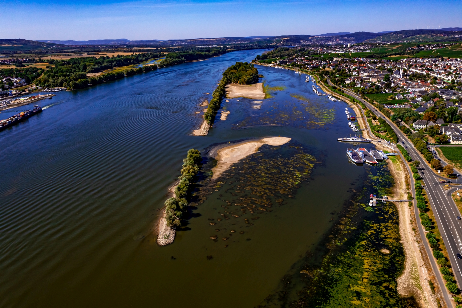
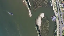
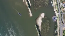
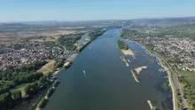
The ferry stop at Oestrich-Winkel
At Oestrich-Winkel, the low water shows the edges of islands and flat shore areas particularly clearly. The ferry area is a fixed reference point in a river landscape whose visible width changes. Anyone who compares two perspectives can clearly understand the location of the transport routes to the river.
The ferry in the wide riverbed
At the Oestrich-Winkel ferry stop, two directions meet. The fairway follows the Rhine, the ferry path leads across it. A wide shot makes this intersection clear.
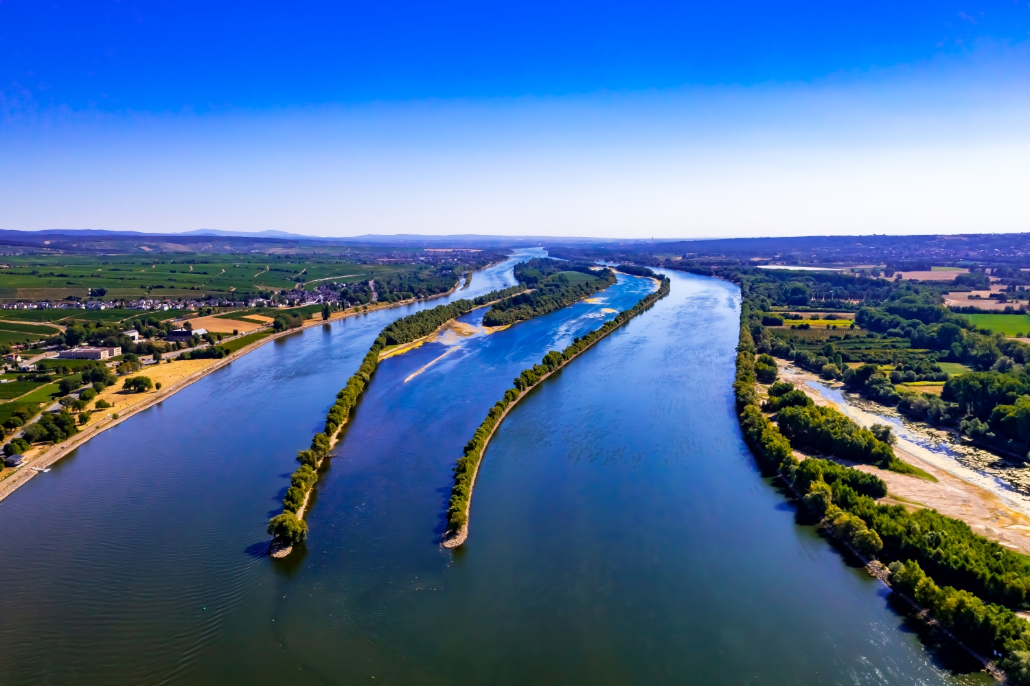
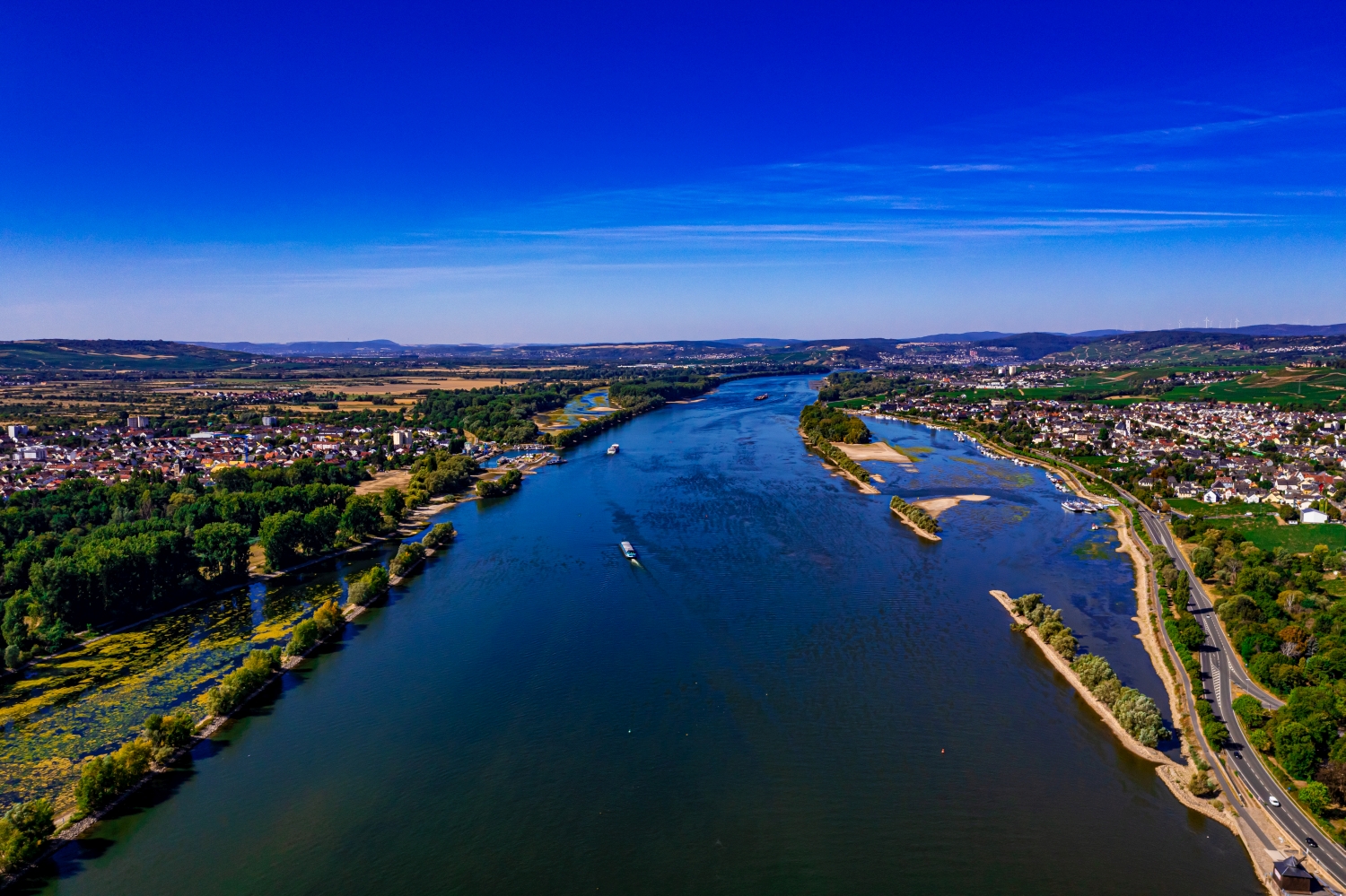
A river changes its role with the direction of view. Across the water you can clearly see how close the development is to the bank. A view along the run connects several sections that appear separate from the street. A particularly vivid image is one in which there is a prominent bank in the foreground and a second reference point further back. The eye can then follow the distance between them itself. A picture caption is achieved by indicating which side of the river the main motif is on.
What a water level changes in the picture
When the water level is low, parts of the riverbed are revealed that may be covered at other times. The light gravel surface pushes the visible water edge further away from the solid bank structures. For a comprehensible description of the image, it is helpful to distinguish between the two lines. A quay wall or a building provides the permanent reference point, the gravel bank describes the respective recording state. This makes it possible to show a striking landscape situation without confusing it with a permanent piece of land.
Connections in the larger network of paths
When describing a location, only the street itself is rarely interesting. The places where they connect something, limit an area or meet another path are revealing. In an aerial photograph, such a section can be followed into the surrounding area. A look along the route can emphasize its length, a steeper look at an intersection its shape. When making a selection for a report, it helps to ask whether the reader should follow a route or recognize a specific location.
The distribution of blue tones
To switch between two of the 15 aerial photos, shot 9 and shot 2 can be called up directly in the gallery. In the first excerpt, shades of blue play a smaller role. In the second shot, blue areas take up more space. Blue can extend over a large contiguous area or only appear in individual parts. What also counts for the effect is whether these areas extend to the edge of the picture or surround the main subject.
Shot 8 and Shot 15 are among the views from August 12, 2022. According to the camera's time information, there are about 2 minutes between the two images. The exposure time was 1/320 second for the first of the images mentioned and 1/500 second for the second.
In the Aerial Videos section there are 4 clips for this article. An example is “Oestrich-Winkel ferry at low water 2022”. Its preview leads directly to the video in the aerial photographer's Adobe Stock portfolio.
Explain the course of the river in the picture
An image path along a body of water can follow the direction of flow. In order for readers to understand the transition between the local views, they need a recognizable reference point for each section. This can be a crossing or a significant bend. Whether water can still be seen on the left or right of the finished print also depends on the page format. It is therefore worthwhile for the aerial photographer to know whether a wide double page or a narrow single image is intended. A cut-off bend in the river can significantly change the view of the town.
Related motifs in the aerial photo archive
Two additional views can be used in the archive for comparison. The first can be found under Osterspai & Oberspay. When the Rhine water level is low, long gravel areas become visible between Osterspai and Oberspay. The second belongs to the article Pfalzgrafenstein Castle. Pfalzgrafenstein stands out from the water with its light facade and dark roof.
Aerial photos Oestrich Winkel
Aerial photography & aerial videos
Your aerial photographer for Oestrich Winkel and the surrounding area
F4 Luftbilder – Your specialist for aerial photography and aerial photography in Oestrich Winkel and the surrounding area. Benefit from our many years of experience and technical equipment and let us convince you of quick implementation and unbureaucratic processing. We look forward to inspiring you with breathtaking aerial photographs and aerial photos of Oestrich Winkel and the surrounding area.
Services
Aerial photos in 4K resolution
Aerial videos in 4K resolution
Individual perspective wishes
Including image editing
All necessary permits and insurance
Free access to Oestrich Winkel and the surrounding area
Your advantages
Direct contact person
No appointment required
Unbureaucratic & short-term processing
Pay conveniently by invoice: bank transfer & Paypal
Delivery of images conveniently via download
Order processing within 10 days
Request a quoteUnique aerial photos of Oestrich-Winkel
The most beautiful photos from Oestrich-Winkel
Oestrich-Winkel is a municipality in the Rheingau-Taunus district in Hesse. The community is located on the edge of the Rheingau, south of Eltville am Rhein and west of Wiesbaden. In the north of the municipality is the Winkel district and in the south is the Bechtheim district. The district covers most of the Oestrich Basin. The Oestrich Basin is a flat valley about three kilometers wide between the Taunus in the northeast and the Rheingau in the southwest. It forms the natural connection between the Taunus Mountains and the Lower Hesse mountains.
Unique perspectives
Aerial photography is the art of capturing unique perspectives from the air. Most people look at the world from the perspective they're used to - from the bottom up. However, aerial photography gives us the opportunity to see the world from a completely new perspective. Aerial photography can be difficult at times, but with practice anyone can learn it. There are different types of cameras and drones that can be used for aerial photography. Before you start photography, you should think about what type of shots you want to take and what device is best for it. Whether you want to photograph landscapes or buildings, there is always something new to discover!
Stunning colors
There are so many stunning colors in the world, and I'm glad I can capture them through the lens of a camera. Especially when it comes to aerial photography. The perspective from the air is just incredible and the colors are usually so much more vibrant. I love sitting on a plane with camera in hand and watching the world below me. The movement of the plane gives the photos something special and I can always discover new perspectives. The sky is usually so much bluer when photographed from the air and the clouds look amazing. The shadows that the light casts are also incredibly fascinating.
Fascinating structures
Aerial photography is a very special type of photography. When you take photos from a plane or helicopter, you see the world from a completely different perspective. The structures and patterns that unfold beneath you are fascinating and unique. The challenge in aerial photography is to catch the right moment and take the perfect photo. There's a lot to consider: the weather conditions have to be right, the light has to be right and of course you also have to know which camera settings you're using. If you pay attention to everything, you can take breathtaking aerial photos!