 F4LUFTBILDER

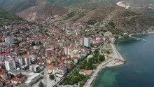
Pogradec on Lake Ohrid
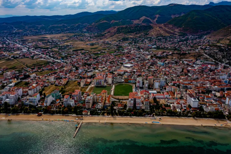
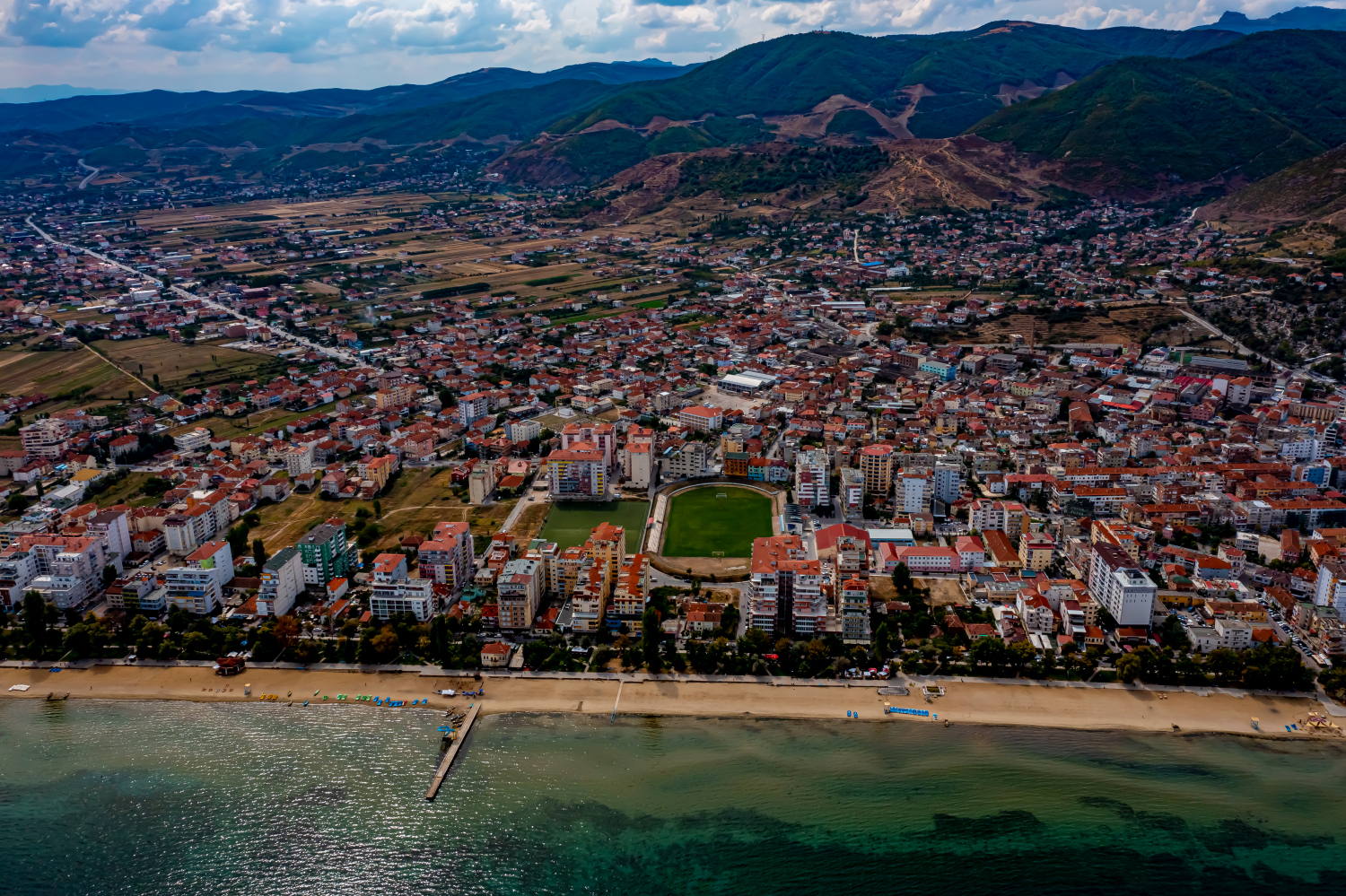
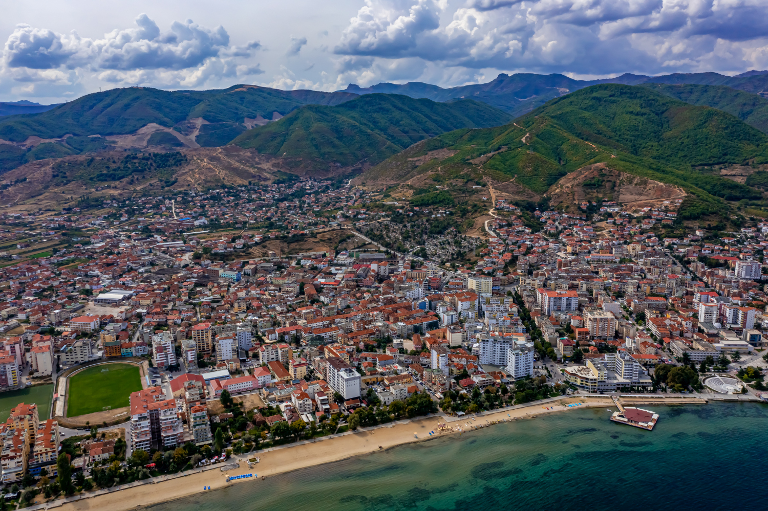
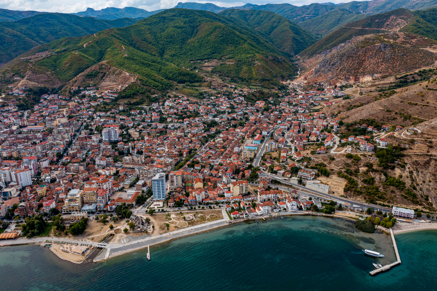
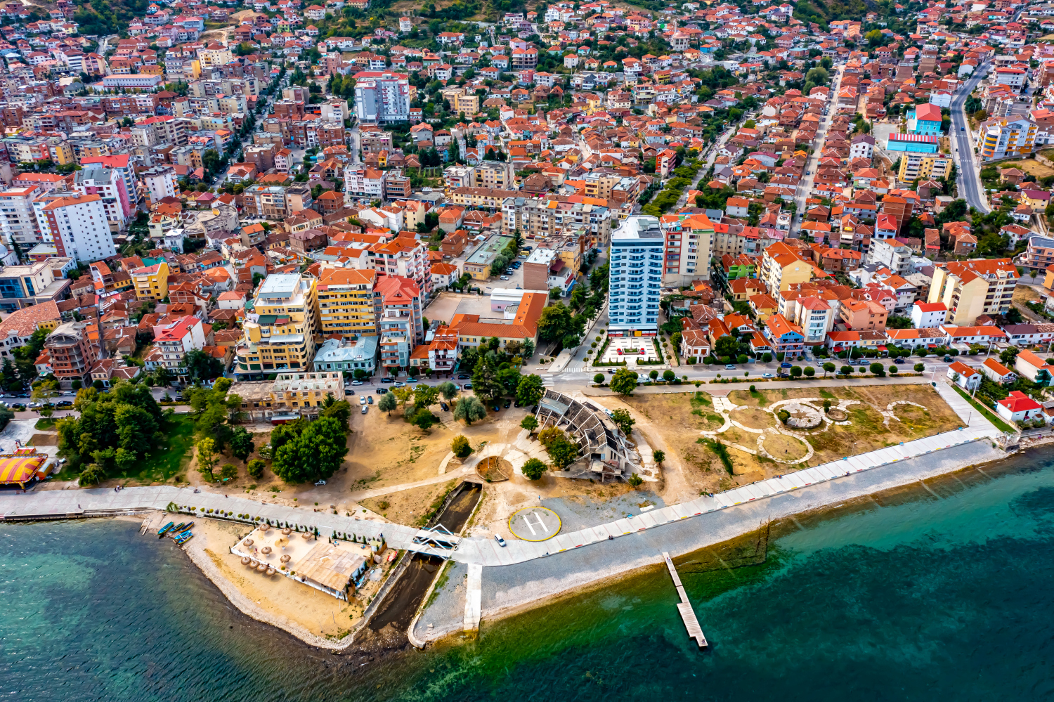
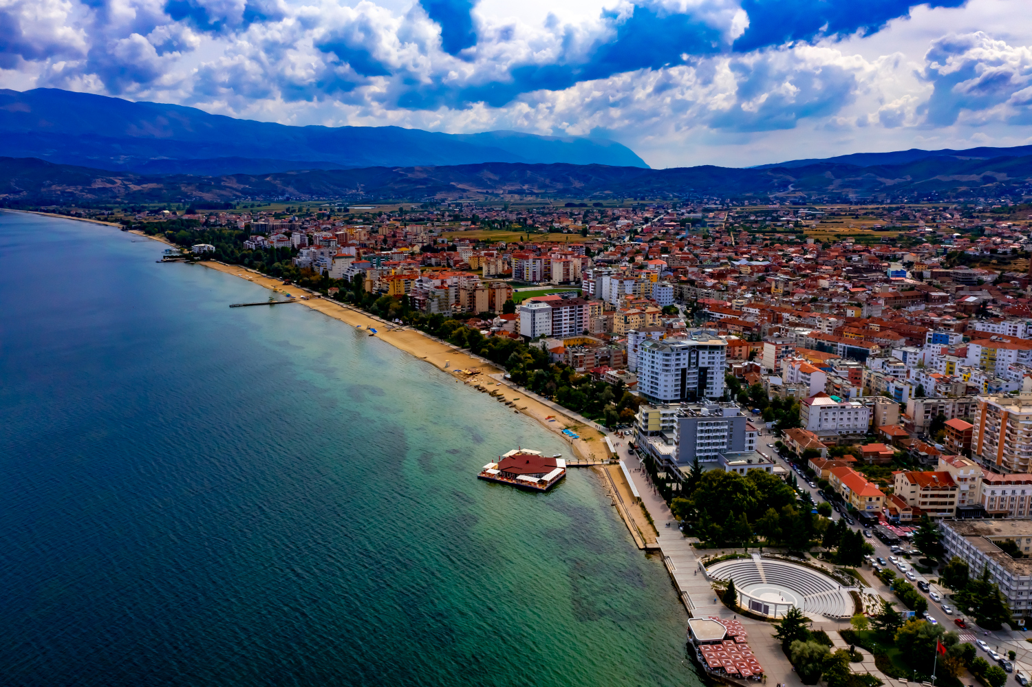
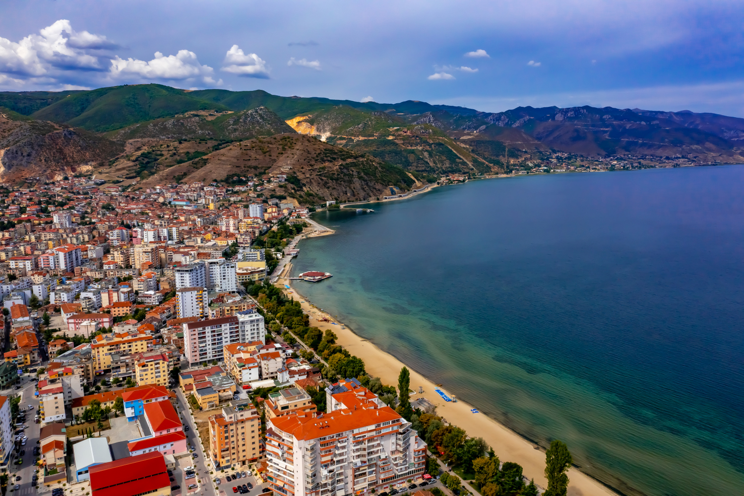
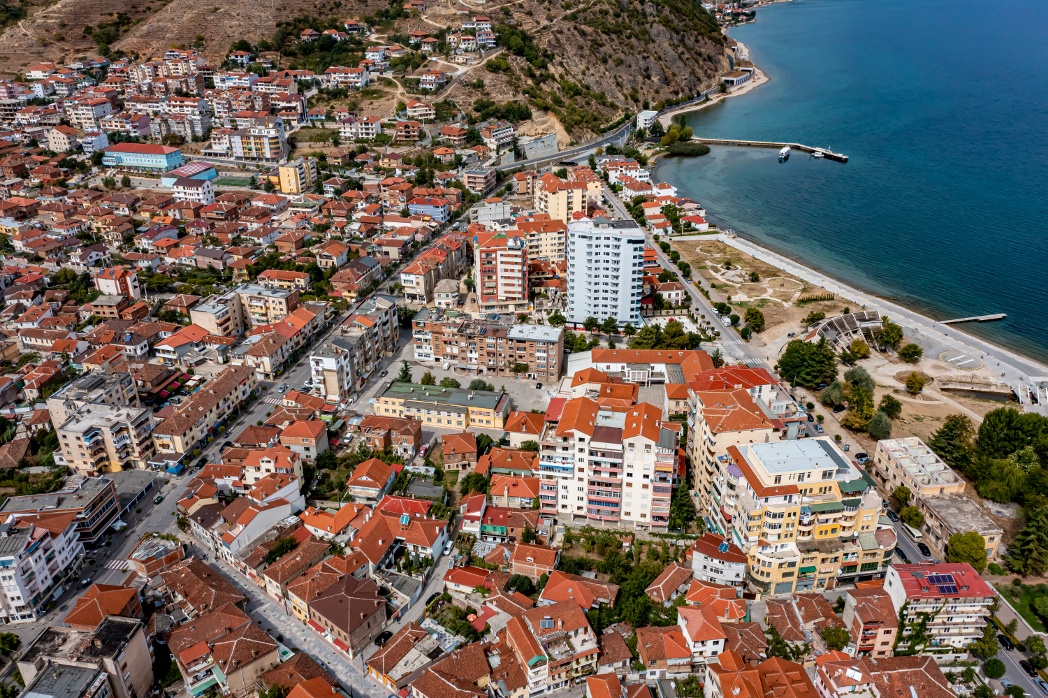
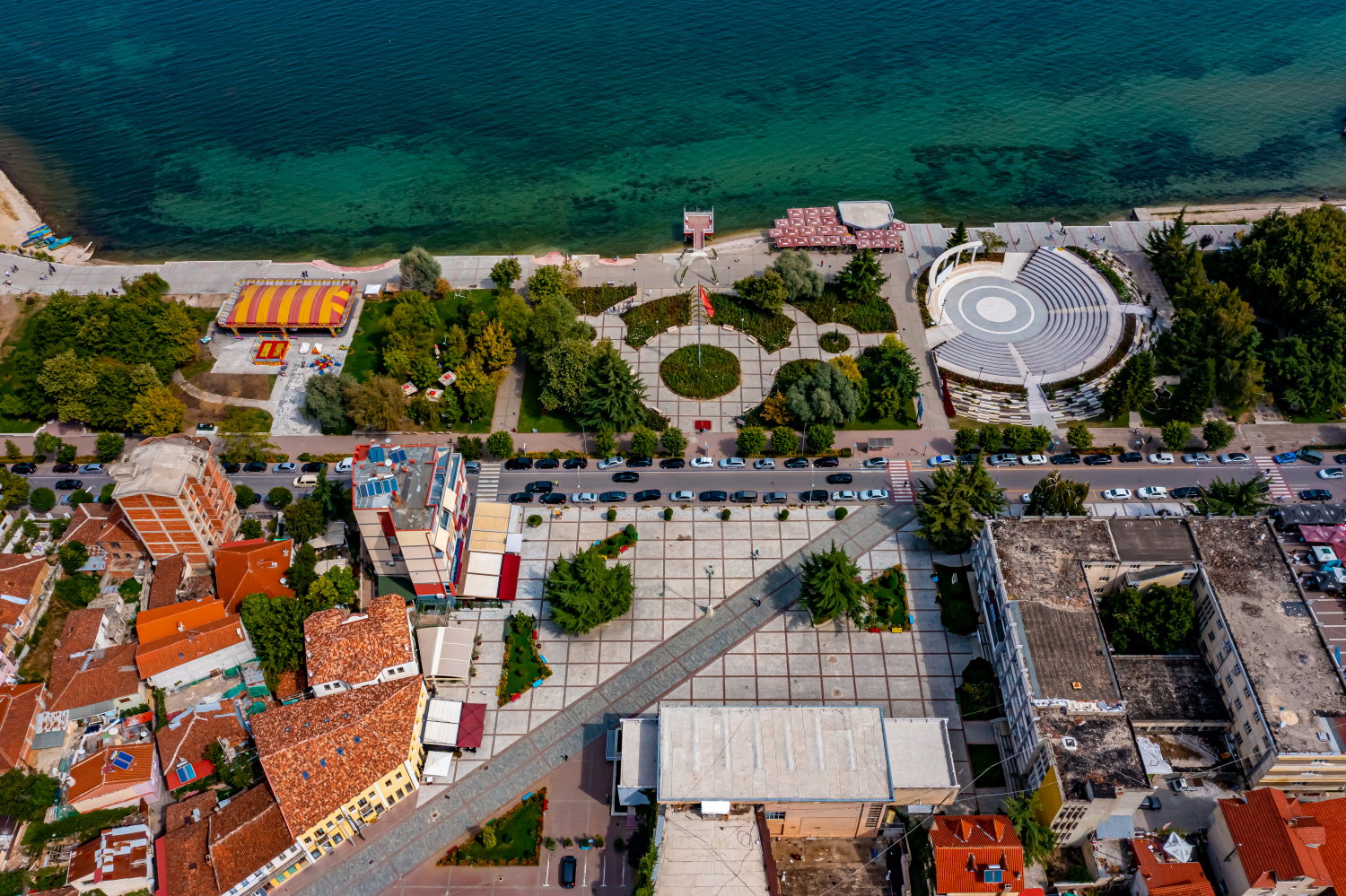
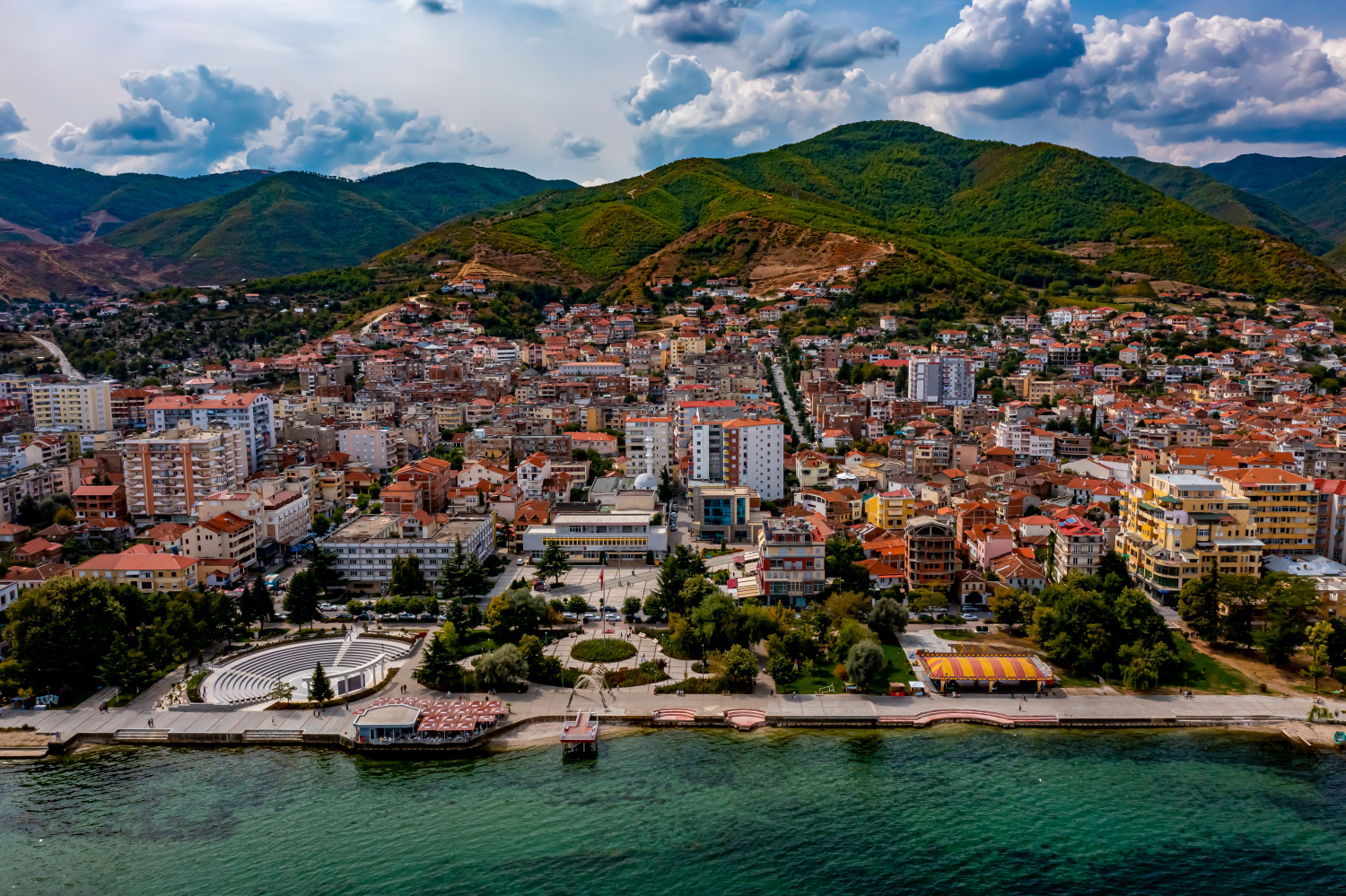
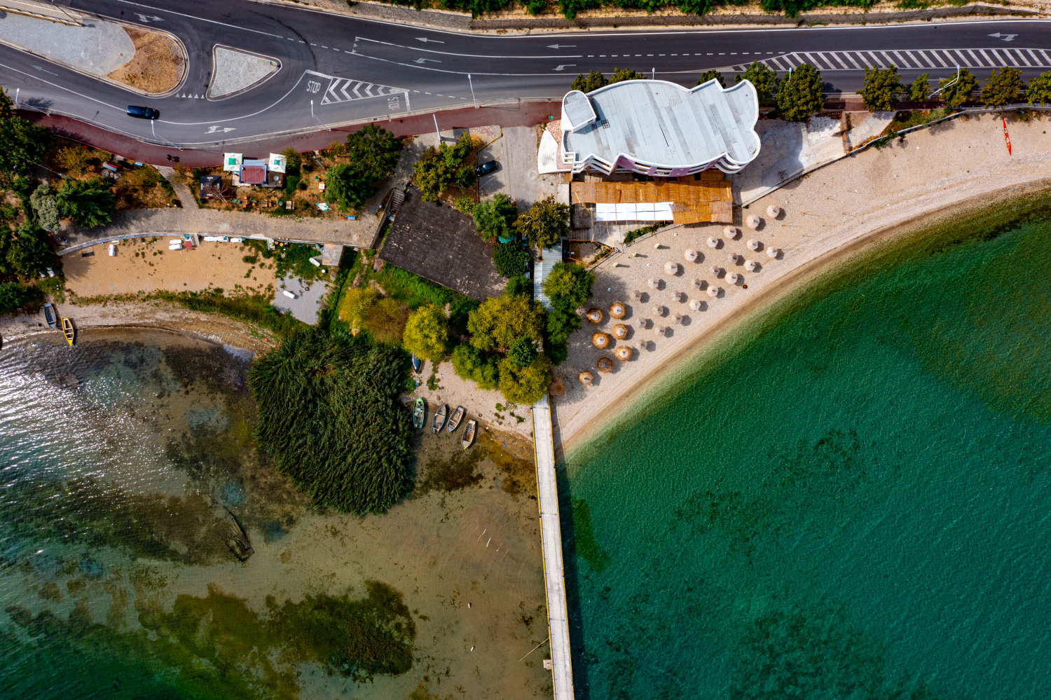
On the banks of Pogradec, the Albanian city stretches in a long arc along Lake Ohrid. In the hinterland the slopes rise quickly. The further the section goes, the clearer it becomes how narrow the built-up space is between the lake and the mountains.
The transition from the riverside road to the slope
In Pogradec, the lakeshore gives the streetscape a fixed direction. A picture in which a piece of Lake Ohrid and the first row of houses remain together shows this connection most directly.
On a lake, a large area can appear almost uniform. Only an arch on the bank, a boat or the reflection of a slope gives the eye something to hold on to. In aerial photography, the image often appears particularly spatial, as it contains a piece of land in the foreground in addition to the water. For a wide image, the water surface can have more space. In a narrow format, their connection to the shore should be retained so that the landscape becomes a recognizable place and not just any blue area.
The shore zone in detail
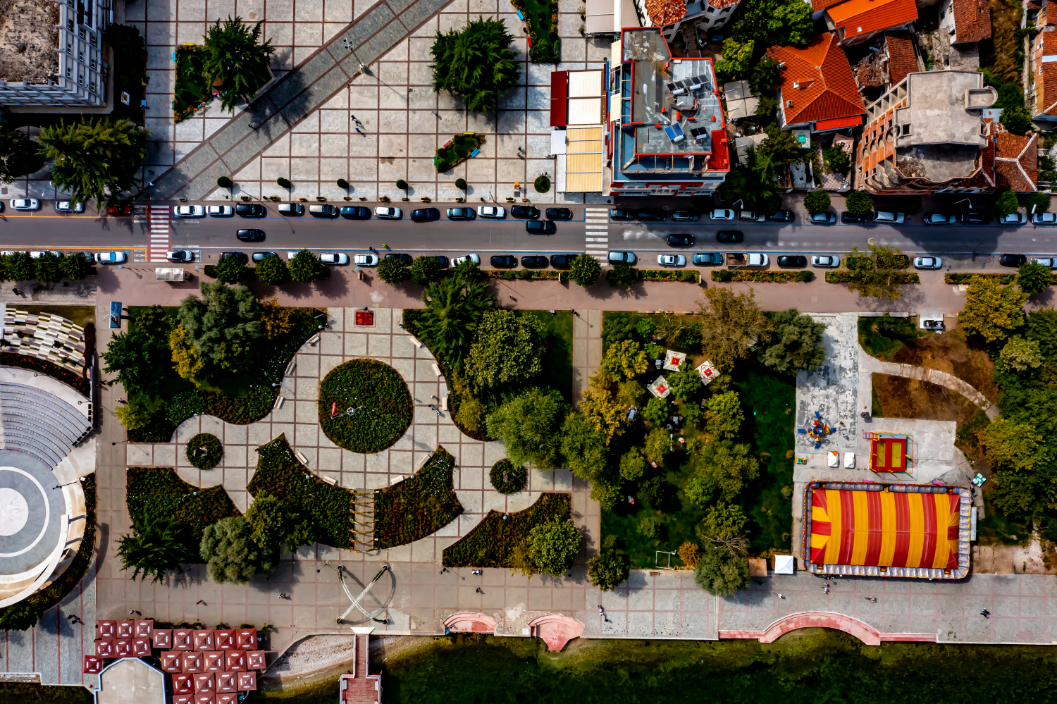
On the bank, the familiar solid surface and the changing water surface lie right next to each other. An embankment or a narrow path can appear significantly wider when viewed from an angle than when viewed from a steeper perspective. That's why it's helpful to keep a point such as a junction or a prominent curve in the image. It combines the close-up view with the panorama. Even when switching from landscape format to portrait format, this transition should remain visible if the location on the water is the actual topic.
What the roofs reveal about the floor plan
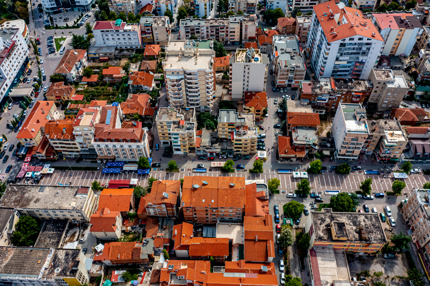
A city center can often be read by its roofs. Where narrow gables are close together, the street space is also divided into short sections. A large, connected building interrupts this sequence. In the aerial photo you can follow the direction of an alley from such an interruption. For an illustration in a smaller format, a section with just a few easily distinguishable roof groups is worthwhile. In a large print, however, the spaces and small changes in direction are allowed to keep their place.
The distribution of blue tones
For a direct image comparison, use shot 13 and shot 5 from the gallery with 13 aerial photos. In the first excerpt, shades of blue play a smaller role. In the second shot, blue areas take up more space. Blue can extend over a large contiguous area or only appear in individual parts. What also counts for the effect is whether these areas extend to the edge of the picture or surround the main subject.
According to camera data, Shot 1 and Shot 13 were taken on September 12, 2021. There is a gap of around 9 minutes between the two images. ISO 100 and an exposure time of 1/500 second are recorded for both files.
The Aerial Videos section supplements the photos with 4 clips. The aerial photographer's photographs linked there include “Pogradec in Albania from the air”. The relevant video page on Adobe Stock can be opened using the respective preview.
Show the proportions of the landscape
It is easy to overestimate the size of a shape in a landscape painting. A bright spot may be a small open area or show an extensive portion of the terrain. When selecting images, a comprehensible reference point is therefore more important than the most dramatic perspective possible. If present in the motif, a path or a clearly recognizable shoreline can take on this task. An aerial photographer can also relate an overview and a single view. Readers are then given an idea of the location before viewing the surface up close.
Related motifs in the aerial photo archive
The article Bad Zwischenahn offers another perspective. When looking over Bad Zwischenahn, the Zwischenahner Meer takes up a large part of the horizon. In the gallery Slovakia – Zemplínska šírava there is a different focus. At the Zemplínska šírava in Slovakia, the lake takes up most of the field of view in the wide shots.
Aerial photos of Pogradec – Albania
Your aerial photographer across Europe
Request a free quote