 F4LUFTBILDER


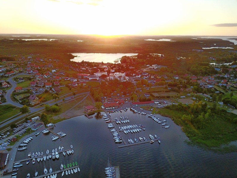
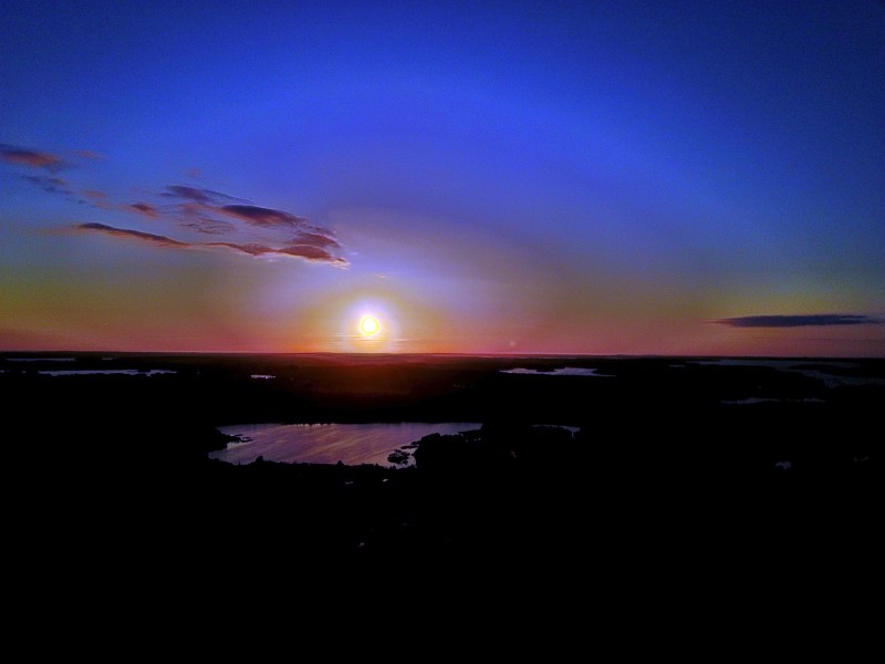
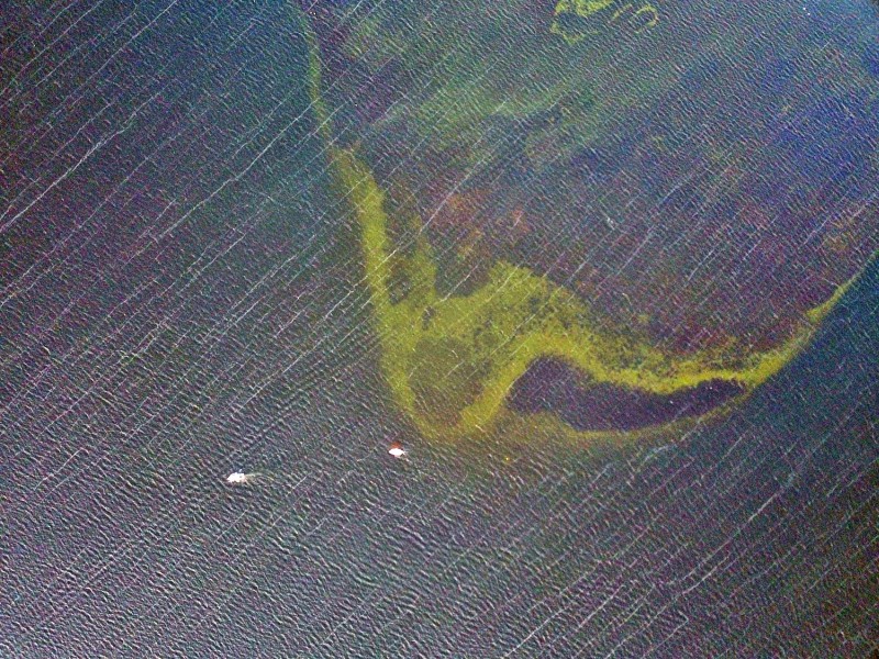
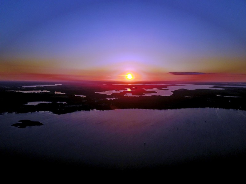
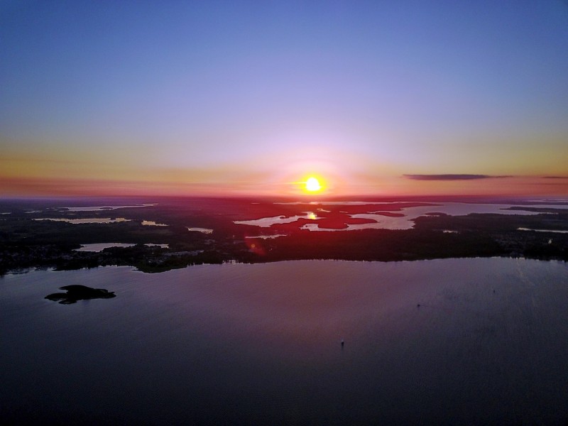
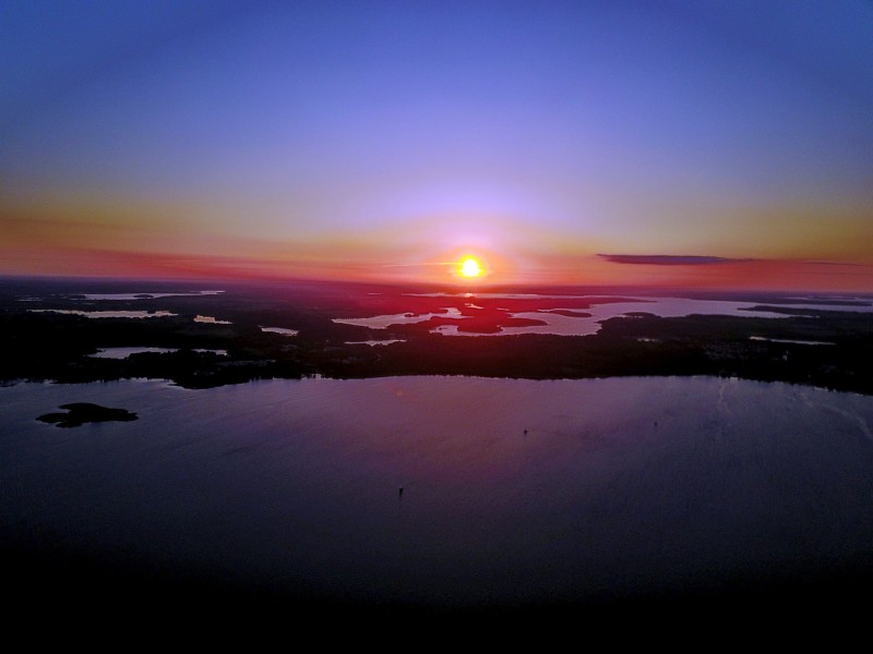
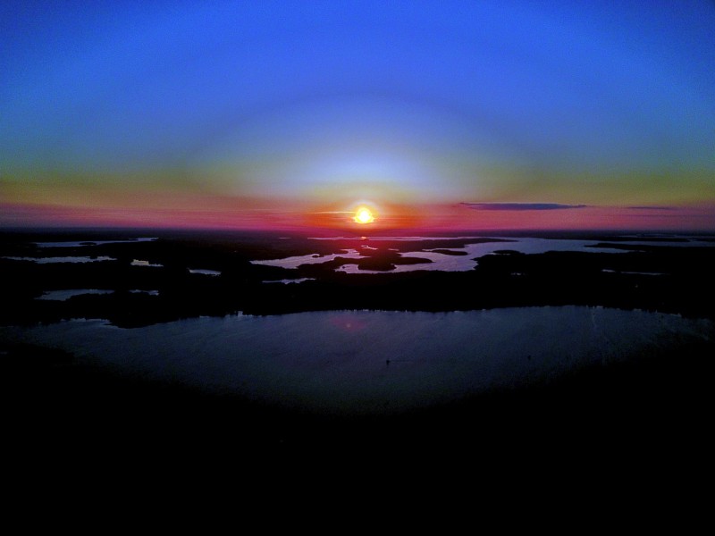
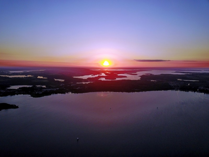
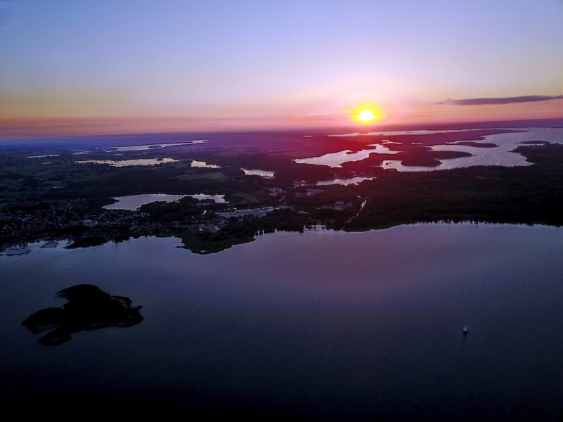
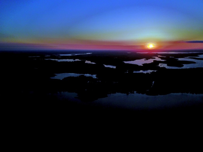
Masurian lakes between jetties and open water
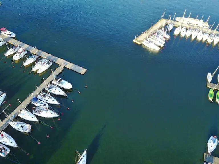
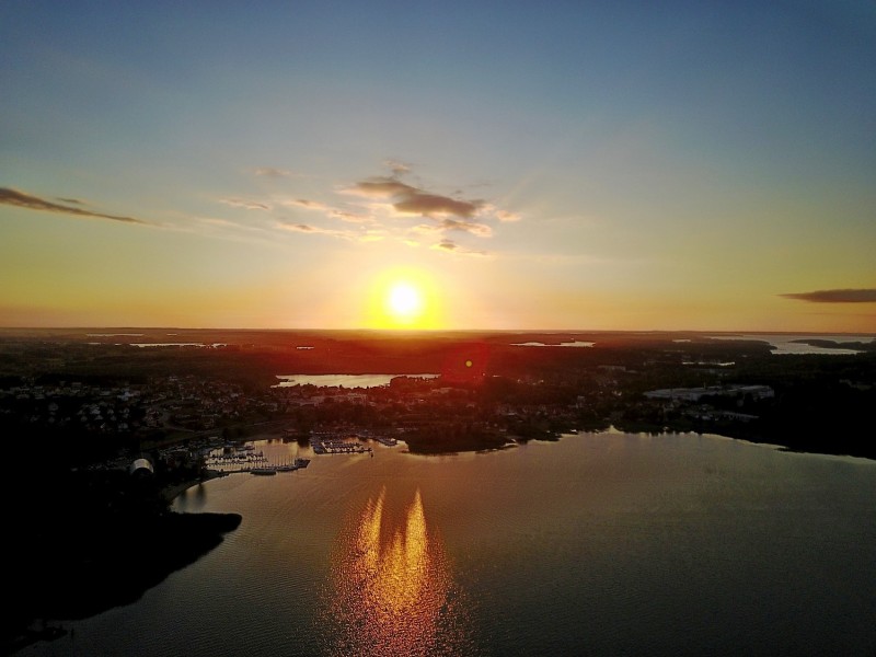
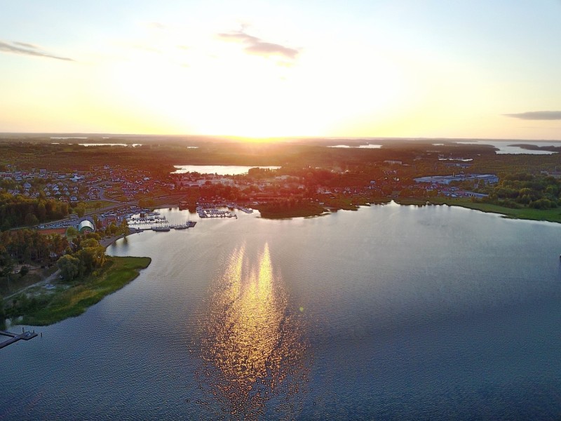
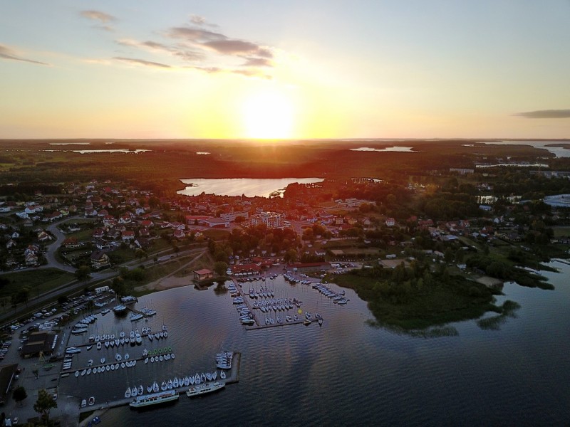
In Masuria, the aerial images change from the narrow harbor area to large open areas of water. White boats and jetties give the shore a fine design. On the other hand, on the wider lake, a single sail is enough to give the eye an indication of the distance.
Footbridges as a scale of the lake landscape
At the Masurian Lakes, the footbridges connect land and water. They give a wide view a close reference point and at the same time show how little area the development takes up.
On a lake, a large area can appear almost uniform. Only an arch on the bank, a boat or the reflection of a slope gives the eye something to hold on to. In aerial photography, the image often appears particularly spatial, as it contains a piece of land in the foreground in addition to the water. For a wide image, the water surface can have more space. In a narrow format, their connection to the shore should be retained so that the landscape becomes a recognizable place and not just any blue area.
The water between the quay edges
In a harbor, the individual areas are best seen from the water. A pier delimits the entrance, straight edges frame a pool, smaller footbridges divide the area. Boats and ships provide an indication of size without an exact distance being able to be derived from the image. The shape of the harbor provides an overview. A closer look at the edge of a quay, on the other hand, shows how the water directly connects to the landside paths, buildings or open spaces.
What the treetops reveal
A forest changes the view of every structure and every path that lies on its edge. From one side the treetops cover the lower area, from another a small gap opens. Photos in which the boundary between open space and vegetation can be clearly seen are particularly interesting. They explain which parts of a motif are visible. In a description, it is possible to distinguish precisely between the section depicted and the terrain hidden by the foliage.
The distribution of blue tones
If you browse through the 65 aerial photos, you can linger at shot 36 and shot 48 for a comparison. In the first excerpt, shades of blue play a smaller role. In the second shot, blue areas take up more space. Blue can extend over a large contiguous area or only appear in individual parts. What also counts for the effect is whether these areas extend to the edge of the picture or surround the main subject.
For Shot 1 and Shot 65, the same day is noted in the image files, June 17, 2017. The recording times recorded are approximately 78 minutes apart. The exposure time for the first of the images mentioned was 77/10590 seconds and for the second 2/2809 seconds.
Show the proportions of the landscape
For a series of natural history images, an observable form is the best starting point. Where does a surface end, what structure continues next to it, and how much environment do you need to tell the two apart? The questions can be followed directly from the photo. Statements about origin, depth or age, however, require additional sources. An aerial photographer can capture the visible traces and draw attention to a detail. In the later caption you can then clearly explain what can be seen in the photo and what comes from the technical classification.
Related motifs in the aerial photo archive
If you are looking for related motifs, you can start with Titisee Neustadt. In the aerial view, Lake Titisee lies between forested heights and a densely built-up shoreline in places. It's worth taking a second look at Finland. In the Finland series, forested islands divide the vast expanses of water.