 F4LUFTBILDER
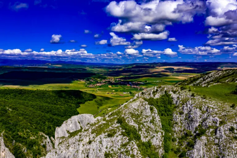


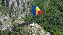
The rocky gorge Cheile Turzii
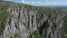
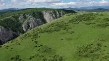
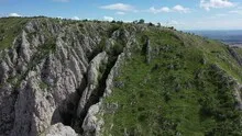
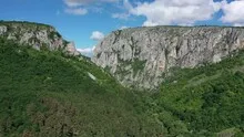
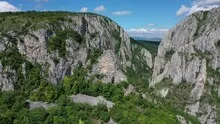
In the Cheile Turzii gorge in Romania, bright rock faces stand above a green valley floor. From the outside, the cut can be seen as a dark notch in the ridge. Closer to the rock, the irregular wall surfaces and the narrow, overgrown sections in between can be seen.
The cut in the ridge
At Cheile Turzii, the first thing that catches your eye is the narrow gap between the rocks. Vegetated shoulders all around help to define the depth of the gorge compared to the higher terrain.
Rock surfaces are often harder to read in an aerial photograph than their sharp outline suggests. A dark area can be a deep crevice or just in shadow. The connection of several visible edges provides information. Where they converge and cover a surface, a spatial jump is understandable. A location with clear rock contours is suitable for publication with smaller images. In a larger format, the eye can wander more over the finer differences in the surface.
Recognize the shape of the valley area
The location in a valley is made clear in the aerial photo by the lateral boundaries. A nearby slope pushes forward in front of a distant one, and the valley floor opens up in between. If the section is too narrow, it can easily give the impression of a flat surface. A shot with a bit of a slope at the edge of the image preserves the context. Orientation is particularly successful when there is also a familiar size comparison, such as a street or a house. The eye can then better assess the depth between the individual landscape levels.
What the treetops reveal
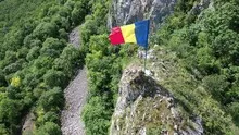
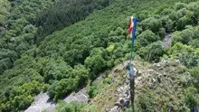
A forest changes the view of every structure and every path that lies on its edge. From one side the treetops cover the lower area, from another a small gap opens. Photos in which the boundary between open space and vegetation can be clearly seen are particularly interesting. They explain which parts of a motif are visible. In a description, it is possible to distinguish precisely between the section depicted and the terrain hidden by the foliage.
Shades of green in the image
Among the 22 photos in the gallery, shot 6 and shot 12 provide a good starting point for the comparison. In the first image, green areas make up a smaller part of the section than in the second. It's worth tracking the green areas individually. Only in connection with neighboring forms does it become clear what is in the foreground and what belongs to the more distant surroundings.
The camera captured July 13, 2020 for shot 1 and shot 22. The time interval between these two views is around 15 minutes. The exposure time was 1/800 second for the first of the images mentioned and 1/640 second for the second.
The Aerial Videos section supplements the photos with 8 clips. The photographs by the aerial photographer linked there include “Cheile Turzi - breathtaking aerial photographs of Romania”. The relevant video page on Adobe Stock can be opened using the respective preview.
Show the proportions of the landscape
It is easy to overestimate the size of a shape in a landscape painting. A bright spot may be a small open area or show an extensive portion of the terrain. When selecting images, a comprehensible reference point is therefore more important than the most dramatic perspective possible. If present in the motif, a path or a clearly recognizable shoreline can take on this task. An aerial photographer can also relate an overview and a single view. Readers are then given an idea of the location before viewing the surface up close.
More aerial photos for comparison
Two further articles invite comparison. In the first, Đavolja Varoš, another detail is in the foreground. At Đavolja Varoš, a brightly eroded flank interrupts the closed Serbian mountain forest. Then Greece – Corinth Canal is an option. The Corinth Canal can be recognized from the air by its almost straight waterline.