 F4LUFTBILDER
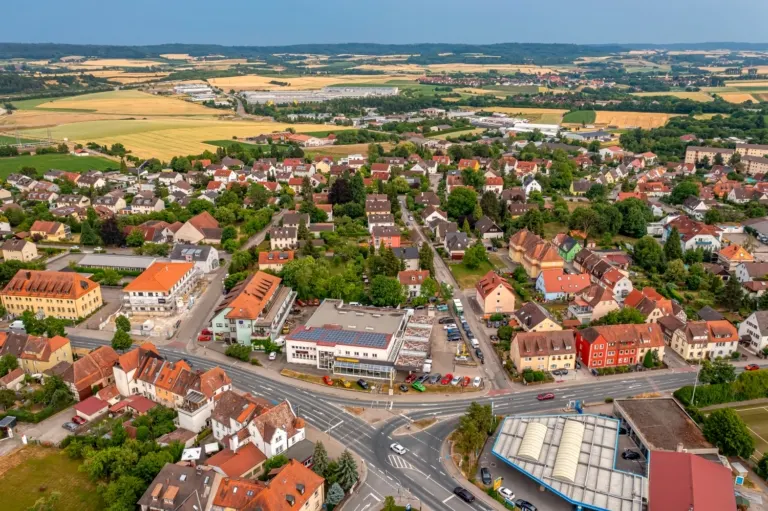
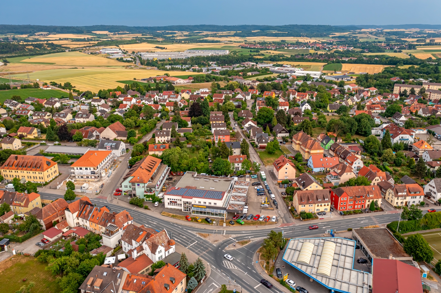
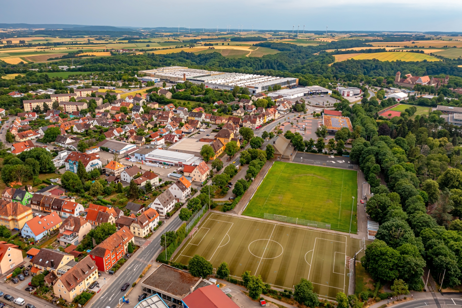
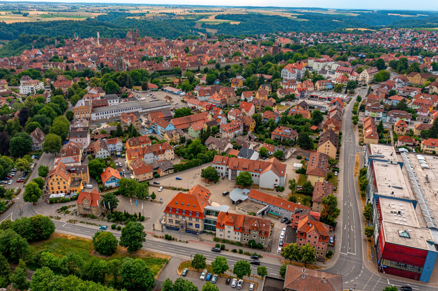


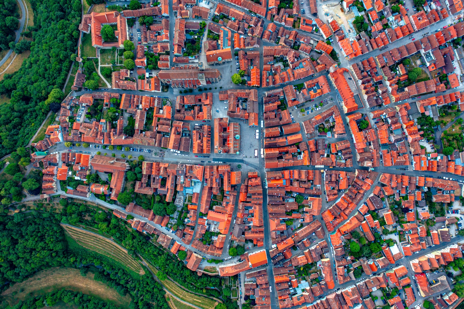
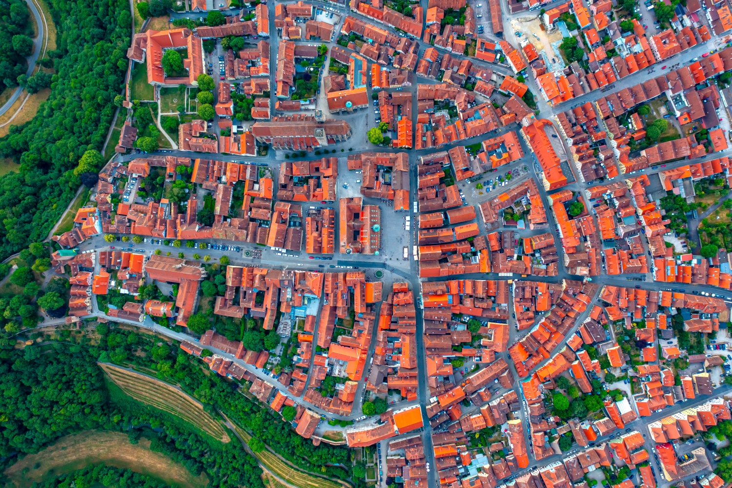
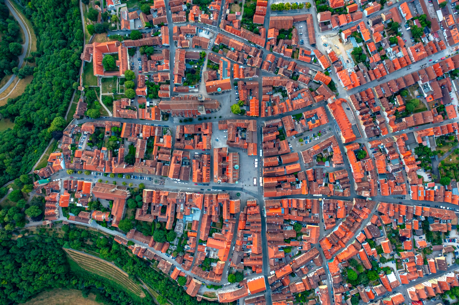
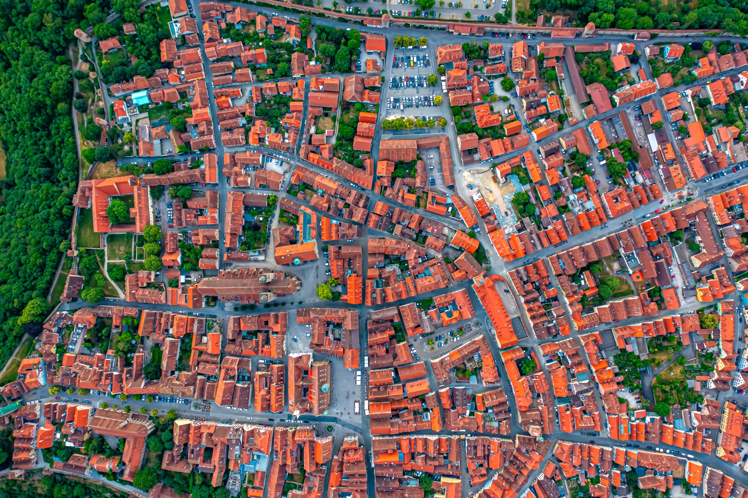
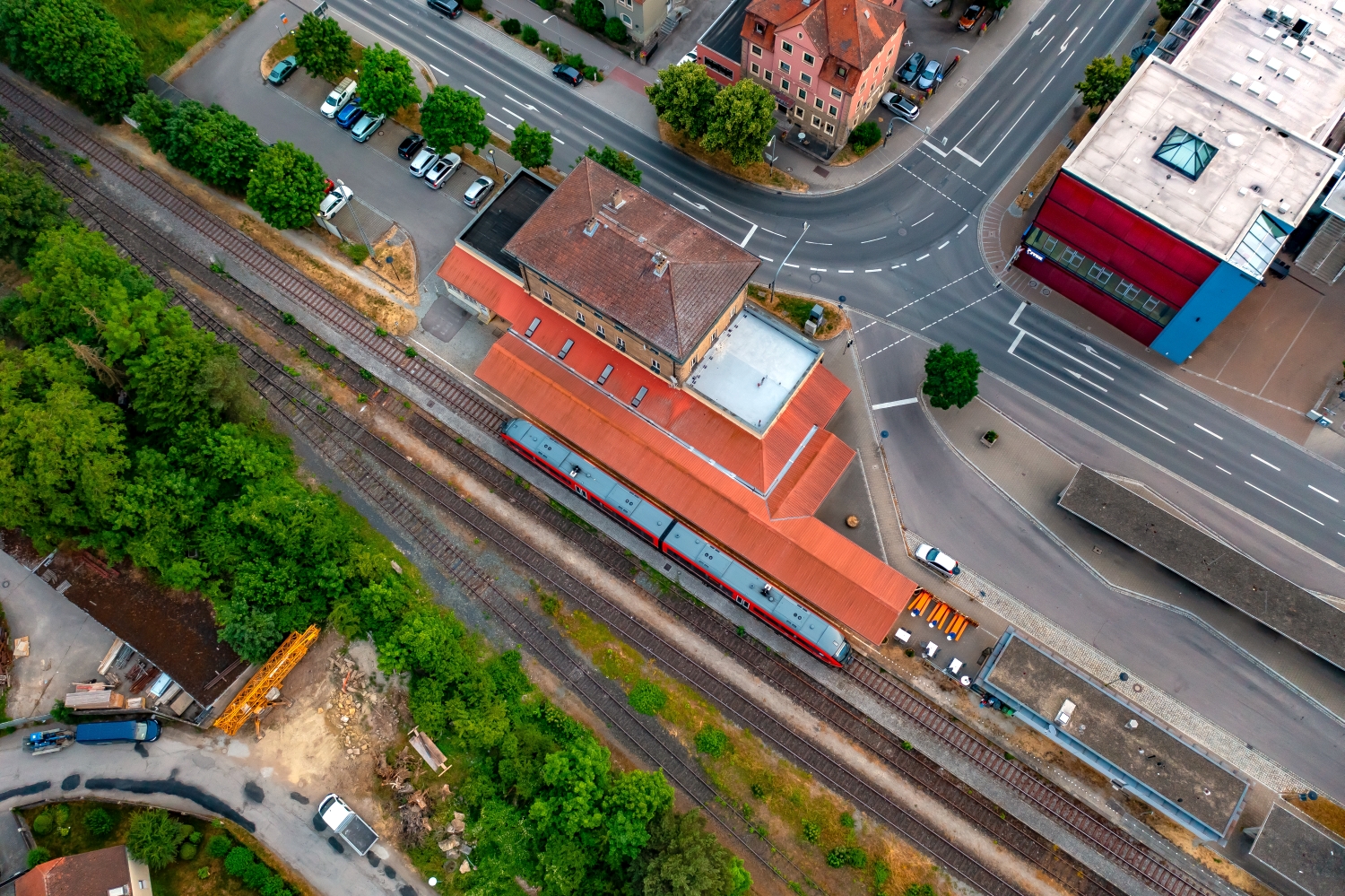
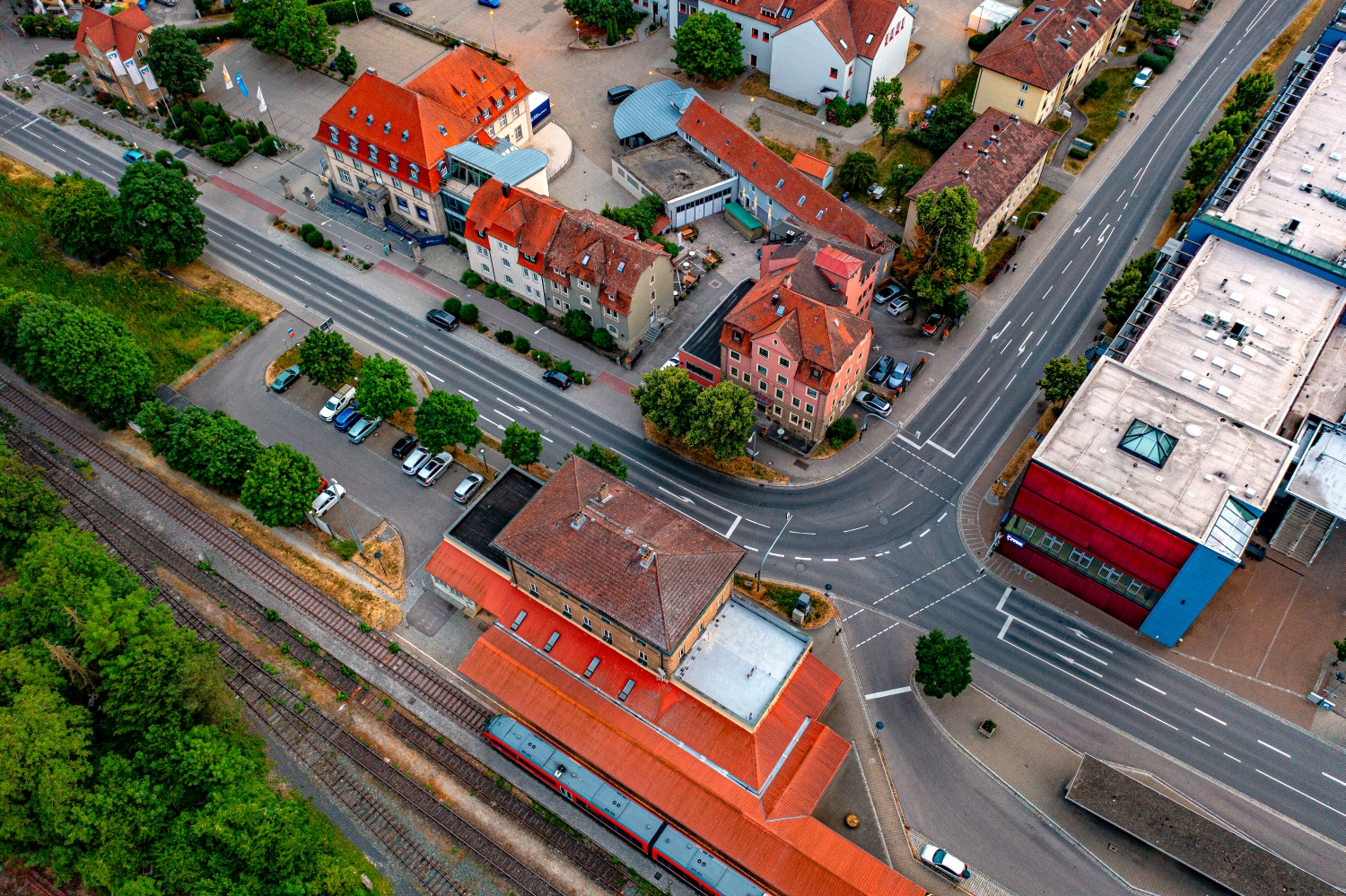
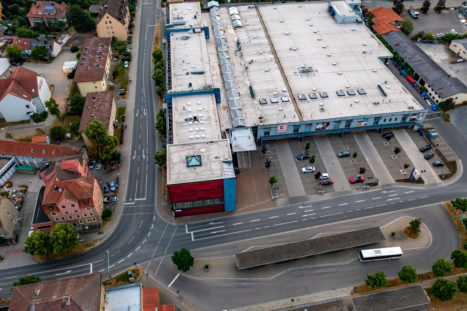
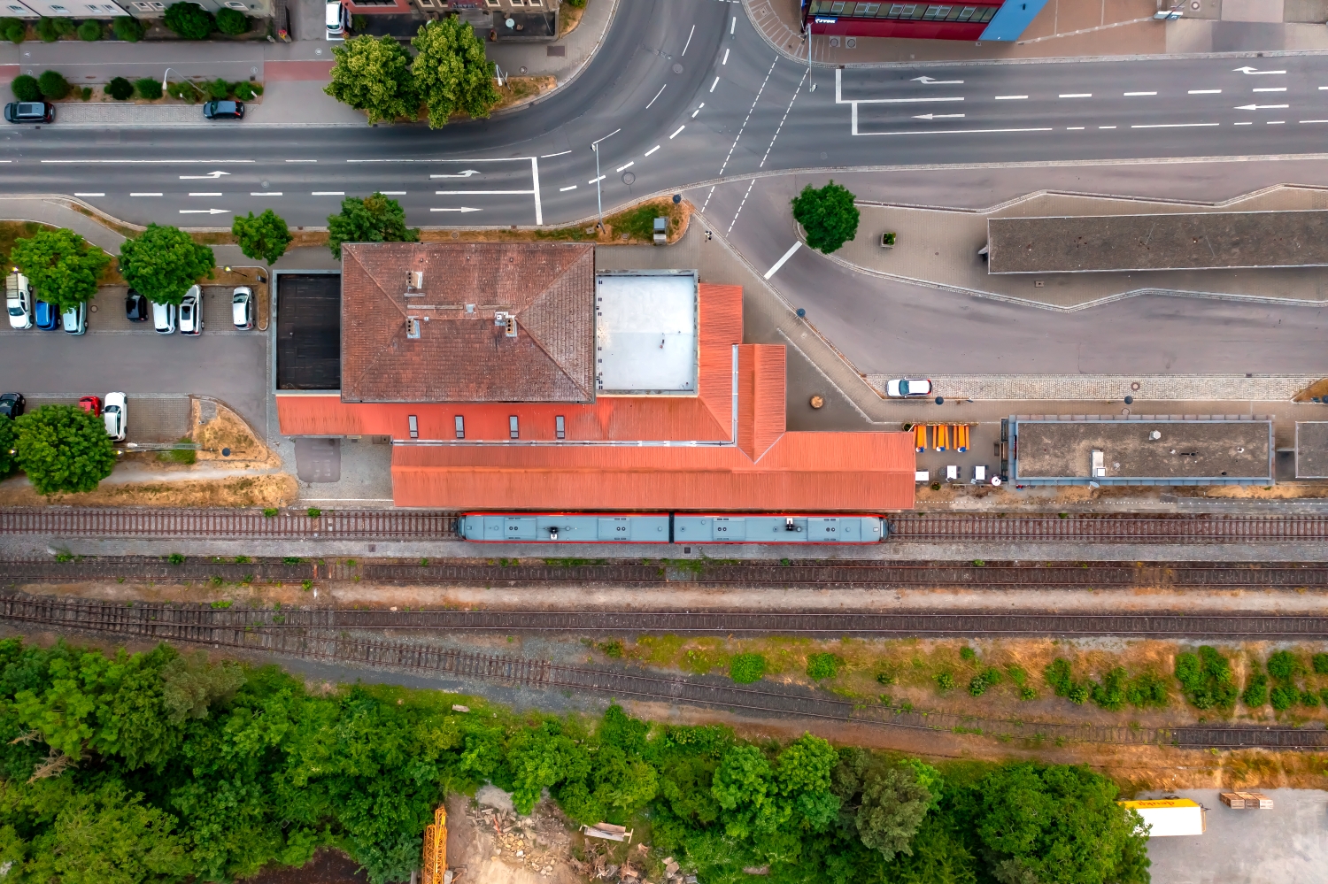
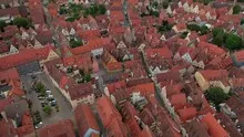
Red roofs over the Tauber
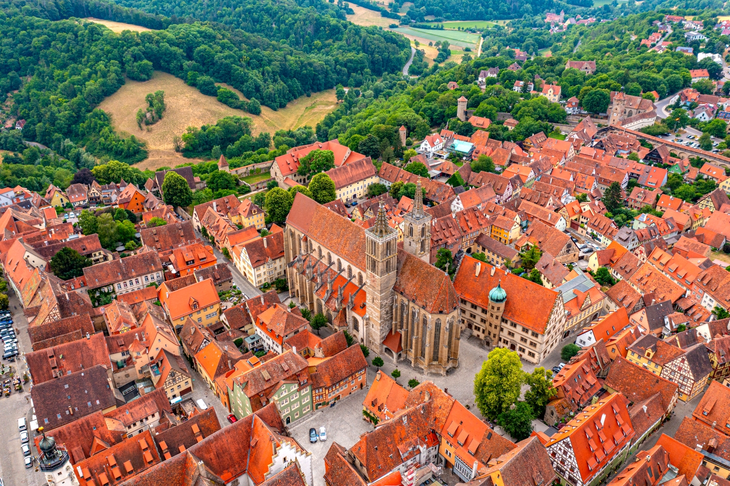
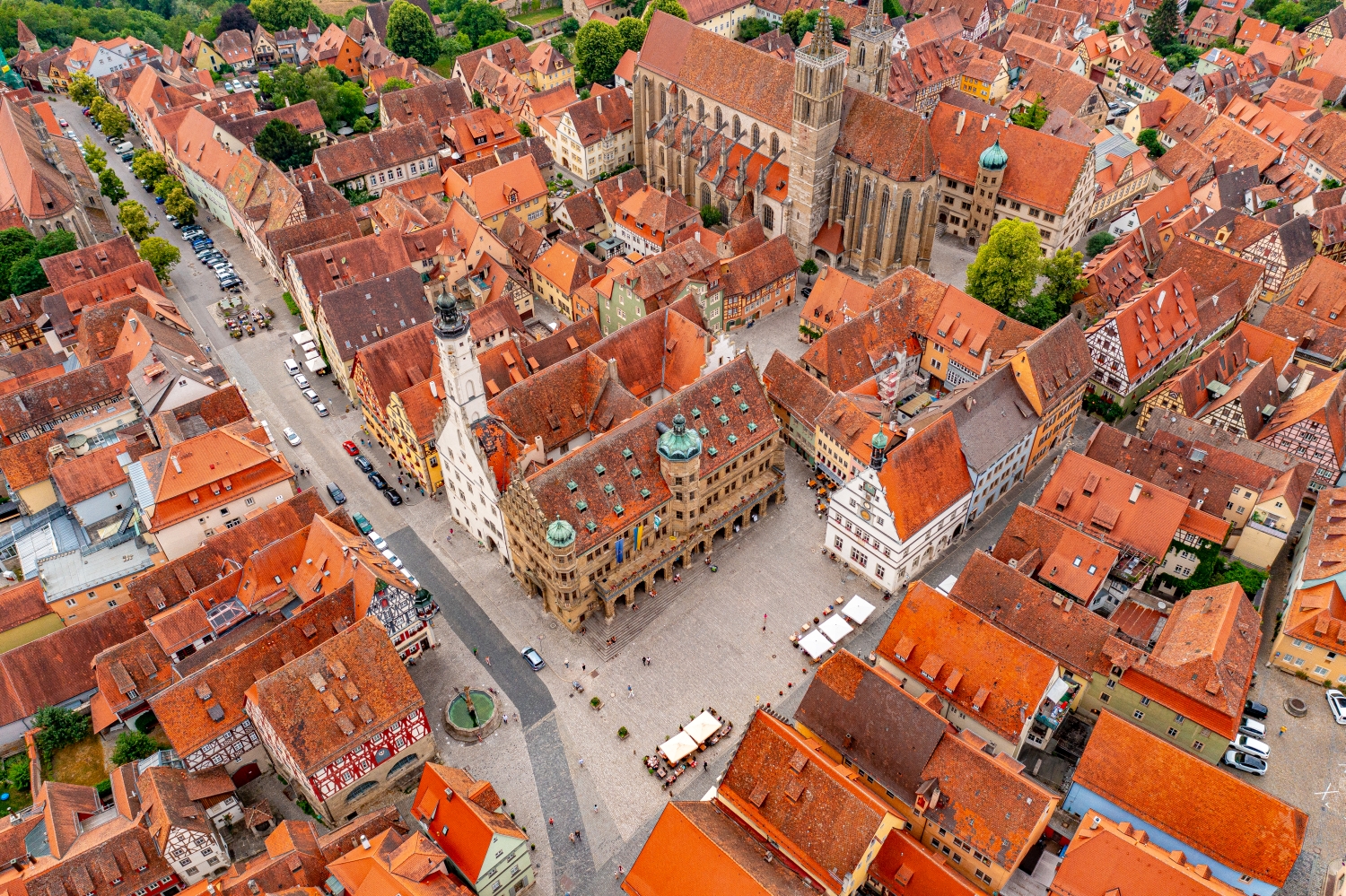
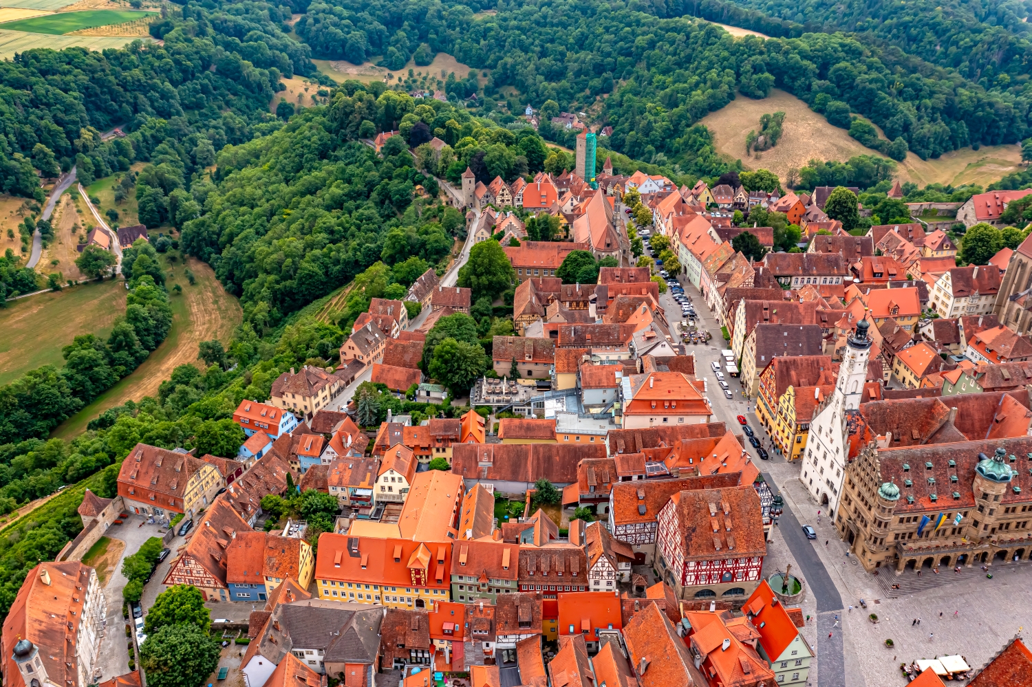
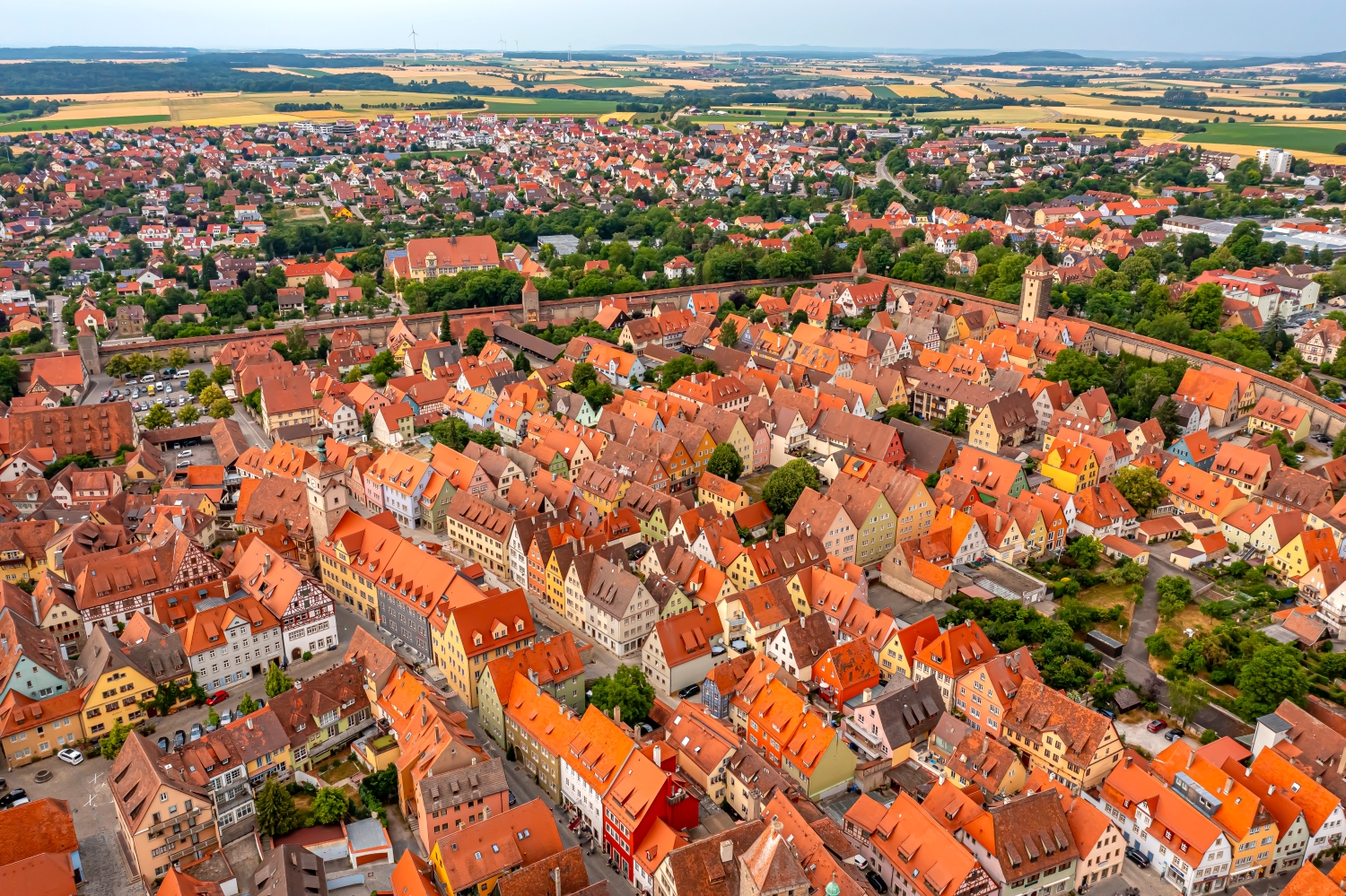
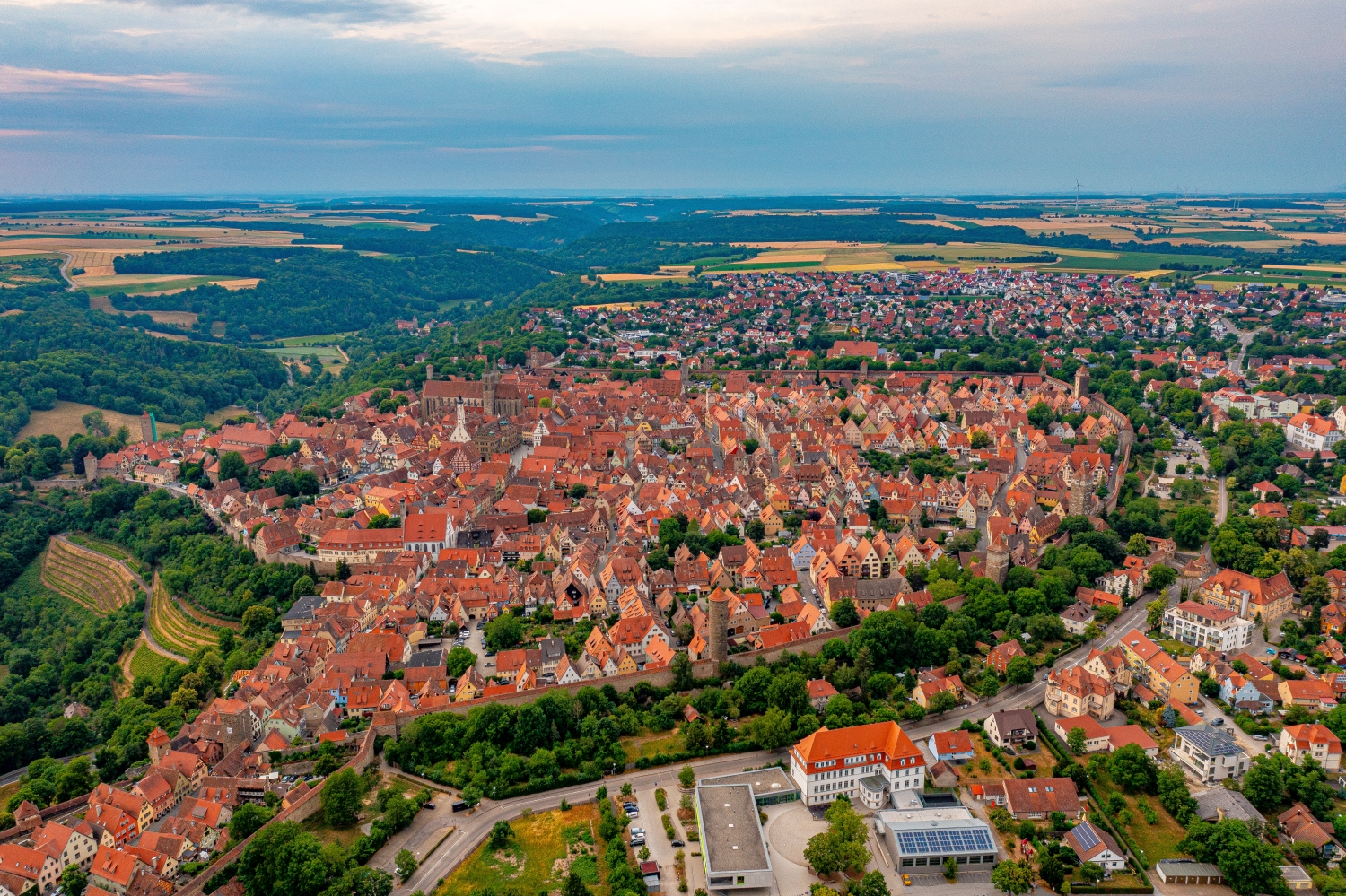
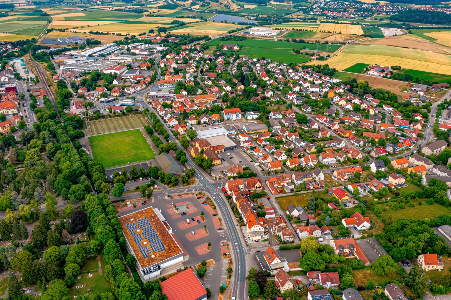
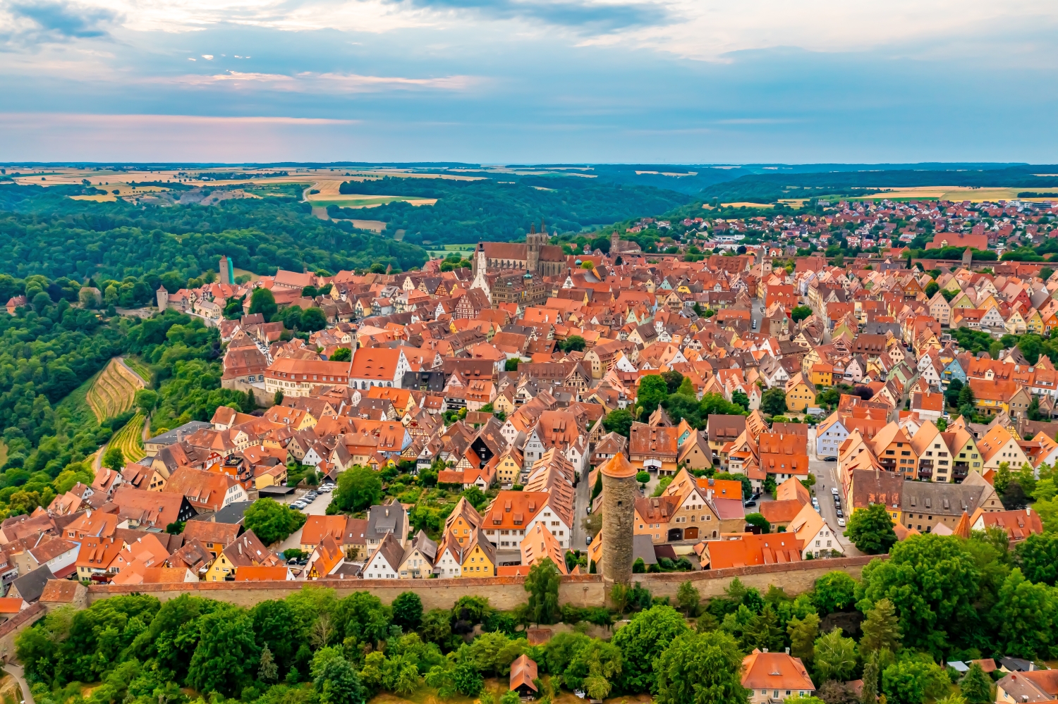
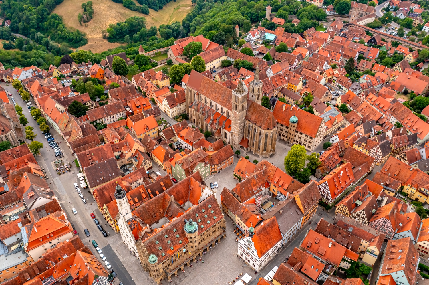
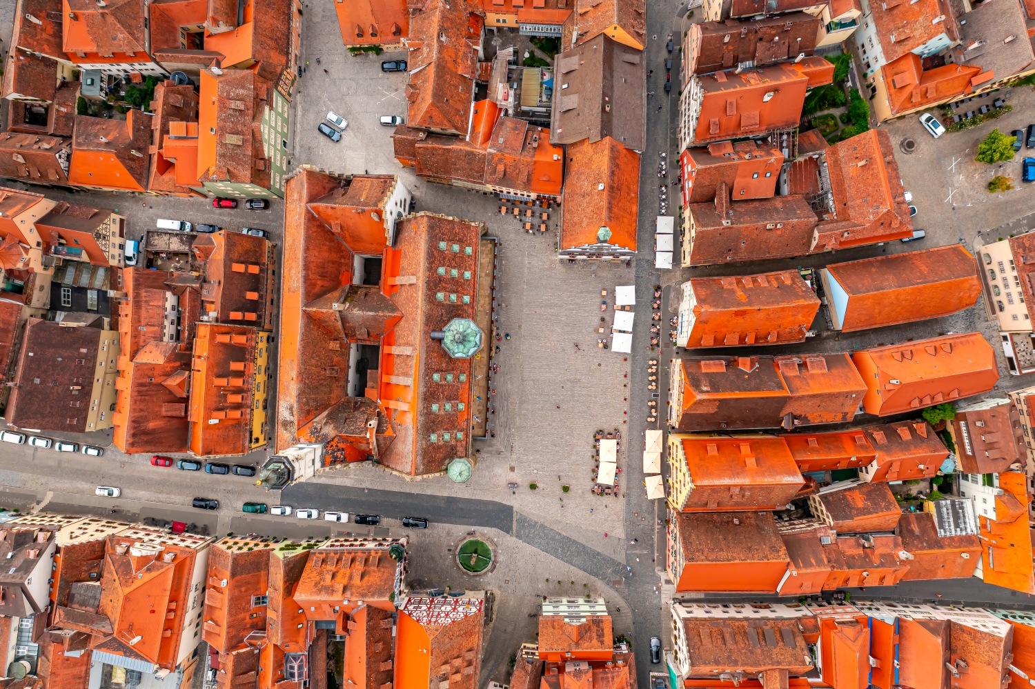
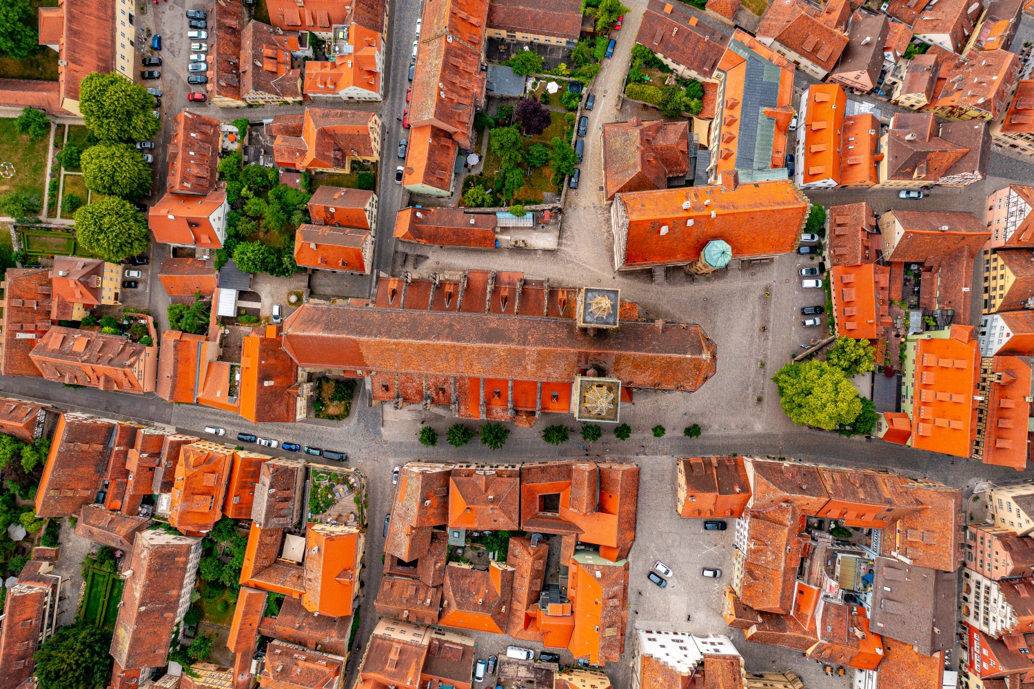
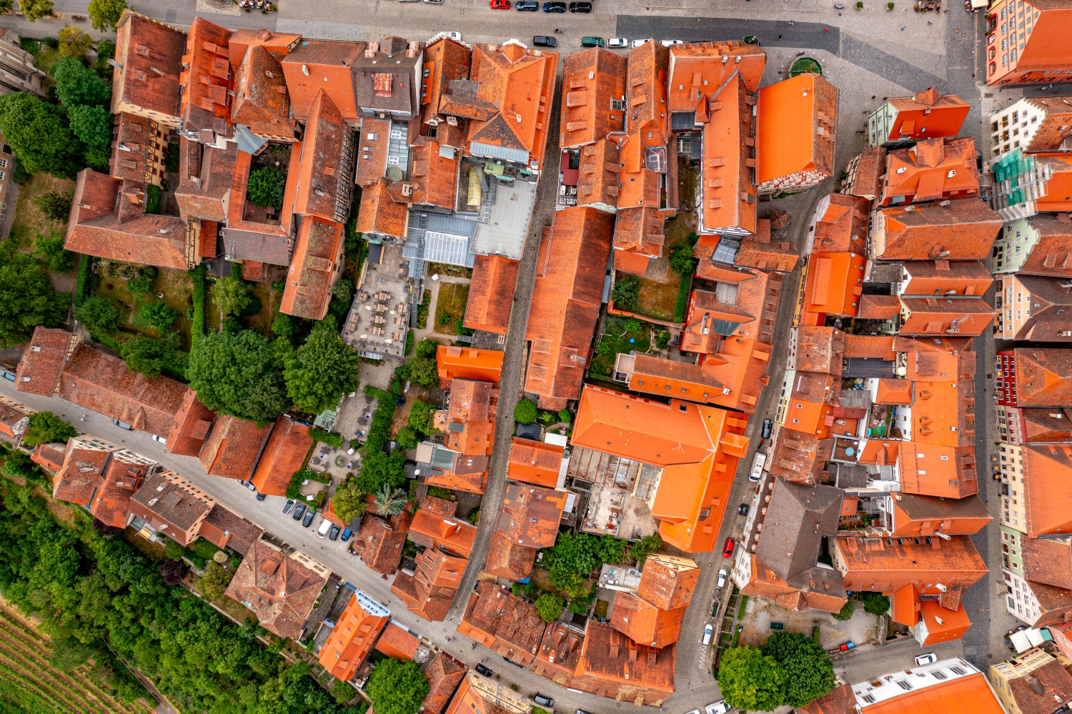
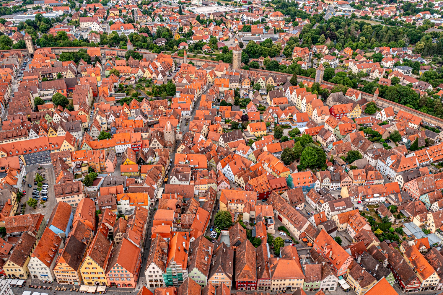
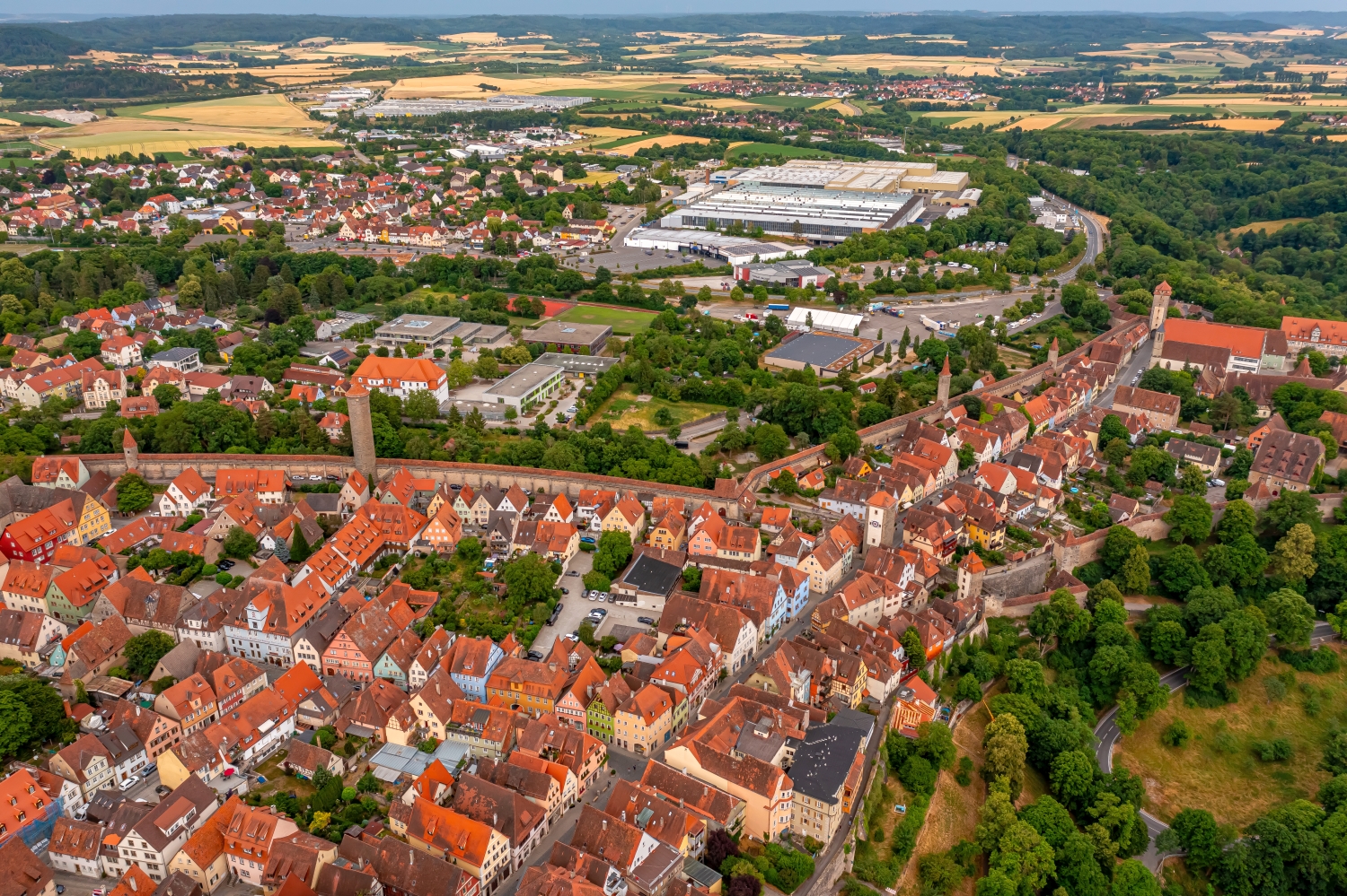
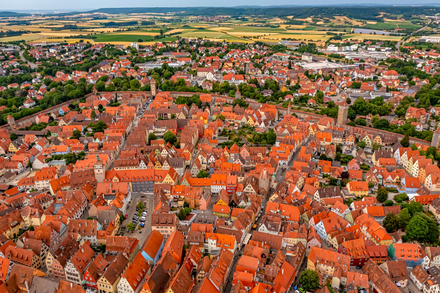
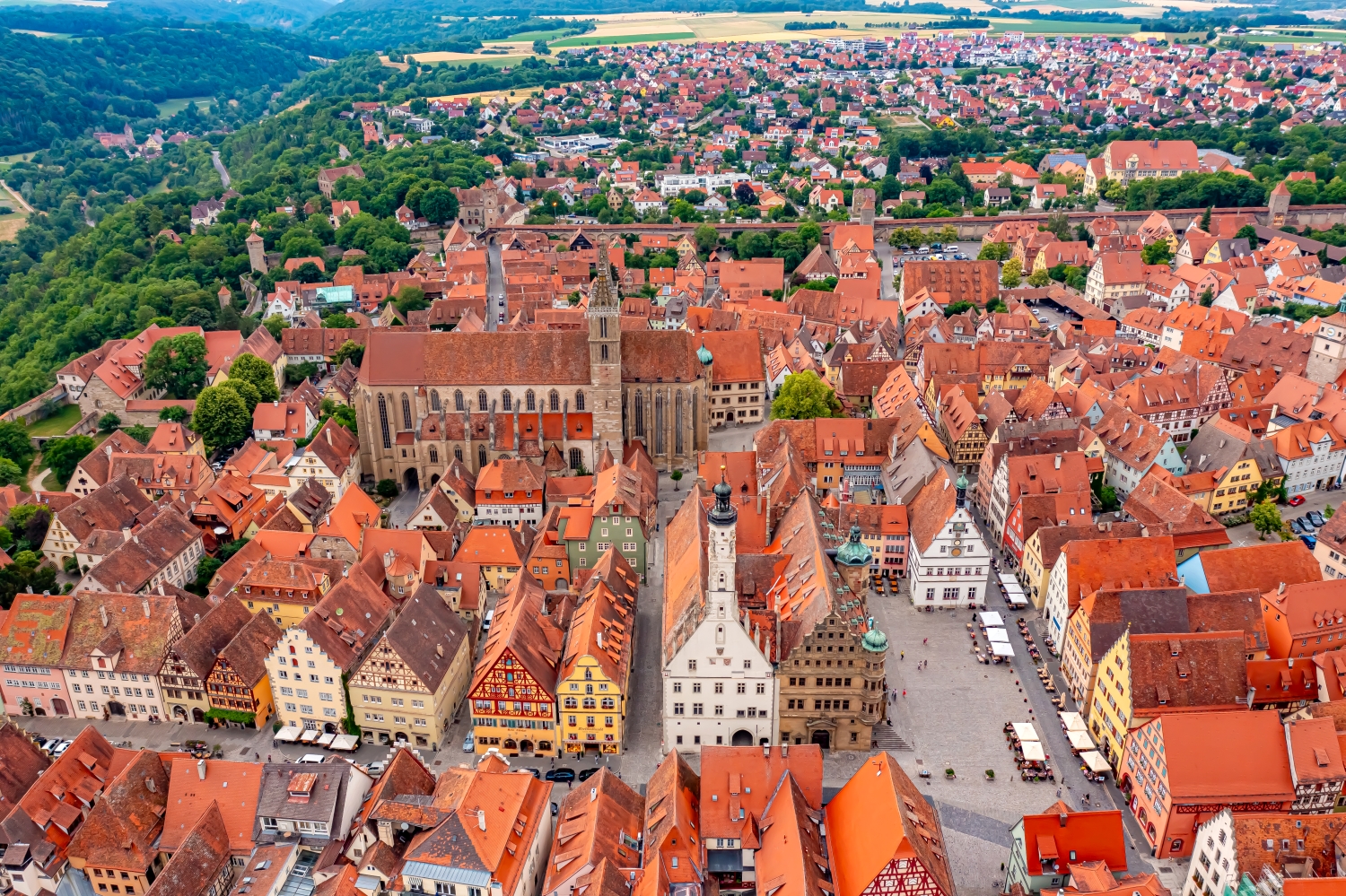
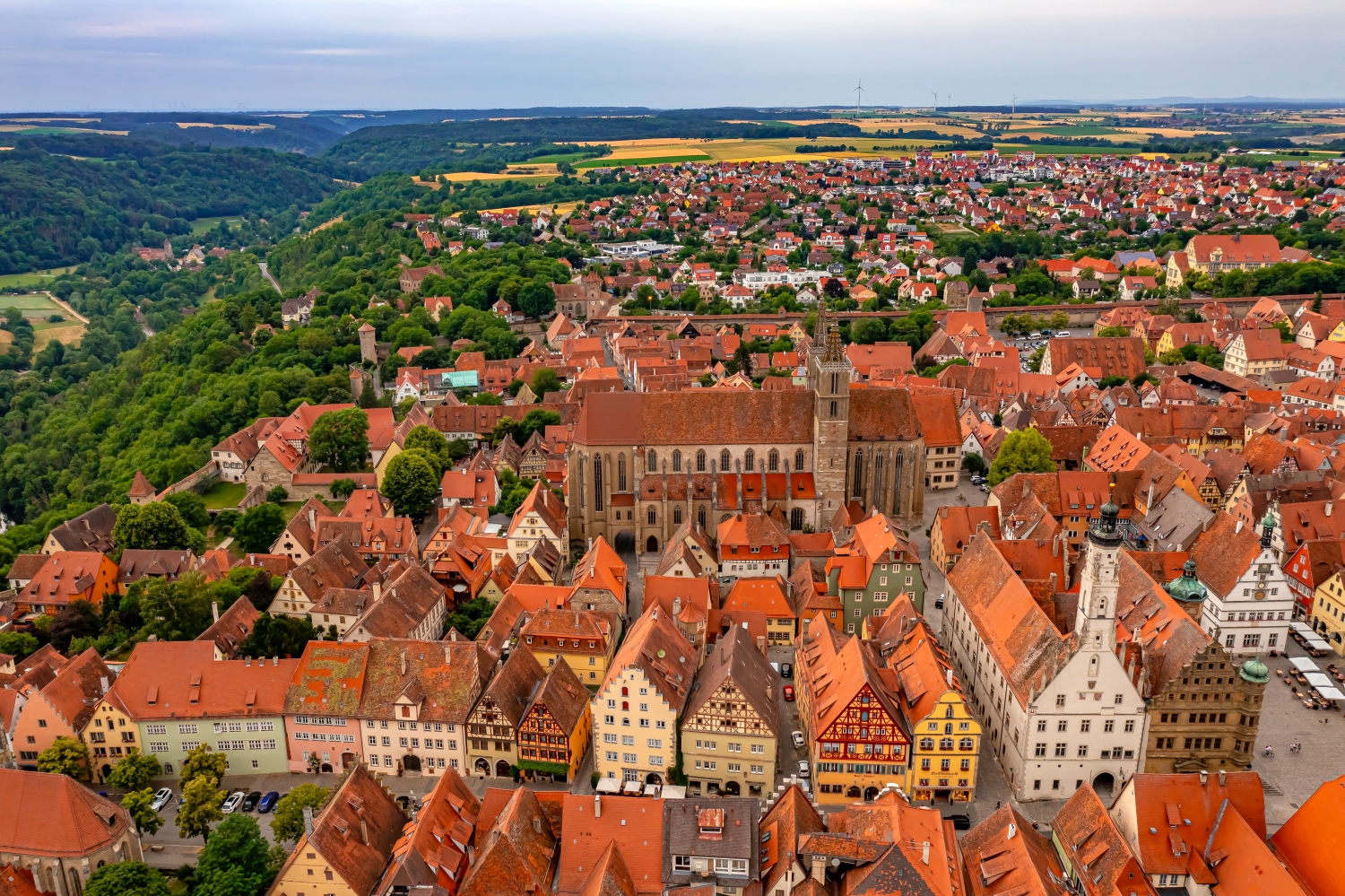
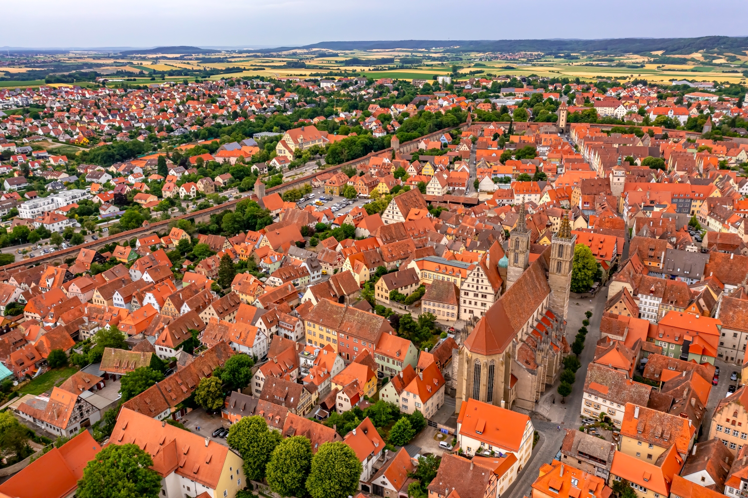
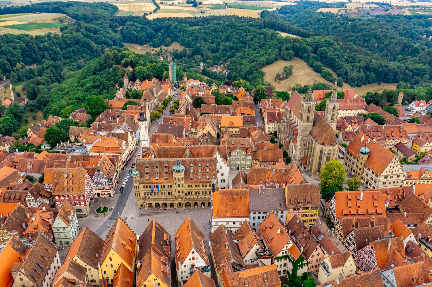
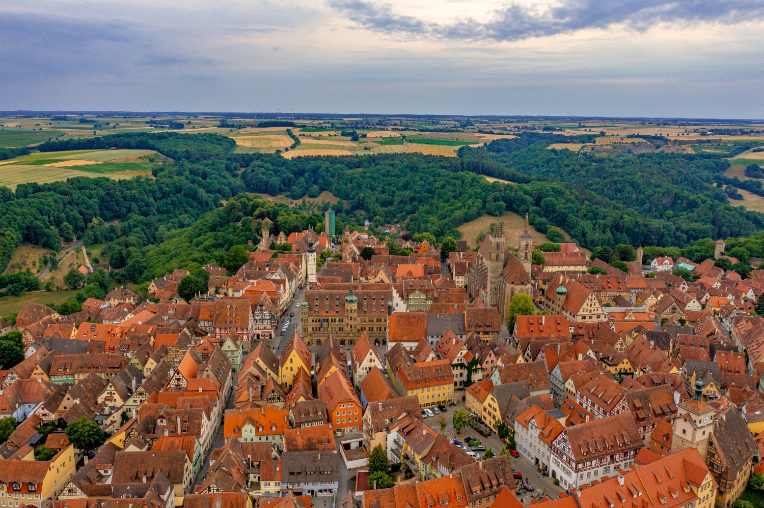
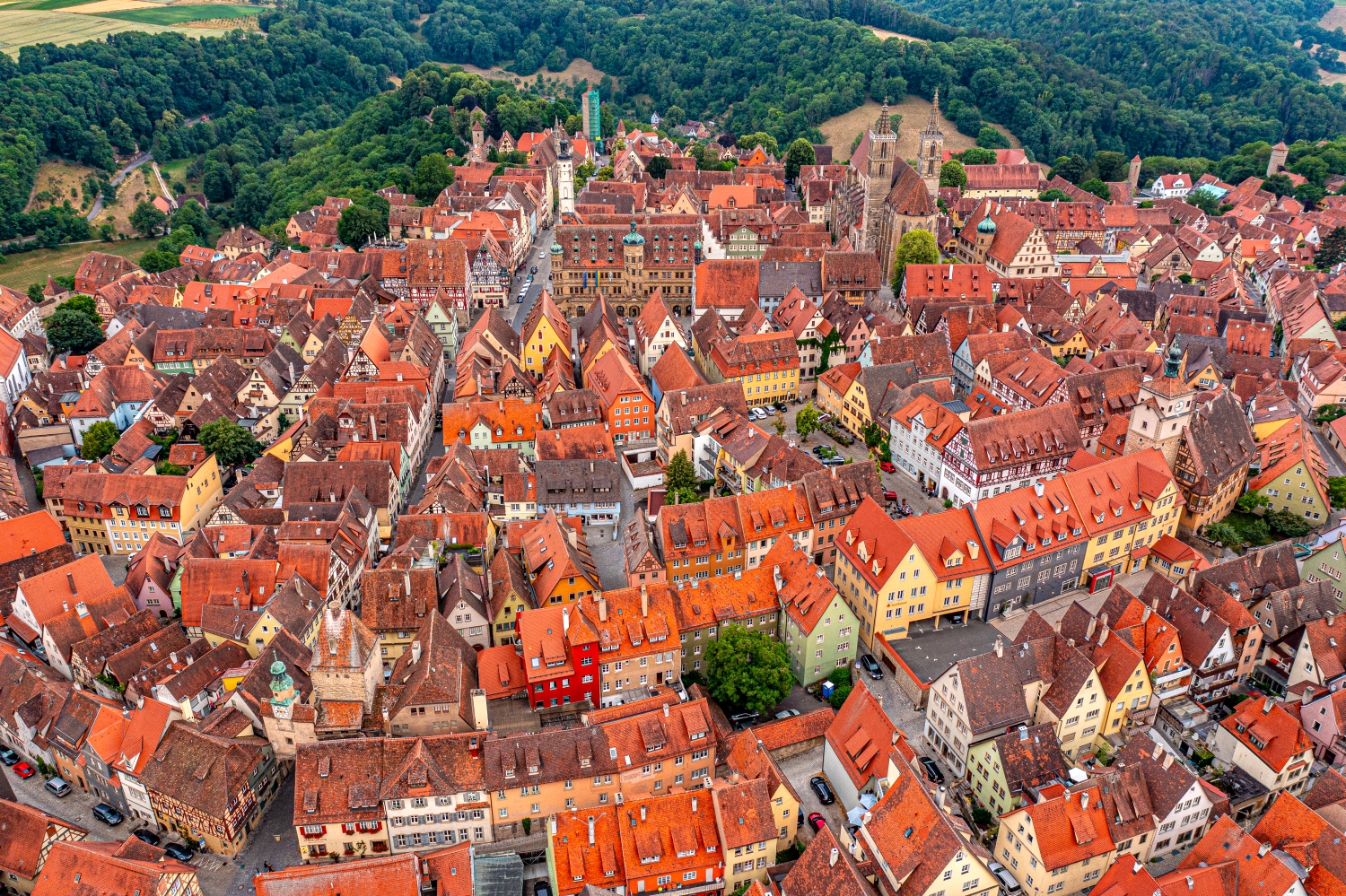
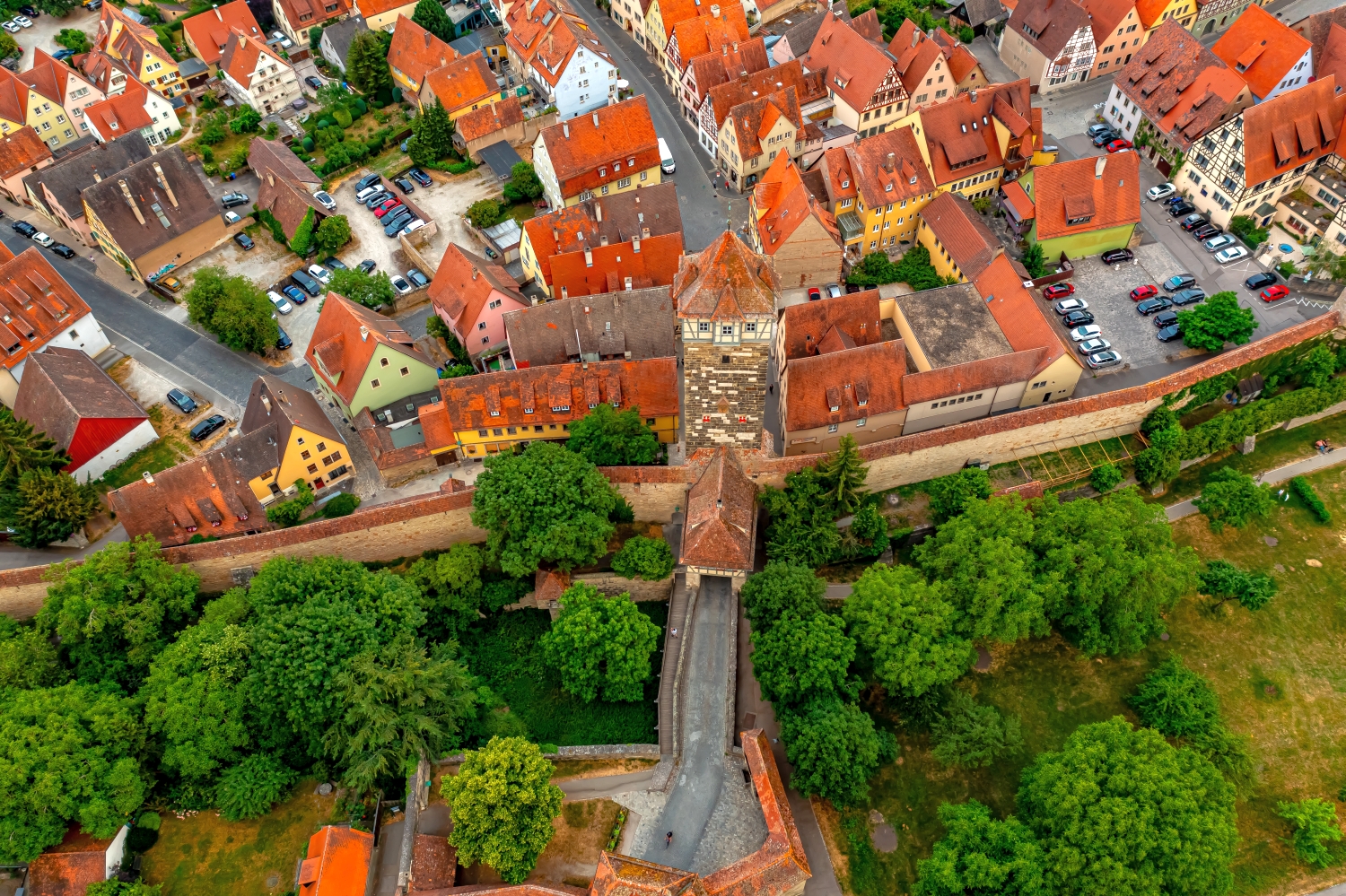
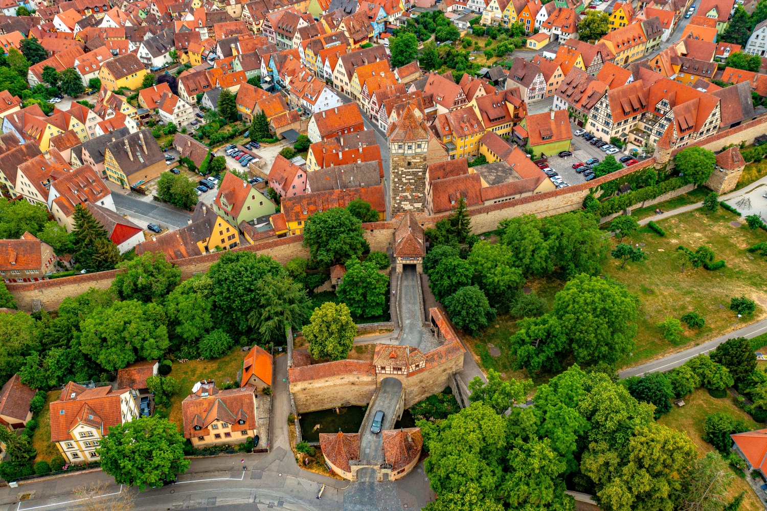
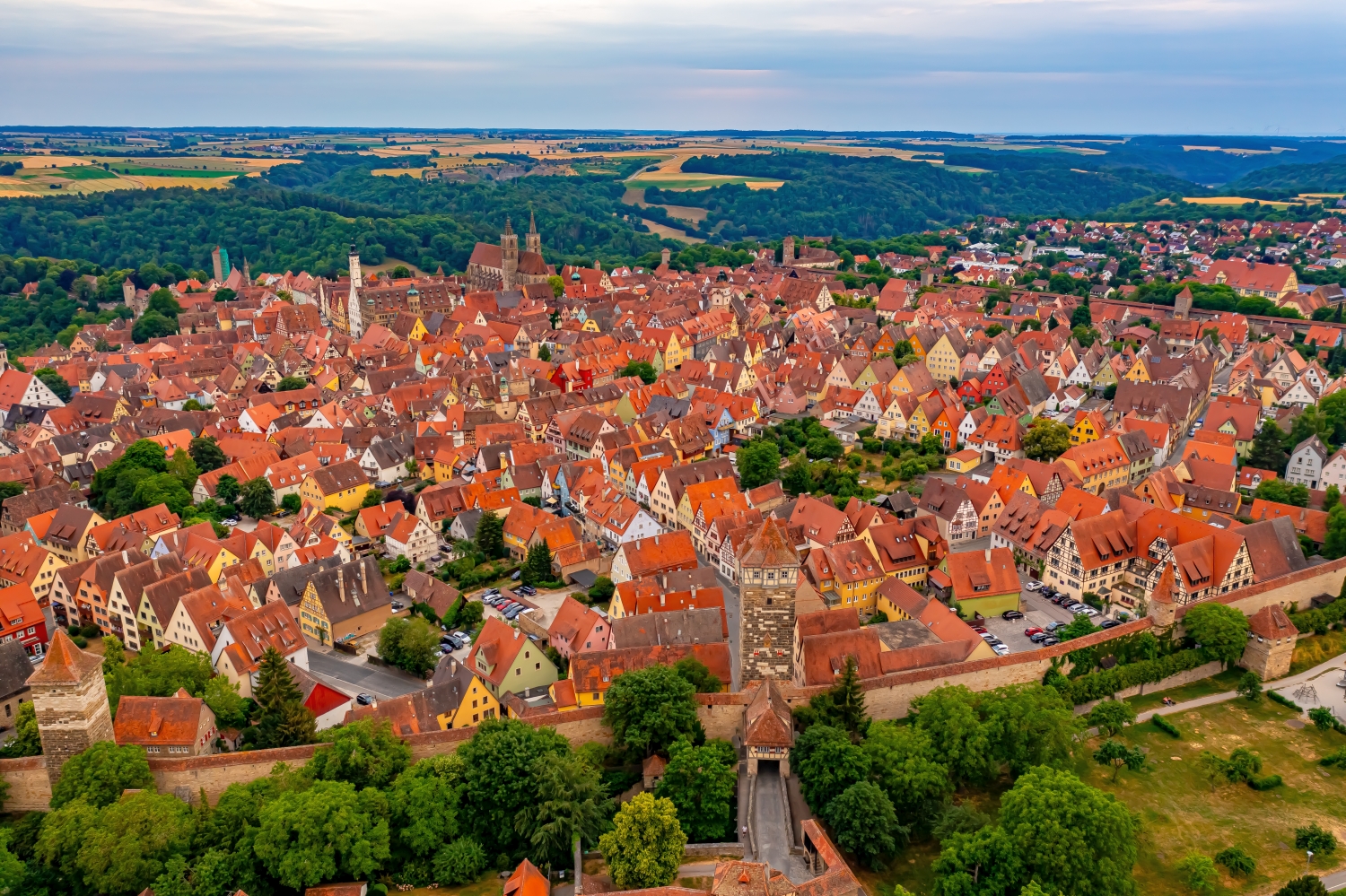
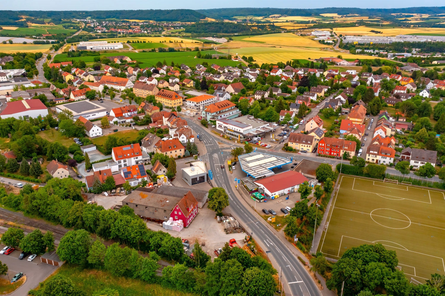
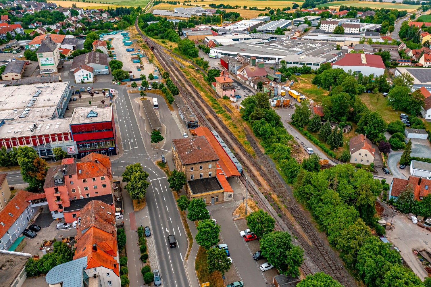
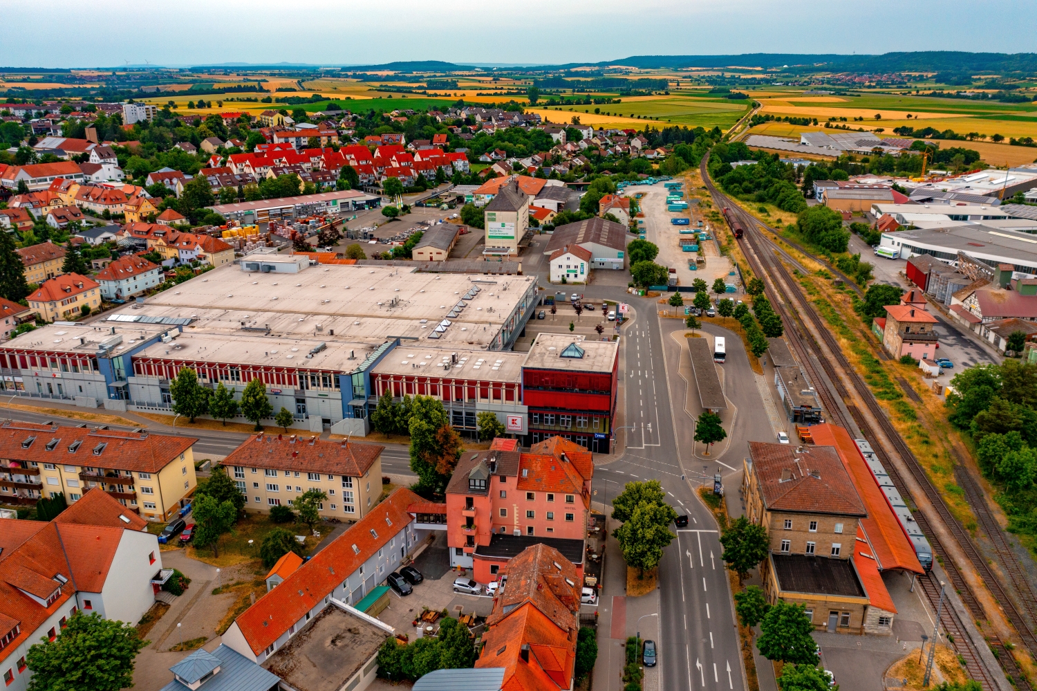
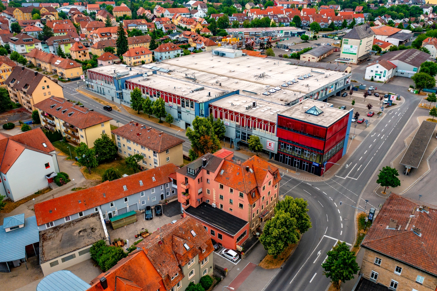
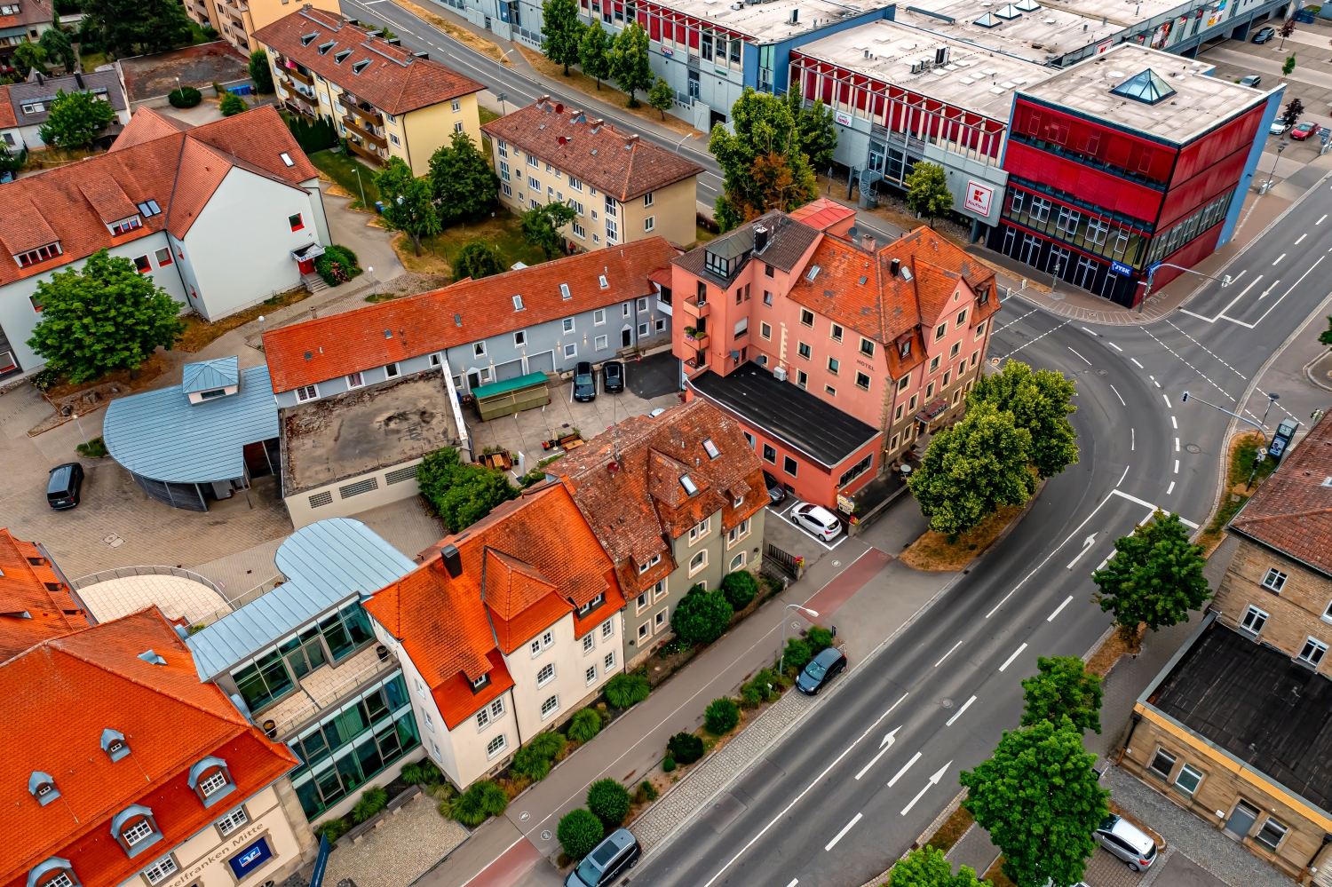
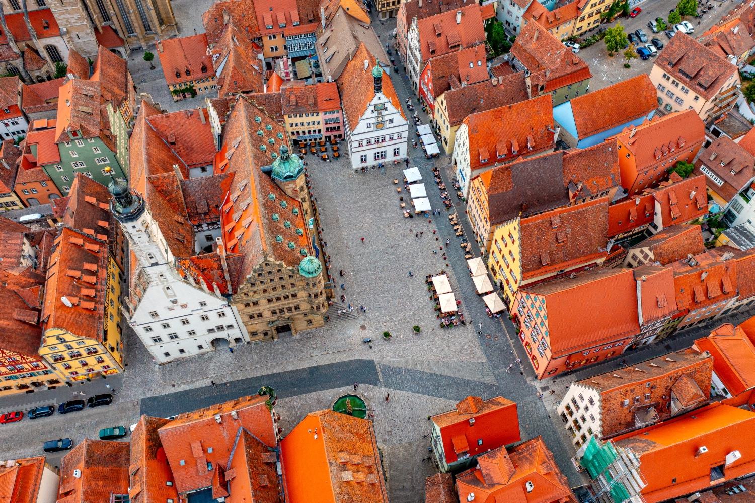
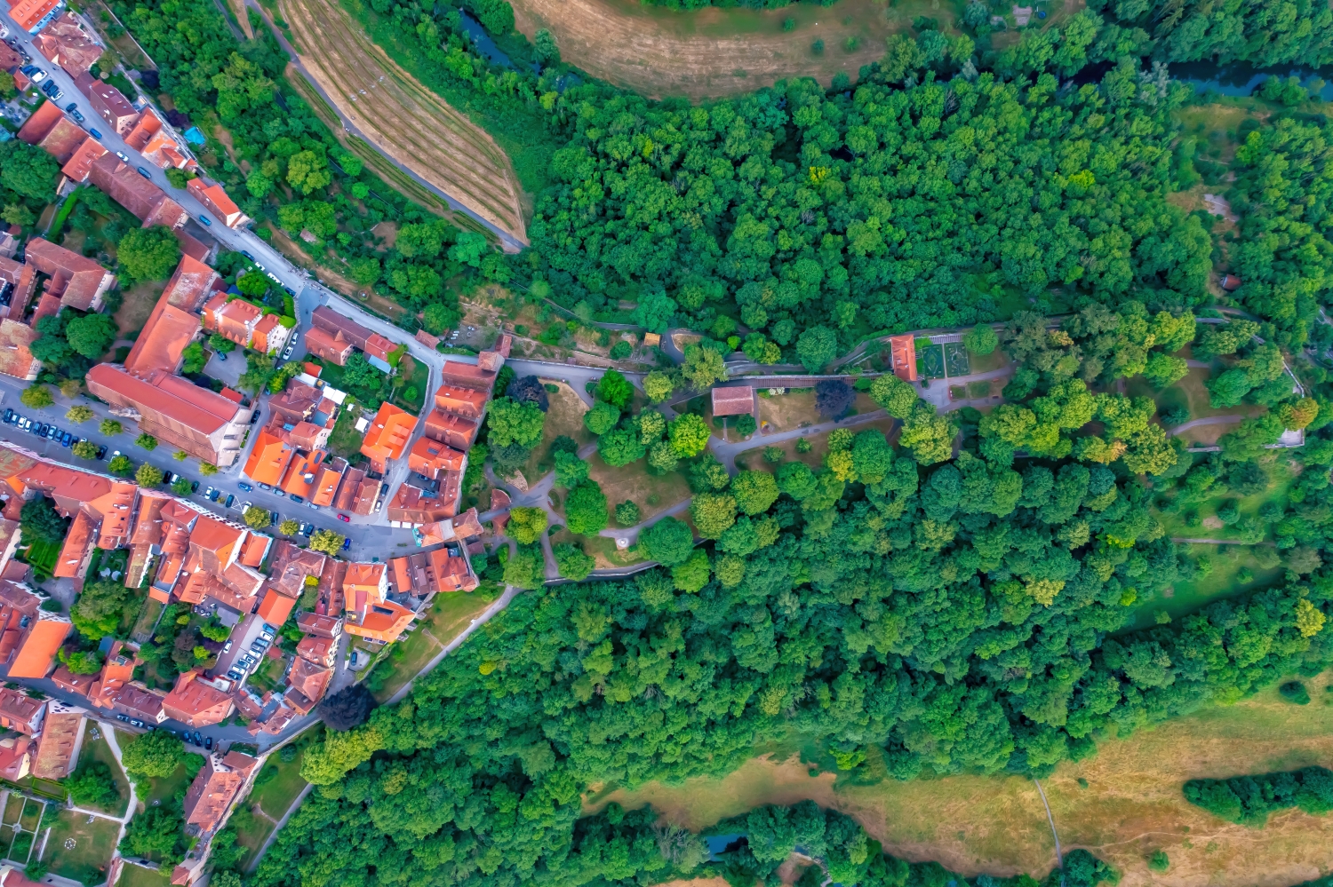
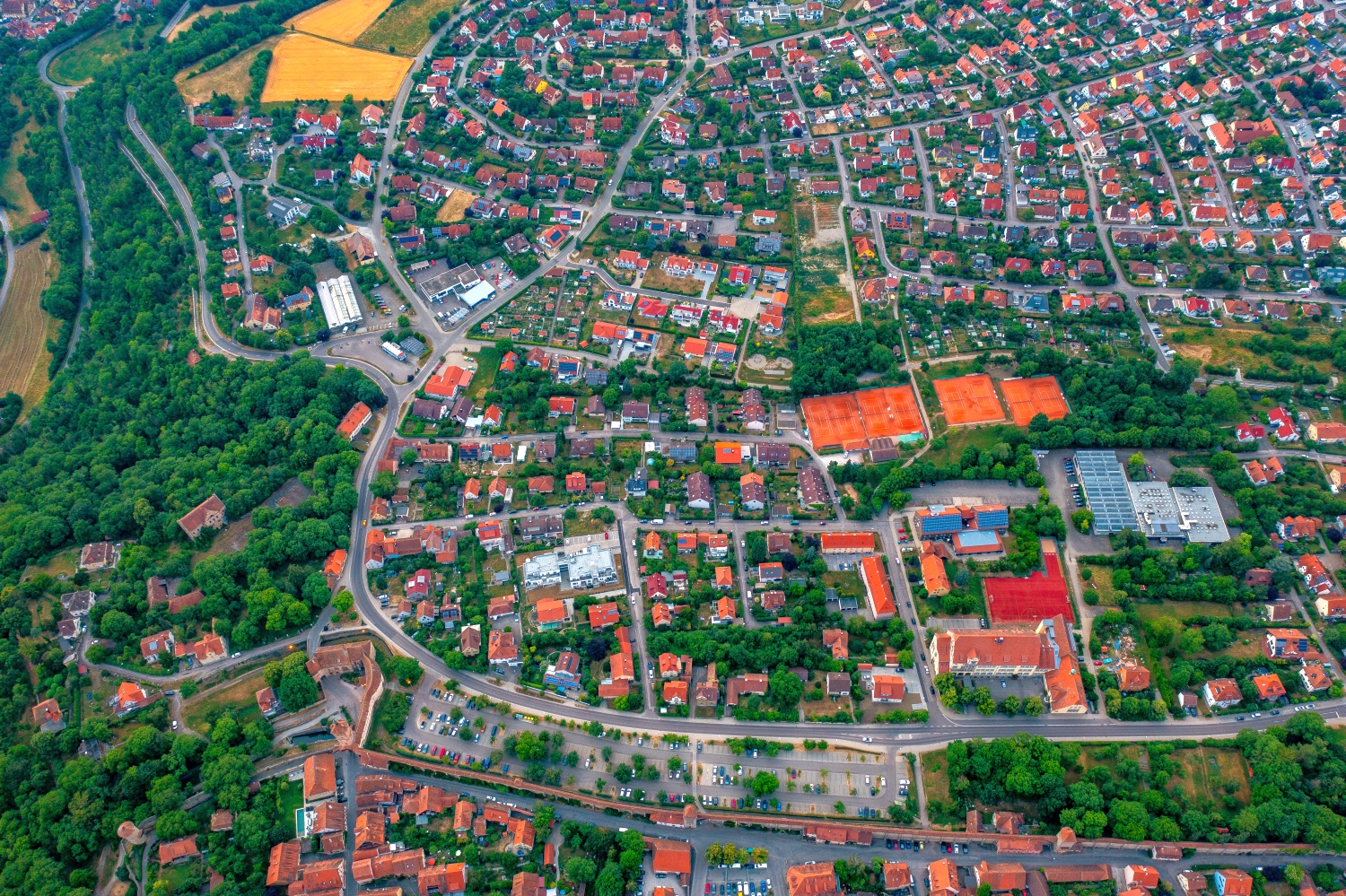
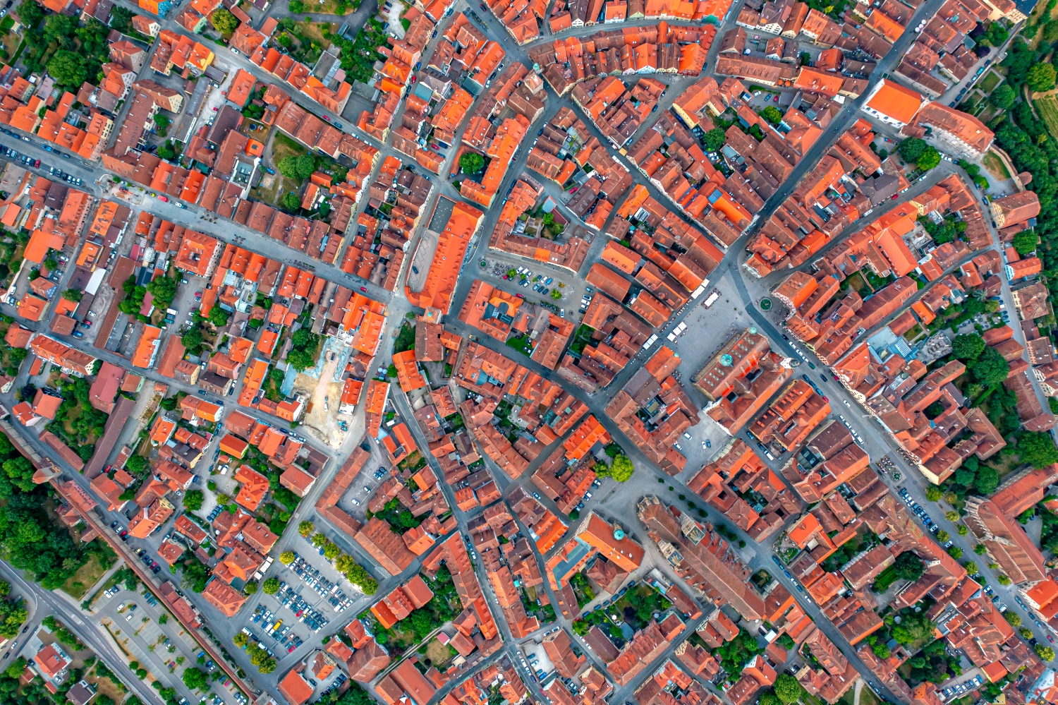
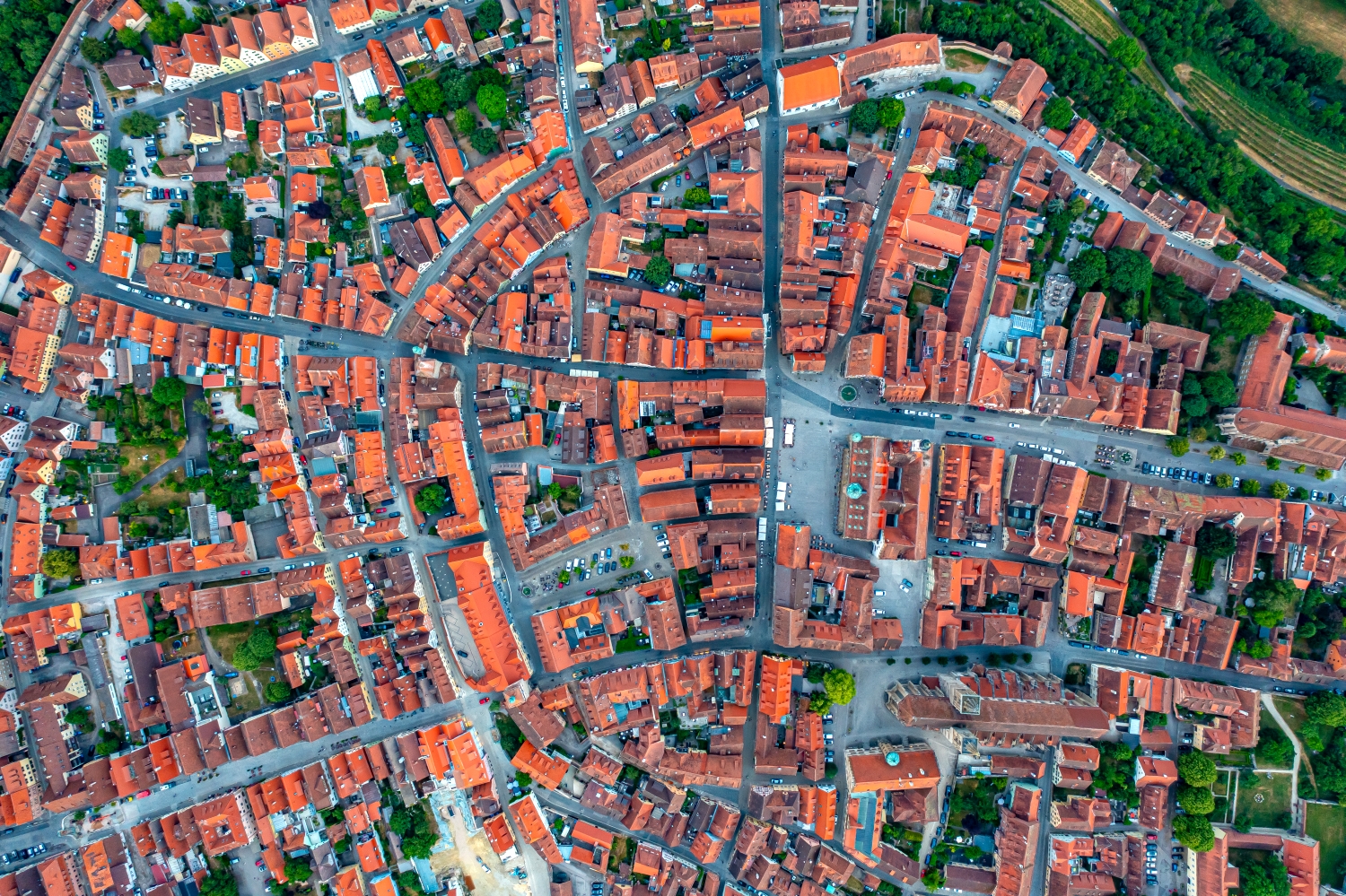
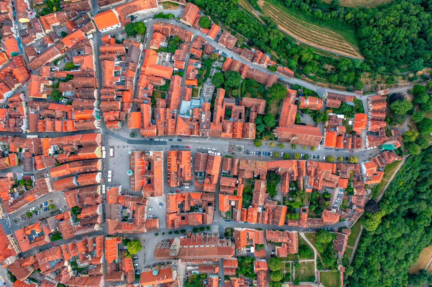
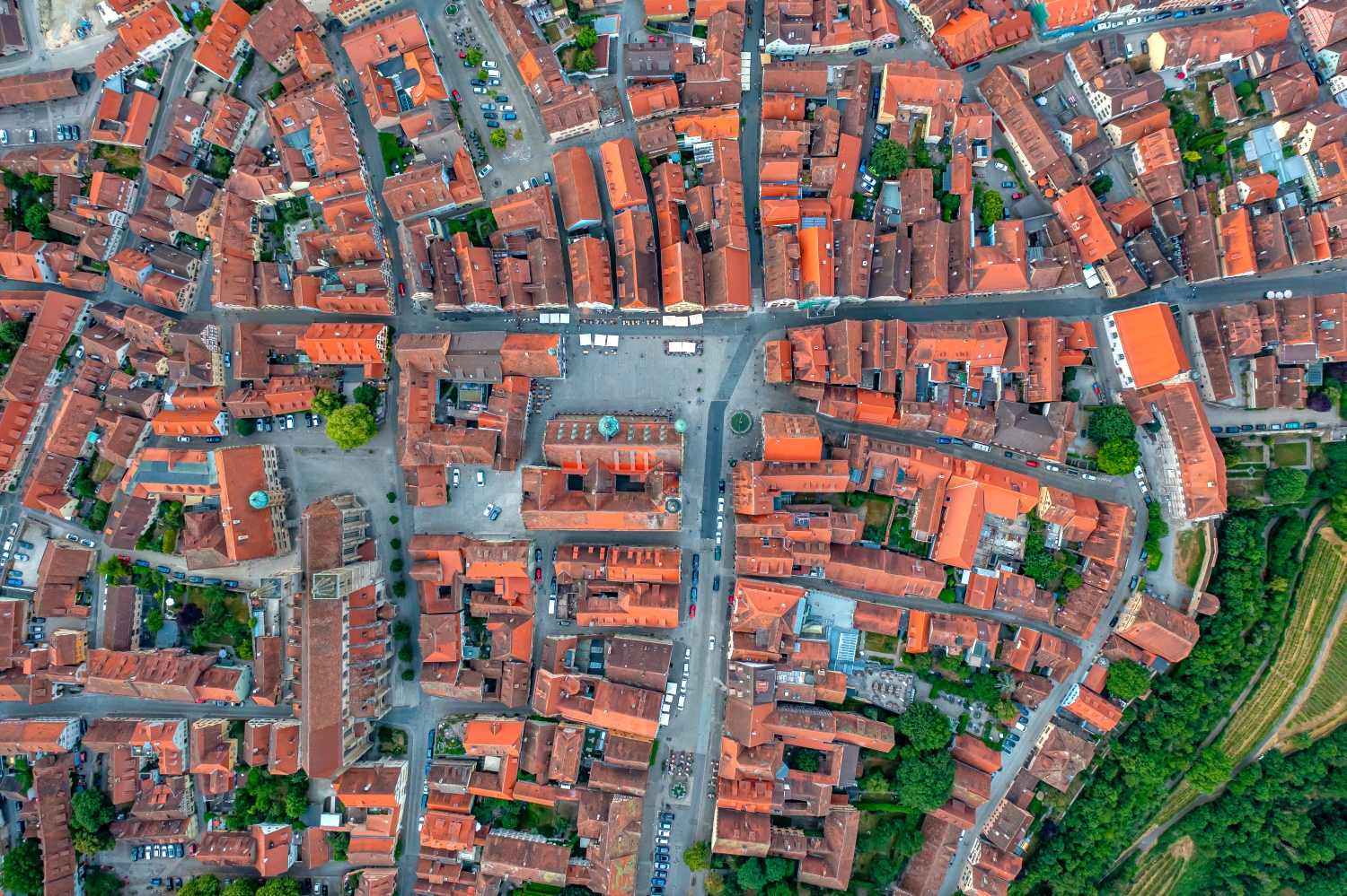
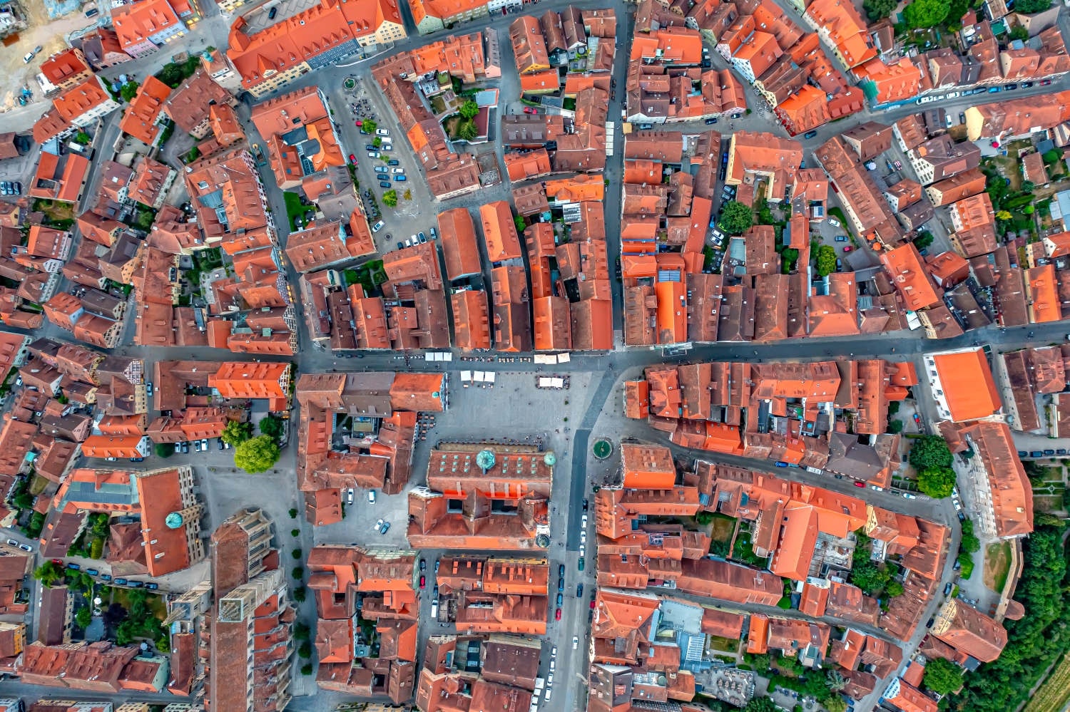
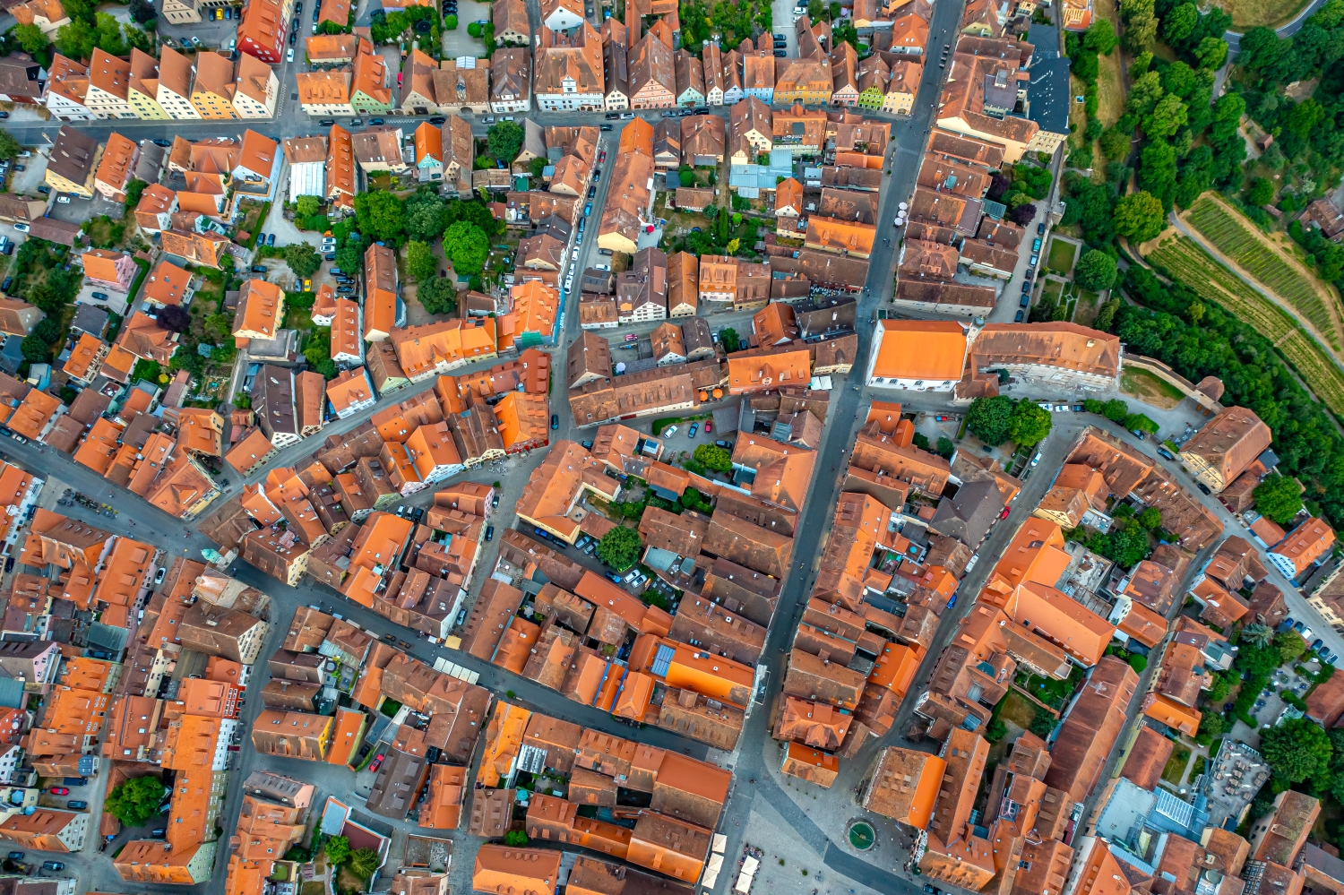
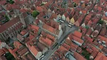
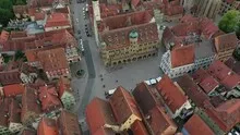
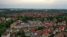
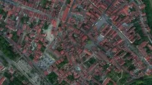
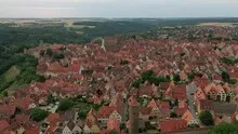
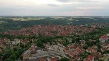
In Rothenburg ob der Tauber, the dense sequence of red roofs is noticeable long before individual buildings can be identified. Their rhythm changes around squares and larger buildings. Behind it the land opens up, giving the compact city its distinctive outer contour.
The old town as a coherent form
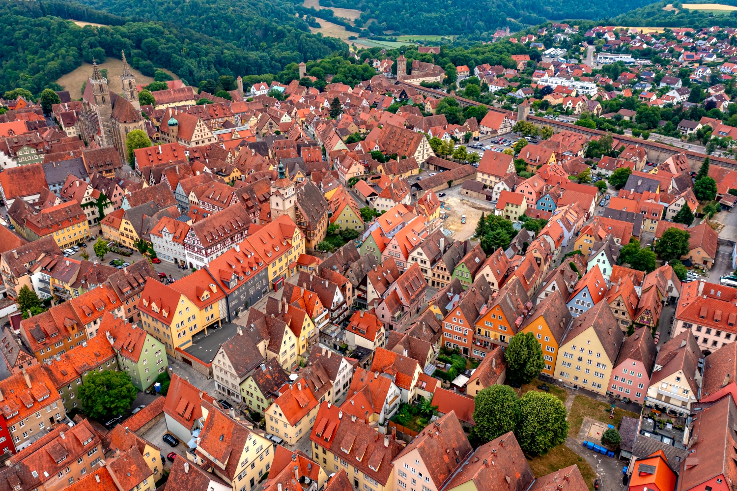
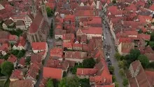
When looking at Rothenburg, the roof ridges change direction several times over short stretches. In one place the structure suddenly opens up. That's precisely why it's worth not just describing the old town based on a single gate or tower, but also taking these open spaces into account.
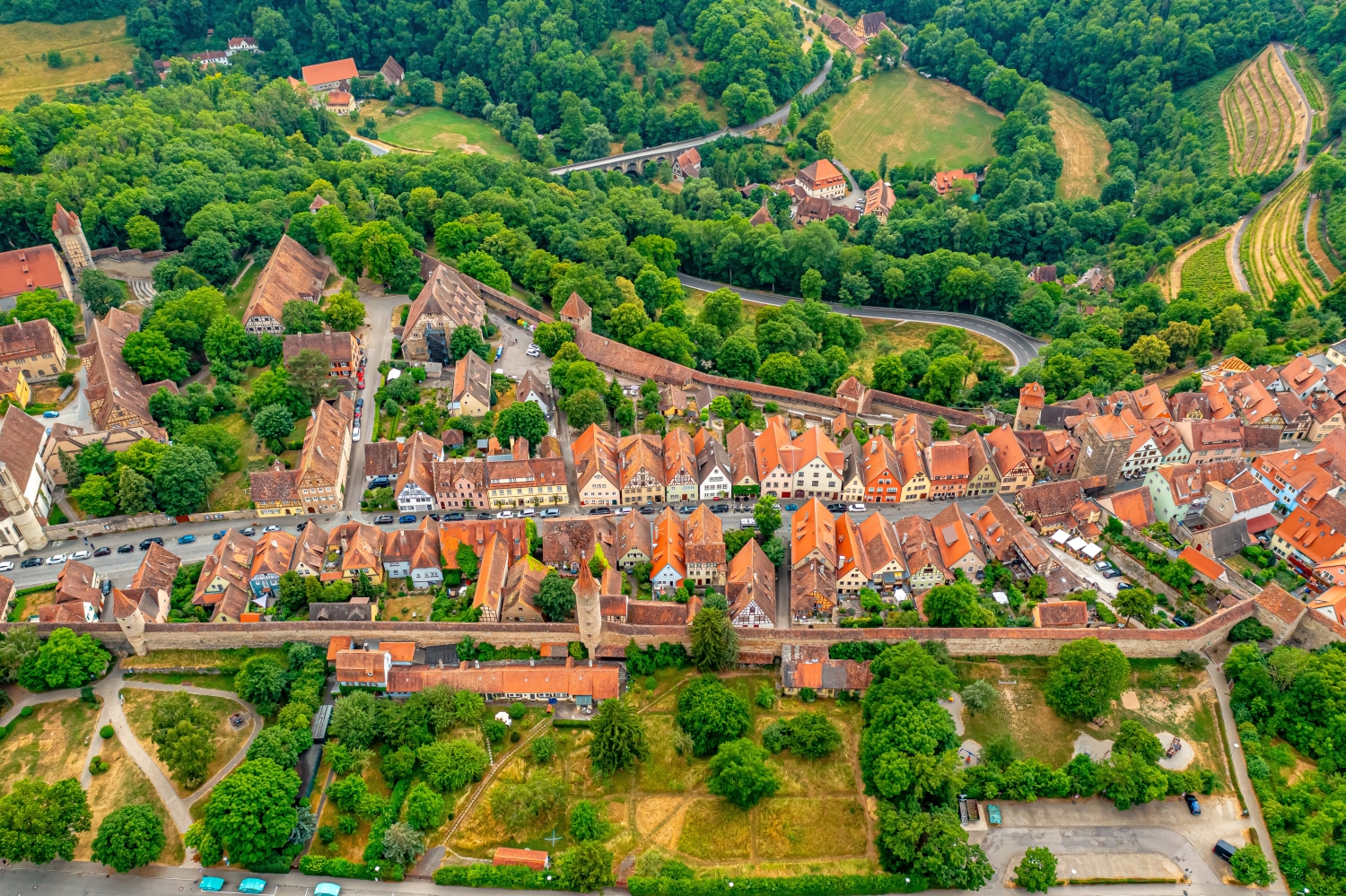
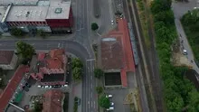
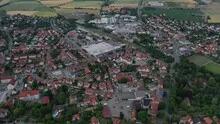
The gaps between the houses reveal how tightly built the place is. An inner courtyard opens up the roof structure, a treetop covers part of it, and a wide street separates two blocks. Anyone who looks at the photo can follow these gaps and get a clearer picture than if they tried to identify each building individually. A particularly suitable view for a city portrait is one in which the view from a clearly visible roof can move on to the neighboring streets.
Follow the course of the border
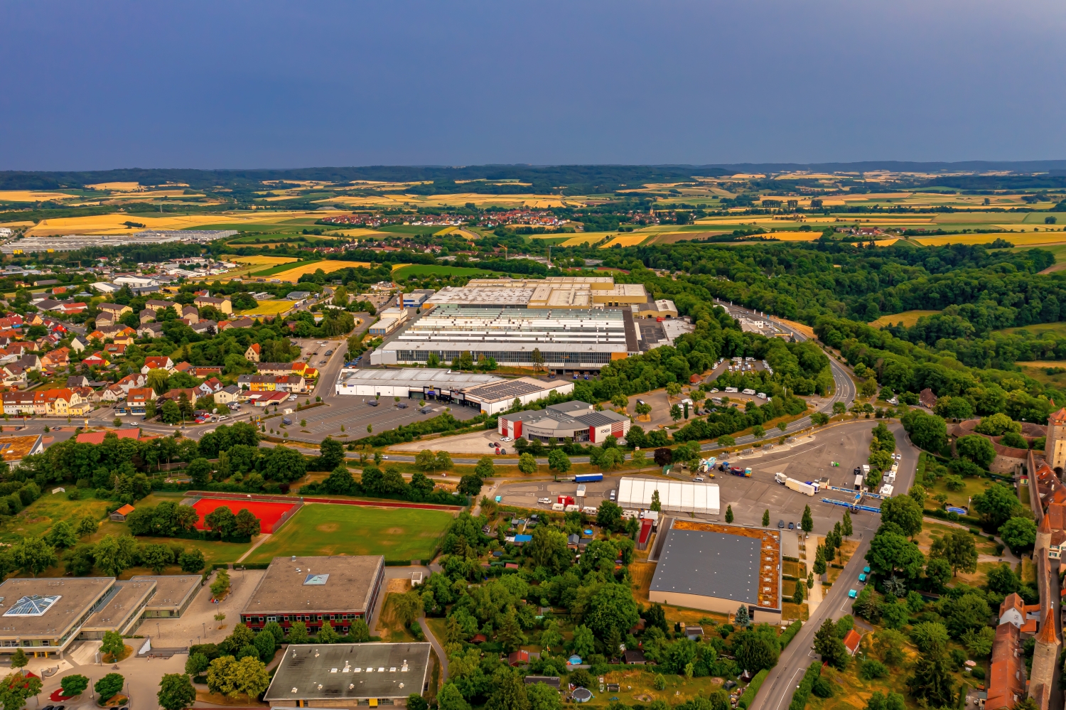
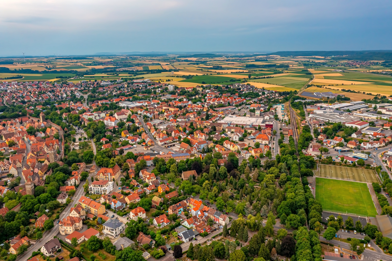
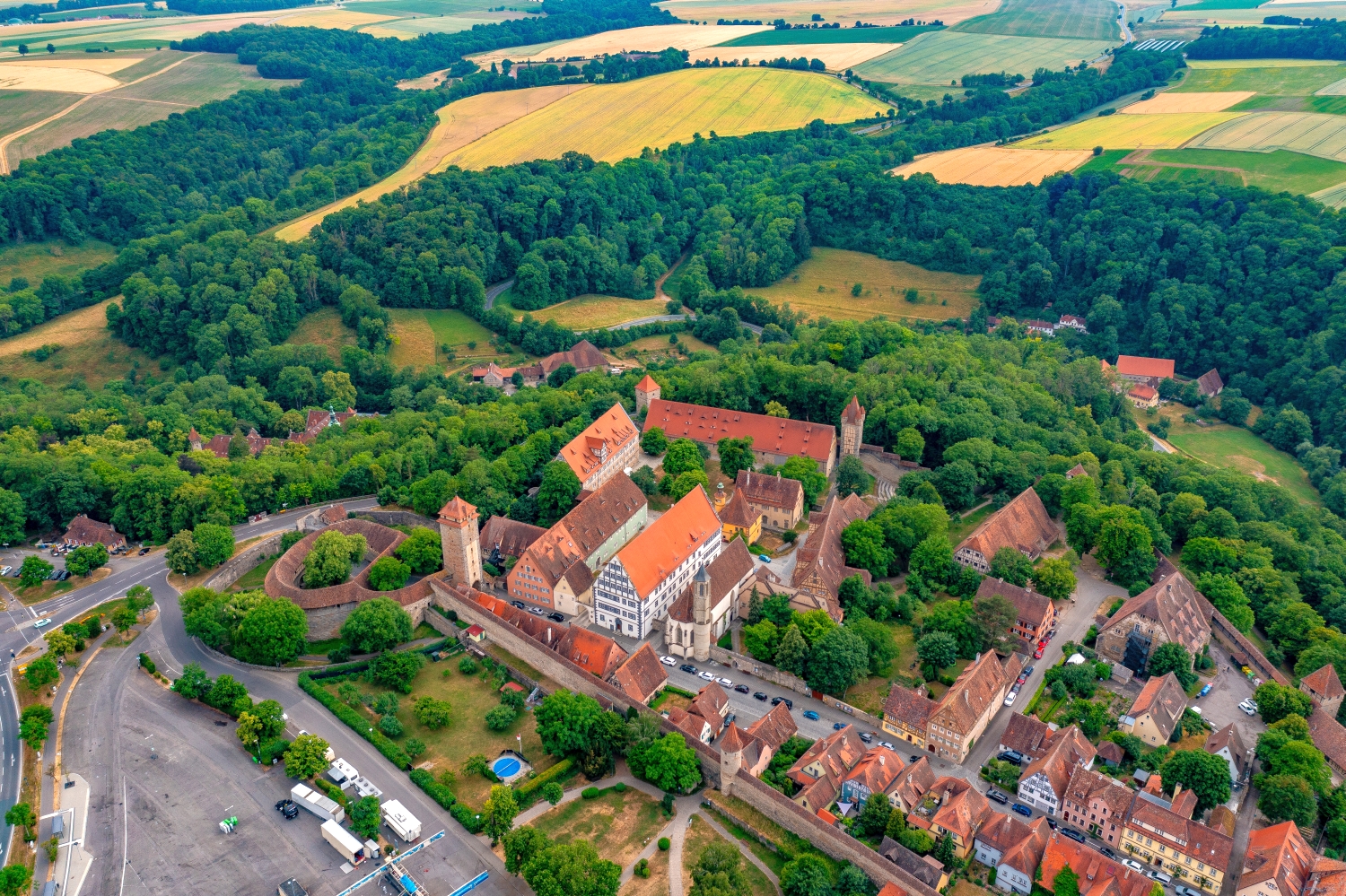
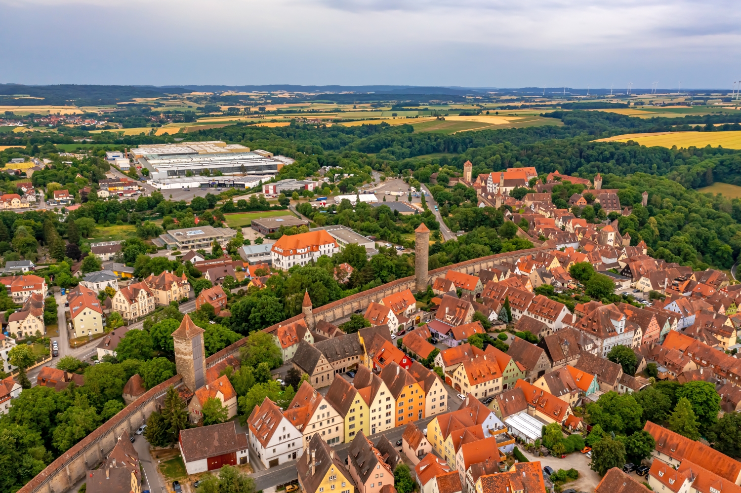
You can usually only see the next side of a wall on the ground. From the air, several changes of direction are visible at the same time. The transition from a straight stretch to a corner or goal area is particularly revealing. It gives the image a tangible reference point. If you want to show the outer contour, leave some space in front of and behind the border in addition to the wall. This makes it clear which areas belong together and where the view extends into the adjacent terrain.
Recognize the shape of the valley area
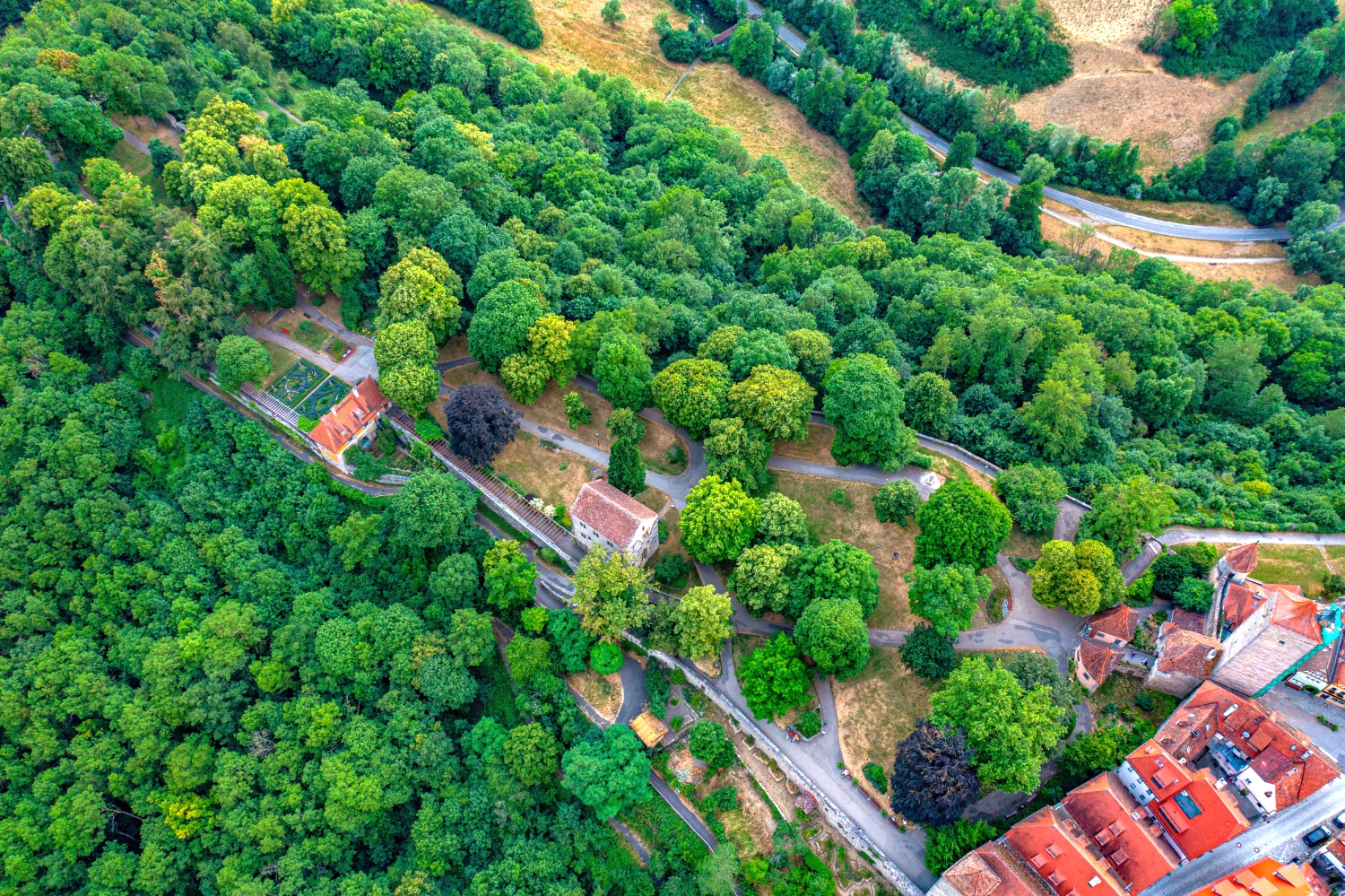
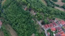
The location in a valley is made clear in the aerial photo by the lateral boundaries. A nearby slope pushes forward in front of a distant one, and the valley floor opens up in between. If the section is too narrow, it can easily give the impression of a flat surface. A shot with a bit of a slope at the edge of the image preserves the context. Orientation is particularly successful when there is also a familiar size comparison, such as a street or a house. The eye can then better assess the depth between the individual landscape levels.
Warm tones within the series
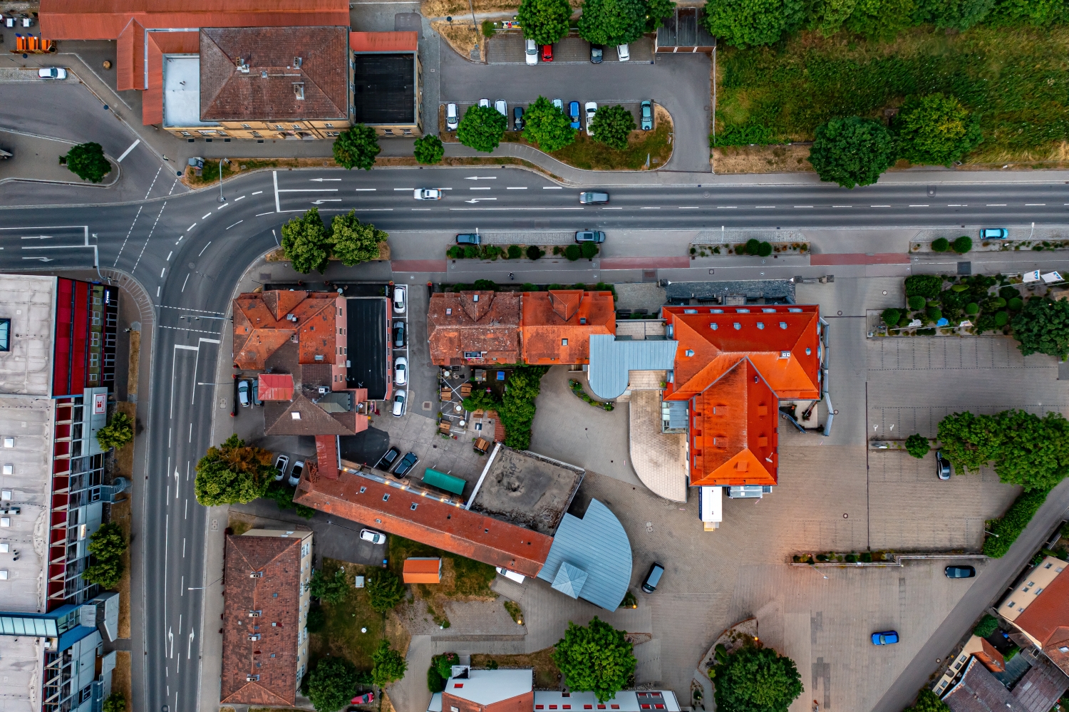
To switch between two of the 61 aerial photos, shot 44 and shot 18 can be called up directly in the gallery. In the second view, warm reds and browns have more weight than in the first. Red-brown and yellowish areas are particularly noticeable next to cooler surfaces. What is interesting when comparing is whether they are concentrated on a single object or appear spread out across the entire view.
Shot 1 and Shot 61 are among the views from June 29, 2023. According to the camera's time information, there are approximately 44 minutes between the two images. The exposure time was 1/80 second for the first of the images mentioned and 1/30 second for the second.
The Aerial Videos section supplements the photos with 11 clips. The aerial photographer's photographs linked there include “Rothenburg ob der Tauber from the air”. The relevant video page on Adobe Stock can be opened using the respective preview.
Prepare a cityscape for readers
For a city history, it can be informative to place the aerial photograph next to a street view. In one picture the roof is the reliable reference point, in the other it is often the entrance or the facade. The transition is best achieved via a corner, a square or a visible junction. An aerial photographer can take this connection into account when taking photos. In the printed photo series, a brief note about which side of the street the next photo was taken from is often enough.
Related motifs in the aerial photo archive
Two additional views can be used in the archive for comparison. The first can be found under Münnerstadt. In Münnerstadt, narrow roofs nestle close together. The second belongs to the article Bad Neustadt an der Saale. Red roofs and narrow streets form a compact core in Bad Neustadt an der Saale.