 F4LUFTBILDER

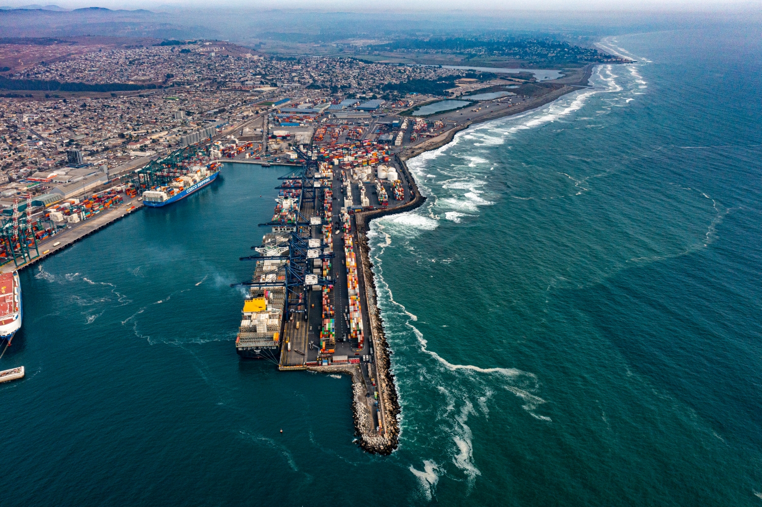
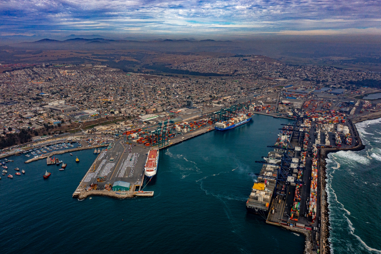
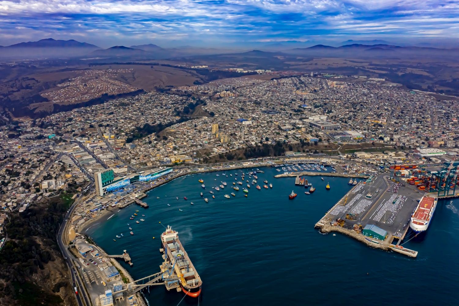
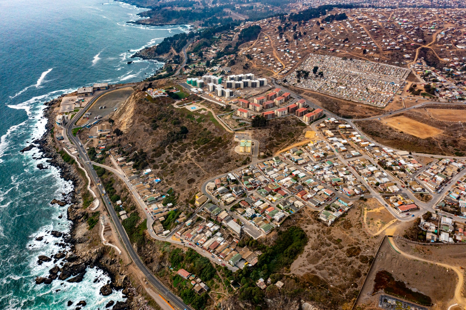
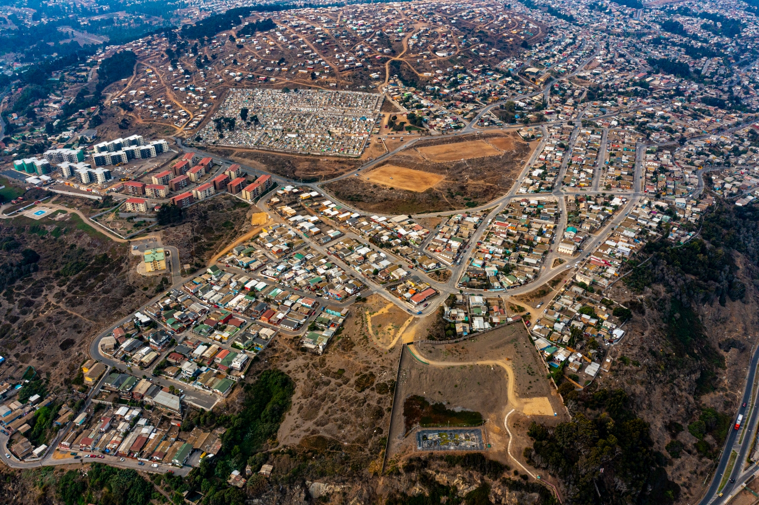
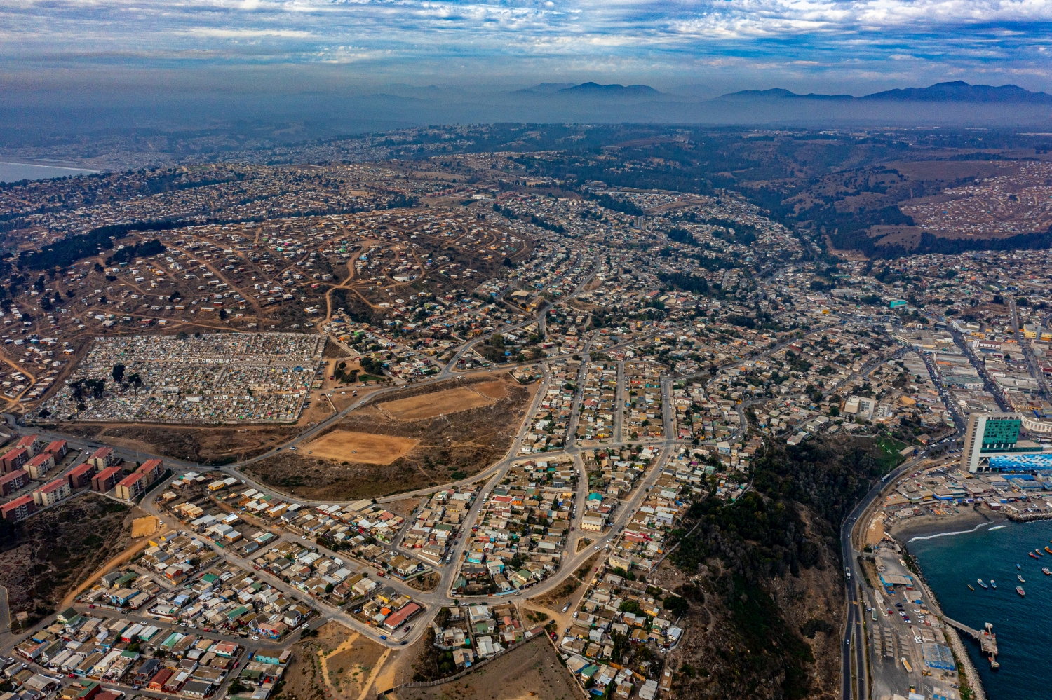

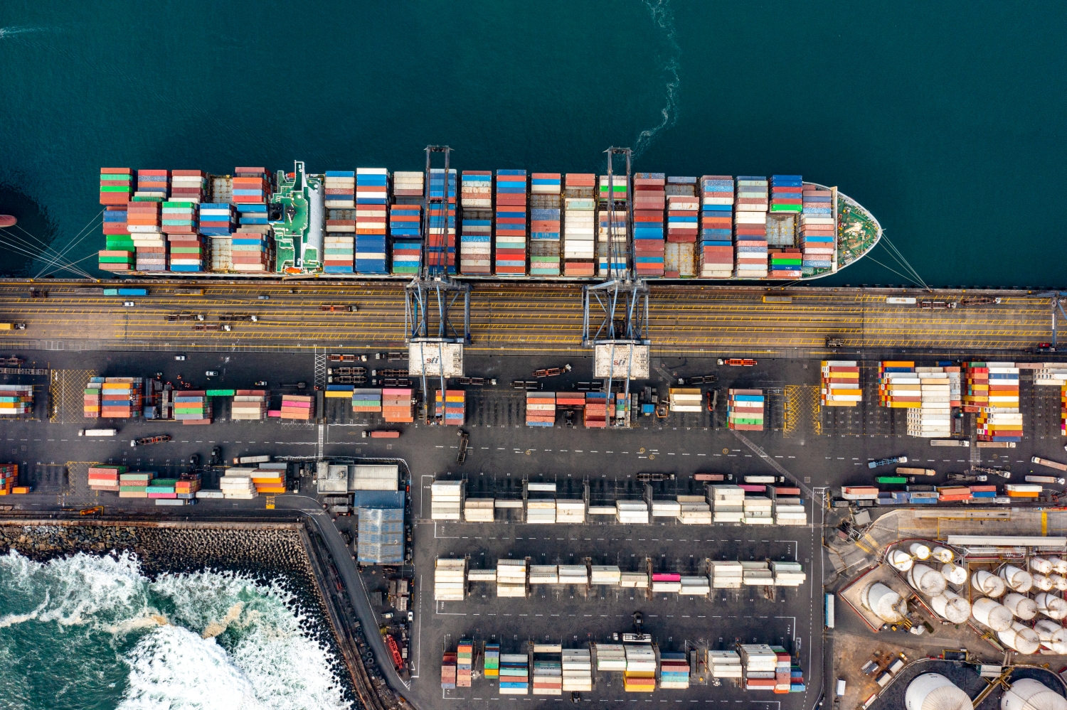
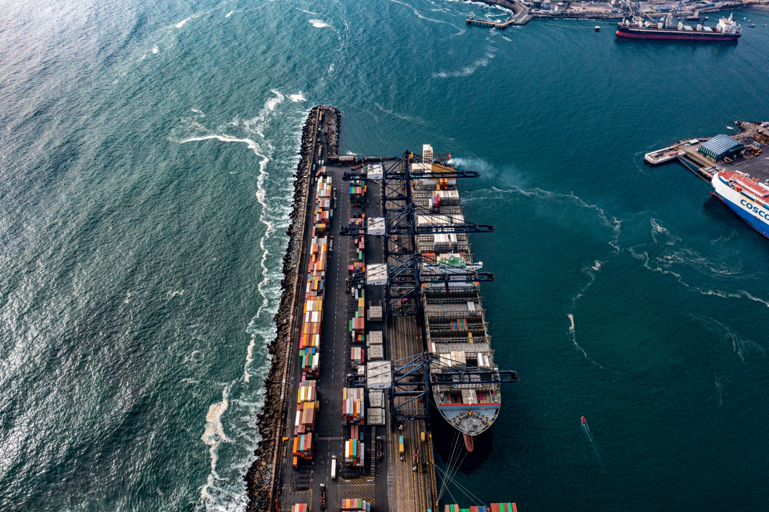


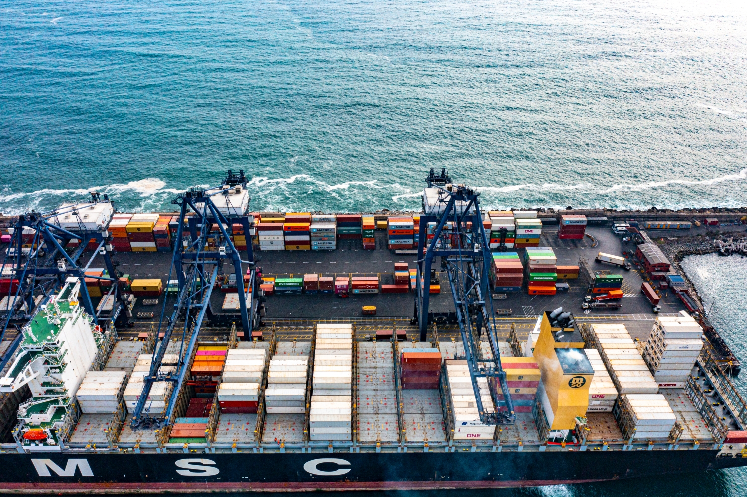
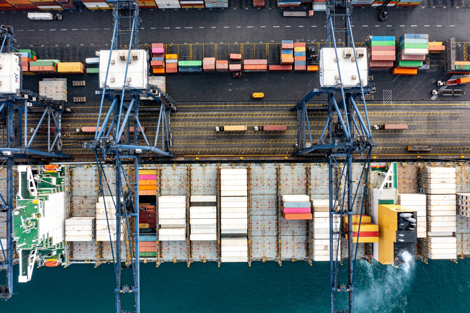
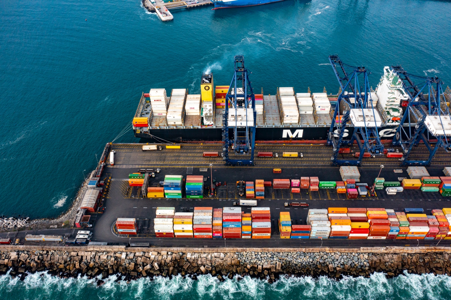
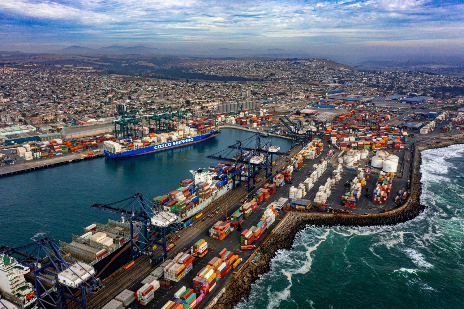
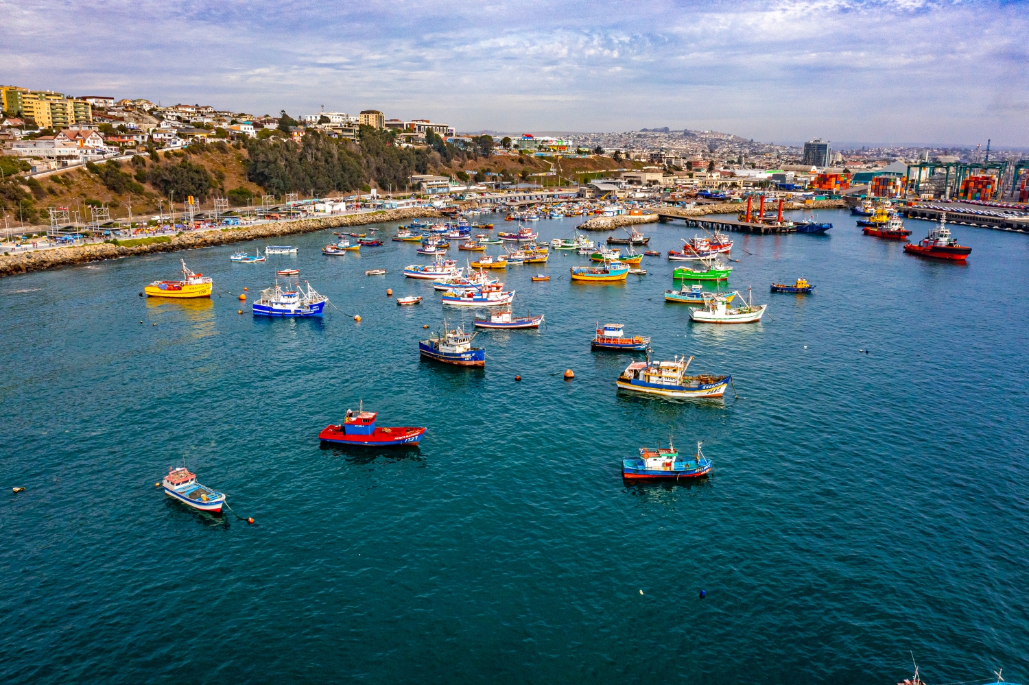
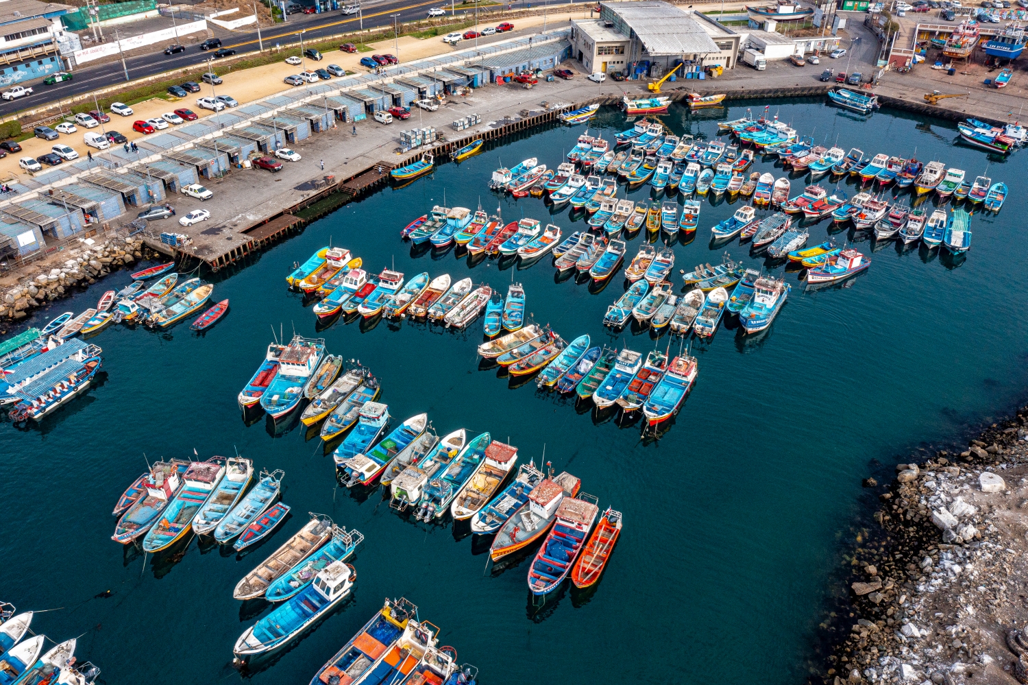
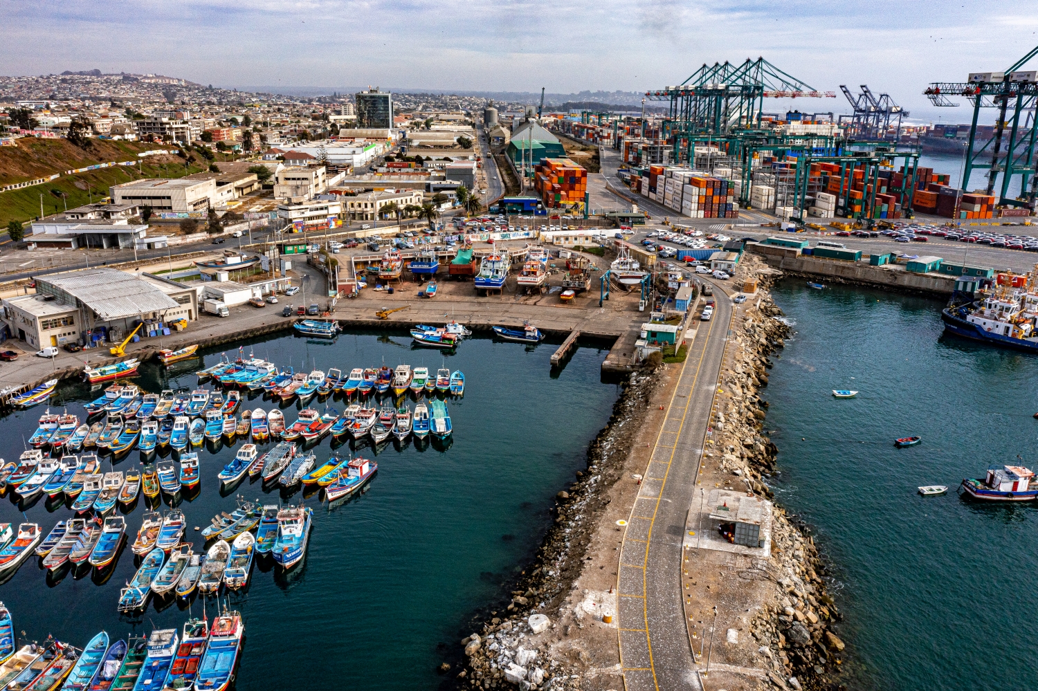
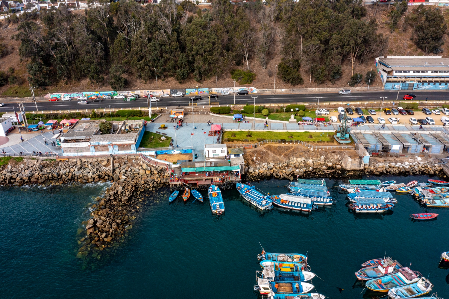
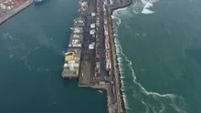
San Antonio on the Chilean Pacific
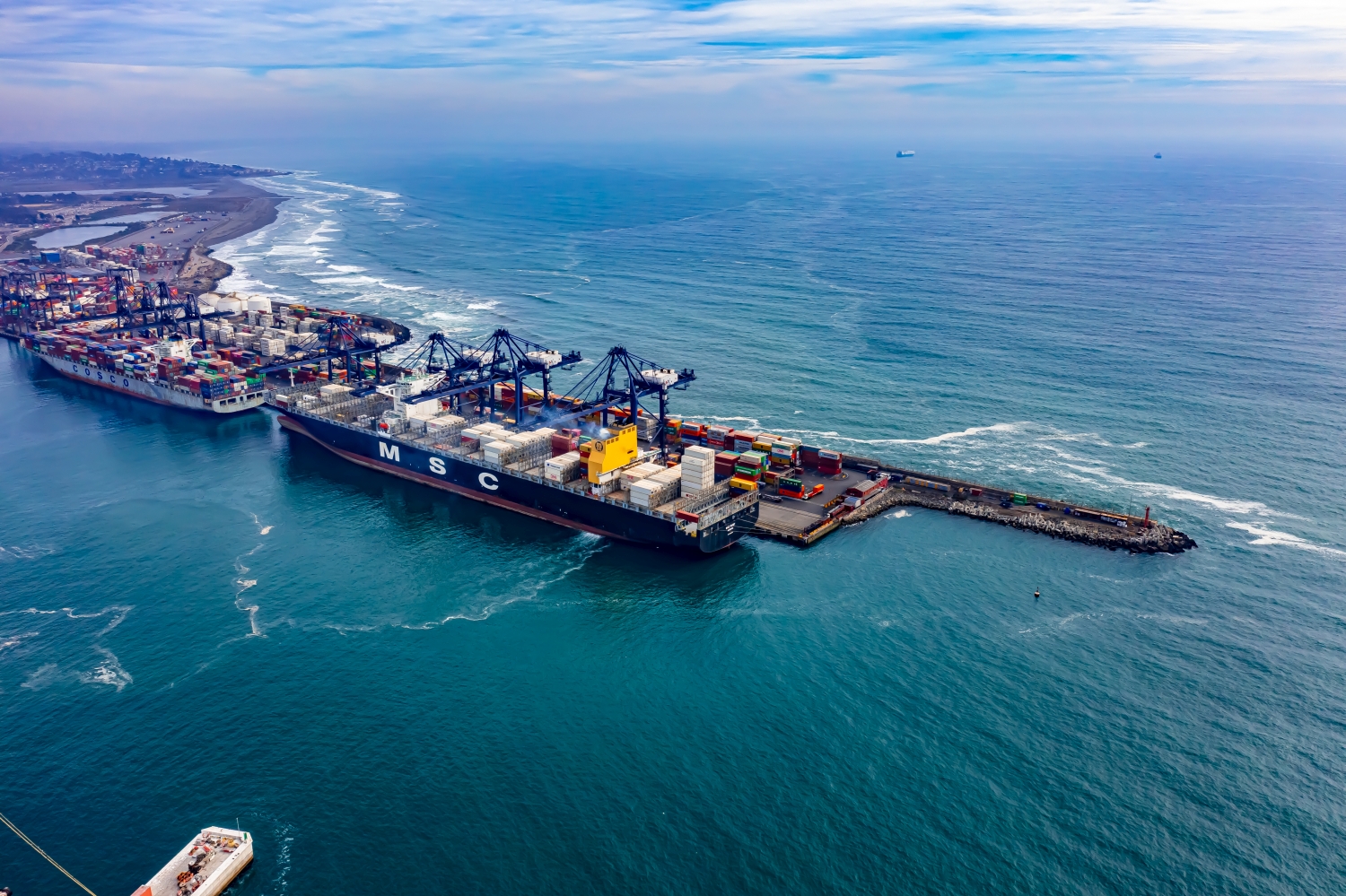
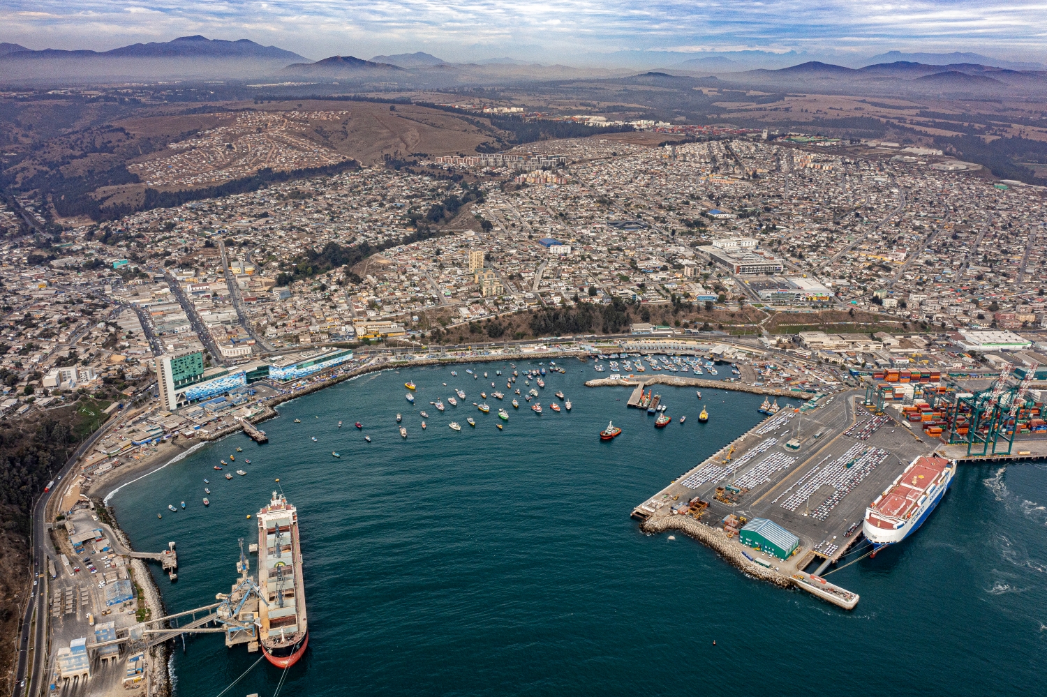
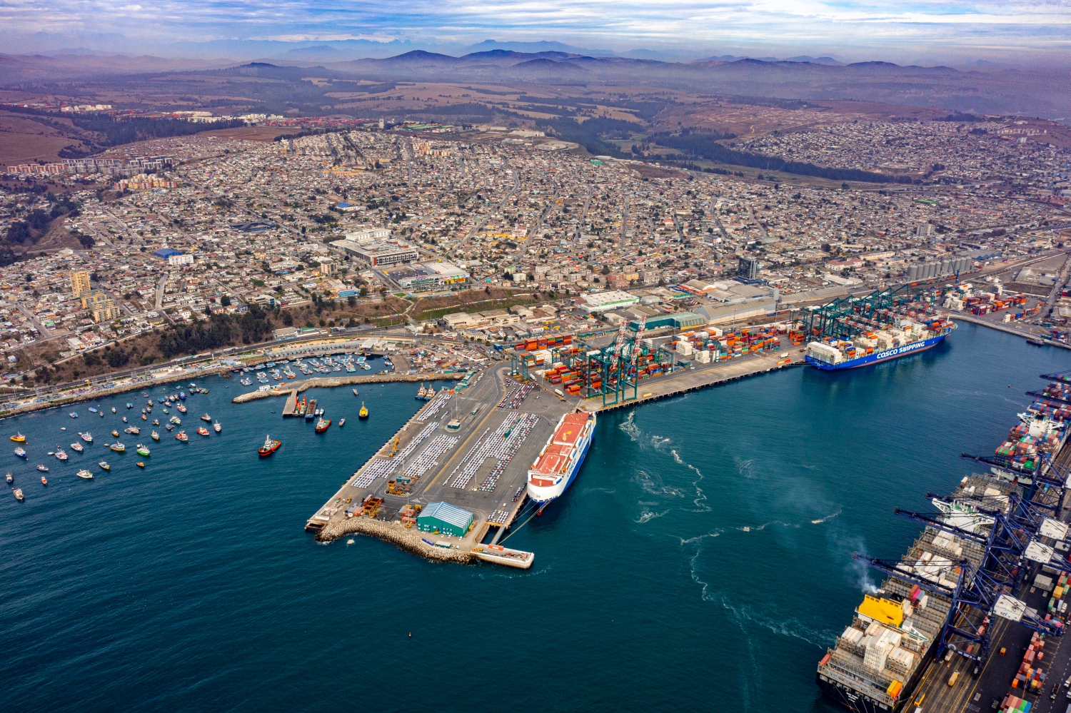
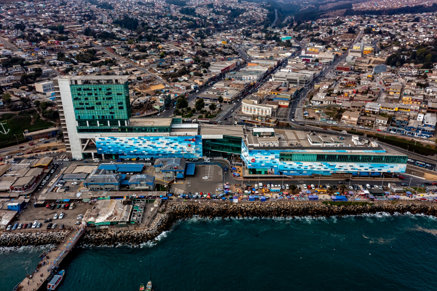
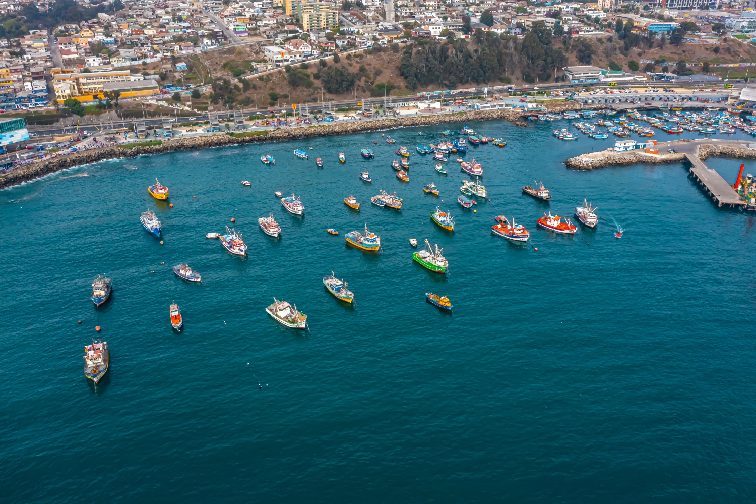
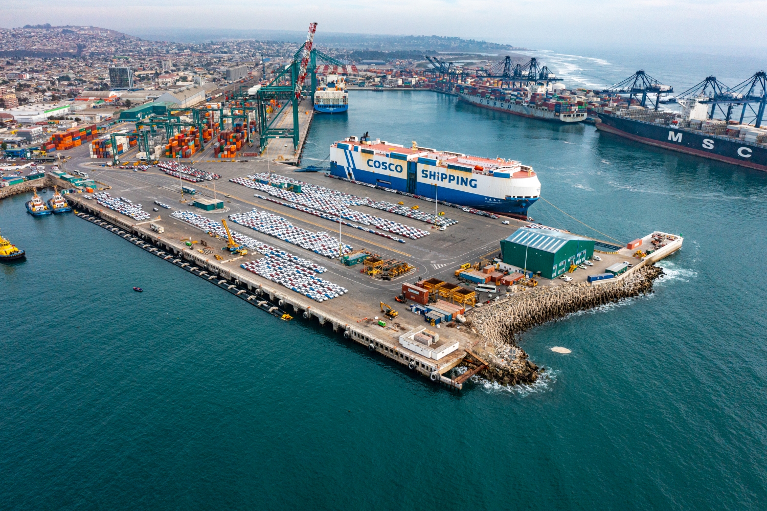
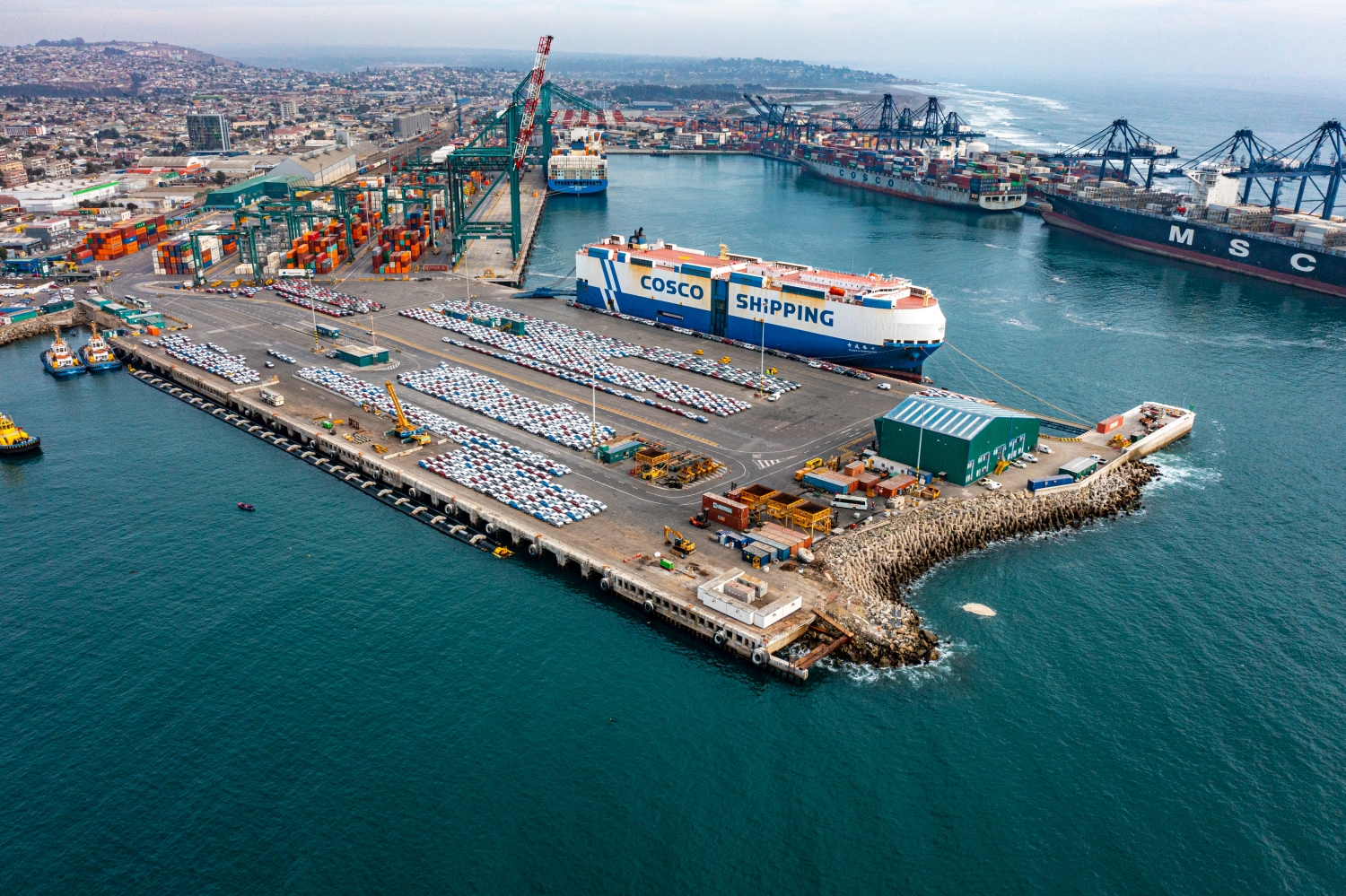
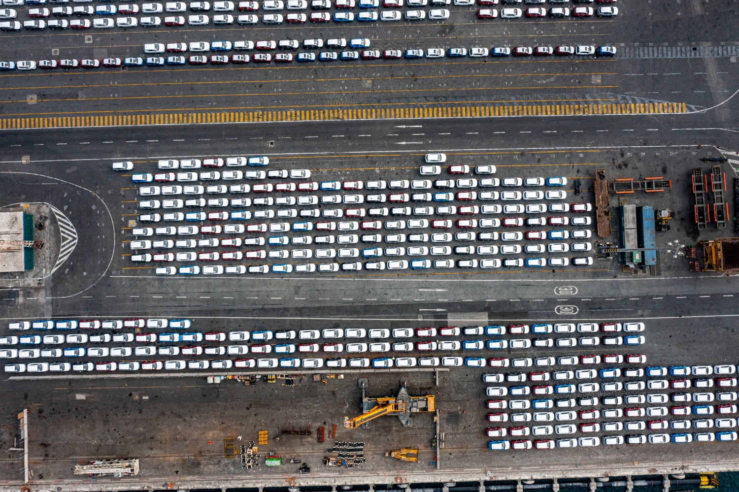
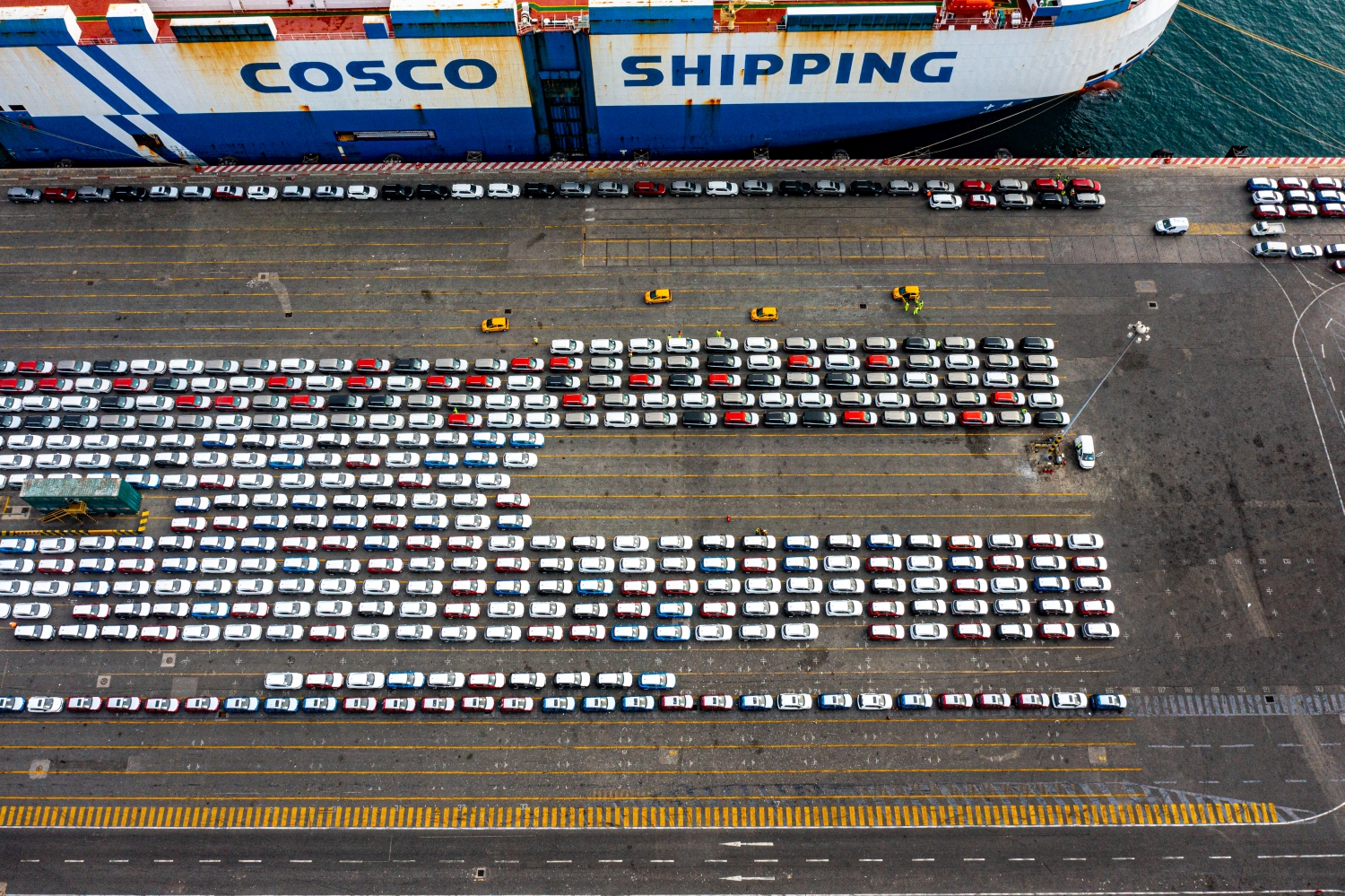
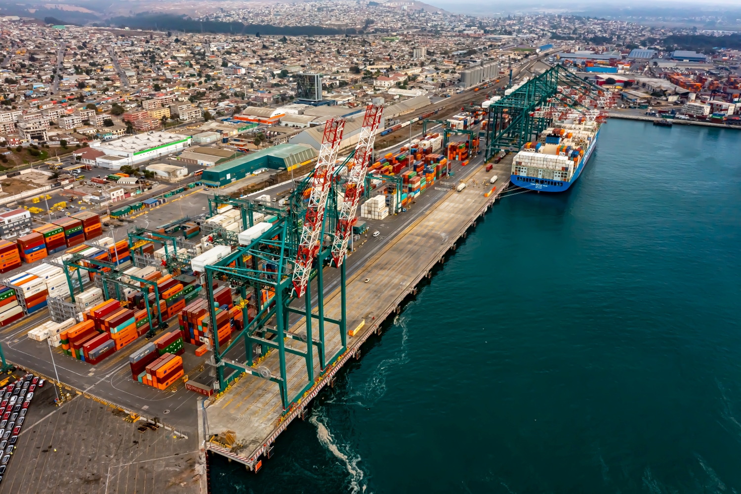
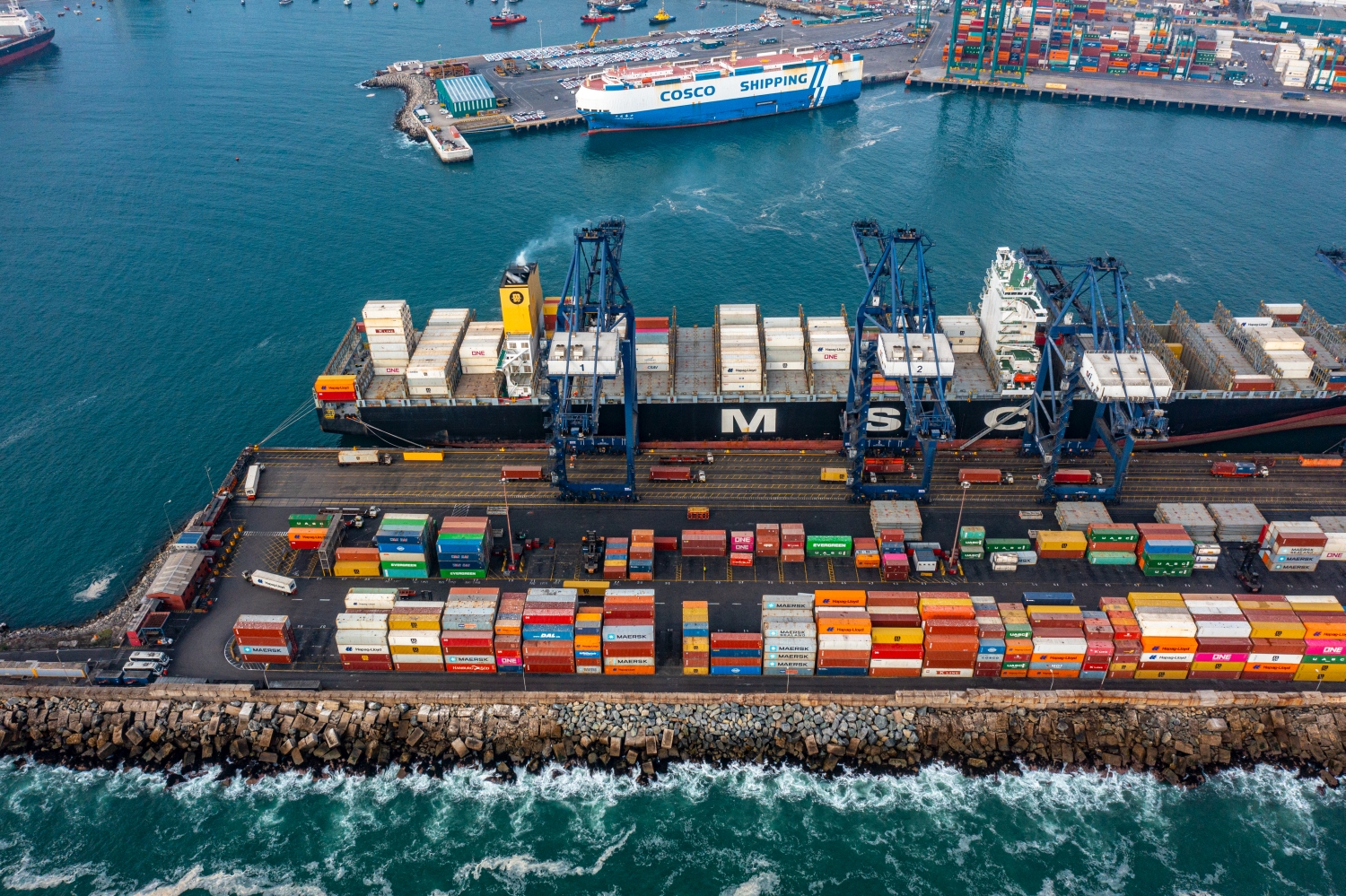
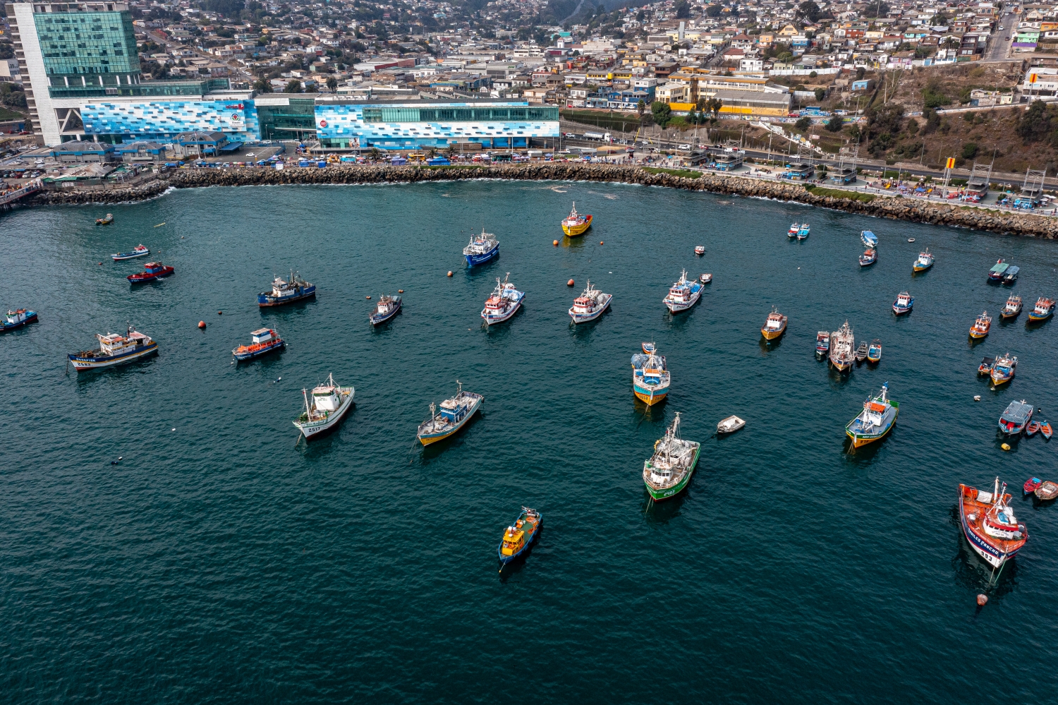
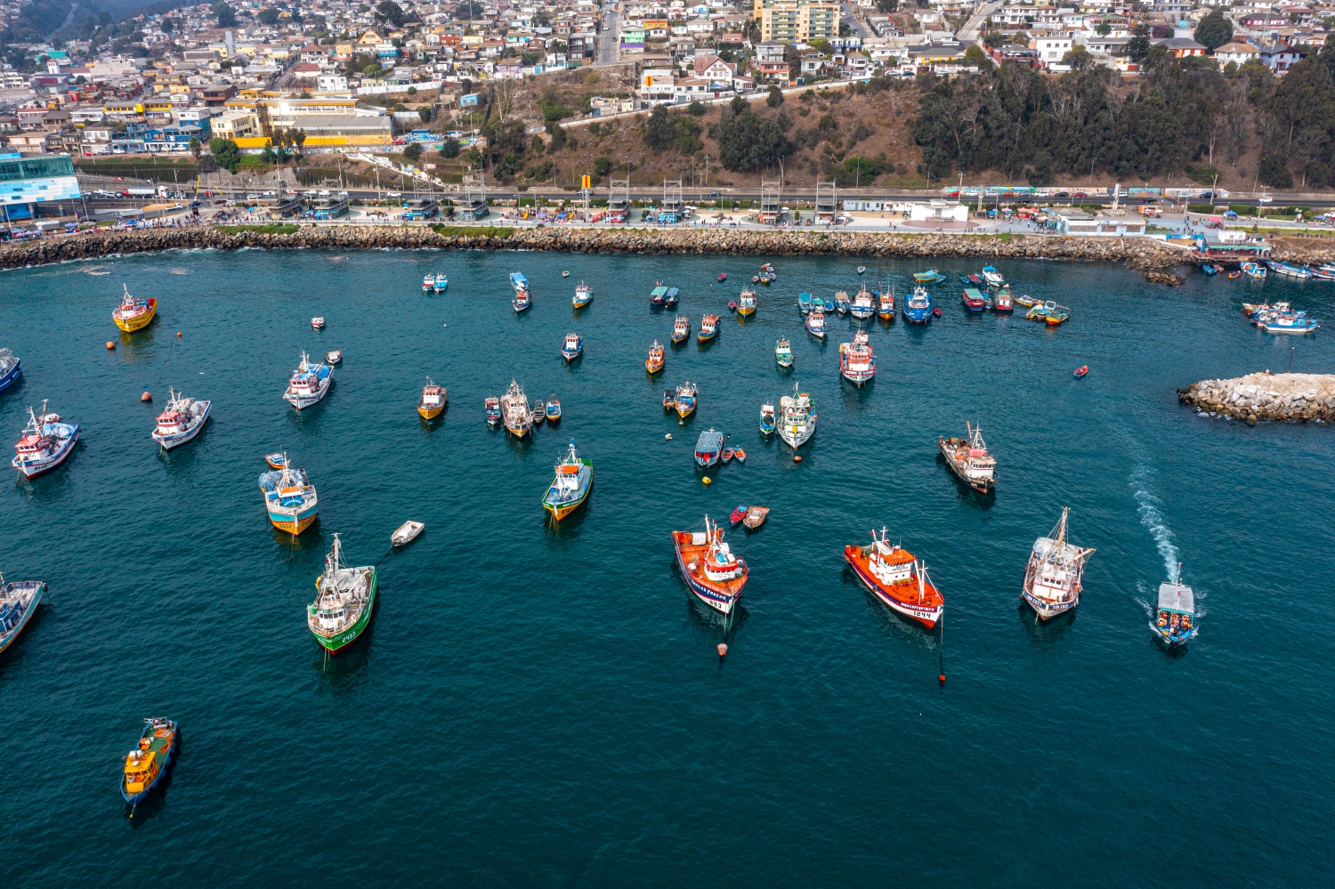
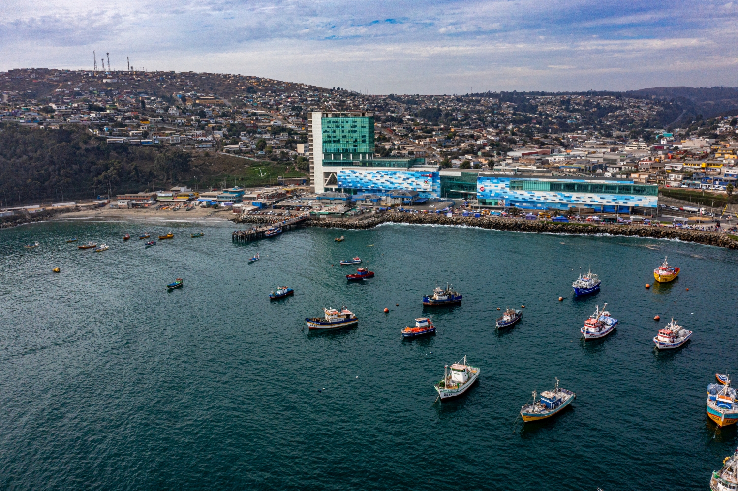
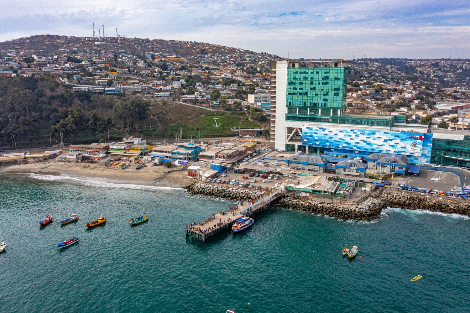
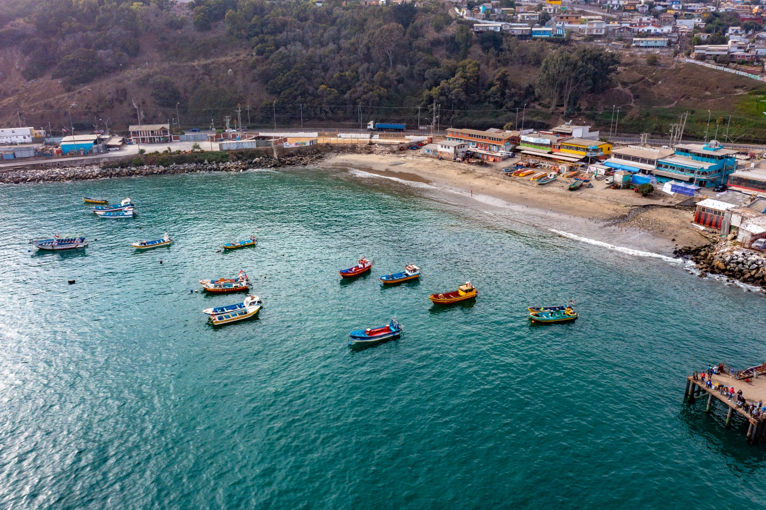
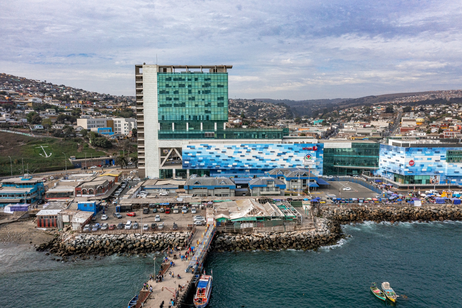
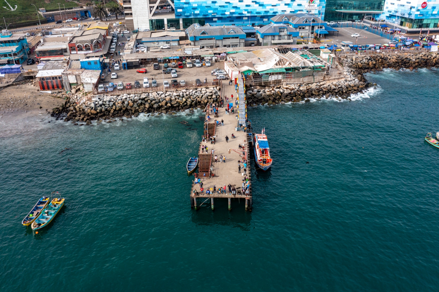
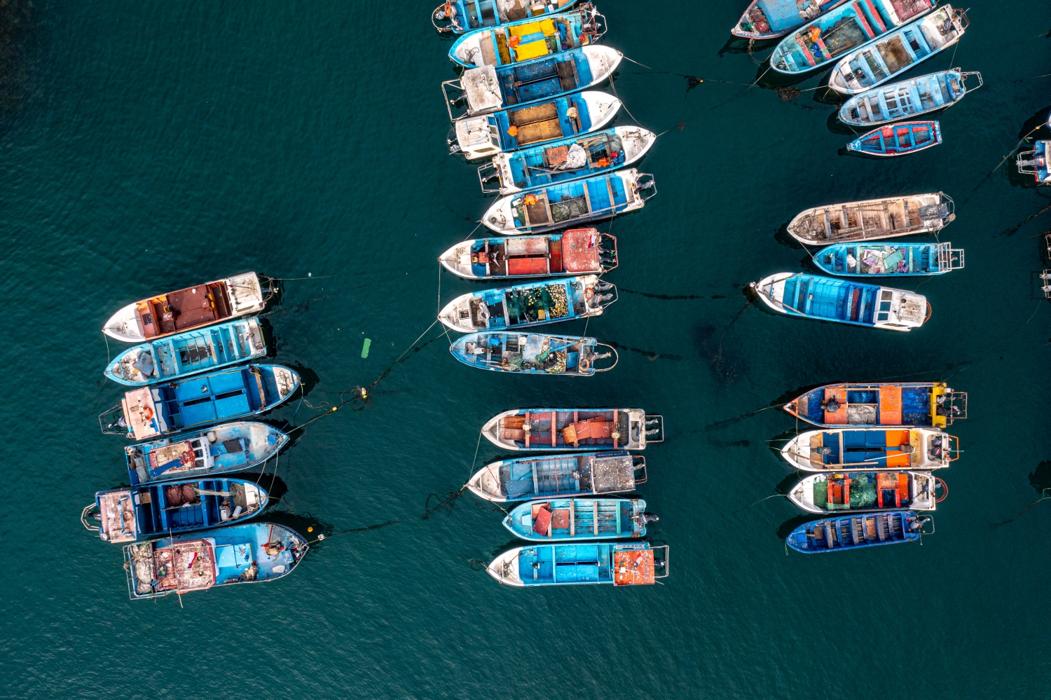
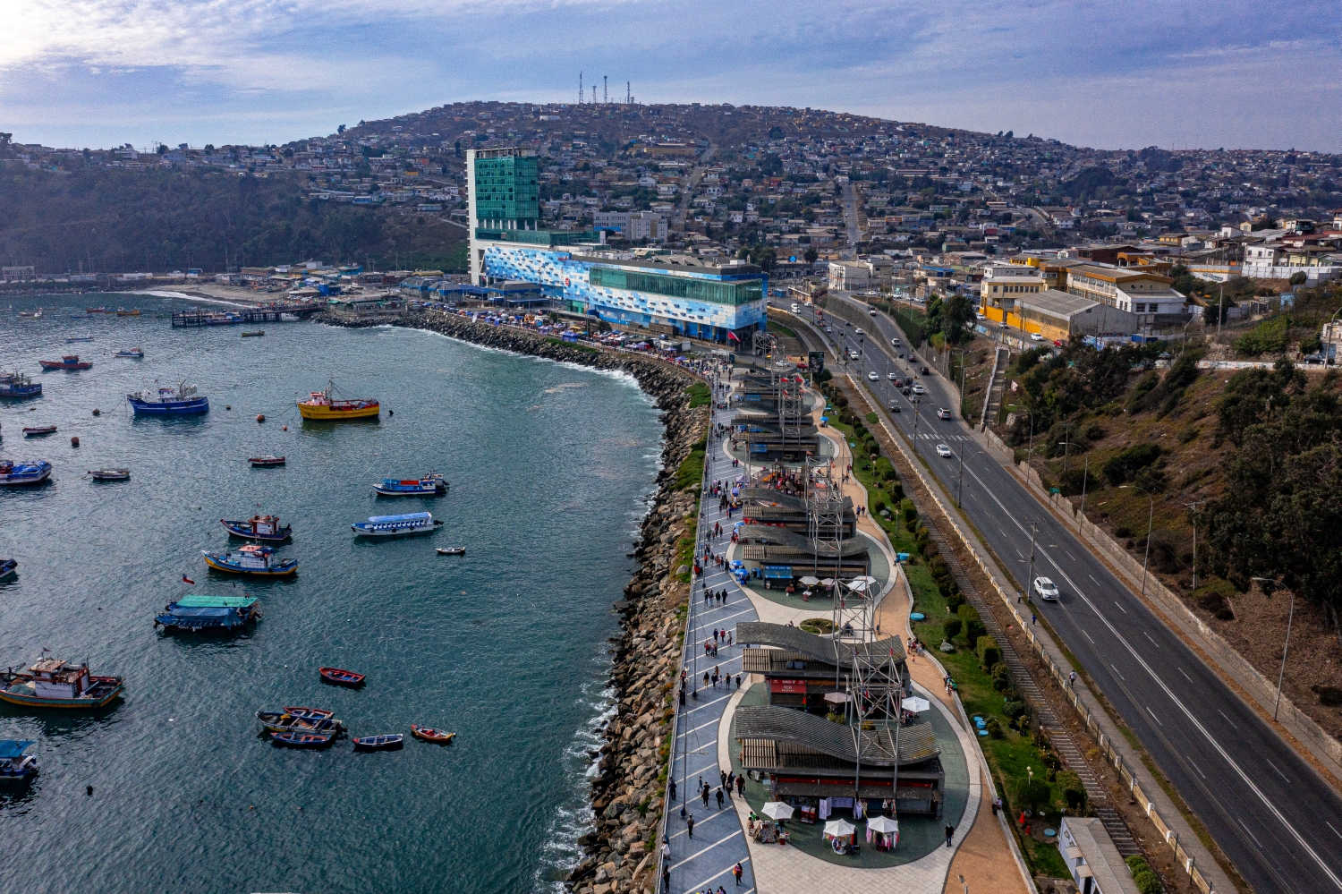
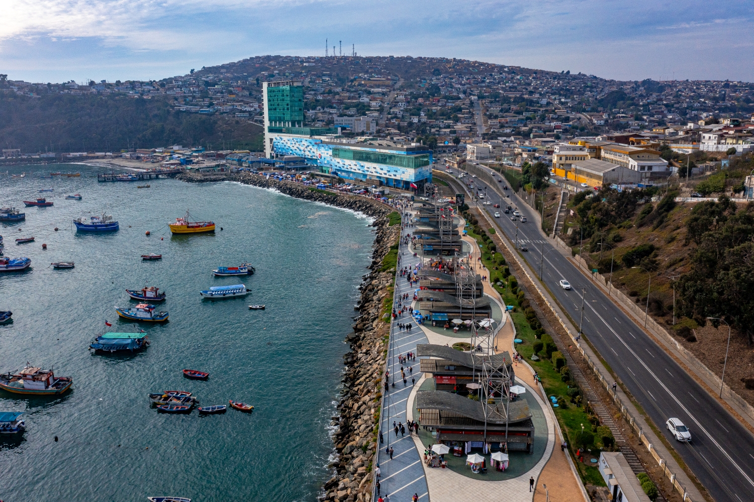
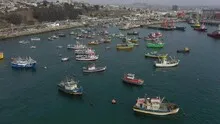
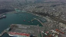
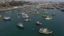
There are many small boats scattered across the protected water areas off San Antonio. Larger port buildings reach further out into the sea. From a bird's eye view, the different sizes of the watercraft can be compared as well as the shapes of pools, piers and free channels.
From the individual boat to the harbor basin
In San Antonio, the differences in size are particularly noticeable at the quay edge. Only next to the solid shoreline can it be estimated which part of the harbor basin a ship occupies in the image.
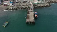
In a harbor, the individual areas are best seen from the water. A pier delimits the entrance, straight edges frame a pool, smaller footbridges divide the area. Boats and ships provide an indication of size without an exact distance being able to be derived from the image. The shape of the harbor provides an overview. A closer look at the edge of a quay, on the other hand, shows how the water directly connects to the landside paths, buildings or open spaces.
Light and surface of the water
On water, colors and brightness change with the direction of the light. A bright spot can be a reflection, a darker stripe can be caused by the shadow on the bank. The easiest way to describe such differences is to use a solid bank edge or an object in the water as a comparison. Two different distances are attractive for a sequence of images. The closer view shows small surface structures, while the overview makes their location in the entire water surface understandable.
The ship as a recognizable floor plan
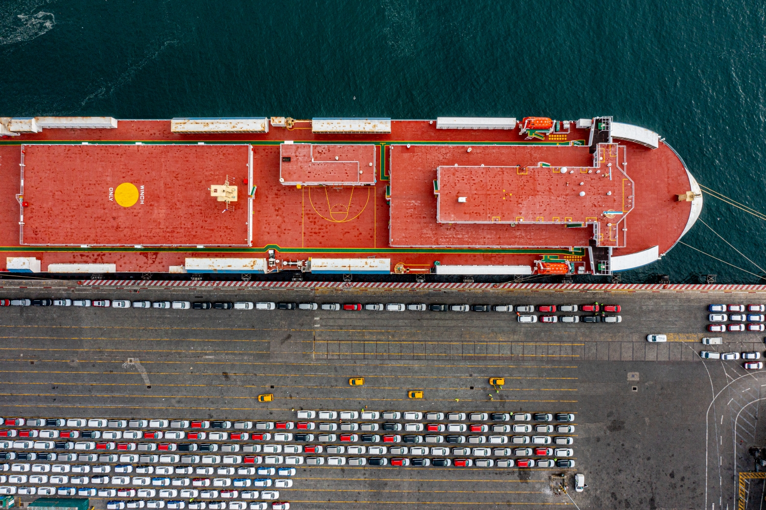
From above, the course of a hull can be traced from bow to stern. How much of its side surfaces can be seen depends on the direction in which it is viewed and the water level. If light falls on the surface, reflections can cover up details or make the outline particularly clear. For a series of images, a subject with the entire contour is a helpful first view. Only then does a narrower section become understandable to outsiders who would otherwise hardly be able to identify the deck or the ship's side.
The distribution of blue tones
To switch between two of the 42 aerial photos, shot 21 and shot 1 can be called up directly in the gallery. In the first excerpt, shades of blue play a smaller role. In the second shot, blue areas take up more space. Blue can extend over a large contiguous area or only appear in individual parts. What also counts for the effect is whether these areas extend to the edge of the picture or surround the main subject.
Shot 1 and Shot 42 are among the views from March 19, 2022. According to the camera's time information, there are approximately 16 minutes between the two images. The exposure time was 1/320 second for the first of the images mentioned and 1/800 second for the second.
The Aerial Videos section supplements the photos with 6 clips. The aerial photographer's photographs linked there include “San Antonio in Chile from above”. The relevant video page on Adobe Stock can be opened using the respective preview.
Select the coastal view for a photo series
In a coastal view, water is both a motif and an open space. Whether a large piece of sea remains in the picture depends on the story. When reporting on the shoreline, it holds different landforms together. For a portrait of a coastal town, the development may need more space. An aerial photographer can take this difference into account when choosing the angle of the image. When publishing, it's worth taking a final look at the final format so that a headland or riverside path at the edge isn't accidentally cut off.
Related motifs in the aerial photo archive
Two additional views can be used in the archive for comparison. The first can be found under Bremerhaven. In Bremerhaven, the alternation of water and paved surfaces determines the aerial view. The second belongs to the post Shipwreck. A long wreck lies in the clear water off the Greek coast.
Aerial Photos San Antonio
Aerial Photographs & Aerial Videos
F4 Aerial Photographs – Your specialist for aerial photographs Worldwide. Benefit from our many years of experience and technical equipment and let us convince you with a quick implementation and unbureaucratic processing. We look forward to inspiring you with breathtaking aerial photographs Worldwide.
Services
Aerial photos in 4K resolution
Aerial videos in 4K resolution
Individual perspective requests
Including image editing
All necessary permits and insurance
Your benefits
No appointment required
Short-term processing
Pay conveniently via Paypal
Picture delivery via download
Direct contact person
Aerial Photographs & Aerial Videos from San Antonio
Use the contact form and send us your ideas and specifications for aerial photographs & aerial videos in San Antonio and the surrounding area. We will contact you immediately and make you an offer that will convince you and implement your wishes in detail. We would be happy to inspire you with impressive aerial photographs and aerial photos in San Antonio and the surrounding area. If you would like to buy existing aerial photographs from our website, please do not hesitate to contact us
Request a quote