 F4LUFTBILDER
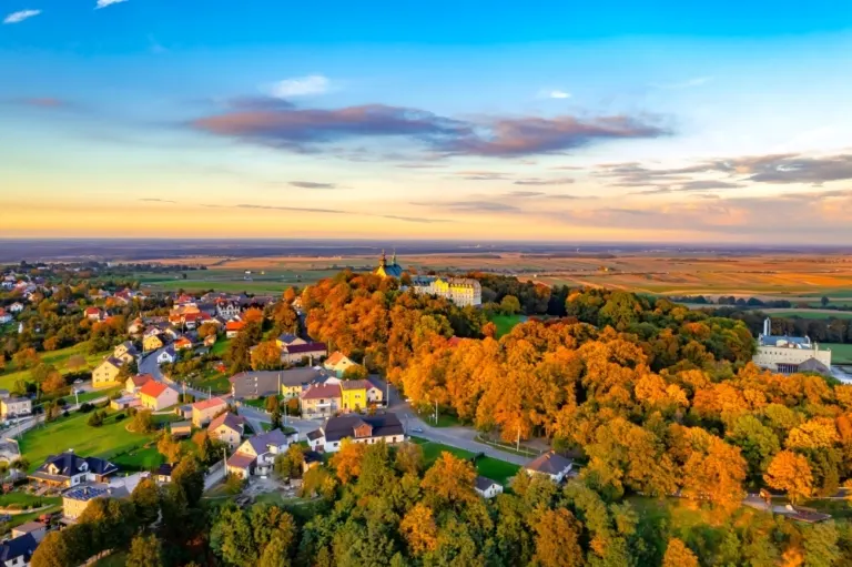


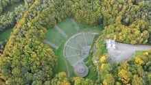
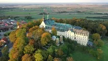
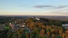
The Annaberg in autumn leaves
At St. Annaberg in Poland, the first thing you notice is the color of the wooded hill. Roof areas and the church building emerge between the crowns. At the foot of the slope, the closed foliage gives way to the straight lines of agricultural land that organize the landscape.
The Annaberg and its surroundings
At Annaberg, the colors of the autumn leaves provide additional structure. The assembly at the height can be found again even if the wider surroundings fill the larger part of the photo. The Polish name Góra Świętej Anny helps with the local assignment.
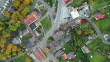
A church can often be identified in the townscape by its height. In an aerial view, the arrangement of the roof surfaces also helps. It shows the length of the ship, the orientation of the building and its relationship to paths and adjacent areas. A particularly clear angle is where the tower only covers a little of the rest of the building. To create a portrait of the location, some of the surroundings can be included in the picture. Only it turns the individual church building into a concrete place with a neighborhood.
The graduation of the mountain ranges
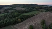
In a mountain landscape the view is divided into the foreground, middle slopes and distant heights. What merges into a closed surface in flat light separates into individual ridges when lit from the side. A gap between two ridges is often enough for the viewer to estimate the depth. For a landscape photograph, this gap is an important part of the subject. If you leave them standing while cropping, the spatial effect is retained even in a smaller image format.
Field boundaries as a benchmark
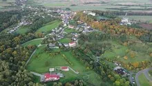
On a map, fields become similar areas. In the aerial photo they differ in color, structure and processing direction. A bright dirt path divides two plots, a row of trees interrupts the straight lines. In such places, the size of the open hallway is better understood than by just looking at the horizon. Color changes should initially be left as an observation. Which crop is growing in a field or when it was cultivated can often only be determined from a single photo with additional local knowledge.
Warm tones within the series
If you browse through the 19 aerial photos, you can stay at shot 13 and shot 10 for a comparison. In the second view, warm reds and browns have more weight than in the first. Red-brown and yellowish areas are particularly noticeable next to cooler surfaces. What is interesting when comparing is whether they are concentrated on a single object or appear spread out across the entire view.
For Shot 1 and Shot 19, the same day is noted in the image files, October 6, 2022. The recording times recorded are approximately 36 minutes apart. The exposure time was 1/100 second for the first of the images mentioned and 1/30 second for the second.
In the Aerial Videos section there are 6 clips for this article. An example is “St Annaberg in Poland: the most beautiful aerial photos”. Its preview leads directly to the video in the aerial photographer's Adobe Stock portfolio.
Communicate architecture and location together
Anyone who has visited a building themselves often remembers the entrance and the first view upwards. In the aerial photograph, these exact areas can disappear behind a roof or a wall. A suitable caption helps to connect the tour experienced with the spatial overview. For an aerial photographer, planned use is therefore a good starting point. A view for a site plan needs clear outer edges. An image for the cover page may focus more on the interaction between the building and its surroundings.
Related motifs in the aerial photo archive
If you are looking for related motifs, you can start with Church Dmitry. The church in Ukraine known as Church Dmitry is located in front of extensive fields in the photos. It's worth taking a second look at Sittendorf. In the photos, Sittendorf lies between wide fields in front of a long, dark ridge.