 F4LUFTBILDER
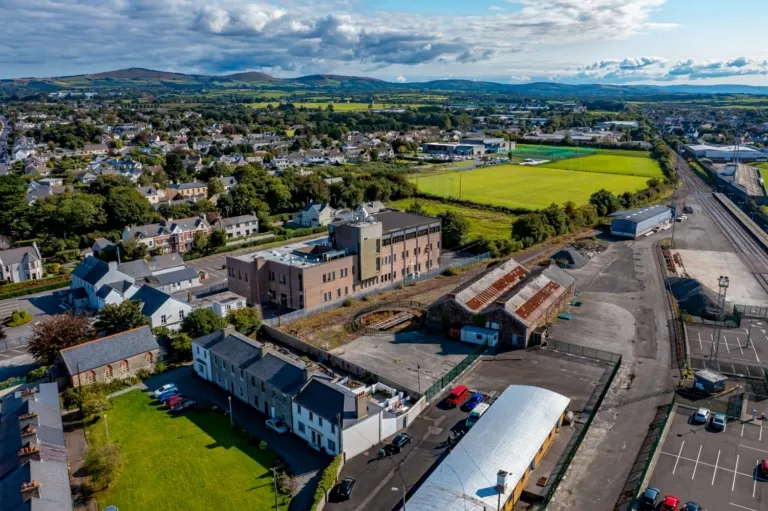
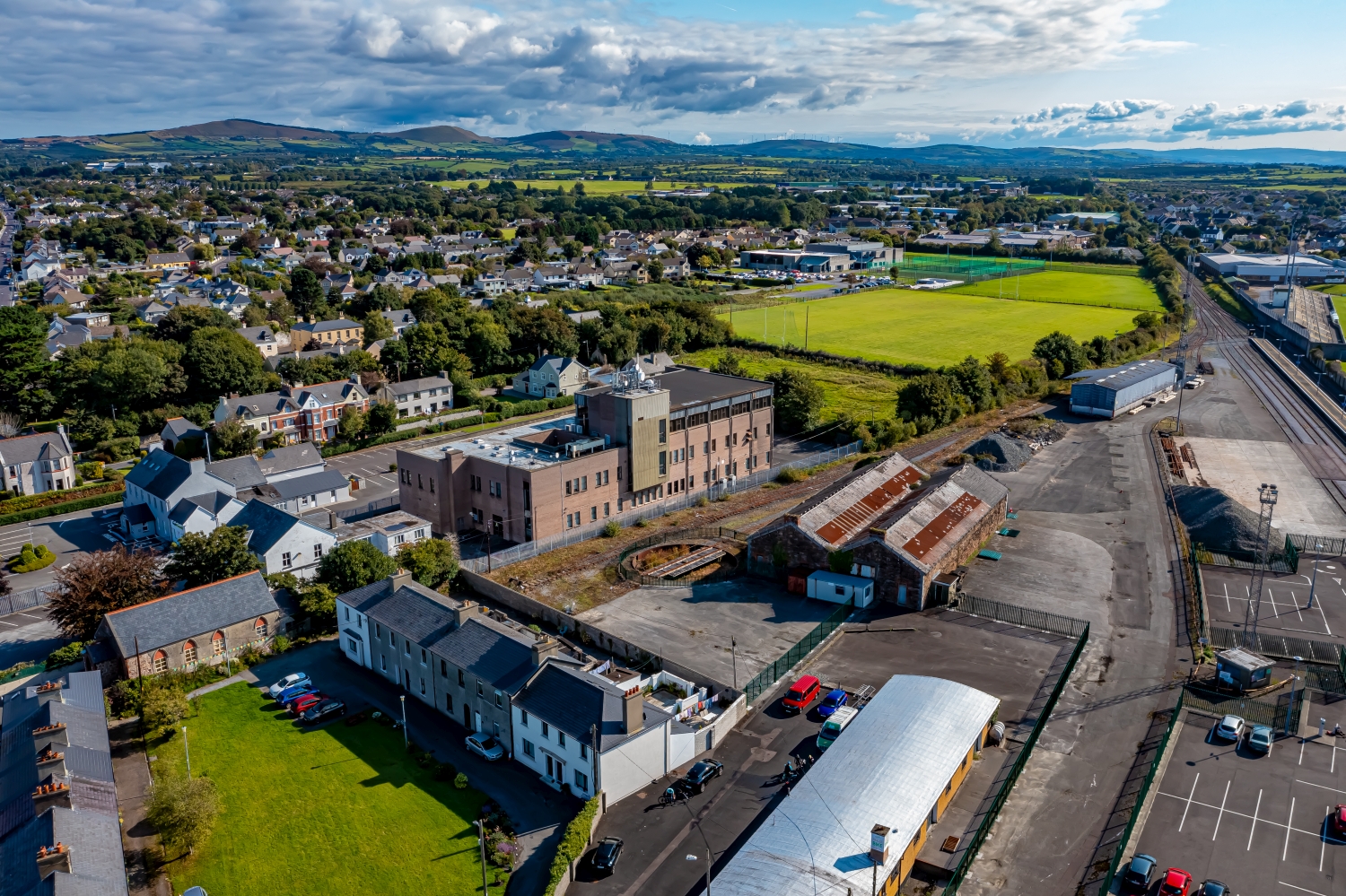
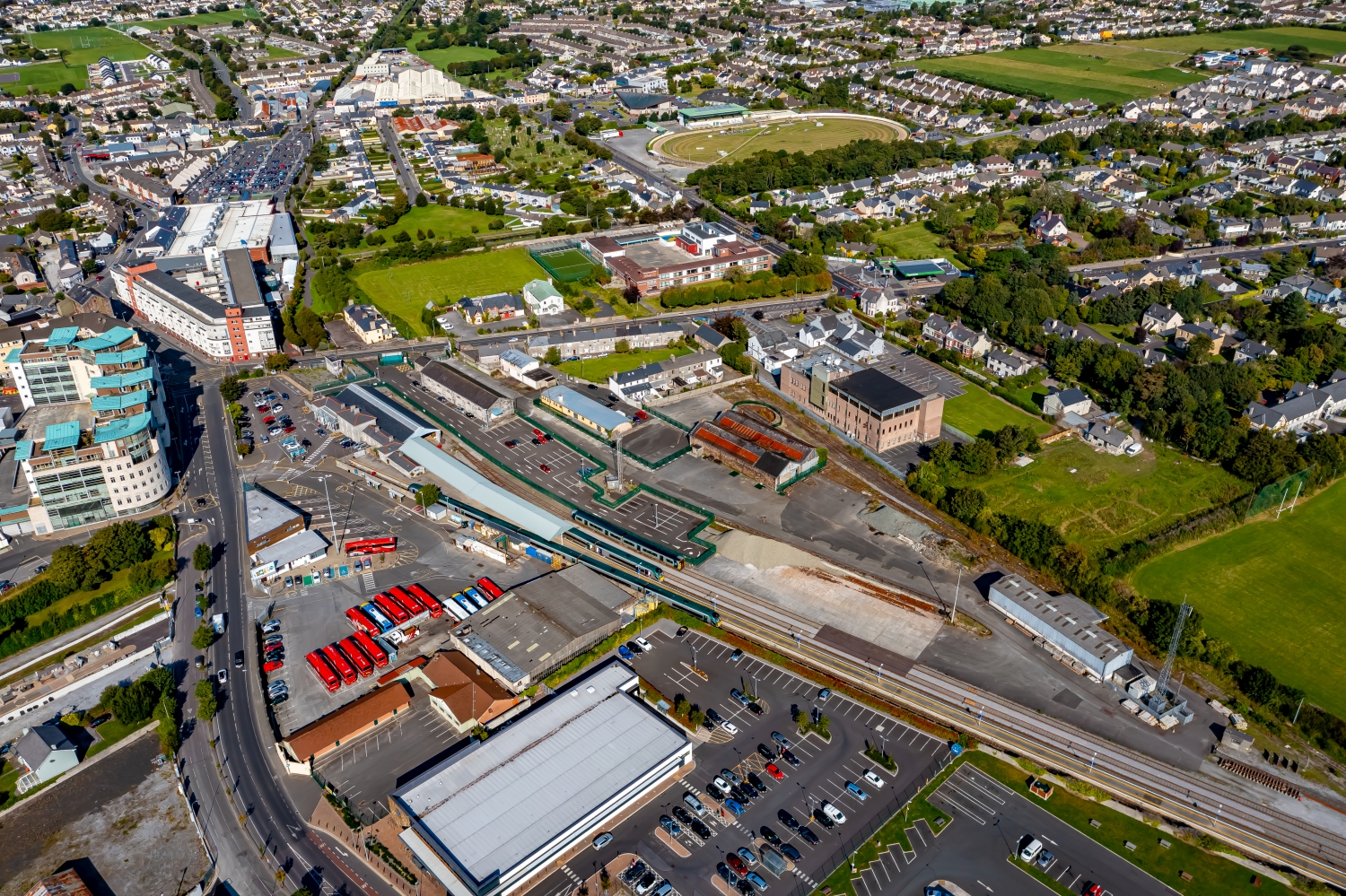
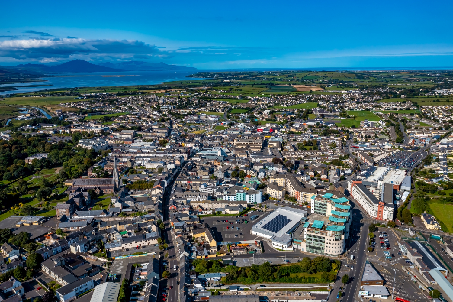
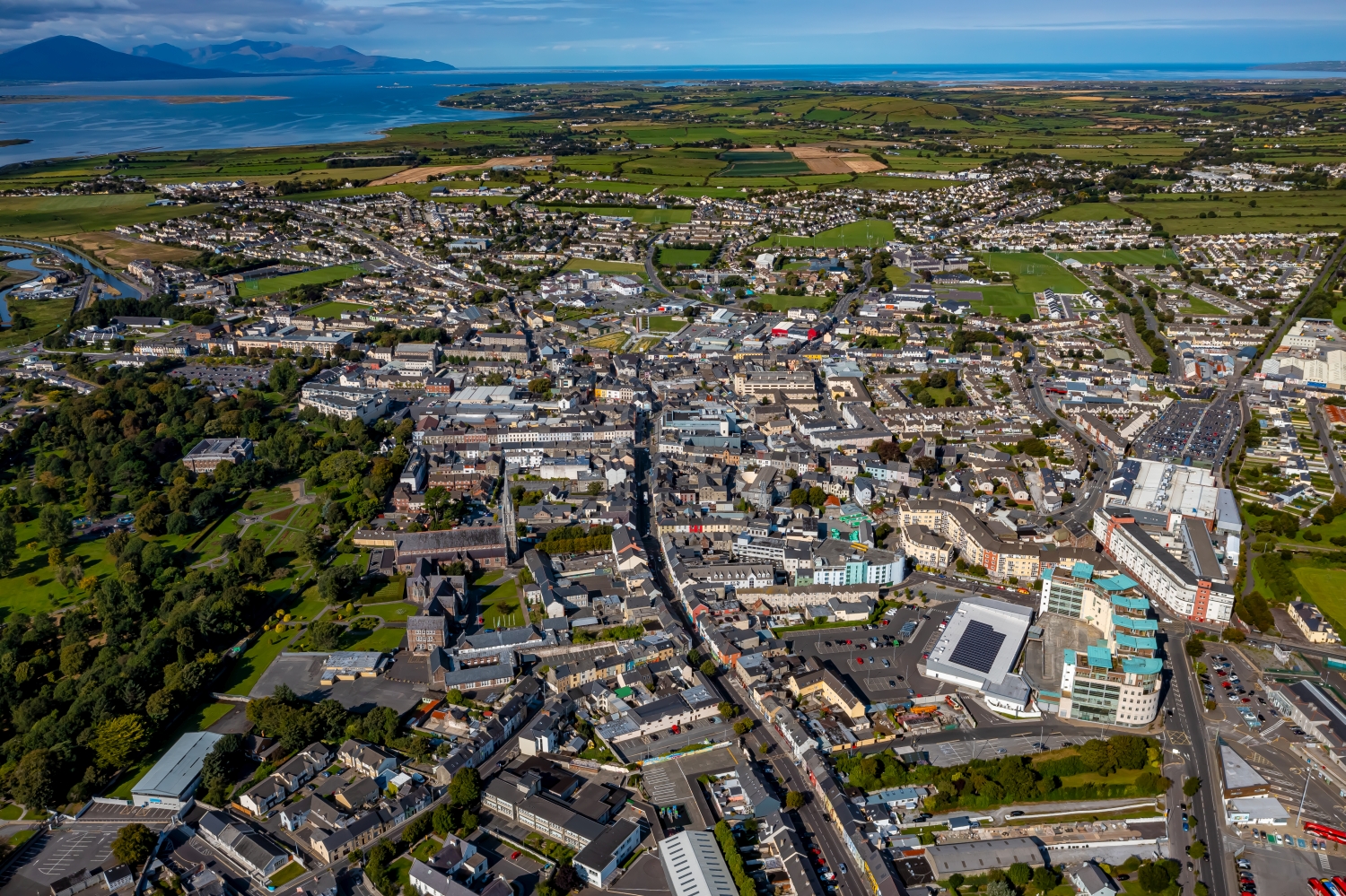
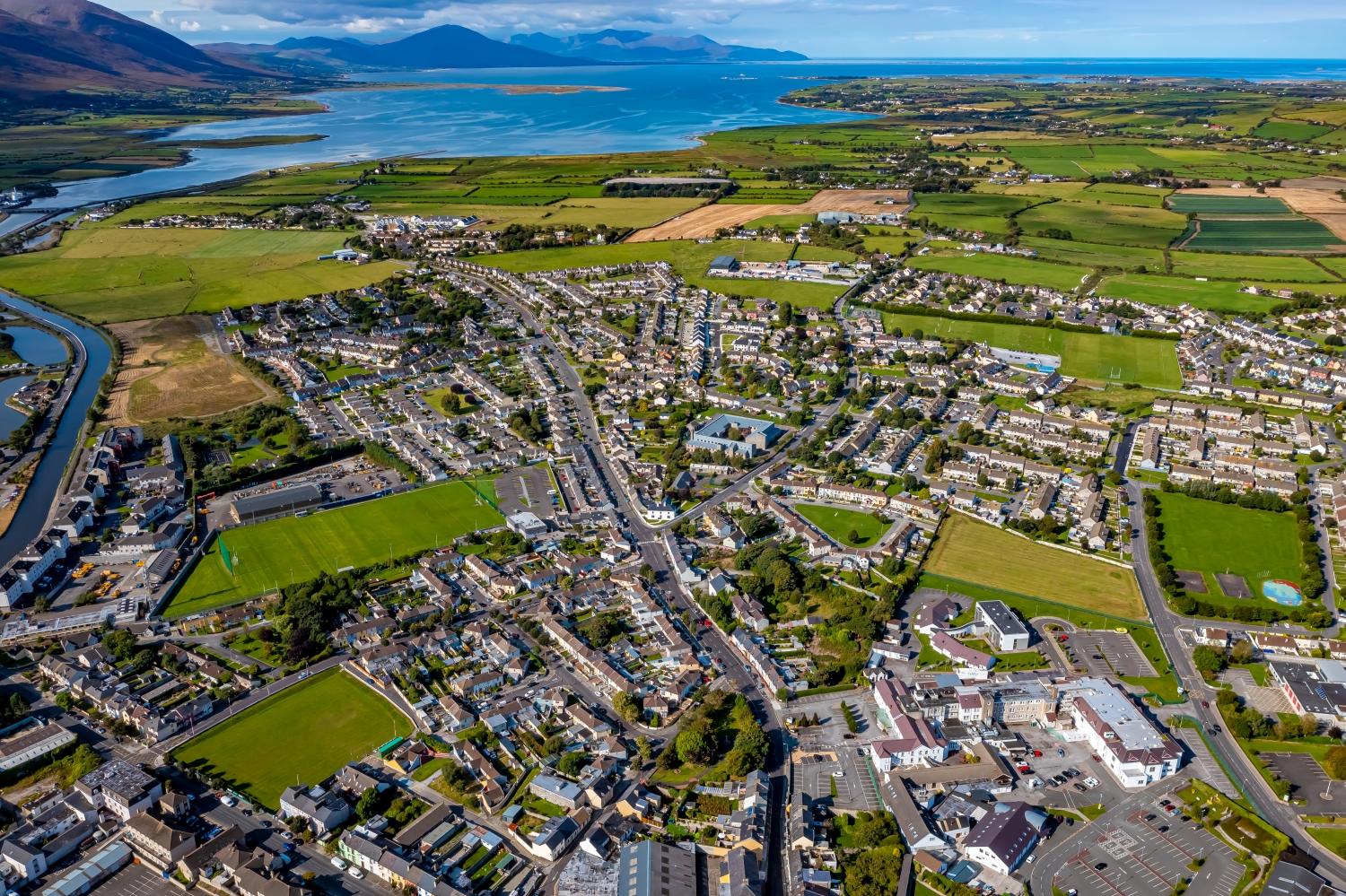
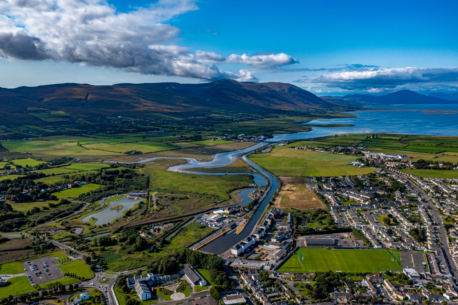
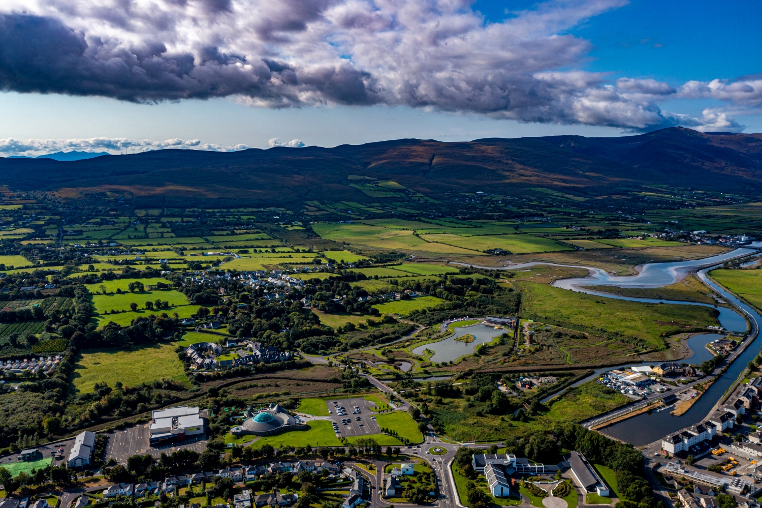
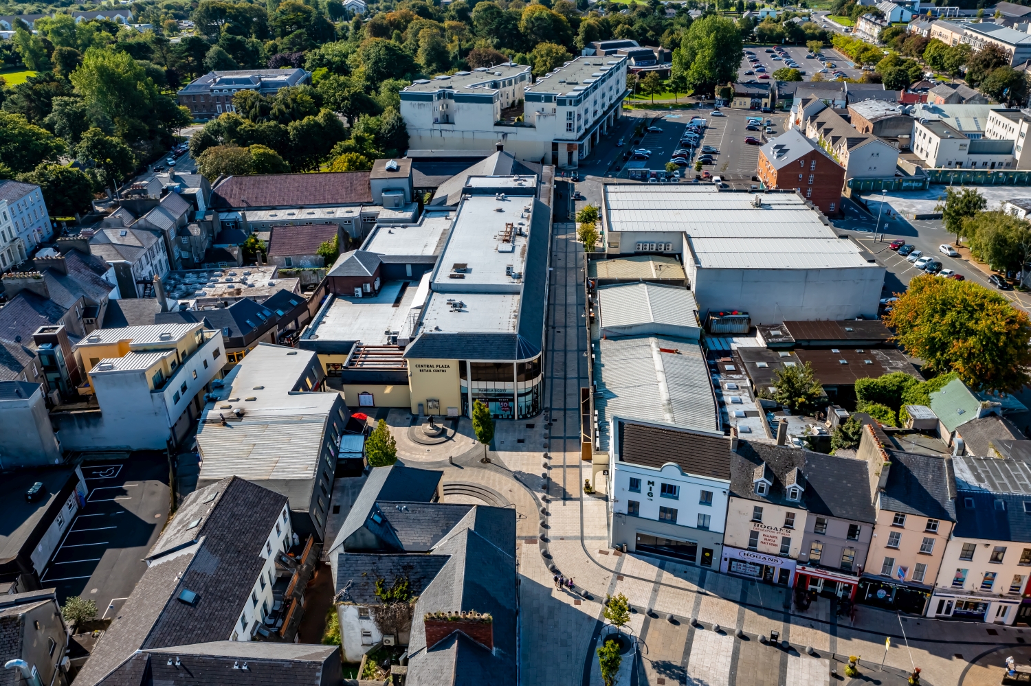

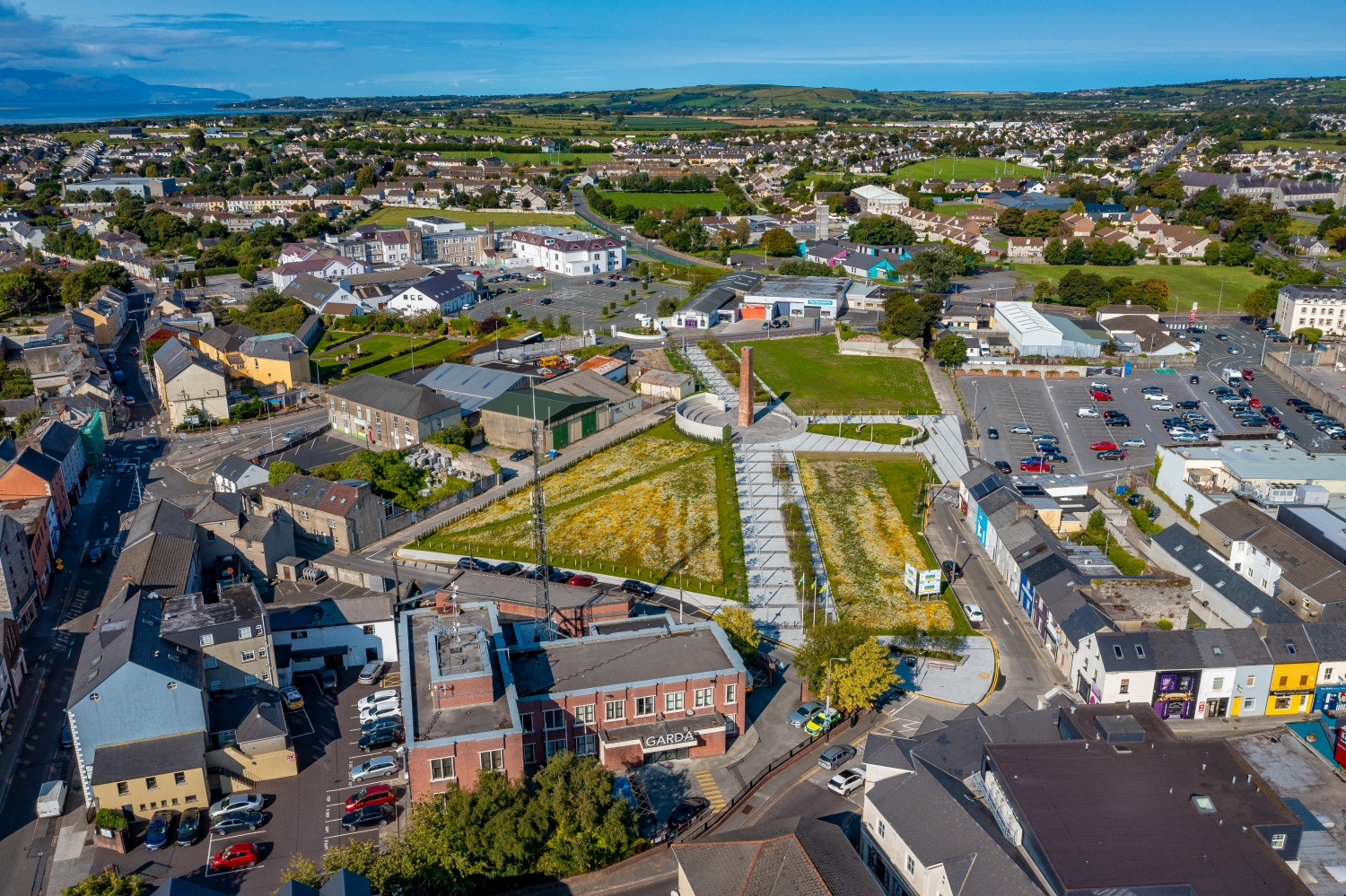
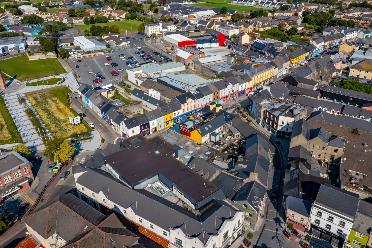
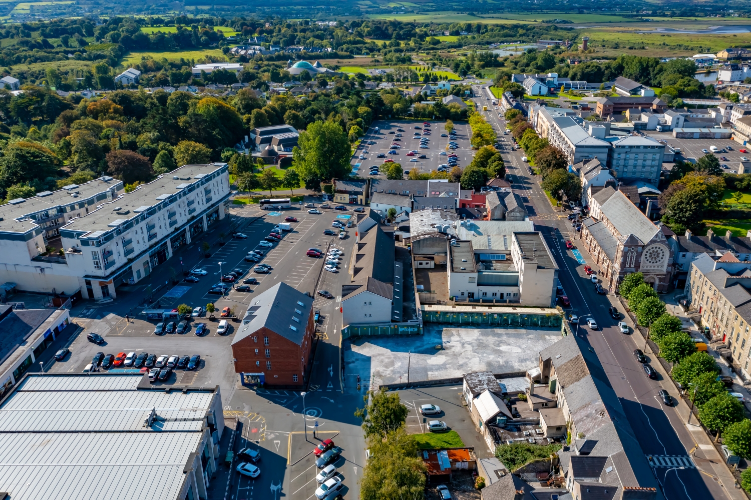

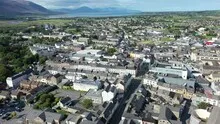
Tralee between streets and green spaces
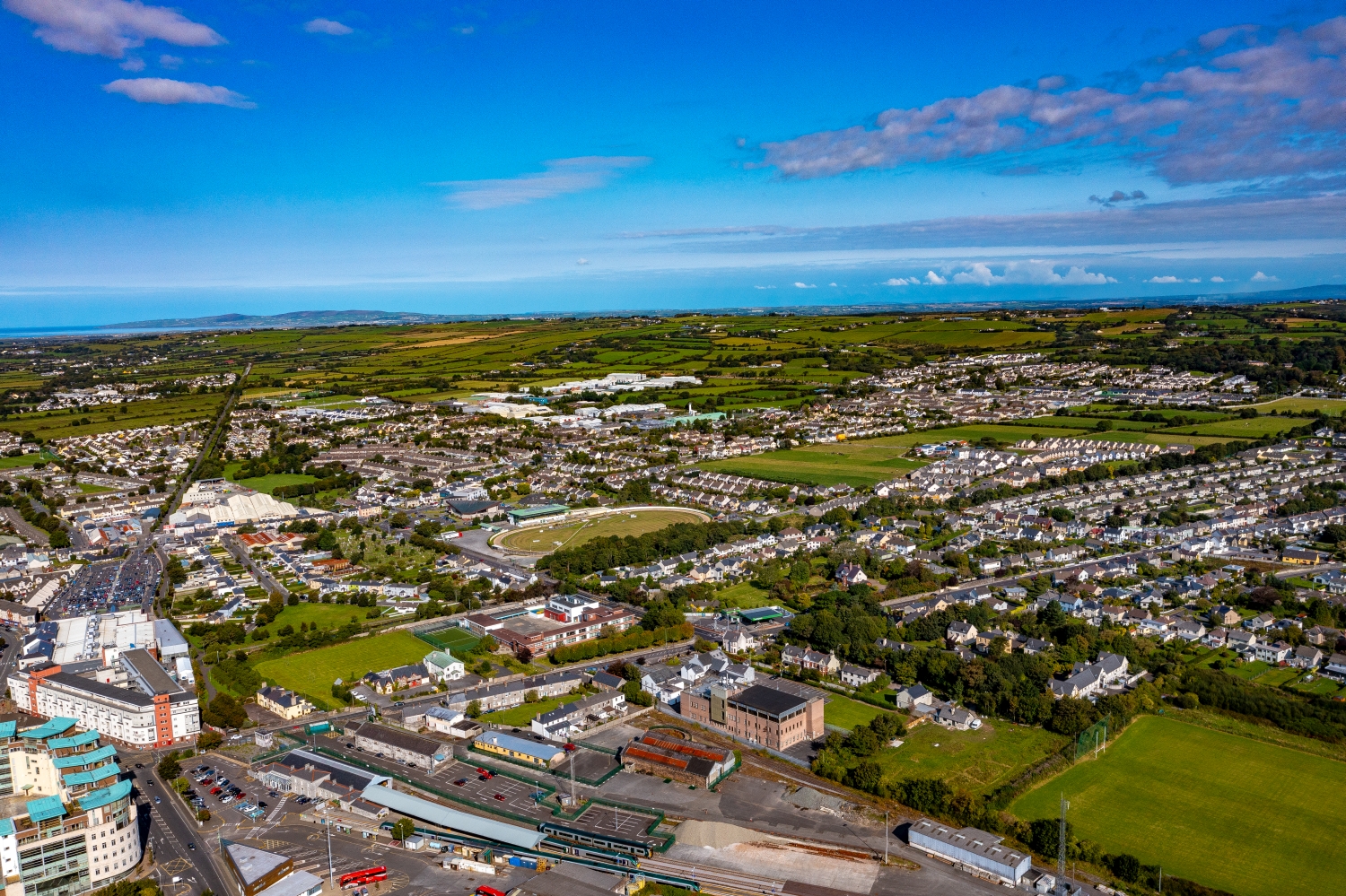
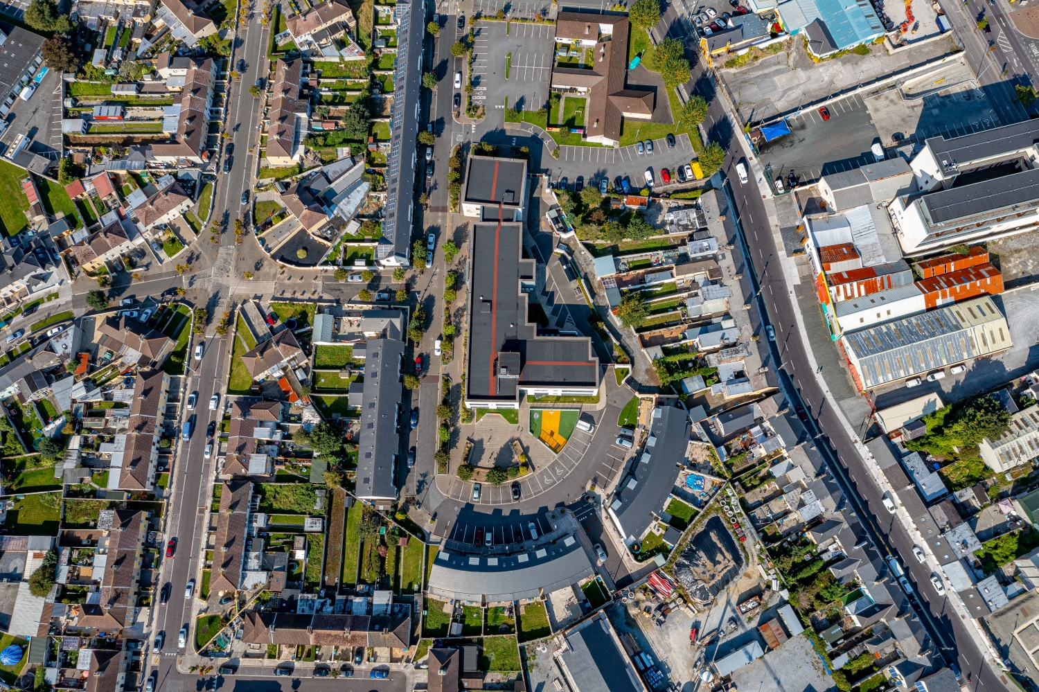
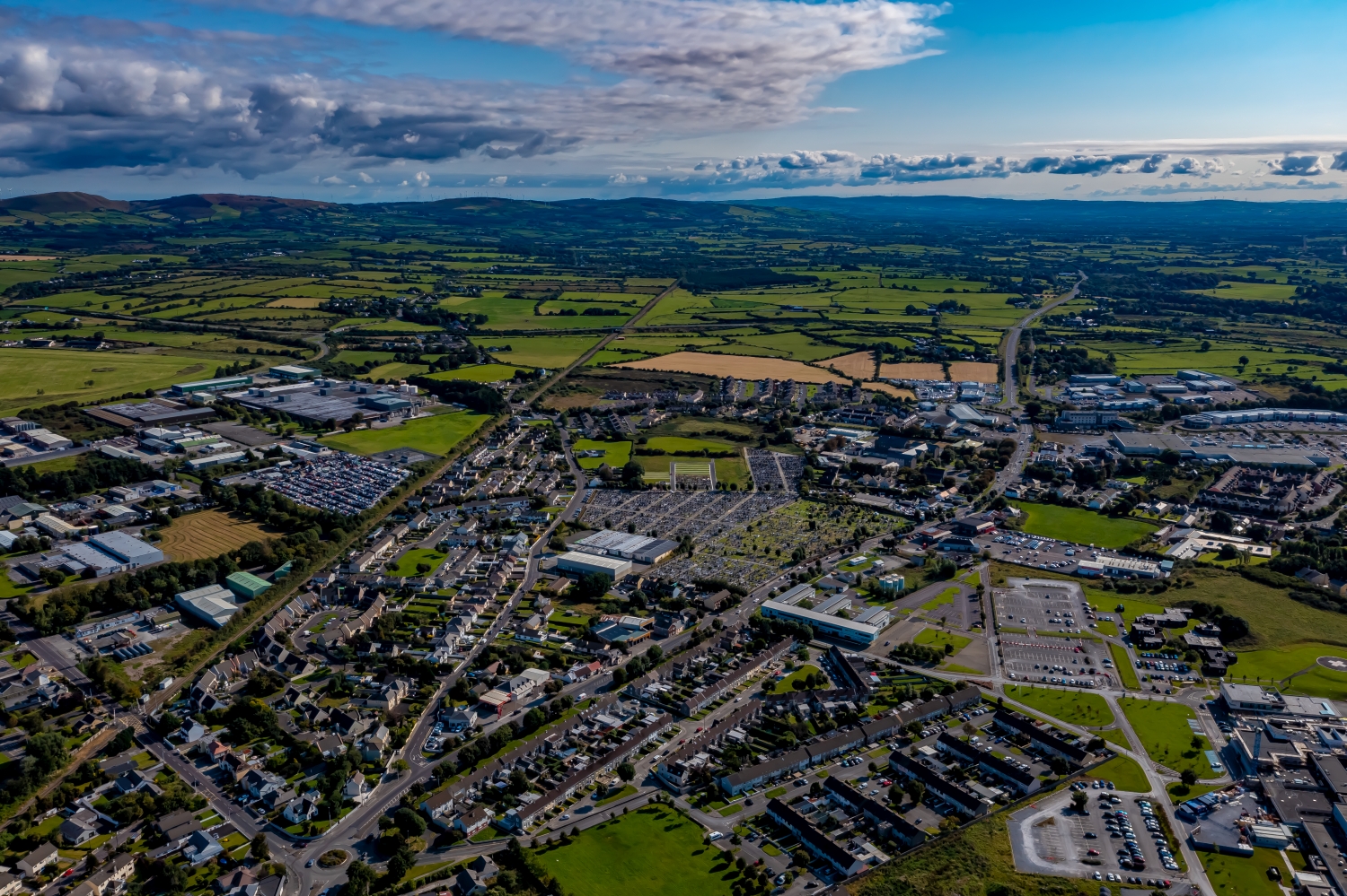
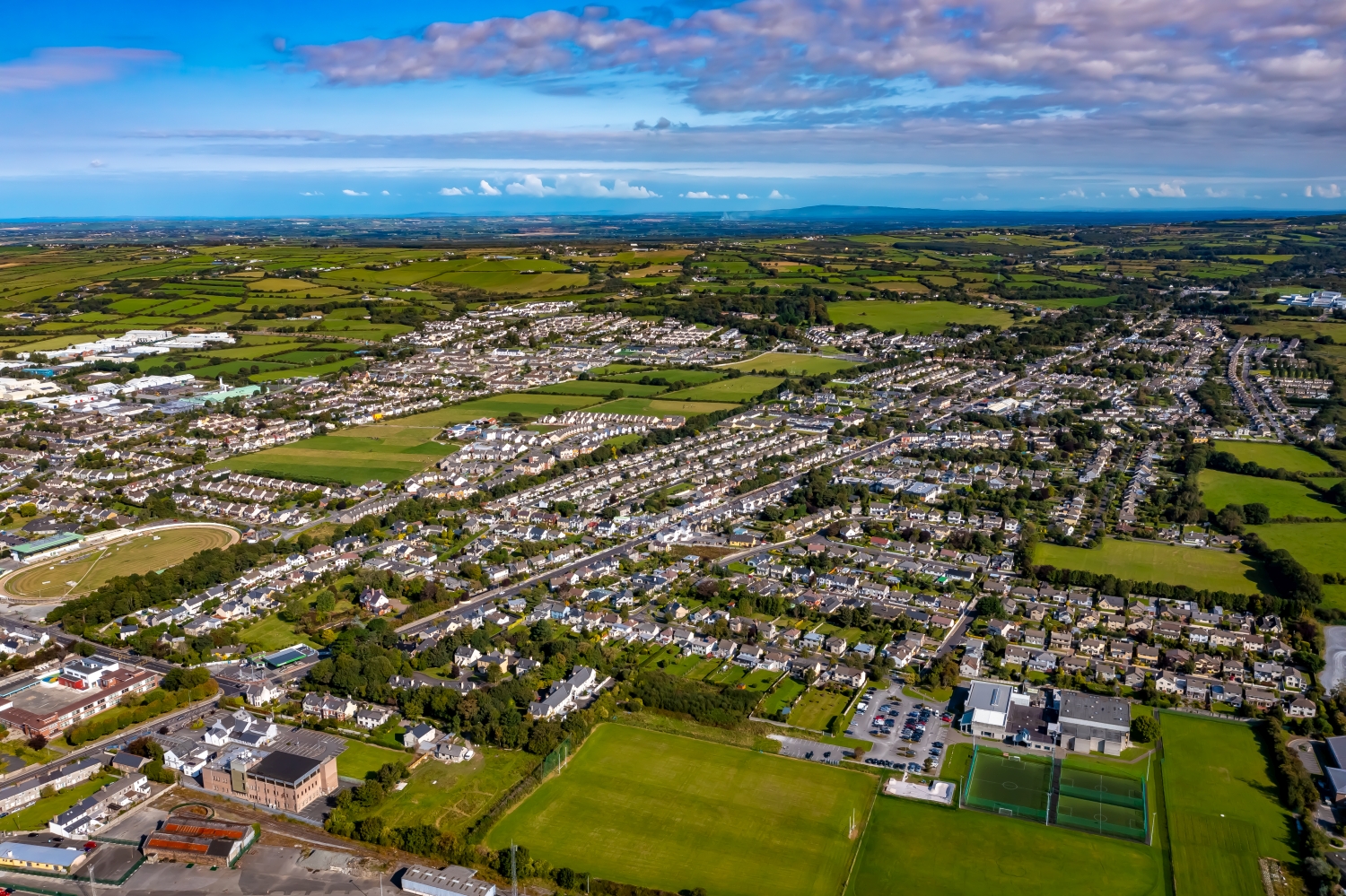
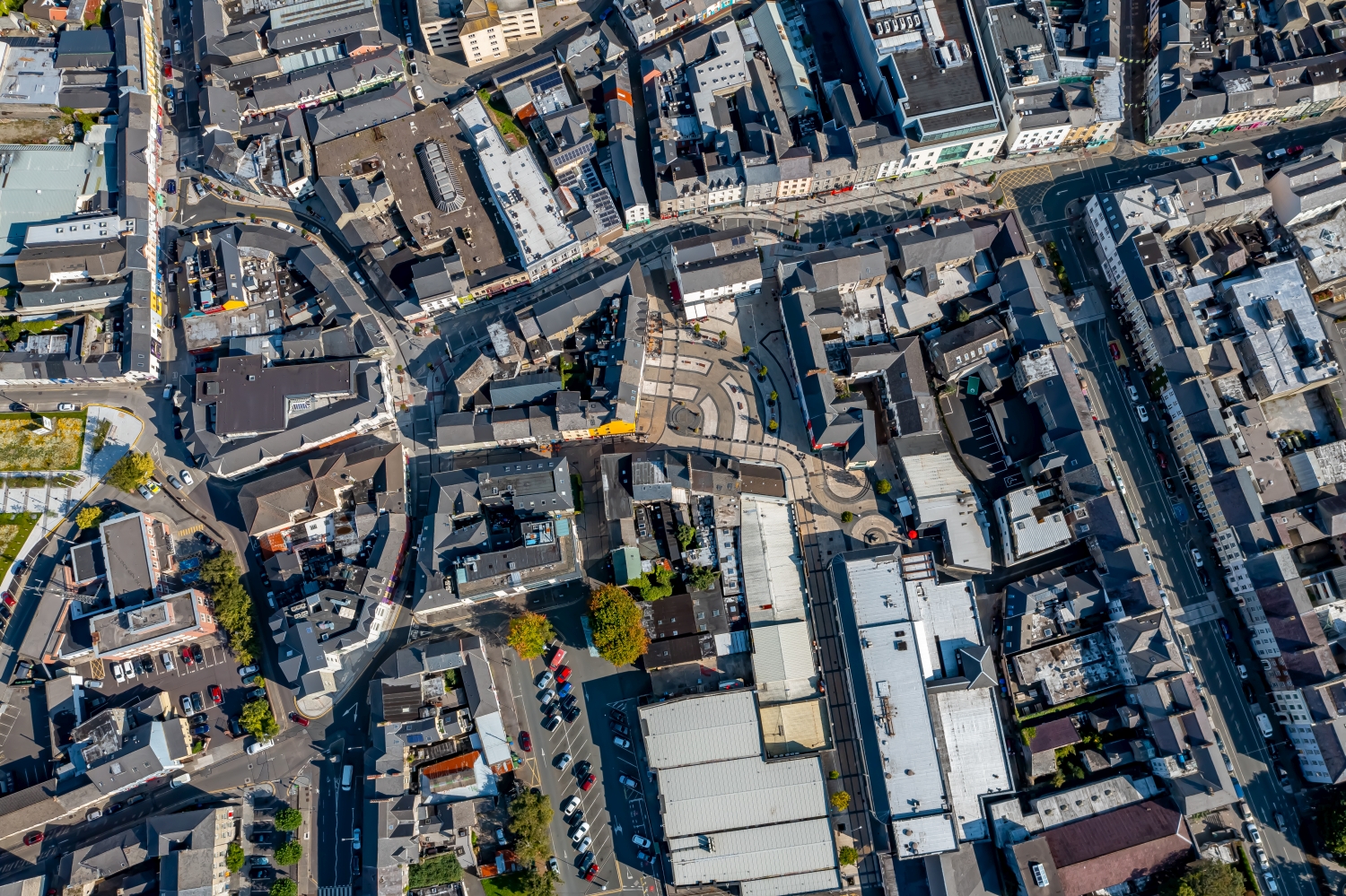
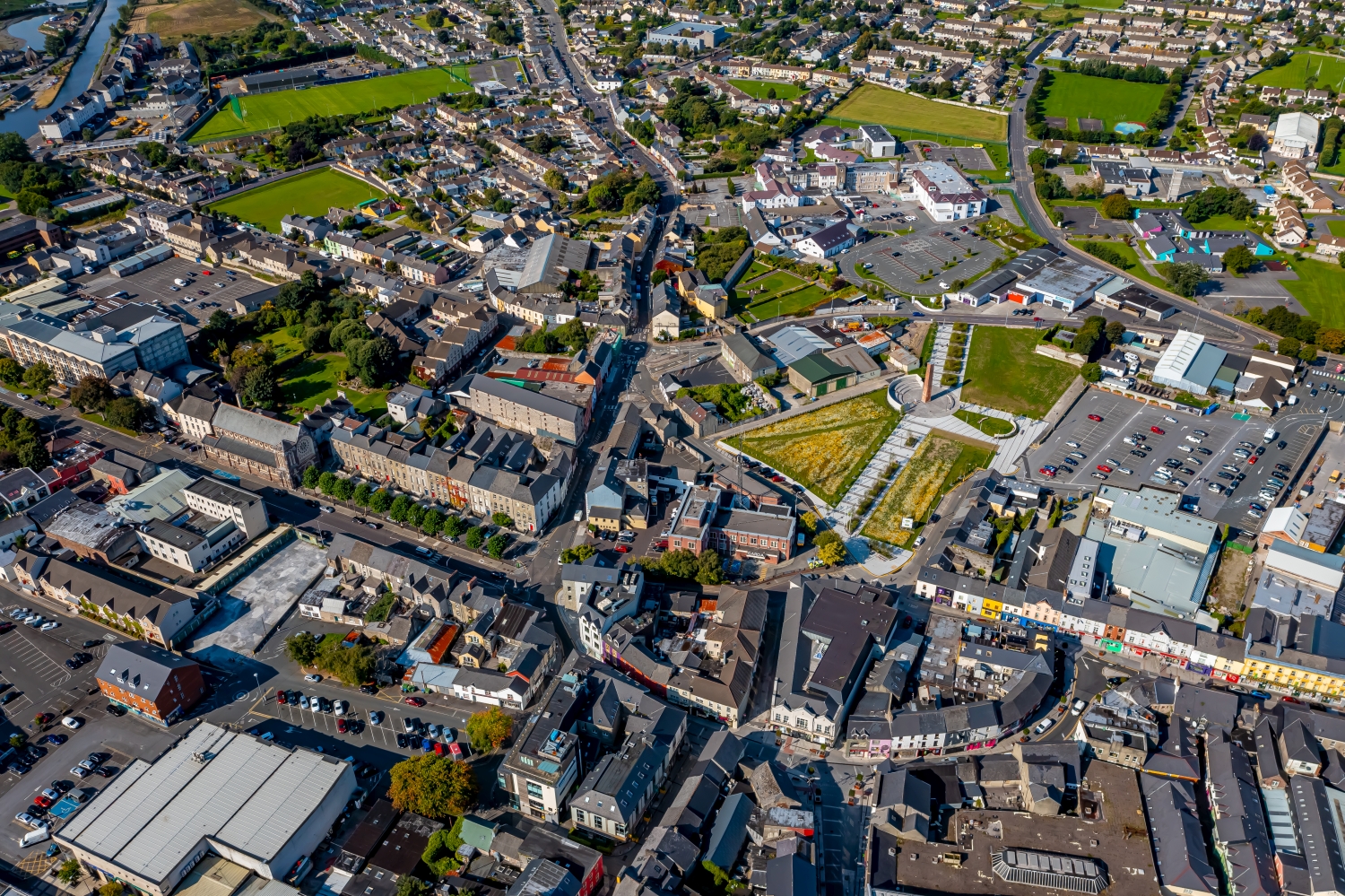
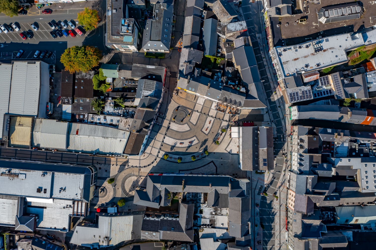
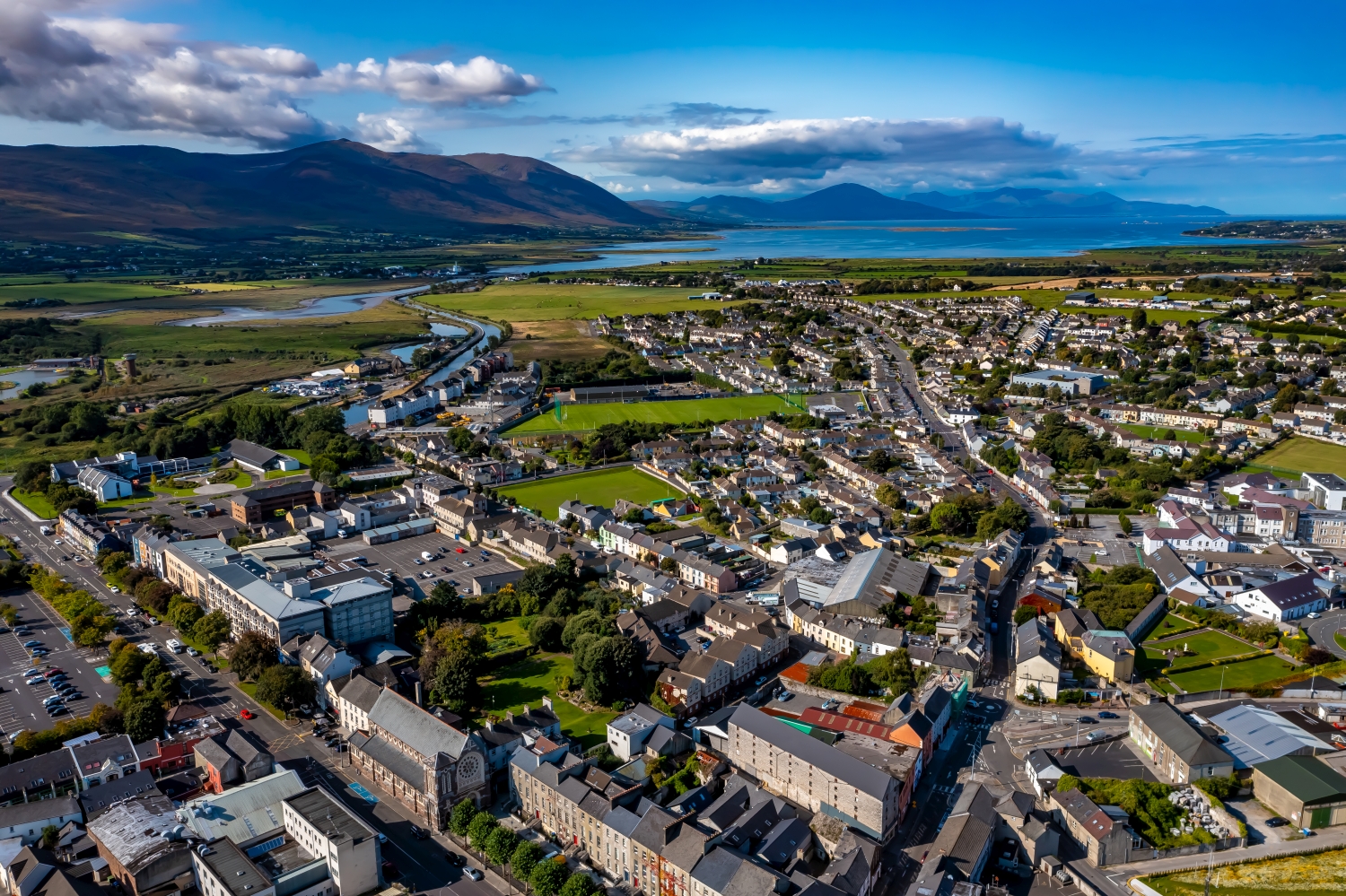
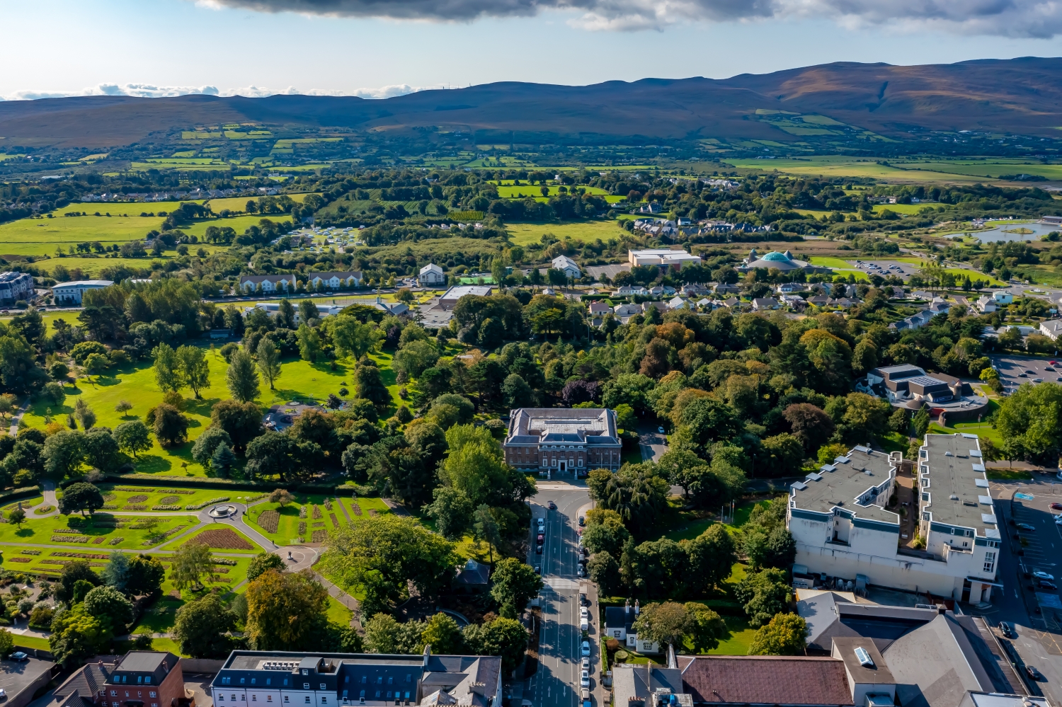
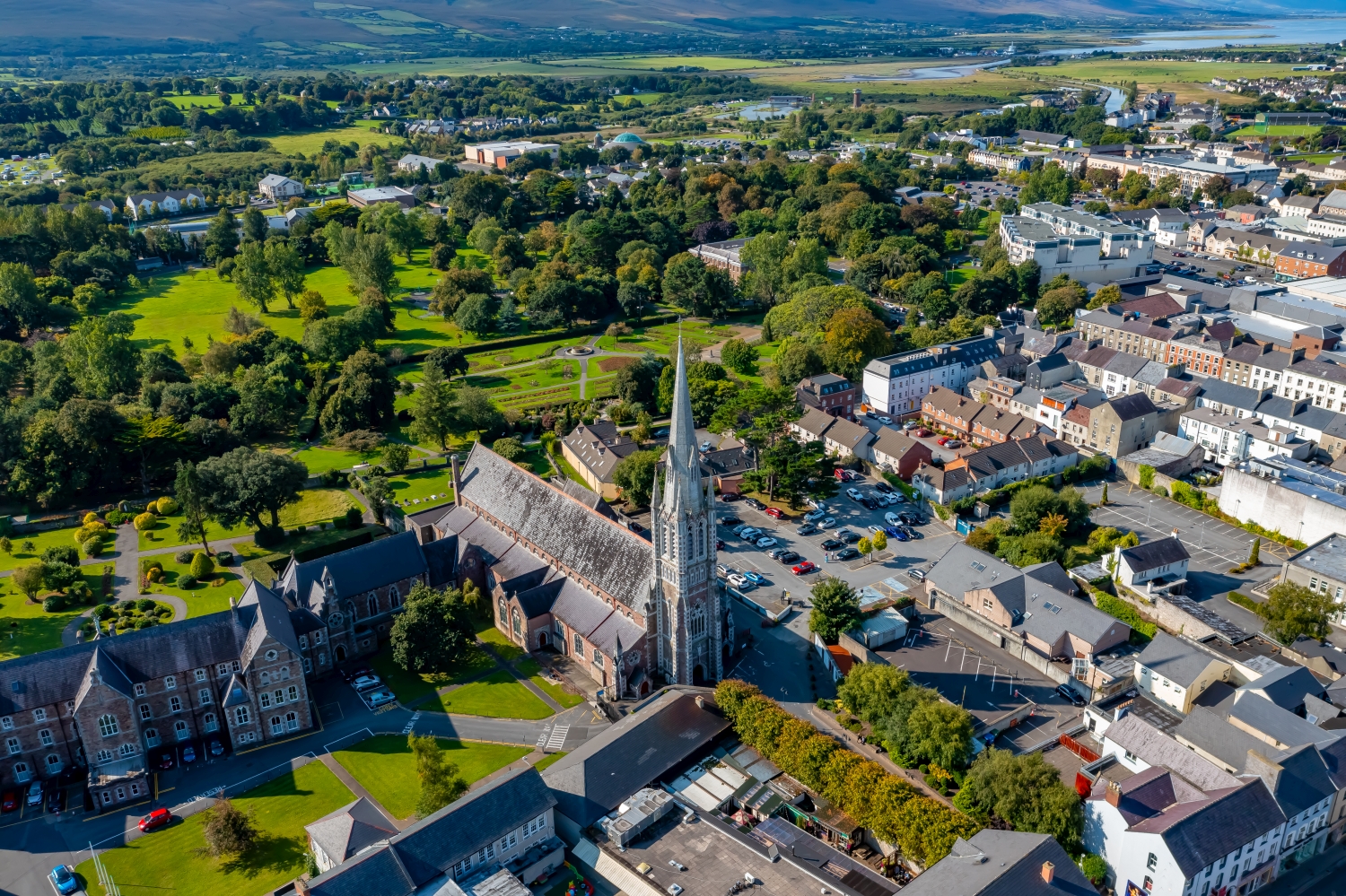
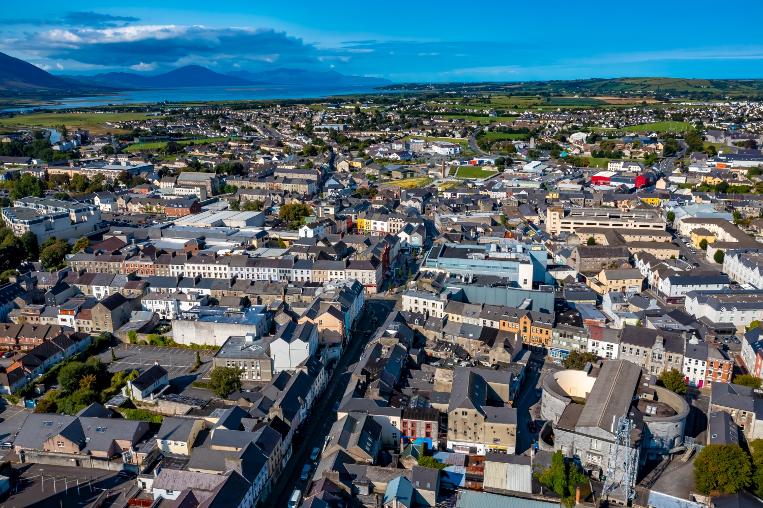
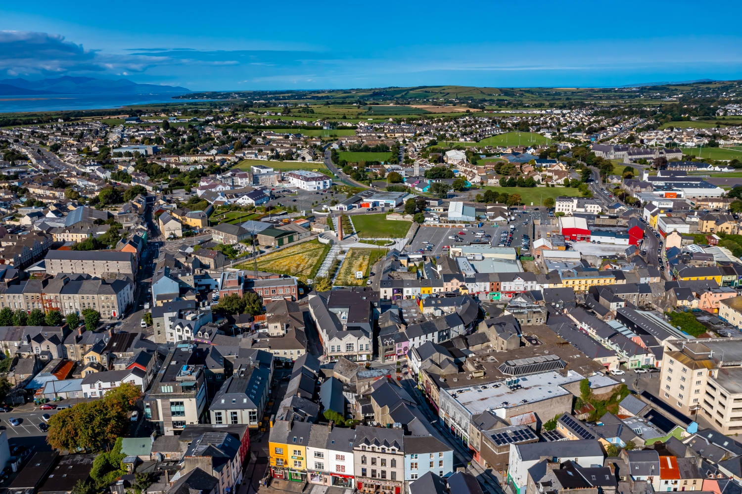
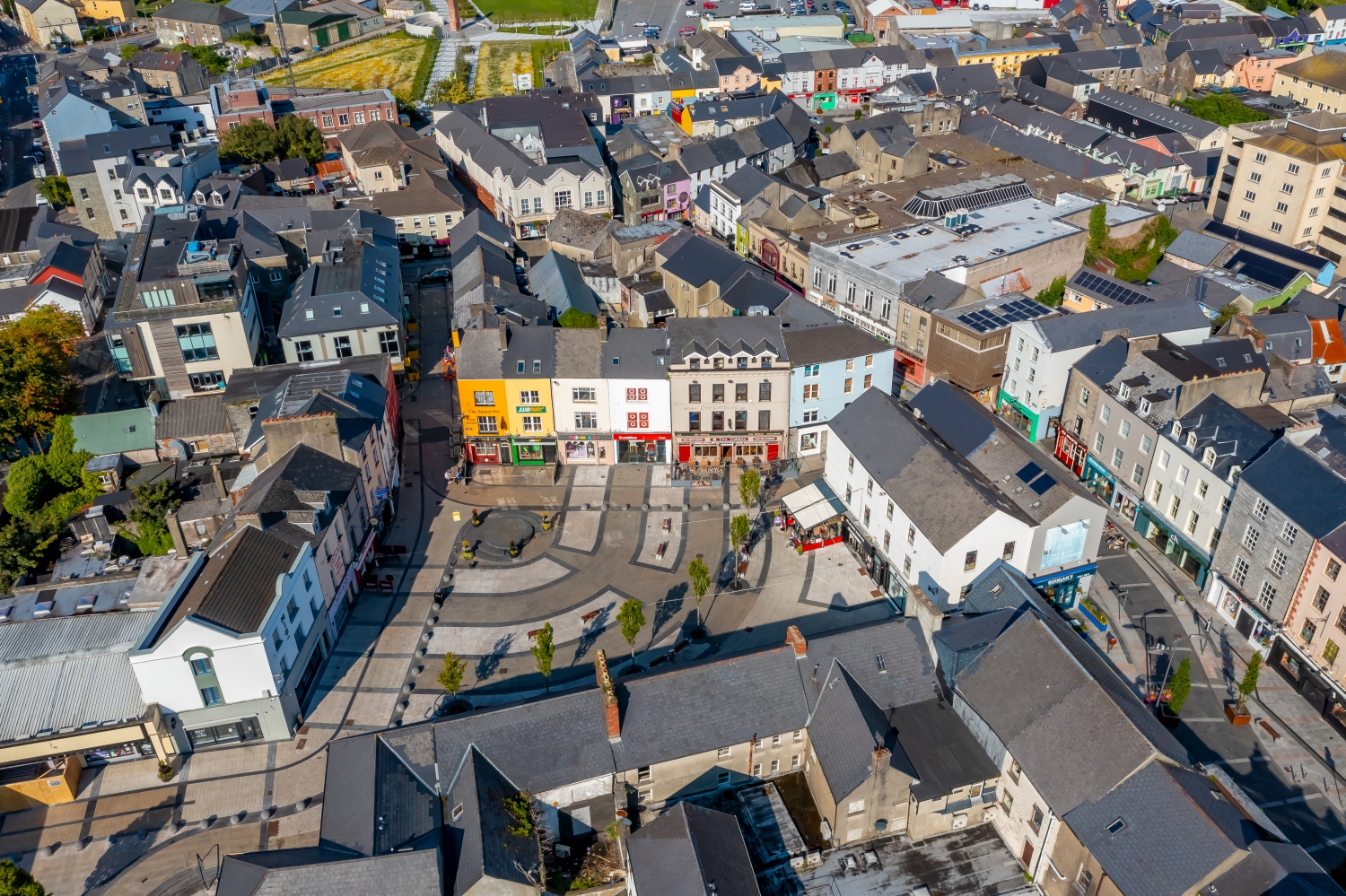
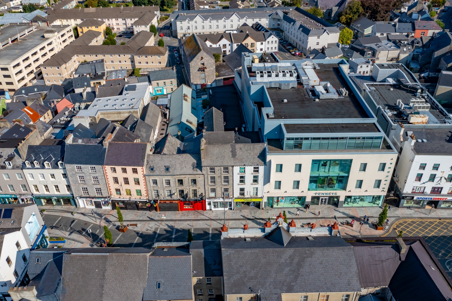
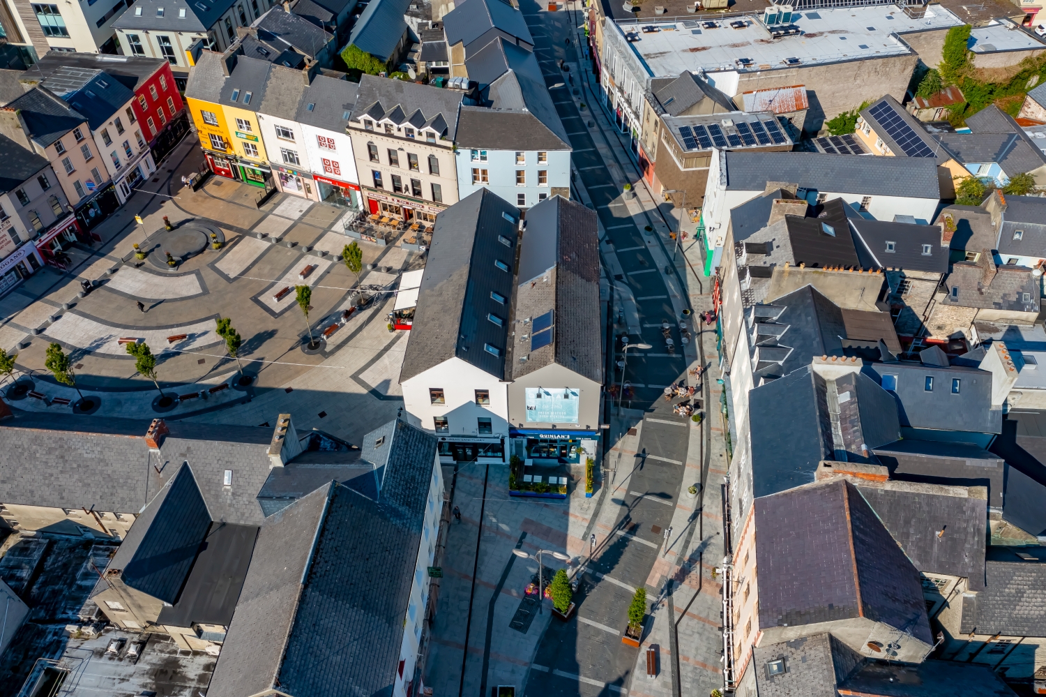
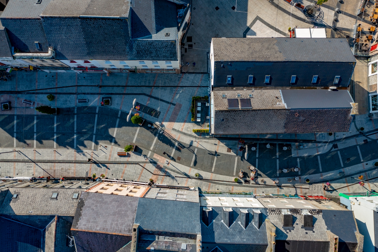
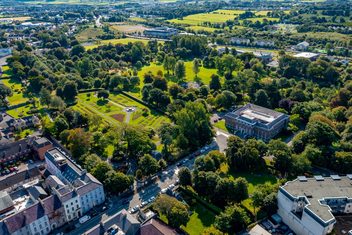
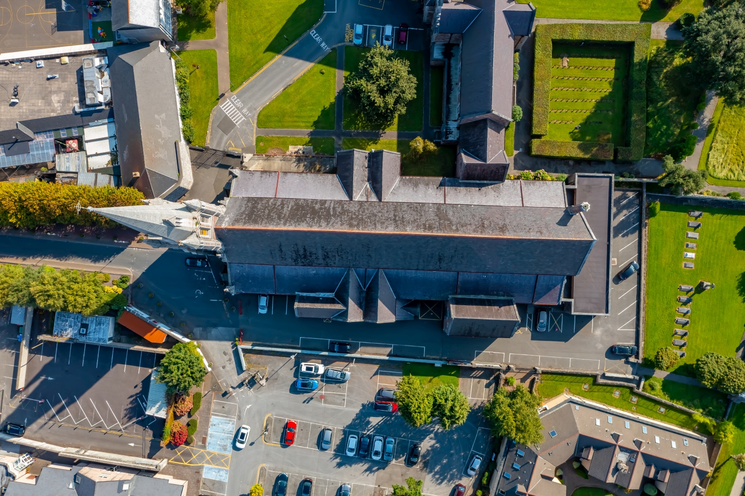
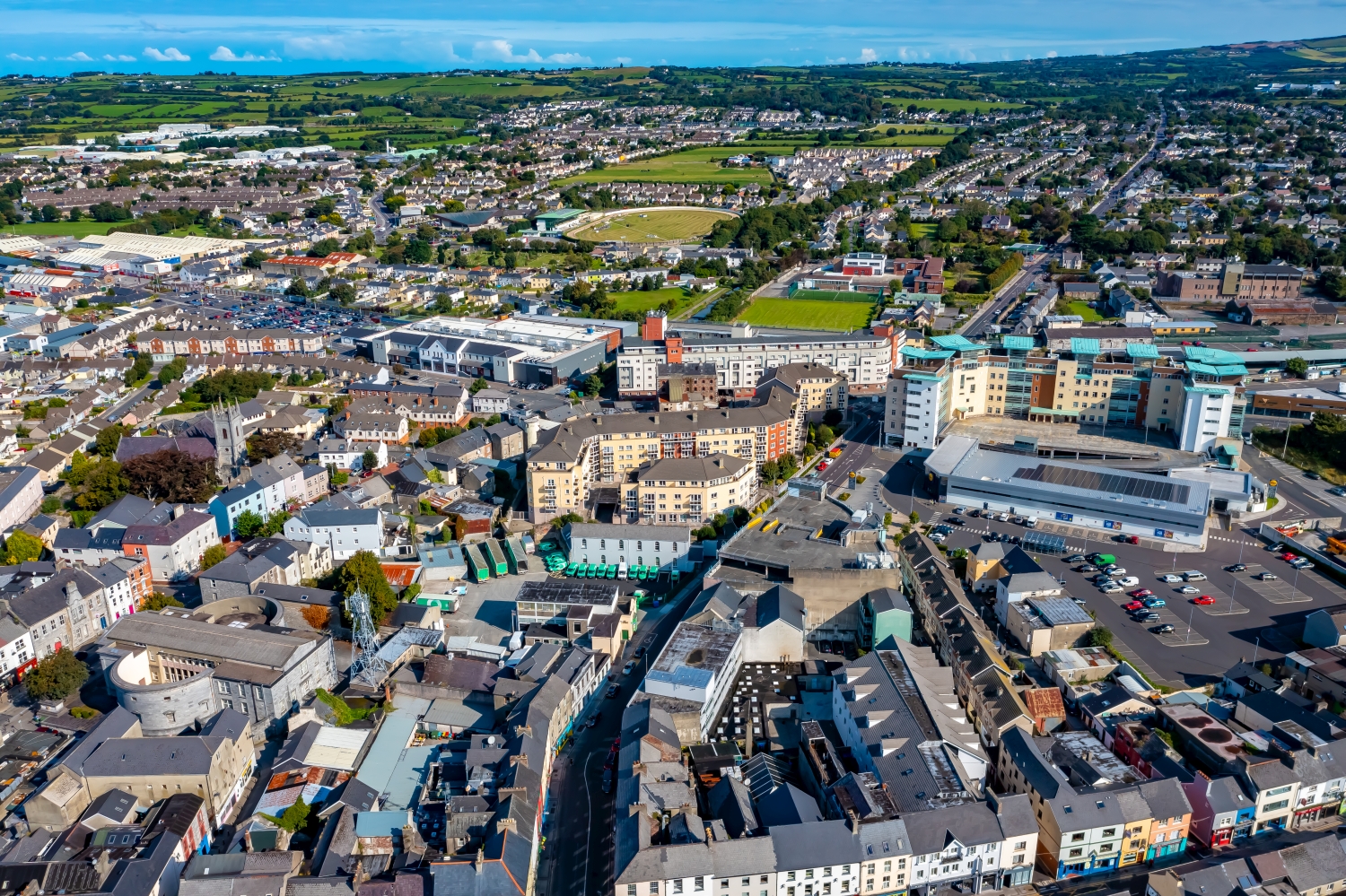
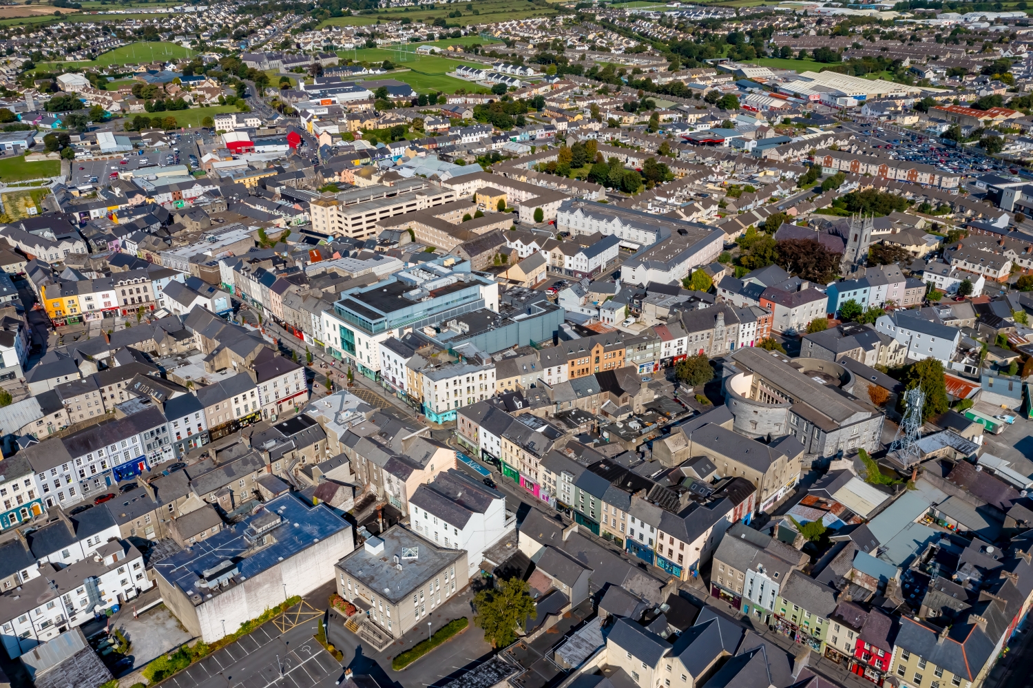
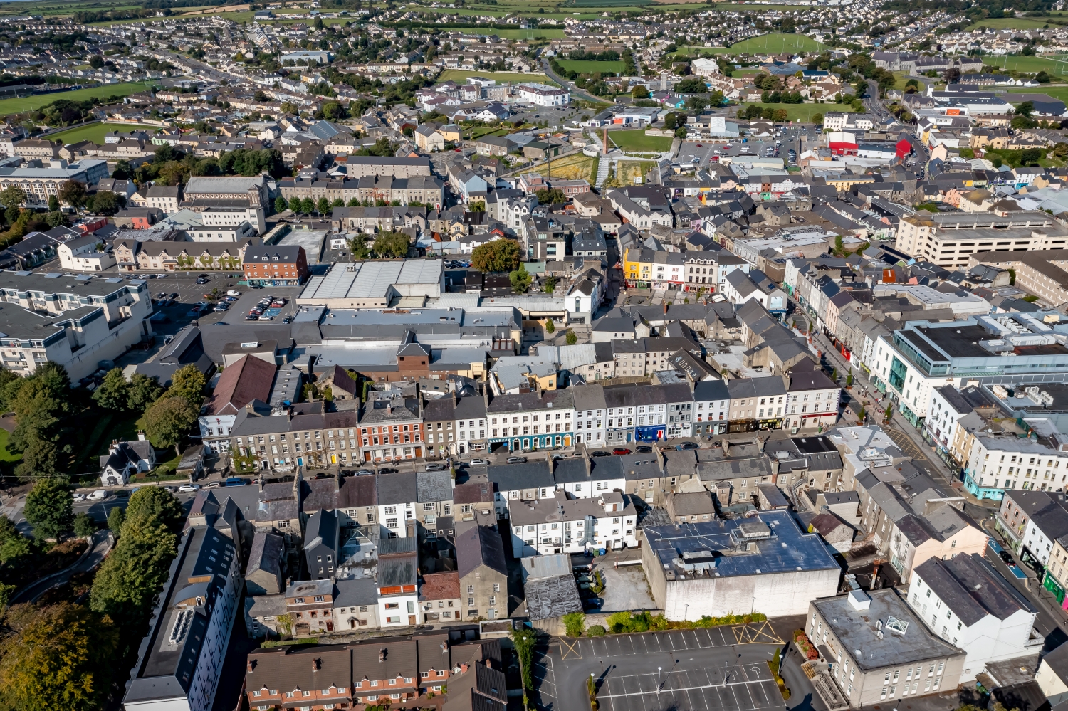
Above Tralee, wide views of the green surrounding area meet almost vertical views of streets and squares. Nearby, facades and sidewalks organize the section. From a greater distance, the surrounding fields take on this task and show the location of the Irish city.
From the square into the green surroundings
In Tralee, the next larger green space helps to anchor a street detail in the townscape. Together, both show where the development opens up and where it almost completely closes a block.
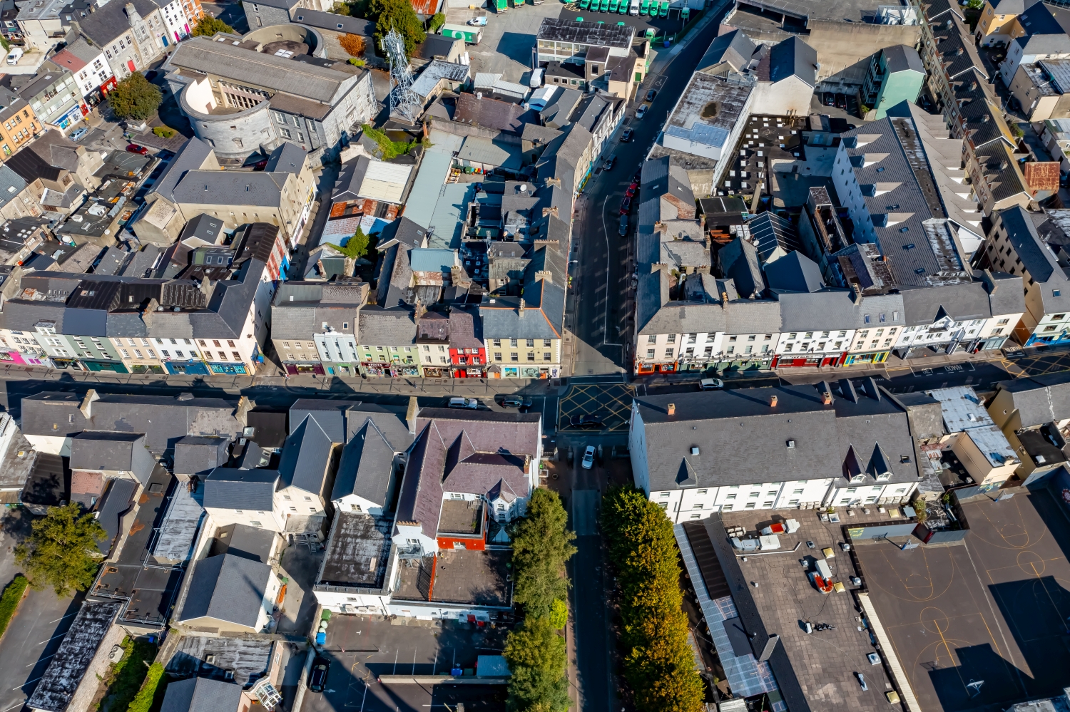
The gaps between the houses reveal how tightly built the place is. An inner courtyard opens up the roof structure, a treetop covers part of it, and a wide street separates two blocks. Anyone who looks at the photo can follow these gaps and get a clearer picture than if they tried to identify each building individually. A particularly suitable view for a city portrait is one in which the view from a clearly visible roof can move on to the neighboring streets.
Order along a line
To find your way around an unfamiliar townscape, you can follow a continuous line until there is a noticeable change in direction. It is often only on this path that small junctions or free spaces become apparent. The image section determines how much of this order remains visible. If the beginning of the line remains in the foreground and its destination remains in the back part of the image, a photograph has a clear reading direction even without drawn arrows. It's particularly worth looking at in a portrait format.
What becomes visible on the edge of town
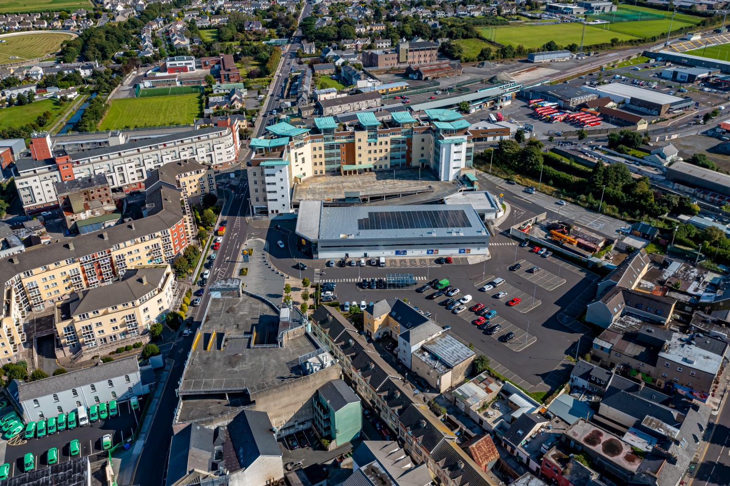
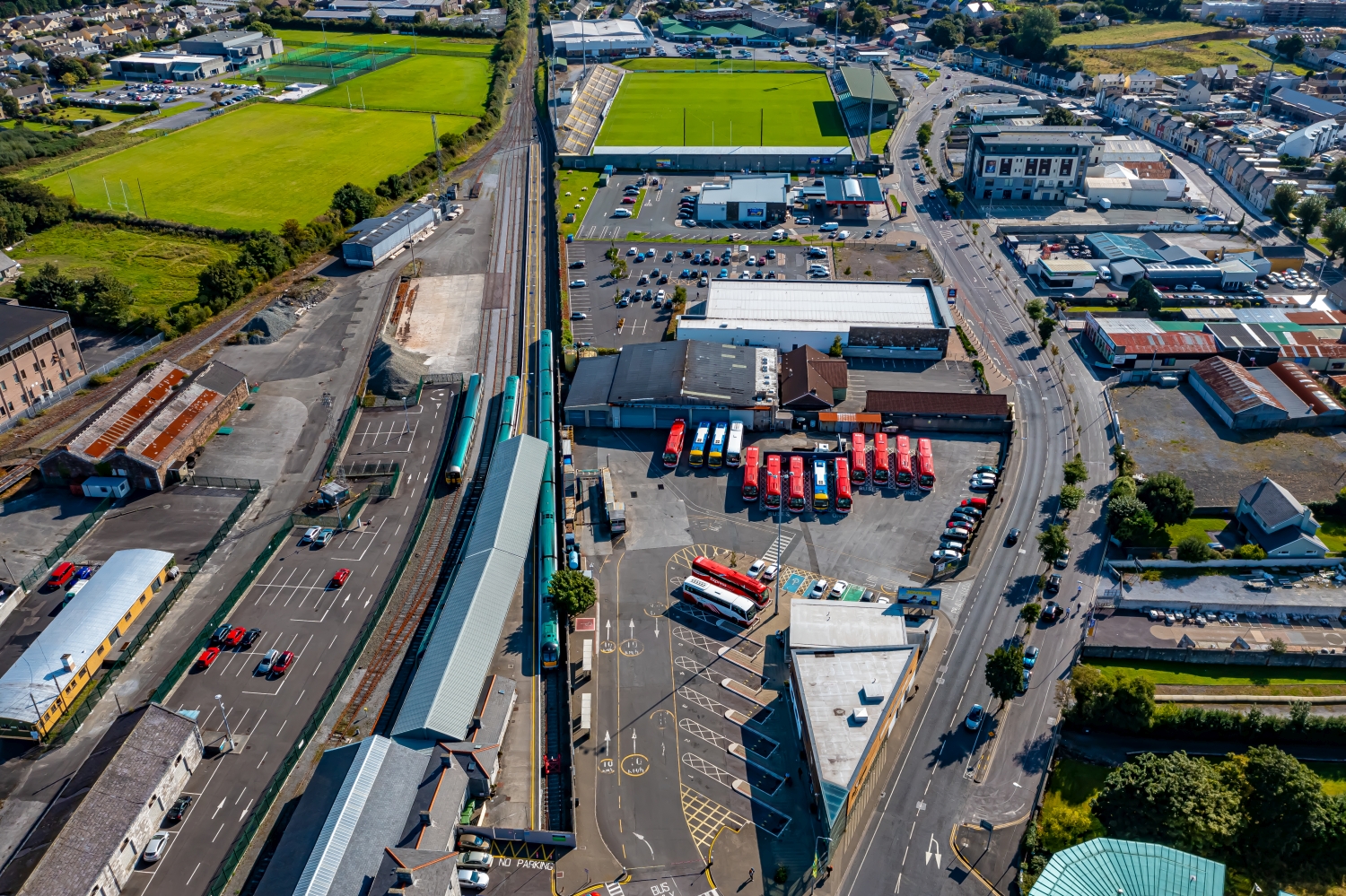
On the edge of town, several scales come together in a small section. On one side there are individual buildings with gardens and driveways. On the other hand, a single open area sometimes takes up as much space as several streets. This change can be shown in the picture over a common edge. A section in which the border between the two areas remains visible even when displayed narrowly is suitable for a website. The motif then retains its local reference even in the mobile view.
Shades of green in the image
For a direct image comparison, use shot 23 and shot 31 from the gallery with 37 aerial photos. In the first image, green areas make up a smaller part of the section than in the second. It's worth tracking the green areas individually. Only in connection with neighboring forms does it become clear what is in the foreground and what belongs to the more distant surroundings.
According to camera data, Shot 1 and Shot 37 were taken on September 18, 2022. There is a gap of around 11 minutes between the two images. ISO 100 and an exposure time of 1/320 second are recorded for both files.
A moving view is also available. The clip “Tralee in Ireland with Drone” can be found under Aerial Videos. The linked preview leads to inclusion in the aerial photographer's portfolio on Adobe Stock.
Prepare a cityscape for readers
A local person will often recognize a street by a single roof. Anyone who sees the city for the first time needs more clues. For a city guide, a short caption can best start at a visible intersection and lead the eye from there to the actual subject. The aerial photographer sees the surroundings outside the section while taking the picture. Readers will later only see the published area. Especially when cropping later, it is worth checking whether the connection described can still be seen in the final image.
Related motifs in the aerial photo archive
The article Killarney offers another perspective. In Killarney the view goes from the denser streets of the Irish town center to large green areas on the edge. In the gallery Mühlhausen there is a different focus. In Mühlhausen, larger traffic axes can be followed far into the more densely built-up parts of the city.
Aerial photos of Tralee | Ireland
Your aerial photographer across Europe