 F4LUFTBILDER
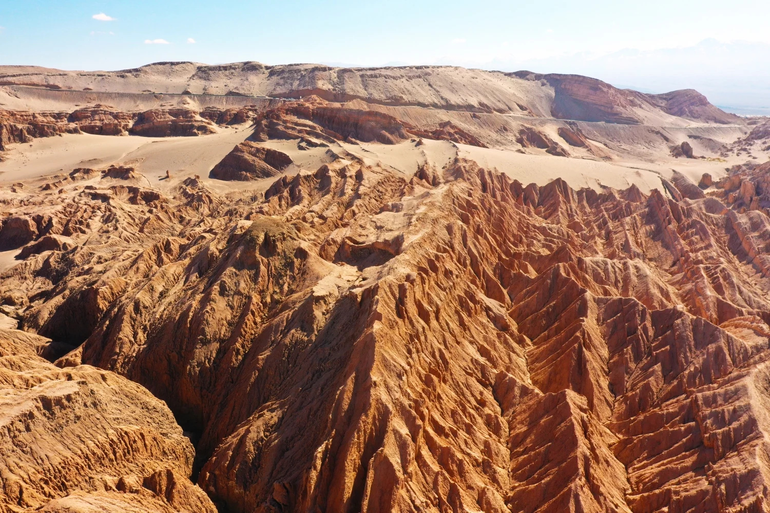
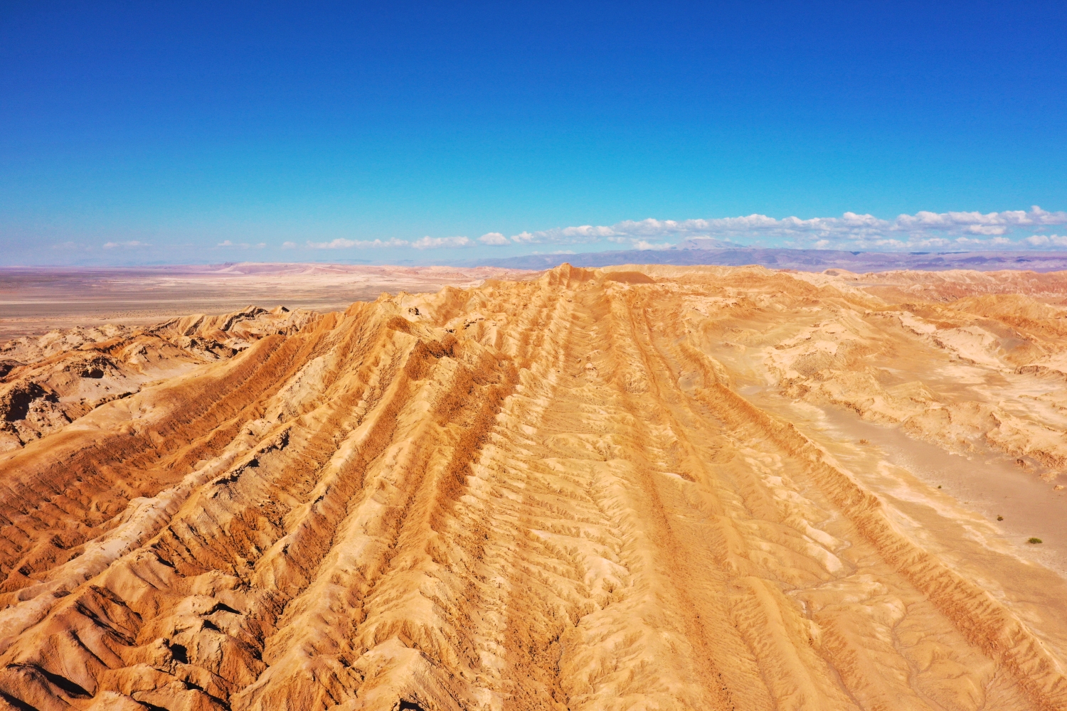
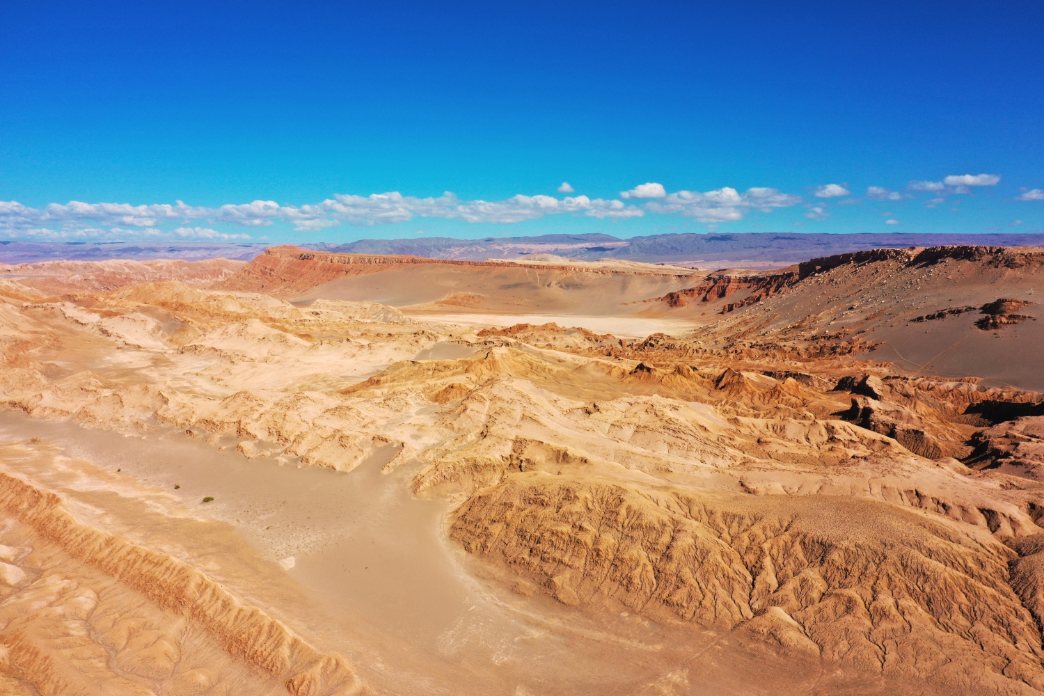
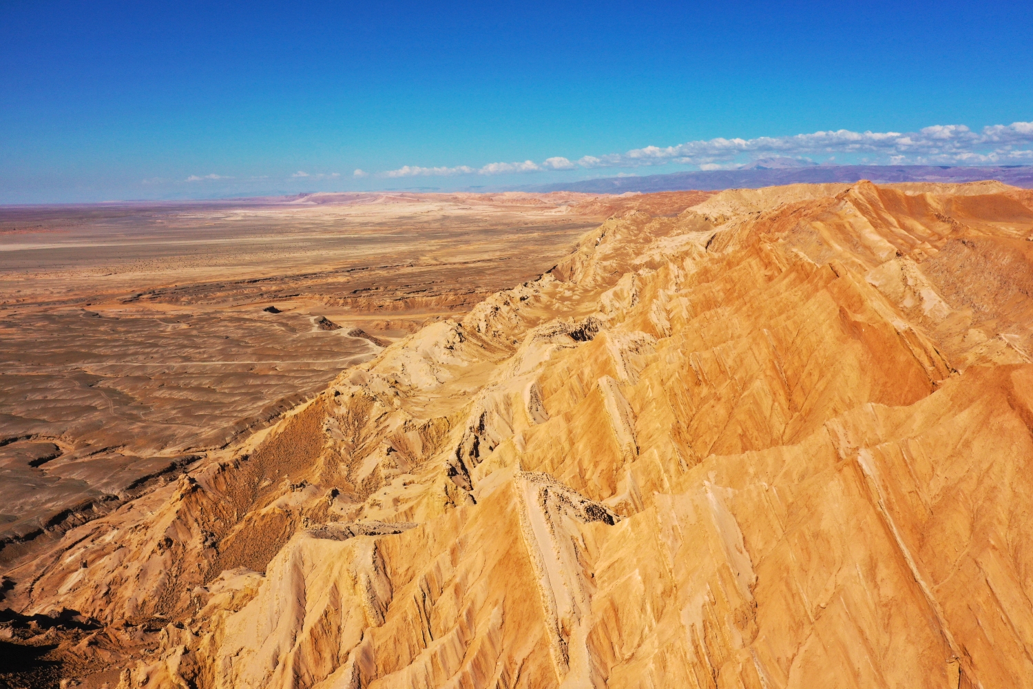
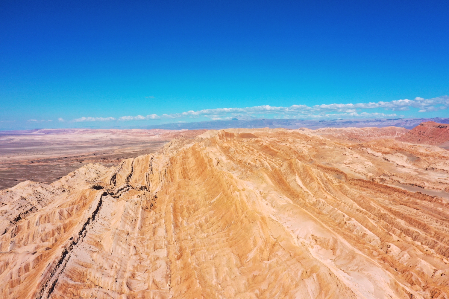
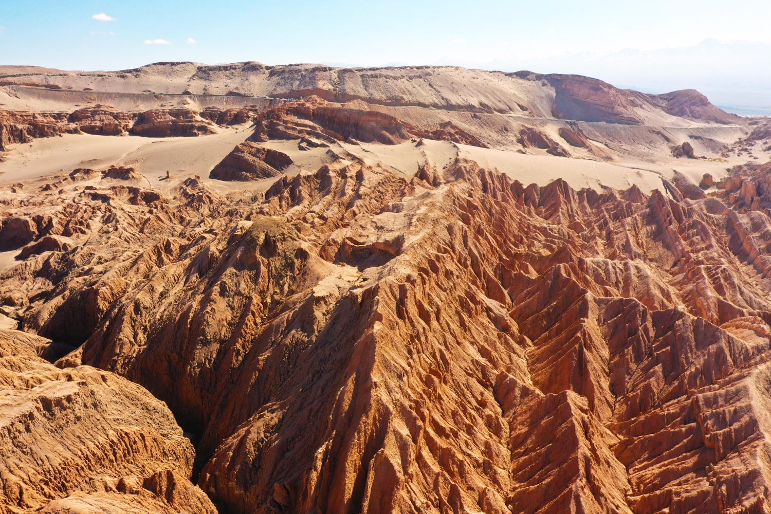
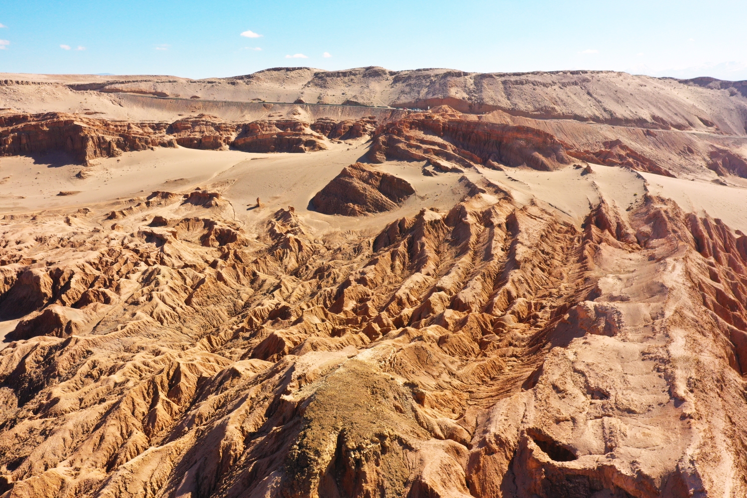
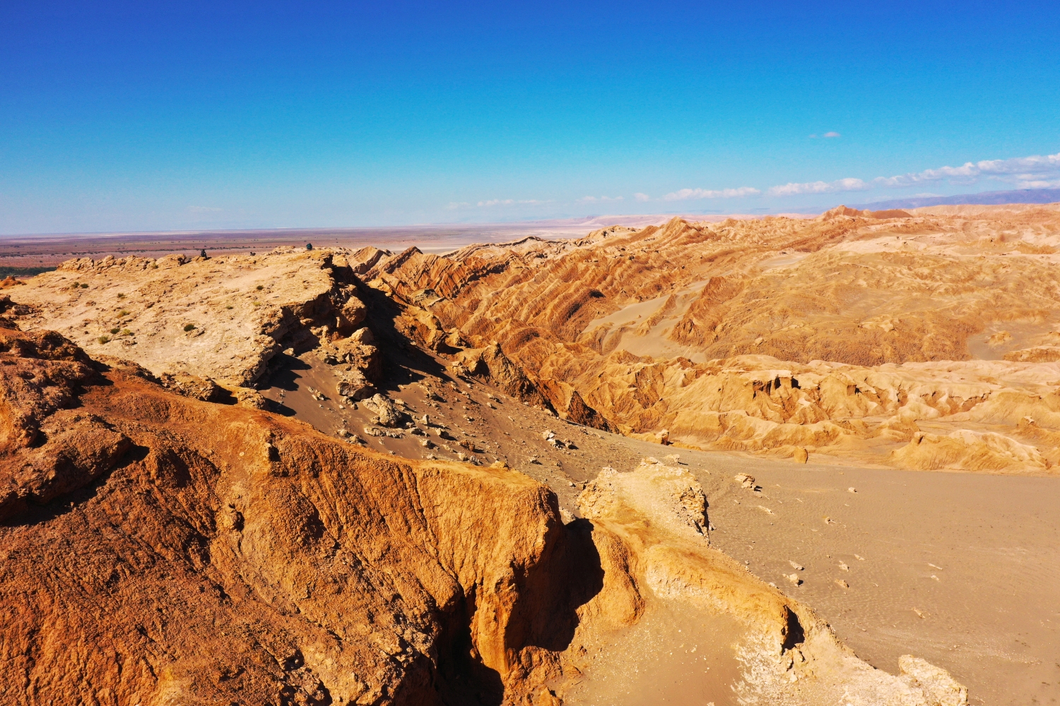
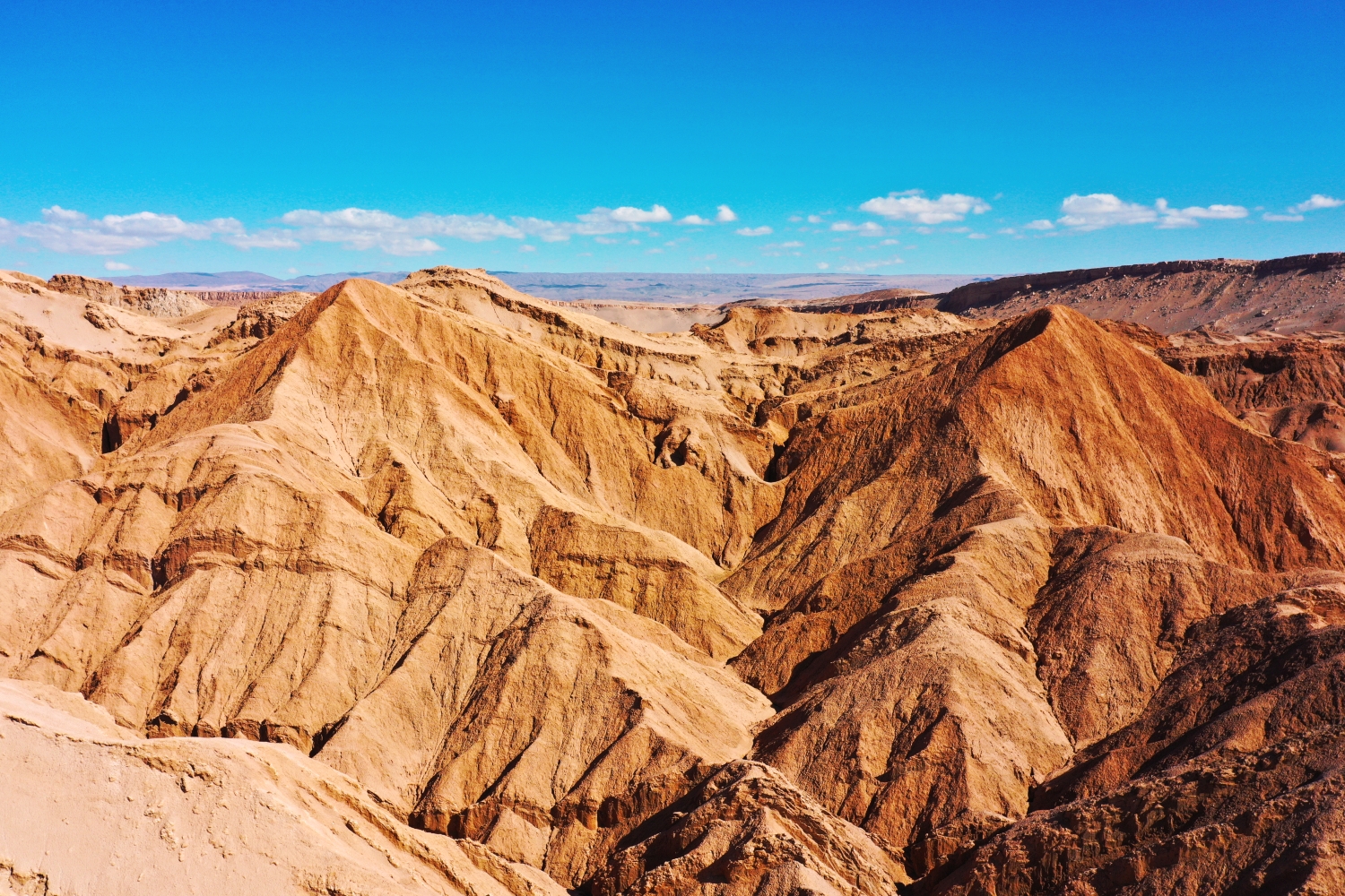
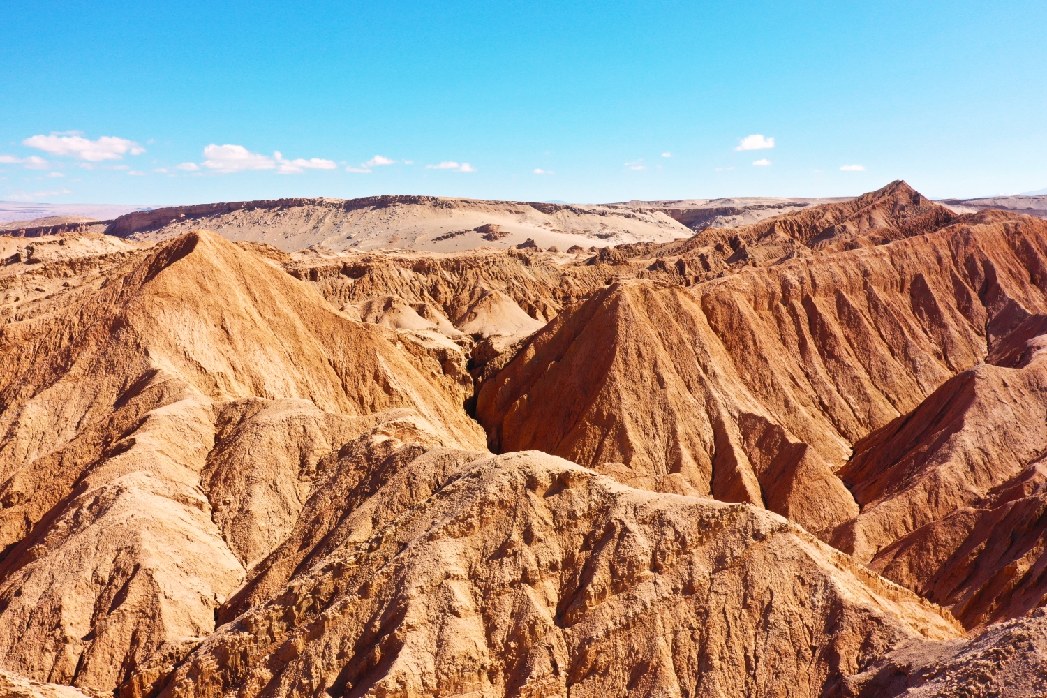
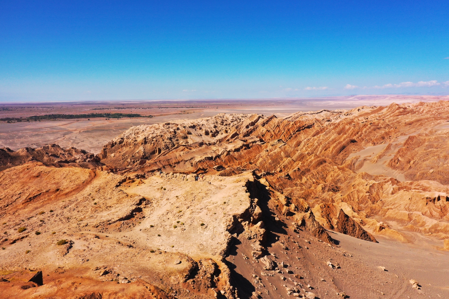
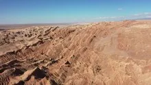
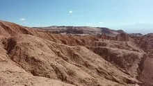
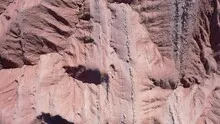
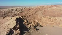

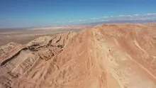
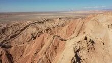
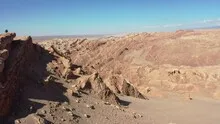
The folds of the Valle de la Luna
In the Valle de la Luna in Chile, flat, light soils alternate with deep grooves. The oblique aerial shots add depth to the terrain through shadows and overlapping ridges. Paths and tracks in the ground are often the only indications of how large a section actually is.
Terrain edges in slanted light
In the Valle de la Luna, some folds seem to merge into one another. A slanting shadow separates adjacent ridges and shows which of the lines actually borders an elevation.
In a dry, largely open landscape, familiar references to size relationships are often missing. A channel in the foreground may be much smaller than its clear markings suggest. A path or a clearly visible edge of the terrain helps with classification. In the aerial photograph it is also worth looking into the distance, where several color zones meet. There the relationship between the nearby surface and the larger landscape becomes visible without the need for a building as a comparison.
The shape of the rock in the light
Rock surfaces are often harder to read in an aerial photograph than their sharp outline suggests. A dark area can be a deep crevice or just in shadow. The connection of several visible edges provides information. Where they converge and cover a surface, a spatial jump is understandable. A location with clear rock contours is suitable for publication with smaller images. In a larger format, the eye can wander more over the finer differences in the surface.
Shadow as an indication of height
In the aerial photo, a shadow lies next to the object that casts it. This makes it possible to perceive the approximate height of a shape in relation to its surroundings, even if its side surface is barely visible. The effect depends heavily on sunlight. When selecting a shot, you can therefore check whether the shadow explains a detail or obscures an important area. A second view from a different direction complements the image where the dark area has little detail.
The distribution of blue tones
For a direct image comparison, use shot 5 and shot 4 from the gallery with 10 aerial photos. In the first excerpt, shades of blue play a smaller role. In the second shot, blue areas take up more space. Blue can extend over a large contiguous area or only appear in individual parts. What also counts for the effect is whether these areas extend to the edge of the picture or surround the main subject.
According to camera data, Shot 1 and Shot 10 were taken on March 13, 2022. There is a gap of around 14 minutes between the two pictures. ISO 100 and an exposure time of 1/640 second are recorded for both files.
The Aerial Videos section supplements the photos with 9 clips. The aerial photographer's photographs linked there include “Valle de la Luna in Chile”. The relevant video page on Adobe Stock can be opened using the respective preview.
Show the proportions of the landscape
It is easy to overestimate the size of a shape in a landscape painting. A bright spot may be a small open area or show an extensive portion of the terrain. When selecting images, a comprehensible reference point is therefore more important than the most dramatic perspective possible. If present in the motif, a path or a clearly recognizable shoreline can take on this task. An aerial photographer can also relate an overview and a single view. Readers are then given an idea of the location before viewing the surface up close.
Related motifs in the aerial photo archive
The article Atacama Desert offers another perspective. The Atacama is surprisingly colorful in these aerial photos. In the gallery Đavolja Varoš there is a different focus. At Đavolja Varoš, a brightly eroded flank interrupts the closed Serbian mountain forest.
Aerial Photos of Valle de la Luna
Aerial Photographs & Aerial Videos
F4 Aerial Photographs – Your specialist for aerial photographs Worldwide. Benefit from our many years of experience and technical equipment and let us convince you with a quick implementation and unbureaucratic processing. We look forward to inspiring you with breathtaking aerial photographs Worldwide.
Services
Aerial photos in 4K resolution
Aerial videos in 4K resolution
Individual perspective requests
Including image editing
All necessary permits and insurance
Your benefits
No appointment required
Short-term processing
Pay conveniently via Paypal
Picture delivery via download
Direct contact person
Aerial Photographs & Aerial Videos from Valle de la Luna
Use the contact form and send us your ideas and specifications for aerial photographs & aerial videos in Valle de la Luna and the surrounding area. We will contact you immediately and make you an offer that will convince you and implement your wishes in detail. We would be happy to inspire you with impressive aerial photographs and aerial photos in Valle de la Luna and the surrounding area. If you would like to buy existing aerial photographs from our website, please do not hesitate to contact us
Request a quote