 F4LUFTBILDER


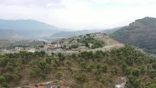
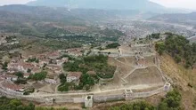
Berat and its castle above the city
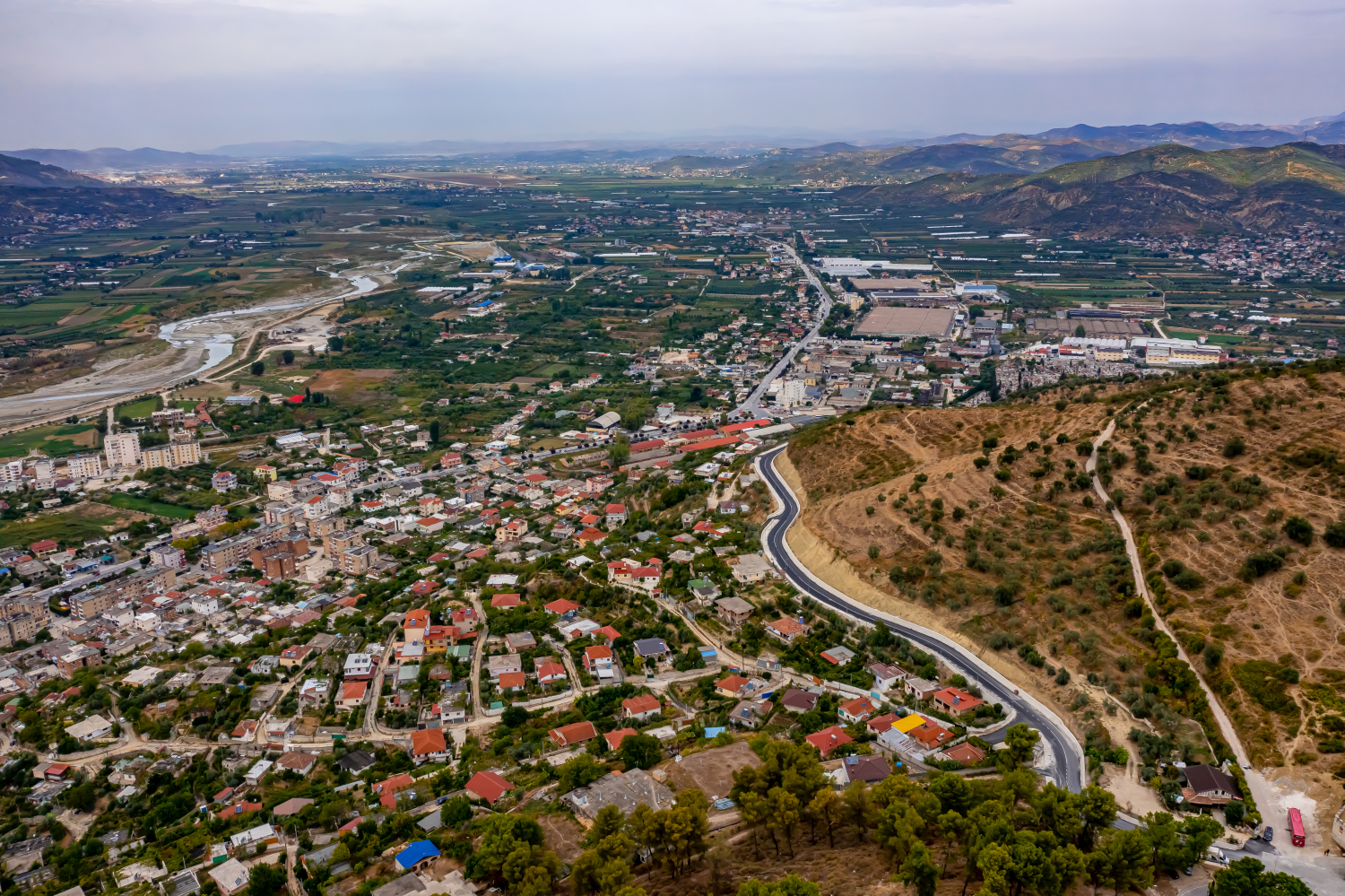
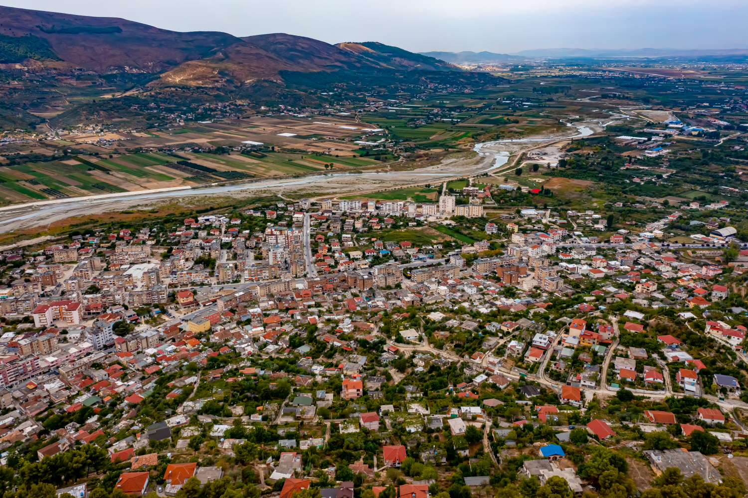
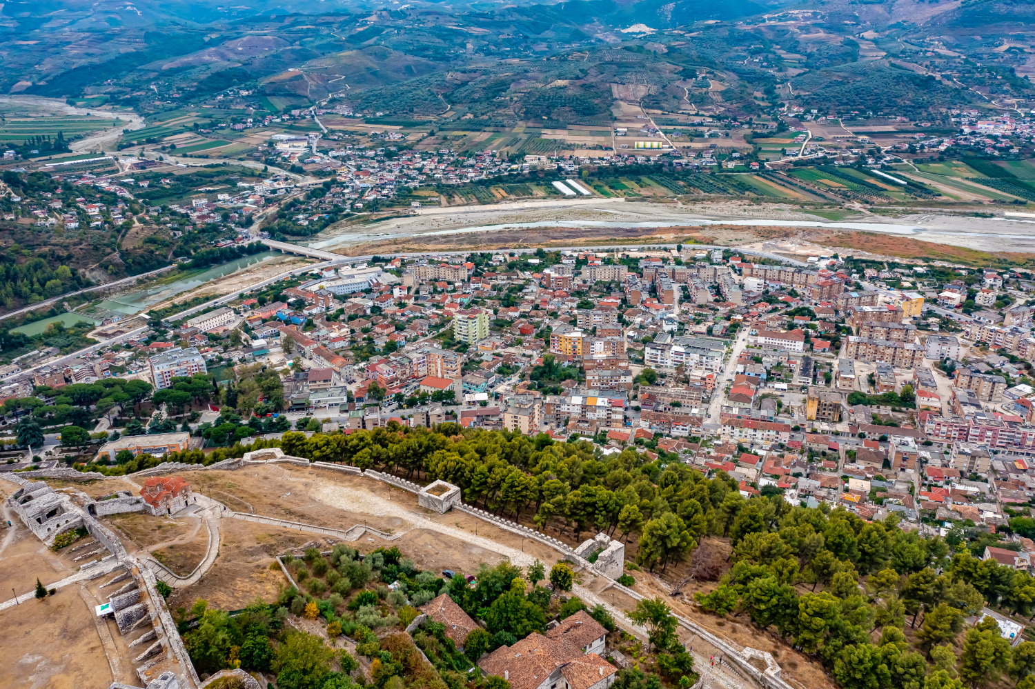
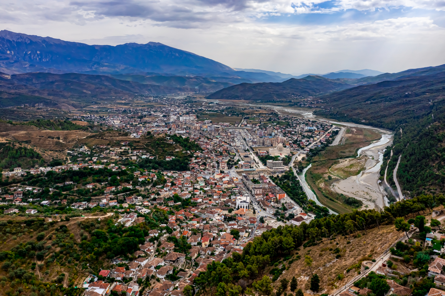
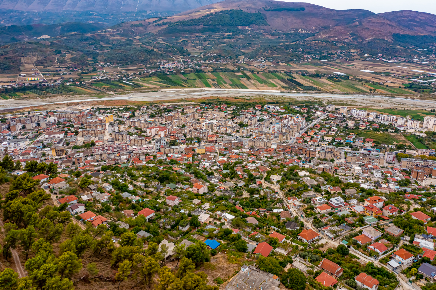
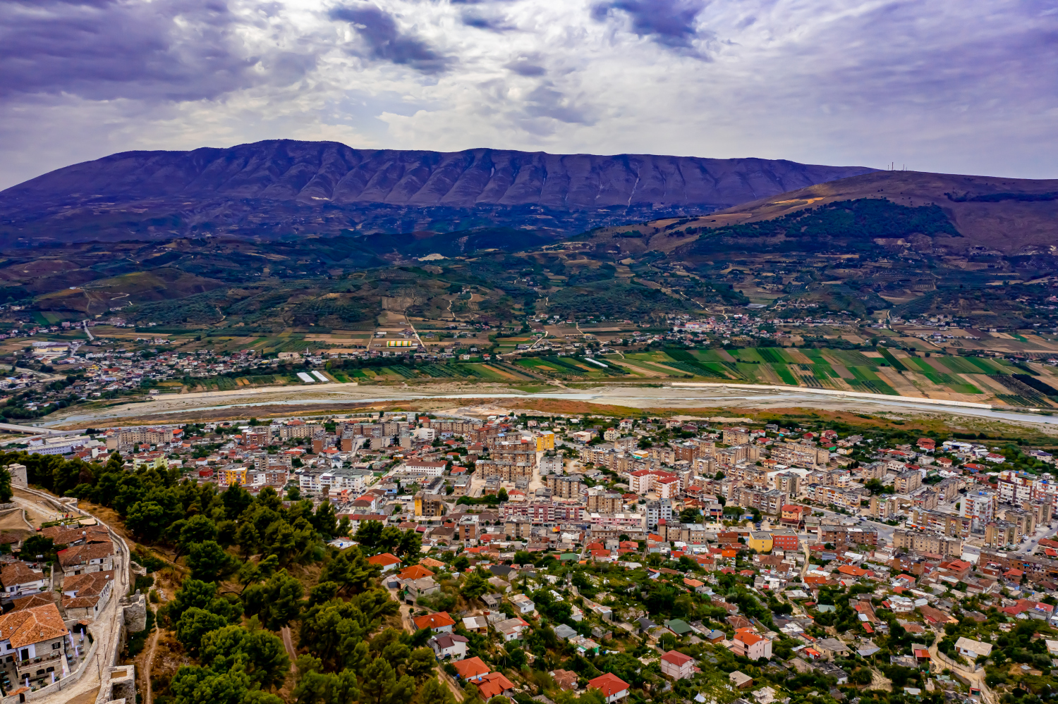
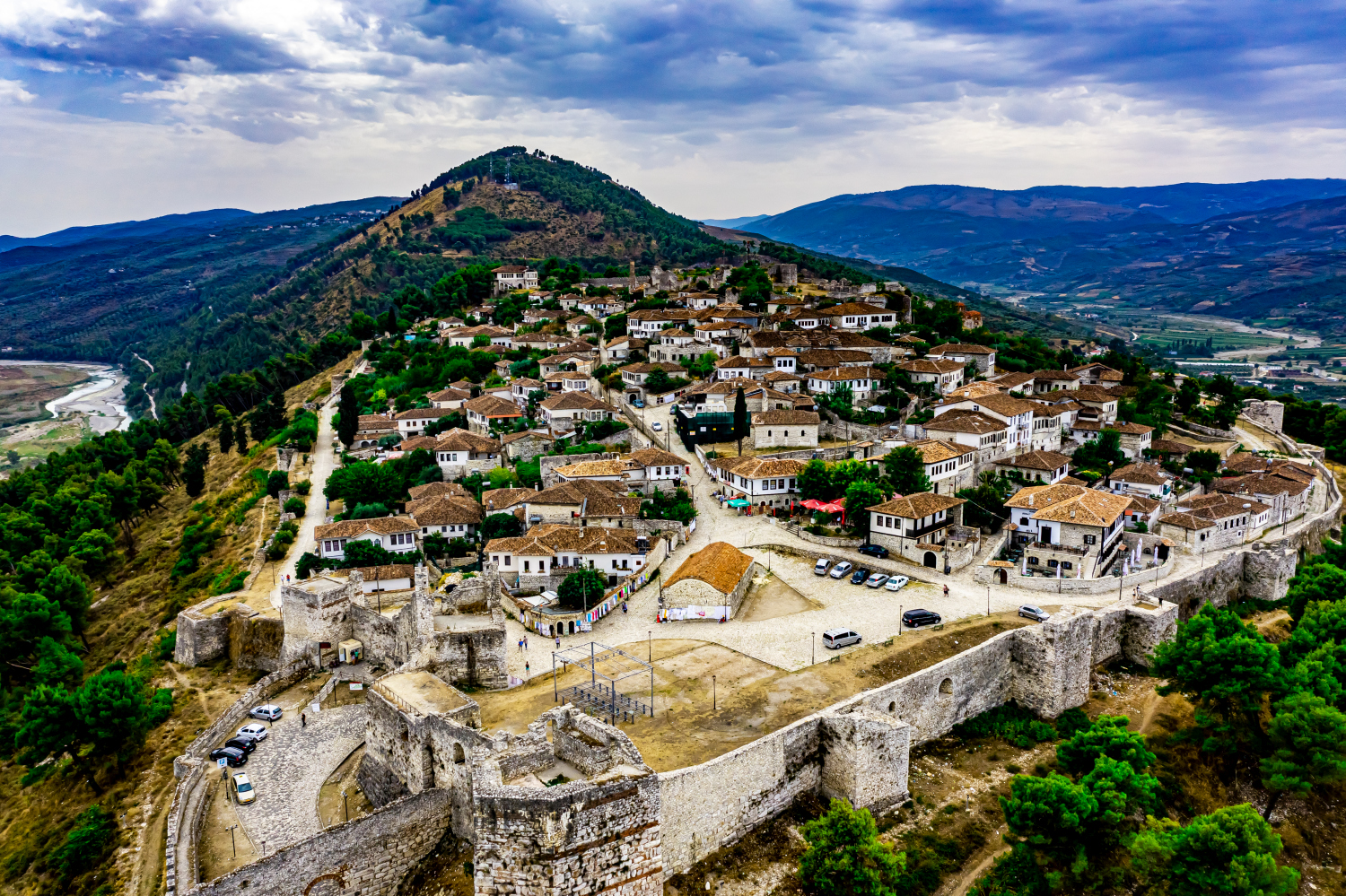
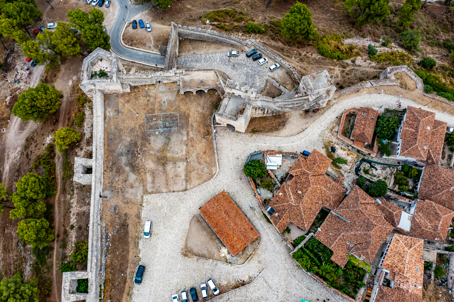
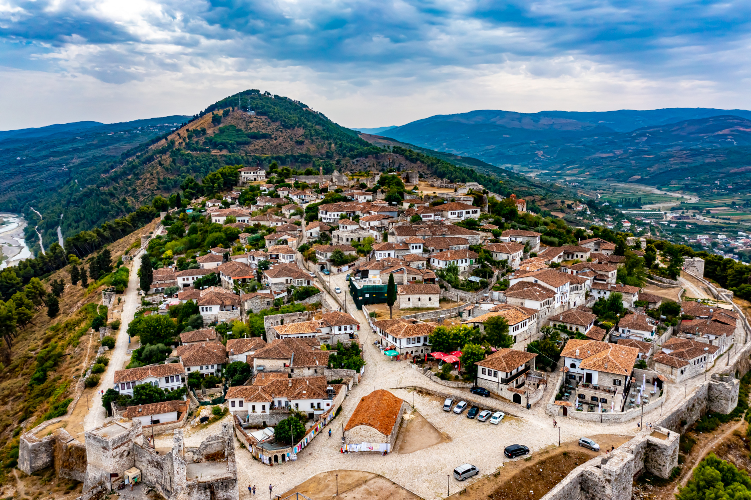
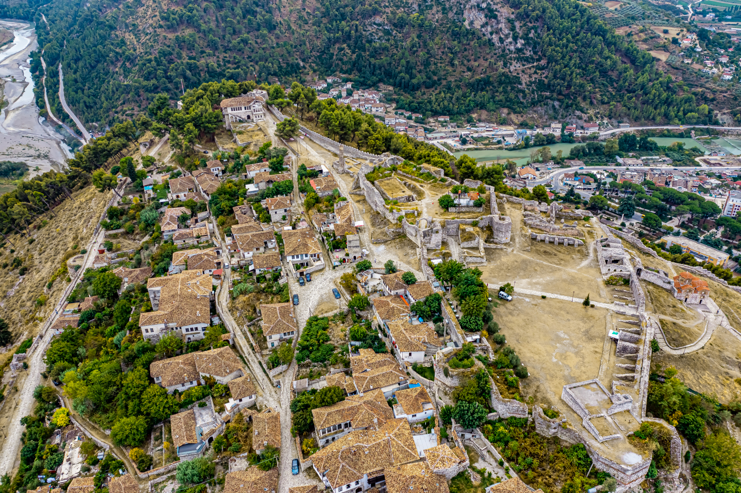
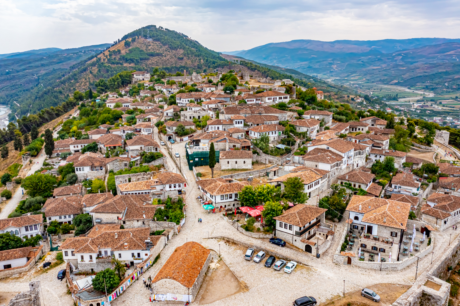
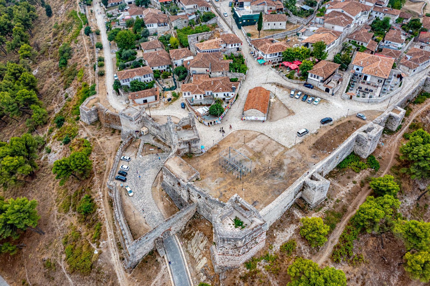
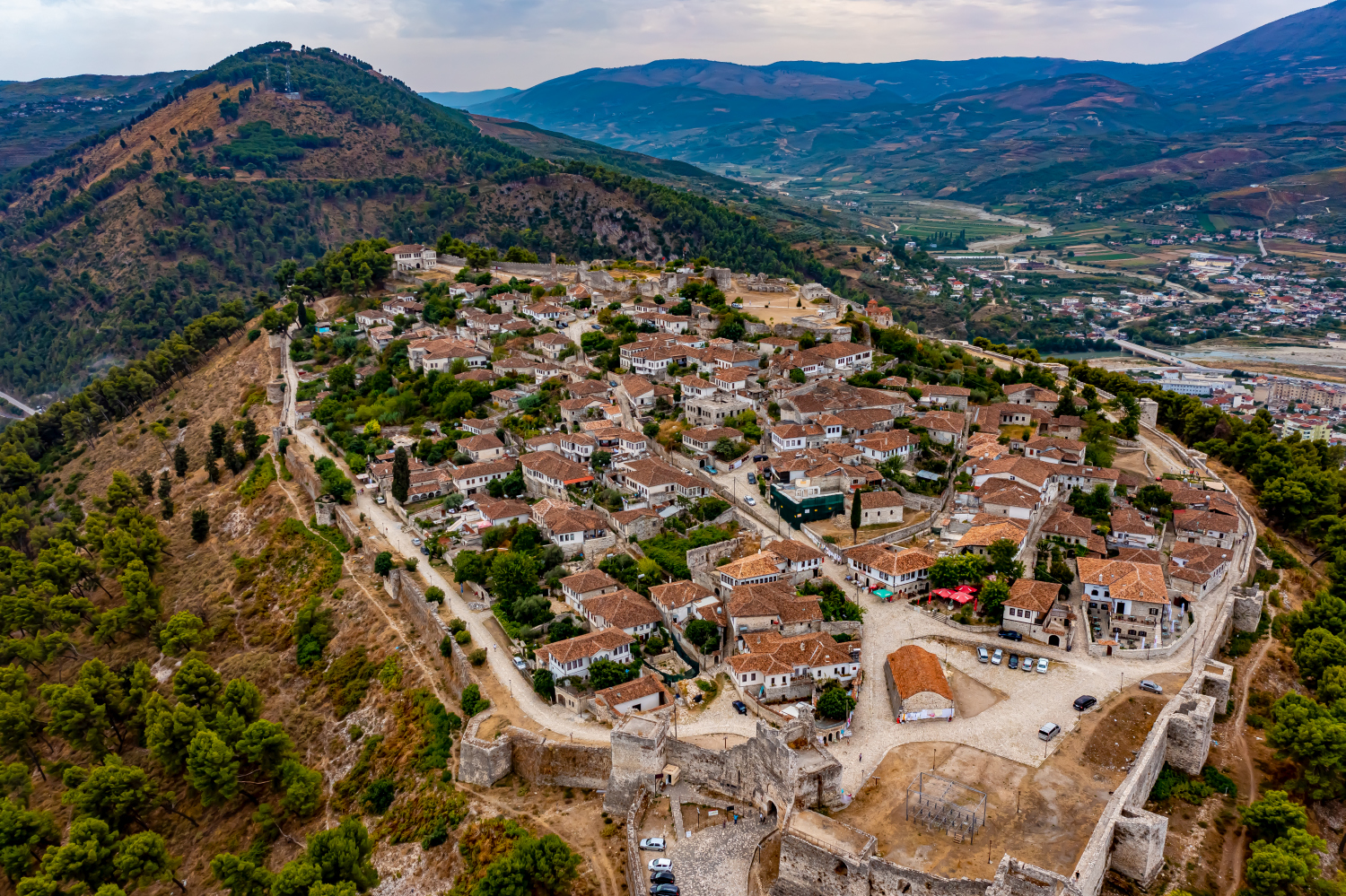
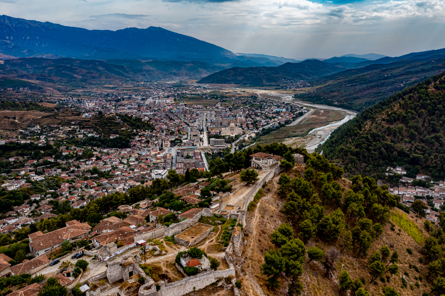
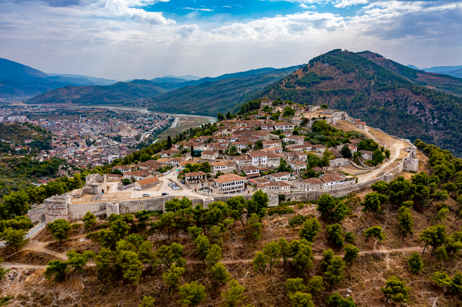
Above Berat, the red roofs and the rocky castle hill set two different standards. The fortification includes its own built-up area. From a wider view, its relationship to the city below can be traced, while narrower images show individual streets within the walls.
Reading the city and castle hill together
In Berat, the castle hill has its own roof landscape. A wide-ranging photo shows how this stands out from the lower-lying districts and yet belongs to the same city.
The system can be told from two distances. The overview first clarifies how much space the building takes up on its hill or on the bank. The view then turns to a characteristic corner, the transition between two wings or the opening to a courtyard. This order is clear for an editorial article because readers can find the detailed section on the overview image. This is particularly helpful when multiple towers or wall edges obscure each other in a single view.
What the roofs reveal about the floor plan
If you look at it at an angle, the houses not only show their roofs, but also their facades of different widths. This gives the motif more depth than in the pure top view. Even the change from a low neighboring building to a taller building reveals something about the gradation of the place. Such a view is particularly useful for a local chronicle if the caption indicates the starting point of the view. Readers can then follow the rows of houses themselves to the edge of the picture.
Recognize the shape of the valley area
The location in a valley is made clear in the aerial photo by the lateral boundaries. A nearby slope pushes forward in front of a distant one, and the valley floor opens up in between. If the section is too narrow, it can easily give the impression of a flat surface. A shot with a bit of a slope at the edge of the image preserves the context. Orientation is particularly successful when there is also a familiar size comparison, such as a street or a house. The eye can then better assess the depth between the individual landscape levels.
The distribution of blue tones
If you browse through the 17 aerial photos, you can stay at shot 9 and shot 7 for a comparison. In the first excerpt, shades of blue play a smaller role. In the second shot, blue areas take up more space. Blue can extend over a large contiguous area or only appear in individual parts. What also counts for the effect is whether these areas extend to the edge of the picture or surround the main subject.
For Shot 17 and Shot 9, the same day is noted in the image files, September 17, 2021. The recording times recorded are about 6 minutes apart. The exposure time was 1/320 second for the first of the images mentioned and 1/240 second for the second.
For a selection of moving images, the gallery contains 2 linked clips. Below is “Berat Castle in Albania from the air”. Under Aerial Videos the preview leads to the aerial photographer's respective offer at Adobe Stock.
Communicate architecture and location together
Anyone who has visited a building themselves often remembers the entrance and the first view upwards. In the aerial photograph, these exact areas can disappear behind a roof or a wall. A suitable caption helps to connect the tour experienced with the spatial overview. For an aerial photographer, planned use is therefore a good starting point. A view for a site plan needs clear outer edges. An image for the cover page may focus more on the interaction between the building and its surroundings.
Related motifs in the aerial photo archive
If you are looking for related motifs, you can start with Shkodra. At Shkodra, fortified heights lie above an open plain crossed by watercourses. It's worth taking a second look at Ali Pasha Fortress. The dark surface of water traces the contour of the Ali Pasha Fortress in Albania.
Berat & Berat Castle – Albania
Your aerial photographer across Europe
Request a free quote