 F4LUFTBILDER
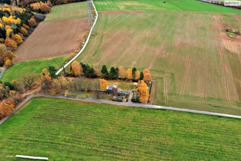
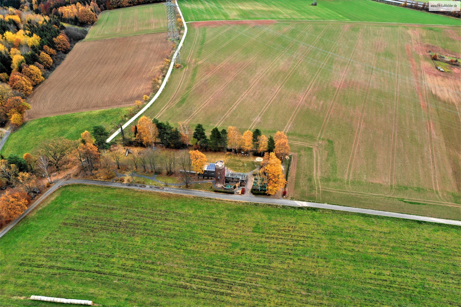
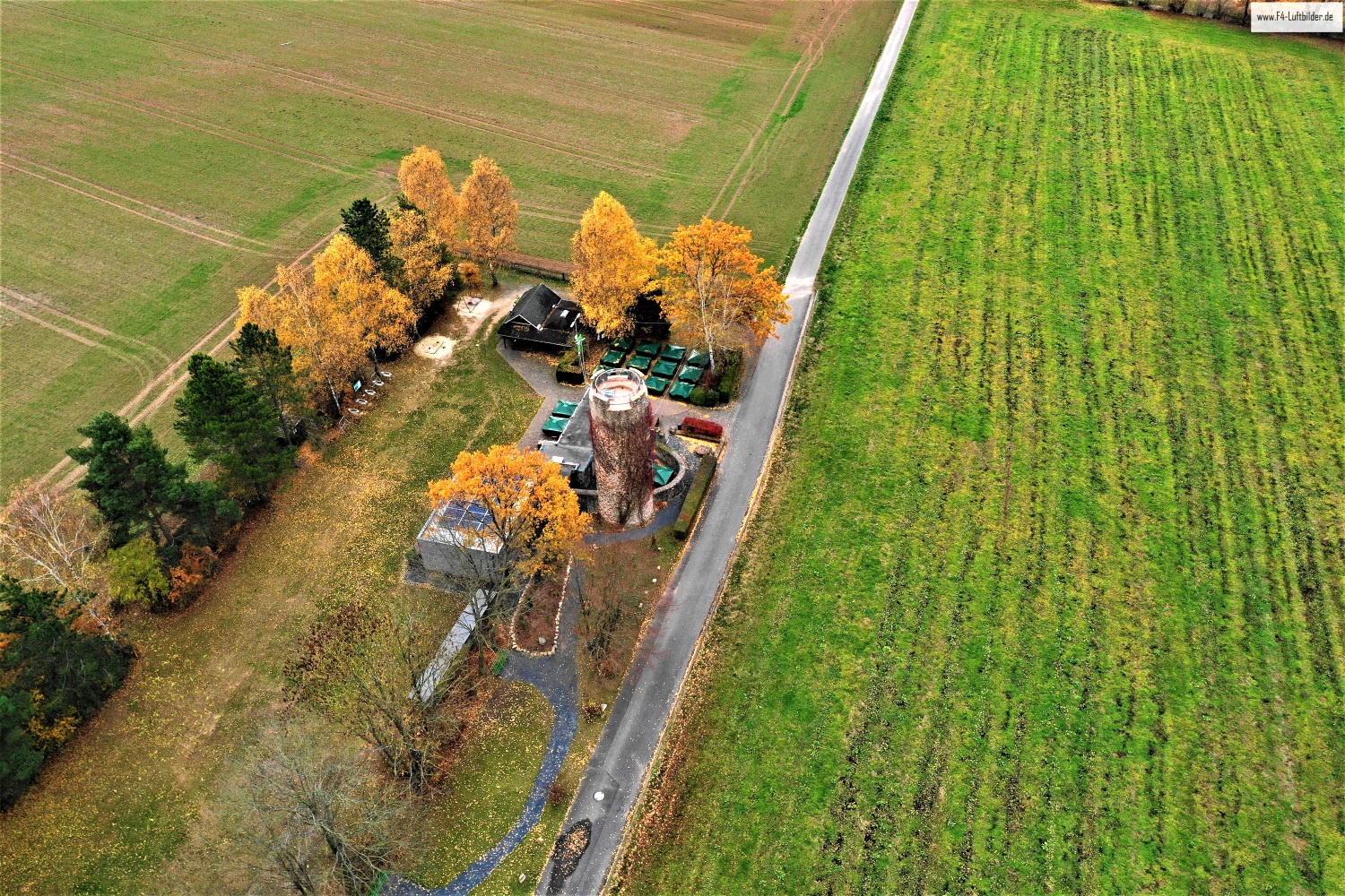
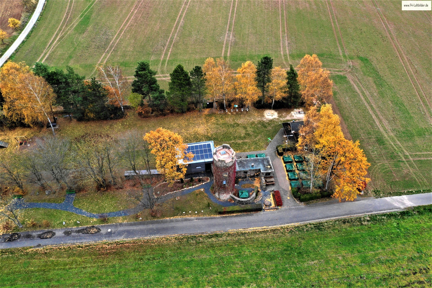
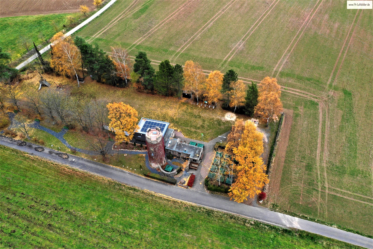
The Eichenzeller Warte on the field path
The Eichenzeller Warte is located between fields on a narrow connection surrounded by trees. In the wide picture you can initially overlook the tower. Anyone who follows the path will find it and at the same time understand which piece of terrain surrounds the small building.
The waiting room in their surroundings
At the Eichenzeller Warte the path leads almost automatically to the motif. If you leave the crossroads in the section, the position of the tower can be explained without an arrow.
Up close, a tower draws the eye upwards. In the aerial photograph this movement is reversed. From the top, the eye follows the sides down to the ground and finds paths, neighboring buildings or vegetation for size comparison. A steep perspective shortens the visible shaft. When viewed from the side, it stands out from its surroundings. When selecting a representative image, it is therefore crucial whether the shape of the tower or its location in the terrain should be shown.
Field boundaries as a benchmark
From a greater height, the field appears to be an orderly floor plan. A closer look shows how the paths change direction at curves, embankments and property boundaries. When selecting images, it is helpful to preserve at least one of these transition points. It turns a colored area into a piece of actually used landscape. For an article about the surrounding area, even the inconspicuous edge of a field can explain more than a wide section that only shows numerous plots as small spots.
Order along a line
To find your way around an unfamiliar townscape, you can follow a continuous line until there is a noticeable change in direction. It is often only on this path that small junctions or free spaces become apparent. The image section determines how much of this order remains visible. If the beginning of the line remains in the foreground and its destination remains in the back part of the image, a photograph has a clear reading direction even without drawn arrows. It's particularly worth looking at in a portrait format.
Shades of green in the image
If you browse through the 4 aerial photos, you can stay at shot 4 and shot 2 for a comparison. In the first image, green areas make up a smaller part of the section than in the second. It's worth tracking the green areas individually. Only in connection with neighboring forms does it become clear what is in the foreground and what belongs to the more distant surroundings.
For Shot 3 and Shot 1 the same day is noted in the image files, November 12, 2018. The recording times recorded are less than a minute apart. ISO 100 and an exposure time of 1/120 second are recorded for both files.
Communicate architecture and location together
Anyone who has visited a building themselves often remembers the entrance and the first view upwards. In the aerial photograph, these exact areas can disappear behind a roof or a wall. A suitable caption helps to connect the tour experienced with the spatial overview. For an aerial photographer, planned use is therefore a good starting point. A view for a site plan needs clear outer edges. An image for the cover page may focus more on the interaction between the building and its surroundings.
Related motifs in the aerial photo archive
If you are looking for related motifs, you can start with Galgenturm (Mellrichstadt). In the open corridor near Mellrichstadt, the gallows tower initially appears like a bright point. It's worth taking a second look at Ebersburg Castle Ruins. From a distance, the Ebersburg is almost hidden in the autumn forest.