 F4LUFTBILDER
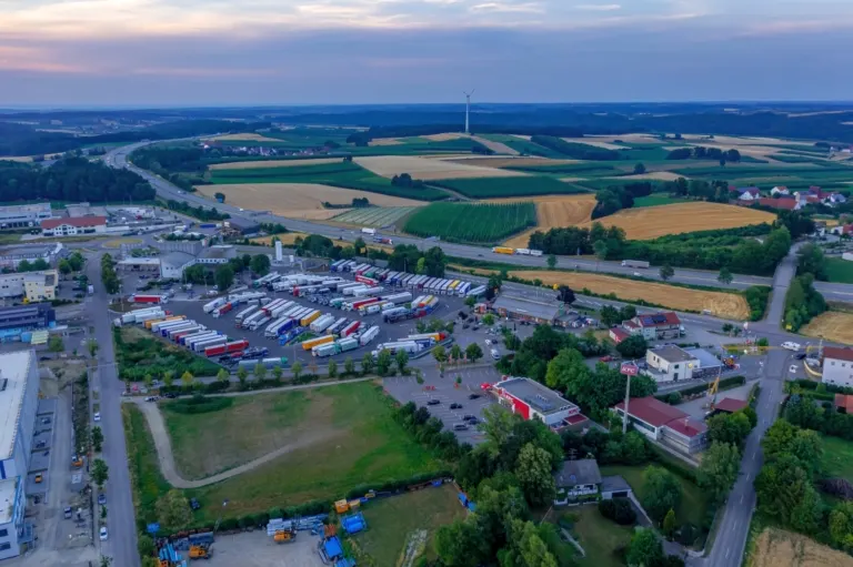
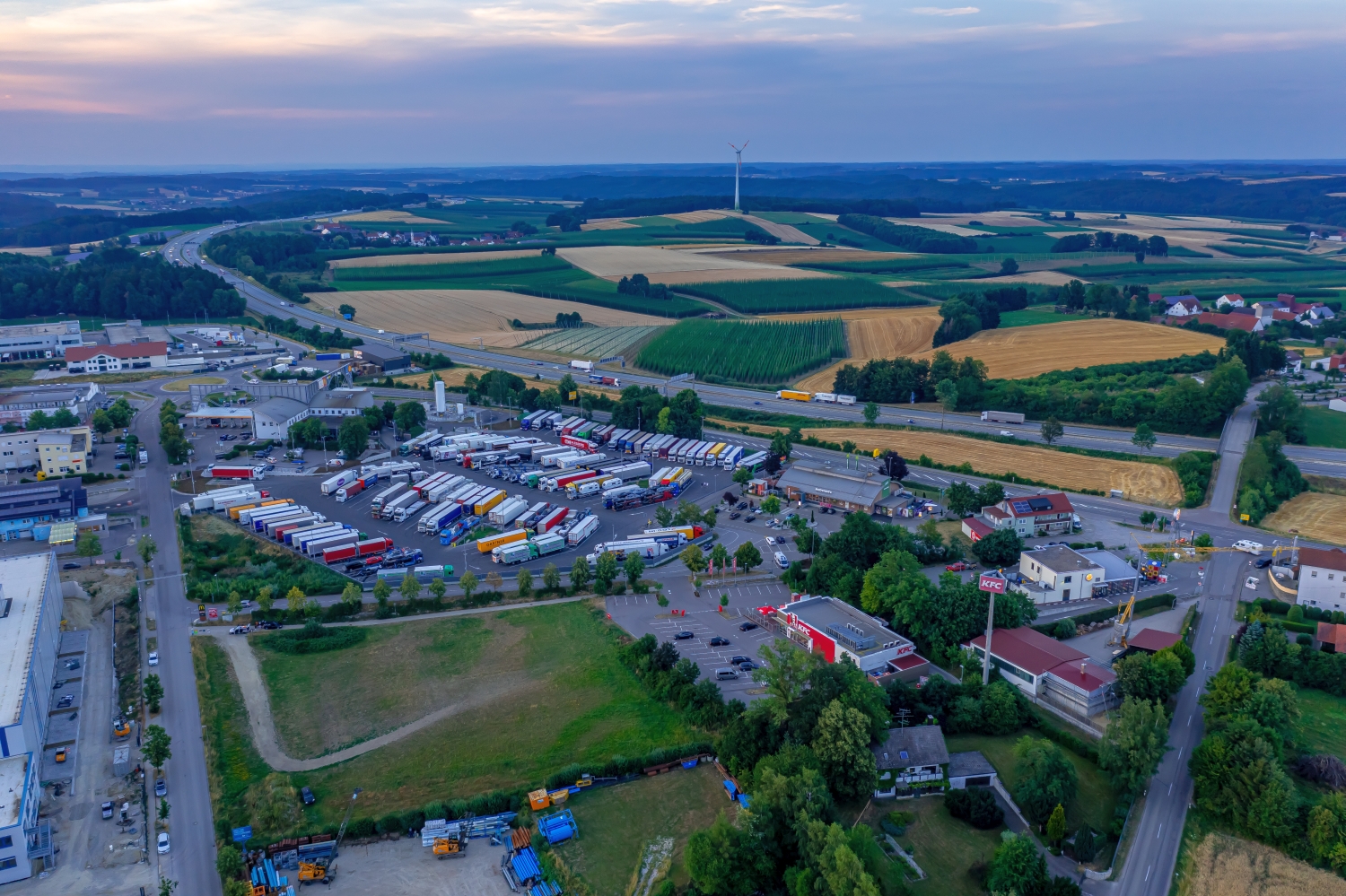
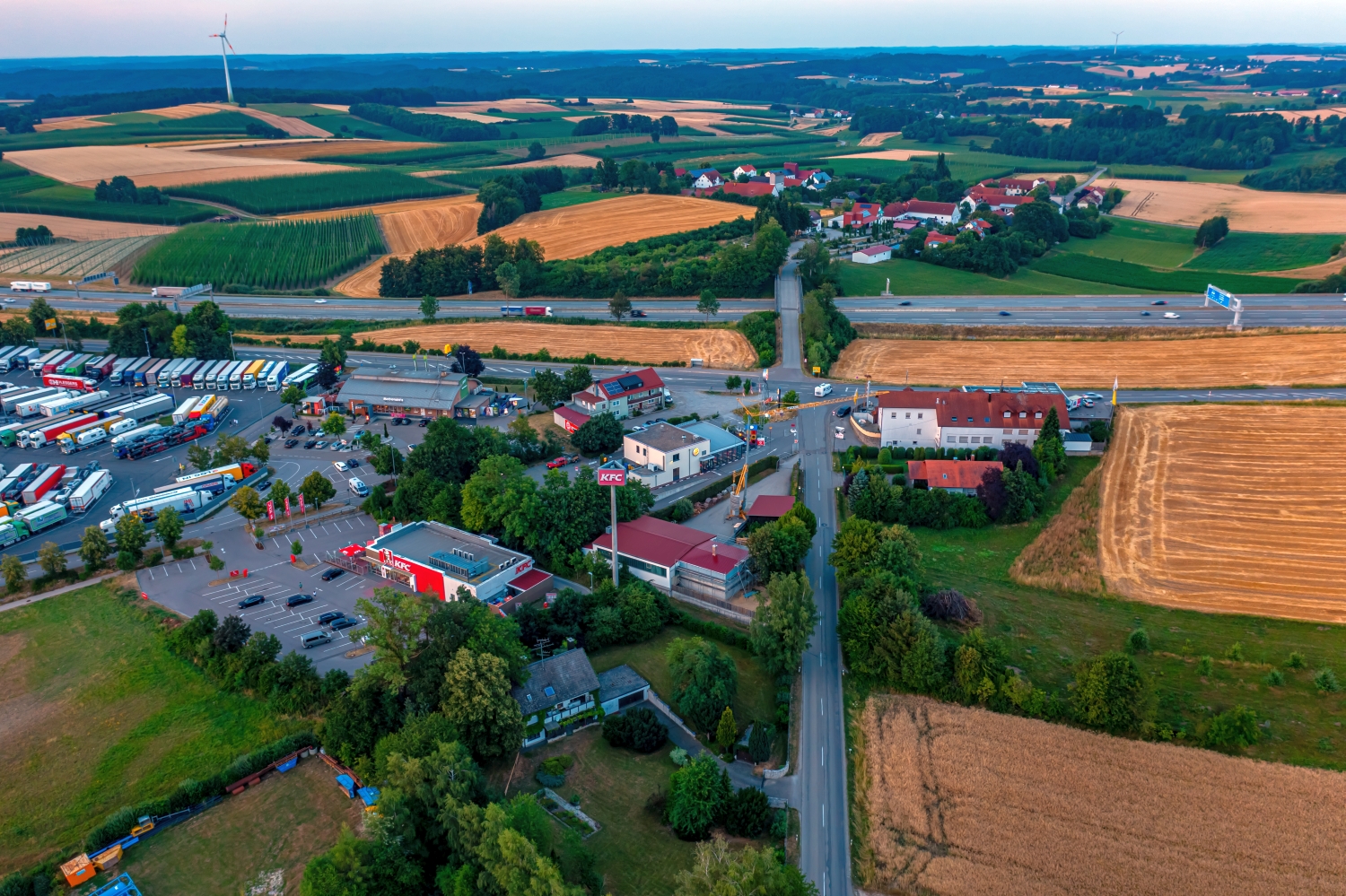
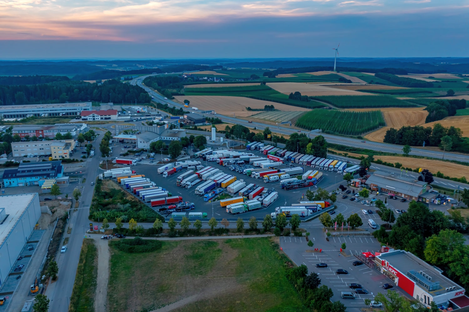
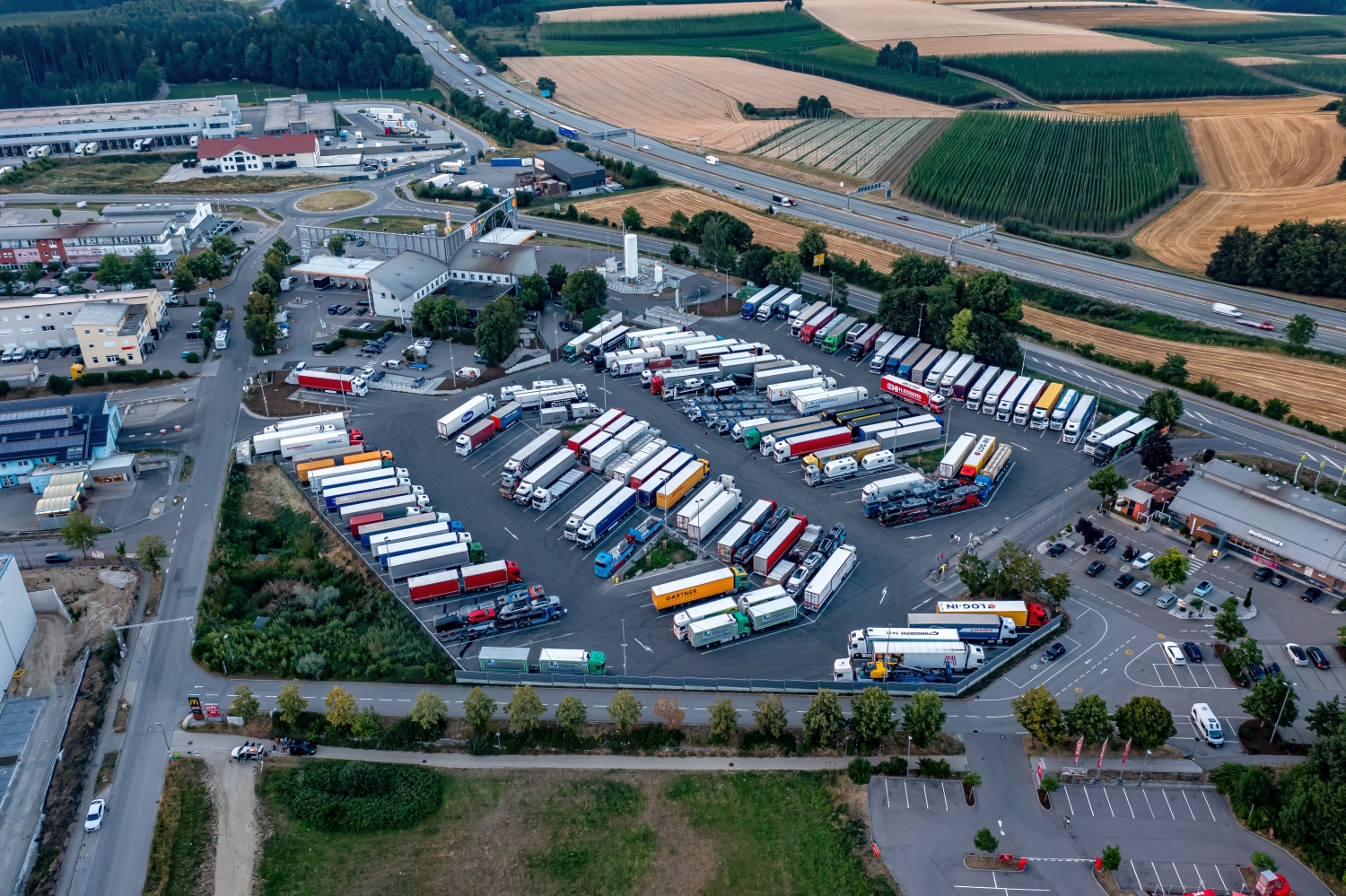
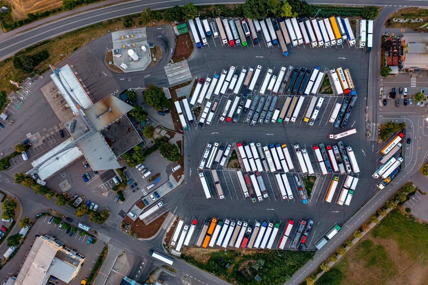
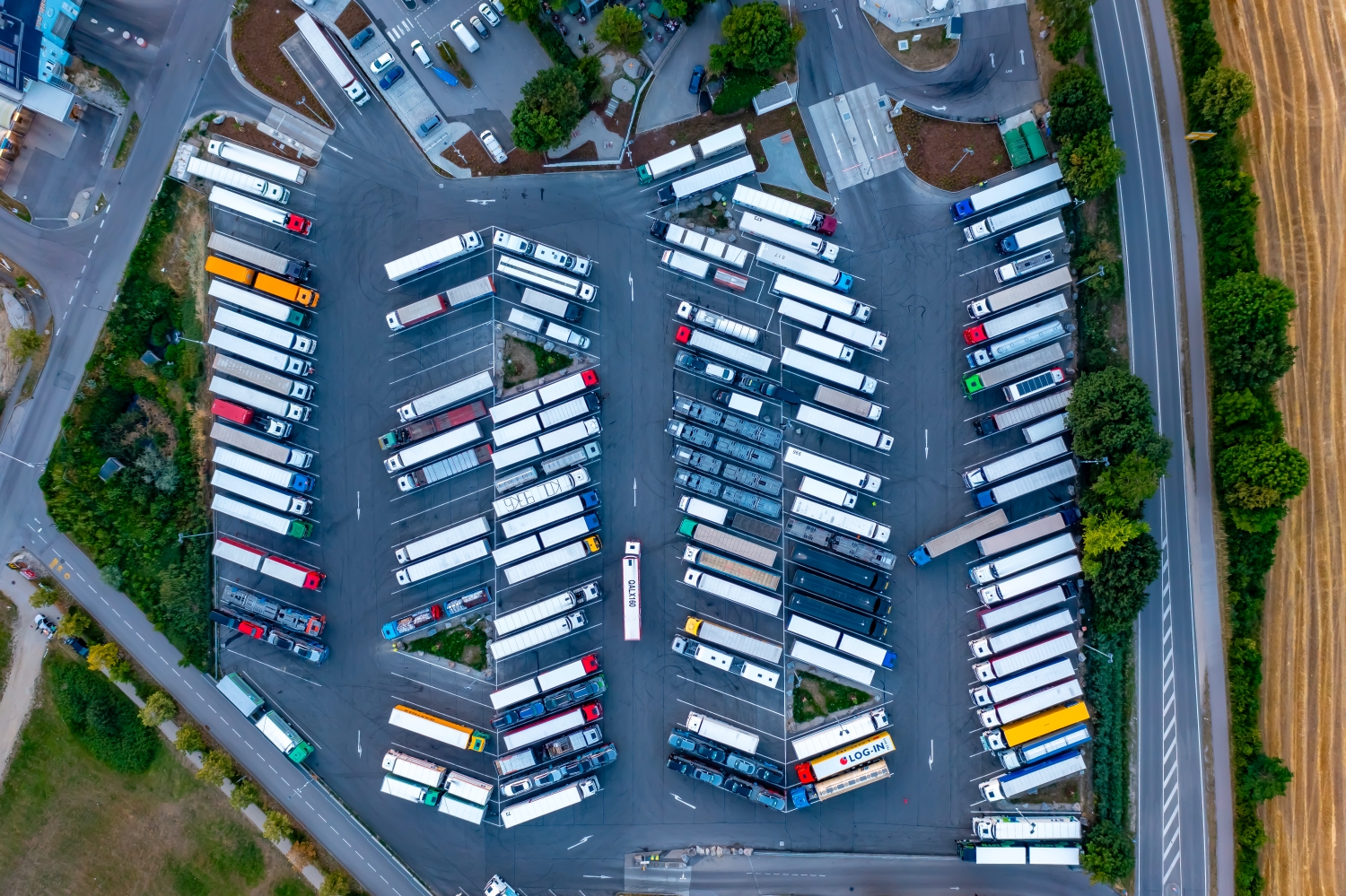
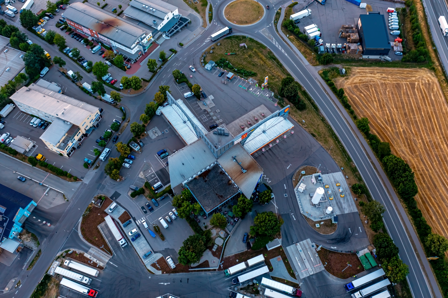
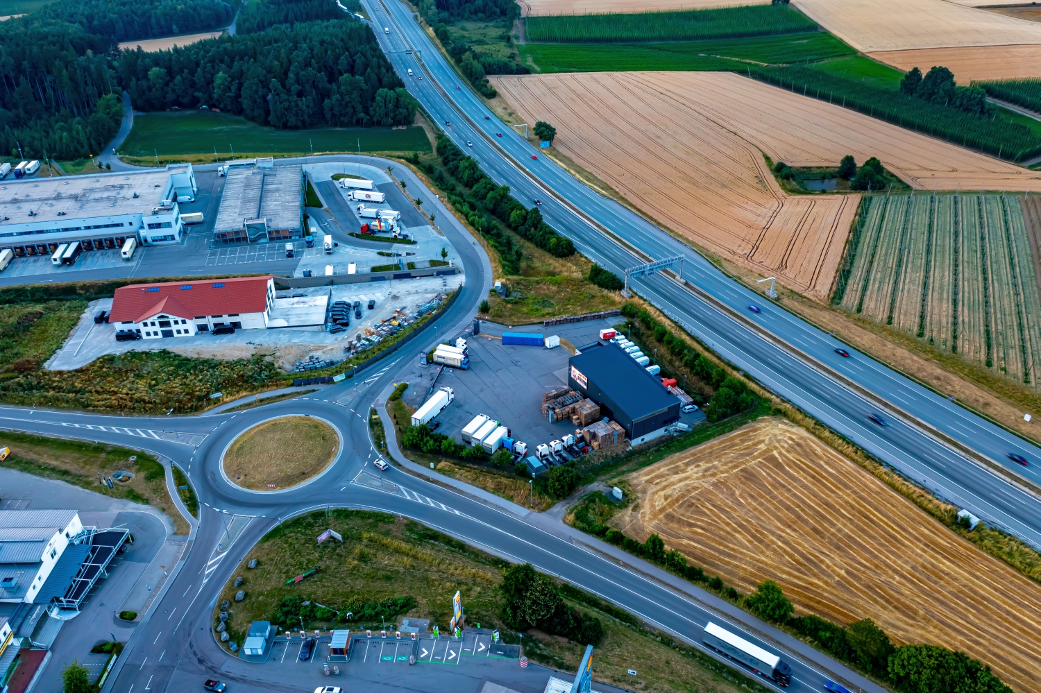
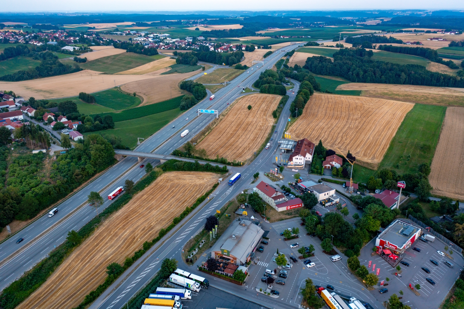
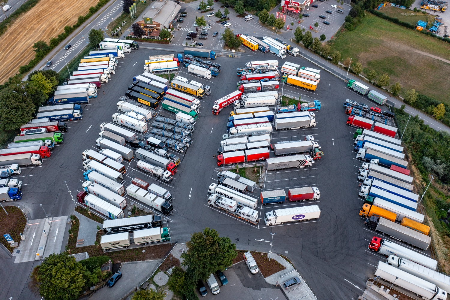
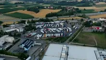
Traffic areas at the Schweitenkirchen Rastpark
Parked trucks at the Euro Rastpark Pfaffenhofen-Schweitenkirchen are a good benchmark. They stand like short lines at the edges of large paved areas. Access roads connect the rest park with the traffic route, while arable land begins directly next to the company buildings.
The rest park from the driver's perspective and from above
At the Schweitenkirchen rest park, a row of parked trucks tells us something about the recording itself. It says less about the permanent capacity of the rest park. For an idea of the location, the paved areas and their connections to the street are therefore the more reliable image features.
A traffic route gives direction to an aerial view. From above you can see where the route is, where it adapts to the terrain and where another path crosses it. An easily recognizable crossing is particularly useful for an illustration. It arranges the section in the larger network and brings together different proportions. A second look along the route can then show how the line from the first image continues into the adjacent landscape.
The area between the vehicles
The first thing you notice on a traffic facility are the vehicles. However, the free areas are particularly interesting for their spatial organization. They give distance to the bays and show the route of the entrances. An oblique overview can show both if the view starts at the edge of the site and leads into the area. Statements about traffic volumes require further observations. The individual photo first documents the visible occupancy and the external arrangement at the time it was taken.
Large roofs and their access
A commercial area can be read from the air by its size. There are shunting areas, driveways and smaller outbuildings between extensive roof areas. The transition to the surrounding town is therefore often very clear. However, the function of an individual business can hardly be determined from the shape of the roof alone. A factual caption can stick to what is visible and, for example, explain the location of the building on a driveway. This means the location view remains understandable even for readers who are unfamiliar with the site.
The distribution of blue tones
For a direct image comparison, use shot 2 and shot 6 from the gallery with 10 aerial photos. In the first excerpt, shades of blue play a smaller role. In the second shot, blue areas take up more space. Blue can extend over a large contiguous area or only appear in individual parts. What also counts for the effect is whether these areas extend to the edge of the picture or surround the main subject.
According to camera data, Shot 1 and Shot 10 were taken on July 11, 2023. There is a gap of around 2 minutes between the two images. The exposure time was 1/50 second for the first of the images mentioned and 1/40 second for the second.
The Aerial Videos section supplements the photos with 2 clips. The aerial photographer's photographs linked there include “Euro Rastpark Pfaffenhofen-Schweitenkirchen from the air”. The relevant video page on Adobe Stock can be opened using the respective preview.
An image for spatial documentation
In the case of a technical system, the direction of view determines which relationships can be explained. The course is clear along a traffic axis, and across it often the connection to the neighborhood. Both questions are valid for a project portrait. The aerial photographer can treat them in separate views. When publishing later, it will help to organize the selection according to these questions. Two visually different images can otherwise repeat the same information, while an entrance, a crossing or the connection to a neighboring property remains incomprehensible.
Related motifs in the aerial photo archive
The article Fellen am Rhein offers another perspective. In these photos, Fellen is located on the left bank of the Rhine near Sankt Goar. In the gallery Kirschfurt there is a different focus. Near Kirschfurt, houses, fields and traffic routes are located in a small area next to the Main.