 F4LUFTBILDER
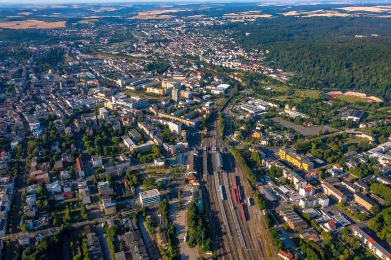
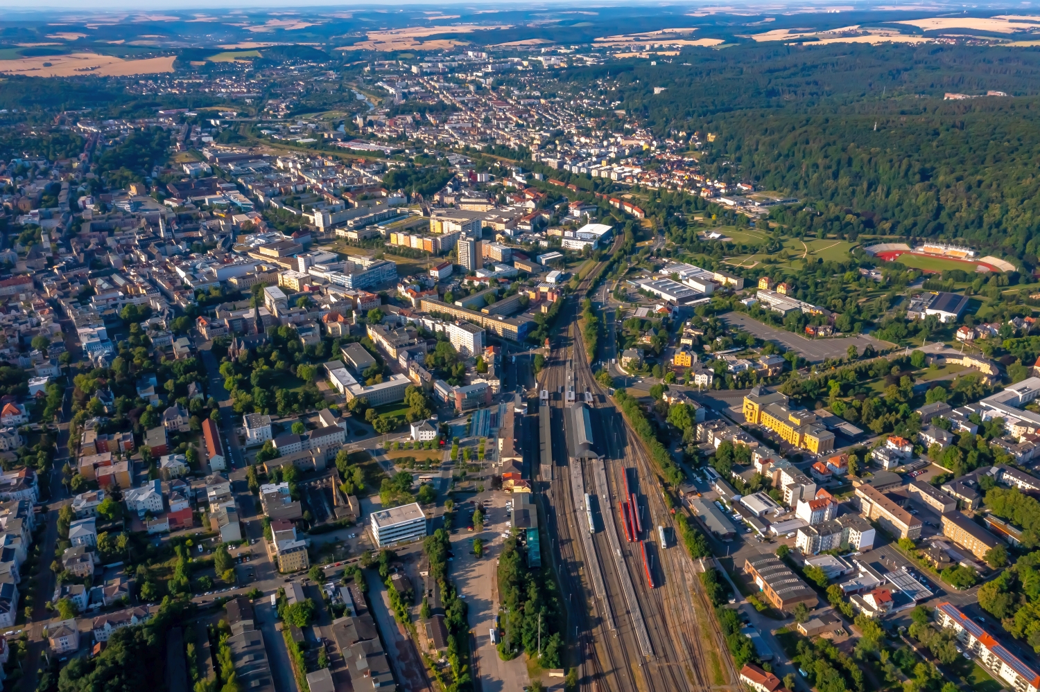
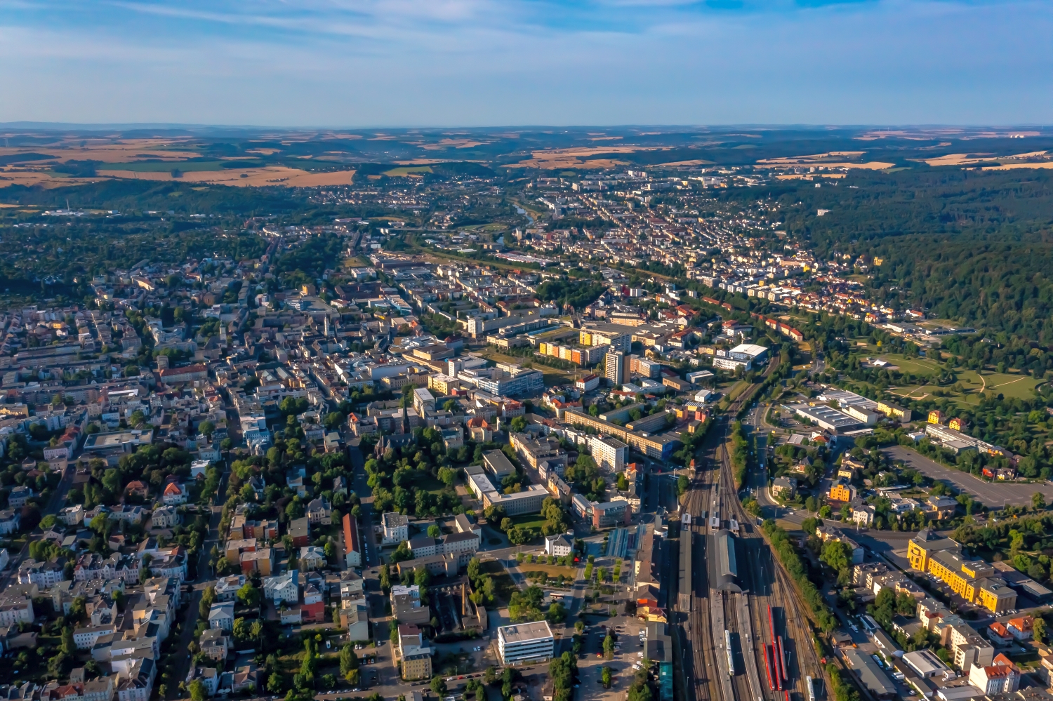
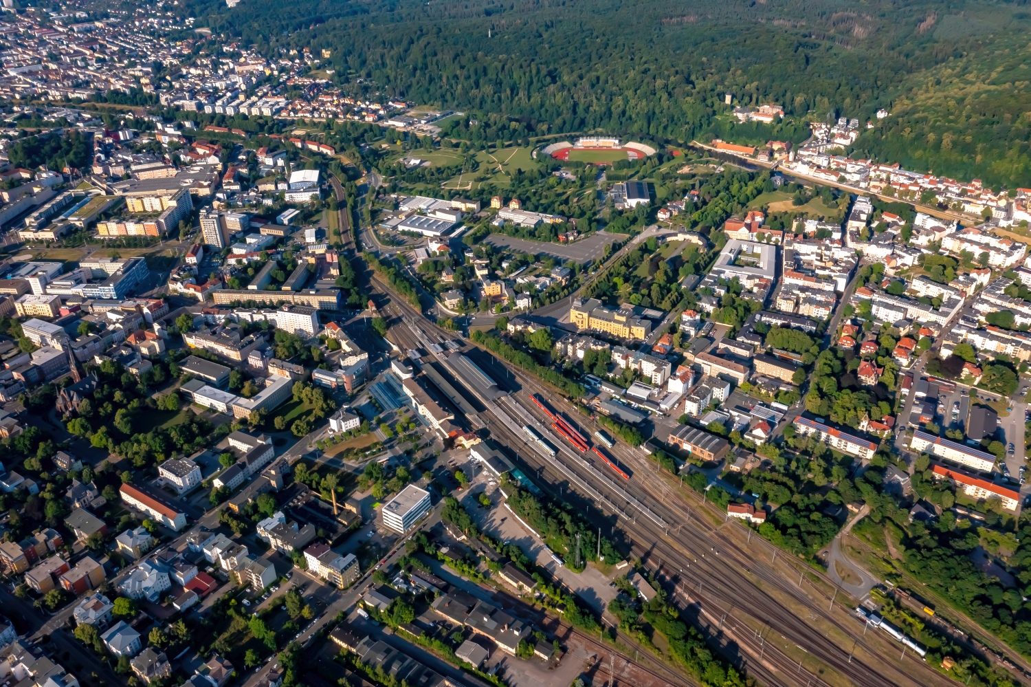
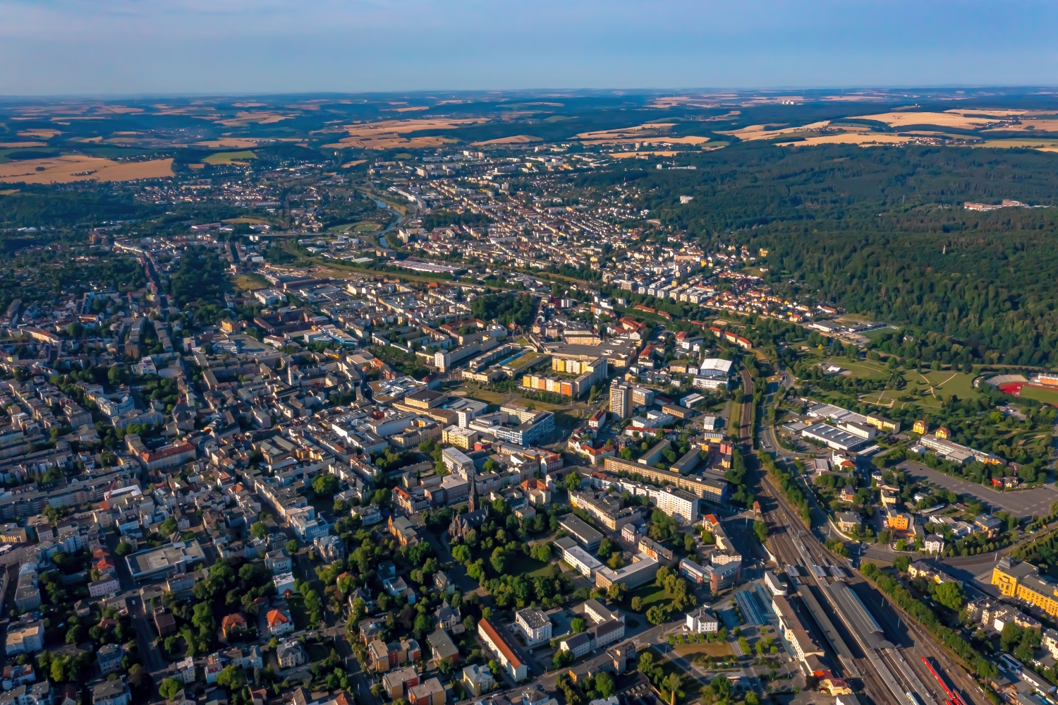
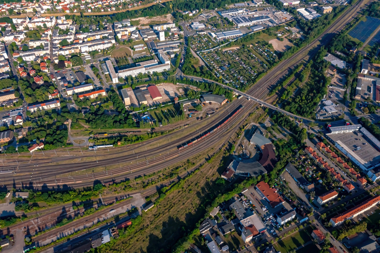
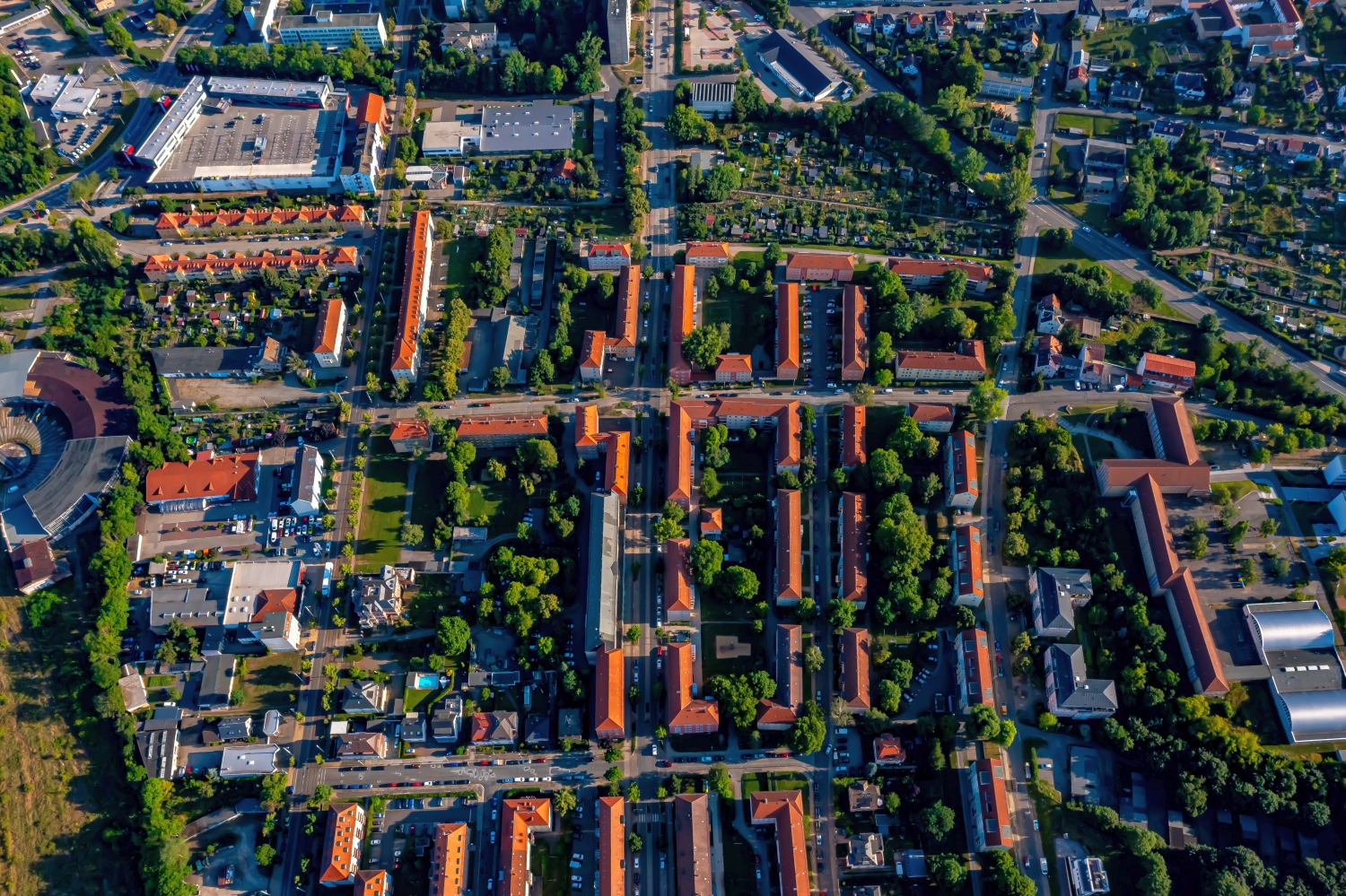
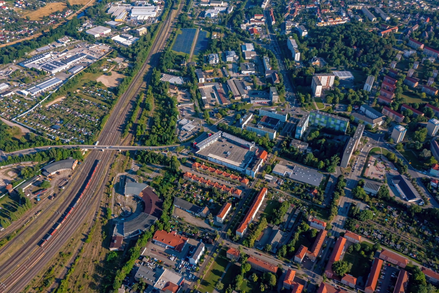
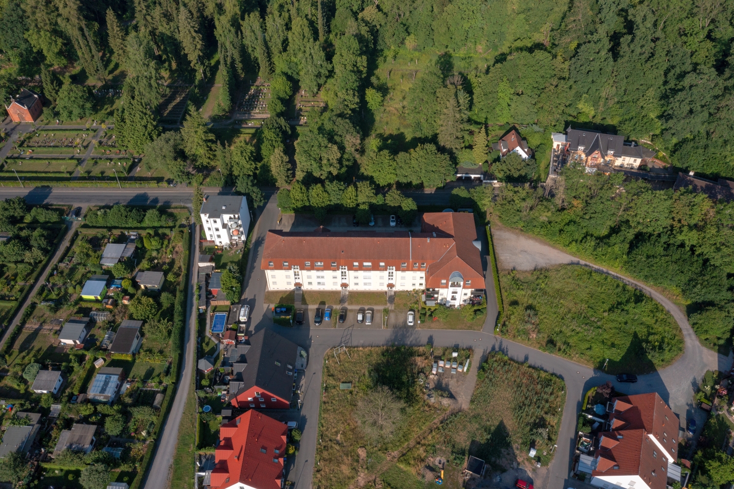
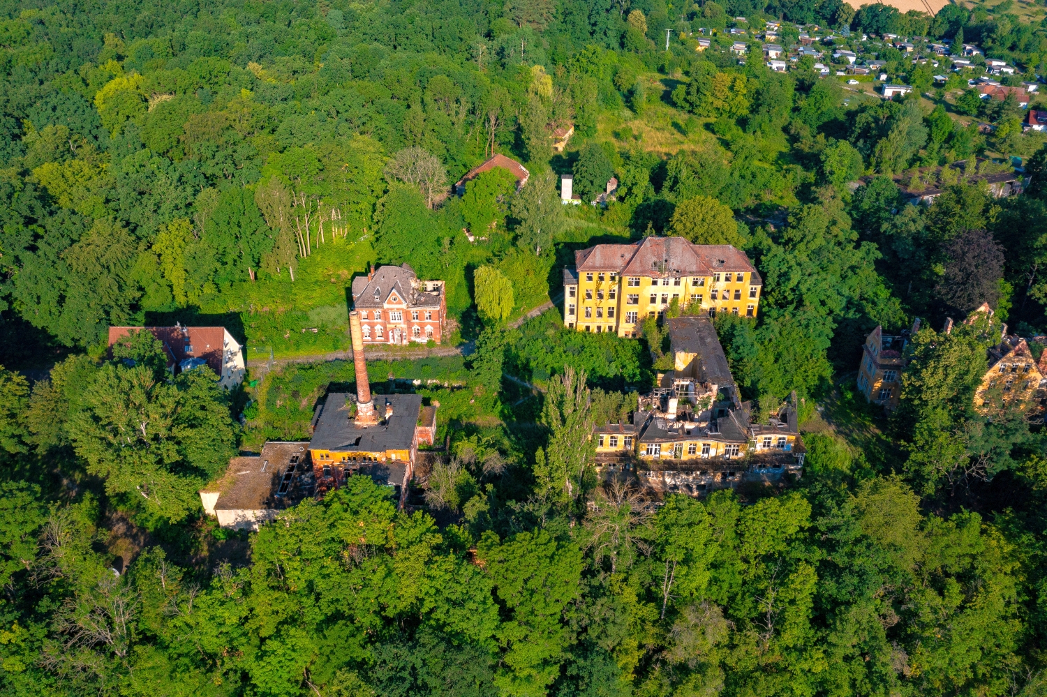

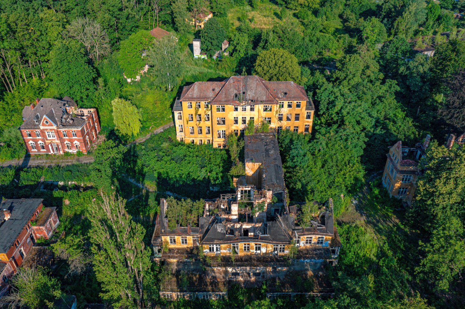
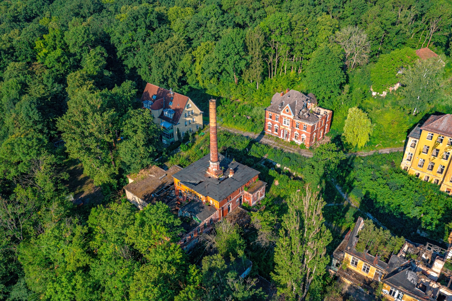
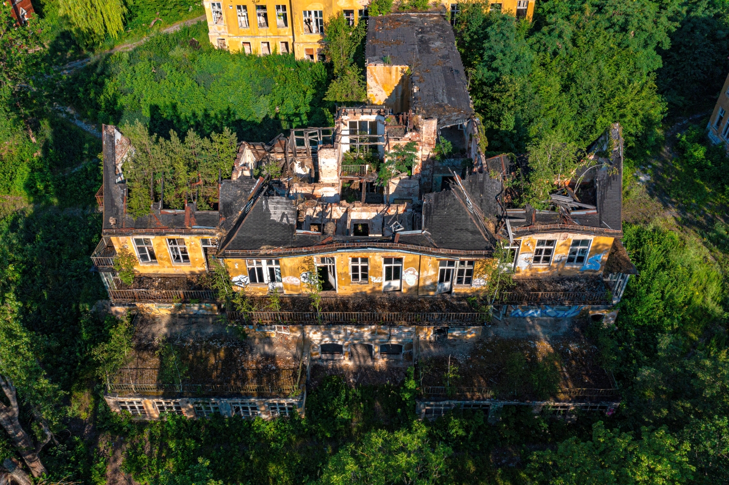
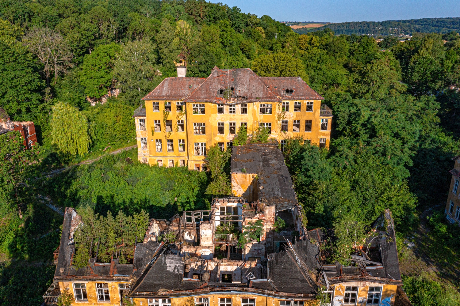
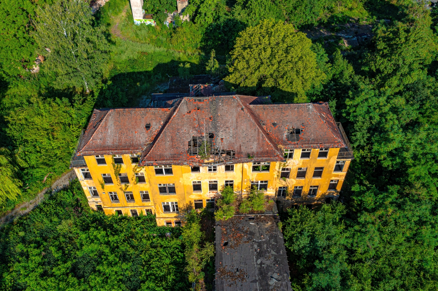
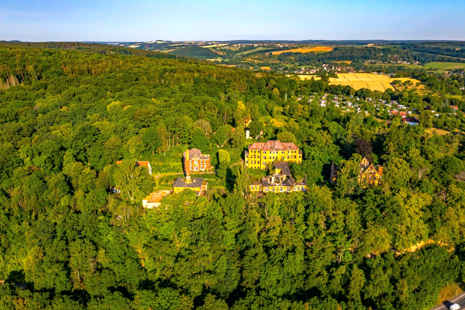
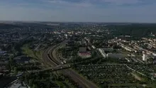
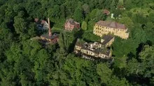

Geras valley between tracks and greenery
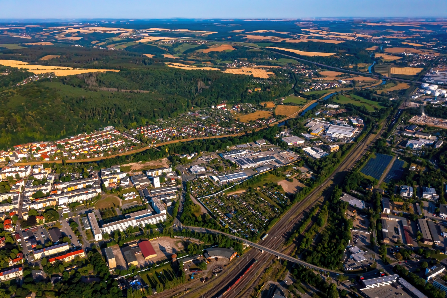
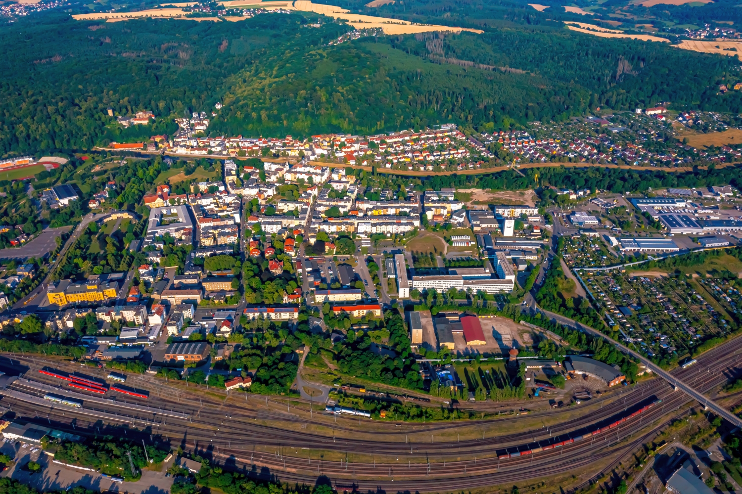
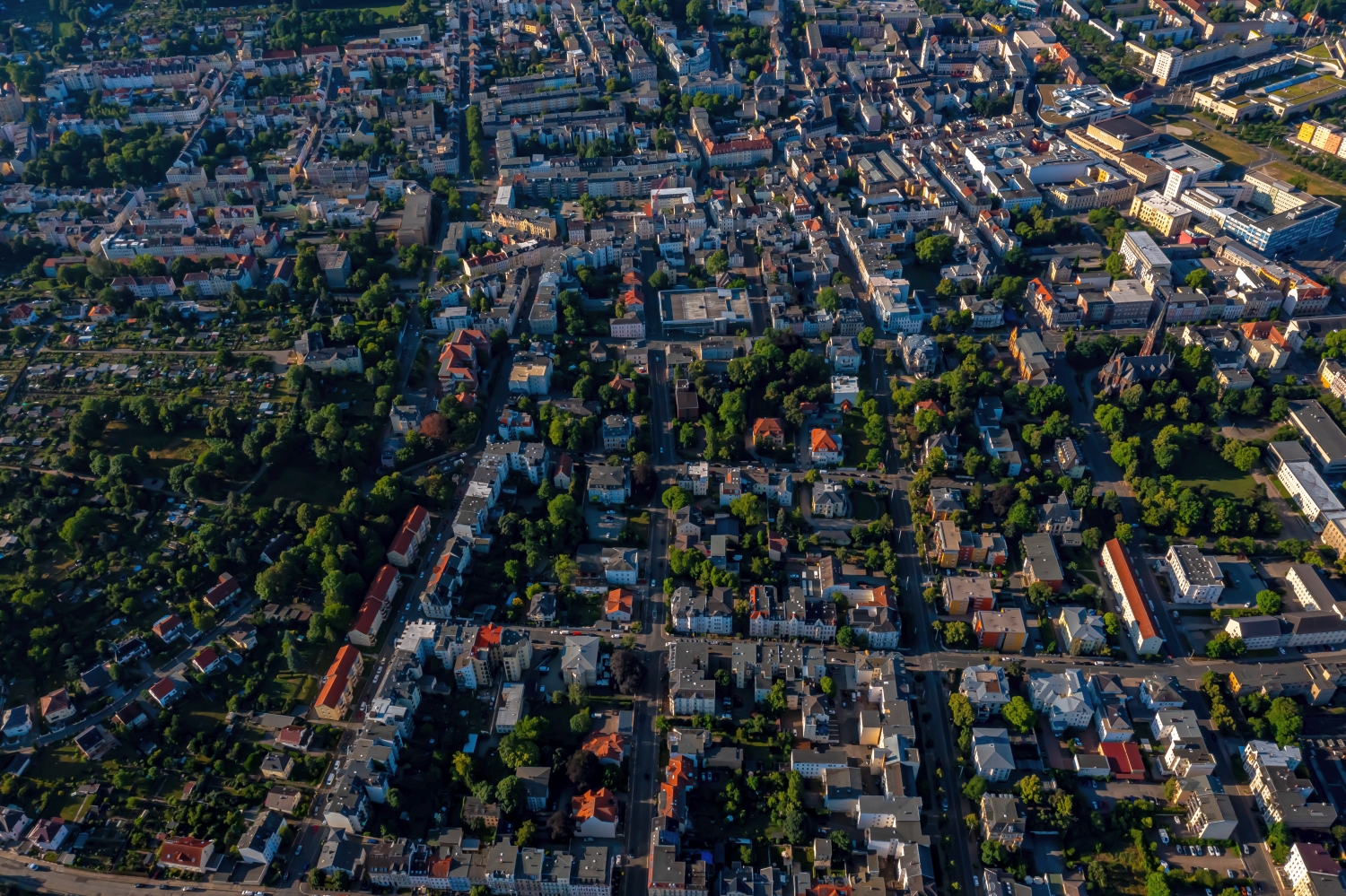
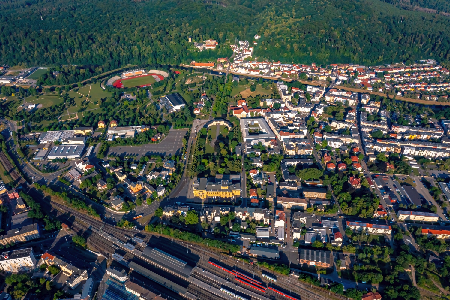
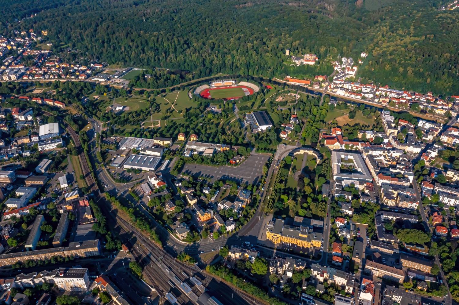
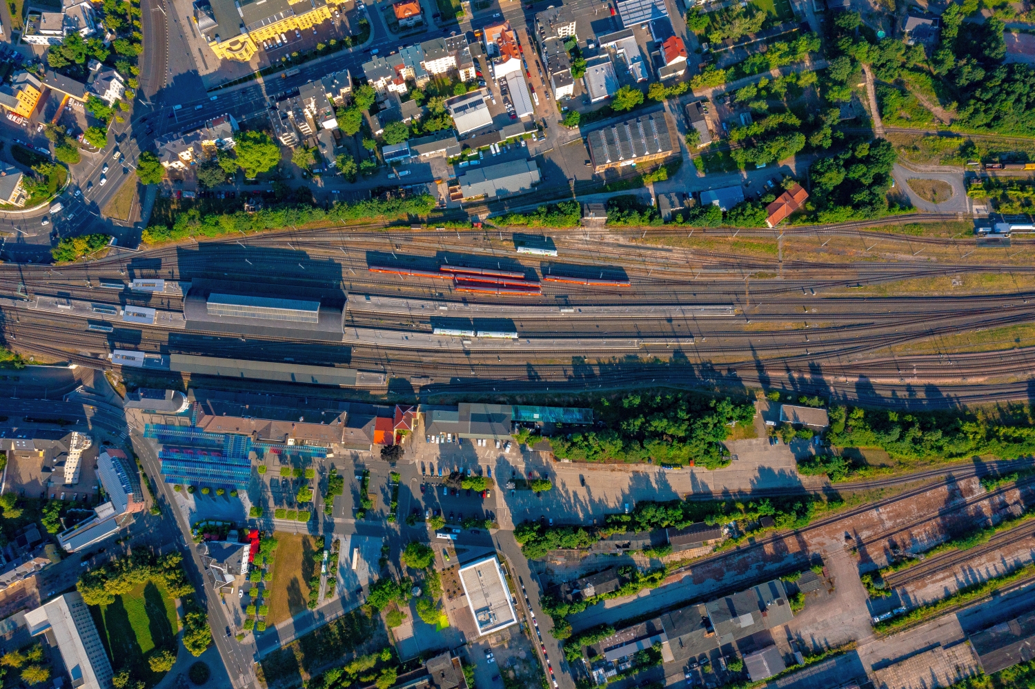
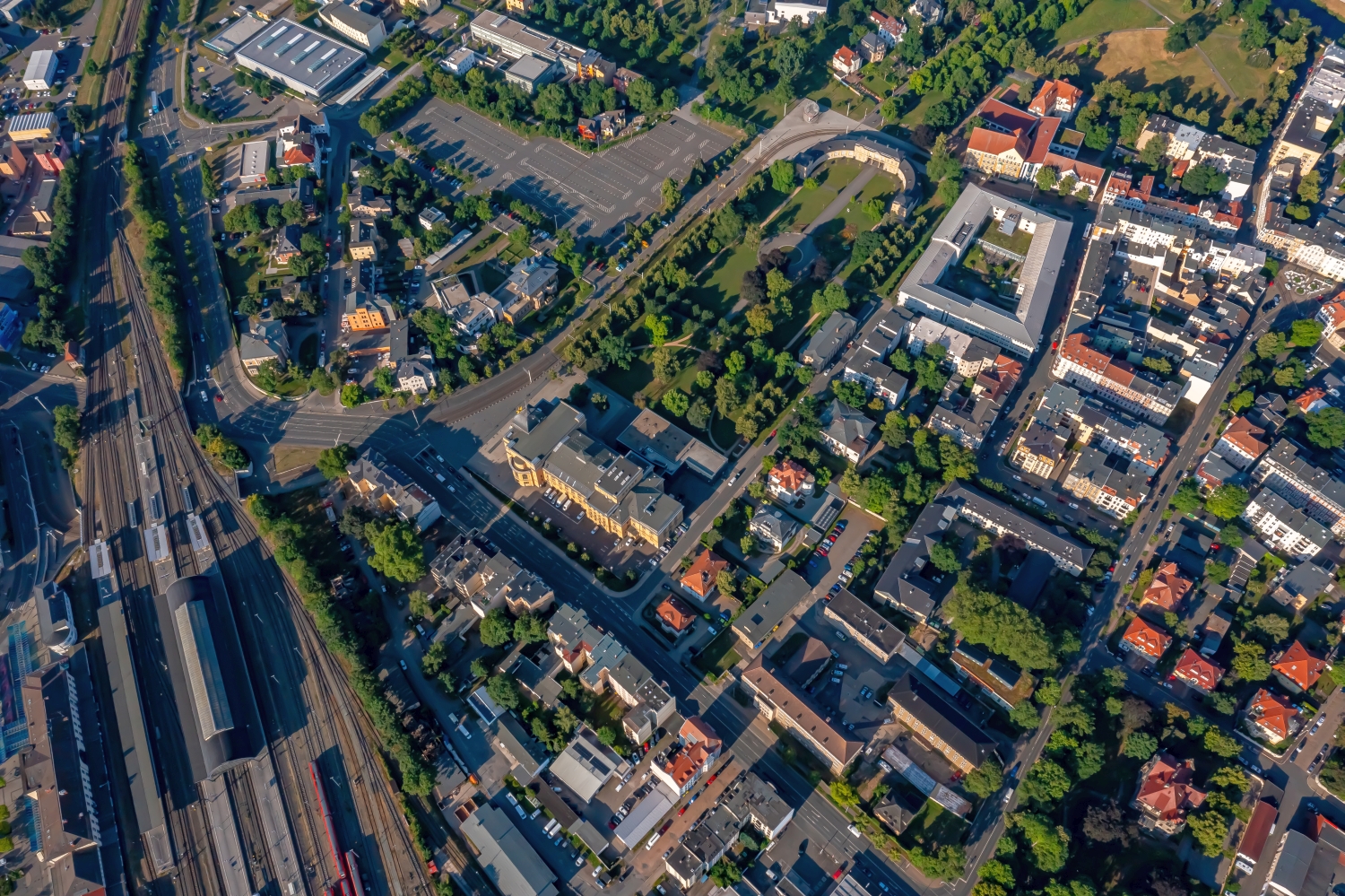
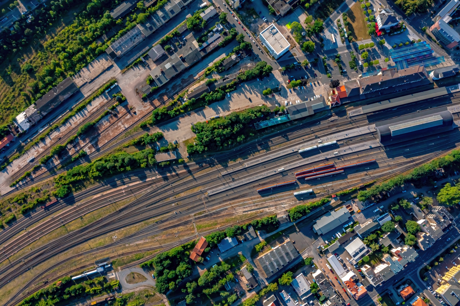
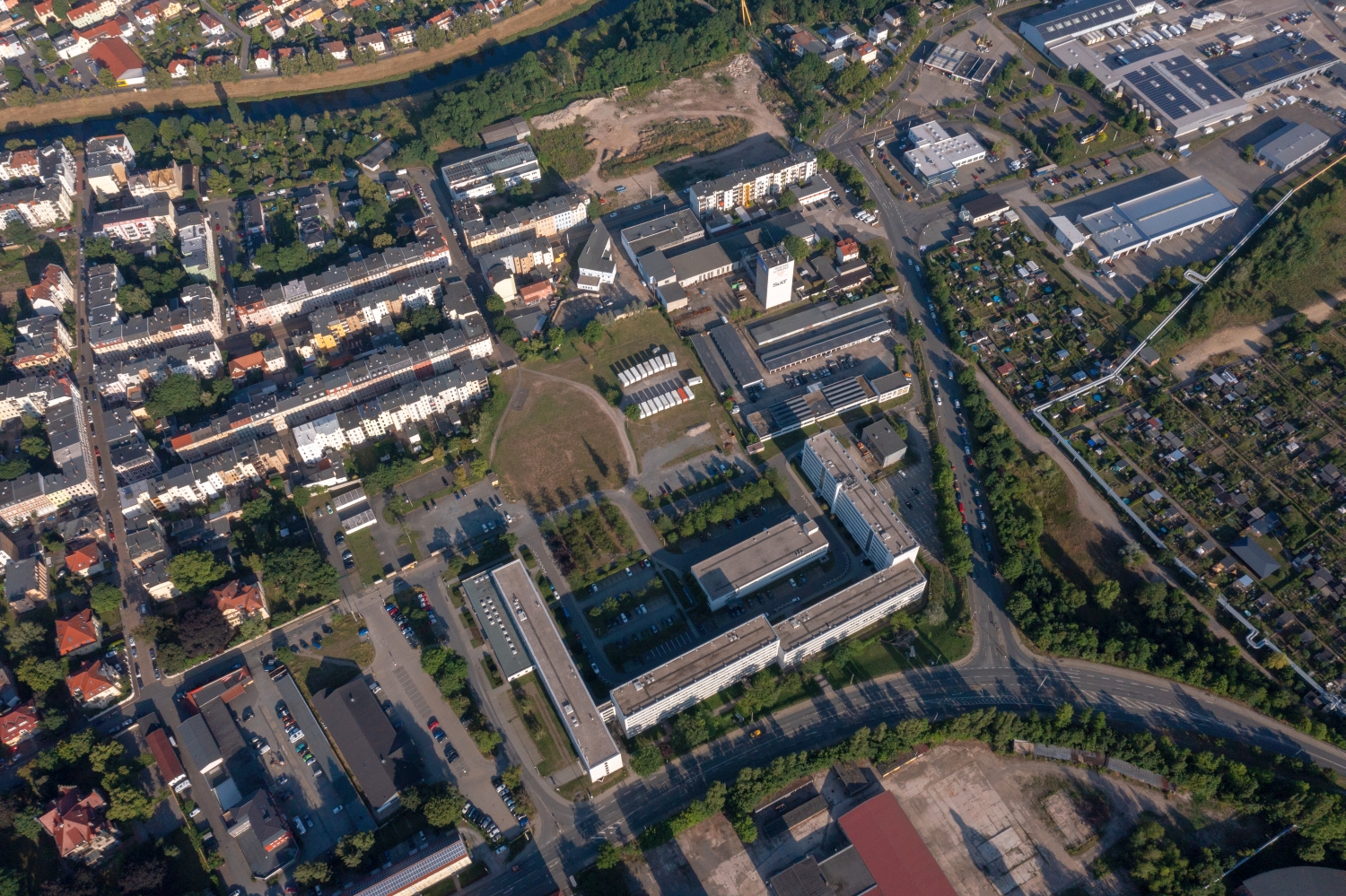
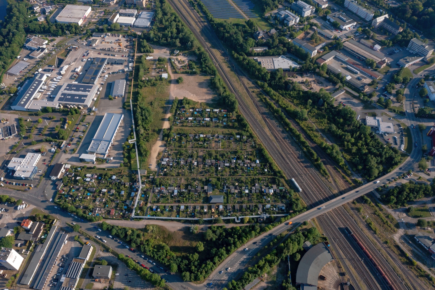
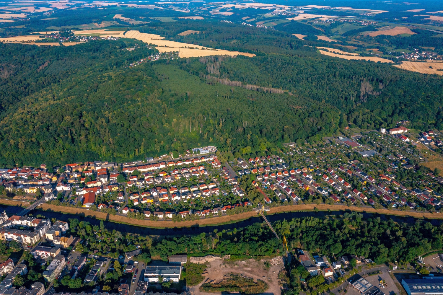
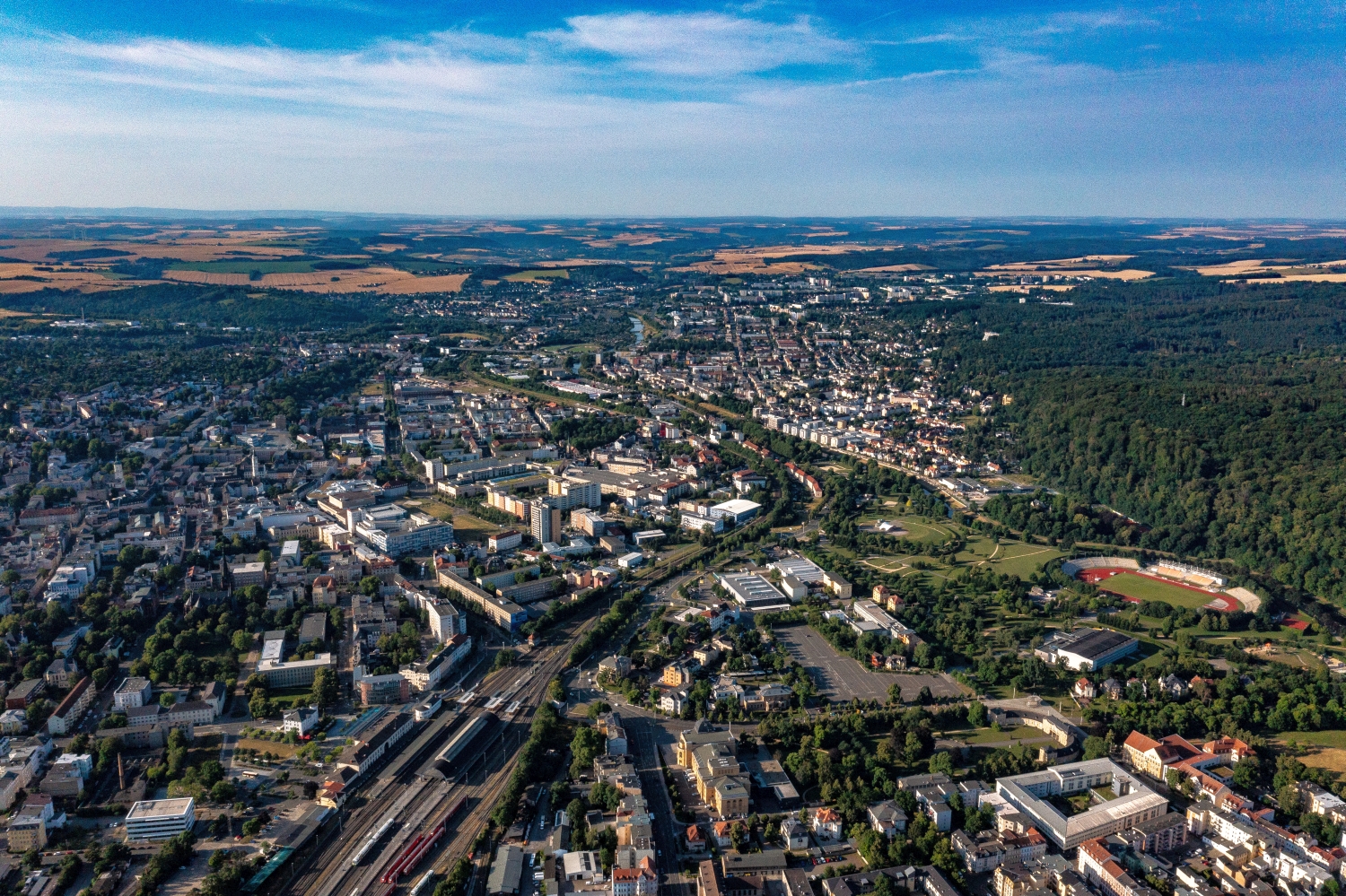
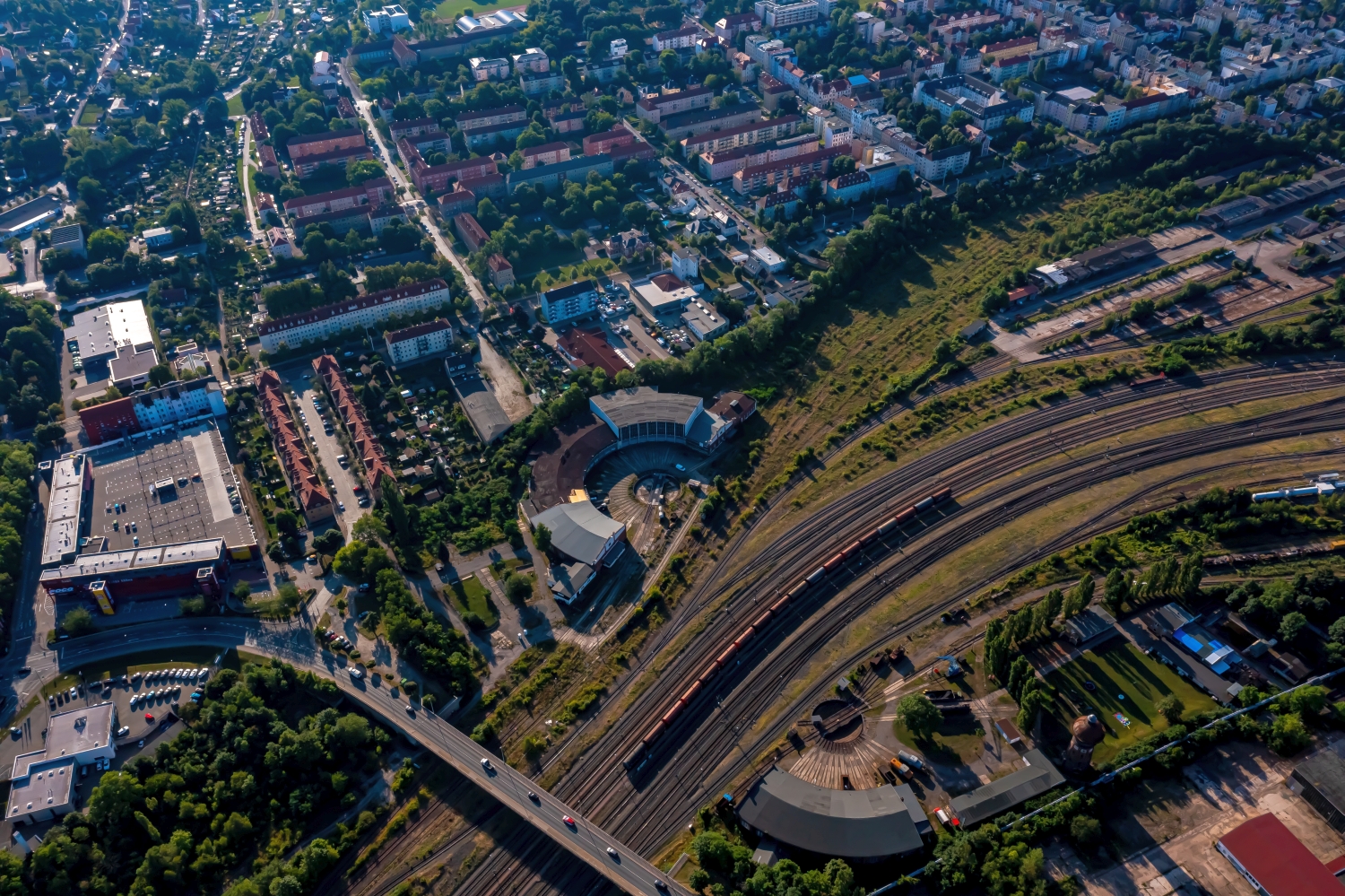
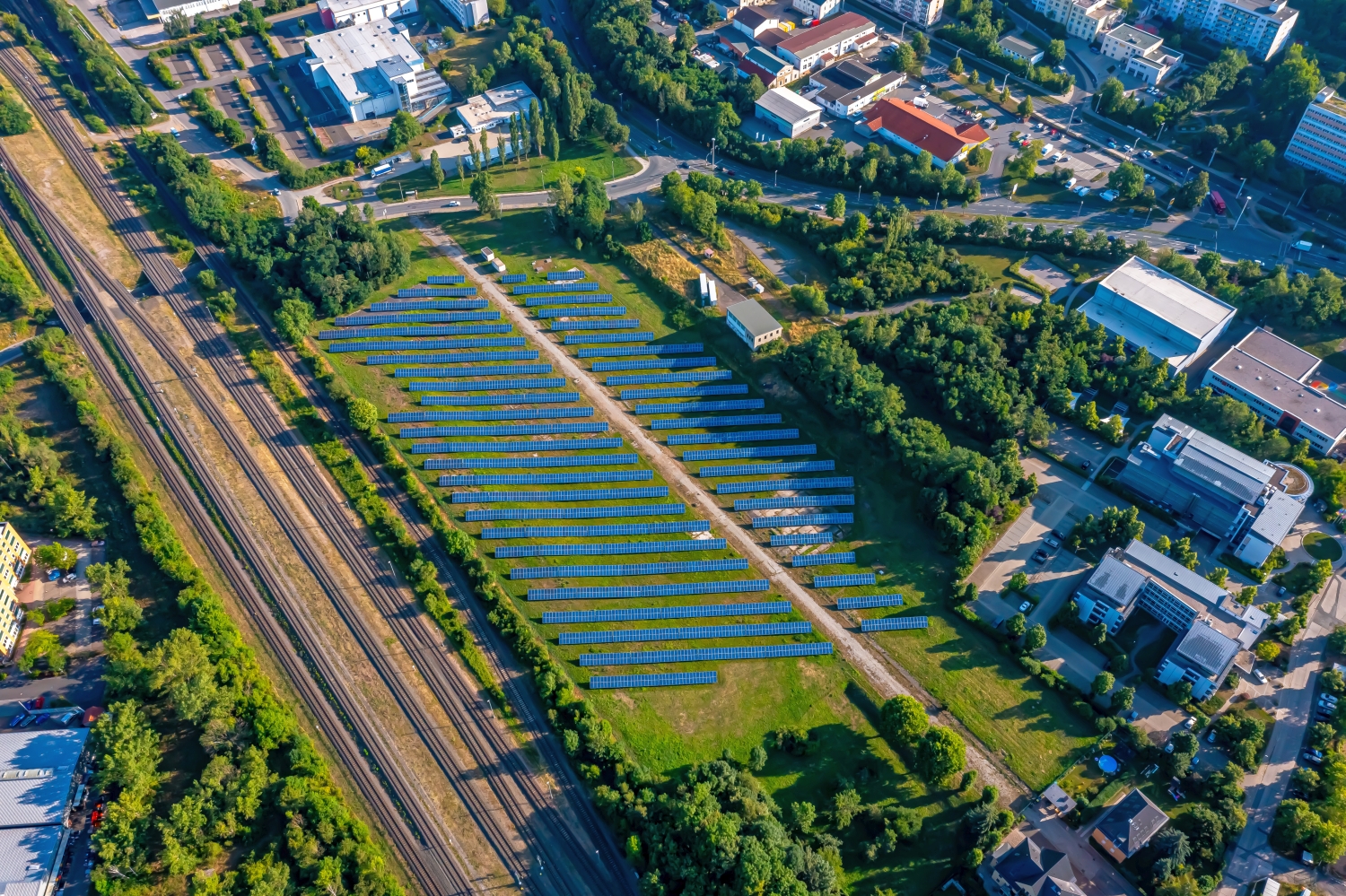
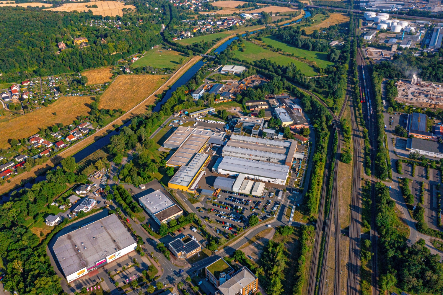
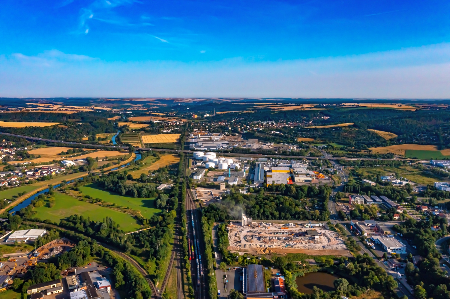
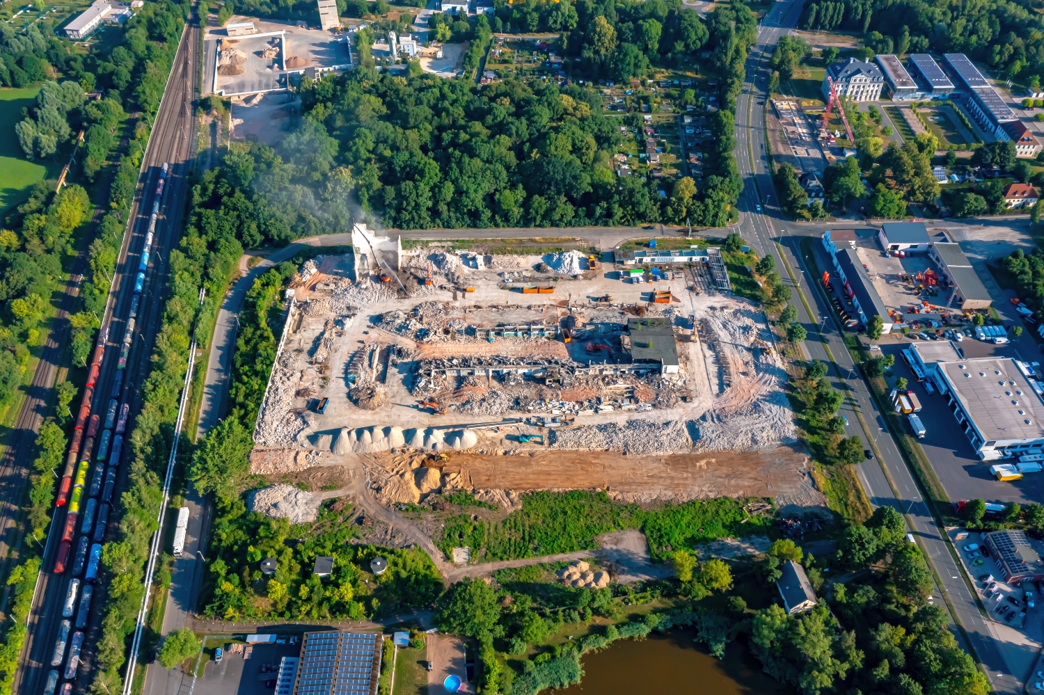
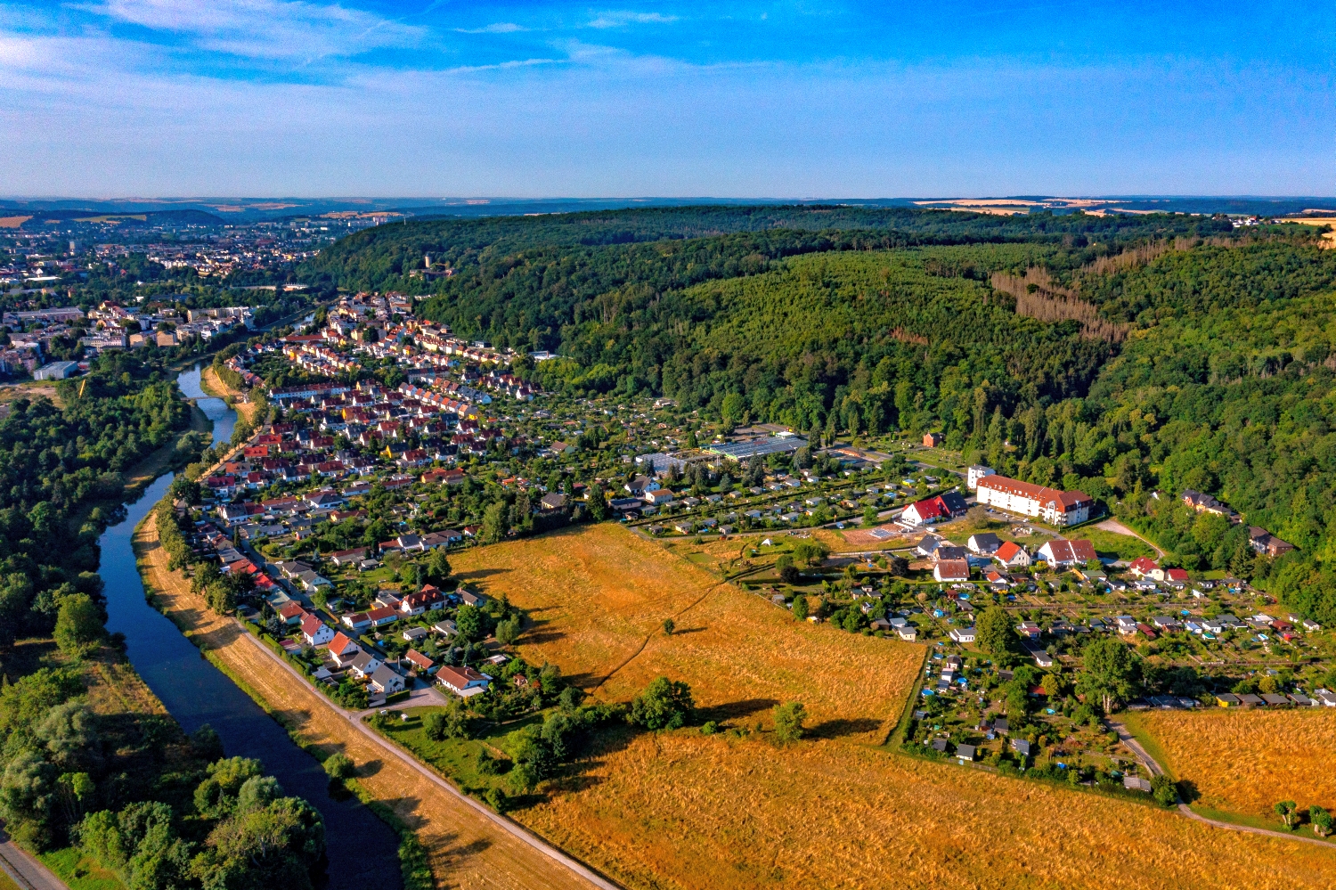
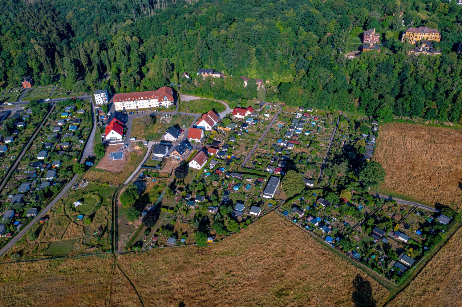
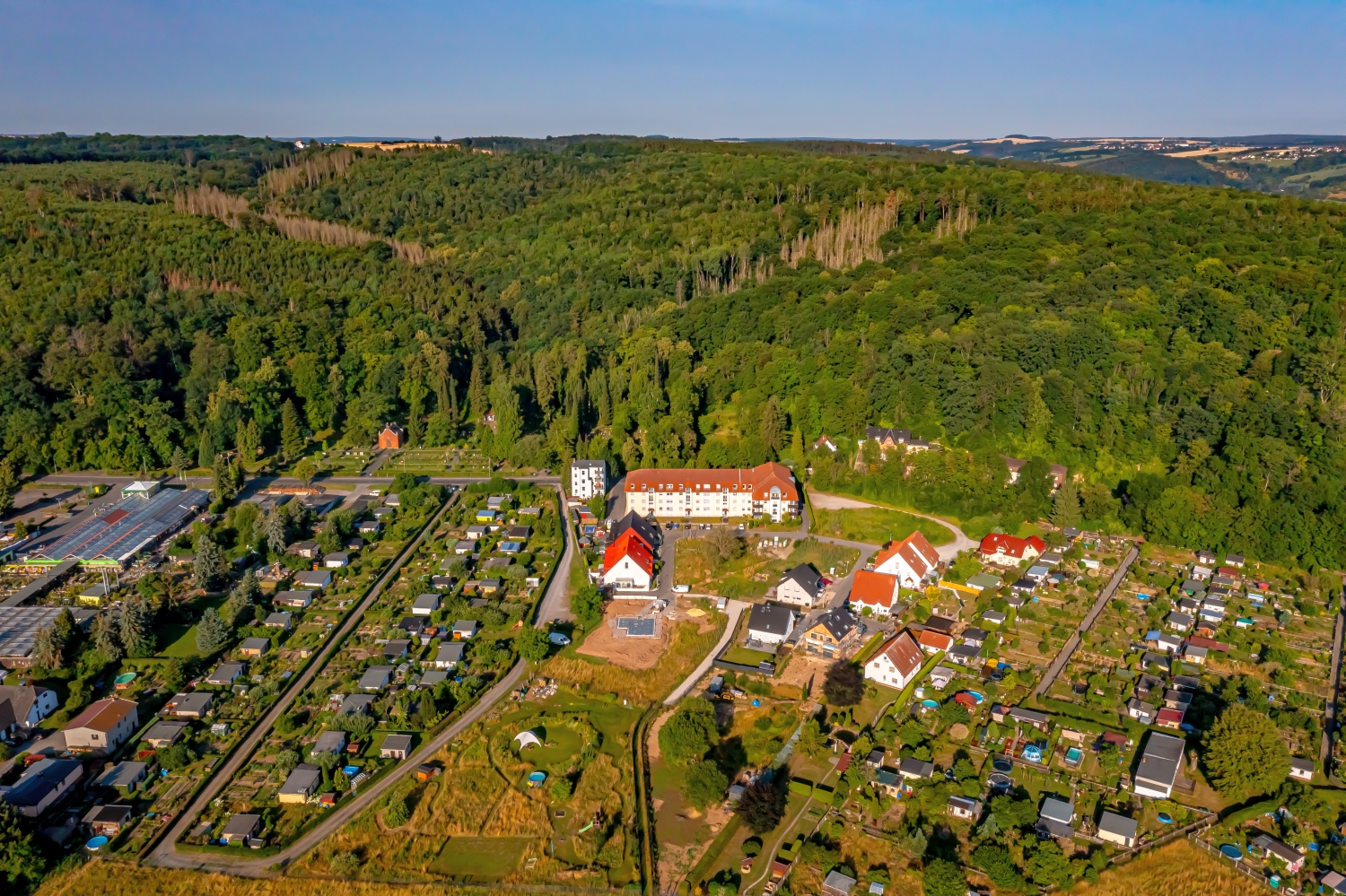
In Gera, the tracks and the valley form two long directions in the picture. Across it are residential streets, with green slopes in the background. If you only want to show a small part of the city, you will find excerpts along these lines that still tell something about the location in the valley.
A valley area with several traffic axes
In Gera, the railway systems stand out from the rest of the street because of the number of parallel lines they have. Where they merge into an arch, the course of the valley becomes visible. A close view and a panorama can connect precisely at this arch.
A traffic route gives direction to an aerial view. From above you can see where the route is, where it adapts to the terrain and where another path crosses it. An easily recognizable crossing is particularly useful for an illustration. It arranges the section in the larger network and brings together different proportions. A second look along the route can then show how the line from the first image continues into the adjacent landscape.
Recognize the shape of the valley area
The location in a valley is made clear in the aerial photo by the lateral boundaries. A nearby slope pushes forward in front of a distant one, and the valley floor opens up in between. If the section is too narrow, it can easily give the impression of a flat surface. A shot with a bit of a slope at the edge of the image preserves the context. Orientation is particularly successful when there is also a familiar size comparison, such as a street or a house. The eye can then better assess the depth between the individual landscape levels.
Follow the watercourse in the picture
At the river it is worth taking a second look at both edges of the picture. Sometimes a road ends there and continues along the water in the next section. In another place, a line of trees frames a stretch of bank. Such clues connect the place with its river valley. For a double page spread, you can choose an overview showing the course and juxtapose it with a close-up view of the shore. It helps if at least one bend in the bank or a building can be found in both motifs.
Shades of green in the image
Among the 36 photos in the gallery, shot 2 and shot 29 provide a good starting point for the comparison. In the first image, green areas make up a smaller part of the section than in the second. It's worth tracking the green areas individually. Only in connection with neighboring forms does it become clear what is in the foreground and what belongs to the more distant surroundings.
The camera captured July 14, 2023 for shot 1 and shot 36. The time interval between these two views is approximately 16 minutes. The exposure time was 1/800 second for the first of the images mentioned and 1/1000 second for the second.
In the Aerial Videos section there are 3 clips for this article. An example is “Aerial View of Gera, Germany”. Its preview leads directly to the video in the aerial photographer's Adobe Stock portfolio.
An image for spatial documentation
In the case of a technical system, the direction of view determines which relationships can be explained. The course is clear along a traffic axis, and across it often the connection to the neighborhood. Both questions are valid for a project portrait. The aerial photographer can treat them in separate views. When publishing later, it will help to organize the selection according to these questions. Two visually different images can otherwise repeat the same information, while an entrance, a crossing or the connection to a neighboring property remains incomprehensible.
Related motifs in the aerial photo archive
Two further articles invite comparison. In the first, Pforzheim, a different detail is in the foreground. A watercourse cuts through Pforzheim as a wide band. After that, Weimar is a good option. In the aerial photos of Weimar, rail lines lead out of the sea of houses.