 F4LUFTBILDER

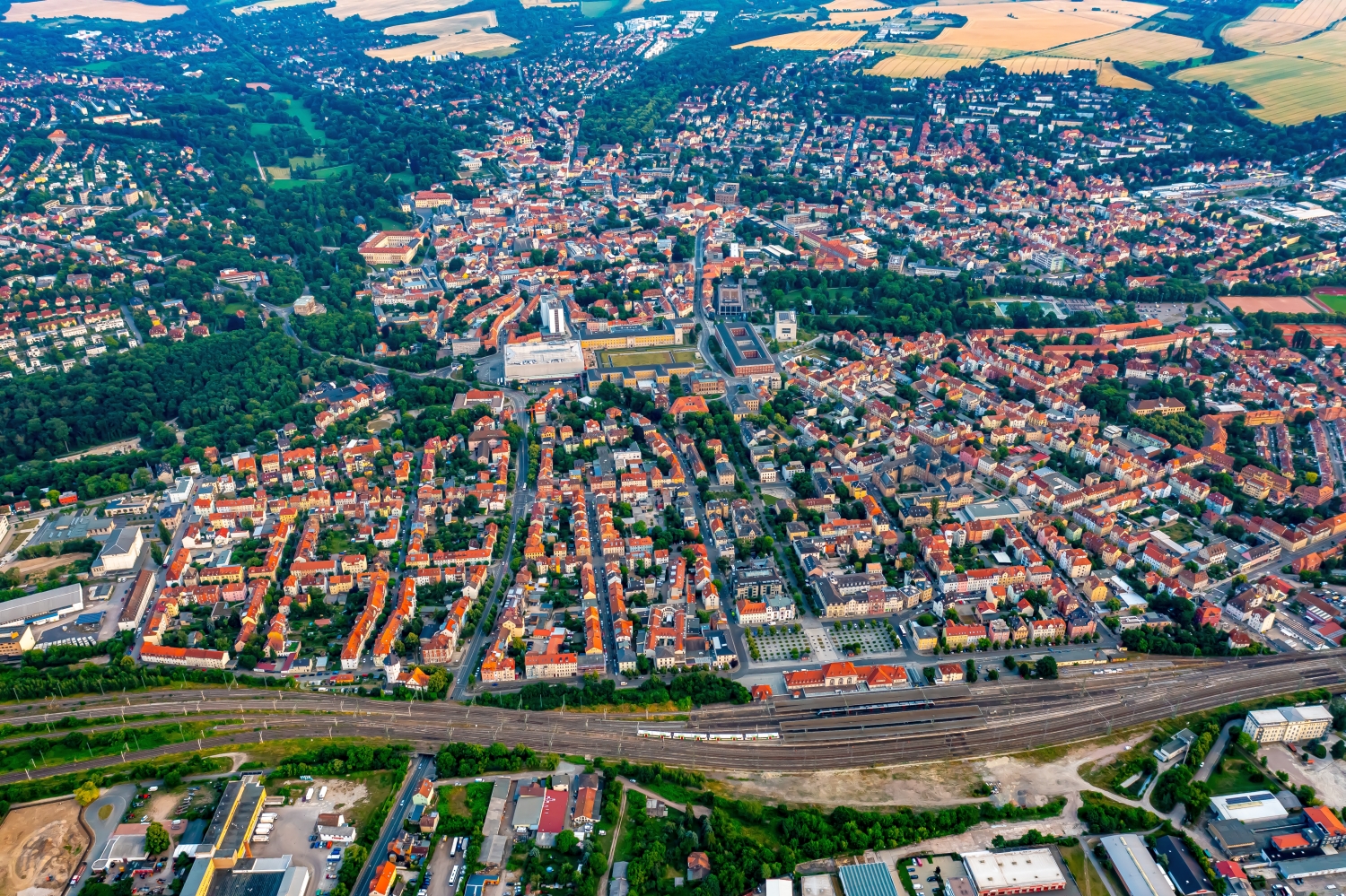
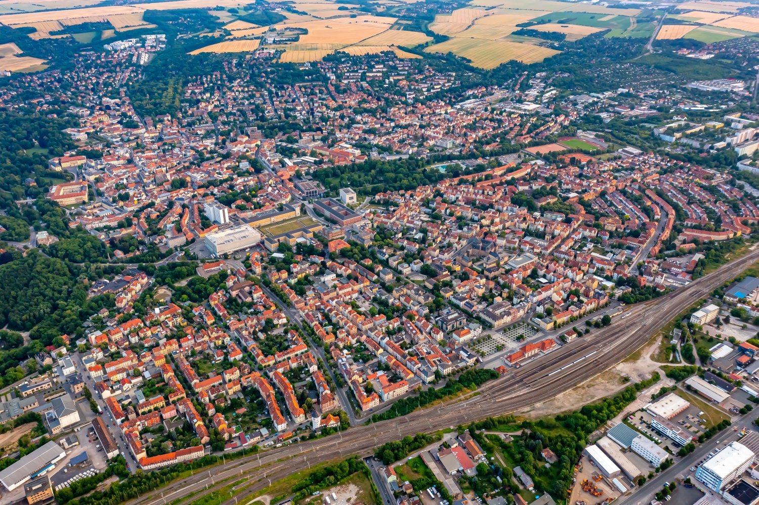
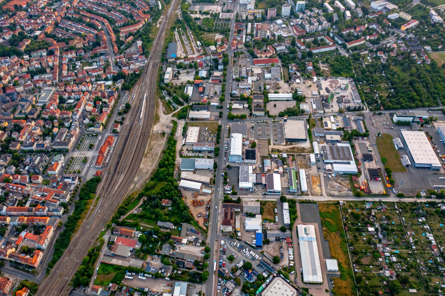
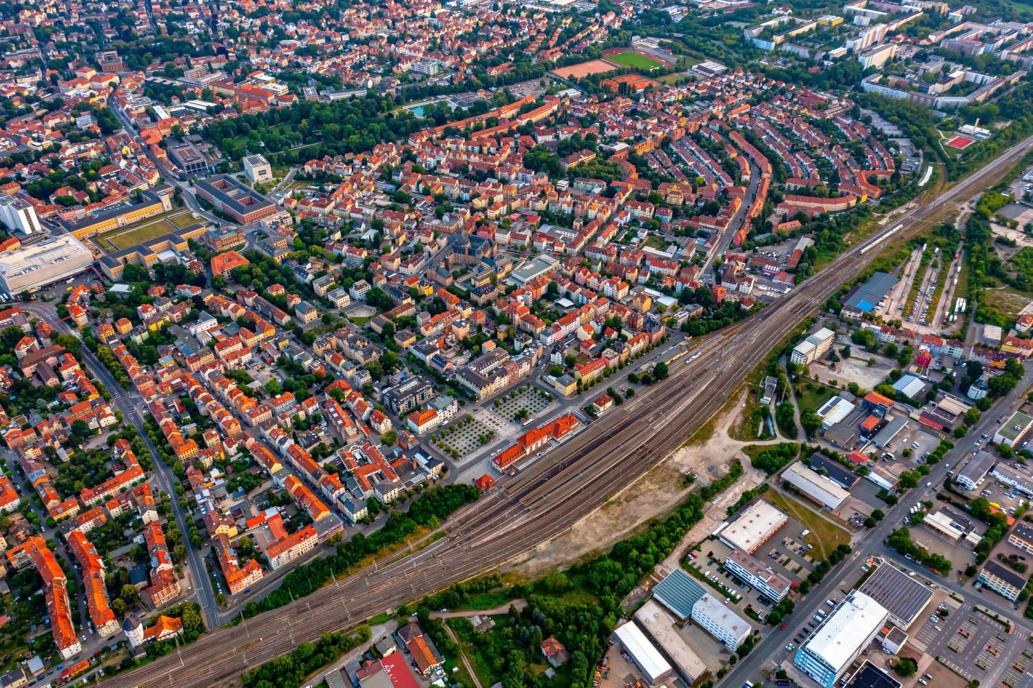
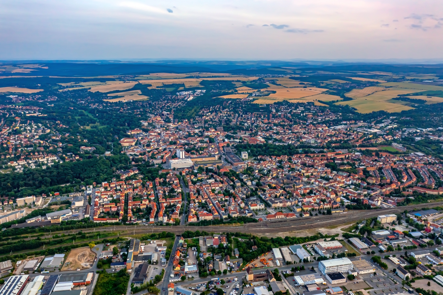
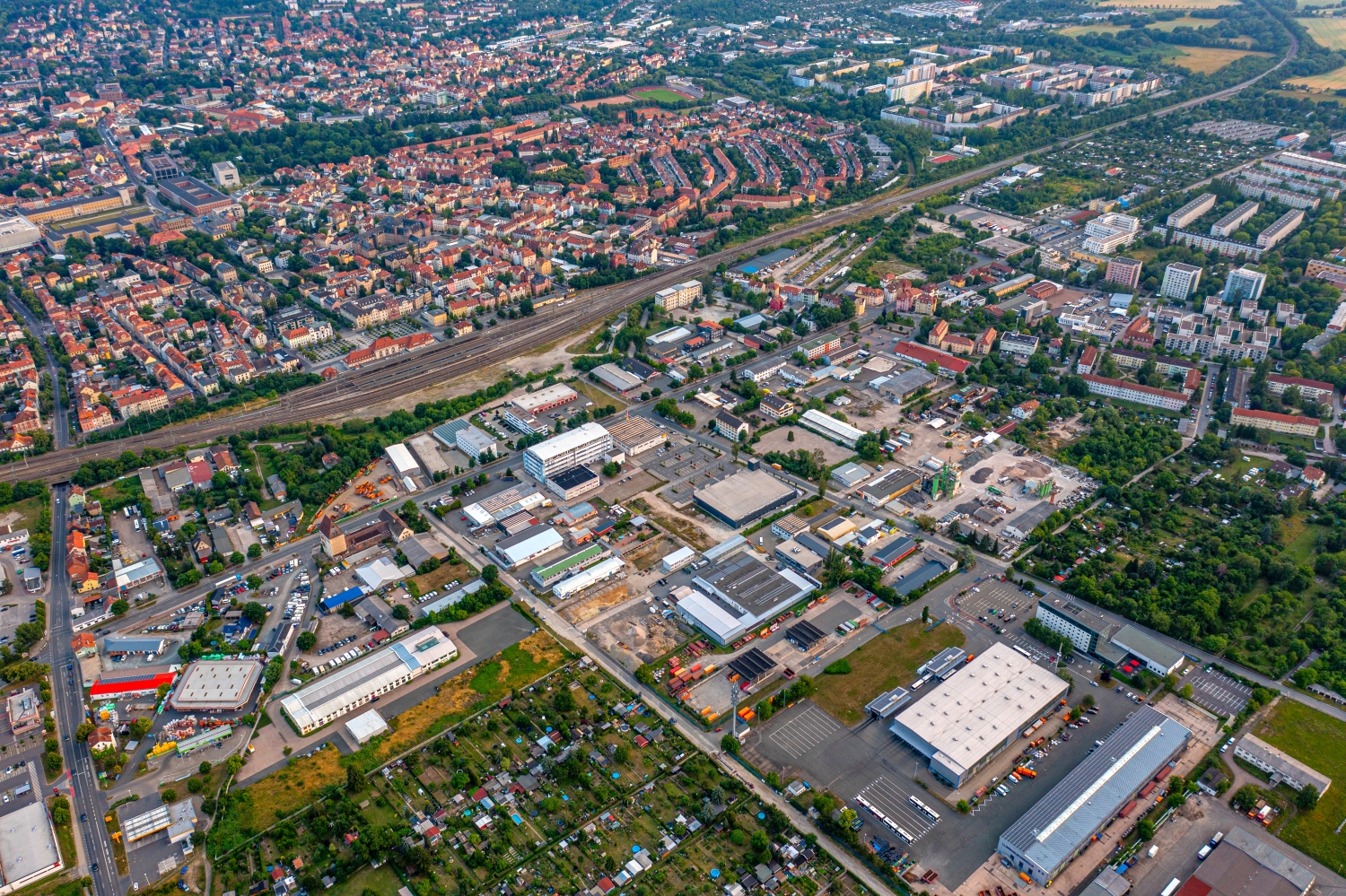
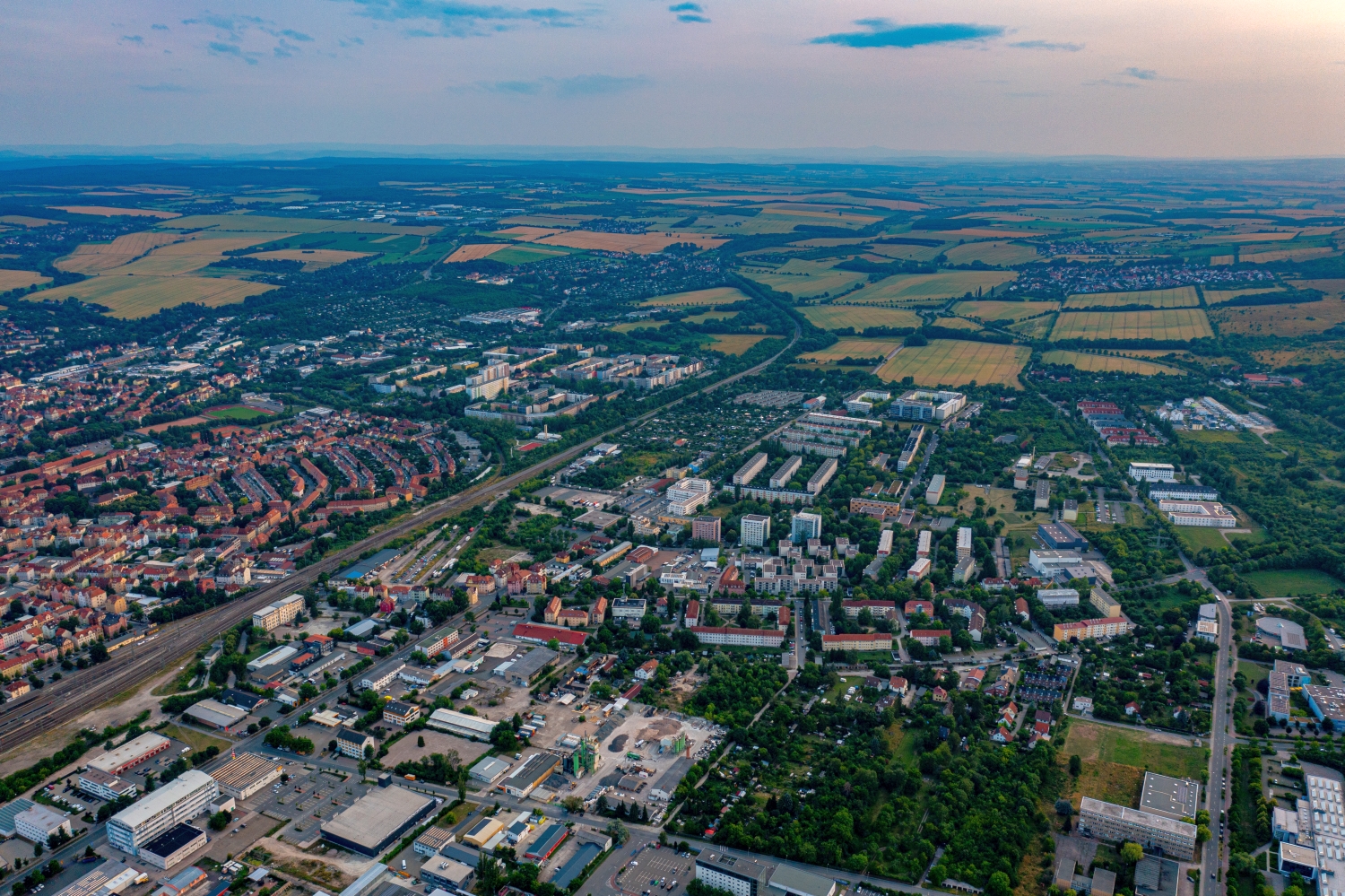
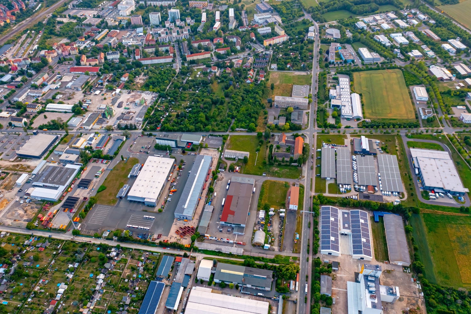
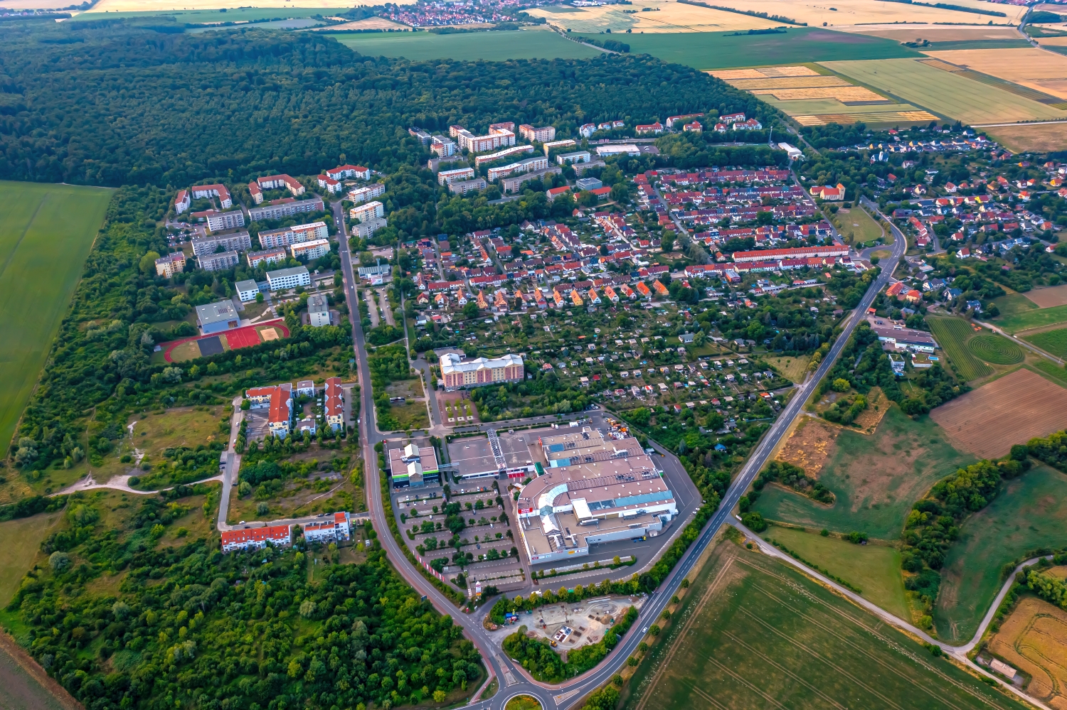
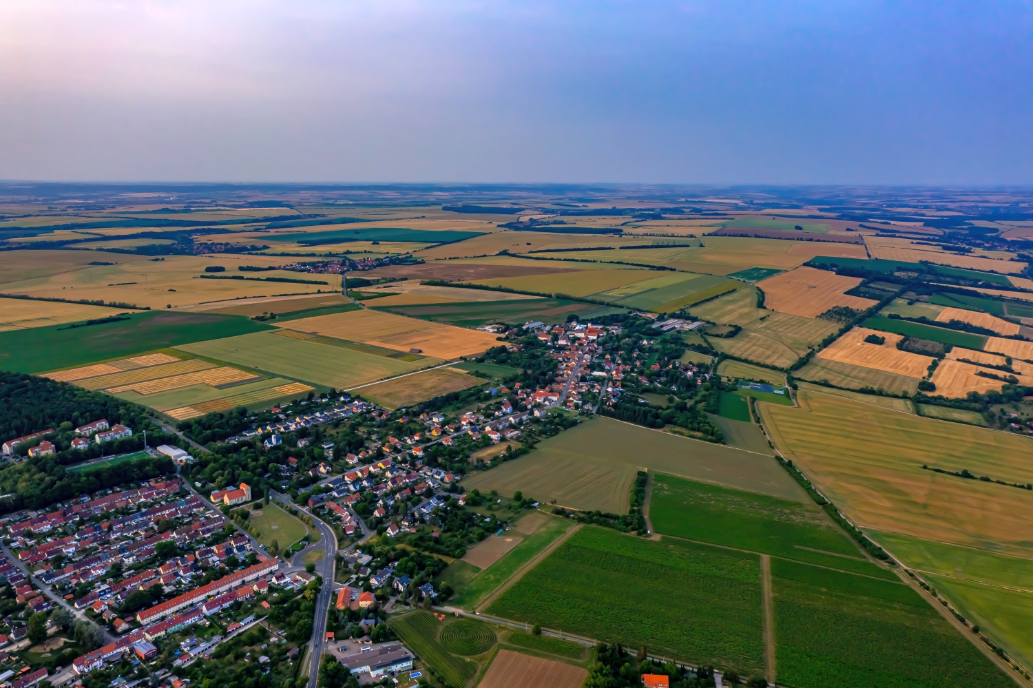
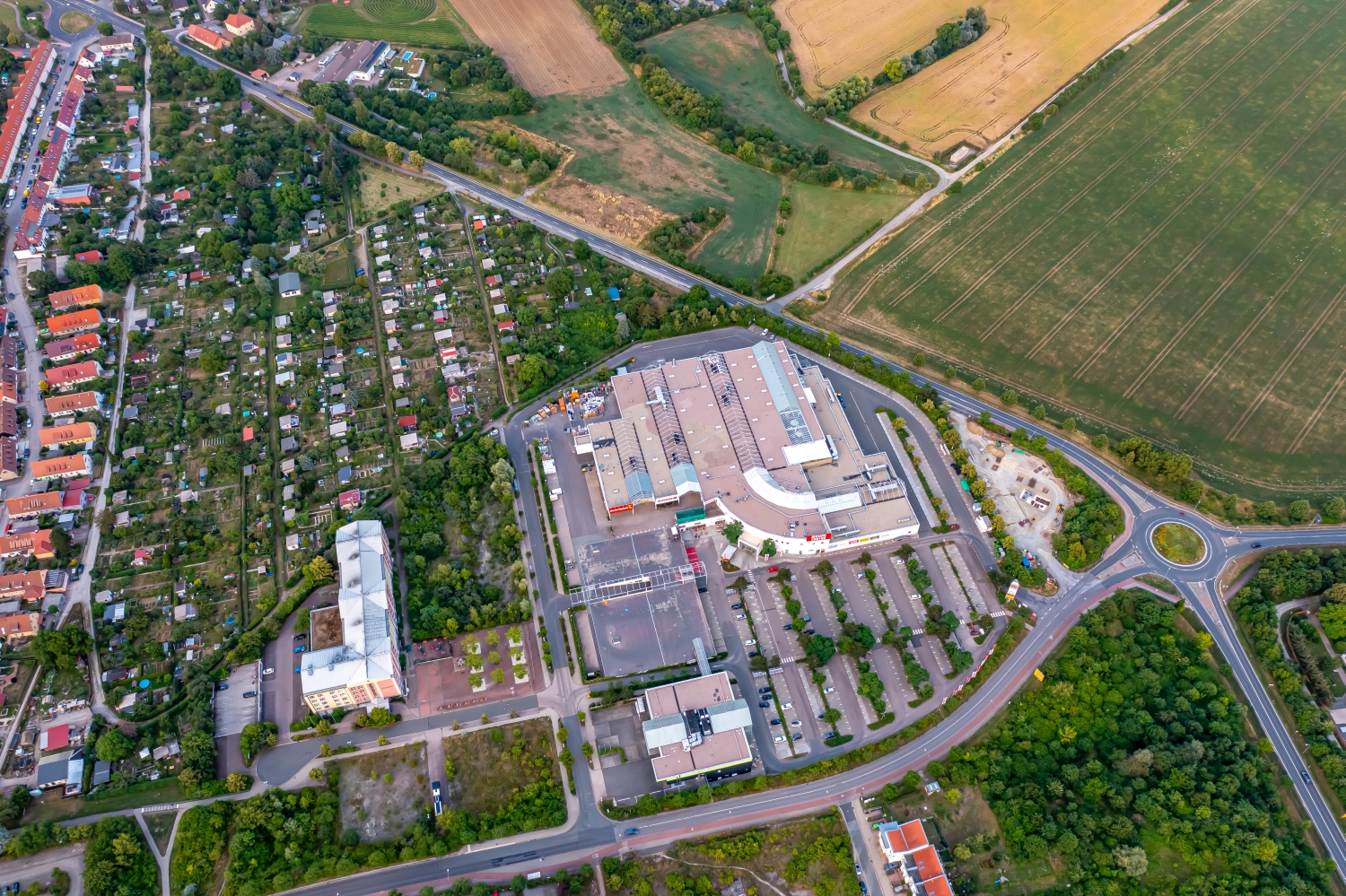
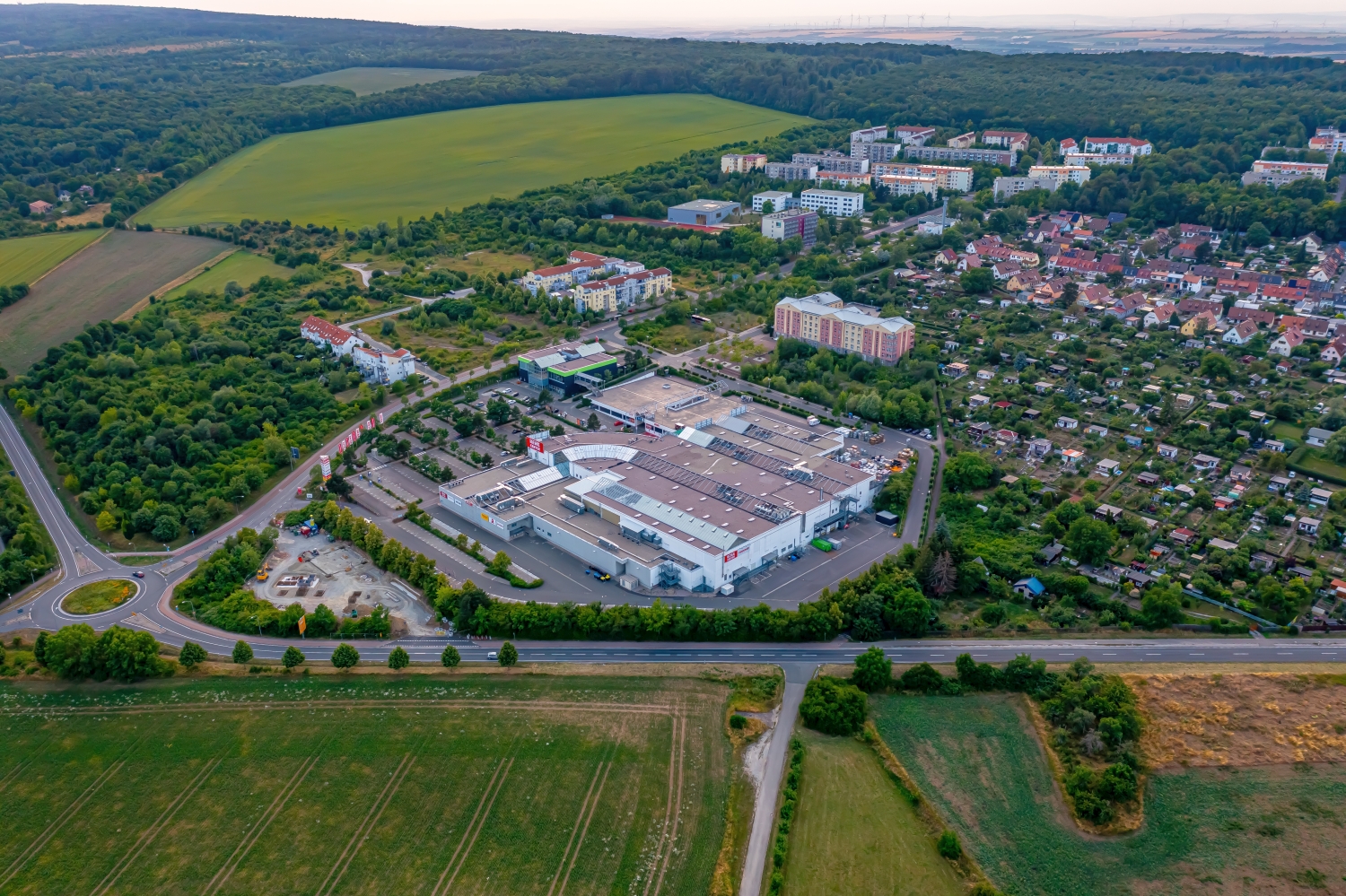
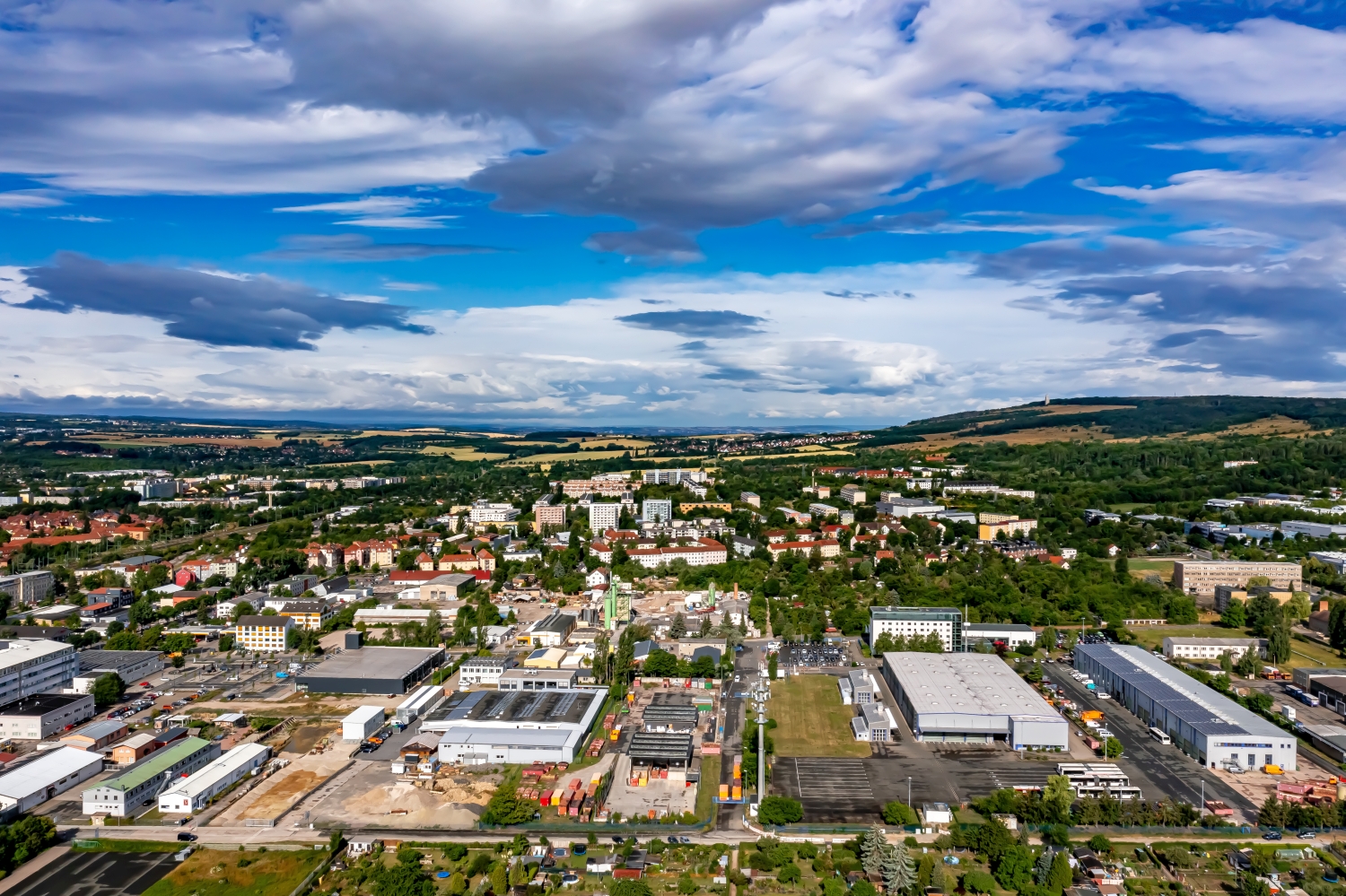
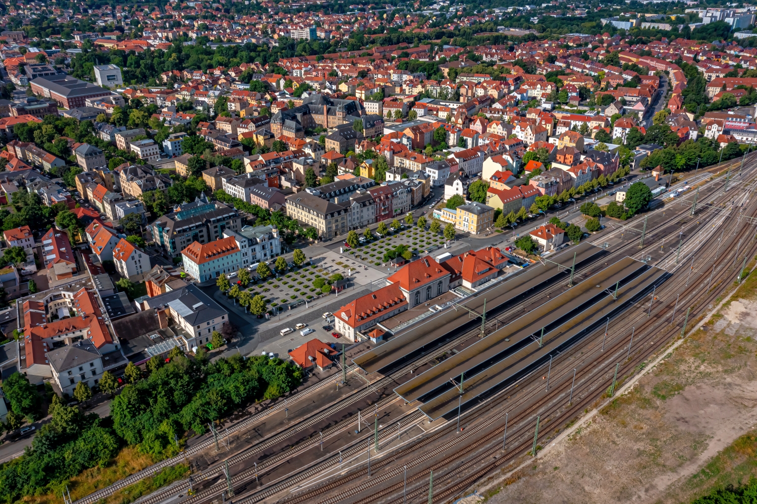
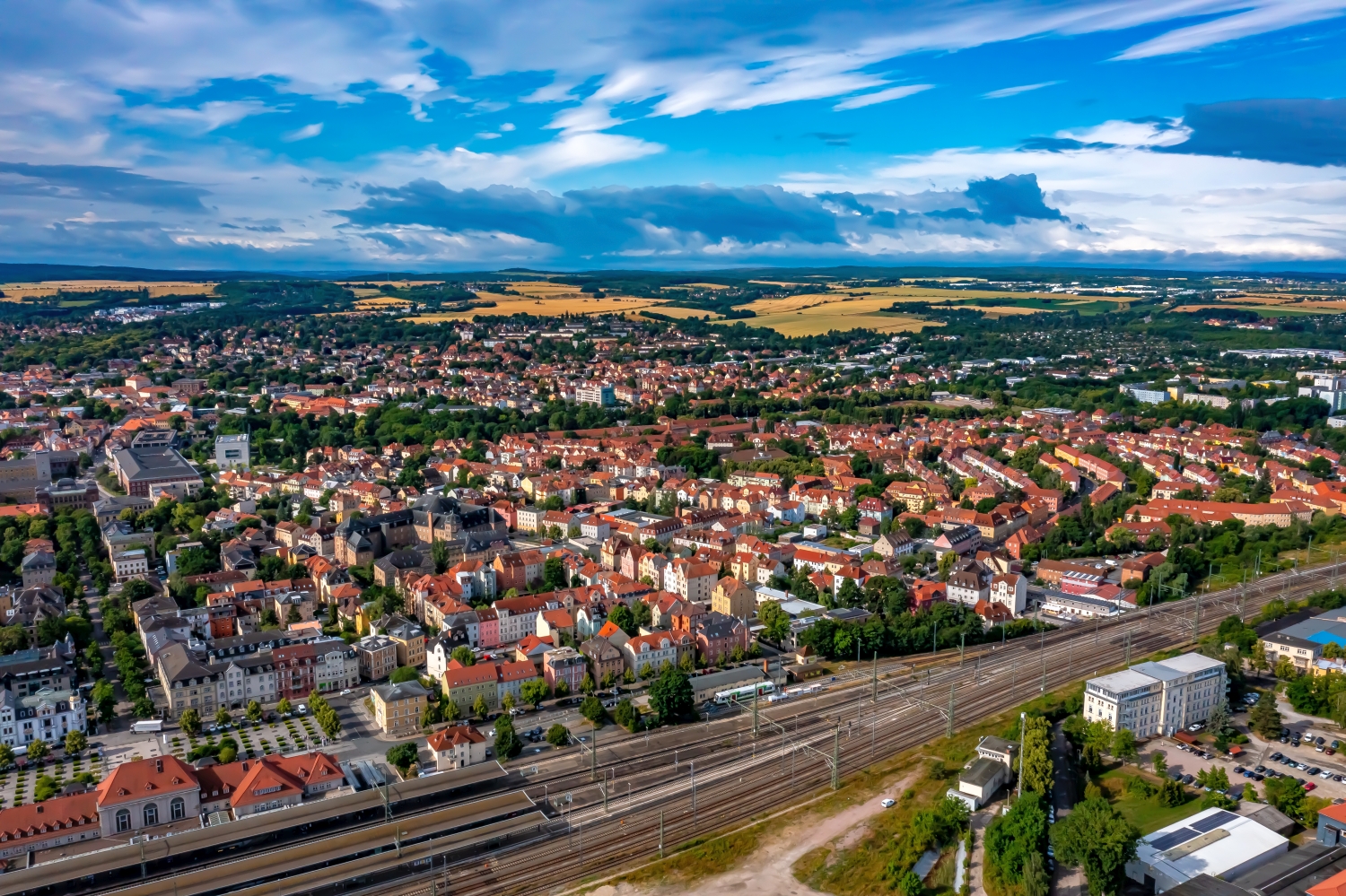
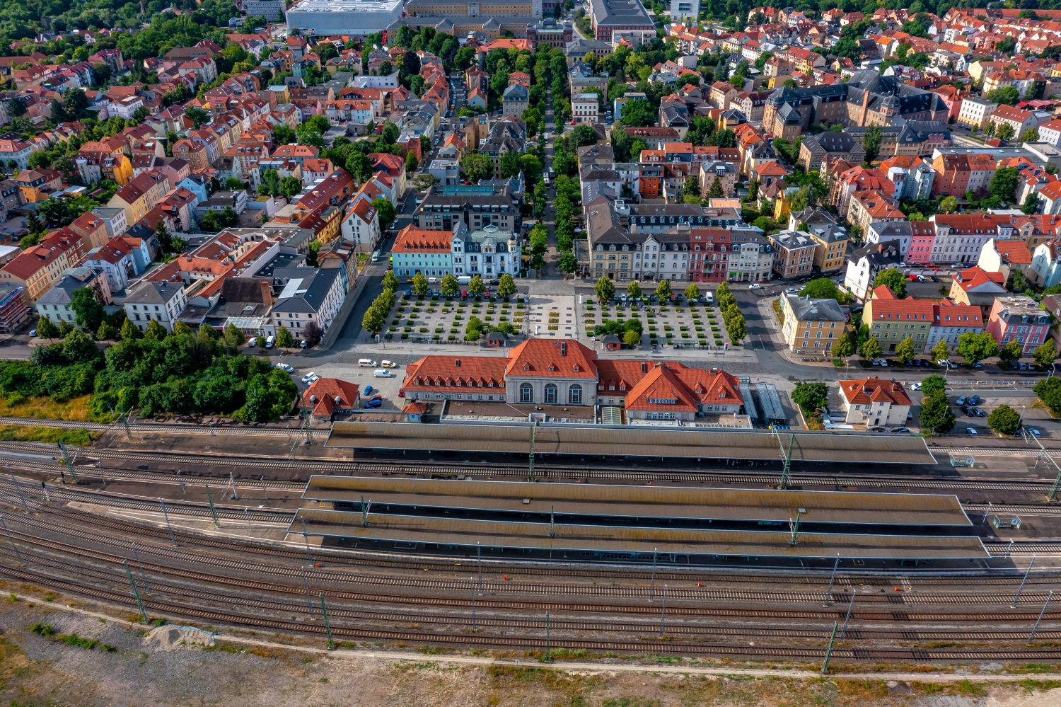
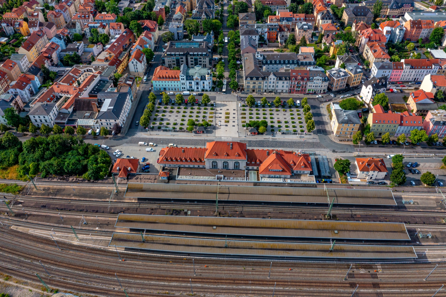
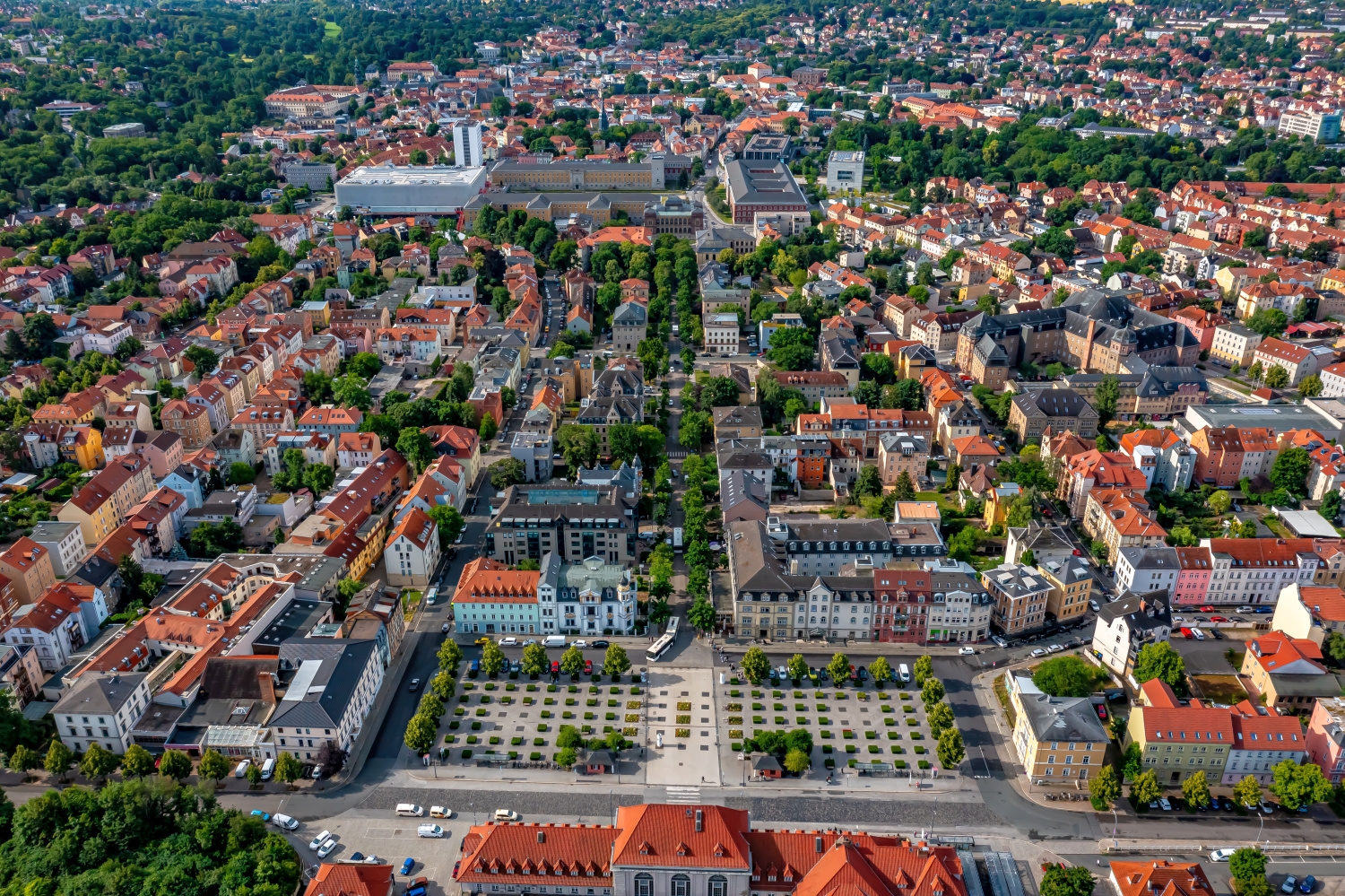
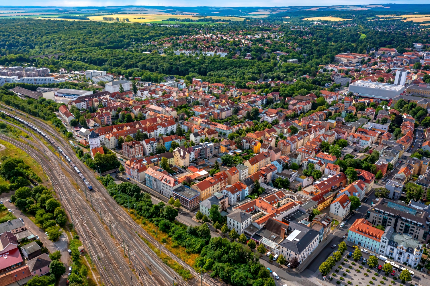
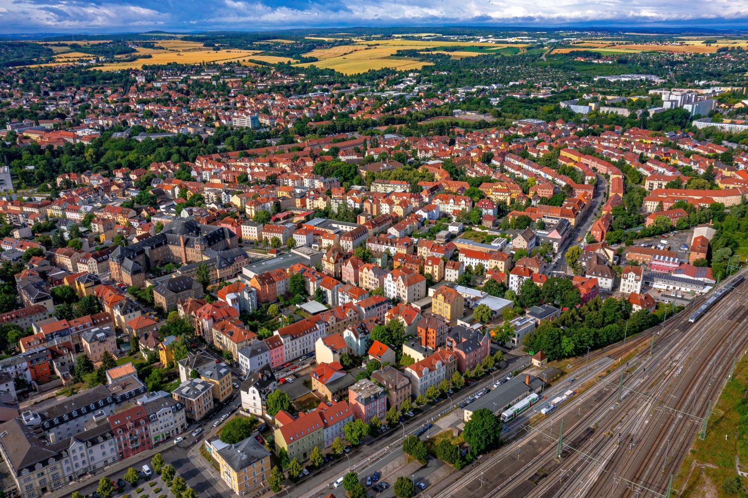
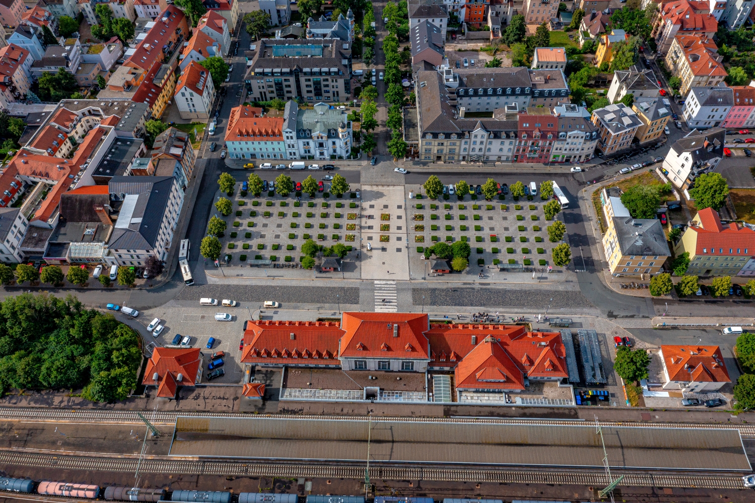
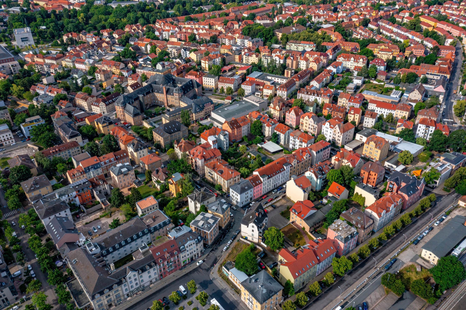
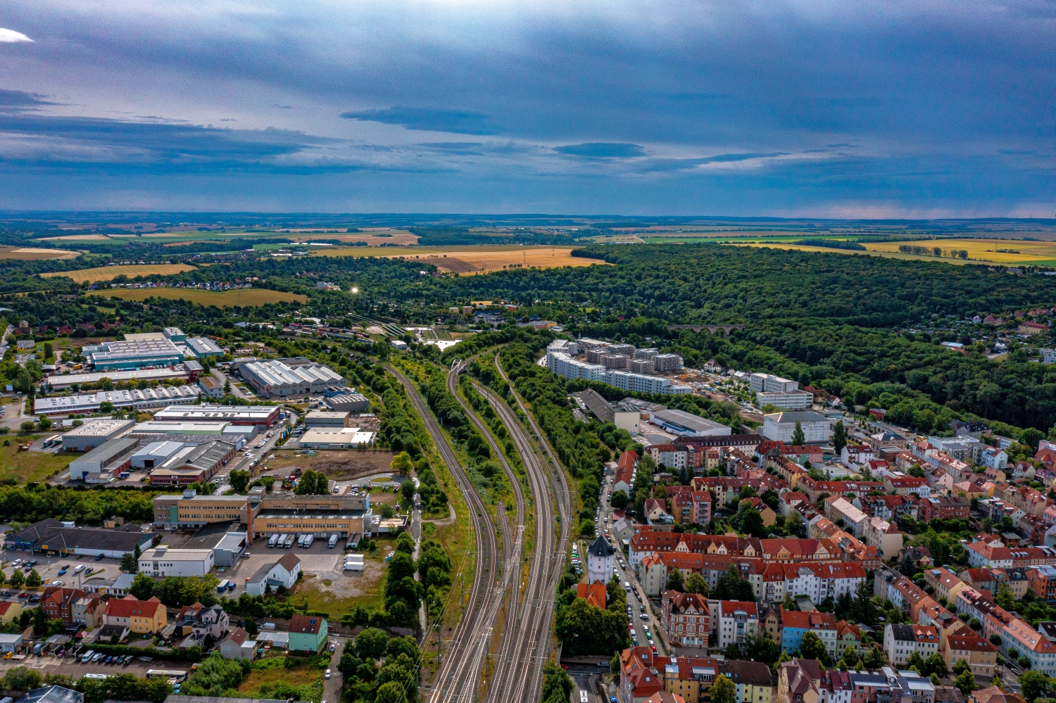

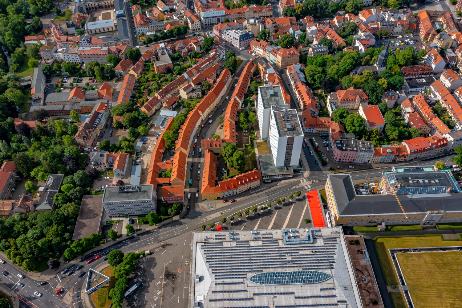
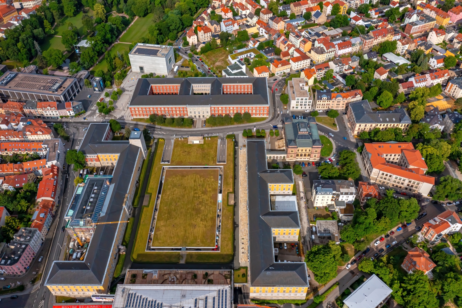
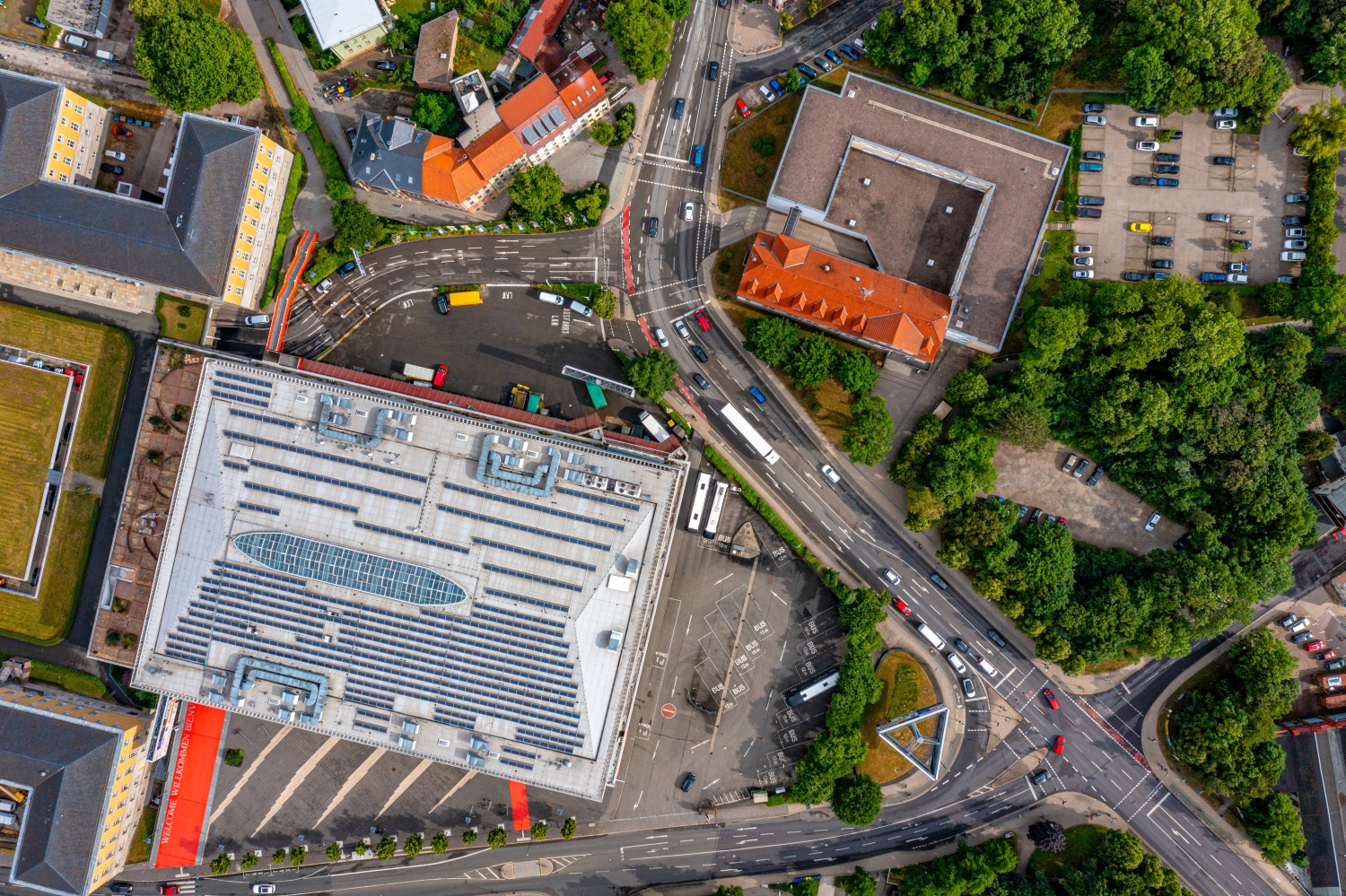
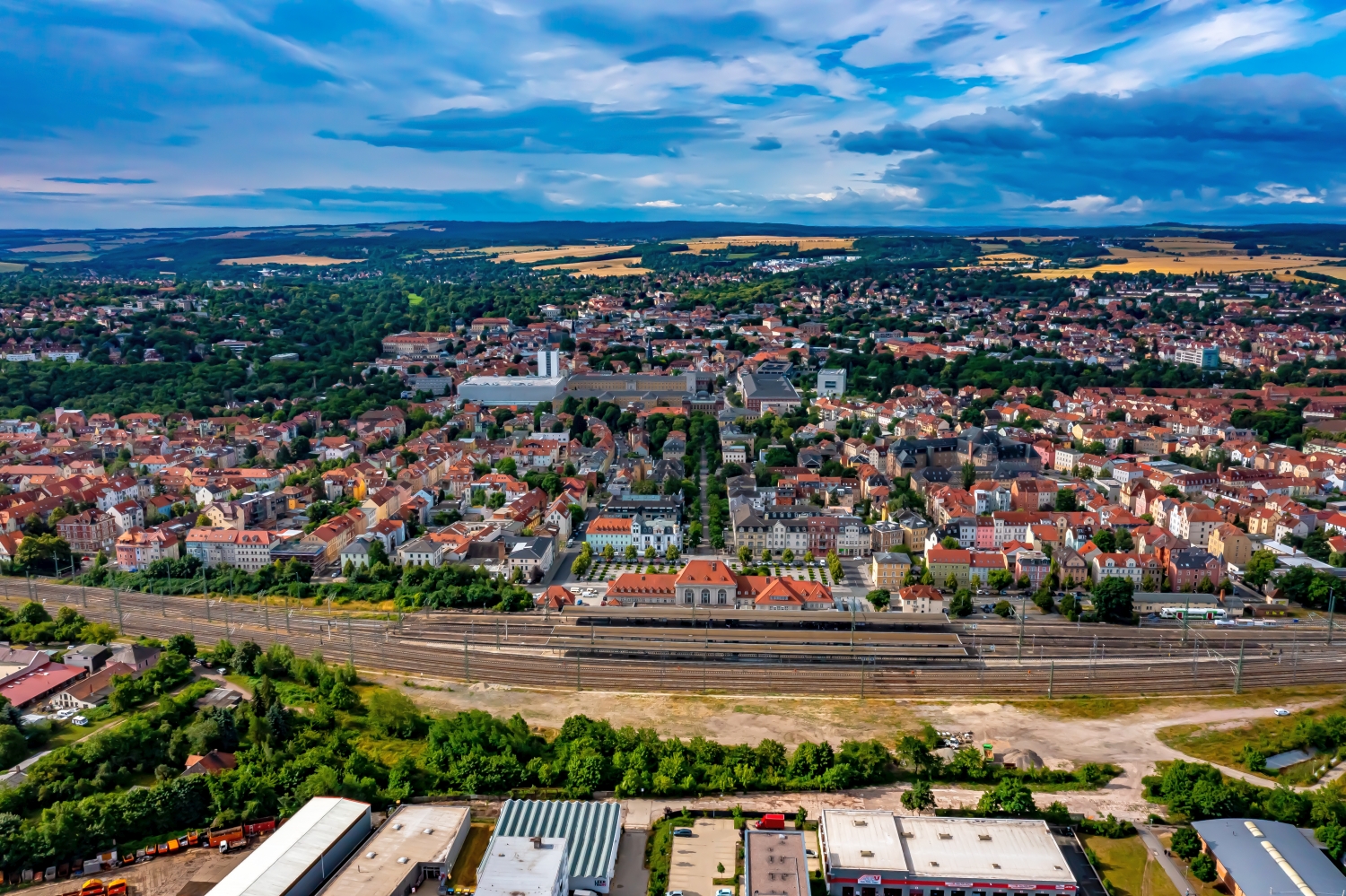
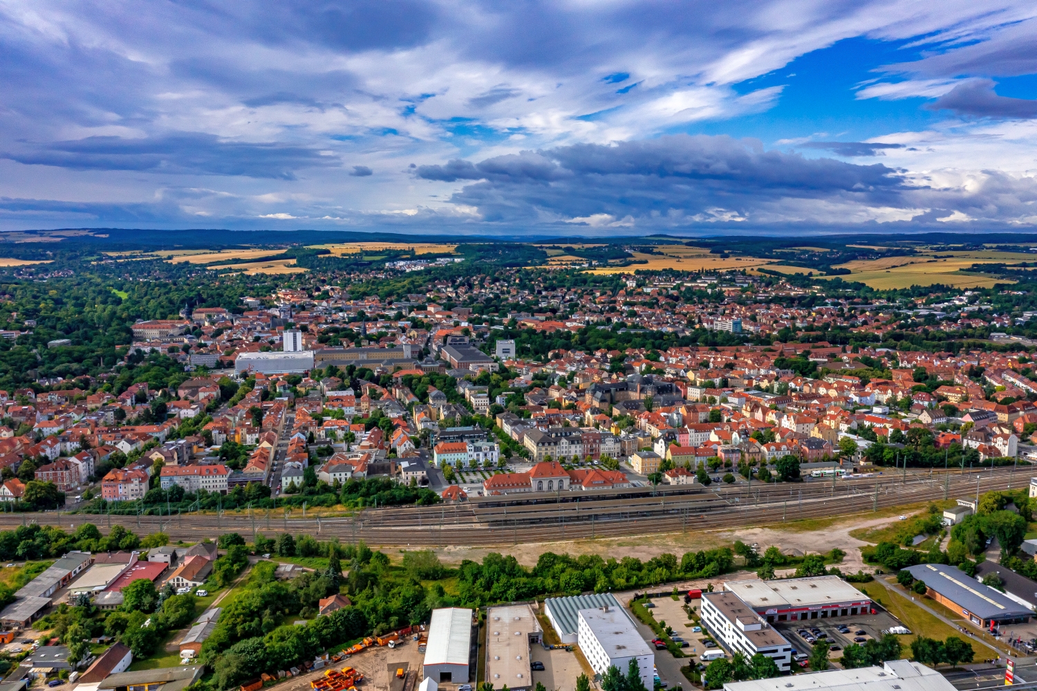
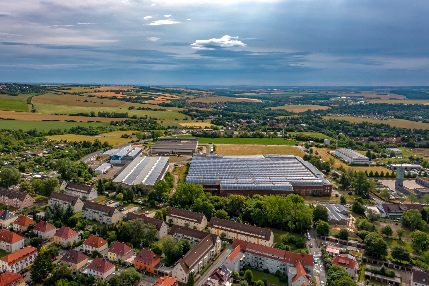
Weimar's railway lines and green outskirts
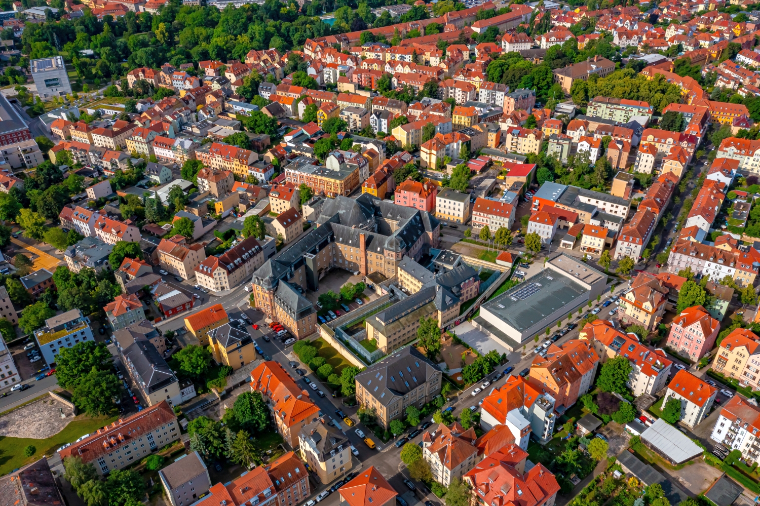
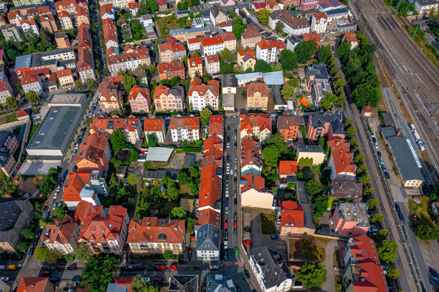
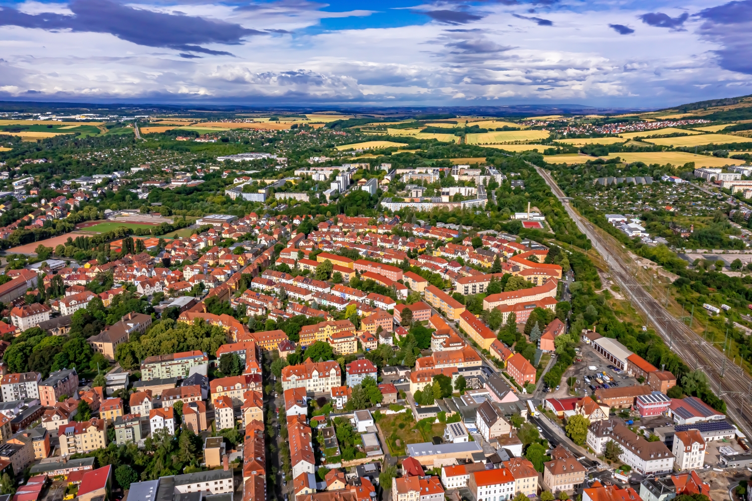
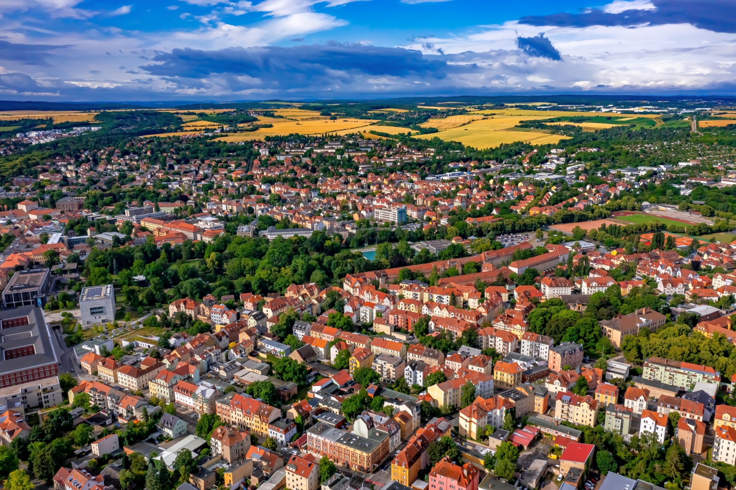
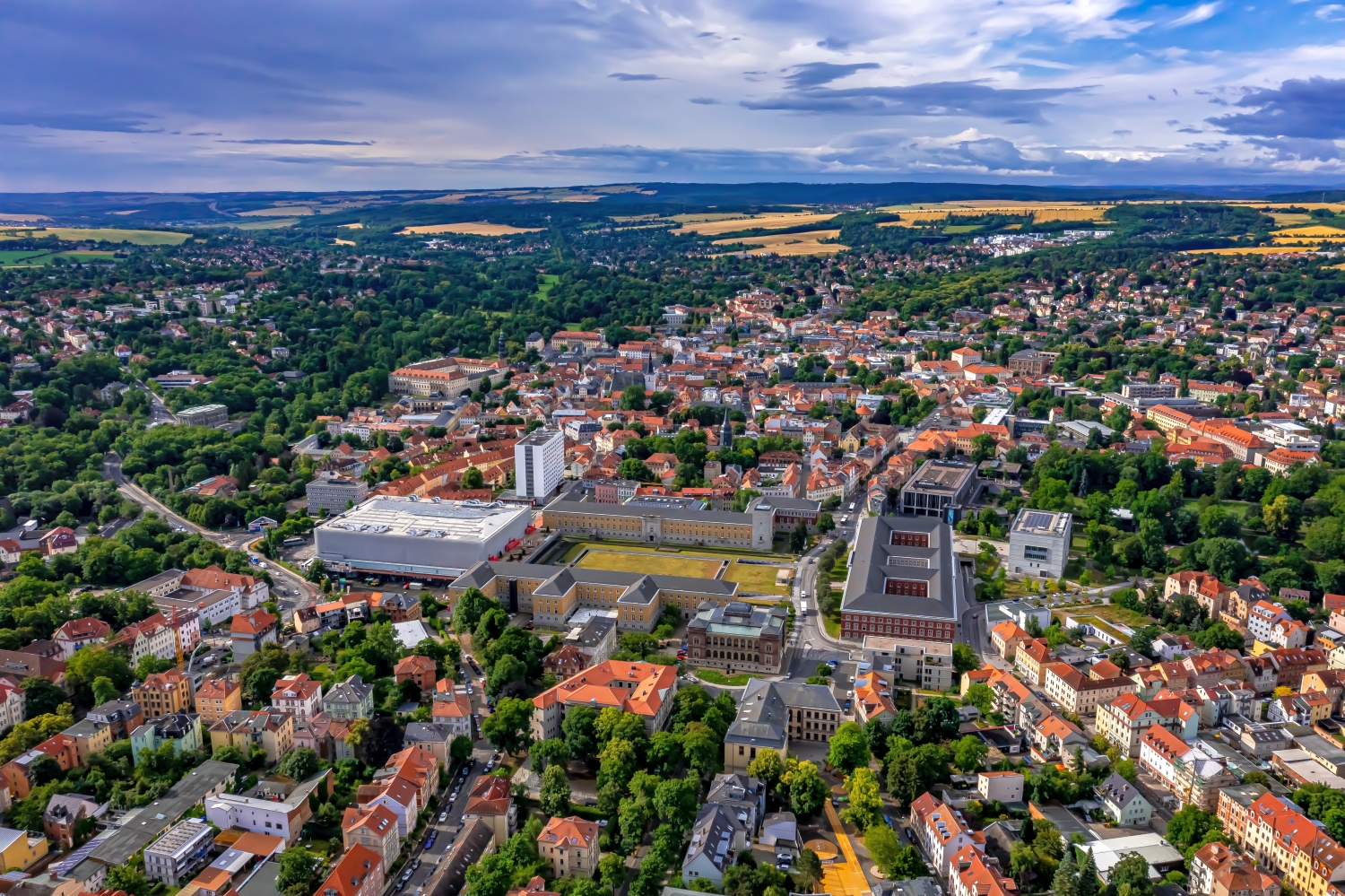
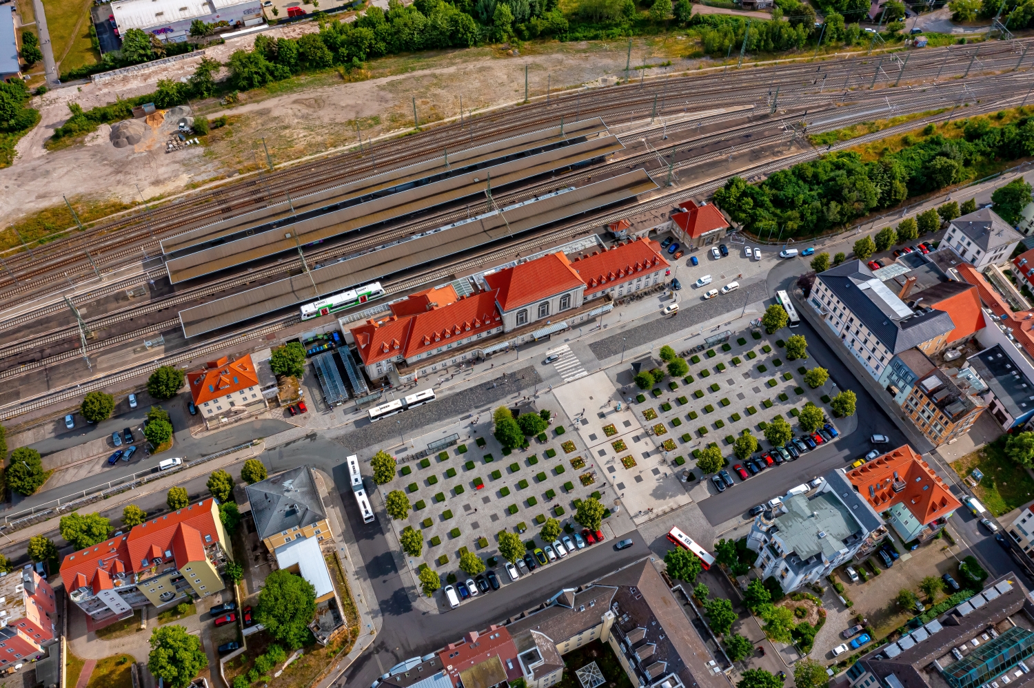
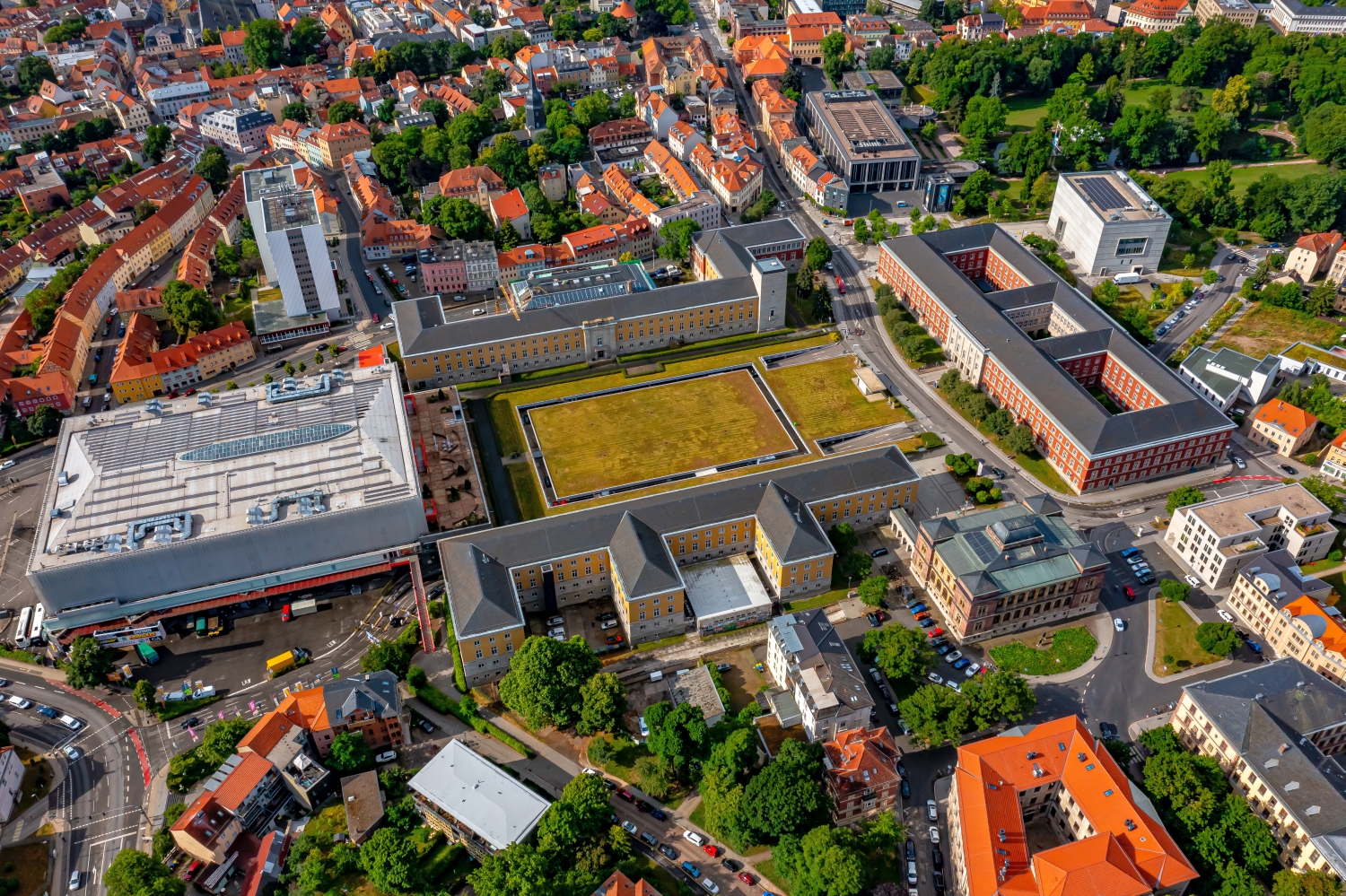
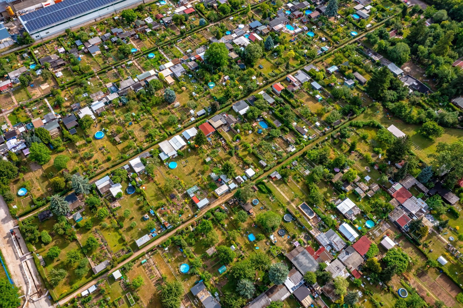
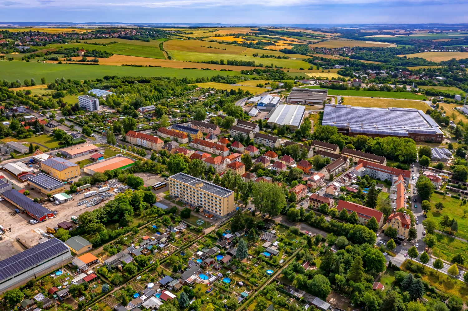
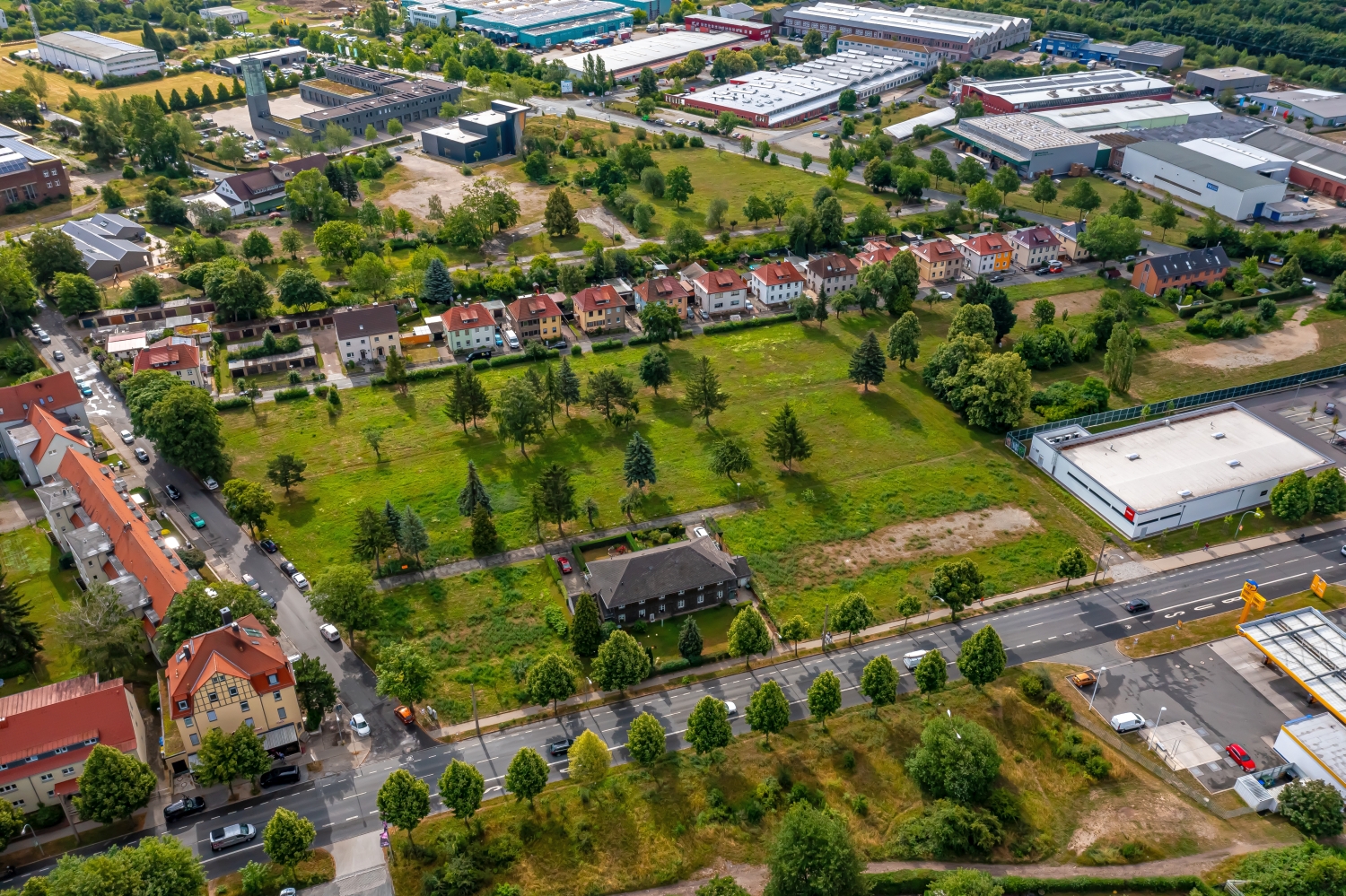
In the aerial photos of Weimar, rail lines lead out of the sea of houses. Behind the tracks the picture changes to gardens, trees and open heights. The series complements the usual view of individual cultural locations with the spatial connections between the city and the surrounding area.
With the tracks through the cityscape
Anyone who combines a view of Weimar city center with a peripheral motif can use the tracks as a visual connection. In the first image they are part of the urban fabric, in the second they form a clear boundary. The sequence of images explains a path through the urban area.
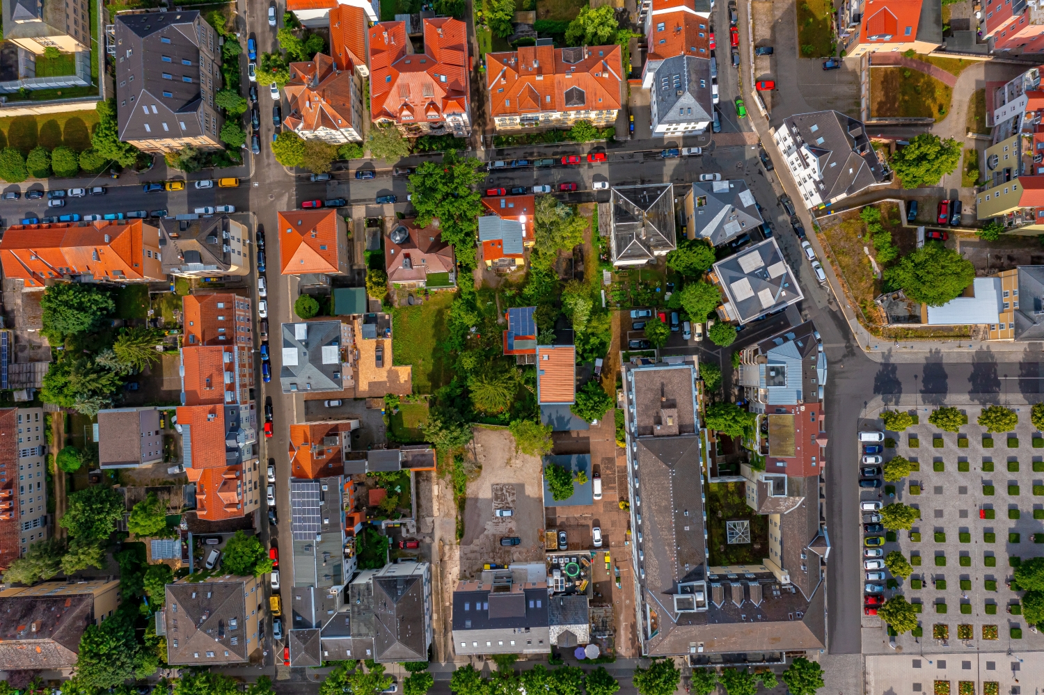
A traffic route gives direction to an aerial view. From above you can see where the route is, where it adapts to the terrain and where another path crosses it. An easily recognizable crossing is particularly useful for an illustration. It arranges the section in the larger network and brings together different proportions. A second look along the route can then show how the line from the first image continues into the adjacent landscape.
What the roofs reveal about the floor plan
If you look at it at an angle, the houses not only show their roofs, but also their facades of different widths. This gives the motif more depth than in the pure top view. Even the change from a low neighboring building to a taller building reveals something about the gradation of the place. Such a view is particularly useful for a local chronicle if the caption indicates the starting point of the view. Readers can then follow the rows of houses themselves to the edge of the picture.
The open spaces between the buildings
In a green area, the view from above shows, in addition to the trees, primarily the open spaces. A path can change direction in an open area, and dense vegetation can almost completely obscure a building. The system is easier to understand when they interact together than through individual trees or roofs. If you want to explain a park area in a picture, look for a place where the path, open space and vegetation come together. It offers an easy-to-read introduction to the larger floor plan.
The distribution of blue tones
If you browse through the 42 aerial photos, you can stay at shot 39 and shot 7 for a comparison. In the first excerpt, shades of blue play a smaller role. In the second shot, blue areas take up more space. Blue can extend over a large contiguous area or only appear in individual parts. What also counts for the effect is whether these areas extend to the edge of the picture or surround the main subject.
The camera data for shot 1 says July 4th, 2023, and that for shot 42 says July 5th, 2023. The gallery combines images from different days. Differences in lighting or visibility can be better classified against this background. The exposure time was 1/80 second for the first of the images mentioned and 1/1000 second for the second.
In the Aerial Videos section there are 3 clips for this article. An example is the “Bell Tower Memorial Buchenwald Weimar”. Its preview leads directly to the video in the aerial photographer's Adobe Stock portfolio.
An image for spatial documentation
For documentation over several years, the exact excerpt is just as important as the date it was taken. It makes sense to have a fixed reference point that should also exist at the next appointment. Temporarily parked vehicles are of little help. A street intersection or the corner of a building is usually easier to find again. An aerial photographer can record the direction of view along with the image number. If you later put two prints next to each other, you can more easily see the difference between a structural change and a simply different perspective.
Related motifs in the aerial photo archive
If you are looking for related motifs, you can start with Meiningen. The aerial photos of Meiningen show a dense network of red roofs, larger buildings and green interior surfaces. It's worth taking a second look at Ilmenau. In the series, Ilmenau shows the larger building complexes in the green space and the narrower streets of the city center.