 F4LUFTBILDER
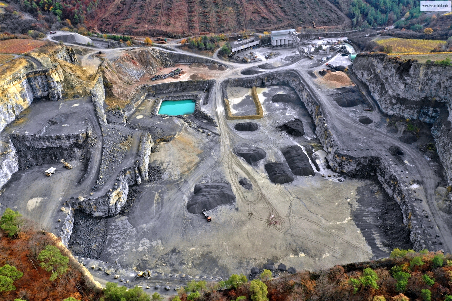
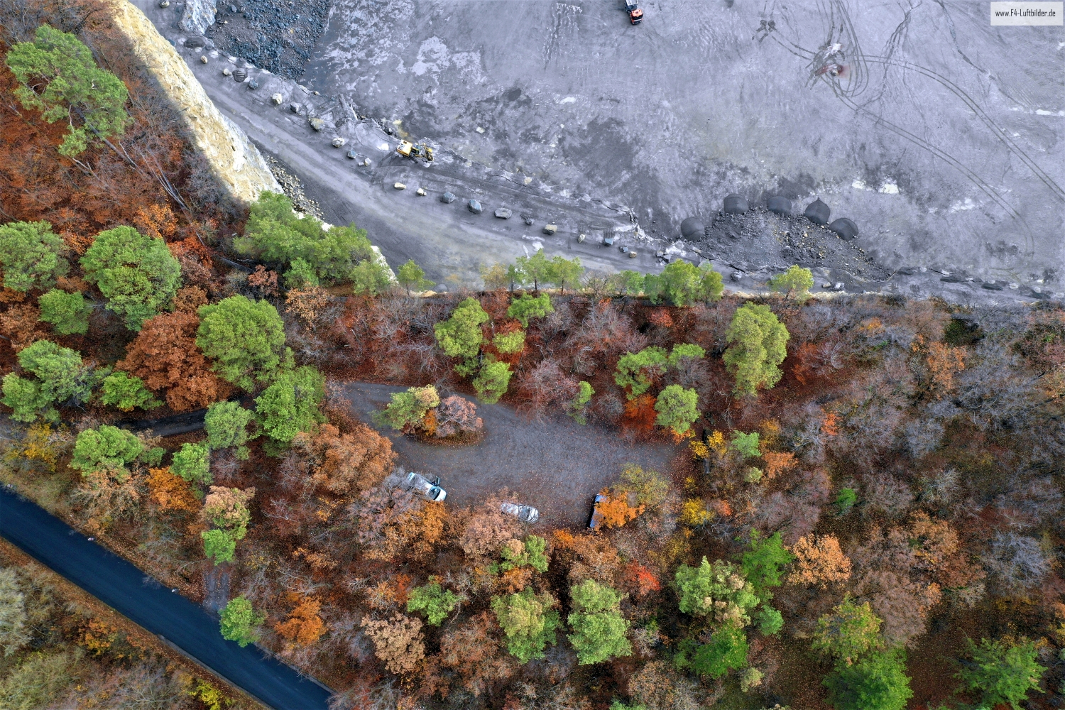
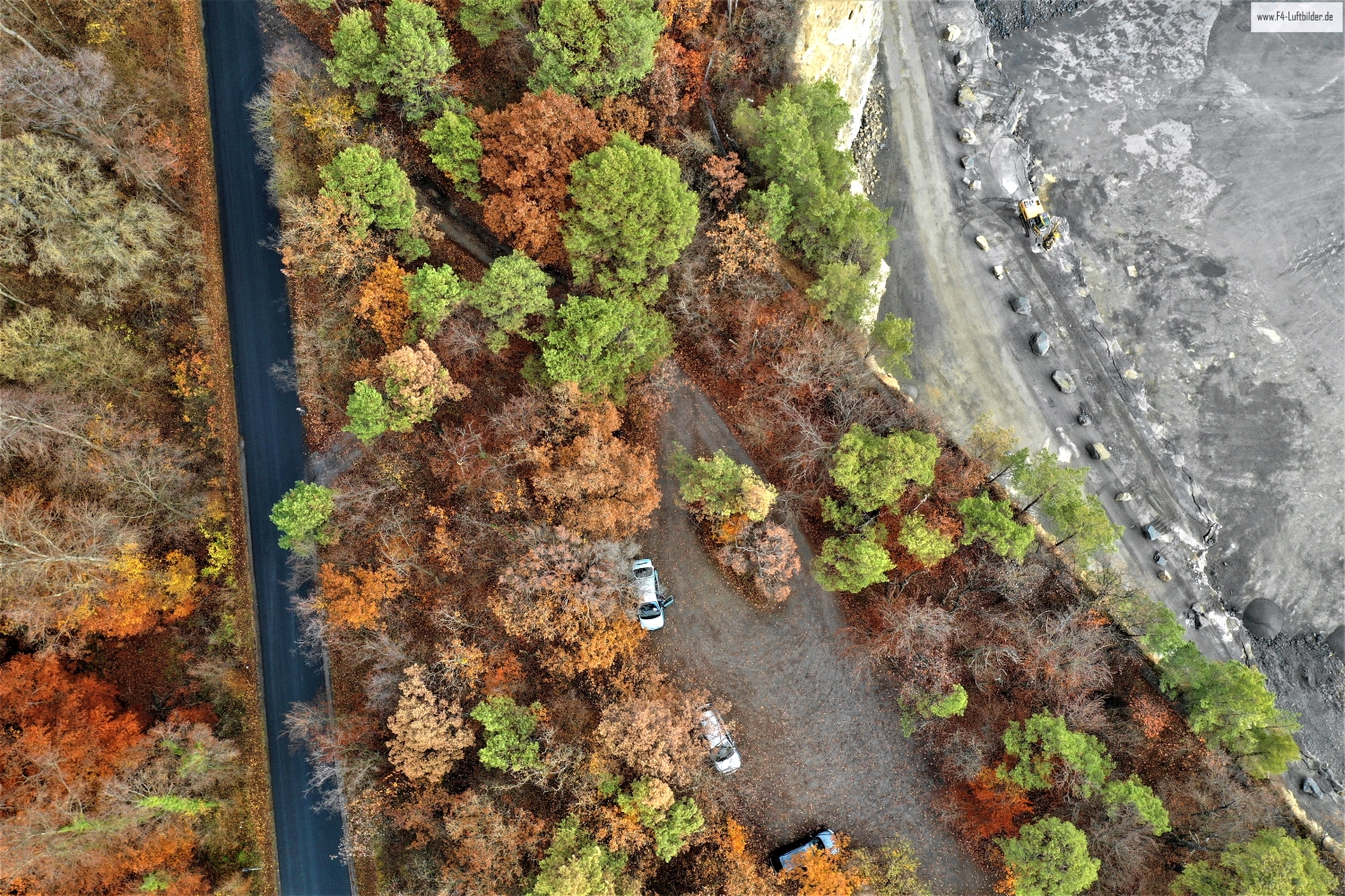
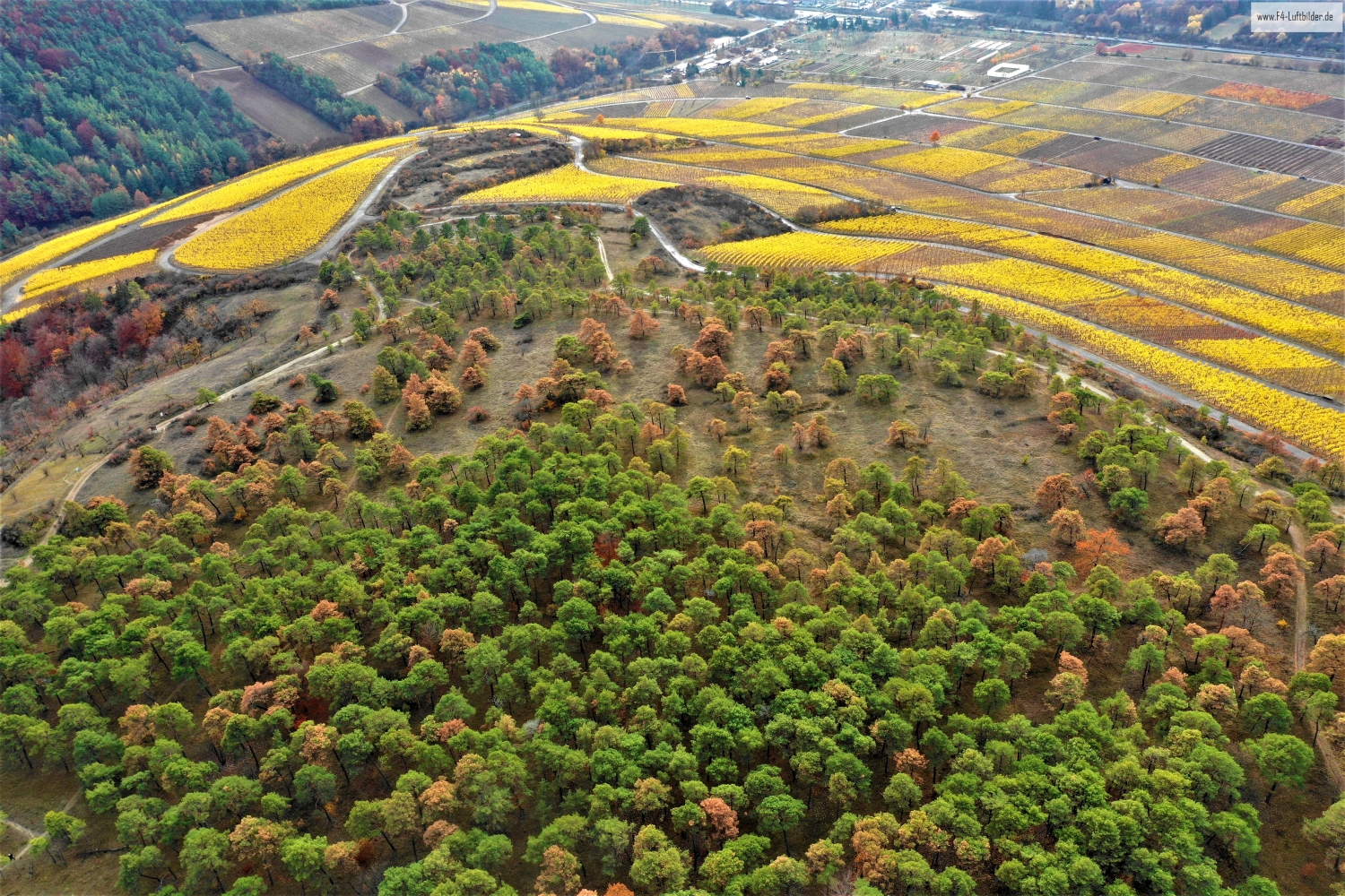
Hohfeldplatte and Scharlachberg alternating areas
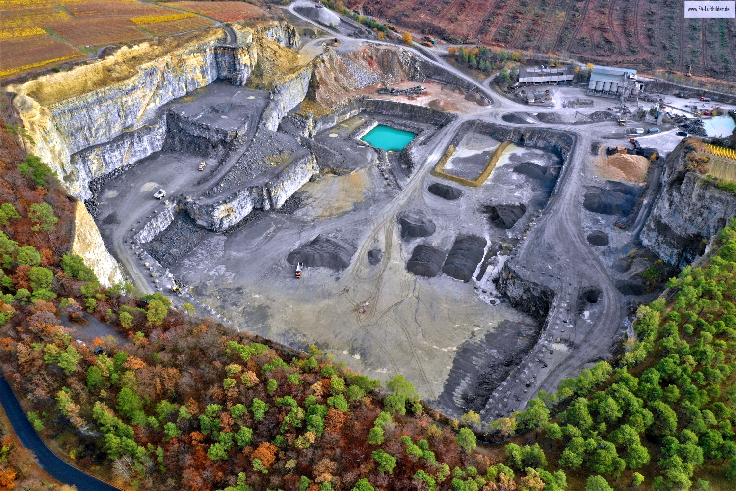
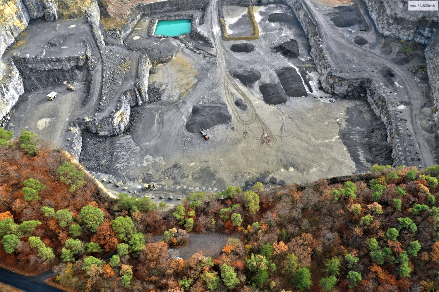
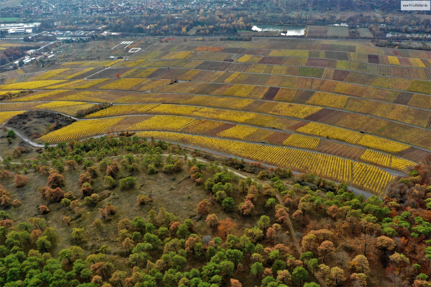
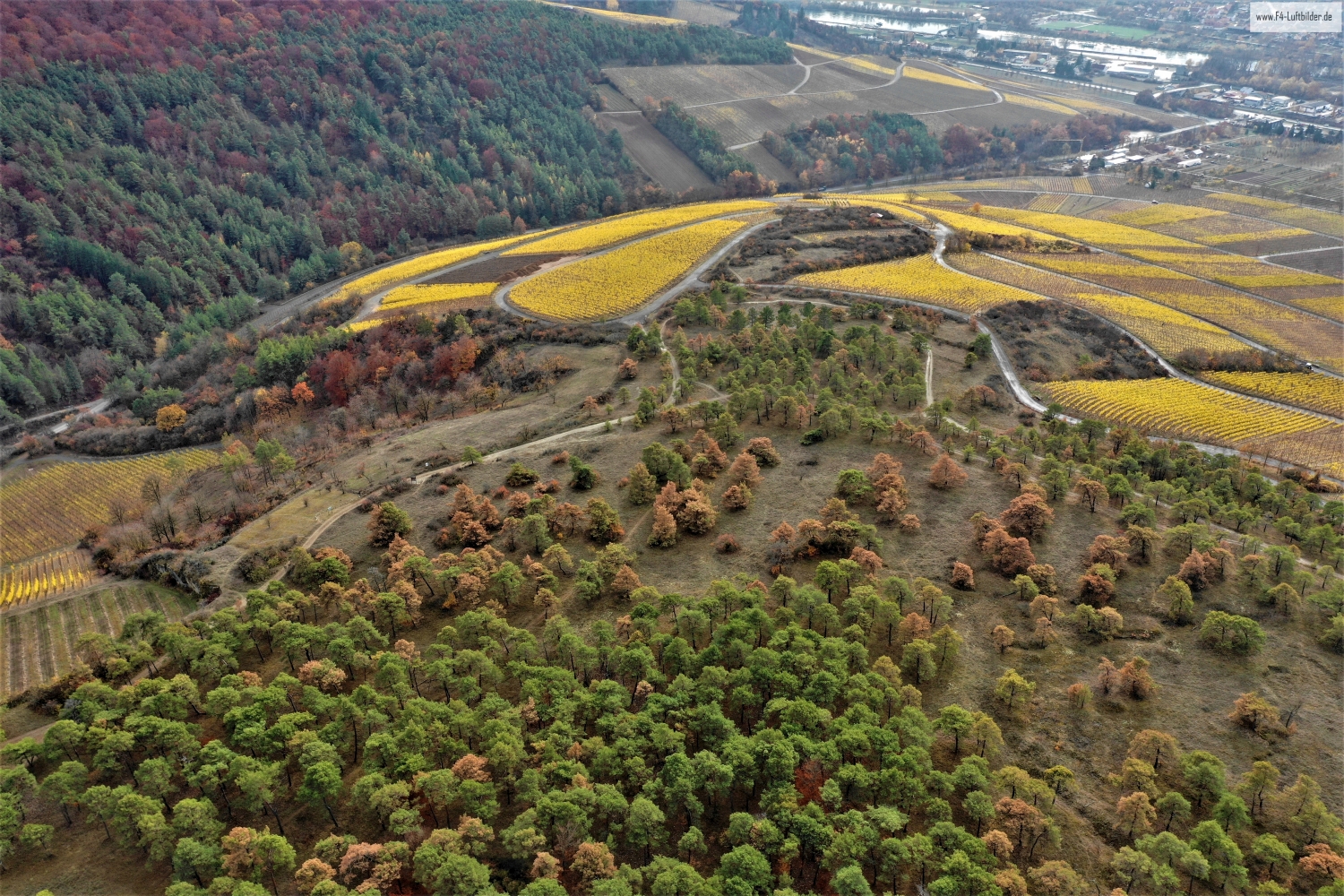
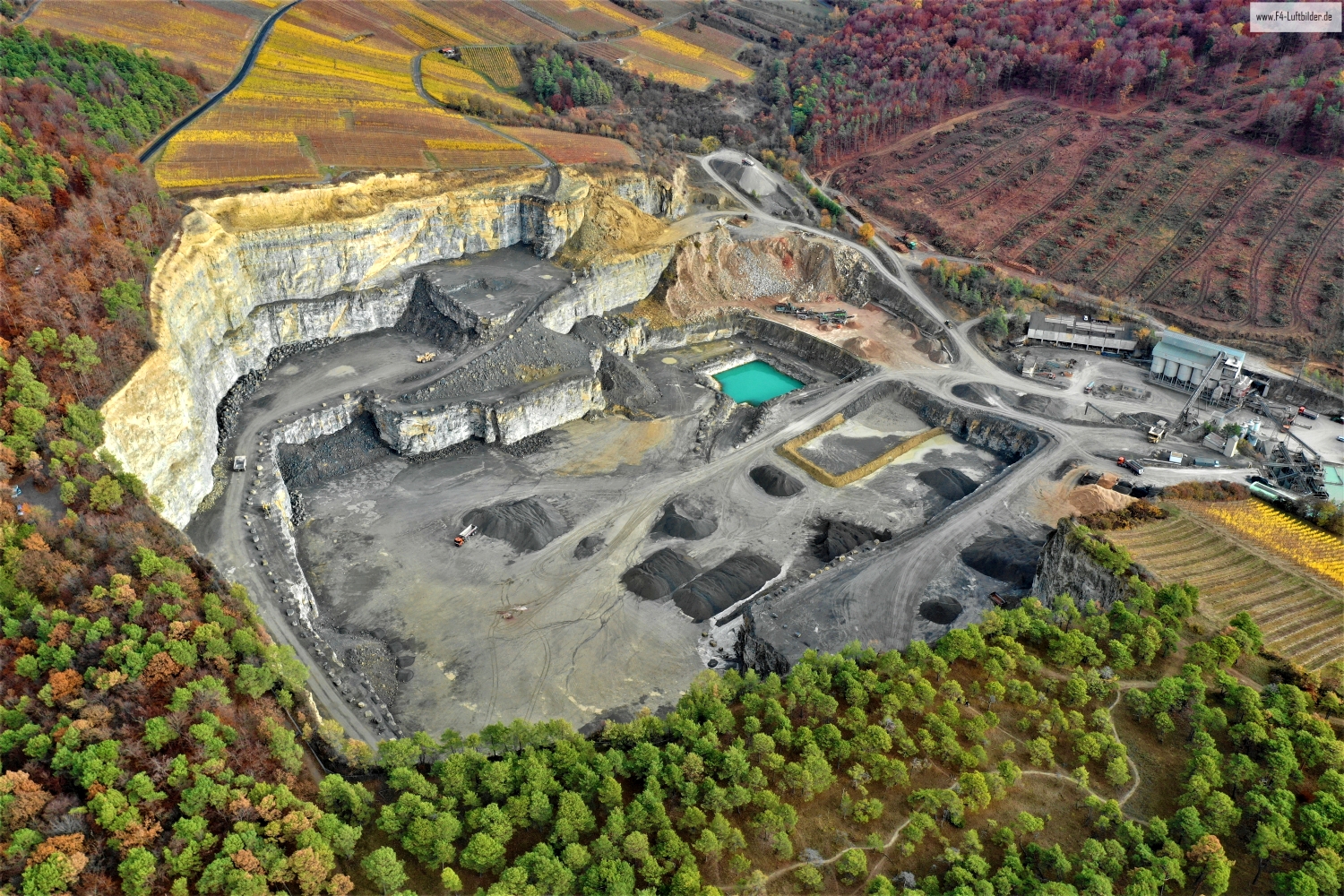
In the landscape of Hohfeldplatte and Scharlachberg, structured slopes regularly meet open areas of rock. In the aerial photo, their edges can be traced across the vegetation. The contrast of the surfaces tells more here than an isolated view of the horizon.
Rock and cultivated slope
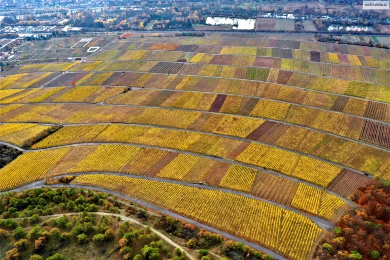
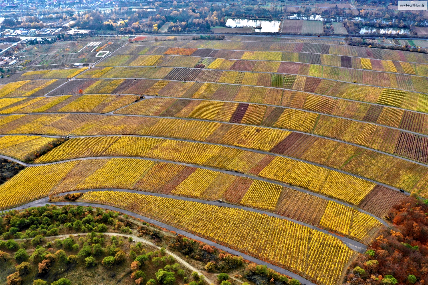
On the Hohfeld plate, the surfaces change in a small space. Rows of vines create a recurring direction, while rock edges break off and lead the view back to the terrain.
Rock surfaces are often harder to read in an aerial photograph than their sharp outline suggests. A dark area can be a deep crevice or just in shadow. The connection of several visible edges provides information. Where they converge and cover a surface, a spatial jump is understandable. A location with clear rock contours is suitable for publication with smaller images. In a larger format, the eye can wander more over the finer differences in the surface.
The direction of the vine rows
Rows of vines make the slope of a slope visible in a special way. They run across the area, change direction at a plot boundary or end at an embankment. From the air, their order can be observed over a large distance. An oblique view also shows how high the cultivated areas are above the valley. When selecting images, a combination with a fixed reference point is helpful, such as the edge of the town or an easily recognizable path through the slope.
The graduation of the mountain ranges
The silhouette of a mountain range is a good way to start looking. First you notice the highest point, then the succession of saddles and flatter sections. In an oblique shot, this profile connects with the shapes in the foreground. A steeper perspective takes more interest in the surface of the slope. A direct comparison makes it understandable why a location can change significantly when the viewing angle changes, even though the recognizable heights in the background remain the same.
Warm tones within the series
If you browse through the 10 aerial photos, you can stay at shot 4 and shot 1 for a comparison. In the second view, warm reds and browns have more weight than in the first. Red-brown and yellowish areas are particularly noticeable next to cooler surfaces. What is interesting when comparing is whether they are concentrated on a single object or appear spread out across the entire view.
For shot 10 and shot 6, the same day is noted in the image files, November 12, 2018. The recording times recorded are about a minute apart. The exposure time was 1/160 second for the first of the images mentioned and 1/120 second for the second.
Show the proportions of the landscape
For a series of natural history images, an observable form is the best starting point. Where does a surface end, what structure continues next to it, and how much environment do you need to tell the two apart? The questions can be followed directly from the photo. Statements about origin, depth or age, however, require additional sources. An aerial photographer can capture the visible traces and draw attention to a detail. In the later caption you can then clearly explain what can be seen in the photo and what comes from the technical classification.
Related motifs in the aerial photo archive
If you are looking for related motifs, you can start with Karlburg. In the series about Karlburg, rugged rocky areas meet more densely wooded sections. It's worth taking a second look at Marienberg Fortress. The Marienberg Fortress lies high above Würzburg.
When you look at Karlburg, you can delve deeper into a detail. At Karlburg the Main changes its role in the picture. First, the water forms the background for the rock, then the bank itself becomes the line on which the photograph is oriented.