 F4LUFTBILDER
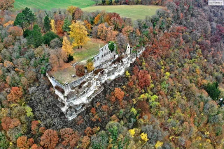
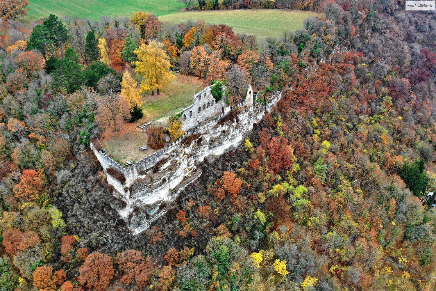
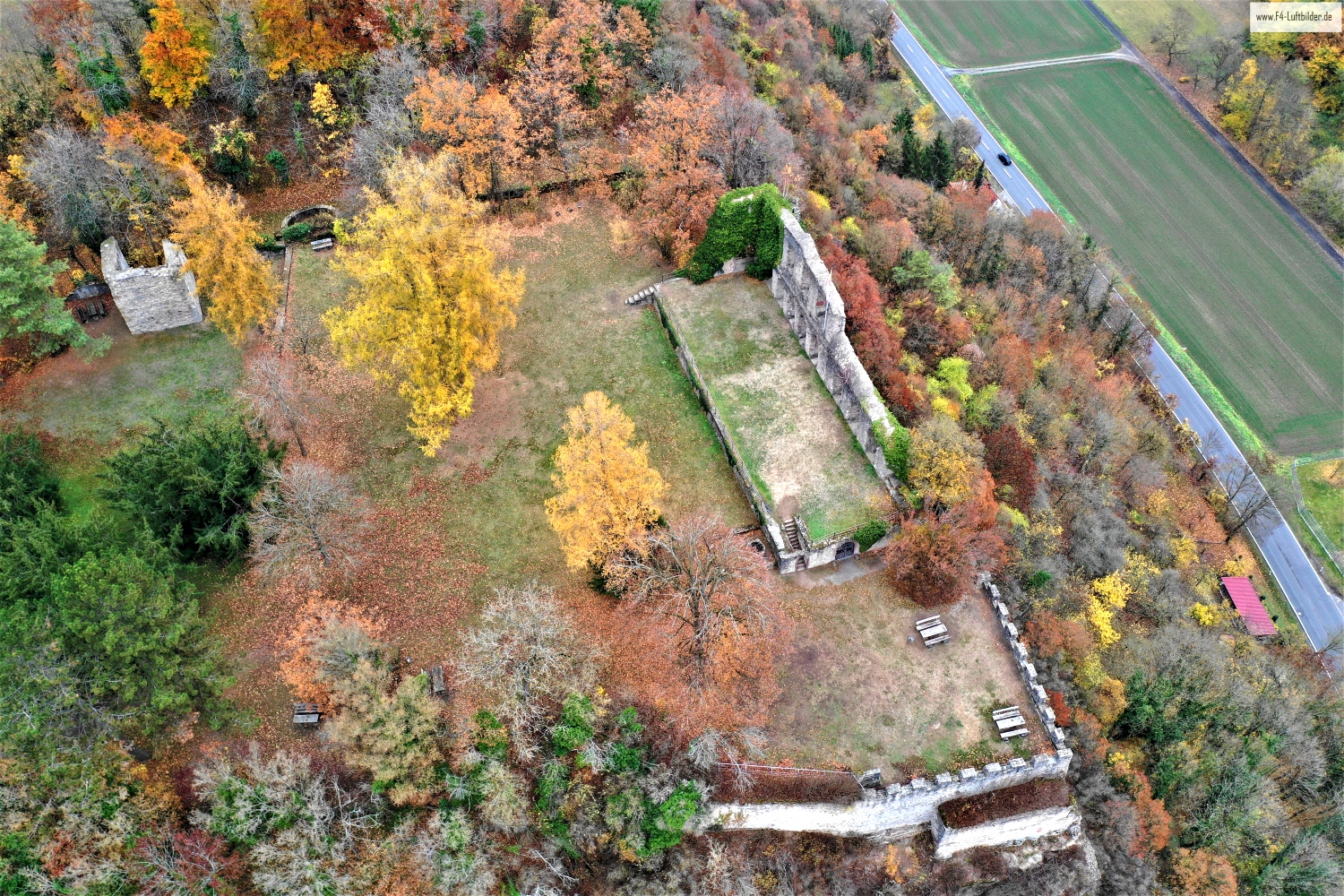
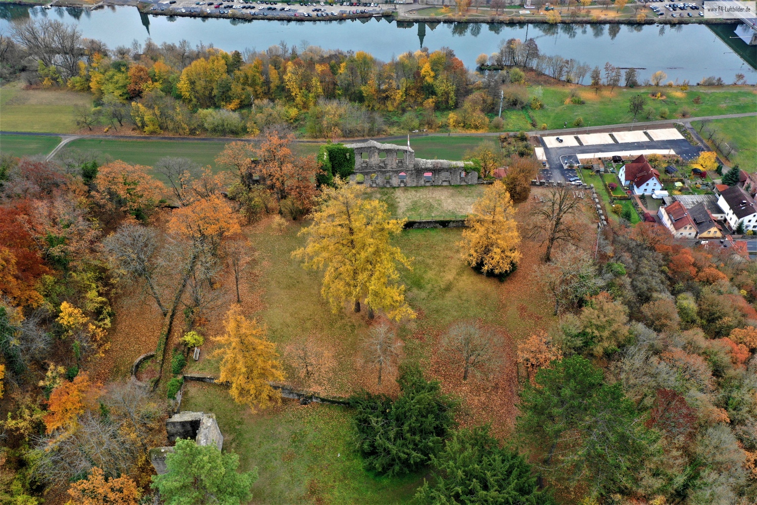
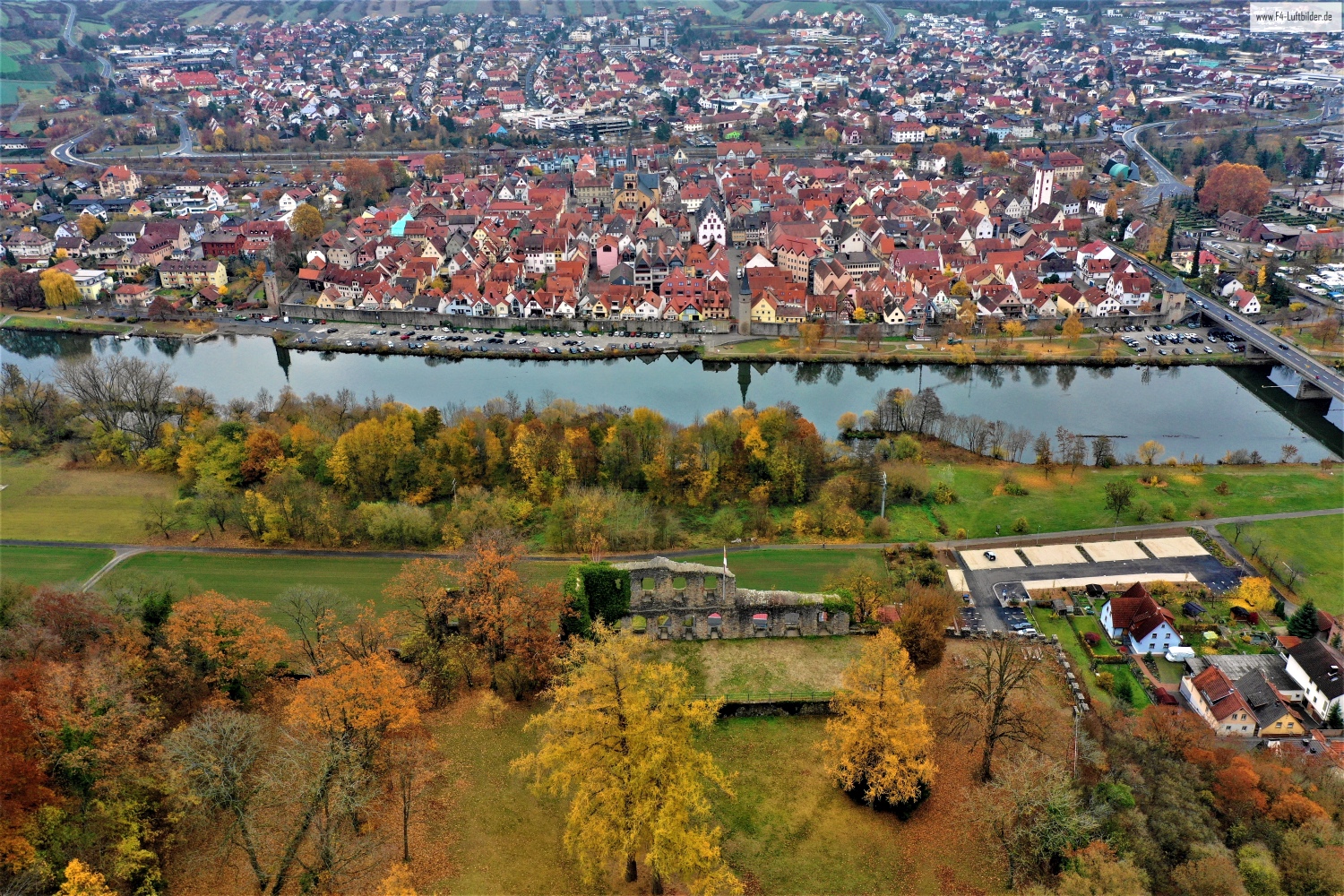
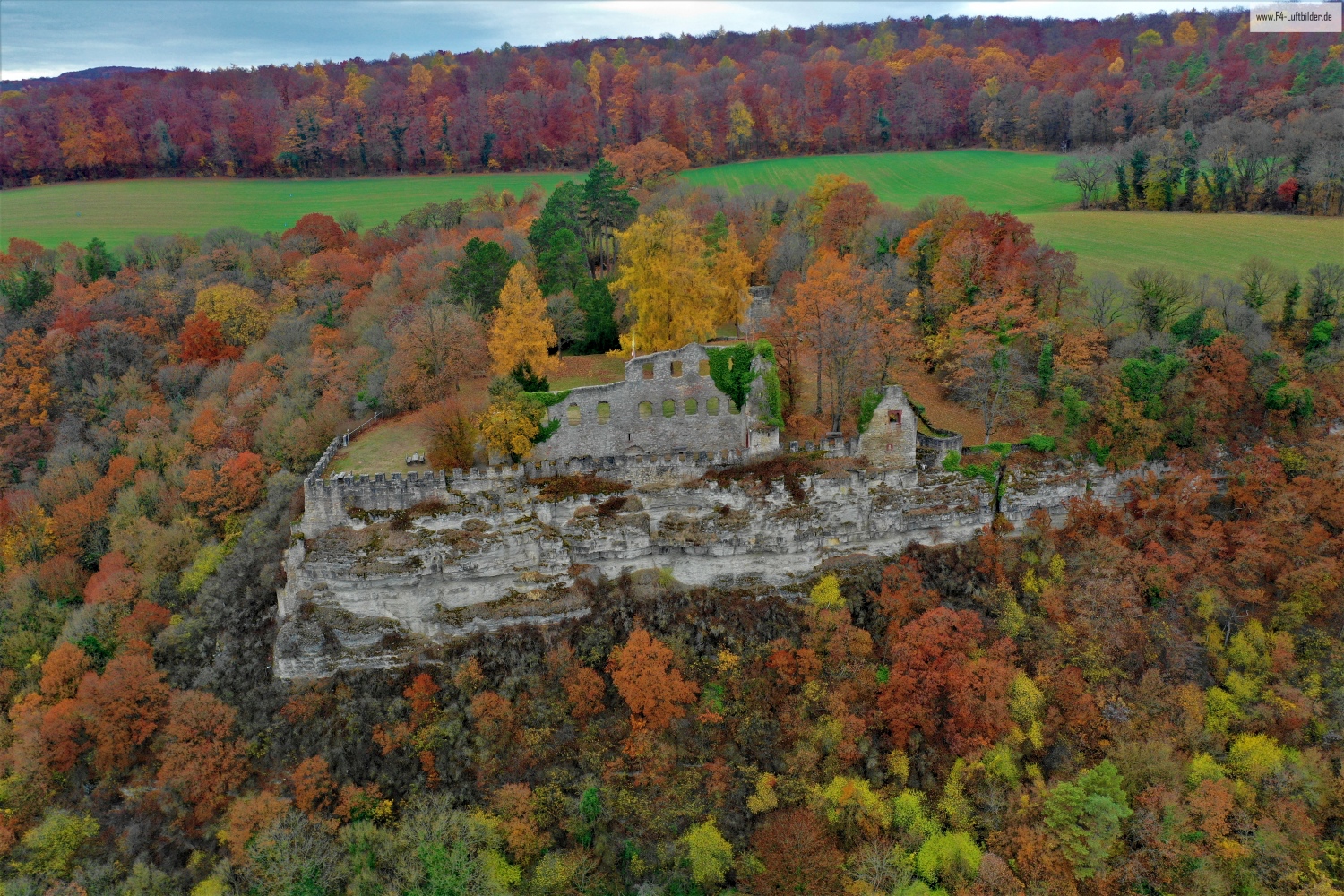
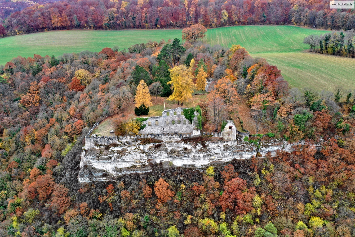
Karlburg between rock, forest and Main
In the series about Karlburg, rugged rocky areas meet more densely wooded sections. The Main becomes visible through gaps in the vegetation. These brief glimpses of the water help to understand the elevated position and the proximity to the valley.
The height above the Main
At Karlburg the Main changes its role in the picture. First, the water forms the background for the rock, then the bank itself becomes the line on which the photograph is oriented.
Rock surfaces are often harder to read in an aerial photograph than their sharp outline suggests. A dark area can be a deep crevice or just in shadow. The connection of several visible edges provides information. Where they converge and cover a surface, a spatial jump is understandable. A location with clear rock contours is suitable for publication with smaller images. In a larger format, the eye can wander more over the finer differences in the surface.
What the treetops reveal
A forest changes the view of every structure and every path that lies on its edge. From one side the treetops cover the lower area, from another a small gap opens. Photos in which the boundary between open space and vegetation can be clearly seen are particularly interesting. They explain which parts of a motif are visible. In a description, it is possible to distinguish precisely between the section depicted and the terrain hidden by the foliage.
Follow the watercourse in the picture
At the river it is worth taking a second look at both edges of the picture. Sometimes a road ends there and continues along the water in the next section. In another place, a line of trees frames a stretch of bank. Such clues connect the place with its river valley. For a double page spread, you can choose an overview showing the course and juxtapose it with a close-up view of the shore. It helps if at least one bend in the bank or a building can be found in both motifs.
Differences in brightness
For a direct image comparison, use shot 5 and shot 2 from the gallery with 6 aerial photos. The first shot is darker overall. In the second, brighter areas of the image take up more space. A bright foreground draws the eye to a different place than a large, dark image area. This can be easily followed when switching back and forth between views.
According to camera data, Shot 6 and Shot 4 were taken on November 12, 2018. There is a gap of around one minute between the two images. The exposure time was 1/60 second for the first of the images mentioned and 1/80 second for the second.
Show the proportions of the landscape
It is easy to overestimate the size of a shape in a landscape painting. A bright spot may be a small open area or show an extensive portion of the terrain. When selecting images, a comprehensible reference point is therefore more important than the most dramatic perspective possible. If present in the motif, a path or a clearly recognizable shoreline can take on this task. An aerial photographer can also relate an overview and a single view. Readers are then given an idea of the location before viewing the surface up close.
Related motifs in the aerial photo archive
The article Henneburg offers another perspective. The Henneburg stands high above the Main near Stadtprozelten. In the gallery Hohfeldplatte and Scharlachberg there is a different focus. In the landscape of Hohfeldplatte and Scharlachberg, structured slopes regularly meet open areas of rock.