 F4LUFTBILDER
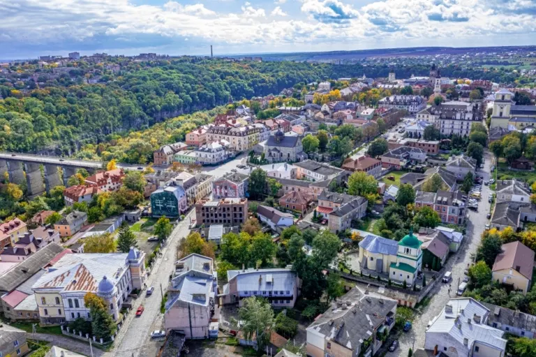


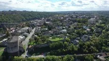
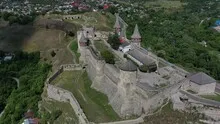
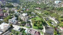
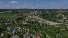
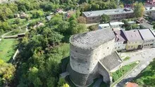
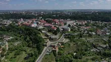
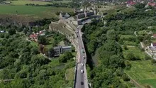
Fortress and terrain cut in Kamianets-Podilskyi
The towers of the Kamianets-Podilskyi fortress can be individually distinguished up close. In the further view it is the cut in the terrain that explains their location. The city and the fortified complex occupy clearly different places within it.
Towers above the terrain cut
At Kamianets-Podilskyj, the deep cut around the old town is crucial for understanding the fortress. If only one tower is visible, its position remains unclear. A supplementary image with a bridge, terrain and neighboring town organizes the detail spatially.
When looking at a castle, it is worth looking at the roofs and the spaces between them separately. A large roof wing initially attracts attention. In addition, a courtyard or a narrow passage can show much better how the parts of the system are connected. An oblique aerial photo also gives an idea of their altitude. With a narrower section, a piece of outer wall or slope maintains orientation and allows the building to remain visible in the context of its location.
The shape of the rock in the light
Rock surfaces are often harder to read in an aerial photograph than their sharp outline suggests. A dark area can be a deep crevice or just in shadow. The connection of several visible edges provides information. Where they converge and cover a surface, a spatial jump is understandable. A location with clear rock contours is suitable for publication with smaller images. In a larger format, the eye can wander more over the finer differences in the surface.
What the roofs reveal about the floor plan
A city center can often be read by its roofs. Where narrow gables are close together, the street space is also divided into short sections. A large, connected building interrupts this sequence. In the aerial photo you can follow the direction of an alley from such an interruption. For an illustration in a smaller format, a section with just a few easily distinguishable roof groups is worthwhile. In a large print, however, the spaces and small changes in direction are allowed to keep their place.
The distribution of blue tones
For a direct image comparison, use shot 5 and shot 7 from the gallery with 13 aerial photos. In the first excerpt, shades of blue play a smaller role. In the second shot, blue areas take up more space. Blue can extend over a large contiguous area or only appear in individual parts. What also counts for the effect is whether these areas extend to the edge of the picture or surround the main subject.
According to camera data, Shot 1 and Shot 13 were taken on October 2, 2022. There is a gap of around 13 minutes between the two images. The exposure time was 1/320 second for the first of the images mentioned and 1/500 second for the second.
In the Aerial Videos section there are 7 clips for this article. An example is “Kamianets-Podilskyi Castle in Ukraine”. Its preview leads directly to the video in the aerial photographer's Adobe Stock portfolio.
Communicate architecture and location together
For a post about a building, two captions can fulfill very different tasks. The first names the system and explains its location, the second leads to a visible component. Historical construction phases or previous uses can hardly be determined from the roof color and current wall edges alone. However, an aerial photographer can show precisely which parts will actually be visible in the later photo. For a guide or local chronicler, this separation makes it easier to work with people who know the local building history.
Related motifs in the aerial photo archive
The article Berat & Berat Castle offers another perspective. Above Berat, the red roofs and the rocky castle hill set two different standards. In the gallery Burg Rheinstein there is a different focus. Rheinstein Castle lies above the Rhine on a rocky outcrop.