 F4LUFTBILDER
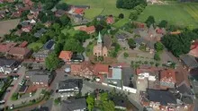
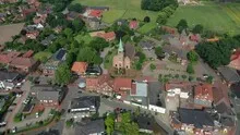
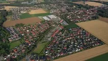
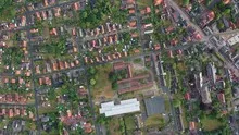
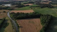
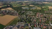
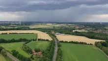
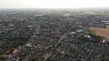
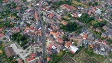
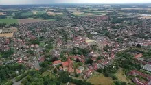
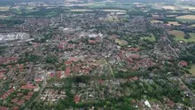
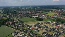
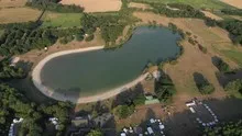
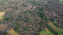
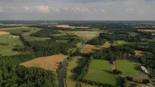
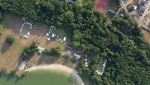
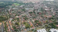
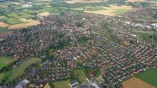
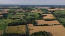
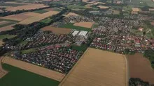
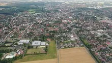
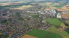
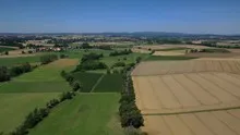
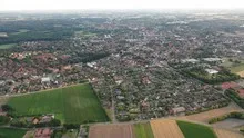
Image motifs for Lower Saxony
For a portrait of Lower Saxony, the F4 archive includes views from Vechta, Goldenstedt and Twistringen, among others. The town centers are close to agricultural areas. Even a brief change of perspective decides whether an aerial view explains the business district or its integration into the landscape.
Compare places in Lower Saxony
In Lower Saxony, Goldenstedt and Vechta show how different the image of the country and the city can be. The water surface and the denser urban structure give the respective location its own focus.
A picture from a large region becomes particularly interesting for readers if they can assign the specific location. A well-chosen addition to the place name is often sufficient, such as the section of the river or the location of a building in the city. Several such images can work together to create a regional portrait. A conscious selection of different motifs is helpful. A city view, a view from the open landscape and a concrete building together tell more than several almost identical panoramas.
How the place changes from the inside out
The center of a town can often be recognized from the air by the intersection of several streets. These lines diverge towards the open landscape, the properties become longer and the distances between the houses become larger. Anyone who chooses an image for a location portrait can pay attention to these transitions. A motif with a piece of the surrounding area tells where the place is. A narrower shot, on the other hand, gives people who live or have lived here more opportunities to find familiar buildings in the picture.
Start the image search from the intended purpose
The starting point of an image search can be a specific spatial question. If the image is intended to explain the location, a wide view with reference points makes sense. If it is about a single building, its shape may take up more space in the section. Before making your selection, it is worth comparing the size you plan to use later. A photo that has its strength in small details in a large format can be significantly less understandable in the narrow column of a website.
In the Aerial Videos section there are 24 clips for this article. An example is “Vechta in Lower Saxony from the air”. Its preview leads directly to the video in the aerial photographer's Adobe Stock portfolio.
Select the image suitable for publication
Before making your final selection, a simple test with the intended page format will help. Anyone who looks at the picture for the first time should be able to quickly find the subject they are looking for and understand its relationship to the surroundings. A larger file alone hardly solves this task. The direction of view and the space around the main subject also count. An example from the archive is therefore helpful for an inquiry to the aerial photographer. This picture shows which part is particularly important and which additional view is still missing for your own project.
More aerial photos for comparison
The article Goldenstedt offers another perspective. The Goldenstedter series shows the near edge of a body of water as well as open fields and loosely built-up settlement areas. In the gallery Vechta there is a different focus. In Vechta, the agricultural area extends right up to the residential areas.
When you look at Goldenstedt, you can delve deeper into a detail. In Goldenstedt, the water surface gives the view over the field a second focal point. A bank edge or a path helps to estimate the distance to the built-up area.
Another connection can be seen in the selection of images for Vechta. In Vechta, the contrast between the city and the agricultural environment on the outskirts is particularly clear. This is where narrow roof plots and extensive fields meet directly.
Aerial photographer Lower Saxony
F4 Luftbilder – your freelancer for aerial photography throughout Lower Saxony
Offer
30 aerial photos
5 aerial videos
Different perspectives
Image editing / video editing
Unrestricted usage rights
Free travel throughout Hesse
Convenient delivery via download
Short-term processing in 5 working days
250 €
including 19% VAT.
Inquire now!Phone & WhatsApp
+49 151 211 511 71
info@f4-luftbilder.de
Contact form
property
I will stage your property perfectly. Discover your property from a completely new perspective and present your property in a modern and contemporary way. Ideal for selling your own house, for real estate agents & architects, as a gift or just for yourself.
 License on Adobe Stock
Inspections
Have your inspection done from the air - my experience will help you broaden your perspective on your property. Take advantage of the benefits of air monitoring and reduce your maintenance costs. Ideal for operators of wind turbines and solar cells.

tourism
Boost tourism: Present your tourism business from a whole new perspective. With aerial photos you can score points in tourism advertisements and highlight your service. Ideal for all types of tourism businesses.

Properties
Showcase your entire property with a single overhead shot and give potential buyers an overall view of your property. Ideal for architects, property sellers and real estate agents.
 License on Adobe Stock
Cities & Places
Give your visitors a bird's eye view of your city or town. Give you an overview of your location and use high-quality images for flyers or your own homepage to boost marketing. Ideal for marketing departments of cities and municipalities.
 License on Adobe Stock
Damage report
If damage to buildings or building components occurs, quick and careful action is required. I will help you use high-resolution aerial images to substantiate damage and claims in the construction damage report. Ideal for property owners and building damage assessors.

Would you like to buy existing aerial photos?
You can search here!