 F4LUFTBILDER
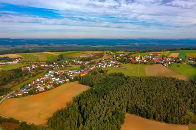
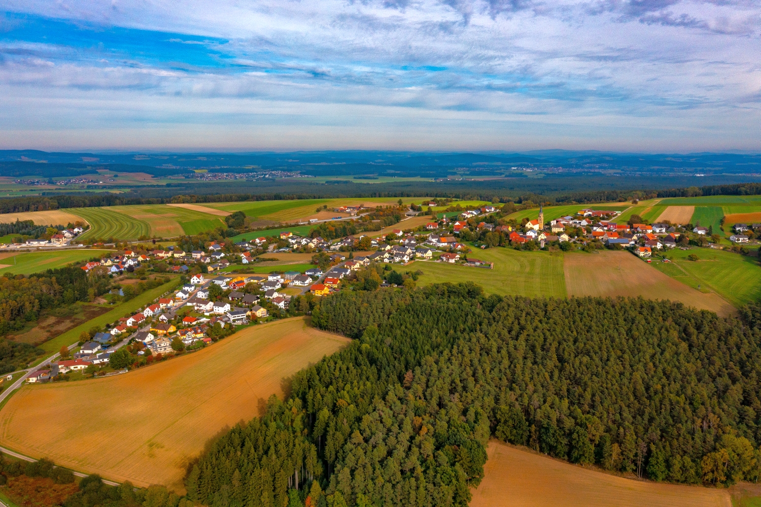
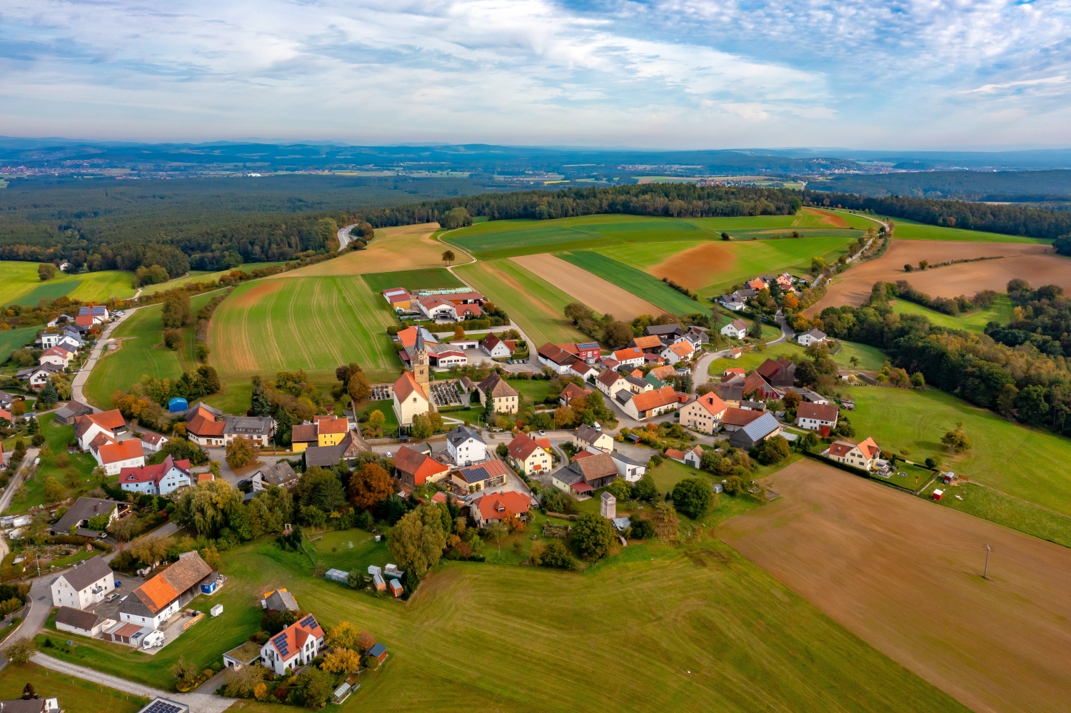
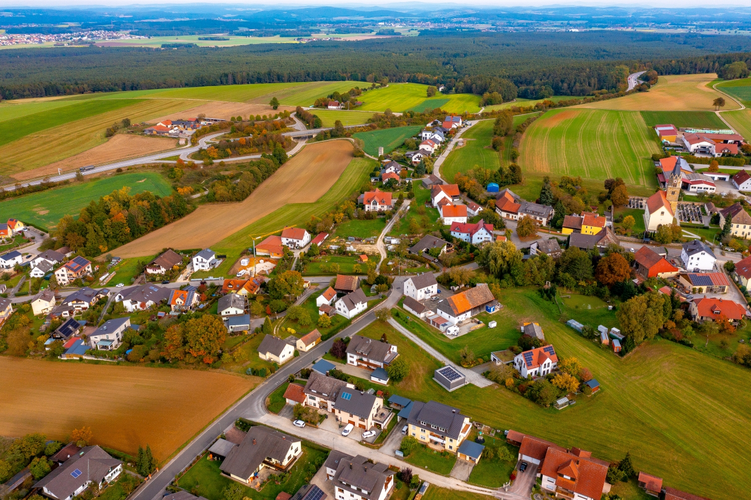



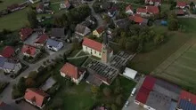
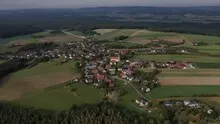
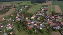
Farms and field paths around Pittersberg
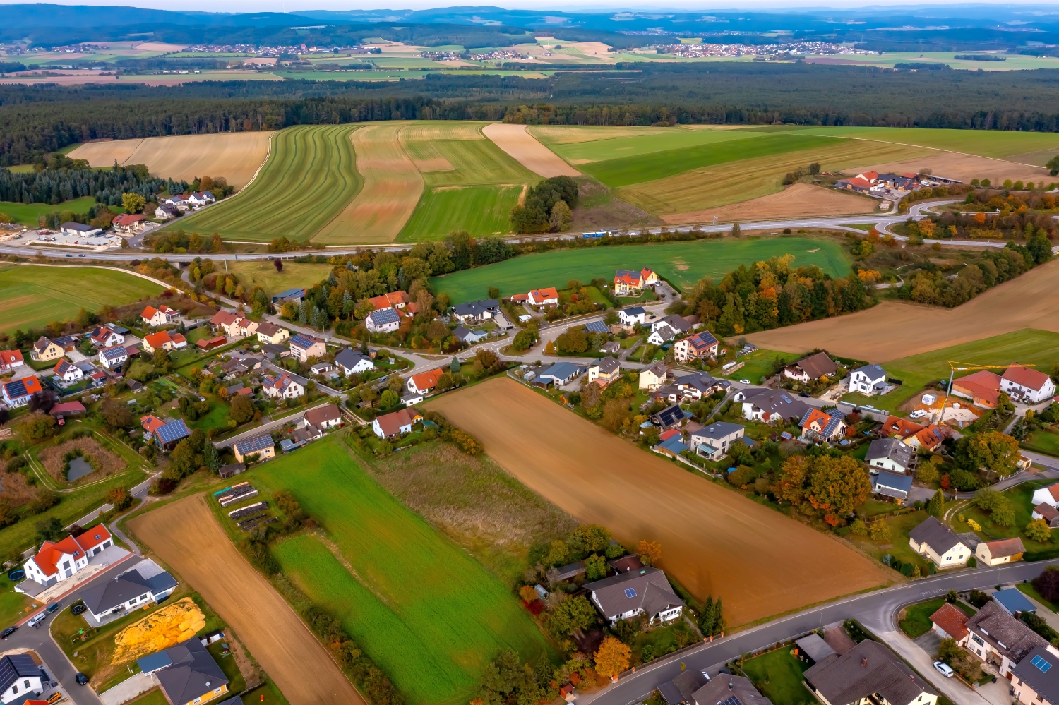
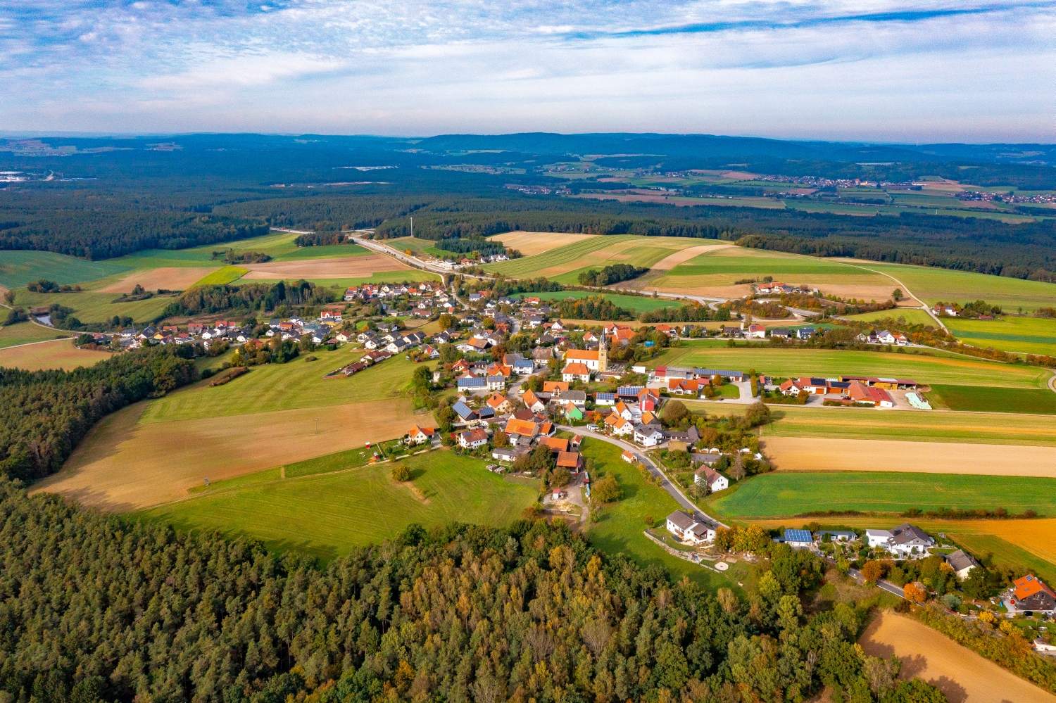
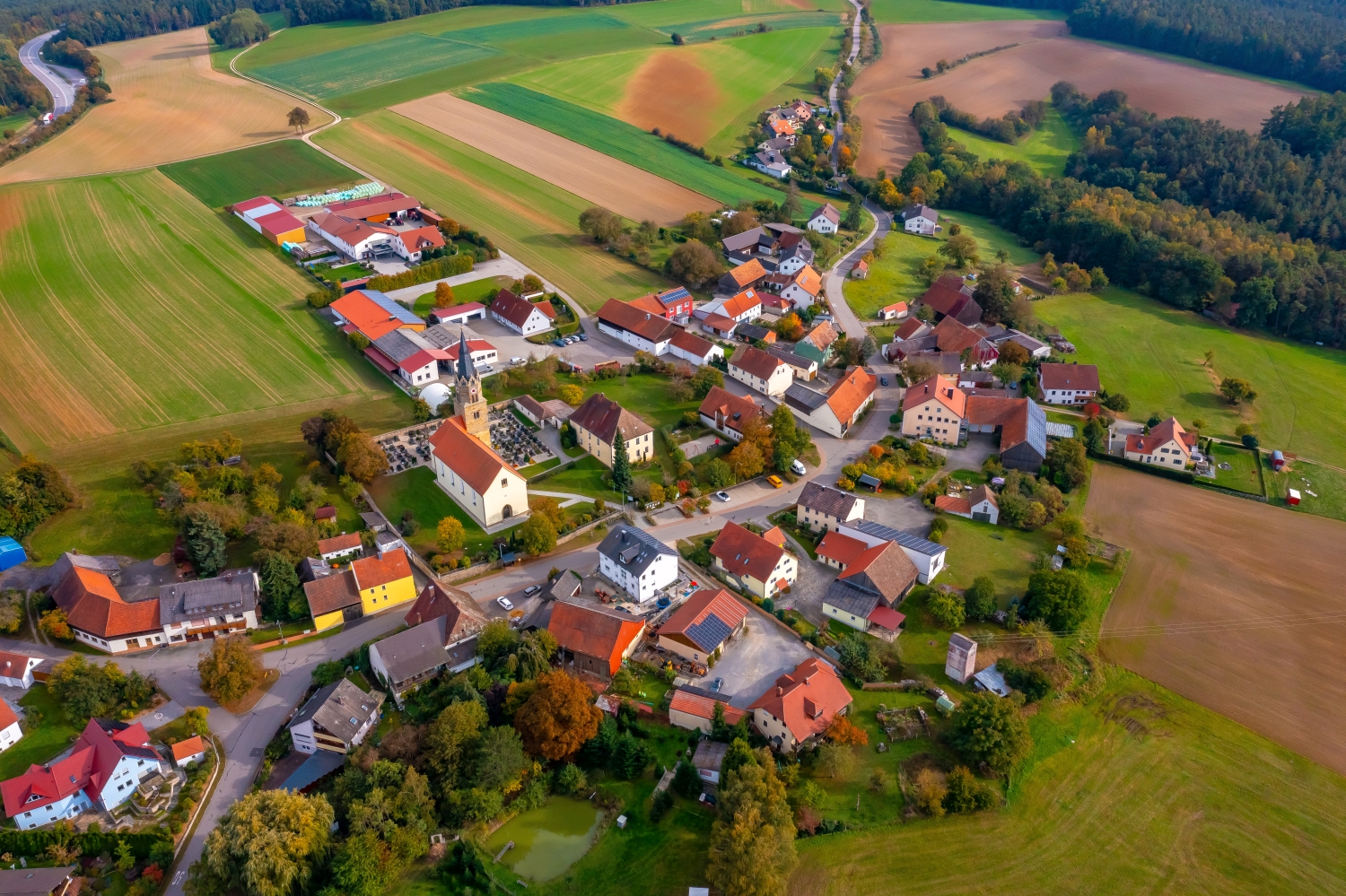
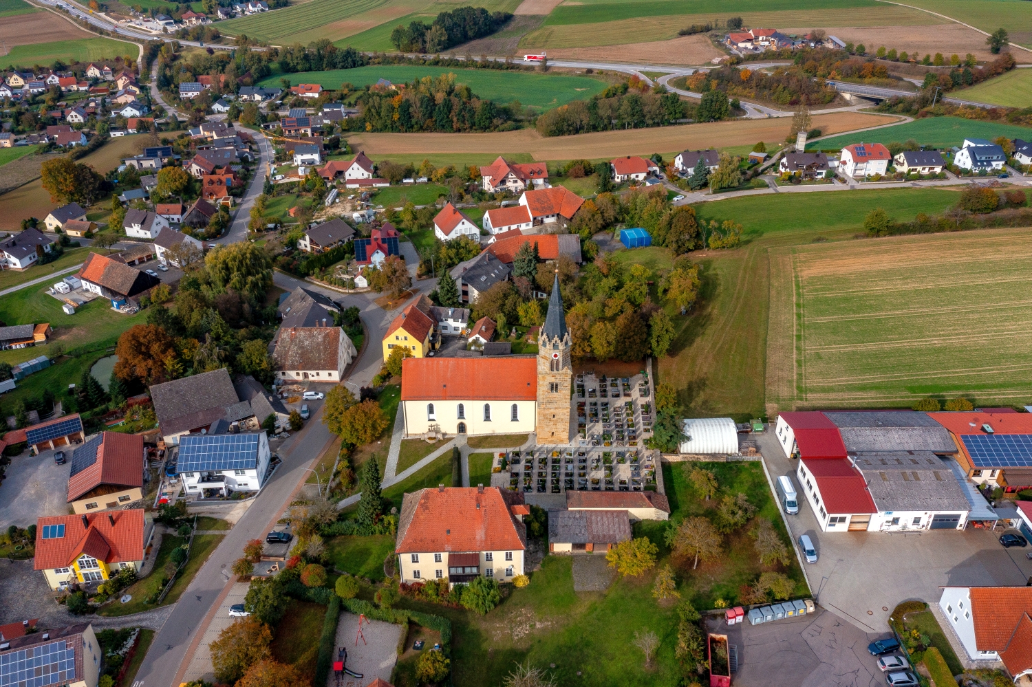
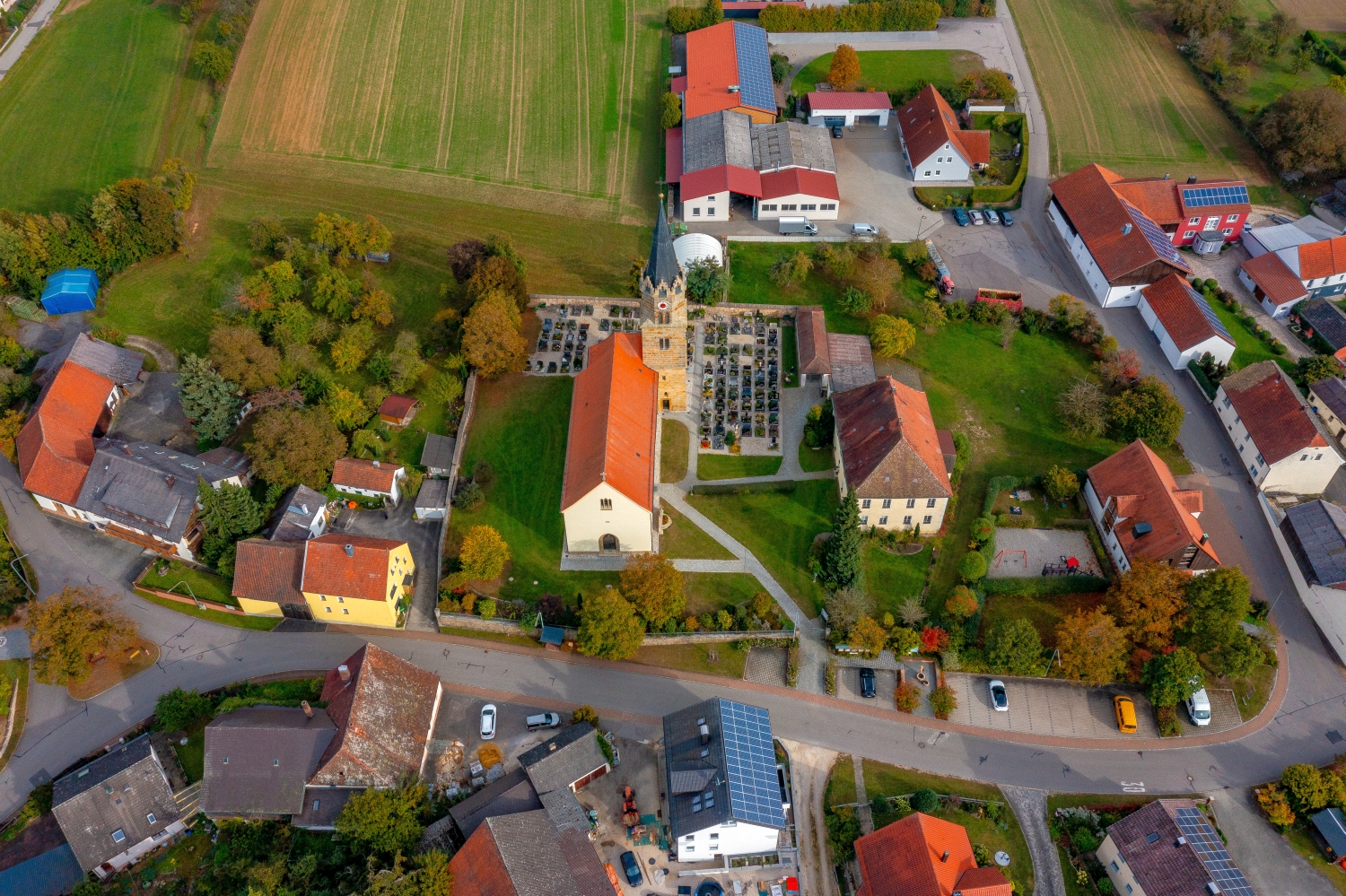
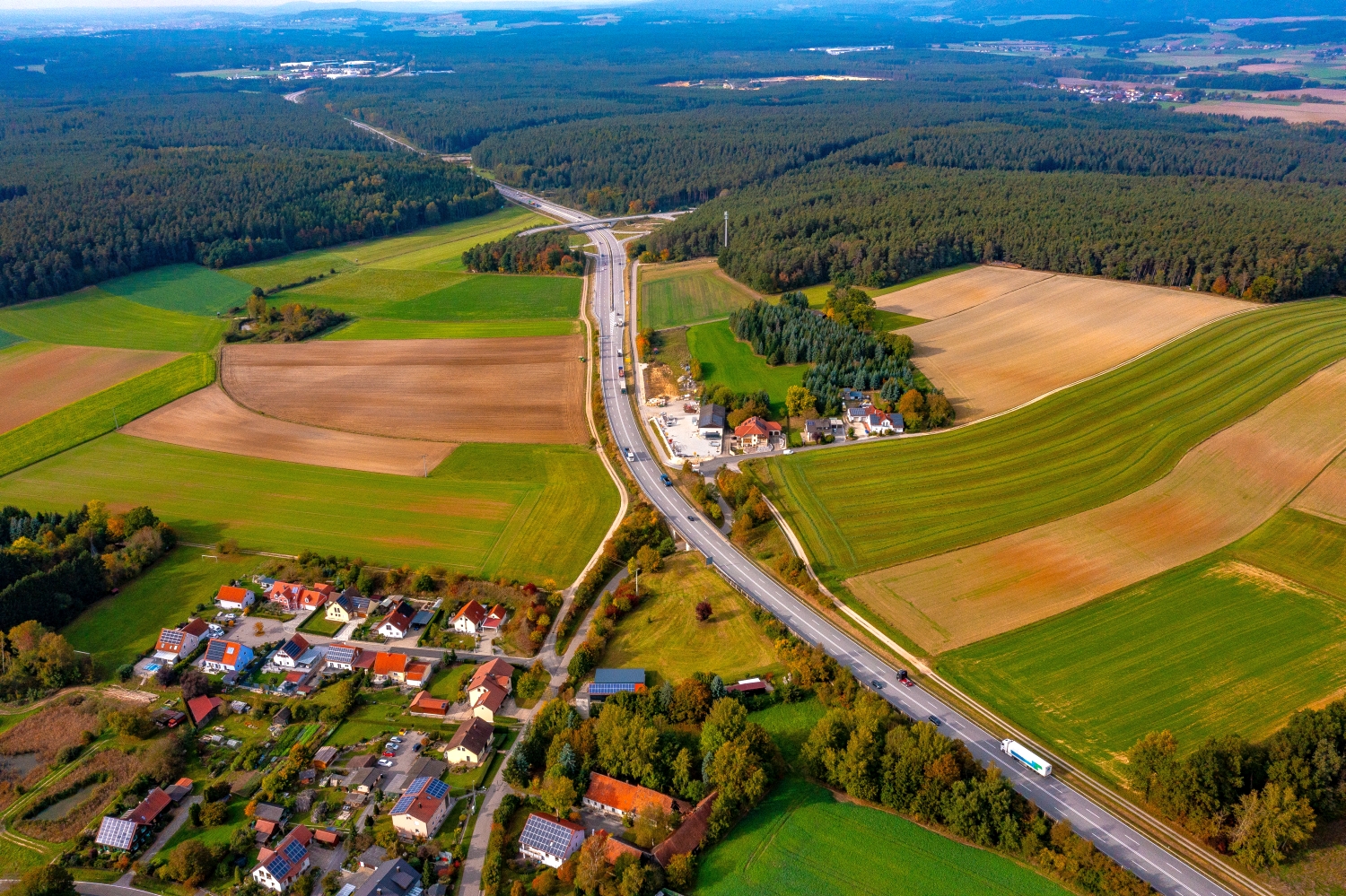
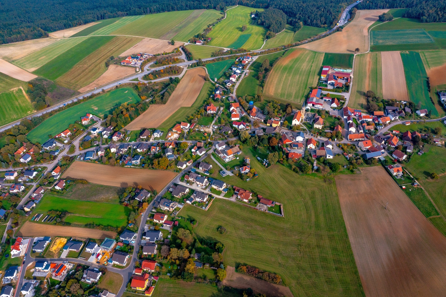
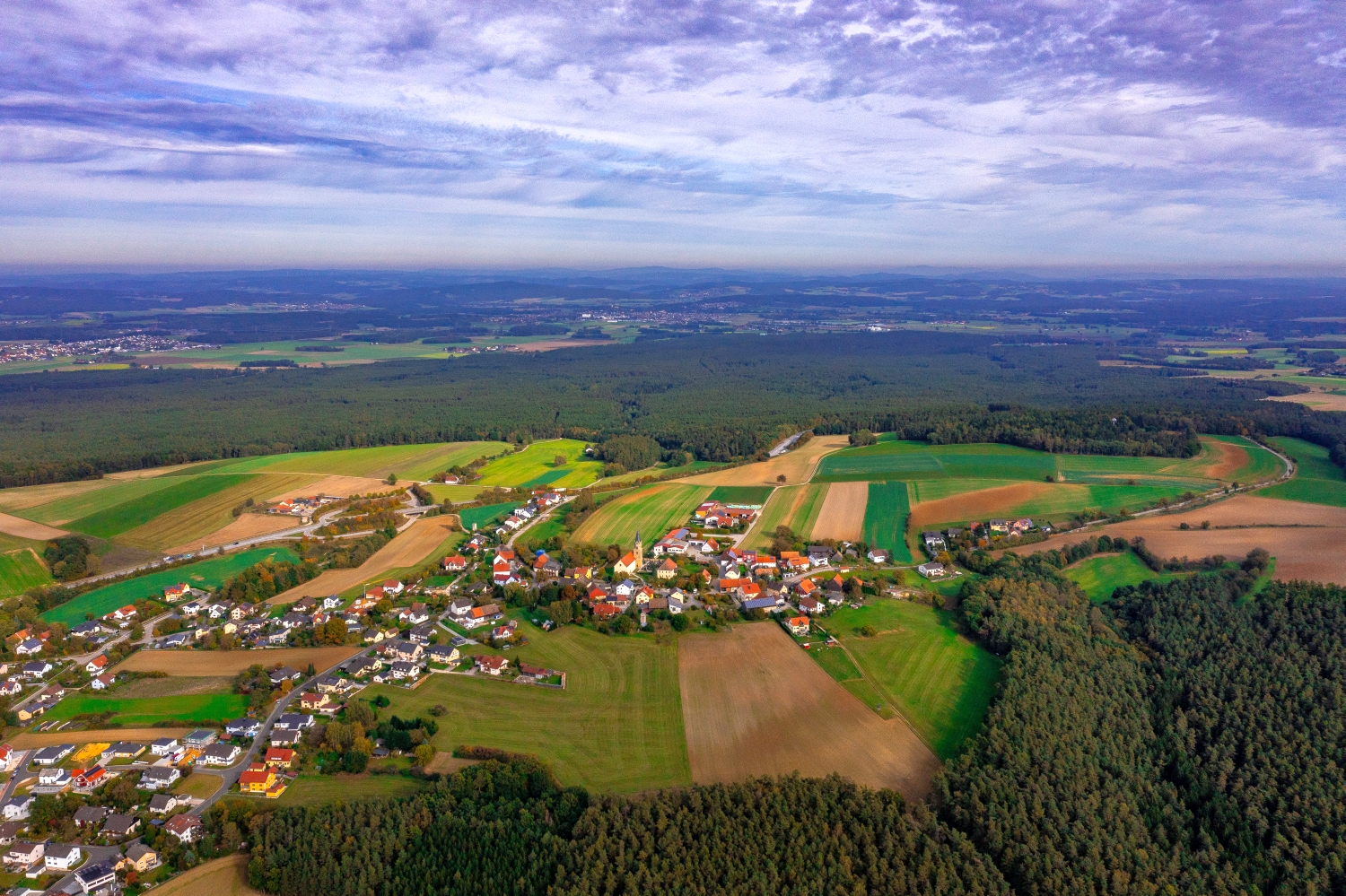
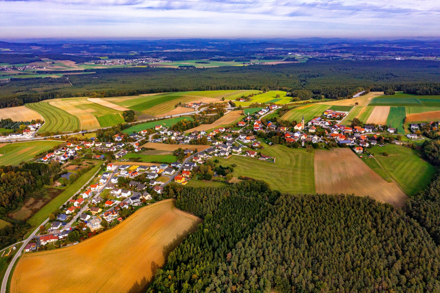
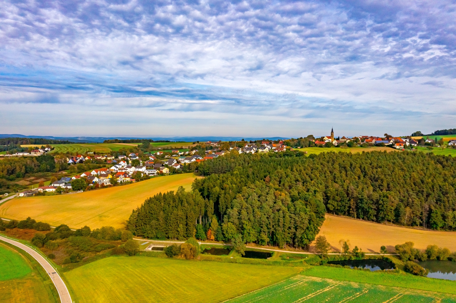
The district of Pittersberg in the municipality of Ebermannsdorf stands out from the patchwork of fields with bright buildings and red roofs. A dirt path leads the view from the brown plots to the first farms. At this point the village has a recognizable entrance in the aerial photo.
From the fields to the farms
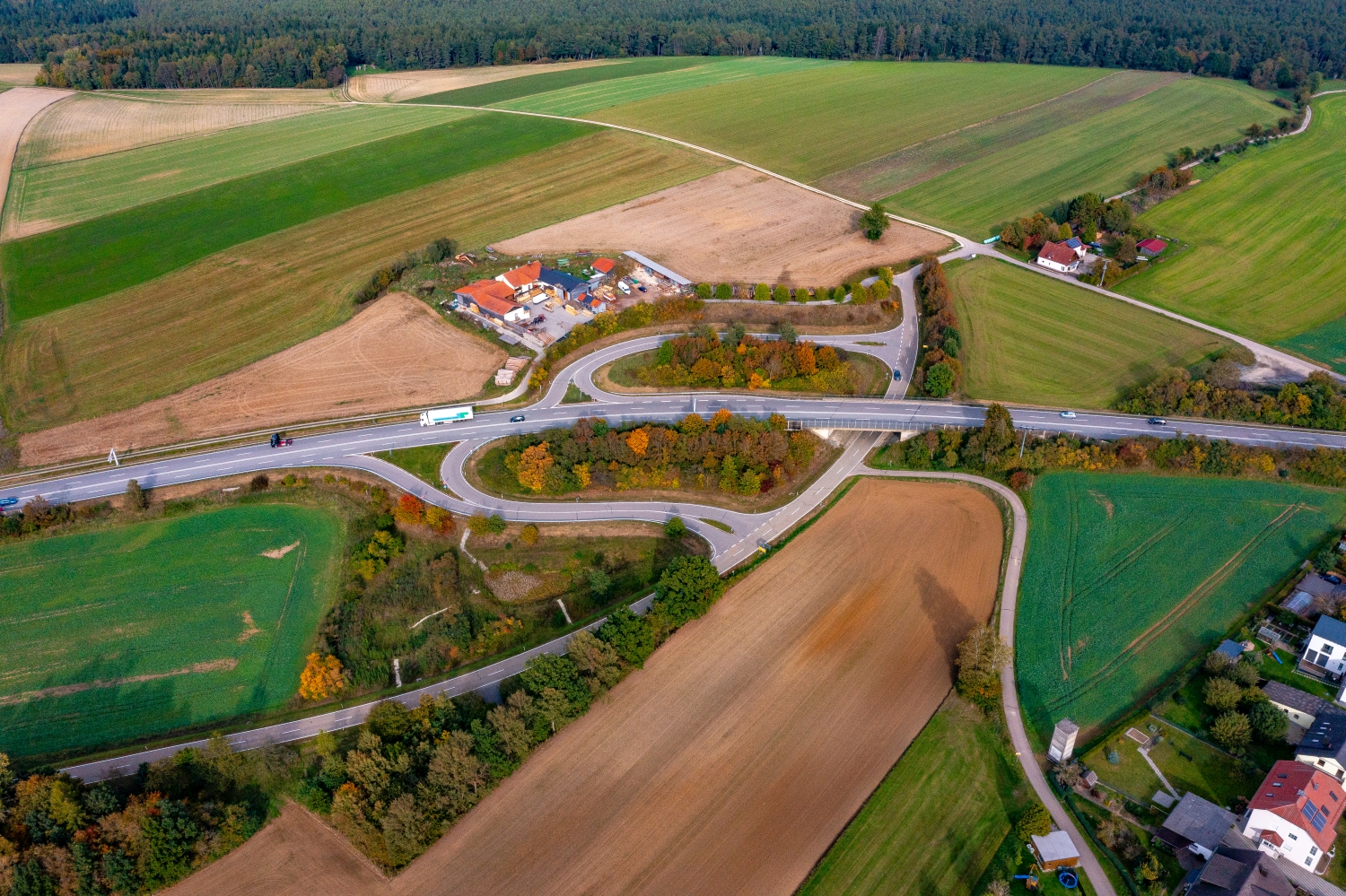
At Pittersberg the roads lead from individual farm groups into longer field paths. The edge of the picture can therefore either close the village or indicate the connection to Ebermannsdorf and the surrounding area. This is a concrete decision when selecting a photograph for a community portrait.
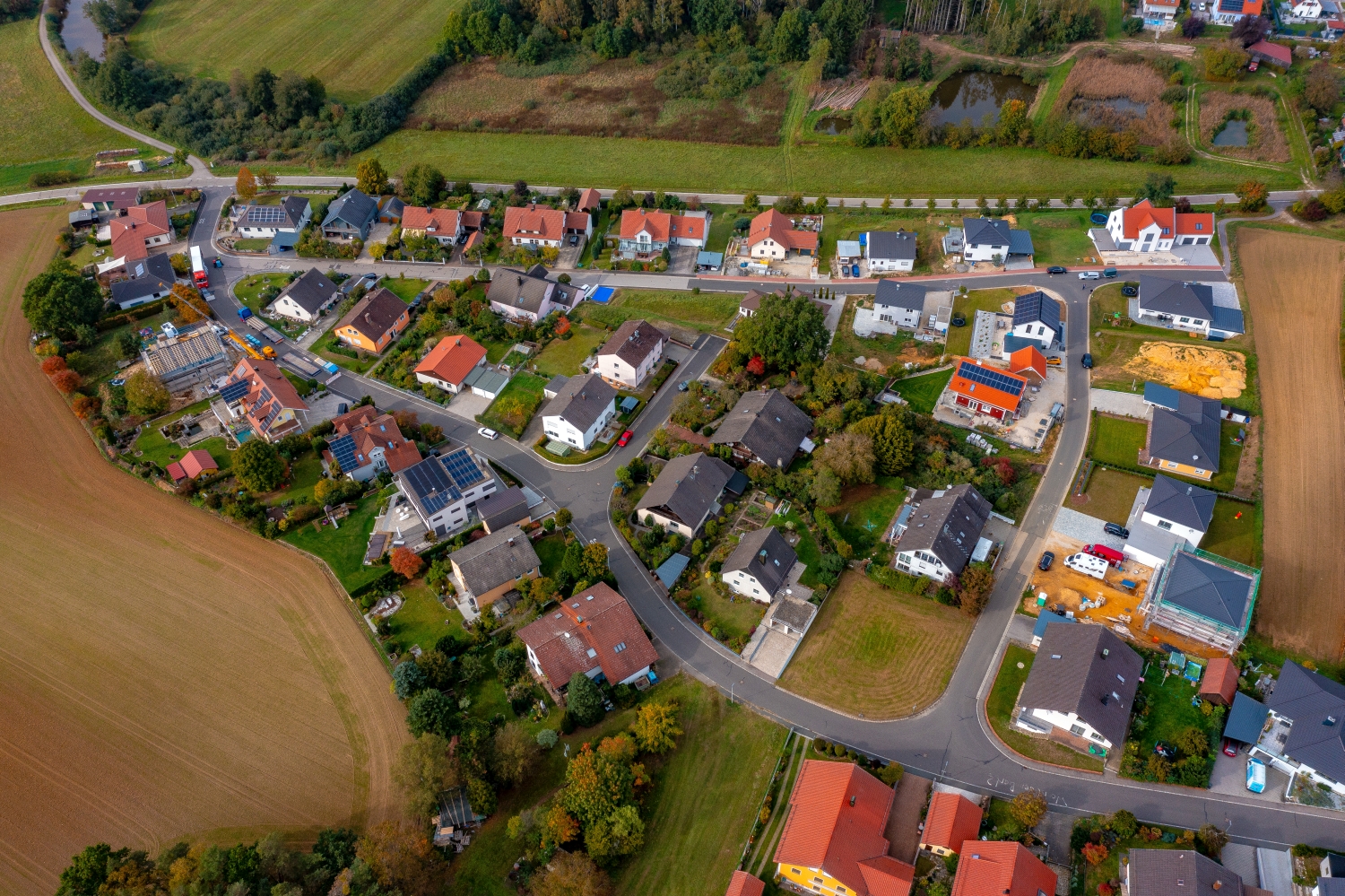
The center of a town can often be recognized from the air by the intersection of several streets. These lines diverge towards the open landscape, the properties become longer and the distances between the houses become larger. Anyone who chooses an image for a location portrait can pay attention to these transitions. A motif with a piece of the surrounding area tells where the place is. A narrower shot, on the other hand, gives people who live or have lived here more opportunities to find familiar buildings in the picture.
Field boundaries as a benchmark
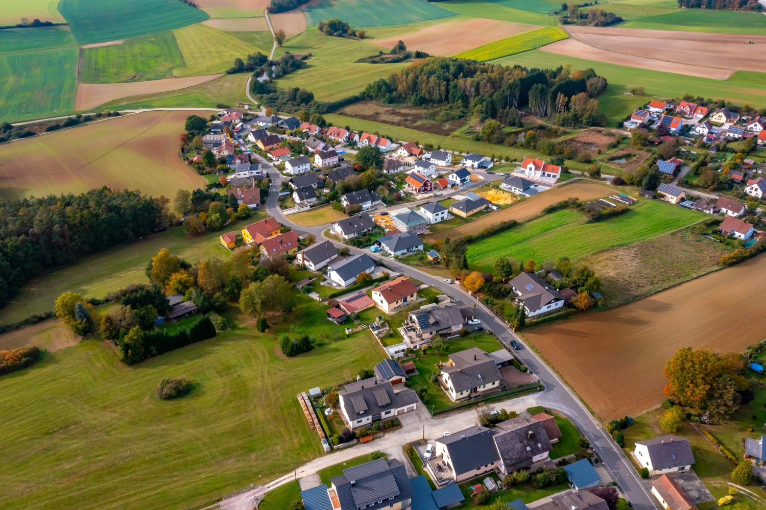
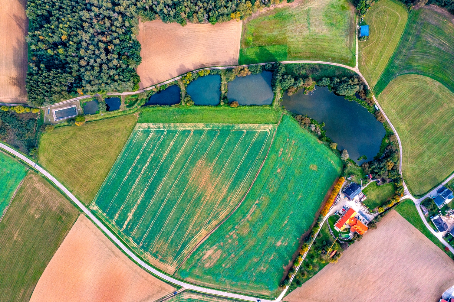
From a greater height, the field appears to be an orderly floor plan. A closer look shows how the paths change direction at curves, embankments and property boundaries. When selecting images, it is helpful to preserve at least one of these transition points. It turns a colored area into a piece of actually used landscape. For an article about the surrounding area, even the inconspicuous edge of a field can explain more than a wide section that only shows numerous plots as small spots.
What becomes visible on the edge of town
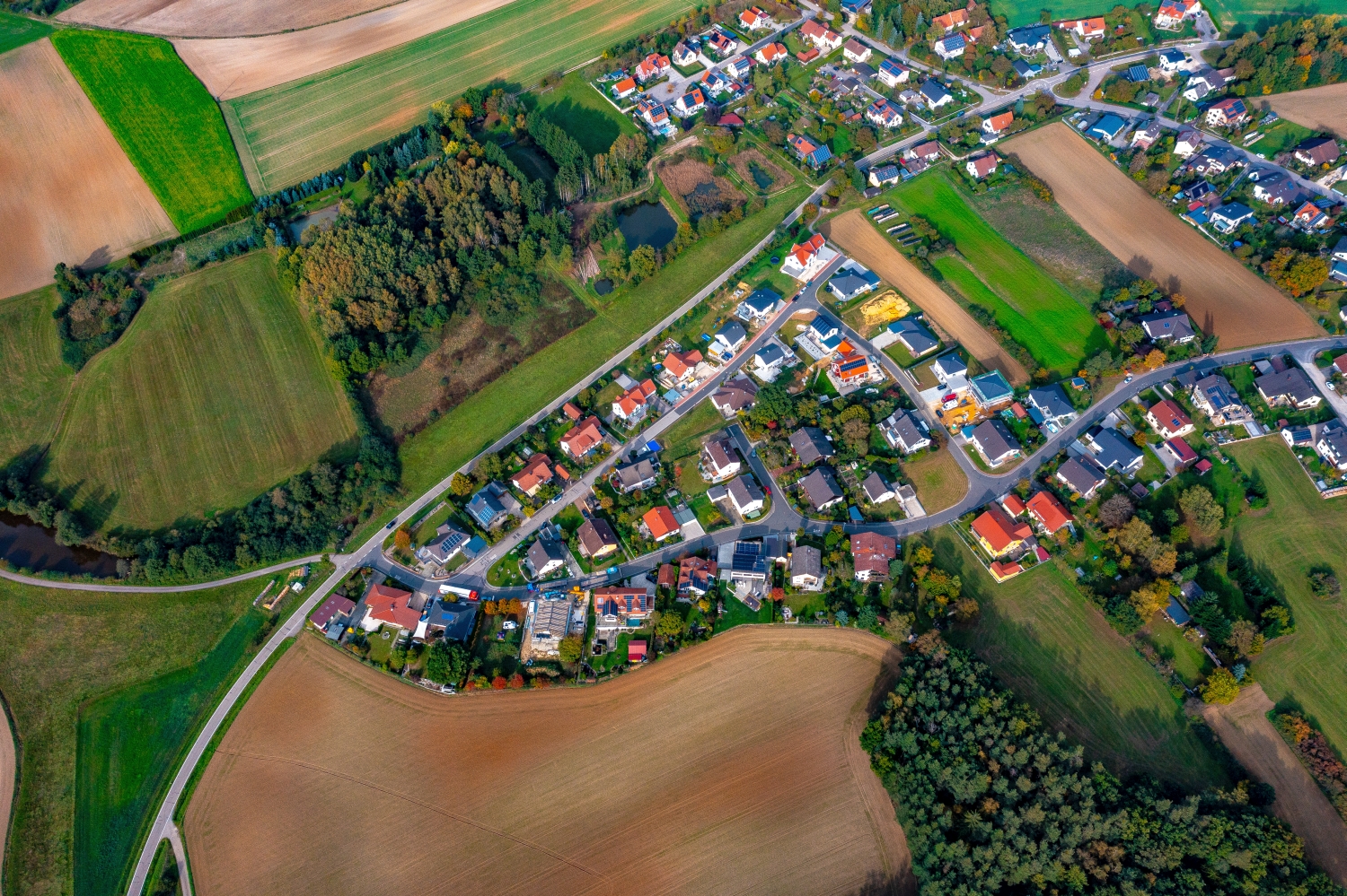
On the edge of town, several scales come together in a small section. On one side there are individual buildings with gardens and driveways. On the other hand, a single open area sometimes takes up as much space as several streets. This change can be shown in the picture over a common edge. A section in which the border between the two areas remains visible even when displayed narrowly is suitable for a website. The motif then retains its local reference even in the mobile view.
Shades of green in the image
If you browse through the 21 aerial photos, you can stay at shot 1 and shot 17 for a comparison. In the first image, green areas make up a smaller part of the section than in the second. It's worth tracking the green areas individually. Only in connection with neighboring forms does it become clear what is in the foreground and what belongs to the more distant surroundings.
For Shot 1 and Shot 21, the same day is noted in the image files, October 18, 2023. The recording times recorded are approximately 15 minutes apart. The exposure time was 1/640 second for the first of the images mentioned and 1/800 second for the second.
For a selection of moving images, the gallery contains 4 linked clips. Among them is “Pittersberg municipality of Ebermannsdorf in the Upper Palatinate district of Amberg Sulzbach Bavaria”. Under Aerial Videos the preview leads to the aerial photographer's respective offer at Adobe Stock.
A townscape for chronicle and community
Anyone who wants to show their family their place of origin often first looks for their own house in the aerial photo. When publishing for the community, the task is different. Even a non-local reader should be able to easily follow the path from the core to the landscape. An aerial photographer can start from the same terrain for both purposes and choose the section differently. What counts for the family portrait is the recognizability of a specific property. When it comes to the townscape, however, it is worth adding a little more surrounding area, even if it means that the individual roof appears smaller.
Related motifs in the aerial photo archive
If you are looking for related motifs, you can start with Esselbach. Esselbach stretches over moving terrain in which arable land and forest come close to the houses. It's worth taking a second look at Borsdorf. In Borsdorf the red roofs are arranged in a comparatively compact group.