 F4LUFTBILDER
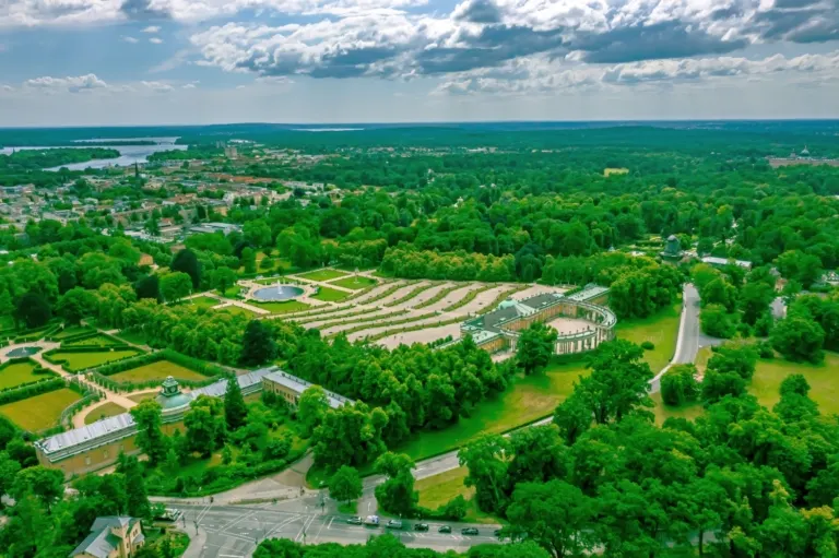
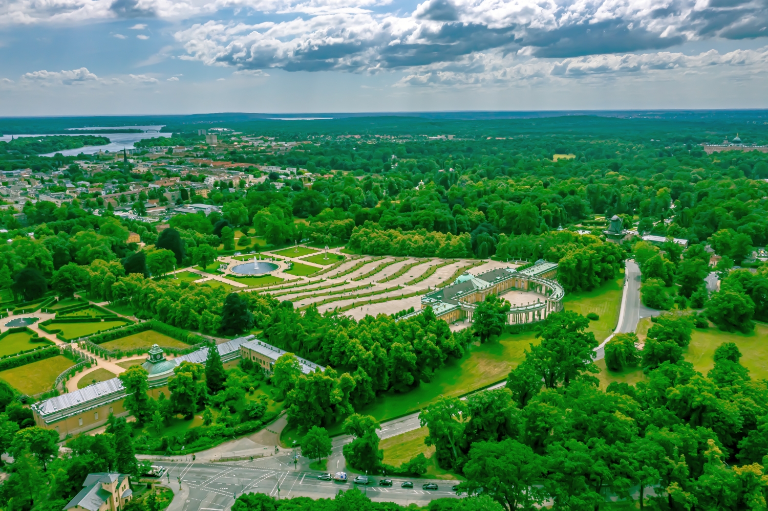

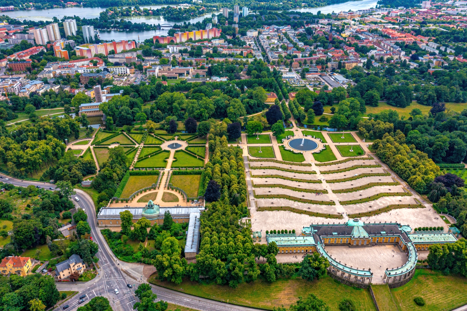

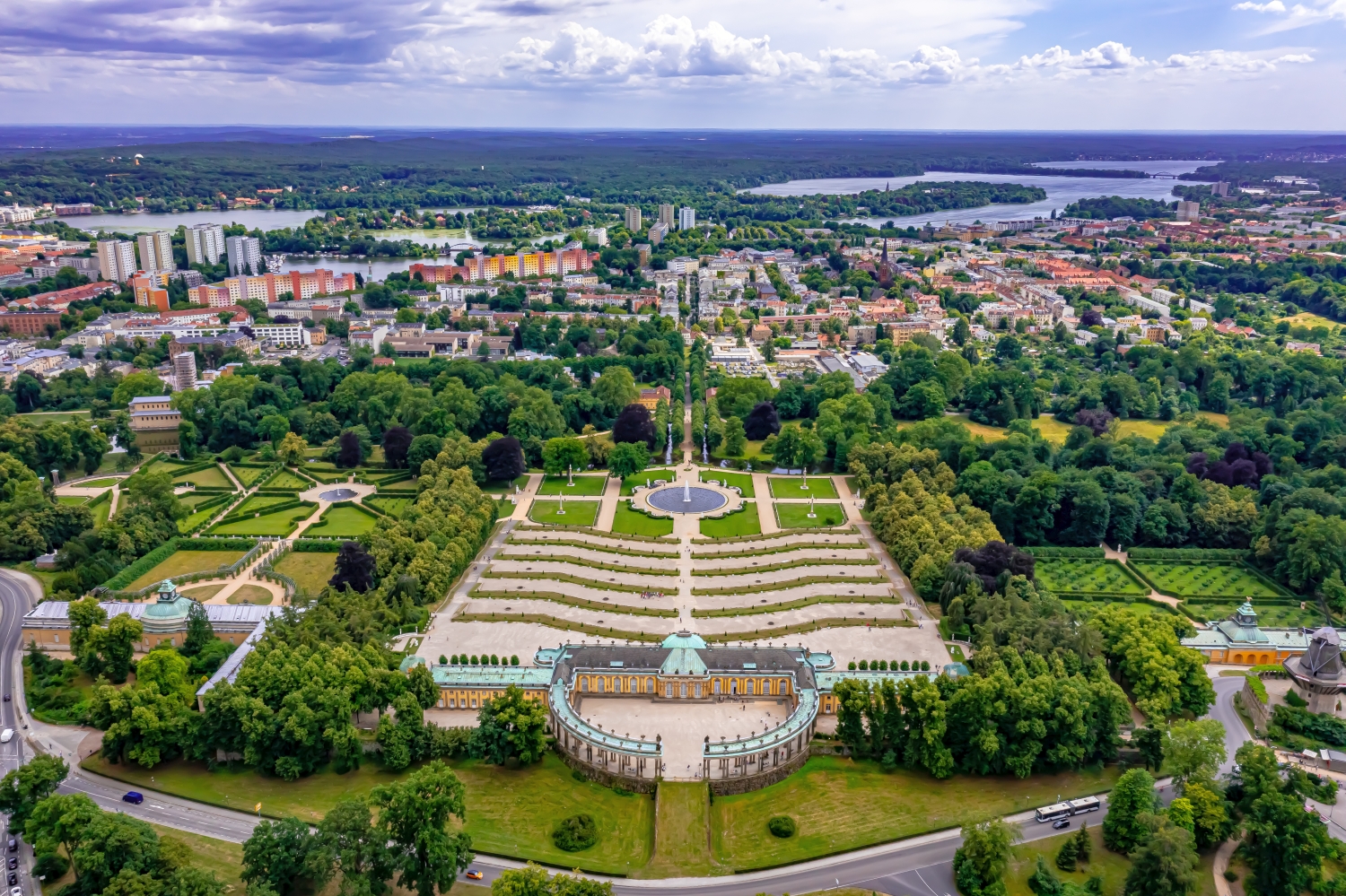
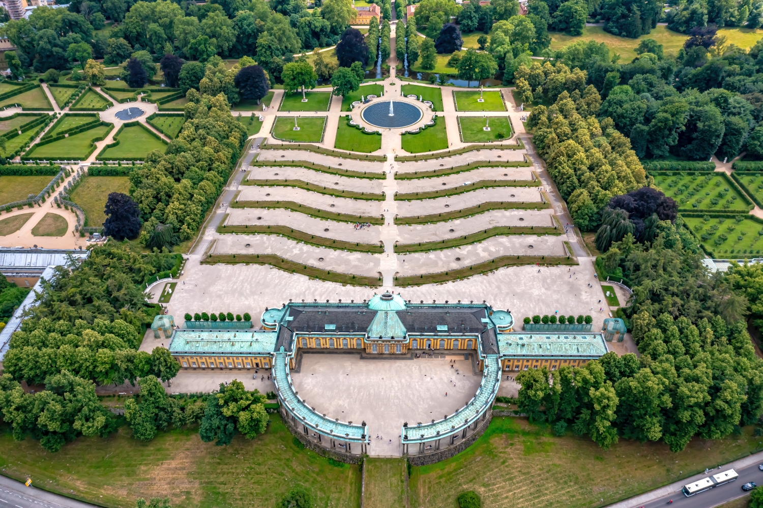
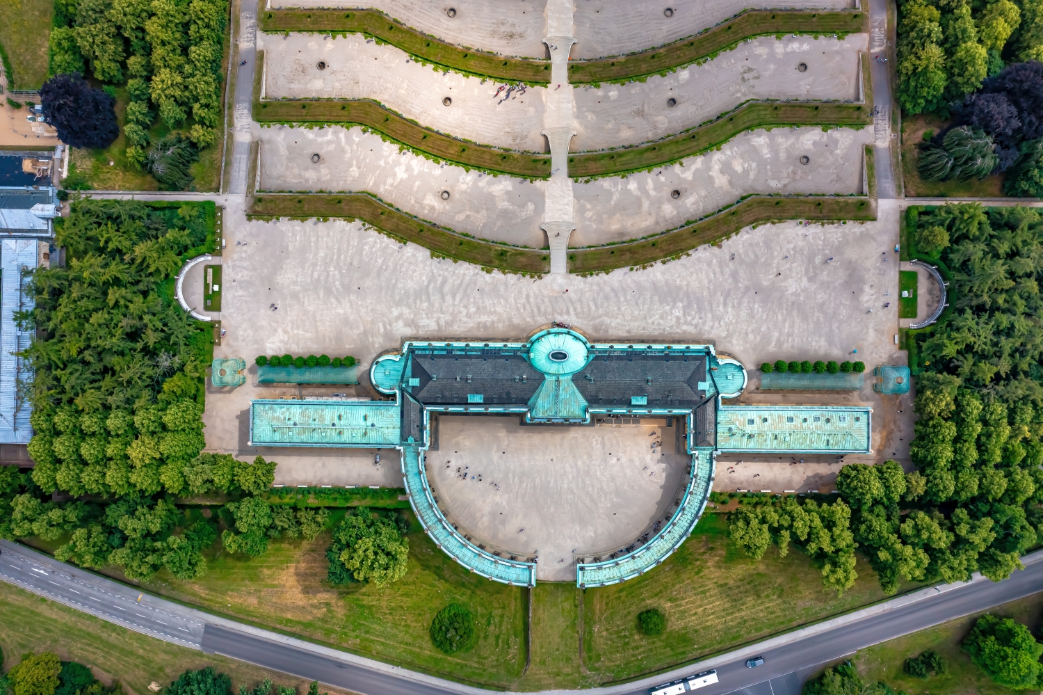
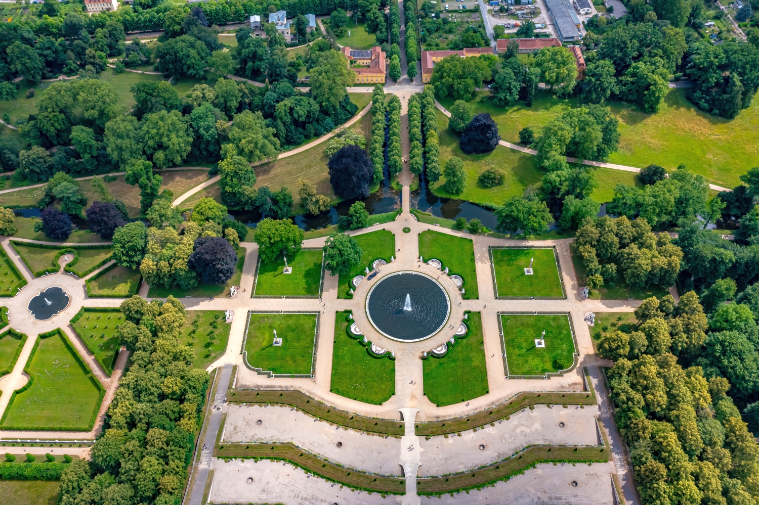
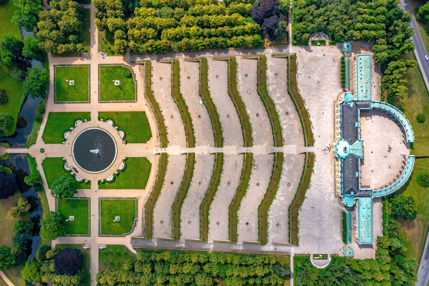
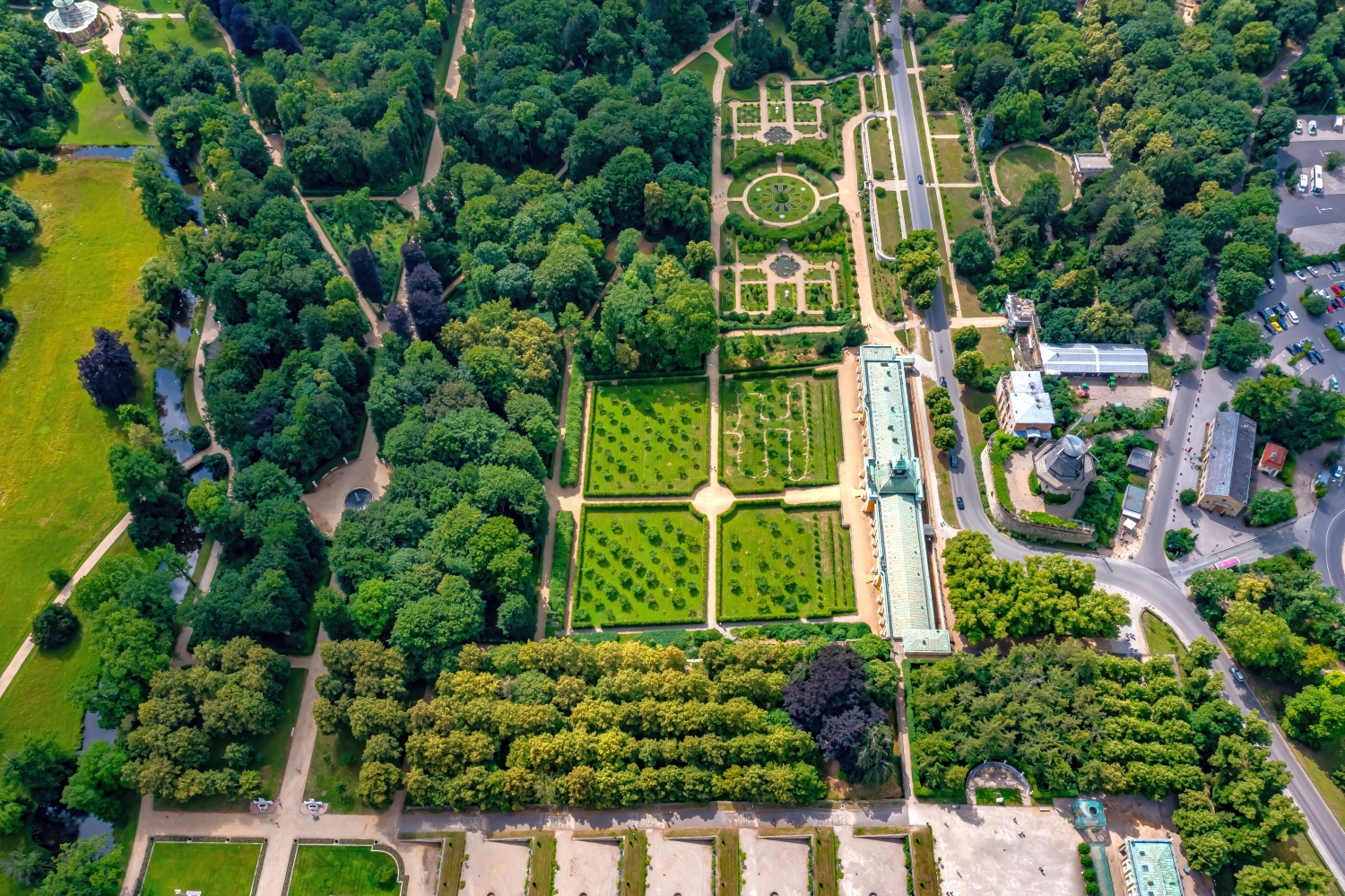
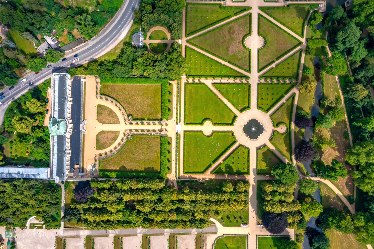
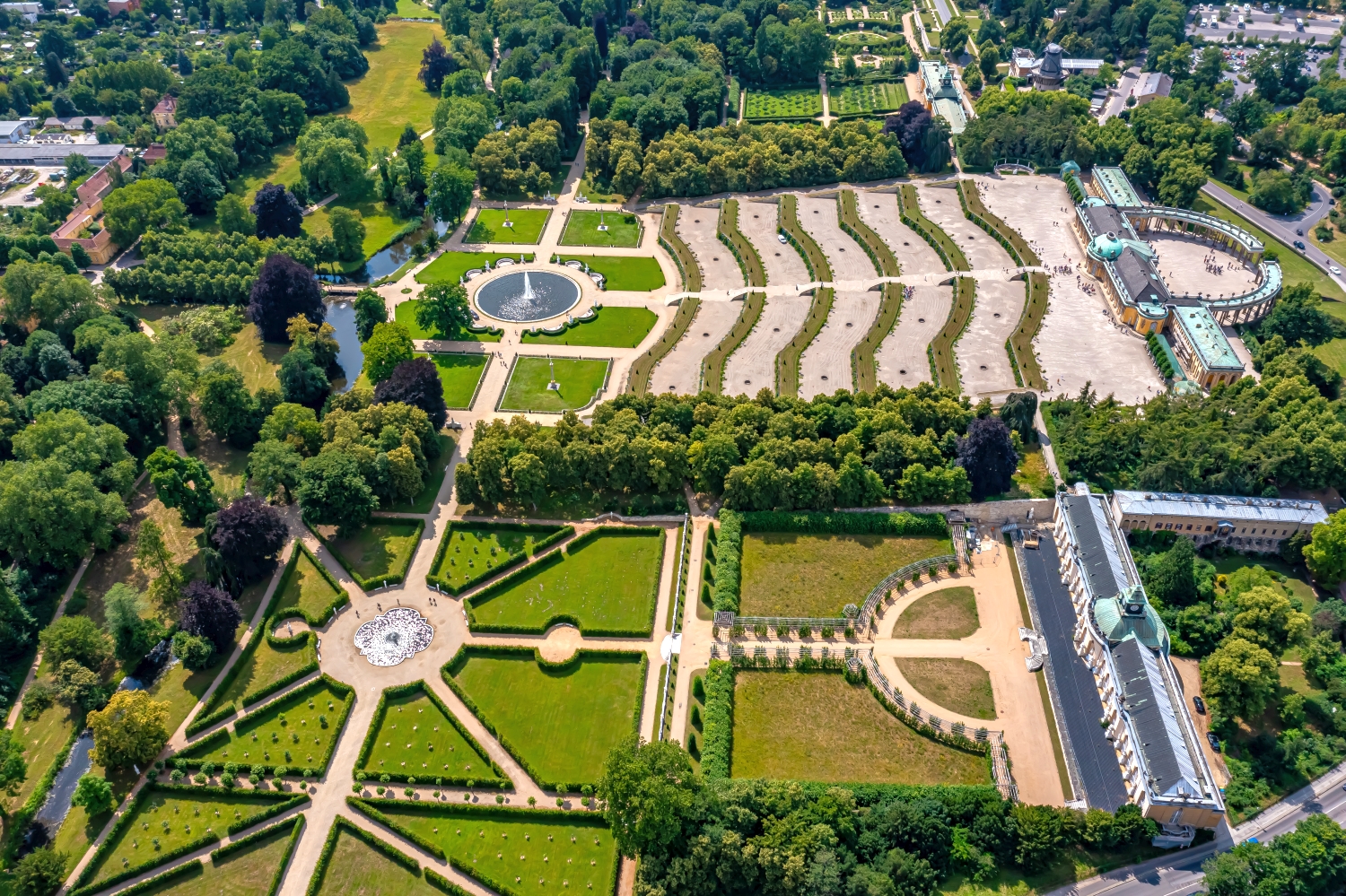
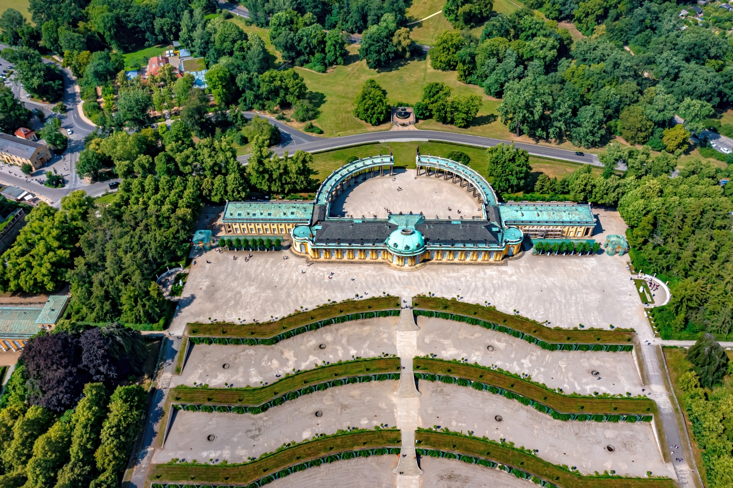
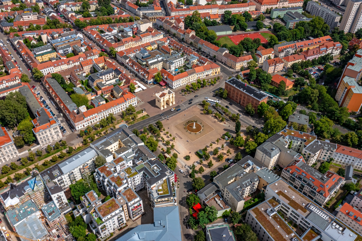
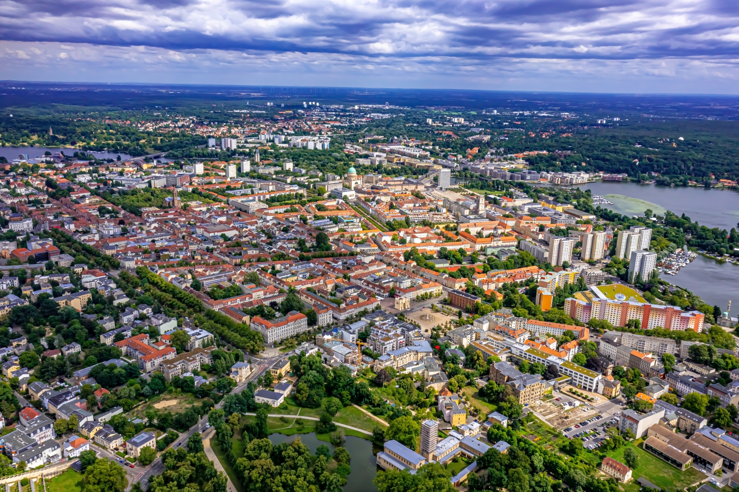
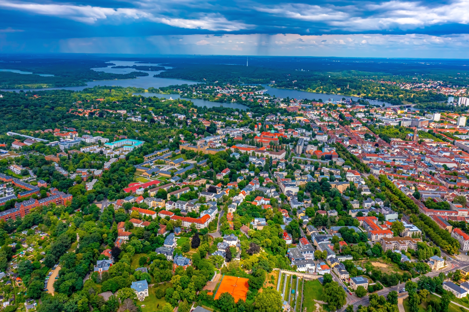
Terraces and garden axes in Potsdam
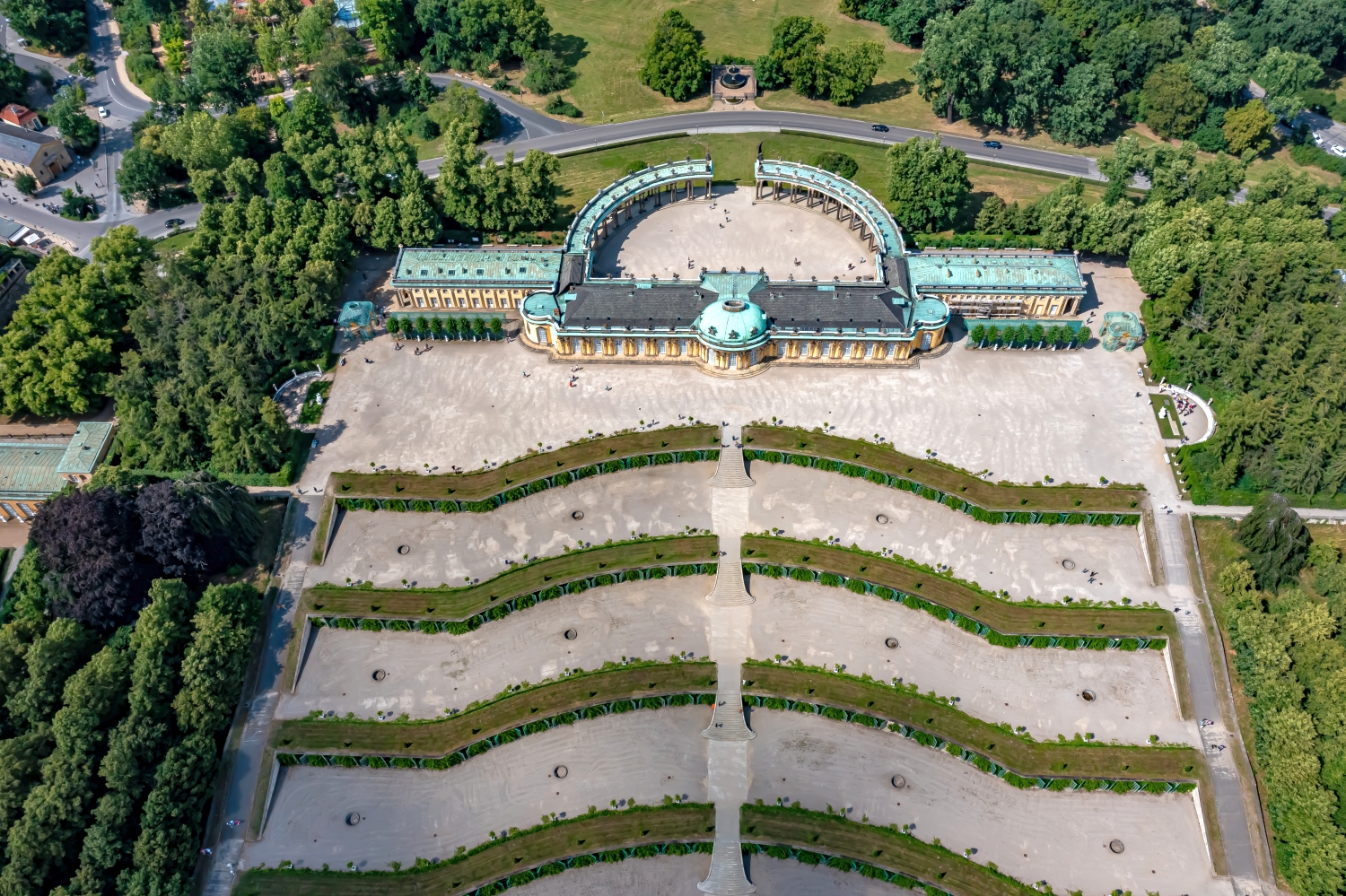
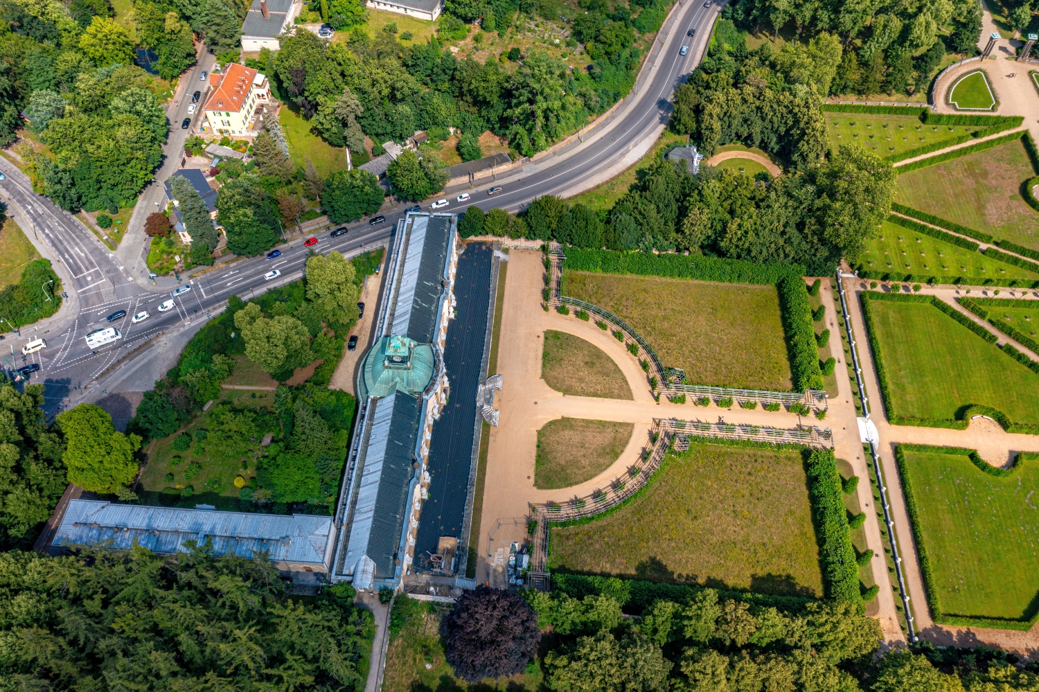
In the Potsdam photos, curved terrace steps lead towards a straight garden axis. Carefully structured lawns lie between the bright paths. The view from above makes it understandable why the image can so easily lose its center when rotated or cropped.
The geometry of the terraces
In the Potsdam Terraces the center of the picture is unusually clear. A section offset to the side shows how straight paths and curved steps overlap. A view aligned precisely with the axis, on the other hand, makes the repetition of the individual garden sections particularly clear.
In gardens, humanly placed forms meet freely growing vegetation. From above, a line of trees can mark a path, even if it is mostly in the shade. When selecting images, the transitions between paved ground, lawn and dense vegetation are interesting. They explain the division of the area. This is particularly helpful when publishing a view of buildings, because the connection between the house, entrance and garden can be seen from the course of the paths.
Order along a line
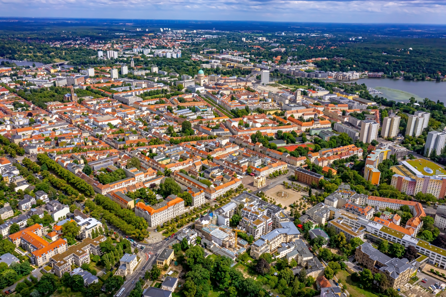
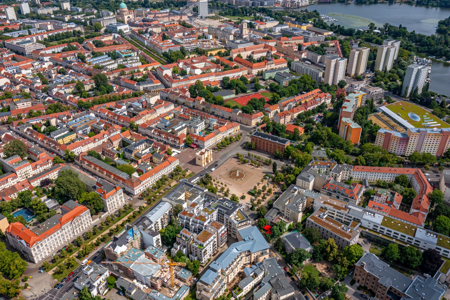
To find your way around an unfamiliar townscape, you can follow a continuous line until there is a noticeable change in direction. It is often only on this path that small junctions or free spaces become apparent. The image section determines how much of this order remains visible. If the beginning of the line remains in the foreground and its destination remains in the back part of the image, a photograph has a clear reading direction even without drawn arrows. It's particularly worth looking at in a portrait format.
The open spaces between the buildings
In a green area, the view from above shows, in addition to the trees, primarily the open spaces. A path can change direction in an open area, and dense vegetation can almost completely obscure a building. The system is easier to understand when they interact together than through individual trees or roofs. If you want to explain a park area in a picture, look for a place where the path, open space and vegetation come together. It offers an easy-to-read introduction to the larger floor plan.
Shades of green in the image
For a direct image comparison, use shot 17 and shot 1 from the gallery with 20 aerial photos. In the first image, green areas make up a smaller part of the section than in the second. It's worth tracking the green areas individually. Only in connection with neighboring forms does it become clear what is in the foreground and what belongs to the more distant surroundings.
According to camera data, Shot 1 and Shot 11 were taken on July 5, 2023. There is a gap of around 3 minutes between the two images. The exposure time was 1/1000 second for the first of the images mentioned and 1/500 second for the second.
How to recognize created areas
In a designed landscape, the direction of paths often says more than a single detail. A straight axis can connect several areas, while a curved path can accommodate the movement of the terrain. Which of these lines is easy to read in an aerial photo also depends on the vegetation and the light. For an aerial photographer, the future intended use is therefore an important clue. An overview for visitors needs clearly visible connections. An image for a report may come closer to a single characteristic area.
Related motifs in the aerial photo archive
The article Twistringen offers another perspective. In Twistringen you can see a striking amount of green between the houses. In the gallery Weimar there is a different focus. In the aerial photos of Weimar, rail lines lead out of the sea of houses.