 F4LUFTBILDER
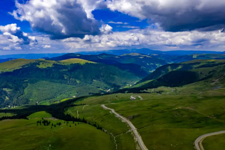


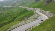
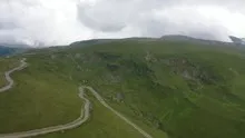
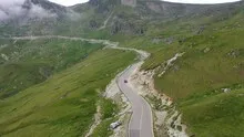
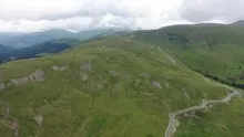
The Transalpina as a line in the mountains
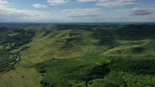
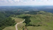
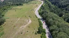
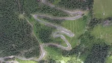
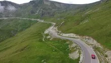
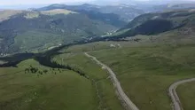
On the Transalpina, a narrow, bright road line relates the wide mountain slopes. Depending on the viewing angle, a curve disappears behind a back or can be followed in one go. The aerial photos show the Romanian mountain road as part of the terrain.
Follow the bends through the heights
On the Transalpina, a single curve often only reveals part of the climb. In the further picture, the next bends show how the road actually gains height.
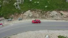
A pass road shows the climb through its changes of direction. In an oblique aerial photo, several curves can appear to be at the same height. Only the embankment between two sections makes the difference in height visible. For a landscape photograph, it is therefore interesting to have a perspective that includes not only the street line but also the surrounding flanks. In a closer view, a single bend can then be the focus. Together, both images convey both the course of the route and the nature of the terrain.
The graduation of the mountain ranges
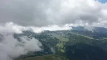
In a mountain landscape the view is divided into the foreground, middle slopes and distant heights. What merges into a closed surface in flat light separates into individual ridges when lit from the side. A gap between two ridges is often enough for the viewer to estimate the depth. For a landscape photograph, this gap is an important part of the subject. If you leave them standing while cropping, the spatial effect is retained even in a smaller image format.
Connections in the larger network of paths
When describing a location, only the street itself is rarely interesting. The places where they connect something, limit an area or meet another path are revealing. In an aerial photograph, such a section can be followed into the surrounding area. A look along the route can emphasize its length, a steeper look at an intersection its shape. When making a selection for a report, it helps to ask whether the reader should follow a route or recognize a specific location.
Shades of green in the image
If you browse through the 24 aerial photos, you can stay at shot 18 and shot 11 for a comparison. In the first image, green areas make up a smaller part of the section than in the second. It's worth tracking the green areas individually. Only in connection with neighboring forms does it become clear what is in the foreground and what belongs to the more distant surroundings.
For Shot 1 and Shot 24, the same day is noted in the image files, July 14, 2020. The recording times recorded are approximately 41 minutes apart. The exposure time was 1/640 second for the first of the images mentioned and 1/200 second for the second.
For a selection of moving images, the gallery contains 16 linked clips. Among them is “Transalpina by car from the air”. Under Aerial Videos the preview leads to the aerial photographer's respective offer at Adobe Stock.
Select landforms for a landscape portrait
A single contour line can shape the impression of a landscape and yet reveal little about its extent. For a printed panorama, it is worth looking at the widest view first and then at a section of the same area. In a small format, a foreground with a clear contour can become more important than the most distant peak. If you plan a new view with an aerial photographer, you can make this decision based on the intended page layout and clarify in advance which part of the landscape definitely belongs in the picture.
Related motifs in the aerial photo archive
If you are looking for related motifs, you can start with Andorra. In Andorra, the valley floor and mountain slopes come close together. It's worth taking a second look at Romania - Sighisoara. In Sighisoara, the Romanian town of Sighișoara, wooded heights are right in the middle of the buildings.
Aerial photos of the Transalpina
Your aerial photographer across Europe
Request a free quote