 F4LUFTBILDER


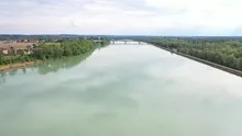
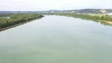
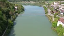
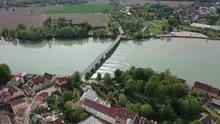
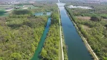
The Danube in changing bank landscapes
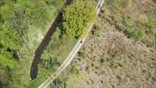
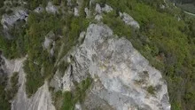
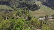
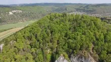
The Danube series brings straight stretches of water, small overgrown islands and built-up banks into context. The river changes its shape and the width of its visible space. The photographs can be organized based on individual bank features without labeling different sections as the same place.
From bank detail to river landscape
In a Danube photo series, several bank shapes can stand next to each other. An open meadow represents the river differently than a castle or a narrow town view on the same body of water.
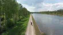
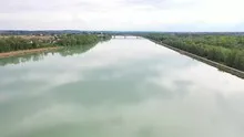
A river changes its role with the direction of view. Across the water you can clearly see how close the development is to the bank. A view along the run connects several sections that appear separate from the street. A particularly vivid image is one in which there is a prominent bank in the foreground and a second reference point further back. The eye can then follow the distance between them itself. A picture caption is achieved by indicating which side of the river the main motif is on.
The shore zone in detail
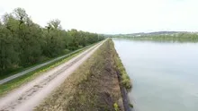
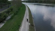
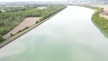
On the bank, the familiar solid surface and the changing water surface lie right next to each other. An embankment or a narrow path can appear significantly wider when viewed from an angle than when viewed from a steeper perspective. That's why it's helpful to keep a point such as a junction or a prominent curve in the image. It combines the close-up view with the panorama. Even when switching from landscape format to portrait format, this transition should remain visible if the location on the water is the actual topic.
Preserve open land in the picture
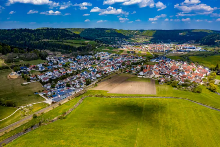
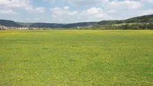
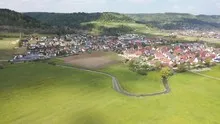
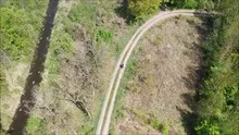
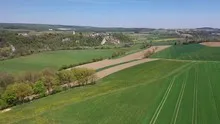
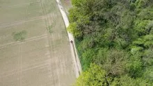
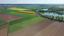
A meadow may look almost empty in a small preview. The larger view shows paths, individual shadows or transitions to neighboring properties. As a foreground, it creates distance before the view reaches the houses or the next slope. This distance is often an important part of the composition in landscape photos. If it is pruned too much, the development will appear denser. A deliberately wider section, on the other hand, shows what space the open land actually takes up.
Shades of green in the image
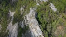
If you browse through the 38 aerial photos, you can linger at shot 4 and shot 37 for a comparison. In the first image, green areas make up a smaller part of the section than in the second. It's worth tracking the green areas individually. Only in connection with neighboring forms does it become clear what is in the foreground and what belongs to the more distant surroundings.
The camera data for shot 1 is April 25th, 2020, and that for shot 38 is April 28th, 2020. This gallery therefore contains more than one recording time. Anyone who compares the landscape or the building condition can incorporate this data into the image description. ISO 100 and an exposure time of 1/320 second are recorded for both files.
The Aerial Videos section supplements the photos with 24 clips. The photographs by the aerial photographer linked there include “Mühlheim an der Donau Luftbilder”. The relevant video page on Adobe Stock can be opened using the respective preview.
Explain the course of the river in the picture
An image path along a body of water can follow the direction of flow. In order for readers to understand the transition between the local views, they need a recognizable reference point for each section. This can be a crossing or a significant bend. Whether water can still be seen on the left or right of the finished print also depends on the page format. It is therefore worthwhile for the aerial photographer to know whether a wide double page or a narrow single image is intended. A cut-off bend in the river can significantly change the view of the town.
Related motifs in the aerial photo archive
If you are looking for related motifs, you can start with Donaueschingen. Brigach and Breg flow together near Donaueschingen. It's worth taking a second look at Munderkingen. The Danube forms a pronounced curve around the buildings near Munderkingen.
Aerial photos of the Danube
Aerial photography & aerial videos
Your aerial photographer for the Danube and the surrounding area
F4 Luftbilder – Your specialist for aerial photographs and aerial photography in Danube and the surrounding area. Benefit from our many years of experience and technical equipment and let us convince you of quick implementation and unbureaucratic processing. We look forward to inspiring you with breathtaking aerial photographs and aerial photos of Danube and the surrounding area.
Fascinating shots from a bird's eye view - the most beautiful aerial photos of the Danube
The most beautiful aerial photos of the Danube
The Danube is a beautiful river that flows through numerous countries. Its beauty makes it a popular destination for photographers. This creates breathtaking shots from a bird's eye view that show the full splendor of the river.
In this article we have put together the most beautiful aerial photos of the Danube for you. Enjoy the impressive views and be enchanted by the beauty of the river. At almost 4,000 kilometers long, the Danube is the second longest river in Europe. Its course leads through Germany, Austria, Slovakia, Hungary, Croatia, Serbia, Romania and Ukraine. Sometimes it lies there quietly like a mirror, sometimes it roars over rocks - depending on where you are.
Viewed from above, the beauty of the Danube is particularly fascinating: sometimes it looks like a sleeping giant, wrapping its arms around the banks and gently leaning its head. Then, in the middle of the dense green vegetation, you discover a small place where people seem to live their everyday lives quite normally - completely unimpressed by the fact that it sits and smooshes and spits down here like a huge witch's cauldron. Germany is known for its large rivers, most of which originate in Europe. One of these beautiful rivers is the Danube, which winds through ten countries and four capitals. The Danube is a river with incredible beauty and history and therefore also offers great subjects for aerial photography. We have put together the most beautiful photos of the Danube for you so that you can get an impression of the fascination of this river for yourself.
Unique shots from a bird's eye view
It's amazing how much of the world you can see when you're at a lofty height. Fascinating shots from a bird's eye view give us a unique insight into the beauty of our environment. From a bird's eye view we can discover breathtaking landscapes and sights that would otherwise remain hidden from us. These aerial photos show us the Danube in all its glory - from the gentle waves on the shore to the majestic mountains in the background.
Each of these shots is unique and offers us an impressive insight into the beauty of nature. They remind us how important it is to protect and preserve our environment. If you look at the Danube from above, you get a completely different view of this fascinating body of water. The aerial photos not only show the beauty of the landscape, but also the vastness of the river. You can clearly see how it runs through the country and keeps making new curves. The shots are really unique and give us a completely different view of the Danube.
Fascinating perspectives on the Danube
Viewed from above, the Danube appears in a completely different light. Fascinating shots from a bird's eye view show us a landscape that we have never seen before. The most beautiful aerial photos of the Danube are breathtaking and leave us amazed. This perspective on our river is unique and shows us how beautiful our country is.